The Dream Lives On
Taking little steps out farther each time, I have finally found the outer limit of my Quicksilver’s range. That maximum range is about 90 miles – the distance to Bartlesville, Oklahoma from Wichita, Kansas. That is where I went last Saturday, taking off before sunrise. It was another in a series of treks over fantastic panoramas.
The days prior to Saturday had been abnormally cool for this time of year. I have spoken about wearing a windbreaker in previous stories. This time I thought it best to wear some long pants, too. If I had been really smart, I would have worn some gloves this time, too. As has been the case the previous two “distance” flights, again, it took about 20 minutes after landing for my fingertips to thaw out… There’s no way around it. Even though the day may end in temperatures pushing 100, the early morning wind chill needs to be accounted for.
All Fliers Are Meteorologists
The forecast was about a 50-50 for rain in the Bartlesville area but the conditions did not portend thunderstorms. I decided if I encountered rain I would just turn back. I had a number of alternative fields picked out. If necessary I can land in pretty much any field, too, and wait for it to pass. Rain isn’t much a threat as an inconvenience. LIGHTNING, on the other hand is to be avoided at all cost. Lightning we don’t fool with. I guess hail can make a nice day bad, too… (read my HAIL story here) Anyway, I had studied the weather forecasts the night before and looked at the satellite view that morning on the web. I didn’t see any indication there would be lightning or thunderstorms. Even after all that, before taking off I stood out on the runway and watched the direction of the clouds aloft. It was that 5 minutes of intense observation that closed the deal. I knew the flight would be OK.
As I have done on all these flights I set my little Garmin Oregon GPS for my destination and then followed the arrow. Now that’s not to say I don’t bring a sectional along because I do. I just cannot use it in the air because of the 40 mph wind I am sitting in. In addition to that is my need for reading glasses. So, contending with reading glasses and the wind, the GPS works pretty good.
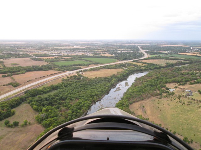
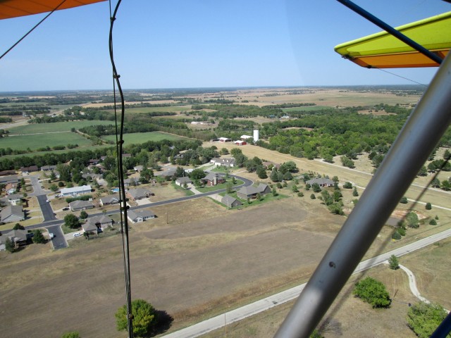
As I left the pattern at Selby Aerodrome the GPS arrow points me directly in the center of the photo you see below. A very interesting happenstance this is because that put me directly in line with “The Mulvane Corridor“. If you look closely at the shot below, you will see a brown field in the middle of the populated areas directly across the highway. I call it The Mulvane Corridor because it is a couple of sections of property separating the “old” Mulvane, Kansas on the right from the “new” Mulvane on the left. I use it to cross over the city because ultralights are not allowed (by FAR 103) to cross over “congested areas”. Some might call that definition intentionally vague but I think we can agree it means “don’t fly over cities or towns in an ultralight”. I think that is a wise rule on the part of the FAA – and fair.
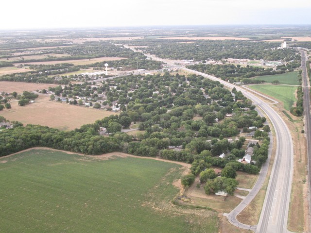
The “older” Mulvane, Kansas South of “The Mulvane Corridor” as seen from 1,000′ AGL looking South Southeast.
I was able to drop down to UFL75 (Ultralight Flight Level 75 Feet) a little bit before passing East of Udall, Kansas. That was about when I decided the flight would be a “go” because my ground speed was very close to my airspeed – about a 2 mph deficit. This put me at a 36 to 38 mph ground speed average. Into a headwind, I could not complain.
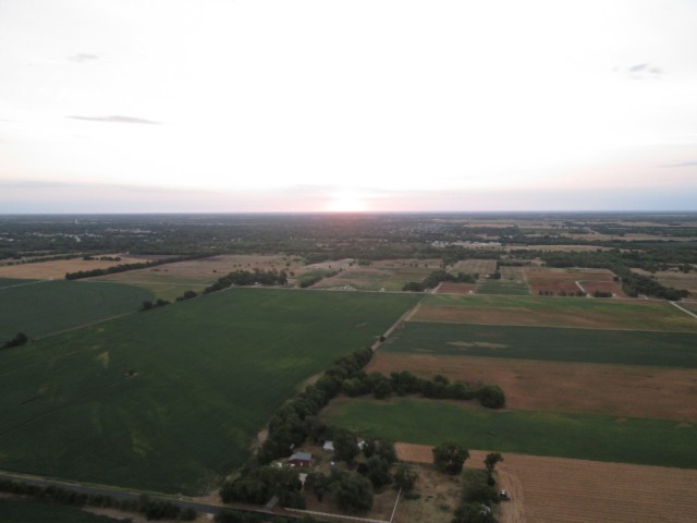
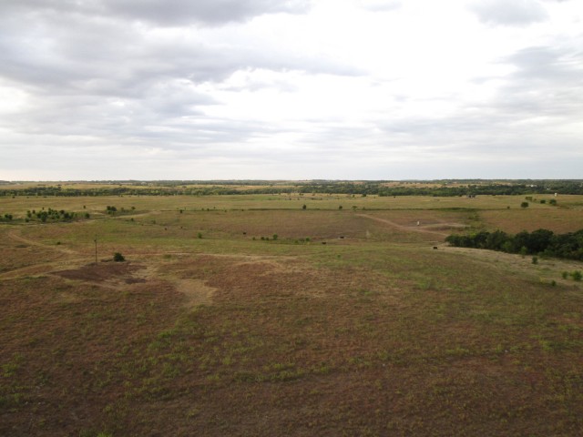
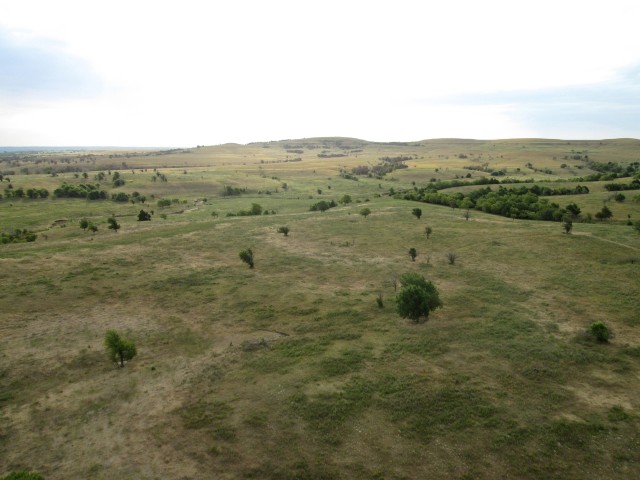
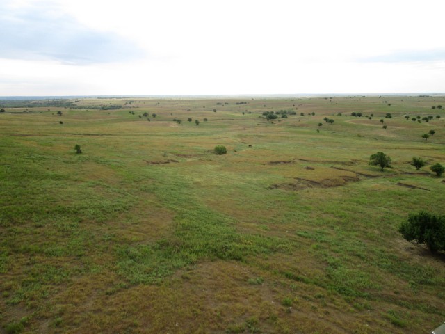
Next are a series of shots I took early in the flight. Because of the 100% cloud cover, the camera made the pix look pretty “flat” but to my eyes at the time there was plenty of color. As always when journeying over the state, the landscape I flew over that morning looked markedly different from other areas I had traversed during other flights. Kansas has an extremely diverse natural scenery.
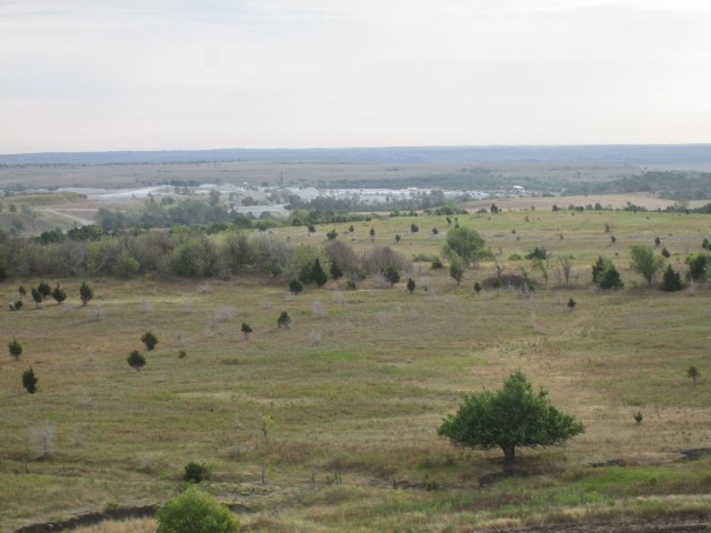
A Quarry 5 Miles Southeast of Dexter, Kansas
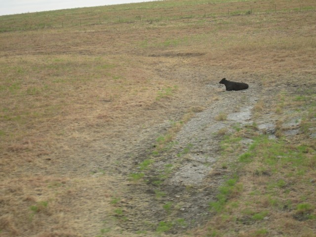
Next is not the greatest shot but I kept missing them earlier in the flight: Bulls, that is. I have been noticing on some of my flights that there are always bulls off by themselves. Probably the ranchers keep them that way to avoid fights and to control their interaction with the cows. This one was just sitting off by himself in a little gulley. I snapped it as he suddenly came into view.
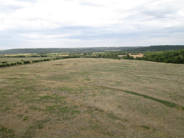
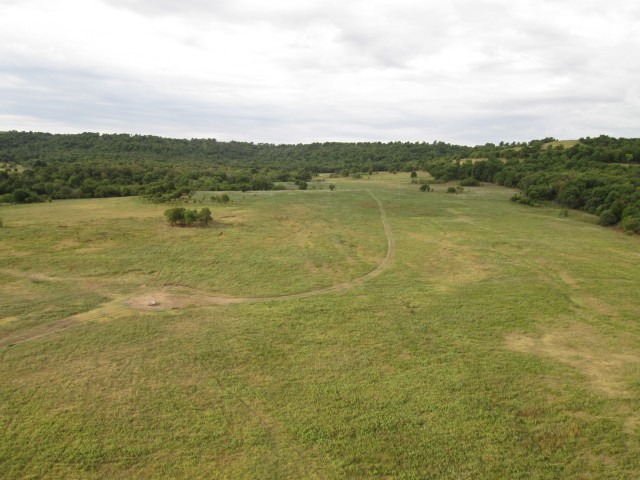
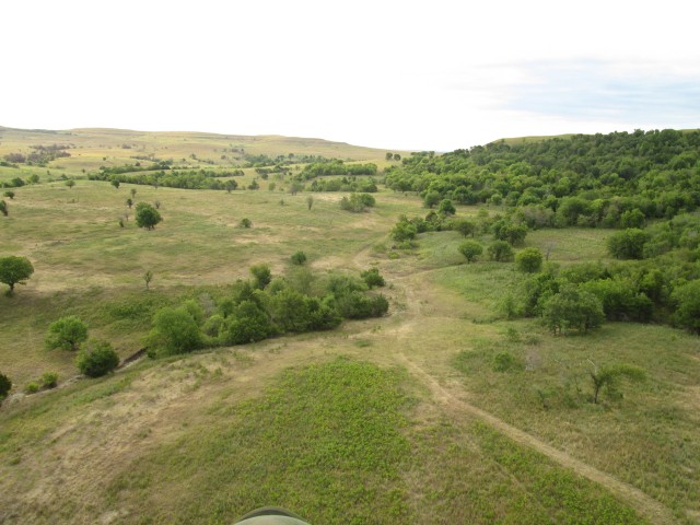
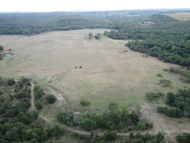
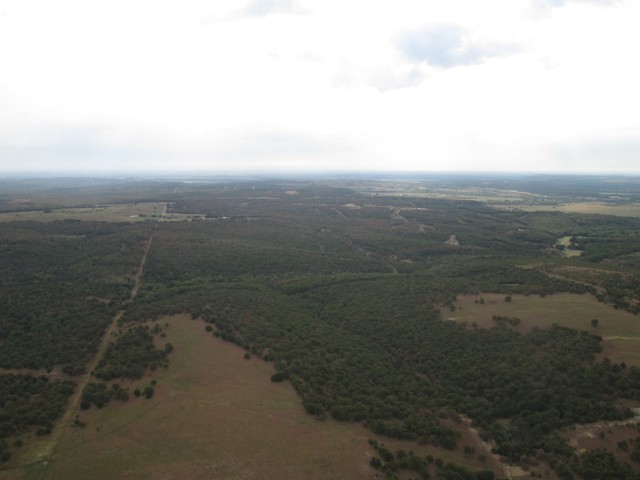
An interesting difference manifested itself on this trip to the Southeast part of Kansas. Unlike most of the other areas I have flown low over this Summer, out here there are large stretches of land without section roads. You will see some dirt roads occasionally but there are no County Section Roads out here. It looks like the Ranchers use their pickups, 4 Wheelers or horses to get around back here without the benefit of established roads. It also means that if an Ultralight experienced an engine failure, the pilot would have “a fair piece” to walk for assistance. I suspect the cell phone would be useless, too…
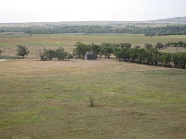
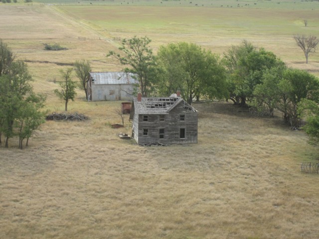
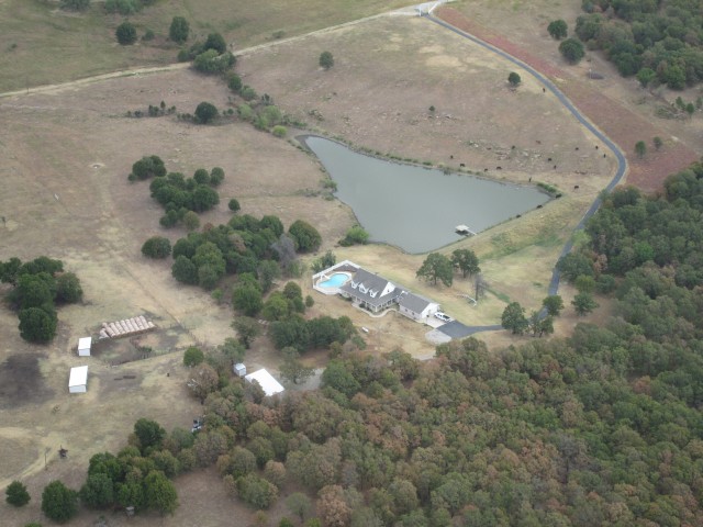
In the distance I saw an old farmhouse. It was pretty much directly under my path.
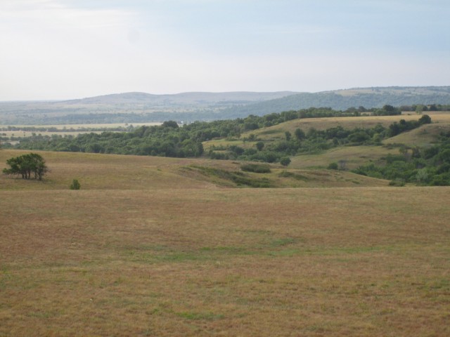
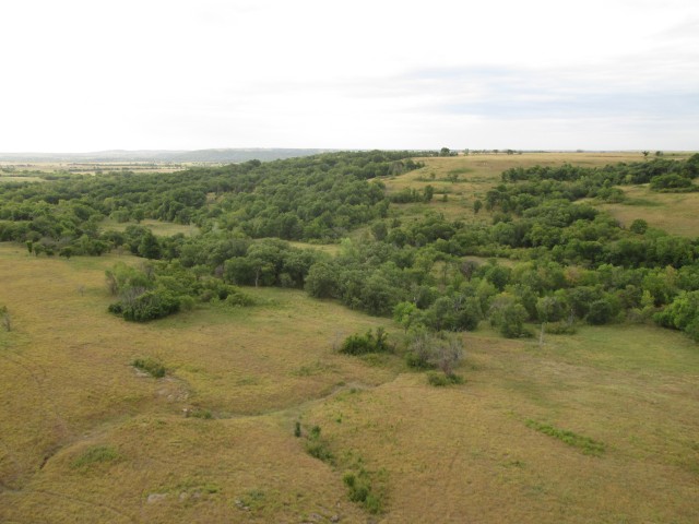
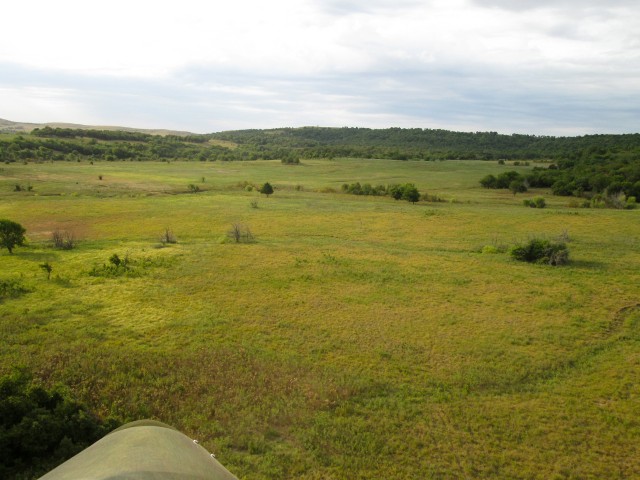
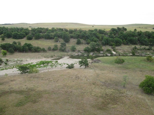
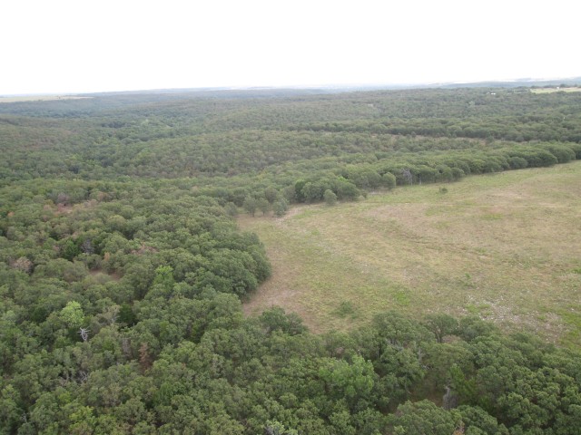
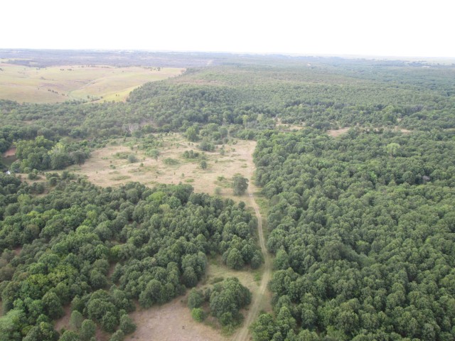
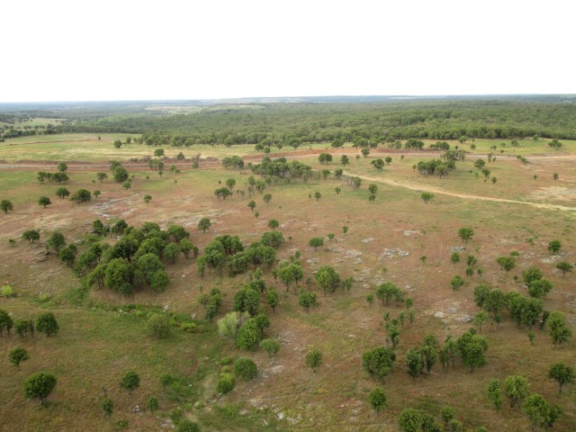
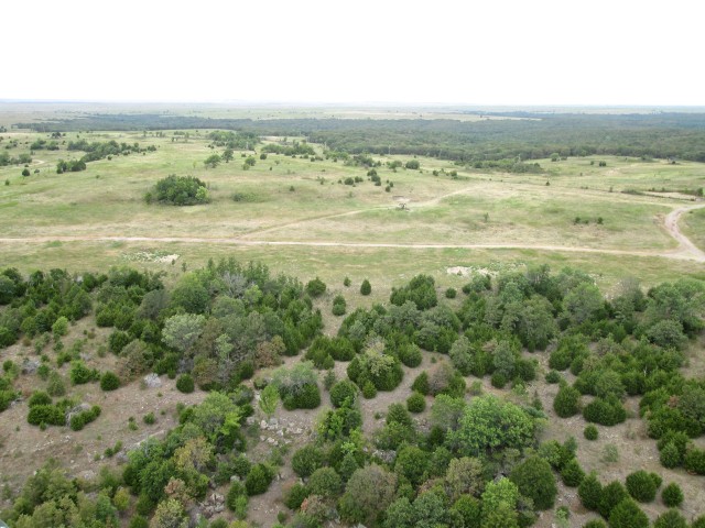
As I have explained before, it is important when flying an Ultralight powered by a 2 Stroke Motor to be on the constant lookout for landing spots. As I came closer to the Oklahoma Badlands this became more challenging. Not only were forested areas increasing but the ground surface was becoming much more rocky. At first I meandered in order to cross over meadows…
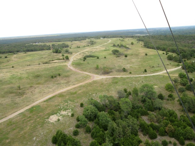
Then I stayed over any of the Pickup/4 Wheeler Trails I saw below. I figured they would be possibly smoother should I need to land in a hurry.
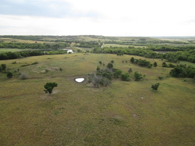
As I continued taking in the grandeur, I realized I had not seen a person or a house or a car for probably 40 minutes. On top of that, as you can see from the pictures, there weren’t any roads anyhow. You know, there weren’t even any cattle out there. This is The Great Wide Open. It was Fantastic!
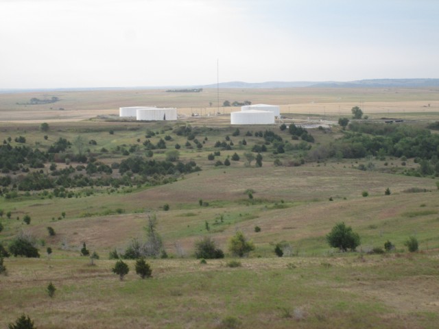
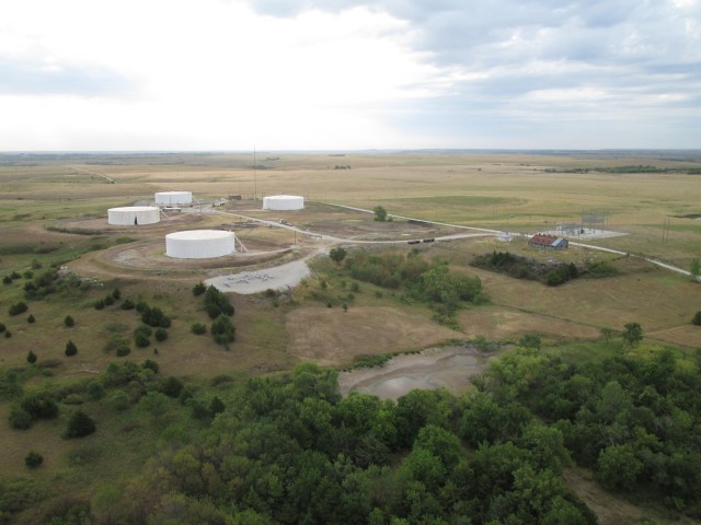
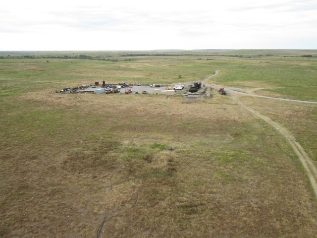
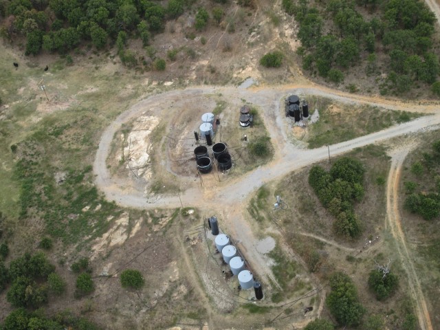
I swung a little off course to investigate the oilfield management area seen next. There was no one there and it is completely off by itself. As you can see, the roads have been made by the tires of the pickup trucks. This is out there.
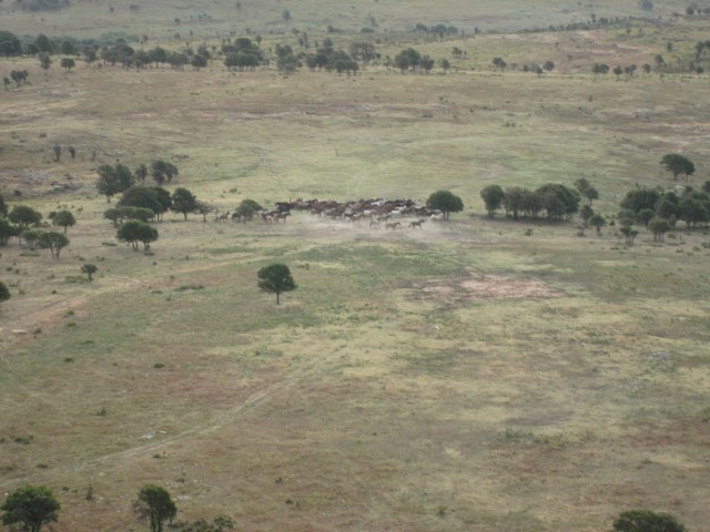
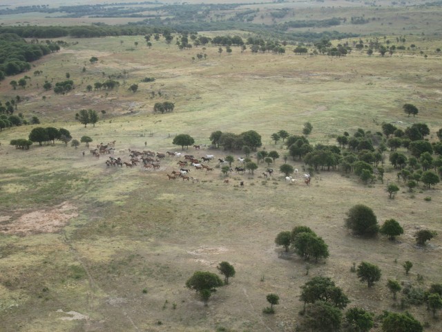
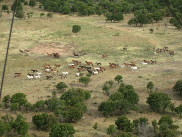
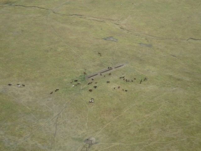
Then I popped over a ridge and saw the rising dust of a commotion ahead. Upon further examination it was a herd of wild horses – mustangs – running wild in the Bad Lands. Very picturesque even if I was the only one to see this. I took a few shots so you could witness them, too.
While viewing this, the thought occurred to me: Is something beautiful if no one is there to see it? (I know my answer to that question)
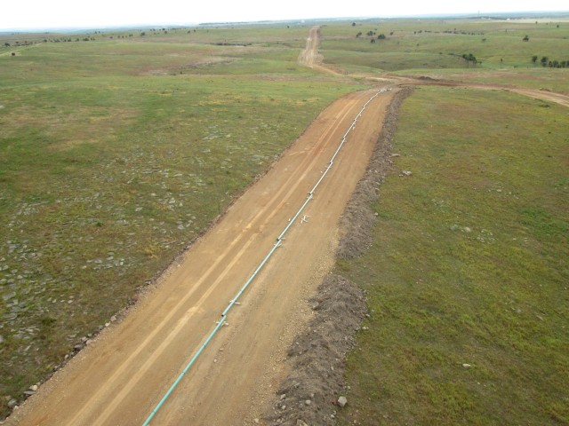
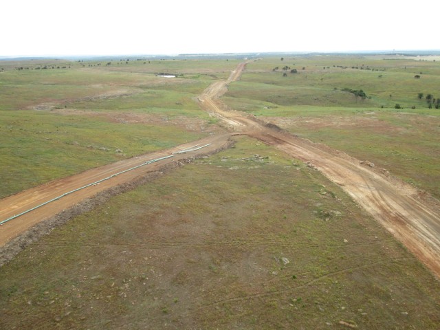
Just after leaving the mustangs I perceived Evidence of Man. At first it looked like someone was putting a road through the area but as I came closer I could see it was a pipeline being buried.
Apparently these guys don’t work on Saturdays because I still saw no one around.
Time To Check The Map
By this time I had been airborne about 2 hours and 15 minutes. By my ground speed and my compass/GPS reckoning, I figured I would be seeing Bartlesville, Oklahoma but it was nowhere in sight. Since I was just about at the end of my fuel, I wanted to make sure my GPS wasn’t sending me slightly off course as it has been known to do. I decided to drop down for a minute and look at the map to get a more accurate fix of my position.
Landing In Strange Places
Whenever I decide to purposely land out in the country my technique is to make at least 2 and as many as 4 passes over an intended landing spot to get a close look at the ground. If you examine any pictures of my MXL you can see there is very little ground clearance to the axle. The Quicksilver has no suspension either. The only “give” in the system is from the softness of the tires. I can land on a fairly bumpy grass surface but surface rocks that are other than mostly flat (like near Sedan, Kansas) must be avoided.
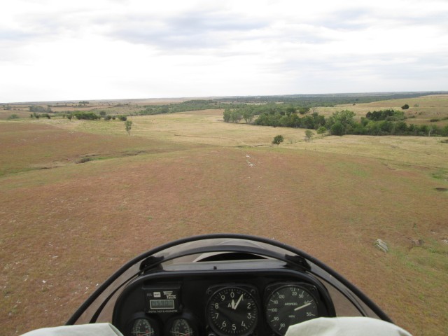
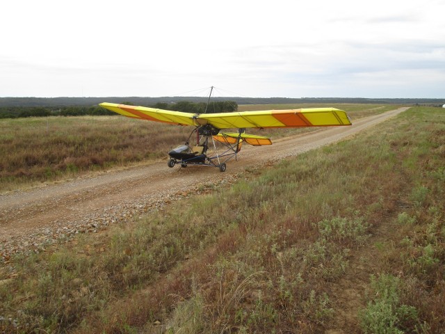
My candidate landing zone for that morning is shown below. After making 3 passes over the grass part of it I did not have high confidence there were no rocks hiding within. I decided to put ‘er down on the service road. In my flying I have always avoided landing on County Roads because they have ditches on either side and usually feature barb wire fences next to them. As low as my plane sits on the ground, these are hazards I don’t need to invite. Mowed hay fields work just fine as landing fields so that’s what I use. Since there weren’t any around here the service road looked like a good alternative.
From now on I will always use these service roads. This one was ideal.
After I landed and took the shot seen above I pulled my map out of my back pocket. I also unhooked the GPS from its cradle so I could look at its map. My cautionary landing proved to be unnecessary. Bartlesville was a scant few miles Southeast. The engine fired up after 2 pulls and I was airborne again. Within about 3 minutes of flying to the Southeast I took the picture below. If you look carefully you will see Bartlesville, Oklahoma near the horizon just right of the center of the shot. I knew Bartlesville Municipal Airport would be on my side of town so sighting it would be my next objective.
As I approached the airport I climbed to 1500′ AGL so I could get a good lay of the land and look for traffic. There was one airplane in the pattern. I kept a good eye on him. I was trying to decide if I should pass over the airport and head across the North end of town to take some pictures or whether I should land and take the pix later. Just as I entered the pattern area the decision was made for me when a thin mist of rain hit me in the face. I can fly the MXL in light rain but it is not my desire to do so. It feels like getting pummeled by hands full of BB’s thrown at medium speed. They are not going to hurt you but the fun quotient is diminished. Also, I don’t think my PowerFin Propeller is made to handle any long exposure to rain. Time to land – take pictures later.
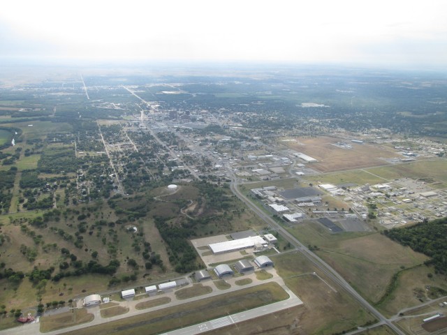
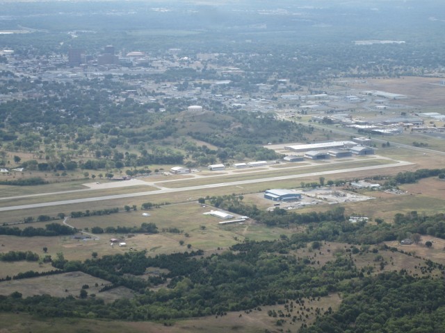
Before spiraling into the downwind leg for Runway 17, I took this shot of Bartlesville in case I would not have an opportunity to do so later in the day.
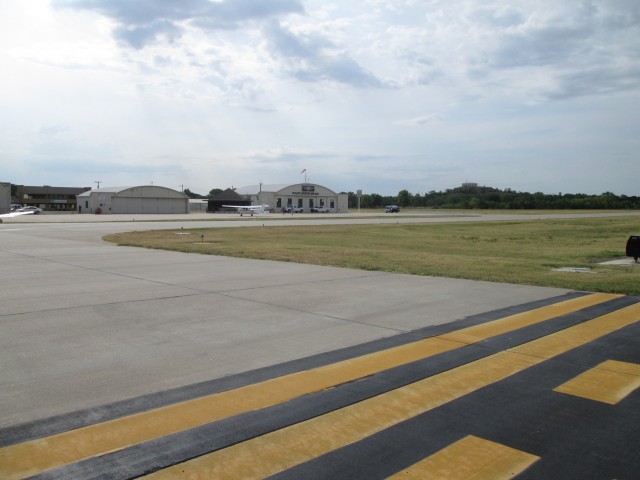
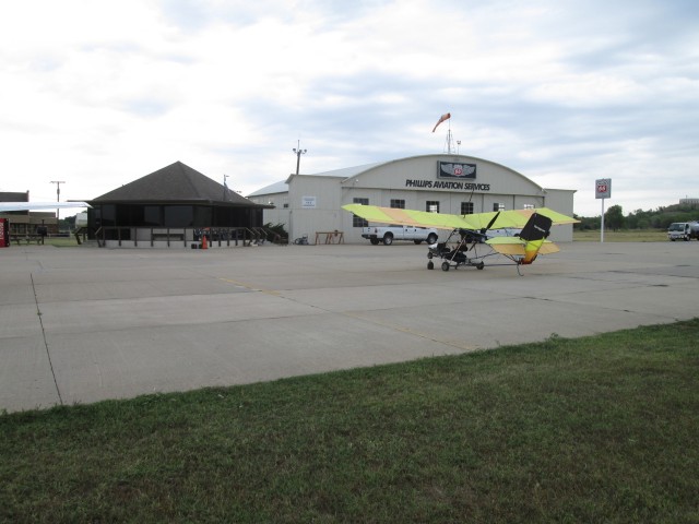
Just off the active I stopped momentarily and took this shot of just a few of the hangars at Bartlesville Muni.
The Dream Lives On
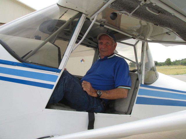
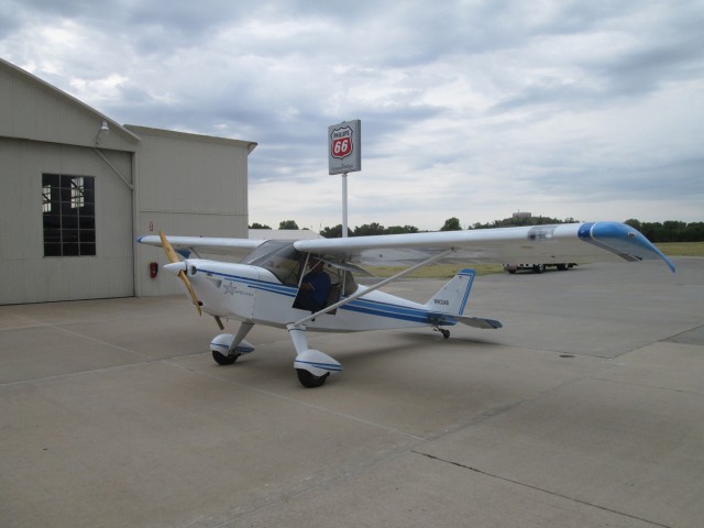
Pretty much as soon as I had killed the 503, John Akers came over and introduced himself. He was curious about the manner of flying machine in which I had arrived. He also told me his partner was up flight testing their new “build” – a new Capella.
Shortly thereafter John’s partner Joe Sigler landed and they compared notes regarding their individual test flights.
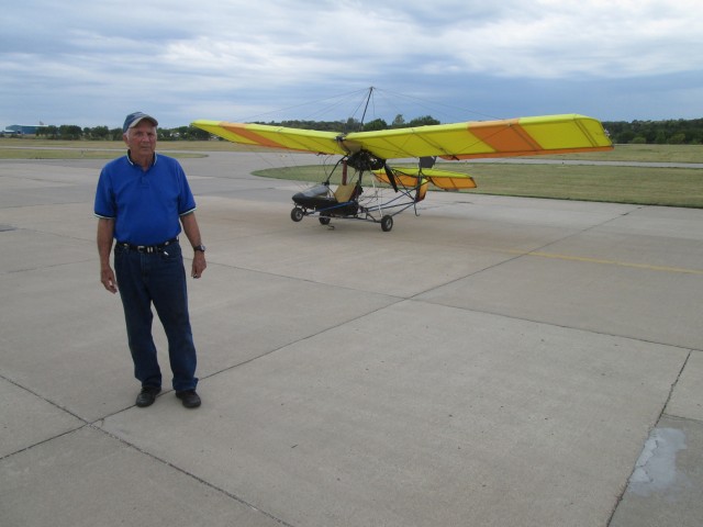
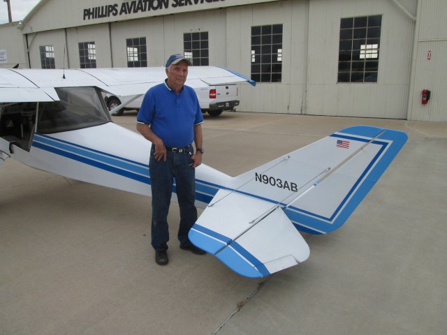
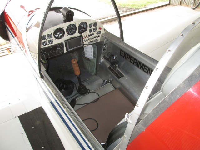
I really like the sweep of the vertical stabilizer so I asked John to pose next to it. They power it with a Jabiru 2200. This is a sweet bird.
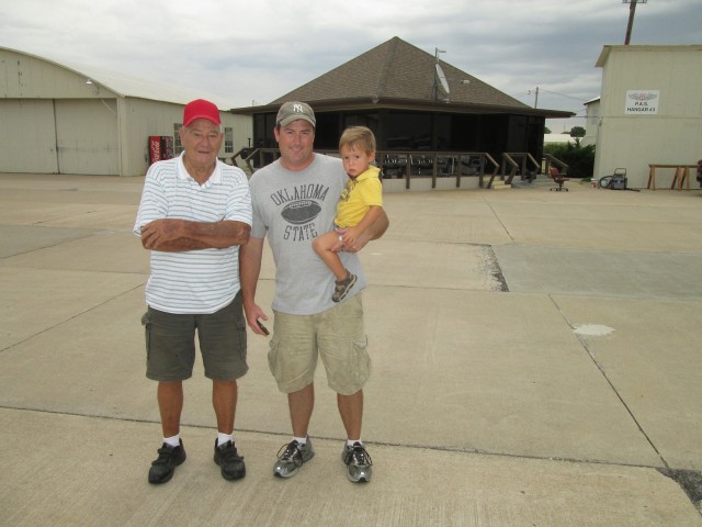
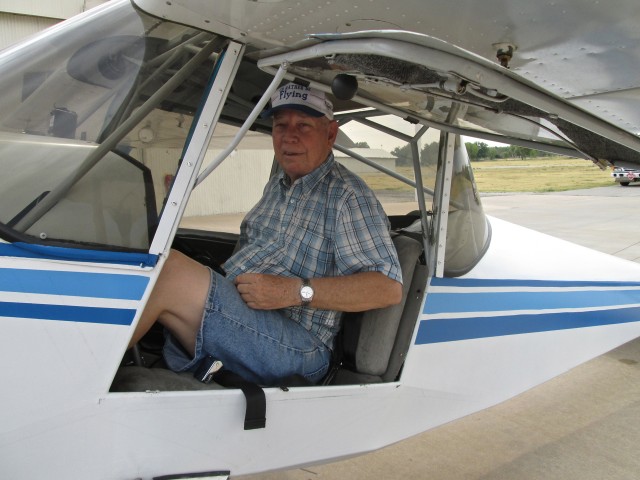
Three generations of Aviation Enthusiasts. Francis, Michael and Mason Johnston. Michael is an active flier. Mason and his Dad Francis love to go airborne with him.
If you haven’t realized it yet, I really like flying and pretty much all things Aviation. One thing that I love to see is airports with activity – not airliners moving folks from Point A to Point B – but citizen fliers who love the Free Air of America. Bartlesville Municipal is such a place. Guys like to come out to the airport to fly their planes or to watch other people fly or to learn how to become a pilot. I definitely got the sense that The Dream Is Alive at Bartlesville. People there appreciate the Freedom of Flight and dedicate their time and resources to take part in it. I felt right at home.
I also met Rick Herrmann. He is a CFI (Certified Flight Instructor) and was flying the pattern with a student when I approached from the Northwest. After finishing his lesson he came over to get a closer look at my flying machine.
Although I neglected to get pictures of him, I also met a guy who was excited to just have received his Pilot License the day before. Another guy was out getting information about becoming a pilot and he was curious about my Quicksilver. This is the kind of thing I like to see.
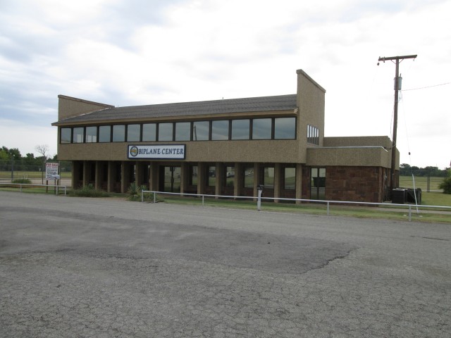
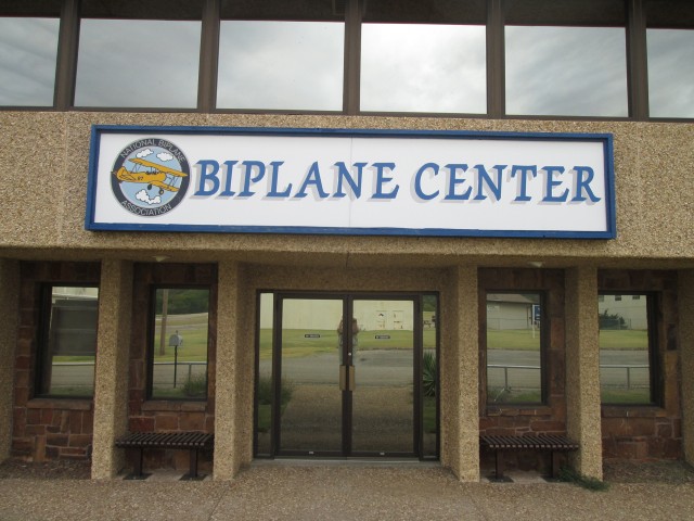
Behind the row of hangars I spied a building with the sign “BIPLANE CENTER” on it. For years Bartlesville was the home of the annual BiPlane Fly-In. The final event at Bartlesville was in 2009. Now called The National Bi-Plane Fly-In, it has been resurrected annually at Freeman Field in Junction City, Kansas under the leadership of Businessman, Aviation Enthusiast and Waco Owner Jim Clark.
While I was meeting all the guys at what is better known locally as Frank Phillips Field, I was monitoring some rain squalls and potential storms to the Southwest. I had not yet fueled up but Alan Parker, the man on duty, told me he would bring the truck up to my plane as soon as I was ready.
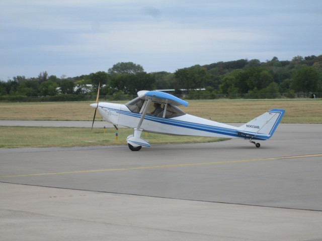
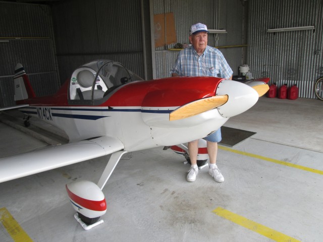
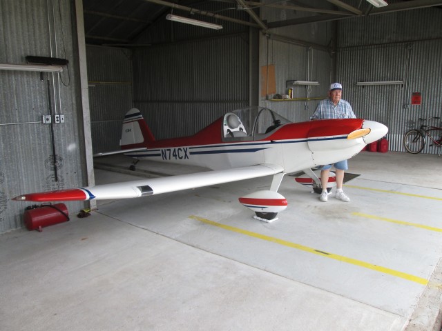
While I am mulling the weather over, Joe Sigler wanders over and says “Hey, you want to see another plane I have?”. Well, that’s a question that answers itself. I immediately forgot the weather issue and followed him over to his hangar to see the beauty portrayed below. Called a Thatcher CX-4, it is powered by a VW conversion and cruises easily over 100 mph. Later Joe took it out and flew around the area. It had a real authoritative sound and maneuvered in a very snappy manner. Joe says it is a lot of fun to fly.
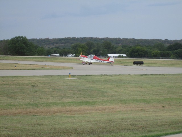
After he showed it to me in the hangar, Joe fired up the CX-4 and went around the patch a bit. I took some other shots of it in the air but the telephoto lens of my little pocket cam unfortunately did not produce good enough shots for me to include in this report. Below, though, you can see Joe taxiing out to the active.
I told Joe I would wait around until he wrung the Thatcher out. During that time I met a few more guys coming out to the field on a Saturday morning. After a little bit, Joe landed, taxied in and buttoned up his plane. Then he walked over to where I was getting ready to take off. Alan Parker had already gassed up my plane and I had mixed in my 2 Stroke Oil. About the time I was getting ready to put in my earplugs and shake hands “goodbye”, it started raining. It wasn’t steady and it wasn’t even very much but it was definitely coming down. Once again – Decision Time. Alan pulled up a Satellite Map on his iPhone and we could see that, what rain there was, was mostly passing South of town. If I jumped in the plane I could skirt the sprinkles to the North and then be out of it. I was considering that option when Joe Sigler showed himself to be not only an Aviator but a Gracious Host. He suggested we could go eat lunch and wait for the weather to pass over. Alan Parker said they would be happy to open the hangar and let me put my MXL in there out of the rain, too.
Sidebar: In my life I have always been “goal driven”. I have a history of getting stuck in a “mission mentality mode”. It is the human equivalent of putting blinders on a horse. The tendency is to view delays and obstacles (like rain) as problems to be overcome with hustle, intensity and willpower. This tendency works great when a pillbox needs to be destroyed or people must be rescued from a fire but most of the time it gets in the way of common sense. The good news is that over the last 10 years or so I have (mostly) conquered this character trait.
After about 30 seconds of “internal brain wrestling” I came to the obvious conclusion. We slid my plane into the hangar, I jumped in Joe’s tricked-out Ford Pickup and we went into Bartlesville to grab a bite.
Joe again proved himself the excellent host by insisting on buying lunch. We talked about airplanes and a little about politics and by the time we were done the rain had passed by.
I learned that Joe had retired from a career as a Cartographer – first for the Army and then for Phillips 66. He had been in the business long enough to see great strides made as digital photography, satellites and computers have revolutionized the making of maps. I learned a bit about how aerial photos are normalized for the mapping process and synchronized to specific known datums on the surface of the earth. I find all that very interesting.
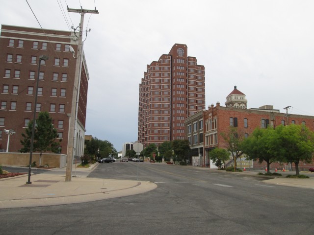
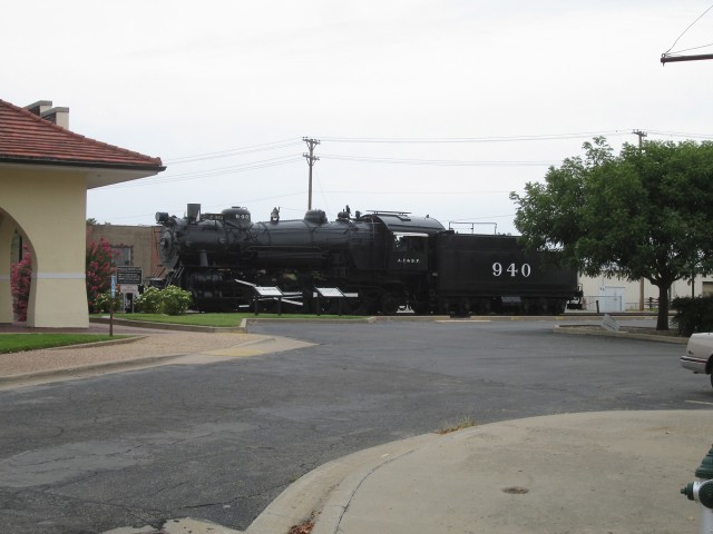
As we drove back to the airport I asked Joe to stop a couple of times so I could take some pictures in Bartlesville.
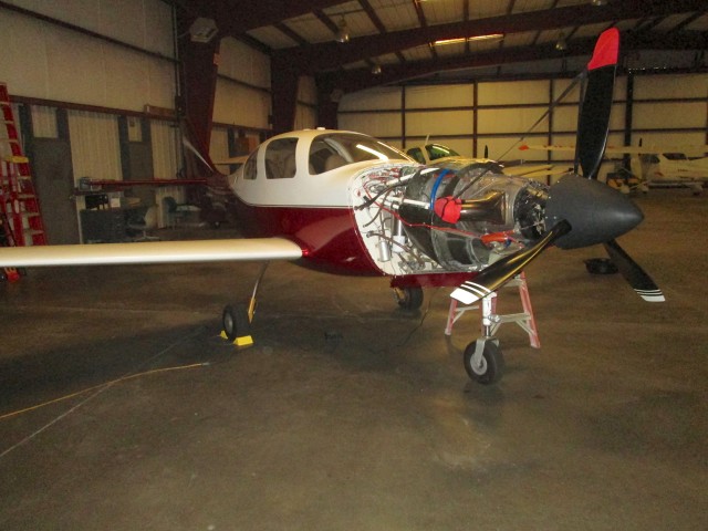
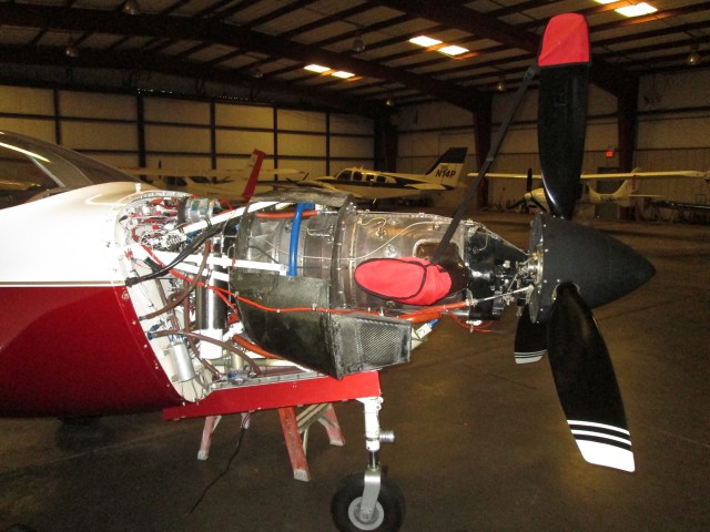
When we returned to the airport a helicopter landed at the South end of the field. Alan Parker and his assistant drove the fuel truck up there to service the copter. While they were doing that, Joe wanted me to see the Turbine Powered Lancair parked in one of the hangars.
After that we got my MXL out of the hangar because Alan was still busy with the helicopter. Joe had to get on to other things so we said goodbye. I told him to call me if/when he heads up to Jabara Airfield near my home and I that will call him next time I make it to Bartlesville. I paid my gas bill, said ‘bye to Alan and climbed into the sky.
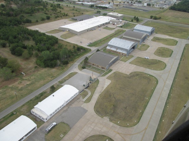
I also shot this view of the Southern end of the flight line. Unfortunately the helicopter had since departed.
Plan The Work and Then Work The Plan
As soon as I climbed to pattern altitude a supposition of my flight plan proved fruitful. Leaving early in the morning as I did and flying “under” the headwind was to include the “payoff” of getting a tailwind back to Wichita. In this regard I struck the jackpot. It was a little rough at times but I had a 10 to 15 mph tailwind pushing me across the ground all the way home. I tested it at altitudes from 300′ to 1,500′ and it was the same across the spectrum. That being the case I tended to stay down around 300′ for the journey.
Tartans Spread Upon The Ground
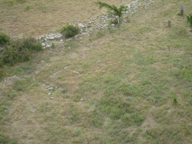
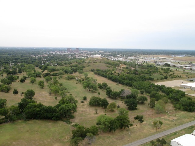
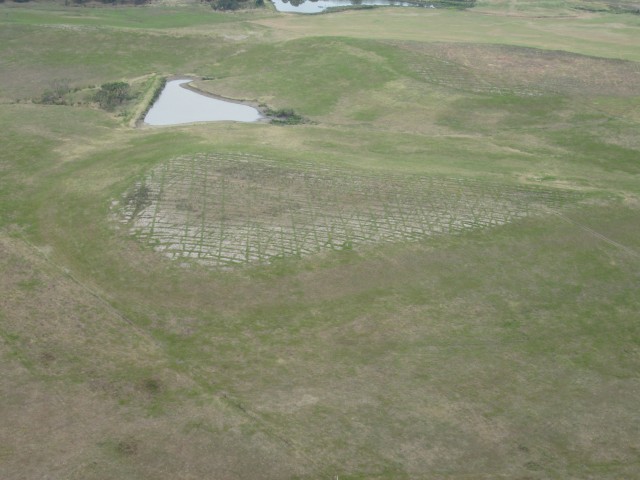
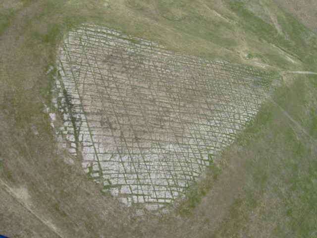
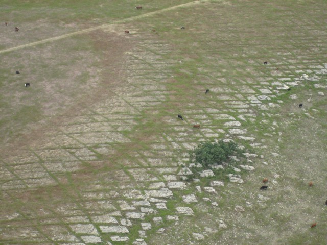
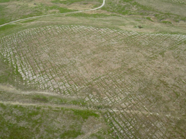
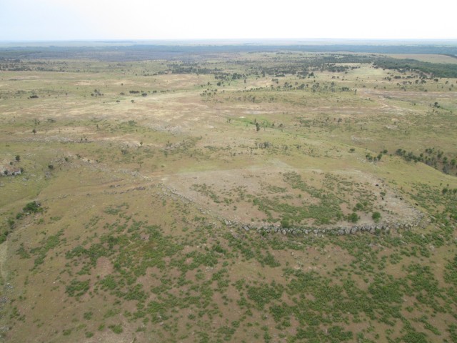
About 5 miles Northwest of Frank Phillips Field I saw these striking, dramatic patterns of rock interwoven with grass. There are quite a few of them out that way. I can’t remember having ever seen anything like them before. From the air it appears that a huge stone set at the surface has been fractured over time by exposure to cycles of hot and cold. It is interesting that the fractures are very evenly spaced and mostly parallel. They give me the impression of Scottish Tartans. Having been to Ireland almost 30 years ago, I would not be surprised if this same geological phenomenon exists there also. I did not see Ireland much from the air but they have very rocky soil. Maybe this type of formation is the inspiration for the cloth weavings the people of Ireland and Scotland are known for…
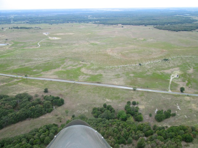
After about 10 minutes flying over these marvels of geology, I passed into the Bad Lands again. There is a mitigating circumstance to this area, though. Even though it is not fruitful for agriculture and is a bit too rough for cattle ranching, God has provided riches below the surface for those willing and able to seek it out.
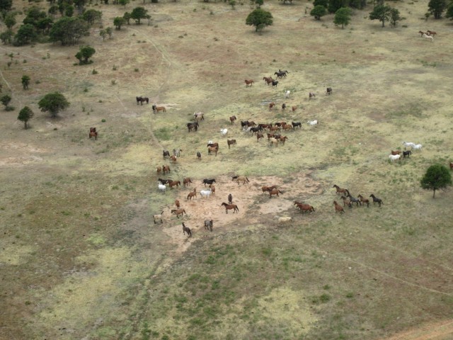
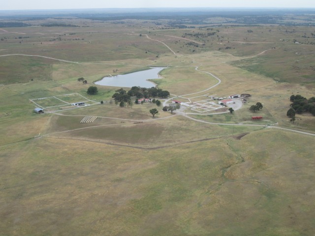
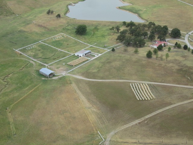
On the way back I took a more Northerly route. In doing this I saw a different part of the Mustang Run. The next few shots will give you an aerial view of the layout of one of the vendors in charge of feeding these “wild” animals.
After that the countryside became rather inhospitable again.
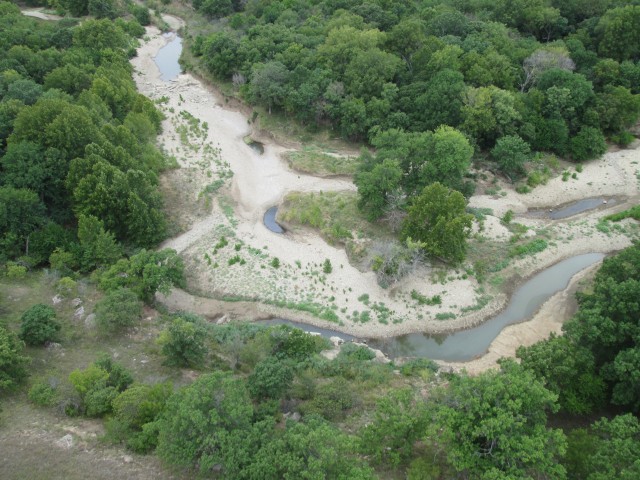
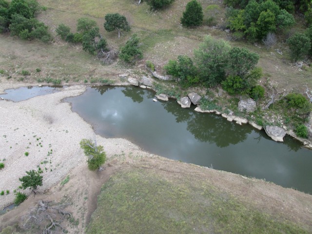
I always find creeks and rivers attractive to behold from above. This one is seen from about 700′ AGL.
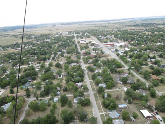
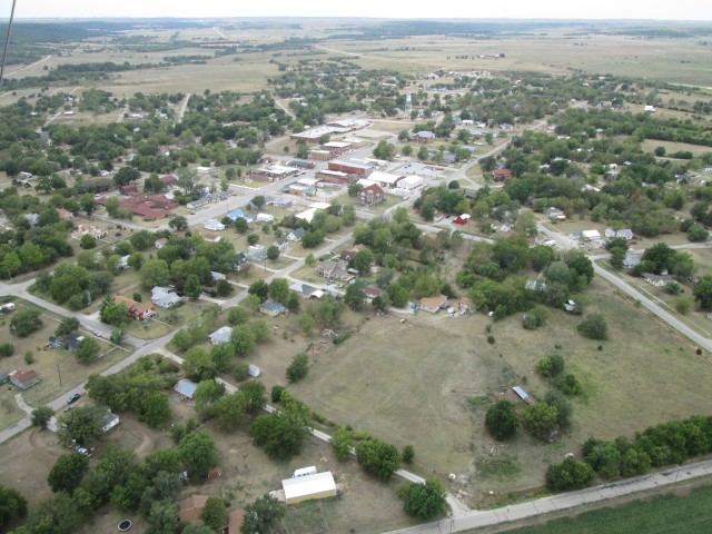
I had seen this town on the trip up earlier this morning but my path then was quite a bit to the South. On my trip home from Bartlesville I decided to stop first at Douglass, Kansas – Lawrence Alley’s airfield – to see if he was around. This more Northerly bearing put me closer to Cedar Vale, Kansas so I decided to drop down to about 150′ AGL and pass around the town to the North. Cedar Vale looks like a nice place. I really wish they had an airport. I think next season I’ll just circle around until I find a suitable field or road and drop in anyway.
Tailwinds Are A Joy!
After passing Cedar Vale I continued Northwest showing about 65 mph ground speed on the GPS. It is really fun to get a tailwind like this. I don’t know a lot about sailing but I think when you have a strong wind at the stern they call it “Riding The Wind”. Anyway, that’s what it feels like. You can feel the wind gusts push you forward in surges. Since the MXL has such a large rudder, wind gusts will also swing the plane a bit on the yaw axis so you have to constantly work the pedals. Also, a good tailwind definitely impacts fuel use in a positive manner.
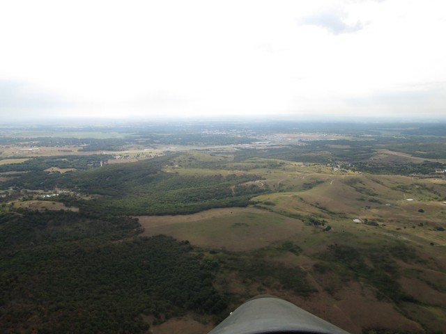
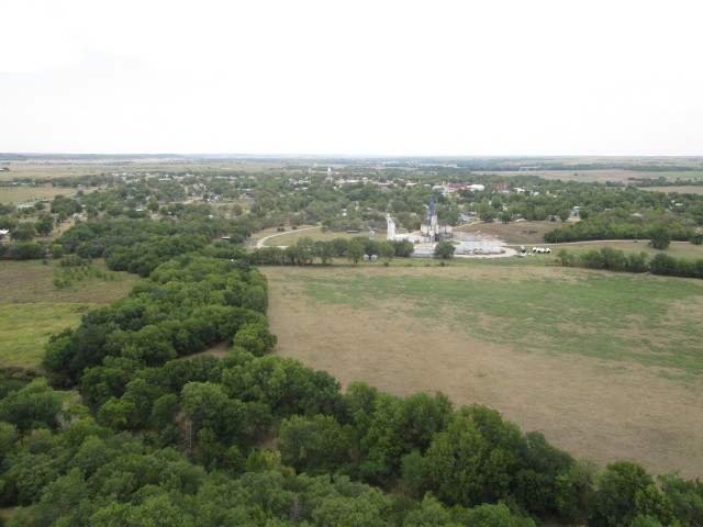
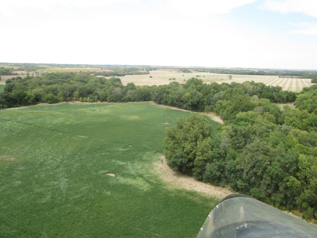
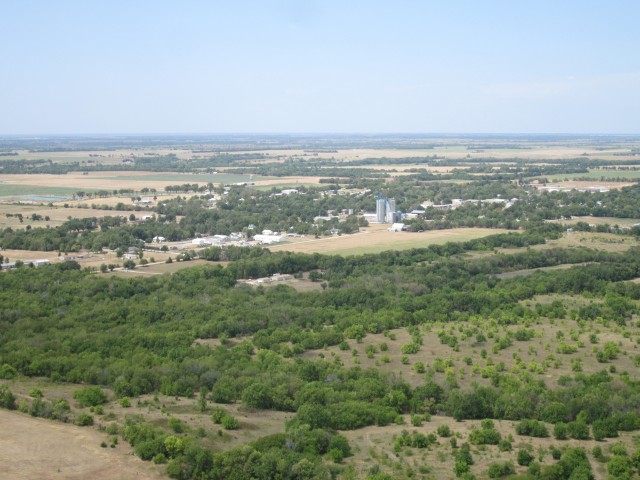
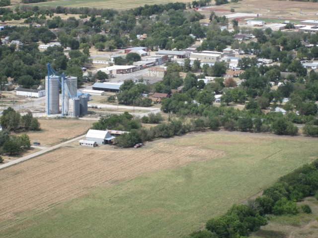
Passing Cedar Vale meant I was definitely back over Kansas. From the photo below you can see this area, while forested, is more “agricultural” than the area of Oklahoma I had just passed through.
Soon I saw Burden, Kansas a little to the West of my flight path. I decided to drift over there and take some pictures.
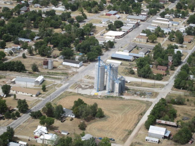
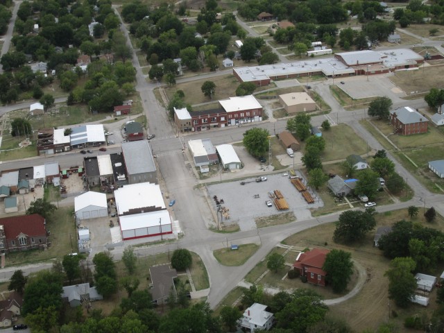
Downtown Burden, Kansas
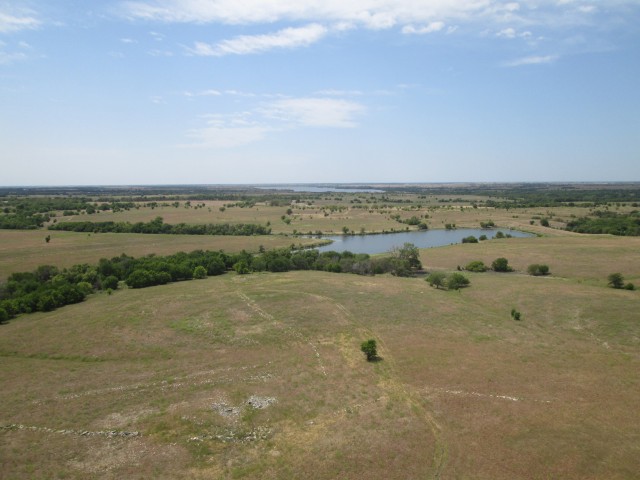
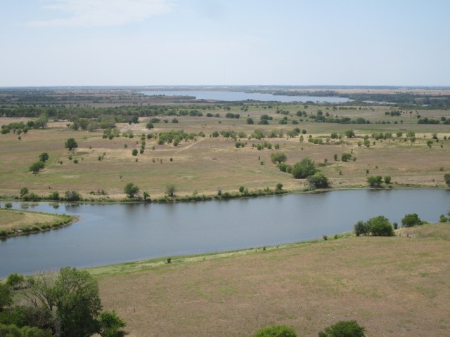
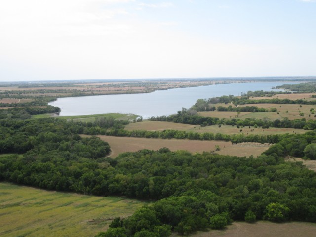
As I continued my journey I spied two lakes in the distance to my West. I waited until my travel path lined them up and took the photo below. The farthest one is called Timber Creek Lake. It is private but the family allows hunting and fishing there.
Since I had departed from my flight path to Douglass, Kansas, a little past the Timber Creek Lake I saw Rock, Kansas on my left. Having flown this area frequently I recognized where I was and turned North to track Highway 77 into Douglass.
Alley Field
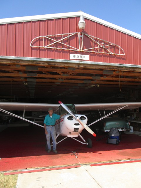
When I am just “flying around the neighborhood”, one of my favorite stops is Alley Field which is owned and maintained by Pilot and Raconteur Lawrence Alley. Lawrence has been retired for some time and generally can be found around the field if he is not out flying somewhere himself or in town on errands. Thus far this flying season, though, I had circled the field on no less than 8 previous occasions and had not seen him or Marty or Joe hanging out. Most of those flyovers were on very hot days and since I didn’t see anyone around I did not land. Today it was pretty turbulent as I entered the pattern. My idea was to make a pass at about 100′ AGL from the North and see if anything was shakin’. If not, I would continue home. As good timing would have it, both Lawrence and Marty heard me and came out of the hangar to wave. With that verification, I swung back around in the left pattern and landed.
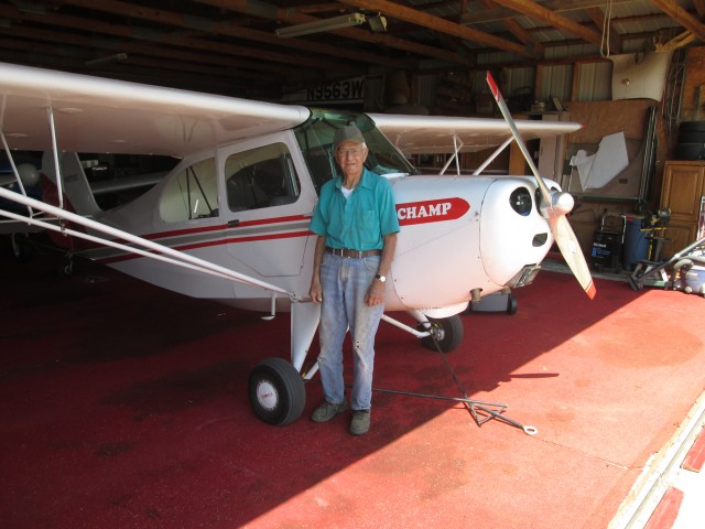
Since I hadn’t seen Lawrence for number of months he brought me up to speed on his goings on. Last fall he had sold the J-3 he had owned for some time and acquired the 1946 Aeronca Champ you see below which he owns with his son Terry.
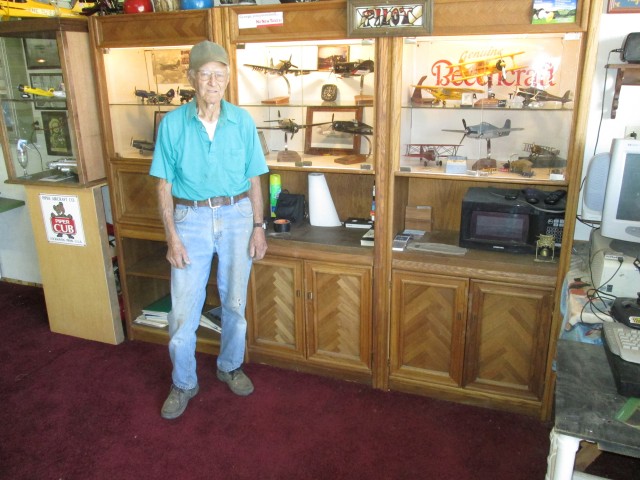
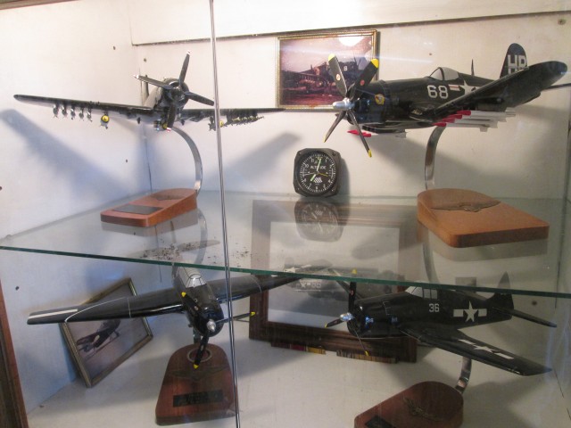
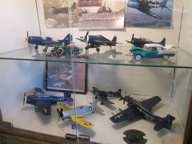
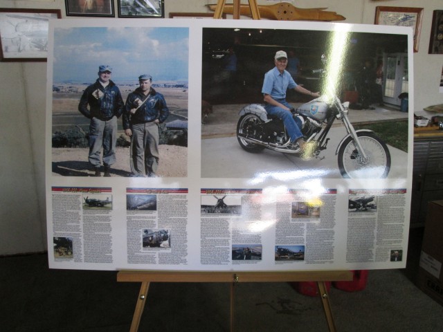
Lawrence flew for the US Marines a while back. Since my last trip to Alley Field he had completed a showcase for some of the airplane and car models he has made.
“Back in the day”, I believe he had flown the full size version of every model shown in these pictures.
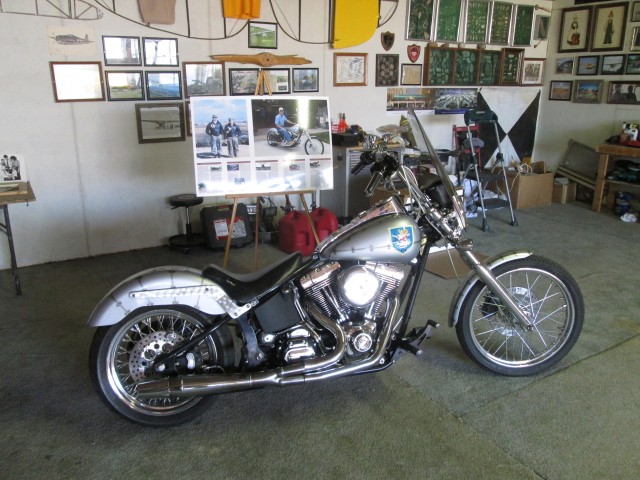
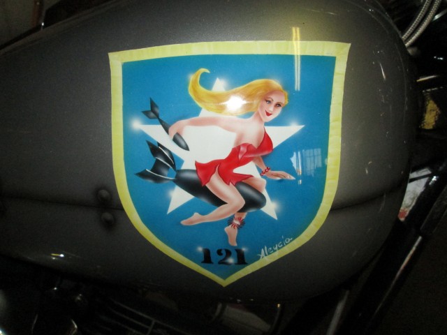
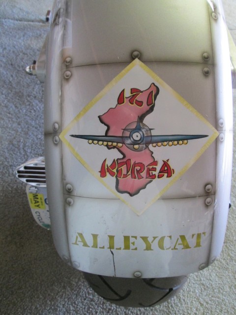
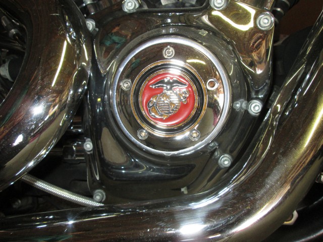
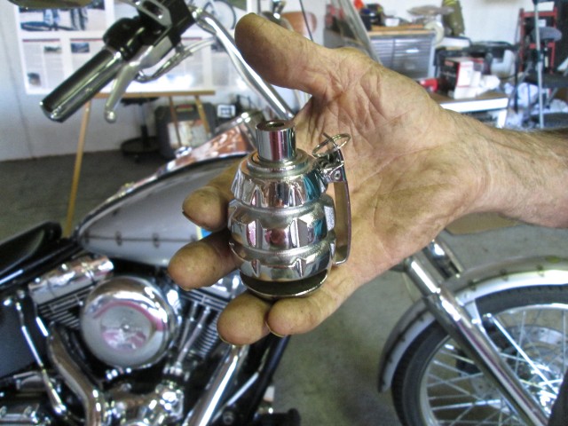
Also a very interesting addition to the hangar is the Tribute Harley shown below built by Joe Freed. Joe’s home is adjacent to Alley Field and he keeps his pristine C-140 in one of the Alley hangars. Joe had this Harley customized to show elements of Lawrence’s career as a Marine Aviator.
It was mid afternoon. After spending some time with Lawrence Alley, I decided it was time to wrap up the day’s adventure. Alley Field is on a significant grade. It slopes down rapidly from the North to the South. With the wind out of the Southeast and heading down the hill I was airborne in mere yards. As I left the area I snapped the shot below over my right shoulder. You can see the “disk” of my fast spinning propeller. In the middle of the shot is the Douglass water tower and the two hangars of Alley Field.
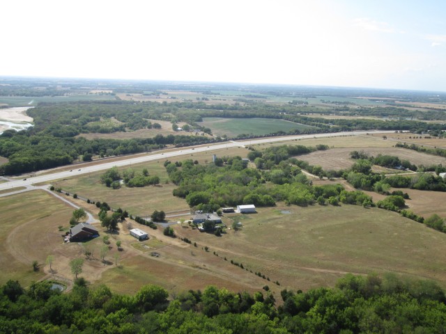
As I crossed the South end of Derby, Kansas I saw a train parallel to Highway K-15 making its way South.
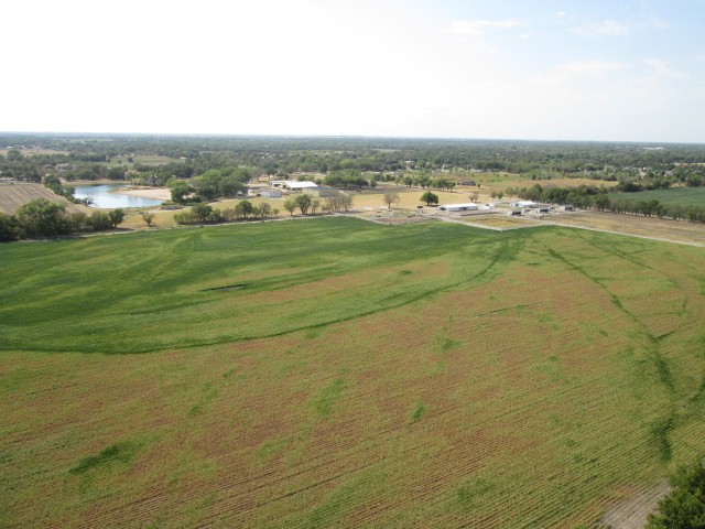
Upon entering the downwind leg of the pattern at Selby Aerodrome I took this picture. You can see my hangar with its yellow walls on the far side of the landing field.
After flying most of the day under 100% overcast, the sun was out and the sky was clear. Because I had the tailwind pushing me all the way back from Bartlesville, I had plenty of fuel remaining in my tank. I made four circuits of the pattern making what amounted to a slow, gentle, 1440 degree, spiral landing. On one of the downwind legs I tried the telephoto of my little pocket cam. It usually doesn’t work on shots like this but I wanted to show you the Wichita skyline as seen from my airport. Since the atmosphere was clear, the picture turned out pretty good.
Thus ended the longest-distance, round-trip flight to date for The Sky Surfer. It was a great day and I was gratified to see so many “Living The Dream” of sport aviation.
See you soon…
Blue Skies & Tailwinds!™
Brian FitzGerald
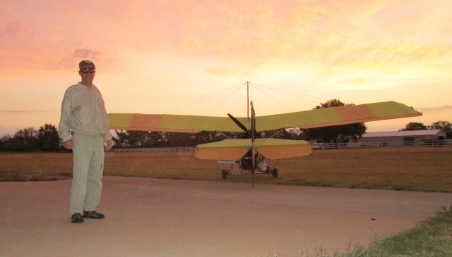
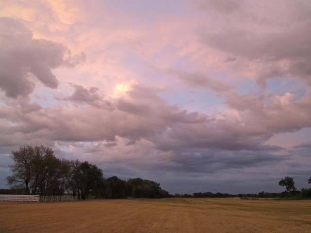



BRIAN: Thanks much for sending me the Bartlesville pictures and narrative. Very nice work! I am embarrassed to admit that you saw more of my local area in one low/ slow flight than I’ve seen in nearly two decades of 172 aviating above my hometown. I need to reconsider how and why I fly. Again, from one storyteller to another, very nice work, Brian.
Thanks, Rick!
I appreciate the comments and I look forward to seeing you post some pix and/or stories on Sky Surfing soon!
Excellent blog, Brian. I enjoyed it very much. Re: the squared geological formation that you
saw resembles one here in the Mounds, OK area which we call “checkerboard” formation. What
saw appears to be larger squares than the checkerboard though. You might google that on
the internet and see what it says. Bill C.
It is a fine and wonderful thing to hear such a nice compliment from one of the Early Ultralight Aviators of the Green Country UFO! You guys were in my first movie “A Beginner’s Guide to Ultralight Flying”.
I do believe I like flying ultralights more all the time.
I hope you are getting airborne these days.
Let the guys in the Green Country in on the Sky Surfing Flight Blog.
I still have one of your old GCUFO mailers on my wall!
Is your group still out singing?
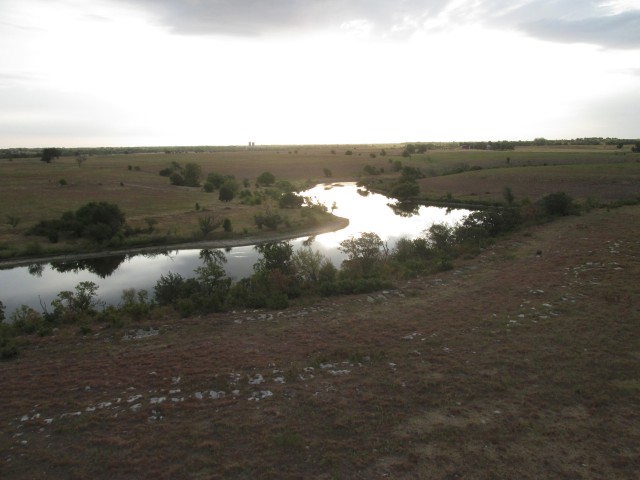
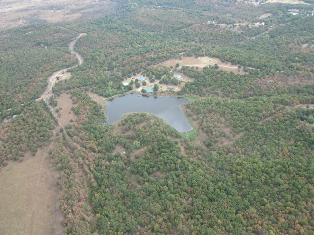
Brian, I always like your ‘trips’ and your story to go with. On this one, the first thing that caught a camera persons eye was the shot of the mottled sun in the still of the pond. Cool…
I’m glad you liked that one, Bob.
Any chance we will see any of your stuff from Oshkosh soon?
Hey Brian…
How are you doing? That was a great bunch of photos of your trip over KS… herds of mustangs… I think the coyote was lower right of center(?) Way cool!~
Have you received the CD yet?
Talk soon…
-Bruce Pressley
Thanks, man, about The Flight Blog.
I got the CD and have had a chance to listen to about 2/3 of it so far.
Bitchin’! You guys are solid. Mick Martin plays the harp better than anyone I have ever heard. No lie. You are more solid than ever. Your snare sounds like you are hitting a mahogany plank with a sledge. The guitarplayer is excellent. He mixes up the solos so that each 12 bar tune sounds fresh. The bass player sticks with you like glue.
I think it is a Sacramento sound because it reminds me of stuff we used to play. I do remember, though, that you guys would always complain when I suggested we play some blues or a shuffle. At that time it was beneath you funky dogs…
Brian:
Still catching up on Sky Surfing reading. The Bartlesville trip is a good one. One of the things that make your narratives interesting is the inclusion of the people you meet. Great stuff.
Don
Thanks, Don!
I appreciate your comments and will endeavor to continue in like manner. Last Saturday was a great day at Moler’s Fly-In. I will be writing that up as soon as I can.
My next big trip is planned for Cottonwood Falls, Kansas. As we approach Winter, this will be weather dependent, though.
I’m looking forward to your next story. A number of guys liked your coverage of the fires in your area this Summer. Keep up the good work.