Winter Wichita Encirclement
It was a Saturday and South Central Kansas had had some unseasonably warm weather for about 2 days so I took the opportunity to grab some air. It would have been even better if I would have gone up on Friday because the ambient air was 10º higher that day than Saturday but I had work to finish. So I put it off a day and was surprised the temperature had dropped that much over night but I decided it was still tolerable. Having had the experience of being under dressed in my ultralight before I put on my full cold suit including long underwear. It was overkill for sure but I’d much rather be hot than cold.
Since I had recently bought and installed a new GPS I thought it would be neat to use it in a photo and that’s what you see above. The turnpike was not too busy. In the GPS you can see I am doing 42.5 mph ground speed, climbing 290 feet per minute and am on a 287º heading.
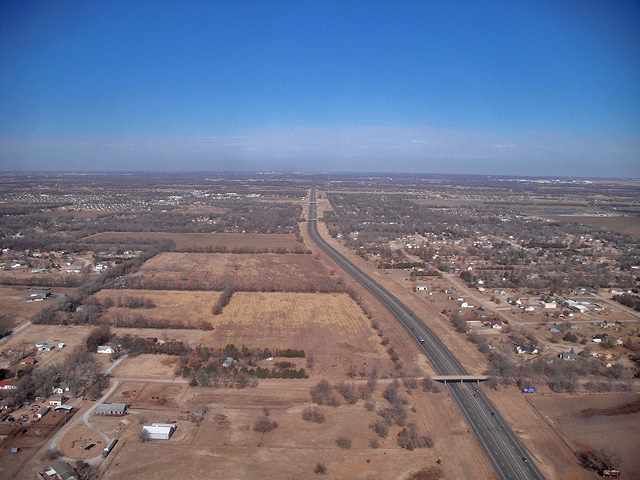
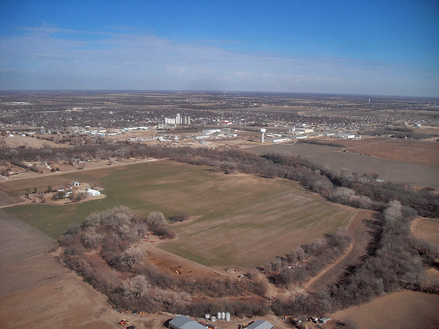
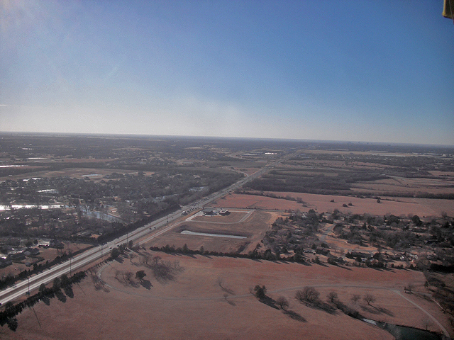
Right after shooting the GPS picture above I snapped this off. I shoot everything with this pocket camera at the full wide lens. As such it tends to diminish objects at a distance. To the eye the city is much more noticeable but, if you look closely at the end of the “grey brick road” you will see the Wichita Skyline. I was at 600′.
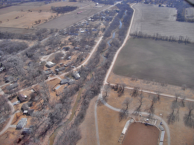
As I headed to my “outside marker” I noticed this little “rivulet” I had not seen before although I have crossed over it many times. Toward the top of the shot, which would be North, it is frozen over.
Ever since I can remember I have enjoyed reading the exploits of the Fighter Pilots of WWI and WWII. In WWII, P-47’s and others were given free reign on return from fighter cover missions and such to take out targets of opportunity. As our military began it’s march toward Berlin the target of choice was the train. It must have been a horrifically bad place to be riding in a train that suddenly had the lead rain of 8 – 50 caliber machine guns falling upon it. Anyway, when I see a train close as this one I consider it “bagged” and write it in my log book. I usually require the engineer to wave at me in order to qualify but in this case I did not want to dive down and back up to altitude so I could conserve fuel for the Wichita Encirclement.
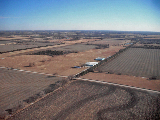
It’s not showing up all that great but in the center of this shot you see a 300′ antenna I use for orientation. When returning to Selby Aerodrome from the West close to dusk, it can be hard to find the field. A couple years ago I noticed that this antenna is directly West of the field so now I have a great means of going directly to the runway.
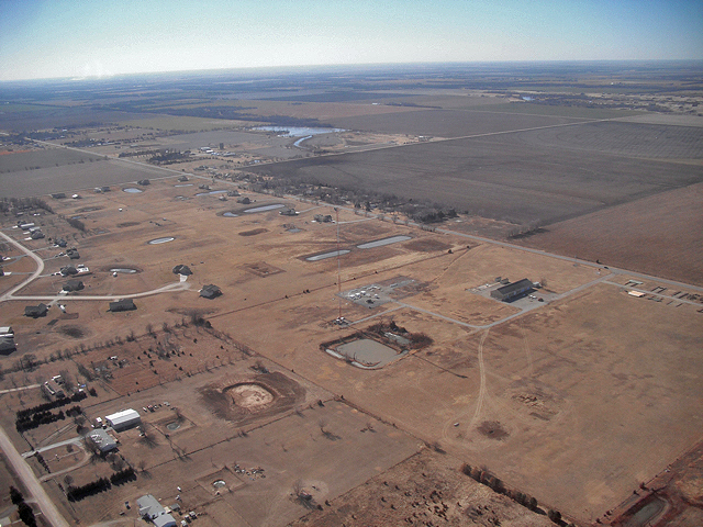
I spoke earlier of heading to my “marker”. This day my “plan of flight” (I don’t file a flight plan) was to go to High Point by traveling around Wichita to the West and then leave there and return to Selby Field by the Easterly route. As an ultralight I cannot pass over a “congested area” and Wichita qualifies as that. (Even if I was allowed to fly over the city I would not do it because 2 stroke motors have a tendency to quit at inopportune moments). Although I can call TRACON and get permission to fly up “The Big Ditch” (see post of 30 Oct 10), I decided to fly around Mid-Continent to the West. When doing this, in order to stay out of the Mid-Continent air traffic zone I have identified some markers along the way. My SouthWest marker is the antenna you can see just past the airfield in the center of the photo. If I make a gentle arc getting to this point from Selby and then continue that arc as I head north, I will stay 5 miles away from the Mid-Continent runway. Rucker Field, which is shown above is also the home of Steve Quick’s Fairchild. As I was approaching the field he was taking off to the South. I took a shot of him with the pocket cam but it did not turn out good enough for publication…
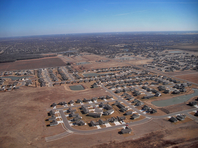
My wife, our two children and I have always lived on the East Side of Wichita. The city has grown in both directions but one thing I have noticed about the West Side is its lack of neighborhood trees. That’s the purpose of this shot. Nice houses but no trees…
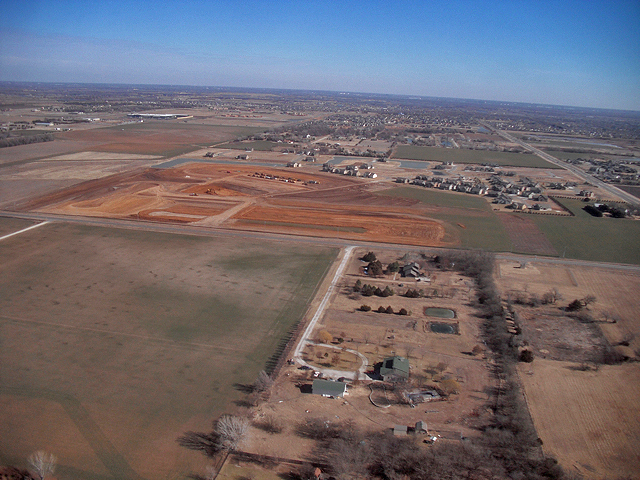
Again on the West Side, we see evidence of another housing development. You can see the preliminary stage taking place here.
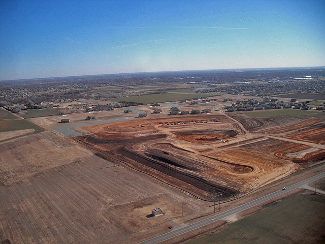
This is an interesting housing development. There are a lot of sand and rock quarries out on this side of town. As best as I can figure, a developer used this played-out quarry as a lake and put some houses on it. They have a neat little island at the West end of those long water strips seen at the upper end of the development.
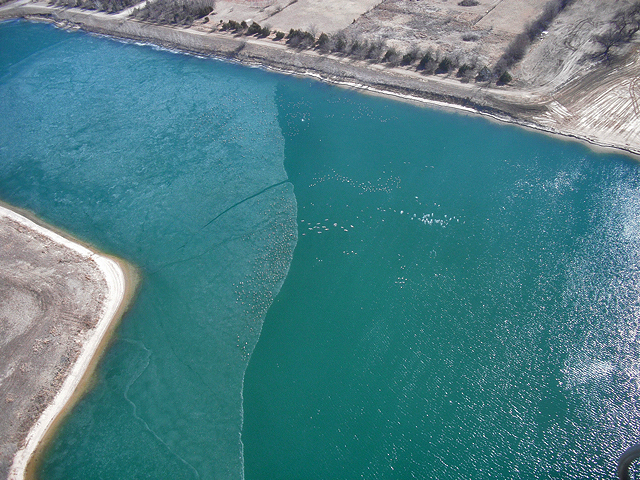
I’m always glad to see the geese down on the ice rather than coming up to get in my path.
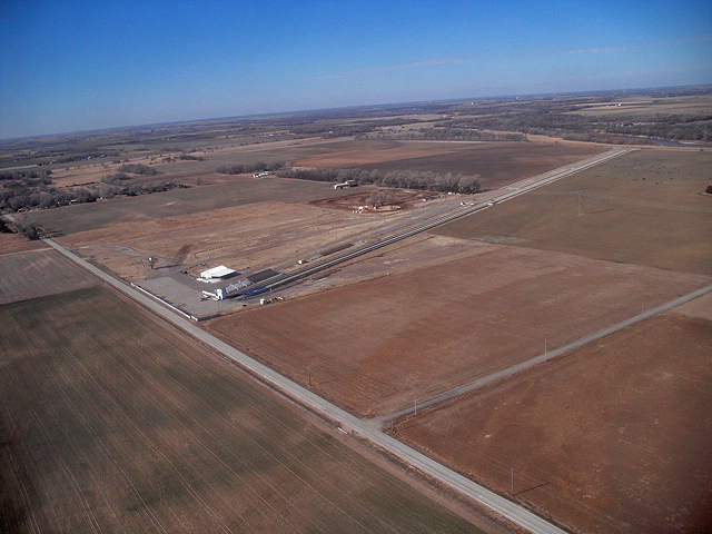
As I continued North I saw the Wichita International Raceway drag strip. I found out when locating the website for it that it is no longer active. You can see the details if you follow the link.
High Point Airpark has been enveloped by the city of Valley Center, Kansas. So, I pass by it on the way. Valley Center is the home of LifePoint Church where Bobby Massey preaches. He is an excellent prophet of the Word of God and I highly recommend him and the church he pastors.
All I can figure with regard to Valley Center is that there must be a slight declination here on the Plains that qualified it in someone’s 19th century mind to be a valley. To those otherwise not informed of the Great Plains mindset, this would otherwise appear to be flat ground… A great place to live regardless.
While entering the downwind leg to land at High Point I saw a helicopter in the area. It wasn’t as hard to see by eye as it is in this photo but if you use the middle flying wire as a guage, the copter is just to the right and above of the church. It is over that large field in the middle of the shot. The only reason I tried to get a picture of it is that I thought it might be my buddy Captain Doug Moler. He was taking some dual instruction in a helicopter that morning and I thought he could have possibly swung over to his home field. It turned out to be someone else.
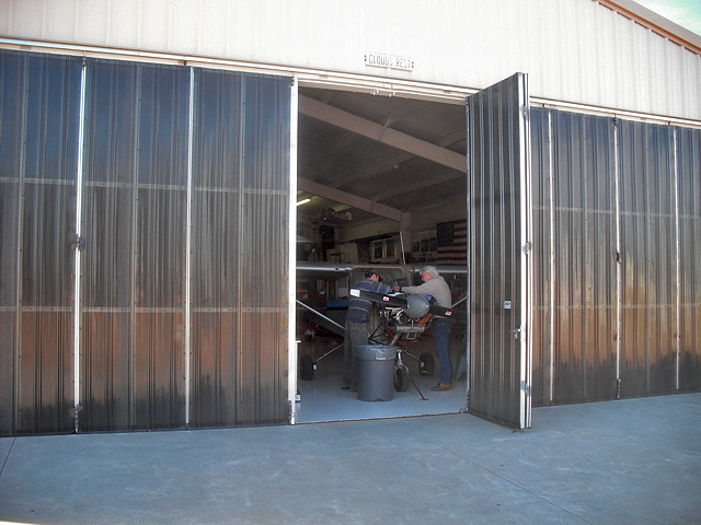
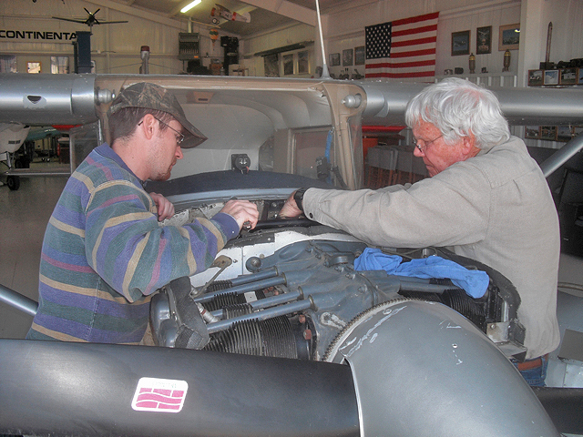
As I came into Doug’s hangar I found him and his nephew Kevin hard at work completing an oil change on Doug’s C-150. They needed to get it ready because Doug’s son Randy was coming in from Kansas City and Doug was going to give him some dual instruction that afternoon.
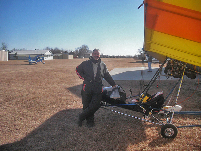
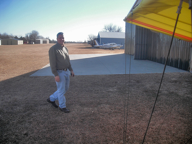
In order to document my arrival at High Point, I asked Kevin to get a shot of me. As a bonus I got him to frame Jim Wiebe’s 1941 Interstate SA-1 on landing rollout behind me. As you can see, I am suited up for the arctic and was getting pretty warm in the 50º air. I fired up the motor and headed toward The Glider Port. If there was some action apparent at The Port, I was going to land.
Right before I started the motor I saw Randy walk up so I grabbed this shot of him before I took to the air.
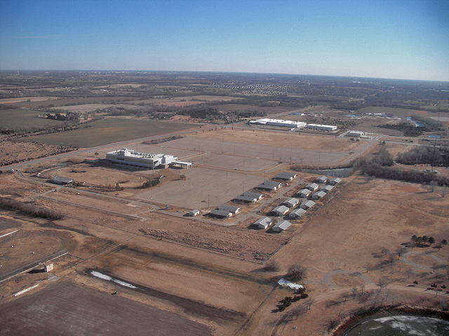
Directly East from High Point, just after crossing I-135, is the Kansas Coliseum. It is a pretty large venue for concerts and shows of all kinds.
Just South of the Kansas Coliseum is the Dog Track. We are told it went out of business because it couldn’t get slot machines. Sure.
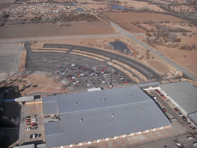
To the East of the Coliseum is the Pavilion wherein Gun Shows, Livestock Shows and Car Shows are held. I snapped this shot off real quick because I decided this must be a Fire Fighter gathering of some sort. If you look real closely in the parking lot real close to the Pavilion there is a ladder truck with its ladder extended.
Because I was wanting to conserve fuel I didn’t want to depart from my flight path to get closer for a better shot but here you can see an interesting, bright red house done in a “barn” style.
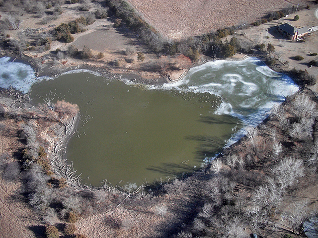
I liked the way the ice looked. Those specks all over the edge of the ice are geese.
As I approached the Glider Port, I saw a Belite ultralight in the pattern. Since this is the home of the Belite factory I was not surprised. This plane had a new paint job I had not seen before and was very attractive. I didn’t see anyone else hanging out at the field so I elected not to land.
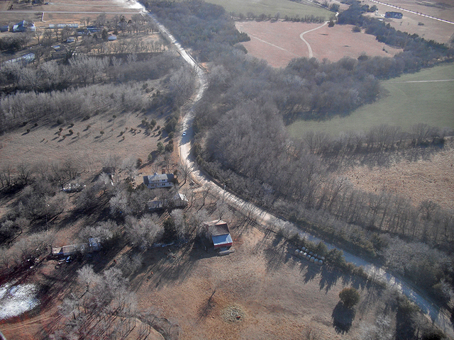
I noticed this particular curve in the road because I used it once before. Back in the 80’s I had a car stereo client who wanted to show a Porche driving through the countryside with one of their stereos. I scouted out this location for one of the shots. It worked good because when I set up the shot from the South with the car heading toward me I was able to get a nice transition as the car “emerged” from the forest. A few years later I used the same road to stage a motorcycle wreck for a law office commercial.
The news people have been telling us how bad the housing market is. I found the only house in Kansas being built.
As usual this pocket camera of mine does not do the shot justice BUT if you look up Highway 54 you will see a bright spot. Because of a moment of angle to the sun, the parking lot of that Wal-Mart shone like a jewel for about 30 seconds.
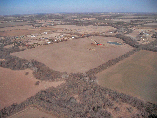
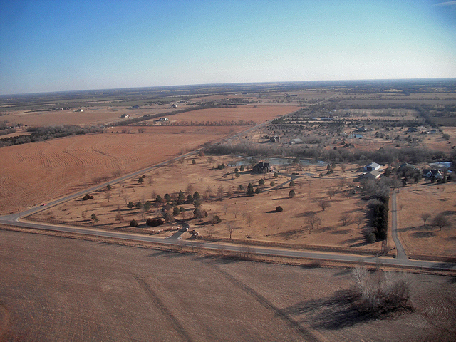
On my flights I like to look for a particularly good example of home and property seen that day. This is the one for this Saturday. Trees, lake, out buildings, probably a pool. All they are missing is their own landing strip.
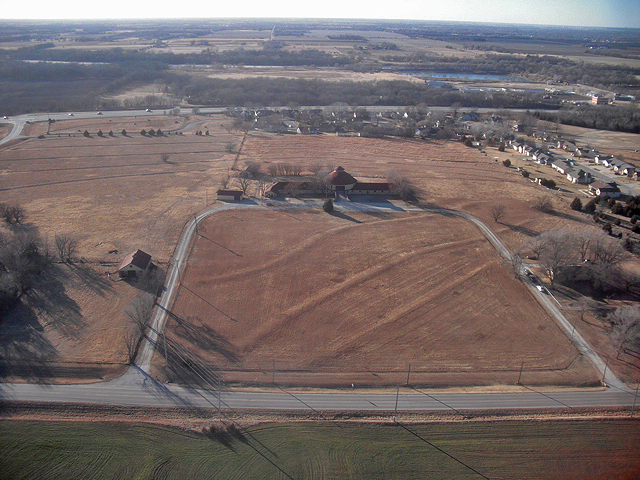
I took a few aerial shots of this for the owner a while back. He told me it is a type of milking house that was popular among dairy farmers a while back.
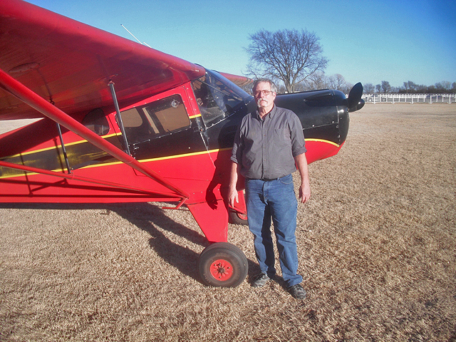
As I passed the Round House on my final leg to Selby Aerodrome, I saw a red plane pass me to the South about 3 miles from me. I made it out to be a Taylorcraft. Sure enough it was Bill Bailey in his 1946 BC12-D1 Taylorcraft. Bill had recently transitioned into it from the Volkswagen powered MiniMax he had for a while. It was the first time I had seen it in the air. He made a nice landing and pulled up to the hangar. Don Force was already out with his Titan Tornado preparing to fly off. I made a few circuits of the field and landed. It was a good day.
Blue Skies & Tailwinds!
Brian FitzGerald

