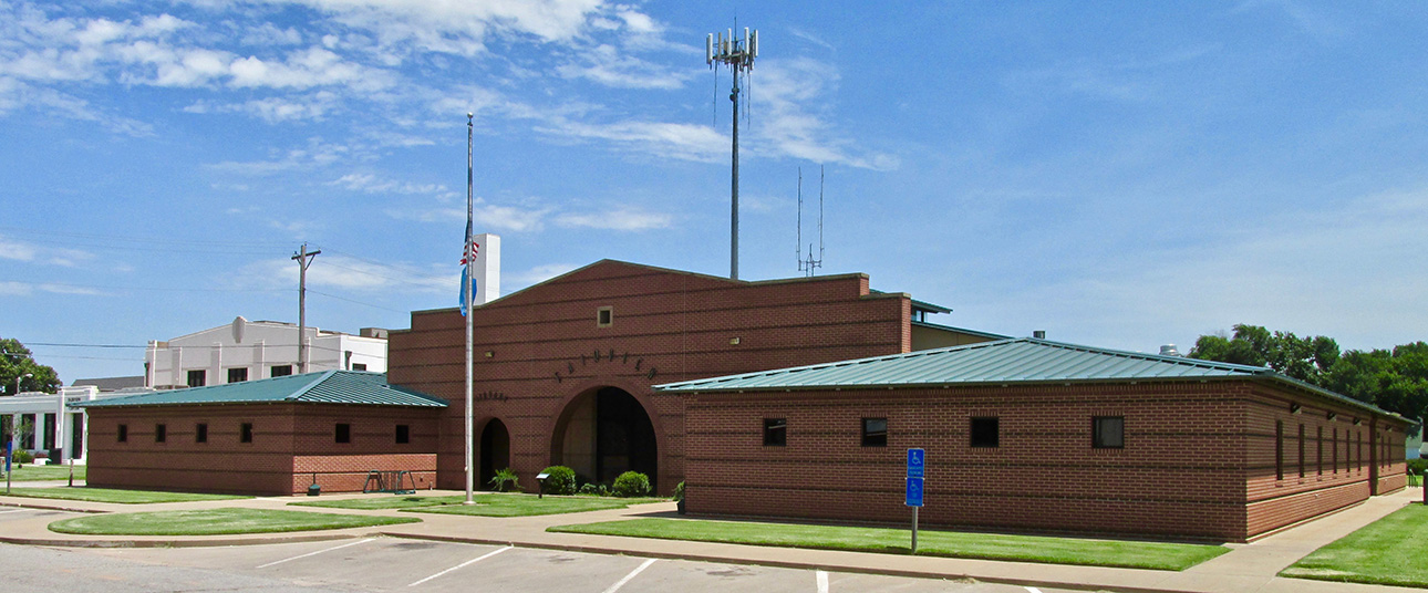
Fairview Indeed!
If you have read any of my Sky Safaris, you know my aim is to visit new and interesting places on The Prairie. It’s a little easier for The Sky Surfer if said place features an airport, although that is not a deal stopper. I have made a number of ventures to locales sans airport but this time I saw a burg with an interesting name AND an airport – situation resolved. It didn’t hurt that Fairview is southwest of my field either. One of the reasons I call myself The Sky Surfer is that make my best effort to use prevailing winds to my advantage. During the Summer, winds in this region come out of the Southwest so that added to the attraction of this choice. There is much more to recommend Fairview but I will let that manifest as the story unfolds…
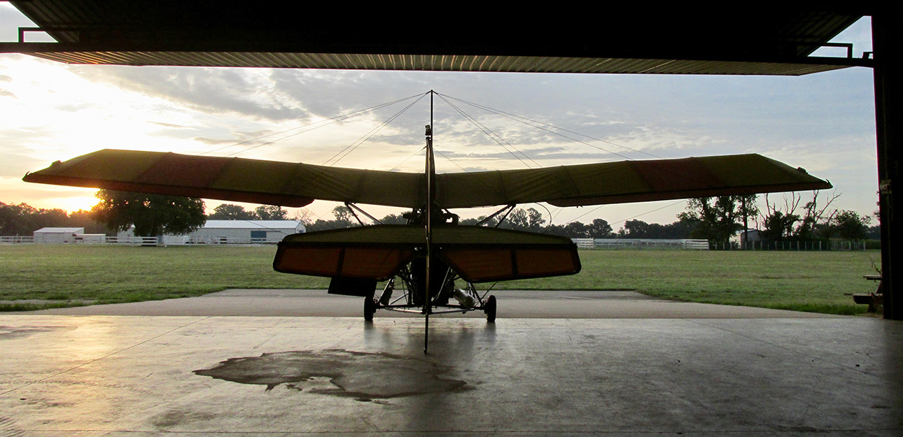
Sunrise peeks under the wing
My intent was to be airborne as the sun crested the horizon but as you can see, I missed that goal by a few minutes. (Obviously the reason for the delay was that The Surfer was compelled to capture this moment…) One universal characteristic of pilots is that they love to look at airplanes – theirs and other people’s. The Quicksilver looked too good in the morning light not to have this picture taken.
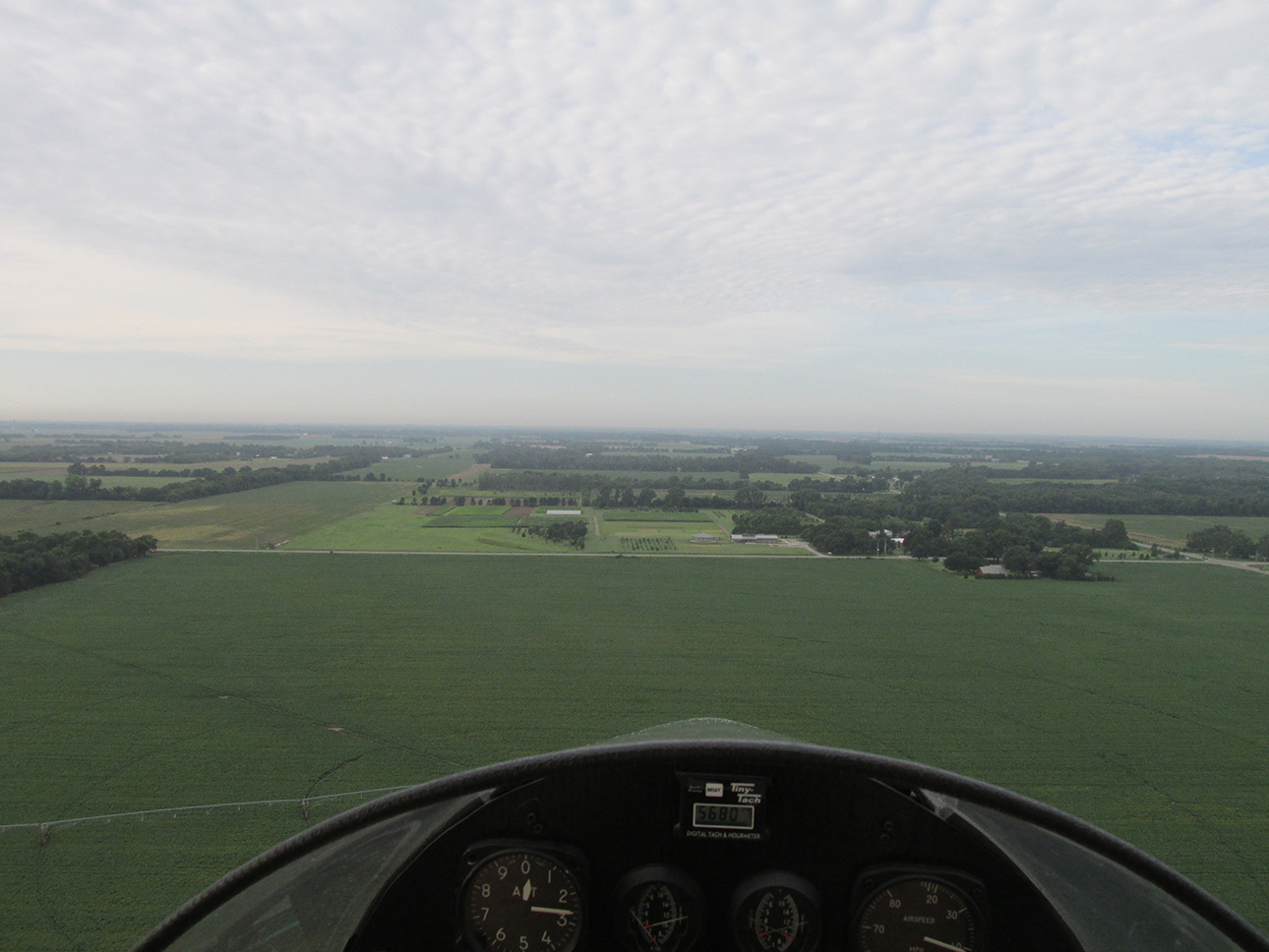
Southbound for Adventure!
It was the middle of the Summer – Prime Time for a Sky Safari – July. The Sky Surfer lives for opportunities to fly in his favored uniform of Tropical Shirt, Cargo Shorts and Keen® Sandals (we stopped calling them Hawaiian Shirts decades ago). Some might consider it “just” casual attire. But for Surf it is Summer Sky Safari uniform-of-the-day. He is fortunate to have a Wahine (Main Squeeze, Surf Mama, Beach Babe, Wife) who knows clothes. Although the original author of his Tropical Look she has long since abandoned favor for it. Regardless, The Sky Surfer has soul attachment to it. Even when it is too cold, he is known to wear his Tropical Shirt on the outside of several layers of insulation. Like the fashionistas say, “Sometimes it is more important to look good than to feel good”.
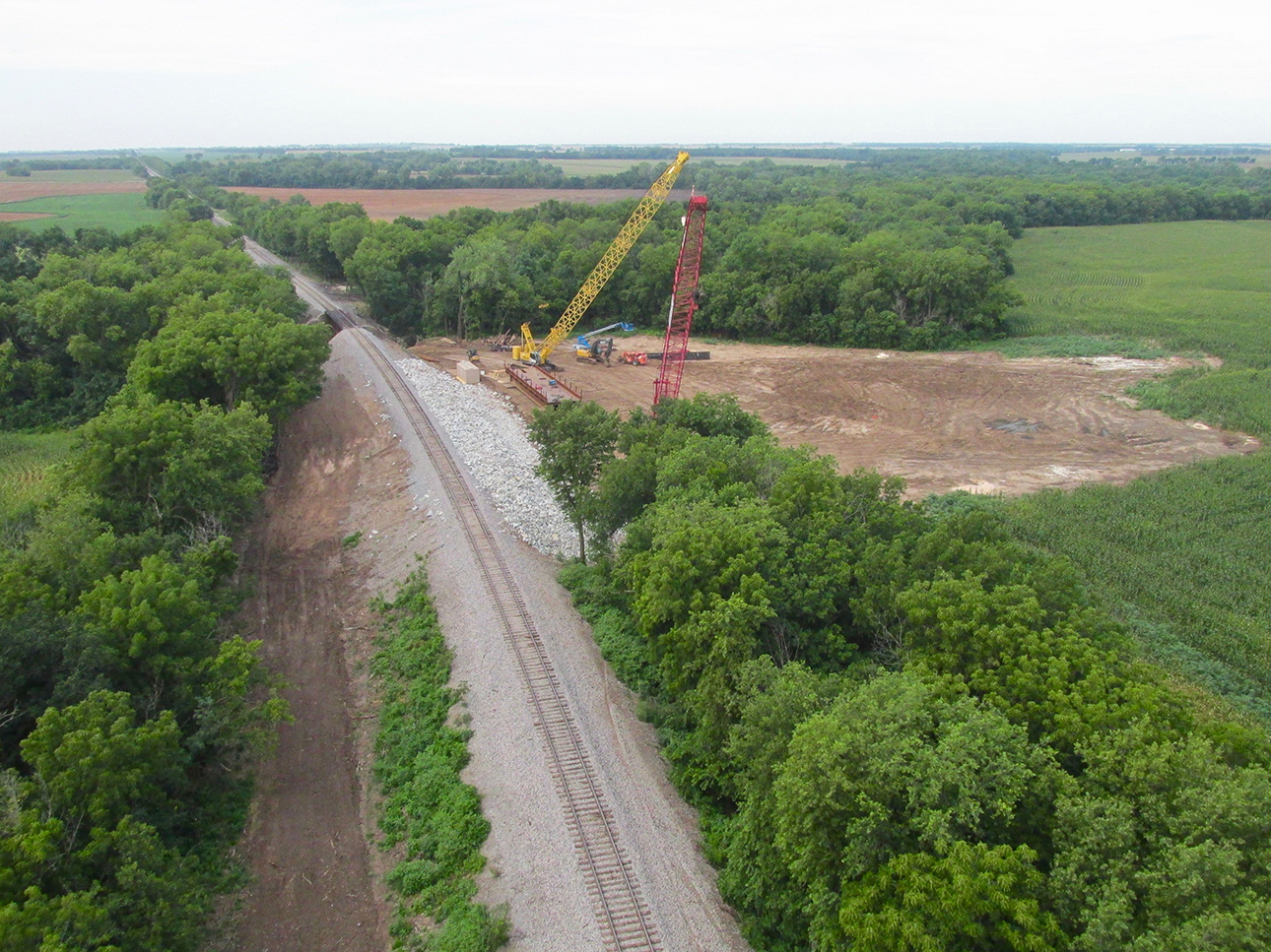
Deja Vu all over again…
I wasn’t expecting to see the scene above on my route to Fairview but immediately I flashed back. Earlier in the flying season a train had de-railed here and made quite a mess. Naturally I took some pix of the disaster but – until now – I really had no use for them. Far Out! Talk about re-cycling. Let it not be said that The Sky Surfer wastes a shot. So, let’s do a quick flashback and re-visit this scene approximately month after the wreck occurred…
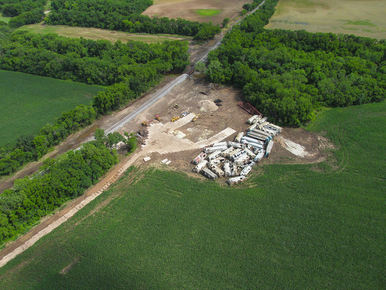
This is from about 200′ AGL looking Southeast. The cleanup process is underway.

The crew has brought order out of chaos. I am very impressed with their ability to move in and deal with all this heavy equipment in a relatively rural environment. What looks like tile below are actually large interlocking pieces of concrete or composite for driving heavy vehicles to the scene. I believe they also rescued the cargo as is revealed by the “cut out” sides on the cars.
Back to Safari Fairview…
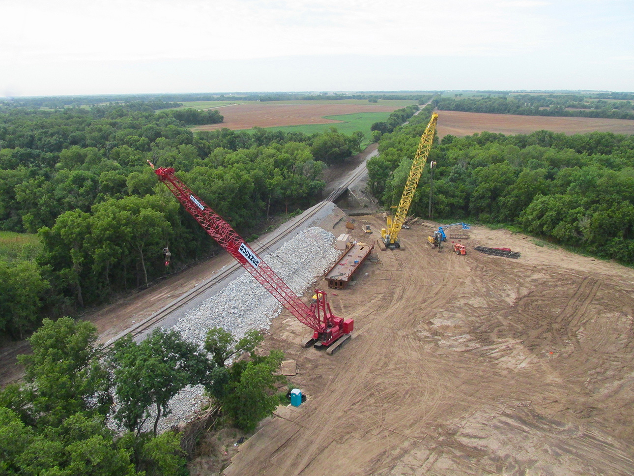
A couple of months later and everything is pretty well picked up. The embankment has been shored.
Wild Life!
Early morning flights are pretty much guaranteed to witness wild life. Mostly in the morning I see deer; occasionally turkeys; on the rare morning a coyote. I always have my camera at the ready to grab these moments. It hangs from a lanyard around my neck and is ready to shoot in seconds.
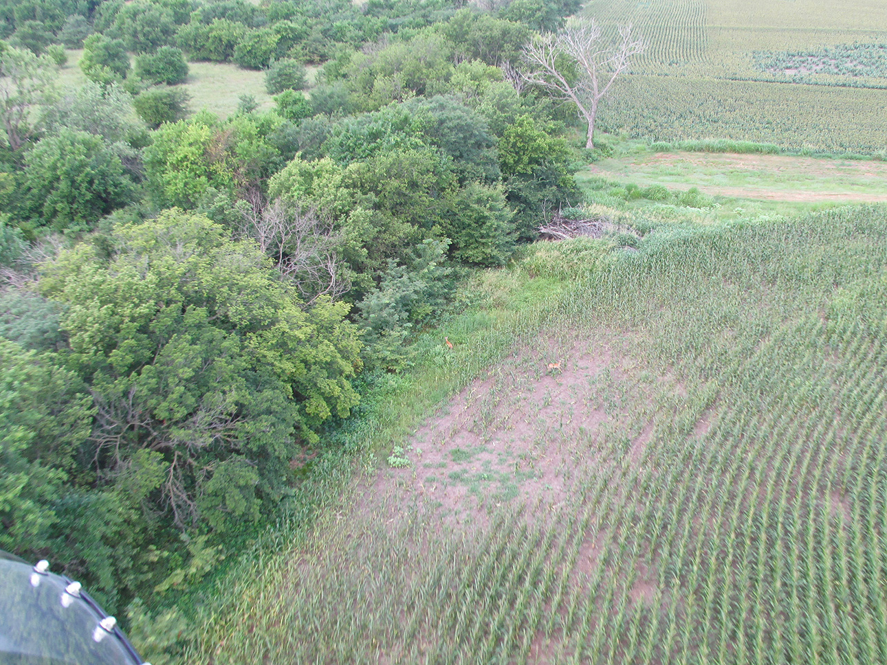
Two deer spooked by the noisy yellow bird suddenly passing over their breakfast break
Breaking out into The Great Plains!
The environs of my home field are not “inner city” by any stretch but there are a number of homesteads adjacent to it. After flying about 15 minutes in any direction, though, The Prairie looms. Next we will see the variety of scenes that make up this part of the prairie in South Central Kansas and North Western Oklahoma.
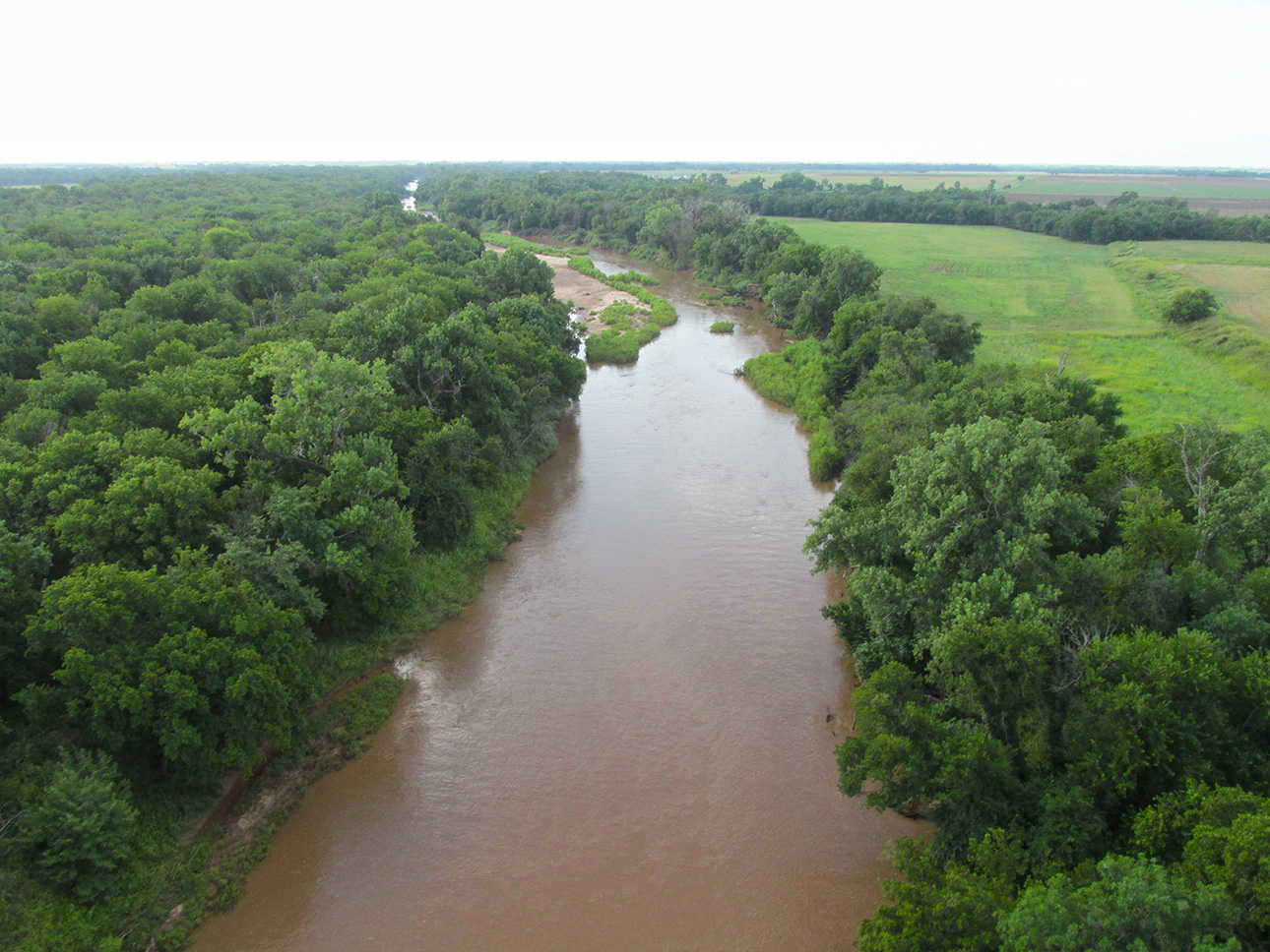
Slate Creek two miles Northwest of Wellington, Kansas
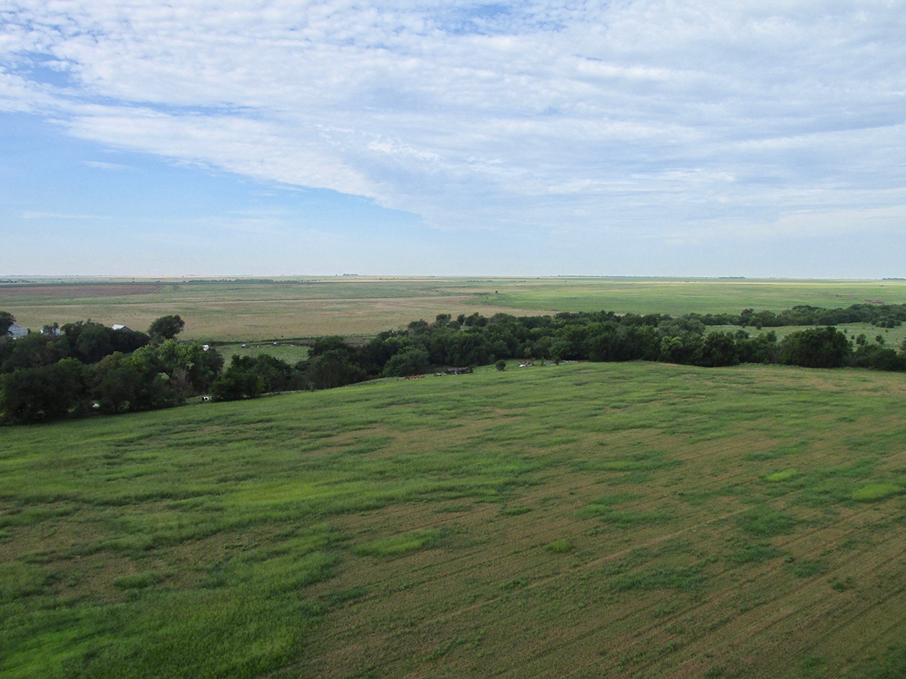
An open vista looking Southwest from 100′ AGL
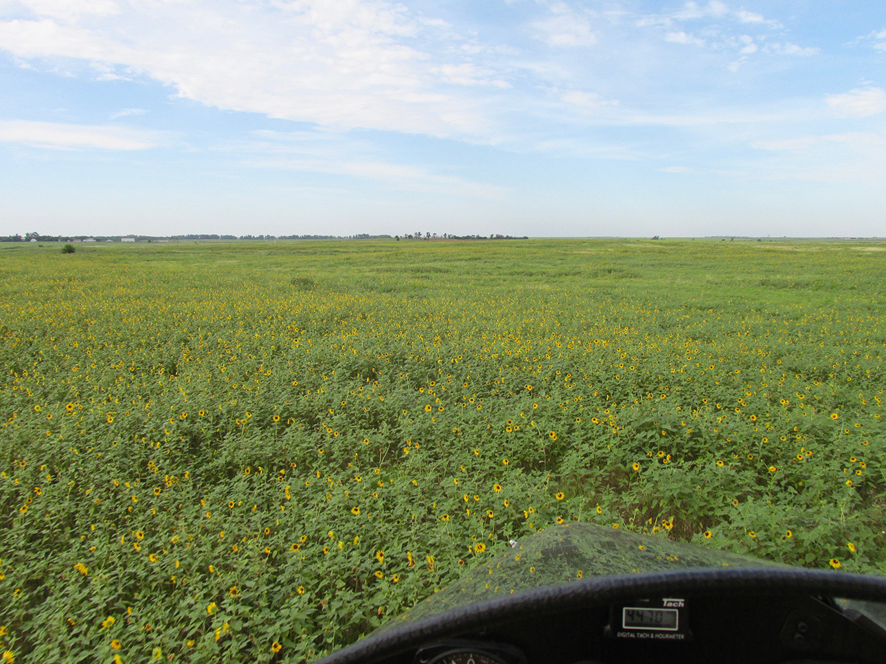
I have now dropped down to “nap of the earth” flying passing over a large field of half dollar sized sunflowers.
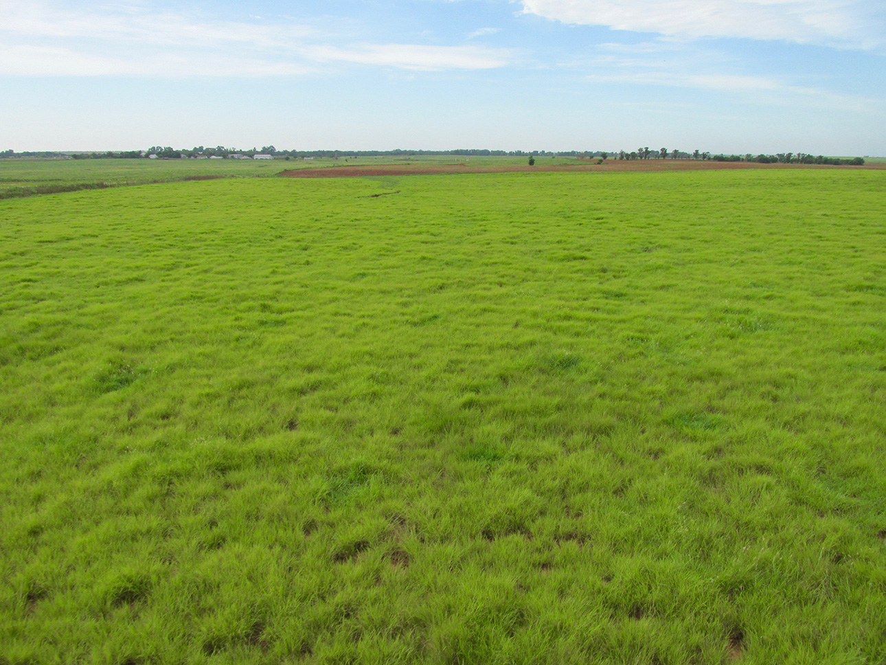
I do not know what this grass is called but it is very attractive. Approaching a farm just off the bow, I will bear right to skirt their area.
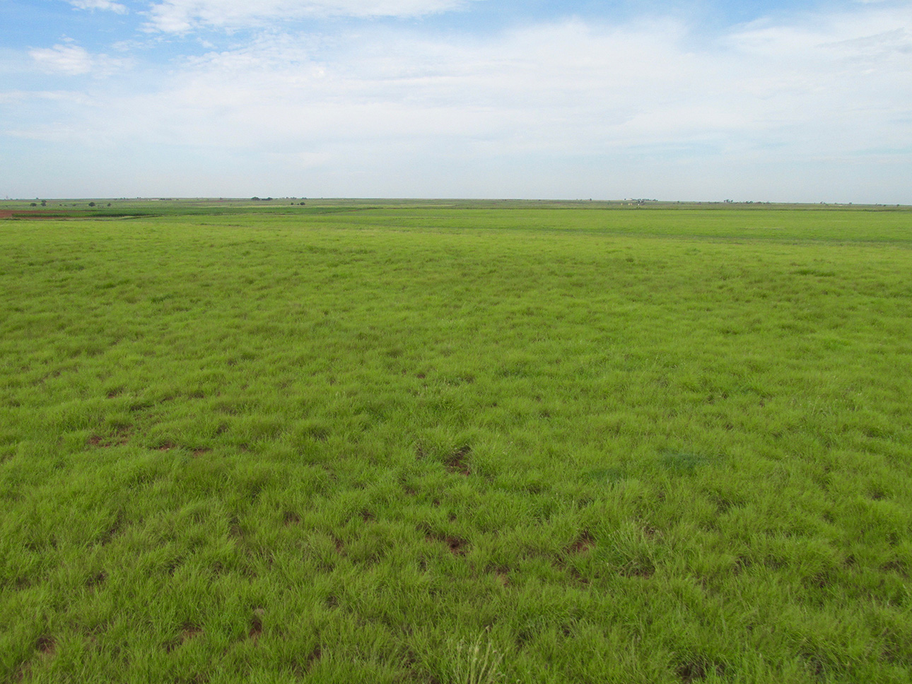
Now past the farm, the smooth grass continues. Is this nice, or WHAT?
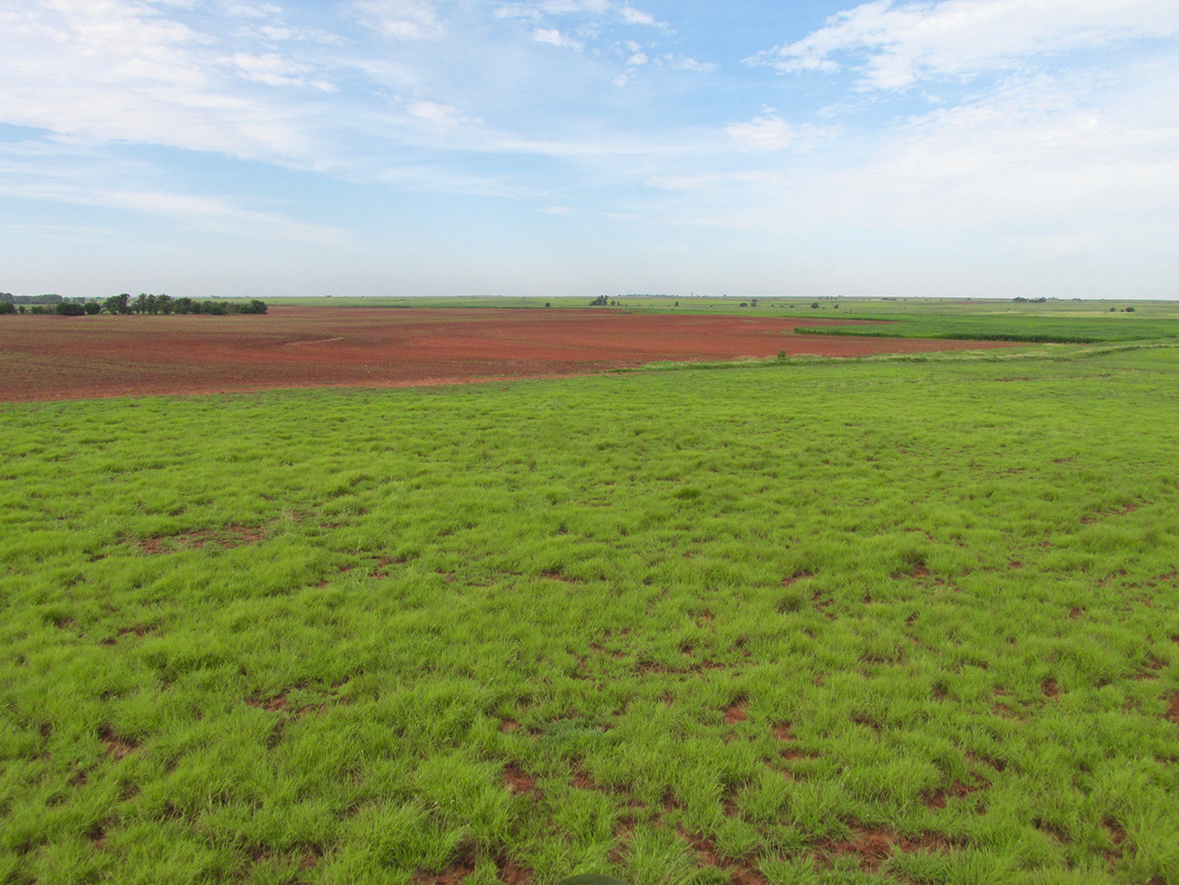
The Red Dirt always signifies proximity to Oklahoma.
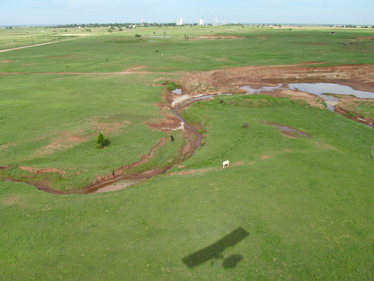
Wakita?
I could be wrong but I believe this is Wakita, Oklahoma. It was along my path and, as you can see, I was flying fairly low to stay under the morning headwind. At this distance, it can be hard to distinguish the small towns on the prairie. It was too far to read their water tower inscription and at this point because of fuel concerns I didn’t want to change my course to get closer.
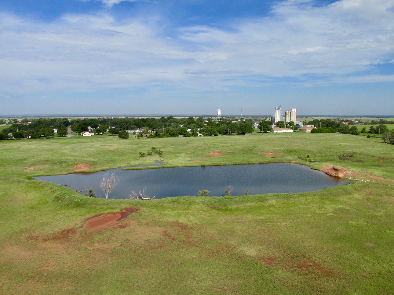
Yes, it is…
Wakita, Oklahoma
OK. I changed my mind. Wakita had been a milestone in Sky Surfing so I made a snap judgement to burn the gas to verify one way or the other. It is Wakita. This town looms large in Sky Surfer Lore. It was the subject of one of his first Safaris… The salient line of the story came from a resident who said to me “You MUST be lost if you’re in Wakita!” Notwithstanding that admission, it is an interesting town. For one thing, it has been the site of a Hollywood movie some years back. You can see The Flite Blog™ story HERE.
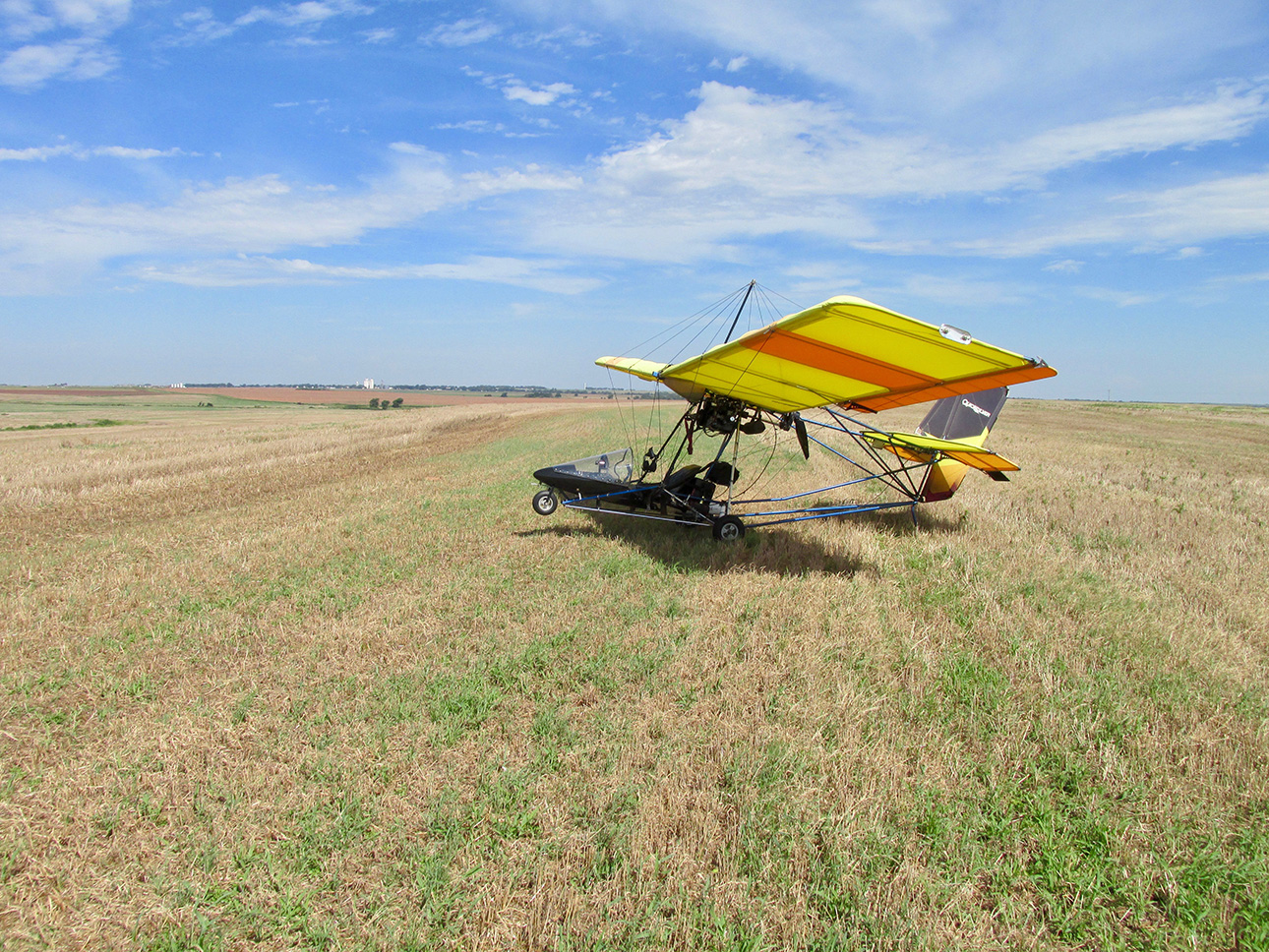
Out here you can pull over on a hay field to take a break (Wakita in the distance).
Pick Your Spot With Care!
I had been airborne for about an hour and decided to drop onto this mowed hay field shown above to take a break. You can’t find a better runway – just watch out for gopher holes!
On another Safari Adventure, I landed in a fallow field that had probably been used for corn, milo or wheat. As I got out of the seat and stepped away I nearly stepped into a 2 foot deep hole of some type. It was at least 16″ in diameter and only by God’s Grace did I not plant one of my Ultralight’s landing gear in it. Since then I limit my off field landings to mown hay fields such as the one above. Whatever animal it is doesn’t seem to take up residence in the middle of these fields. I do “Fly Bys” regardless, to check the surface before landing…
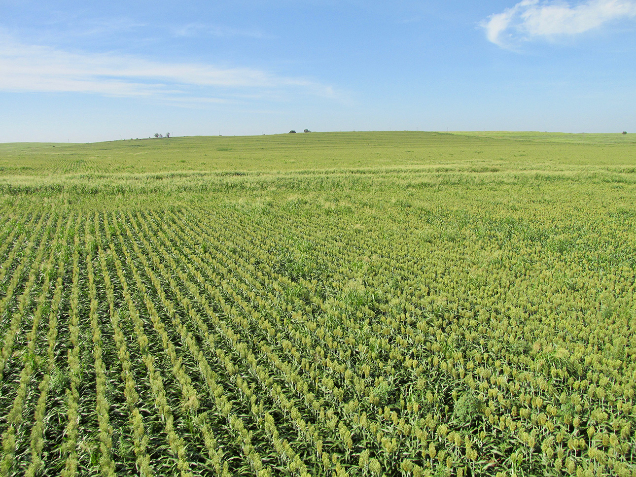
Continuing the journey, I maintained a “ground effect” flight level as I traced this slow rise planted in milo.
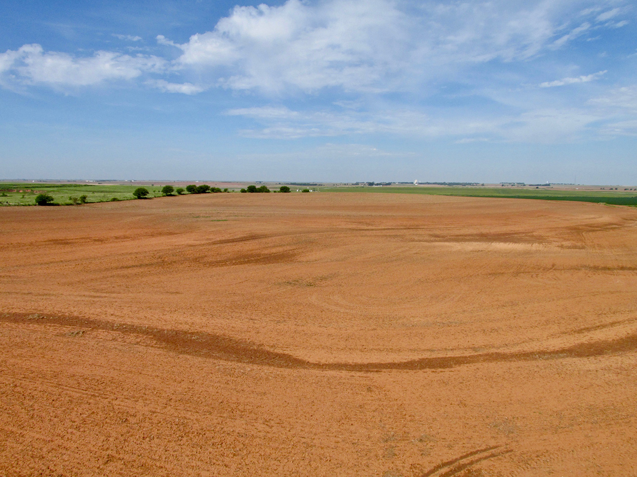
On the other side of the hill was tilled land yielding a beautiful portrait of earth and sky!
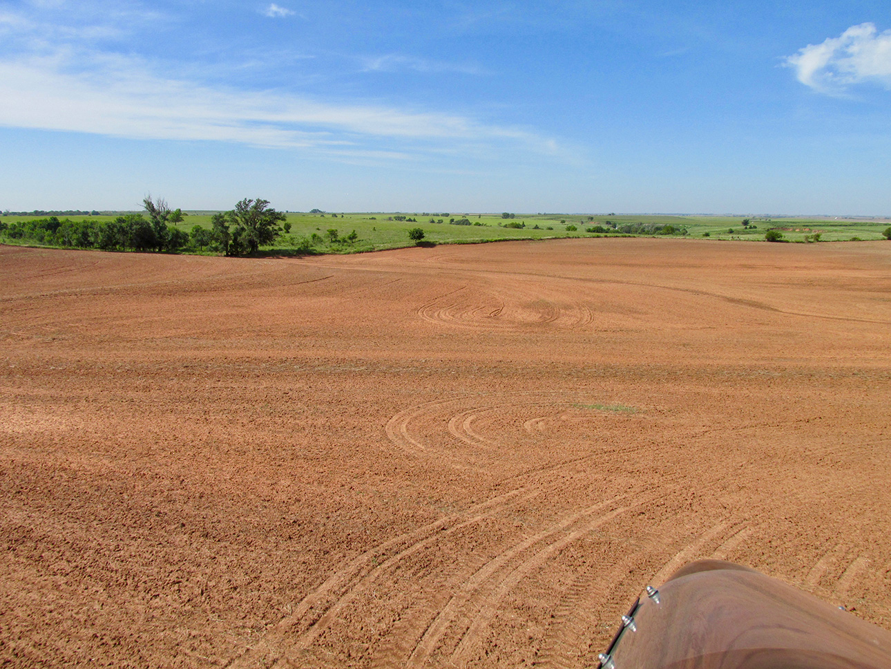
More – as we transition to pasture land. I call this is a “GlennView” shot.
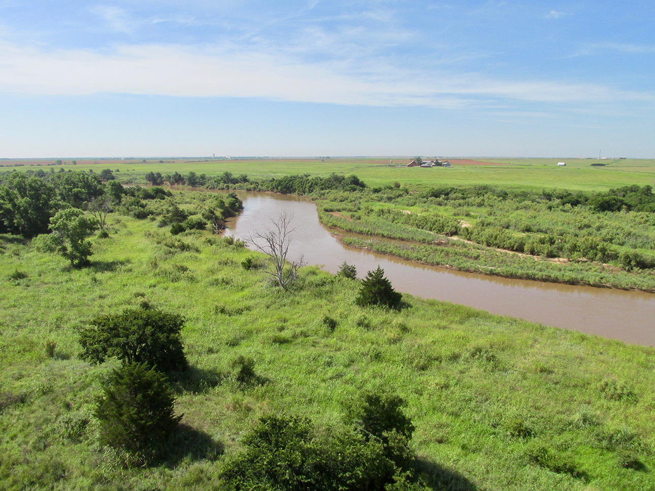
Crossing The Cimarron River. If you look carefully on the far right of the horizon you will see a drilling rig.
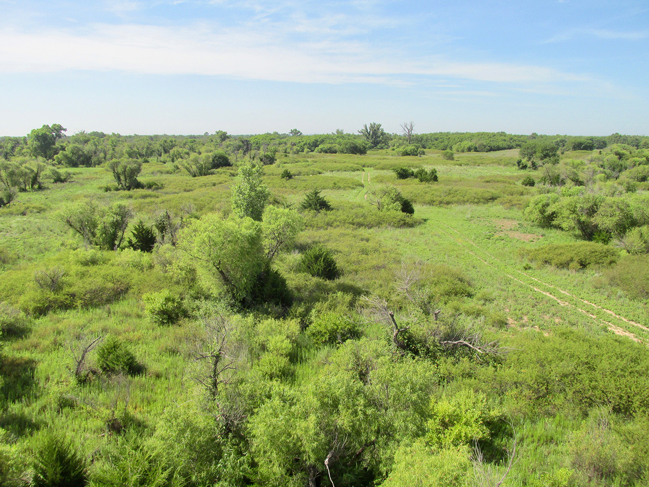
Sagebrush territory
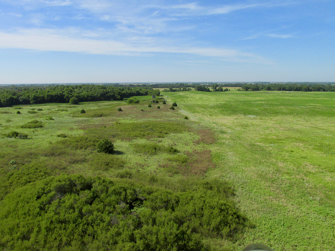
We’re out there now… Even though there is no fence, in this shot you can see the influence of a farmer or rancher.
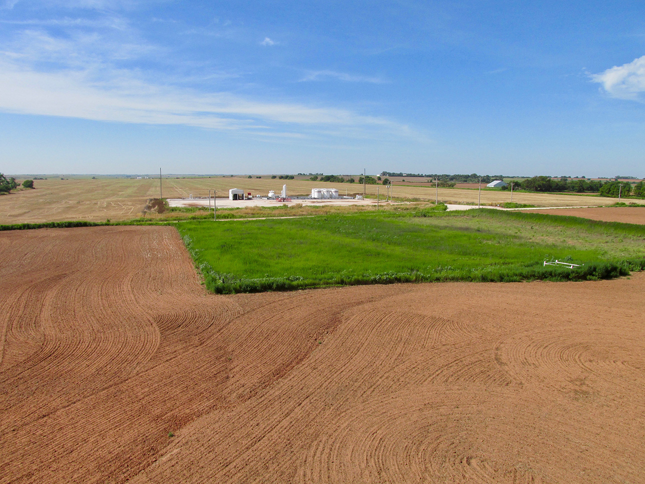
I think this is a water disposal well. When an oil well has too much water mixed in with it, rather than dump that water on the ground, they pump it back under the surface to a permeable formation to dispose of it.

Heading up a slow rise over some milo.
Disclosure
In a fit of honesty, I feel obligated to admit that I am at a loss to determine the town in the next shot. The camera I have been using pre-dated GPS stamping. Therefore, my method for identification is to compare landmarks (like the duo grain elevators) with satellite photos on Google Earth. Most of the time that works pretty good when combined with “fresh eyes”. What I mean by that is I usually write these pieces within a week or two of the Safari. Due to a number of exigencies, that was not possible for this adventure and I am reviewing these shots almost 2 years after they were taken….
Anyway, it astounds me but even with the “monster” clue of the huge salt flats in the background, the twin grain elevators and my “somewhat known” ground track (I tend to meander a bit on Safaris). I’m not sure if it is the town of Nash or Jet, Oklahoma. It could be neither.
Anyway, don’t forget The Salt Flats. They may reappear in this Safari…
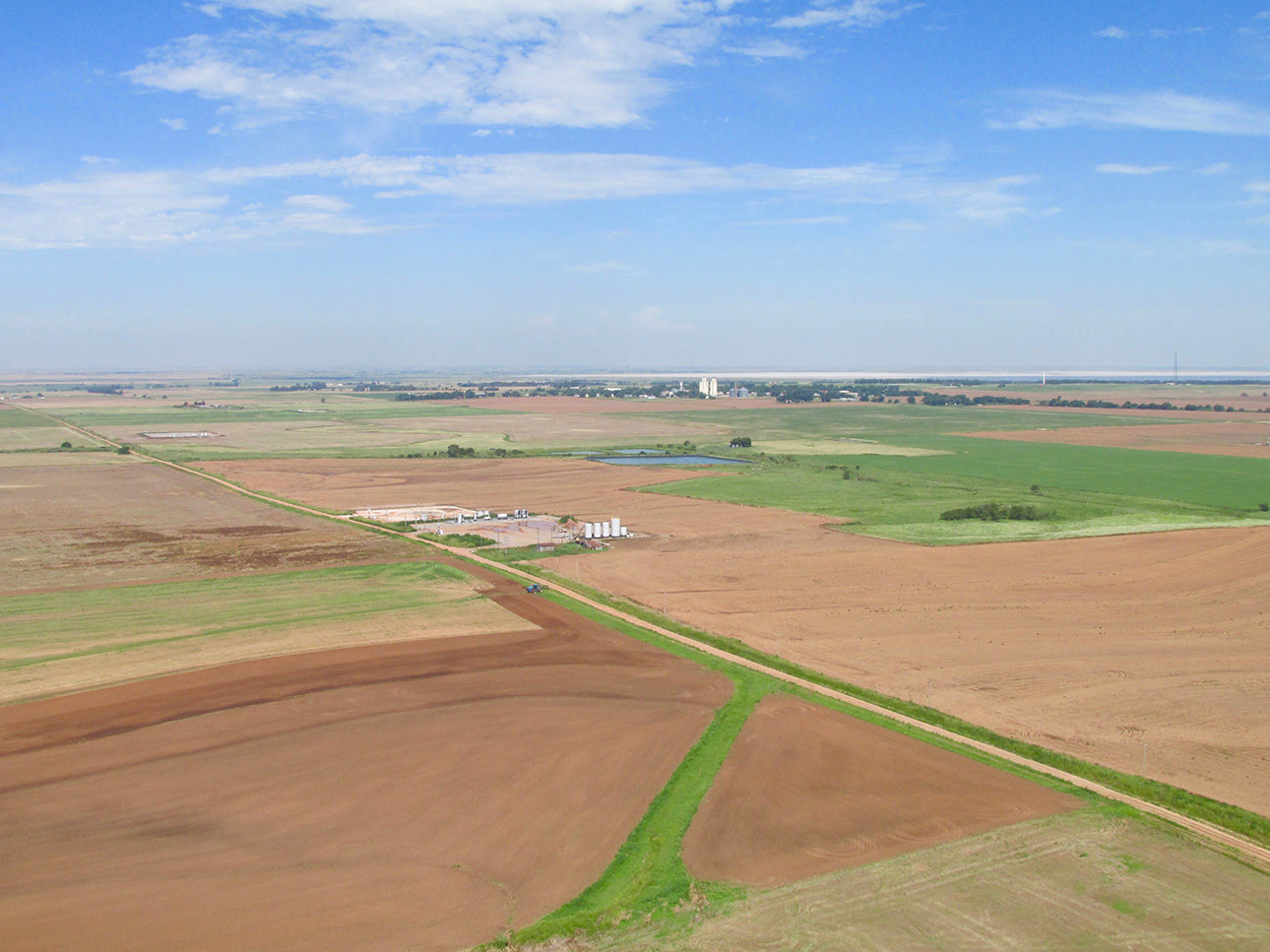
Jet or Nash, Oklahoma (or someplace else…)
A Field is a Field – or is it?
A joy to behold are the beautiful prairie grasses of this corner of the world. Some might see “waste land” or “flyover country”. I see boundless variety of great attraction. The still photo does some small justice to the entire scene. The gentle breeze caressing this landscape is not monolithic. It affects different parts of the field in different amounts yielding a constantly changing mixture of waves. You also are not able to feel the continuous bobbing and weaving of my MXL as I float above this ocean of green in that same breeze. Too, the delightful fragrances of the plants and flowers – and yes – even the cattle when passing by a feed lot. This is The Sky Surfer’s World.
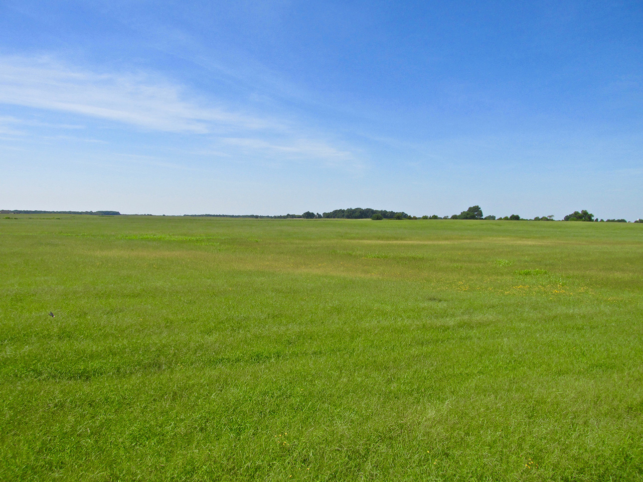
The Sky Surfer’s World
Not Always Low
I get no shortage of remarks – good, bad or indifferent – regarding my “millimeter high” cruising altitudes. Yes, they are definitely lower than your Cessna, Beech or Boeing. BUT, I am usually flying at 38 miles per hour. That is a very important consideration AND I am utilizing my “boundary layer” technique for flying under (instead of against) the morning headwind. Below, hidden by the dust it is raising, a tractor gives indication of the wind that had finally made its way to the surface as I approached Fairview.
All the previous notwithstanding, the shot below proves that I’m not always “eating dust” when I Fly The Plains (just most of the time)…
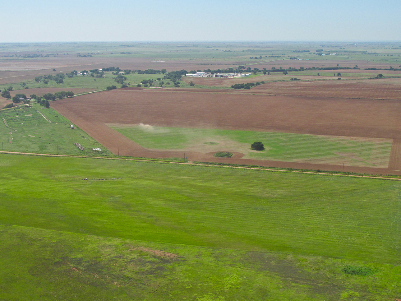
Wisping dust portends a building breeze from the Southwest.
The High View
An obvious advantage we Fliers have over “ground pounders” is our uplifted perspective. Drive by a field like this and you would never suspect the artistry shown below. I wonder if the farmer even knew he produced it. From on high, I see artworks like this all the time. To some it might be considered “only” craft. But, to me, art is often revealed in the attitude toward perfection displayed in common, everyday tasks. By doing his best to organize the hay as efficiently as possible from this unusually shaped field, this farmer’s rake has duplicated on a grand scale the artistry of A Japanese Rock Garden.
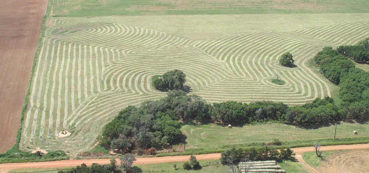
Hay merely raked or a tapestry grand?
Home of The World’s Oldest Free Fly-In and Air Show
Oh, I forgot to mention, Fairview hosts a really fine Fly-In and Air Show every year. It has been happening for over 60 years. I attended one of these events some time before this Safari to gather some “airplane pix” for a music video interlude that I wanted to include in my “That They Might Fly Again” series on Antique/Classic Airplanes. Unfortunately, it was an absolute blow out. It was one of the windiest days I can remember. I was very impressed by the number of Fly-In attendees and that the Airshow Pilots did their routines even with the monster wind. Because of the intense gusting, I often could not keep the camera and tripod steady. It’s hard enough to get a good shot on a nice day but when you are literally struggling to keep the camera from falling down – you got a problem. Regardless, I did get some good stuff in the can but so far have had nowhere to use it. It was notable for having a BD-5J and a Hellcat. At one point, the Hellcat (a taildragger) could not turn crosswind while taxiing because the wind was so strong! It was an interesting day.
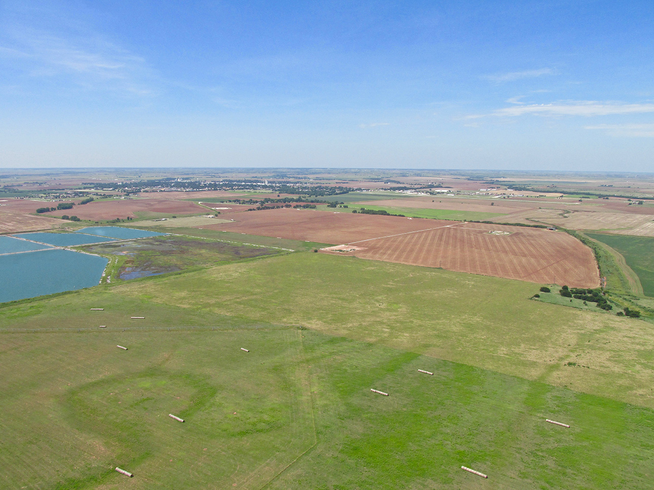
Fairview in the distance, I am climbing to enter the traffic pattern at Fairview Municipal.
More Is Best
I’m sure you have heard the dictum “Less Is Best”. That is good as far as it goes but I must also side with Ralph Emerson when he says “A foolish consistency is the hobgoblin of simple minds…” I tend to purposely over-shoot and over-deliver in these Flite Blogs™ of mine. I do the same with my documentaries which are much longer than industry standard length. I decided long ago (back in the Age of VHS) that I would no longer be slave to an artificially restrictive time space. I have done hundreds of TV commercials which MUST fit the 900 frame window. So, I know how to edit “short“. It is a talent to be sure and necessary for that medium. Television Shows and News Stories, likewise I have trimmed to the required length. Both are strictly regulated due to the necessity of Network Timing and Show Time Considerations.
BetaCam and VHS changed all that. With the advent of the home video recorder, regular folks finally took control of “the time line“. Nothing in the world of movies has been the same since. The big change was the ability to “stop”, “fast forward” and “rewind“. From my first production (“A Beginner’s Guide to Ultralight Flying”), I took advantage of these factors noting how people used these “new-found powers” and adjusted my thinking. No longer would I be restricted to a 26 minute 30 second show (network 1/2 hour program) or a 52 minute piece (network 1 hour program). I just made a movie I thought covered the topic and let people stop, fast forward, rewind, come back the next day – whatever – and even told them at the beginning of the piece of my intent.
These days it is taken for granted but it was a sea change in the early 80’s…
So What?
OK. Here is the point of the big lead-in. Next you will see quite a few angles of Fairview from the air for the simple reason that I have them and you might see something in one that you won’t in another. It’s that simple. Besides, I even shot more than this but after paring down to these… I couldn’t toss ’em away! And finally… These panoramic visions give factual basis for the naming of this burg!
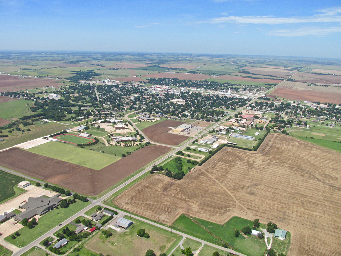
Fairview, Oklahoma from 1,000′ AGL looking Southwest. You can easily find the High School in most towns by the combo Football Field / Track Oval. Fairview’s is in the fore.
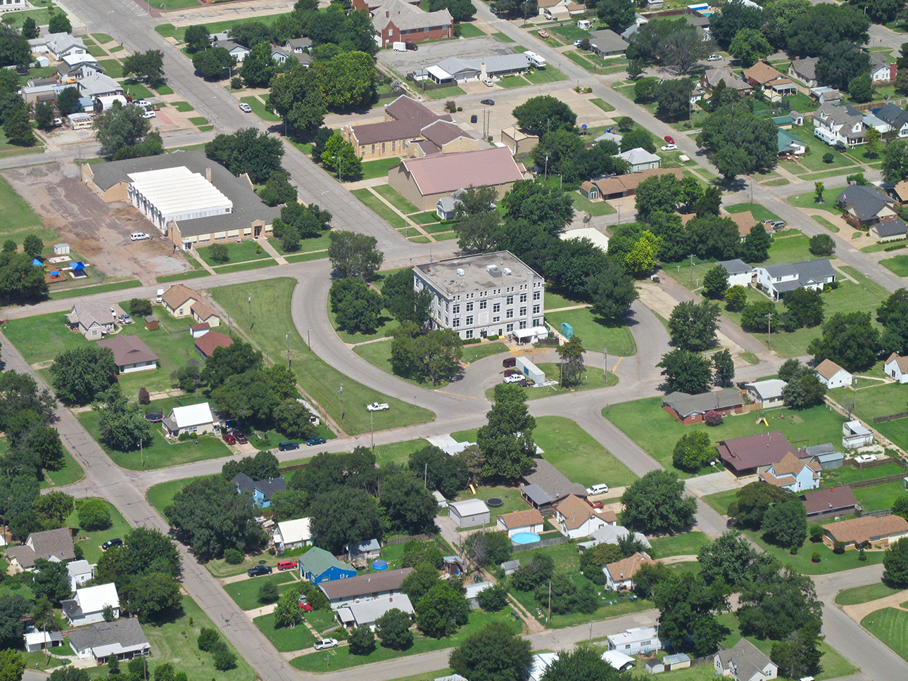
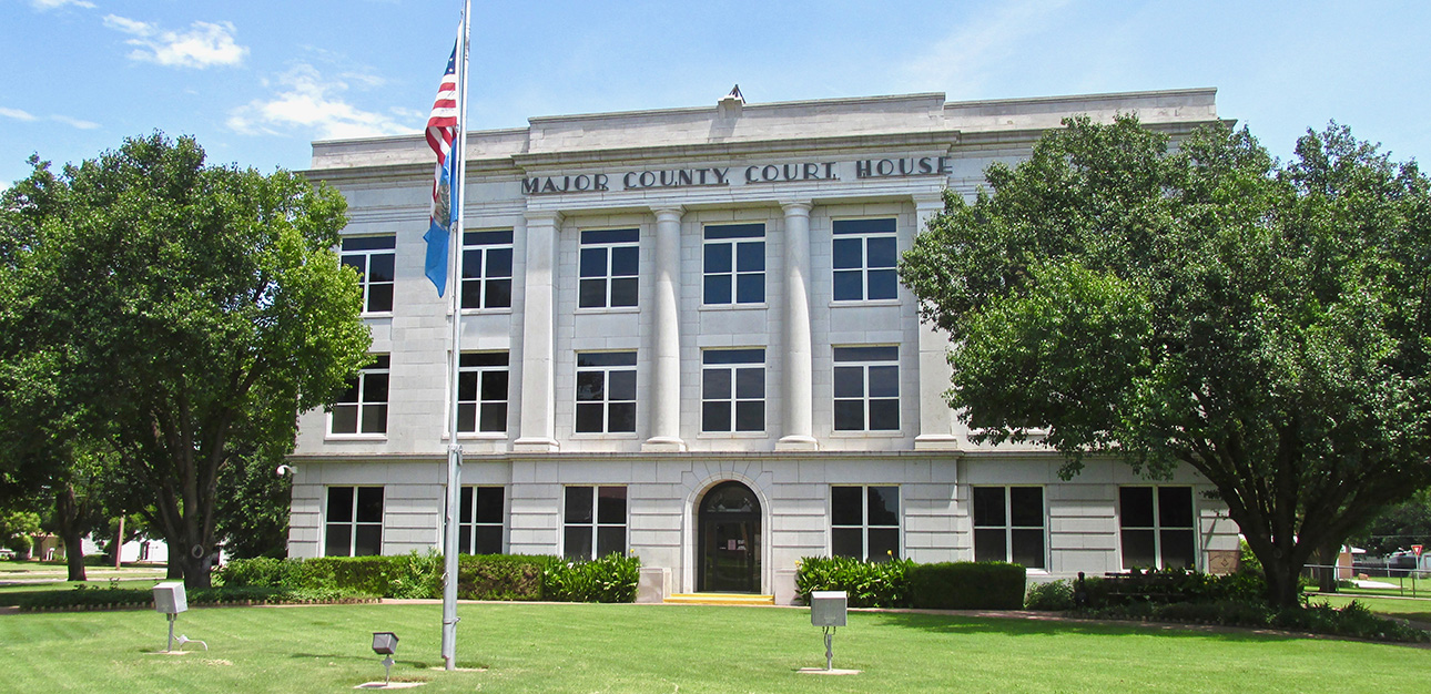
I took a picture of this edifice assuming it was of importance. Bullseye! Fairview is the county seat of Major County and this is the Court House.
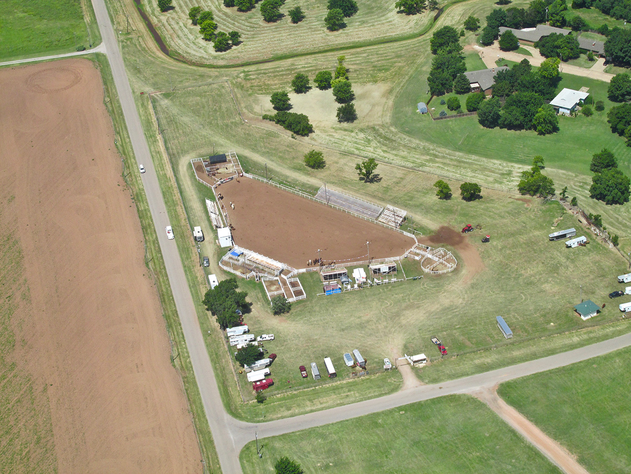
As I made my circuit of the town, I saw this rodeo arena on the South side. It will figure again as the story progresses…
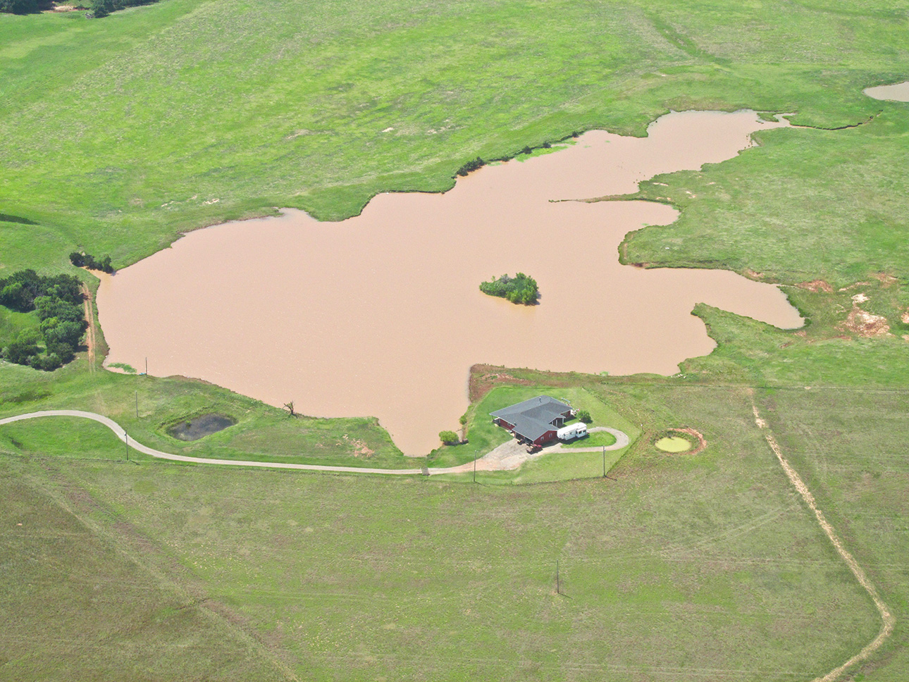
Looking farther South of town I saw this interesting parcel.
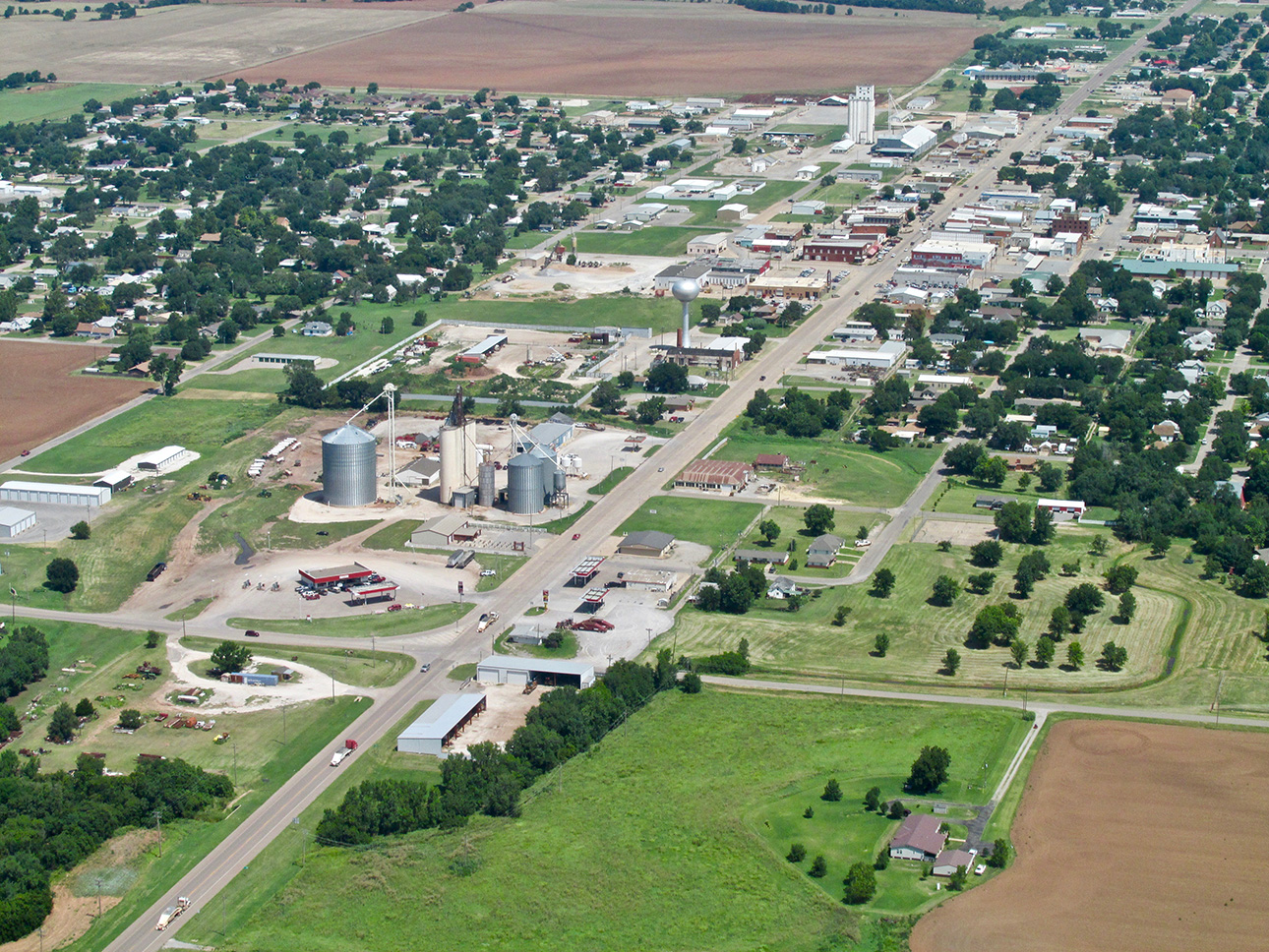
Back on track, I saw a good shot of “Main Street”. This was taken from 1,000′ AGL looking Northwest and is Highway 60 cutting through town North and South. When the highway passes through town it IS The Main Street.
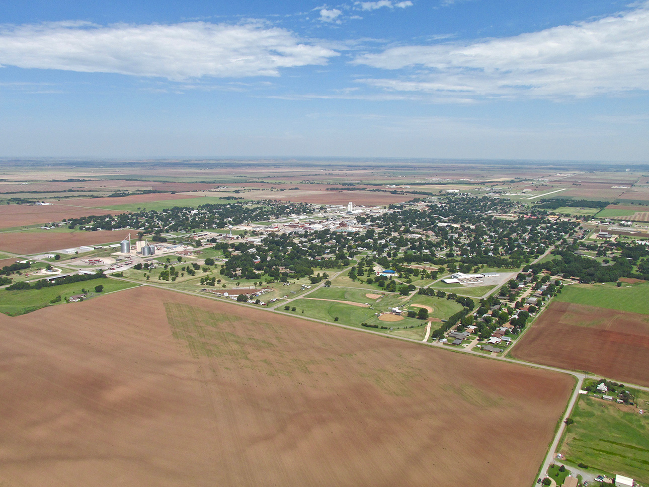
A wide shot of Fairview from the Southeast quadrant. You can see the Metro Airport on the North side of town.

Here’s a telephoto of the airport. After taking this I decided to peel my eyes for traffic, enter the pattern and land.
The Joy of The Sky Safari
If you have not read one of my Flite Blog™ reports before, a little background is in order… My main desire on these flights is to drop into a place I have never visited before, walk around town (drive if there is a loaner car) and record what I see. It is not an exhaustive report. When I return to base I research different things I saw to give you some historical info. I make a point of NOT setting up interviews or planning my walkabout.
As soon as I tied my Quicksilver down I was completely surprised by what I saw next – right at the airport…
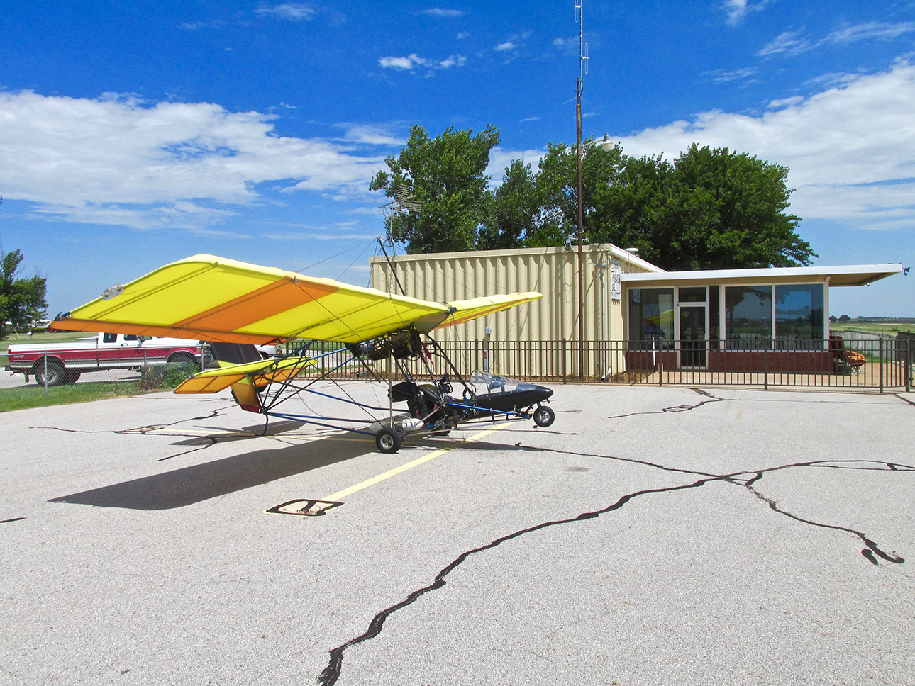
The Sky Surfer’s ride before attaching tie downs to the wing and tail.
Regier Flying Service LLC
My Father, Gerald (Jerry) FitzGerald, was a professional aviator. He was a Fighter Pilot with the United States Air Force. Growing up in that environment was very interesting for me and definitely out of the norm. We moved all the time as I grew up. I went to about 12 different schools before High School and then attended 4 different High Schools. We were in constant motion.
There is another type of Professional Aviation that generally operates from a fixed base. That is the Crop Dusting, Spray Plane or Aerial Application business. The first time I was cognizant of it, I was 16 years old in California driving out in the country and suddenly in front of me I noticed a guy in white coveralls up on an embankment with a flag in his hand. I’m watching this guy when out of nowhere a Stearman BiPlane blasts over him cutting off the spray from his wing nozzles as he makes a dramatic climb. By then, I am passing the action so I check traffic behind me, pull over and jump out of my car. No sooner had I done that when the Stearman, after completing a “hammerhead“ maneuver, came blasting down to where the flagman had moved and hit the “misters” again. Since my car was well enough off the road from traffic, I ran across it so I could scale the 8 foot embankment to watch the action better. For about 10 minutes I watched the Stearman go back and forth until he finished the field. The pilot then waved at me as he gave me a “buzz” and the flagman ran to his pickup presumably to get to the next field or back to the base. I was very impressed by all this and obviously remember it to this day.
When it comes to Professional Flying, I consider Spray Plane Operators to be cut from the same cloth as Fighter Pilots. There is much skill involved for both – each discipline requiring “stick and rudder” competency that I appreciate.
In a non-descript hangar not thirty yards from the airport building you see next to my parked Quicksilver in the photo above, was an amazing stable of Spray Planes. The Regier Flying Service LLC.
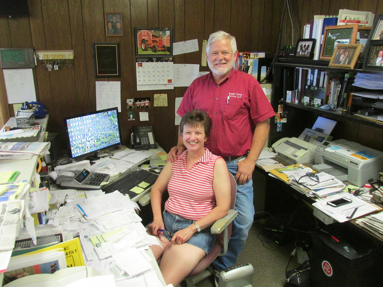
Junior and Teresa Regier
Junior Regier and his wife Teresa manage the airfield and run their business from offices on the field. Their two sons Matthew and Tommy also work for the business. After tying my plane down I walked into the airfield building and met Teresa. I struck up a conversation. Seeing a photo of a Spray Plane I made mention and from there learned about their enterprise. Because I showed so much interest, Teresa invited me to go over to their hangar and look around. She said to look for Matthew and Tommy and they would give me a tour. The next few photos are the result of that serendipitous good fortune.
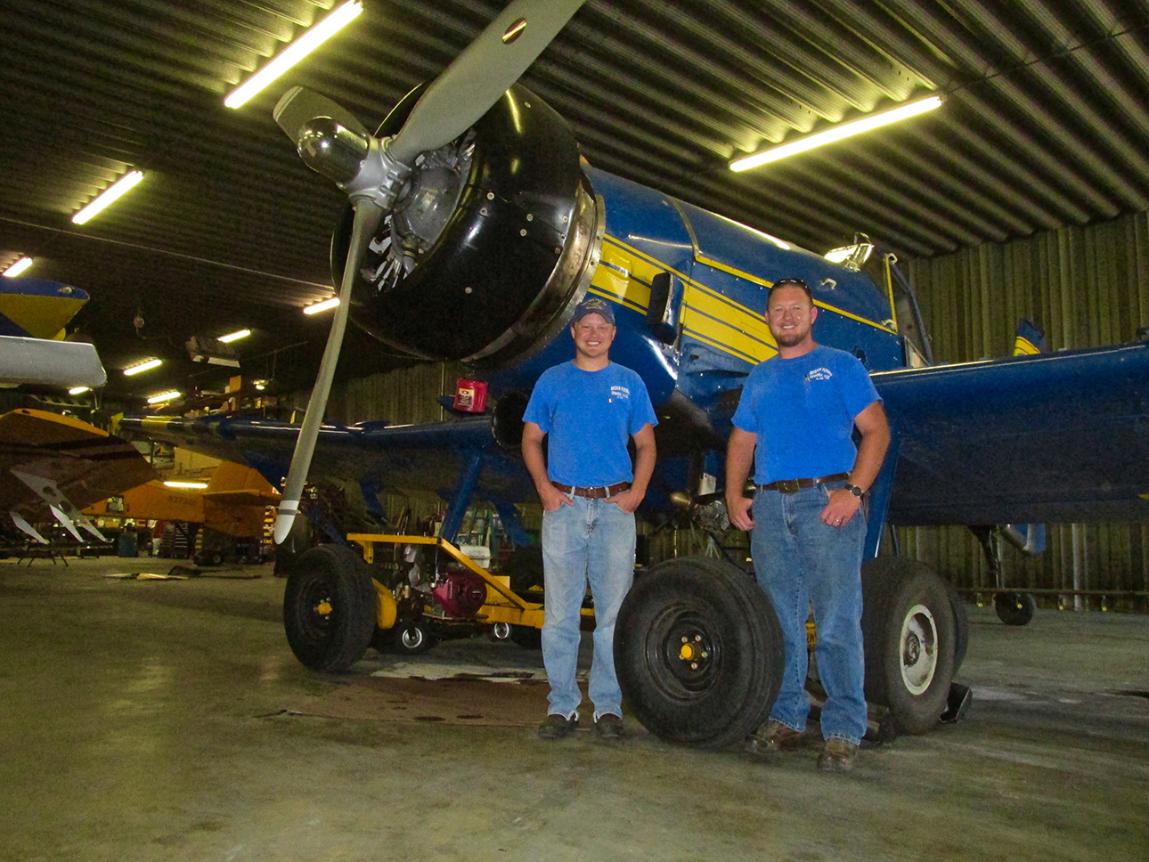
Matthew and Tommy Regier in front of one of their M18 Dromader spray planes built in Poland. That’s a 1,000 HP Radial! There is more about the manufacturer and the airplane HERE.
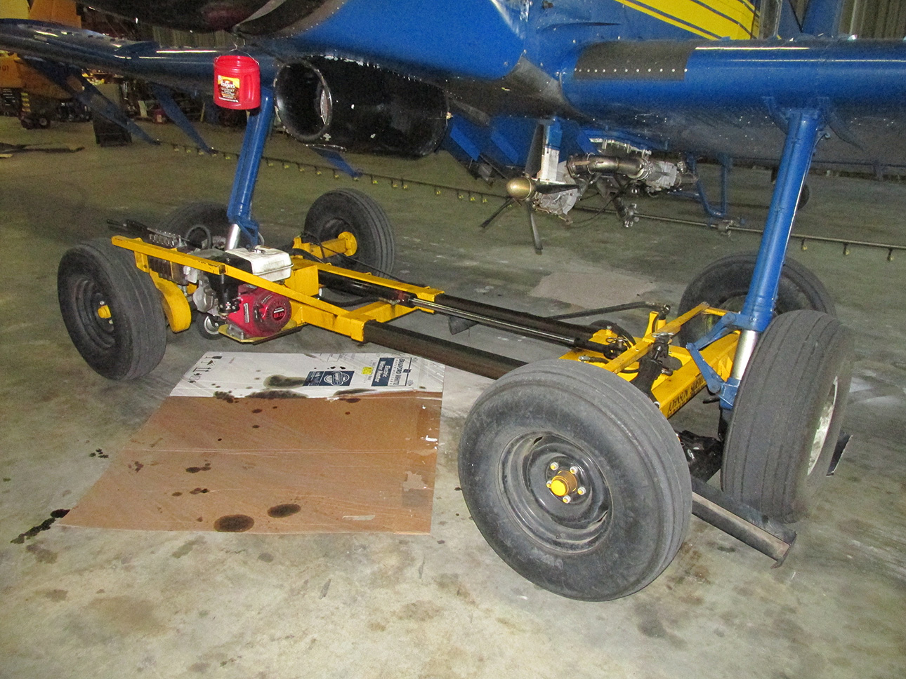
In order to get the long winged planes in and out of the hangar, they use this device to move them sideways. The M18’s have 59′ wings and the hangar doors are 42′. I had never seen one before so I took this shot. It’s called a Sidewinder.
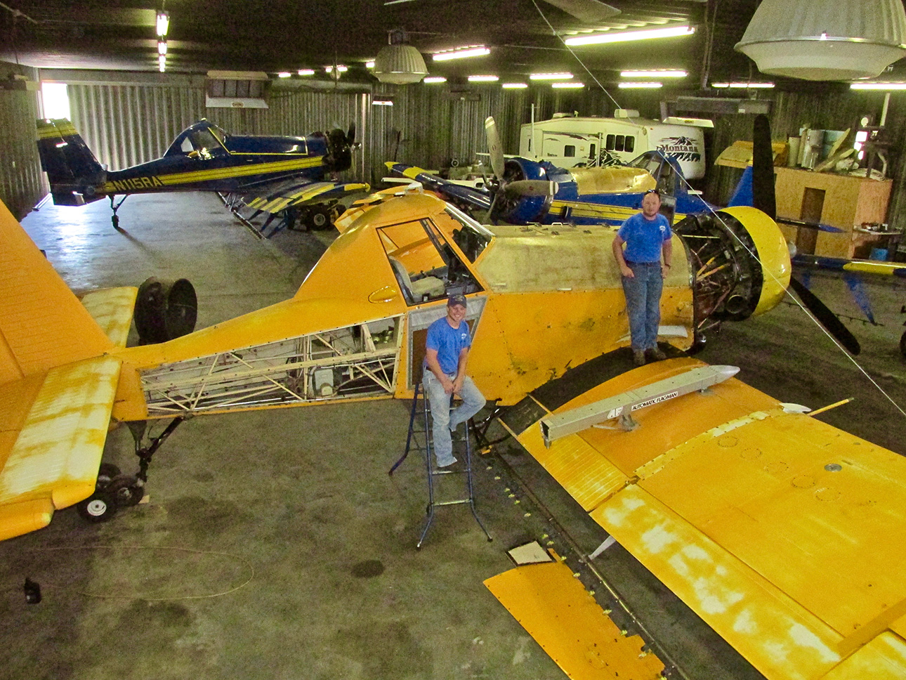
I hustled up a ladder to get this view and asked the guys to pose again. Remember this: Flying = Maintenance.
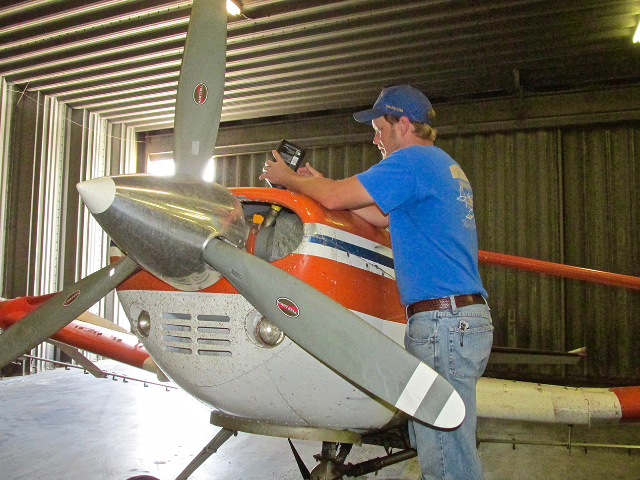
Airplane engines use a lot of oil.
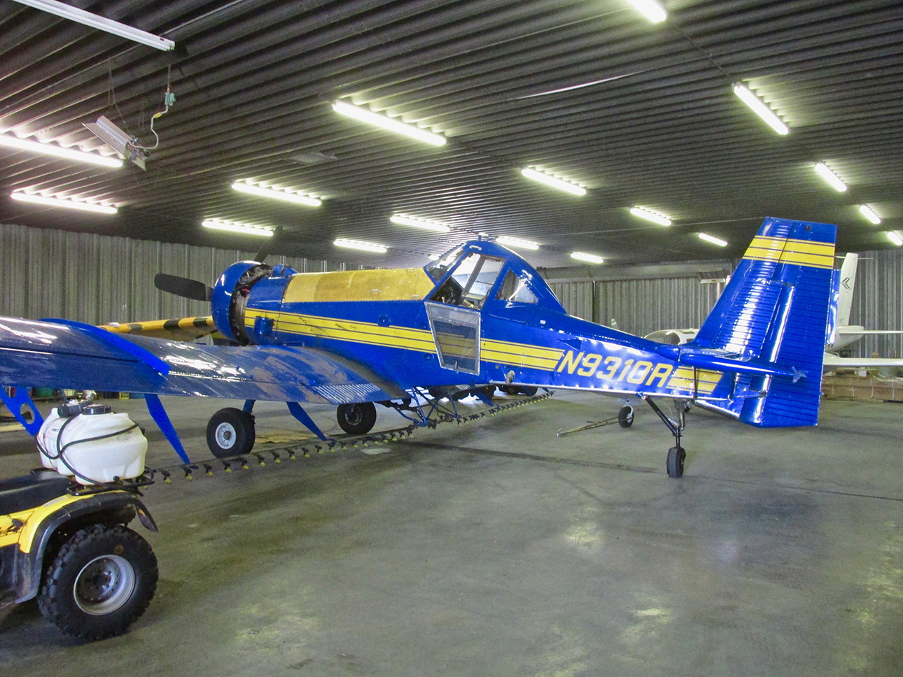
I think this is their newest Dromader. At least it has the newest paint job. The M18 has a definite, purpose built look to it. I bet it is fun to fly.
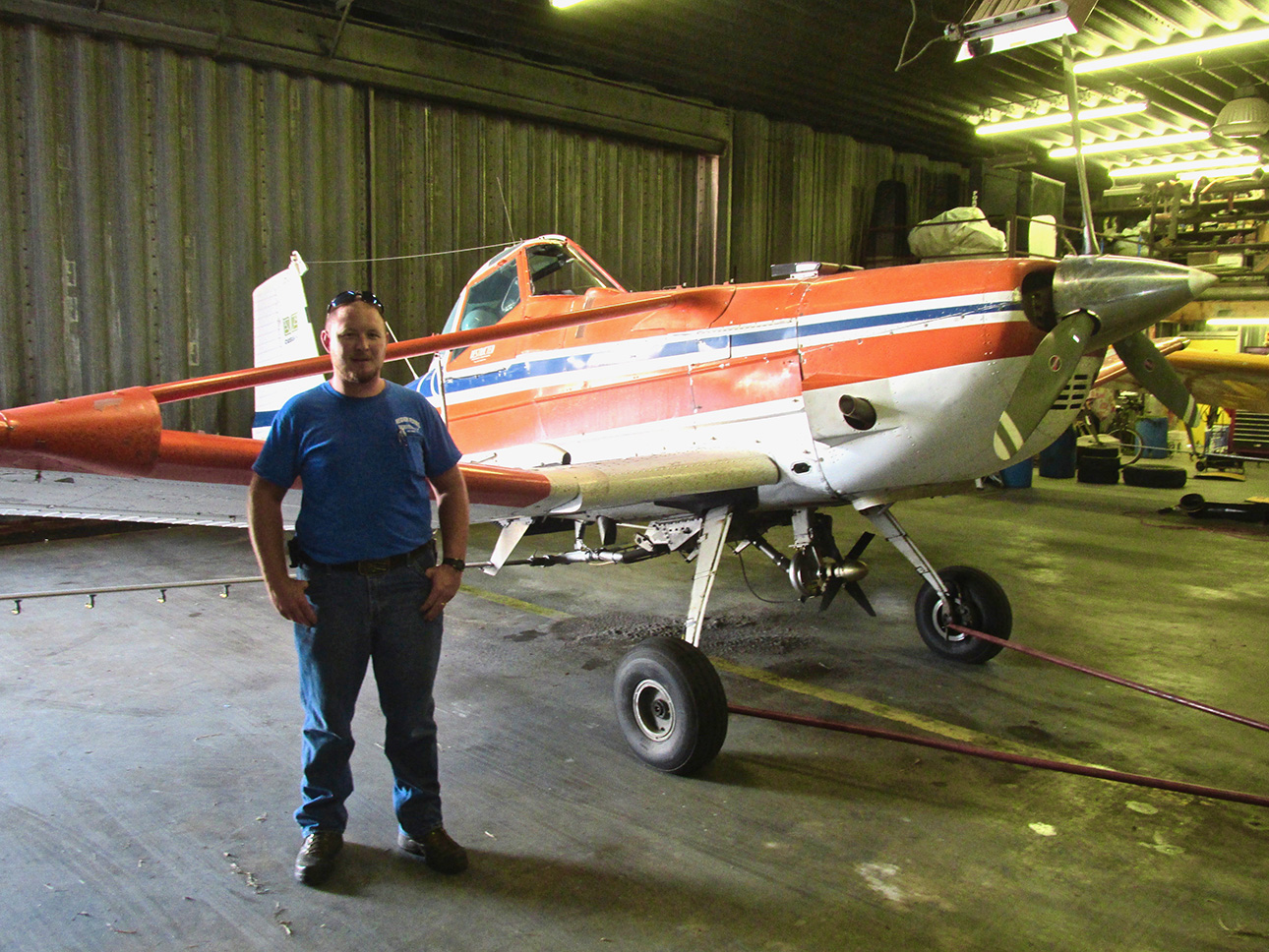
They started with a Cessna AG Truck (above) and then used Grumman AgCats for a while before getting the M18s.
Time For A Walk
I thanked the Regiers for the tour of their operation and headed out on my walk through of Fairview.
Downtown
The word “downtown” threw me back to my youth and the song of that name by Petula Clark. I doubt if Fairview’s downtown was the inspiration for that song. More likely London. I haven’t been to London but have been to many big cities. I like Fairview better.
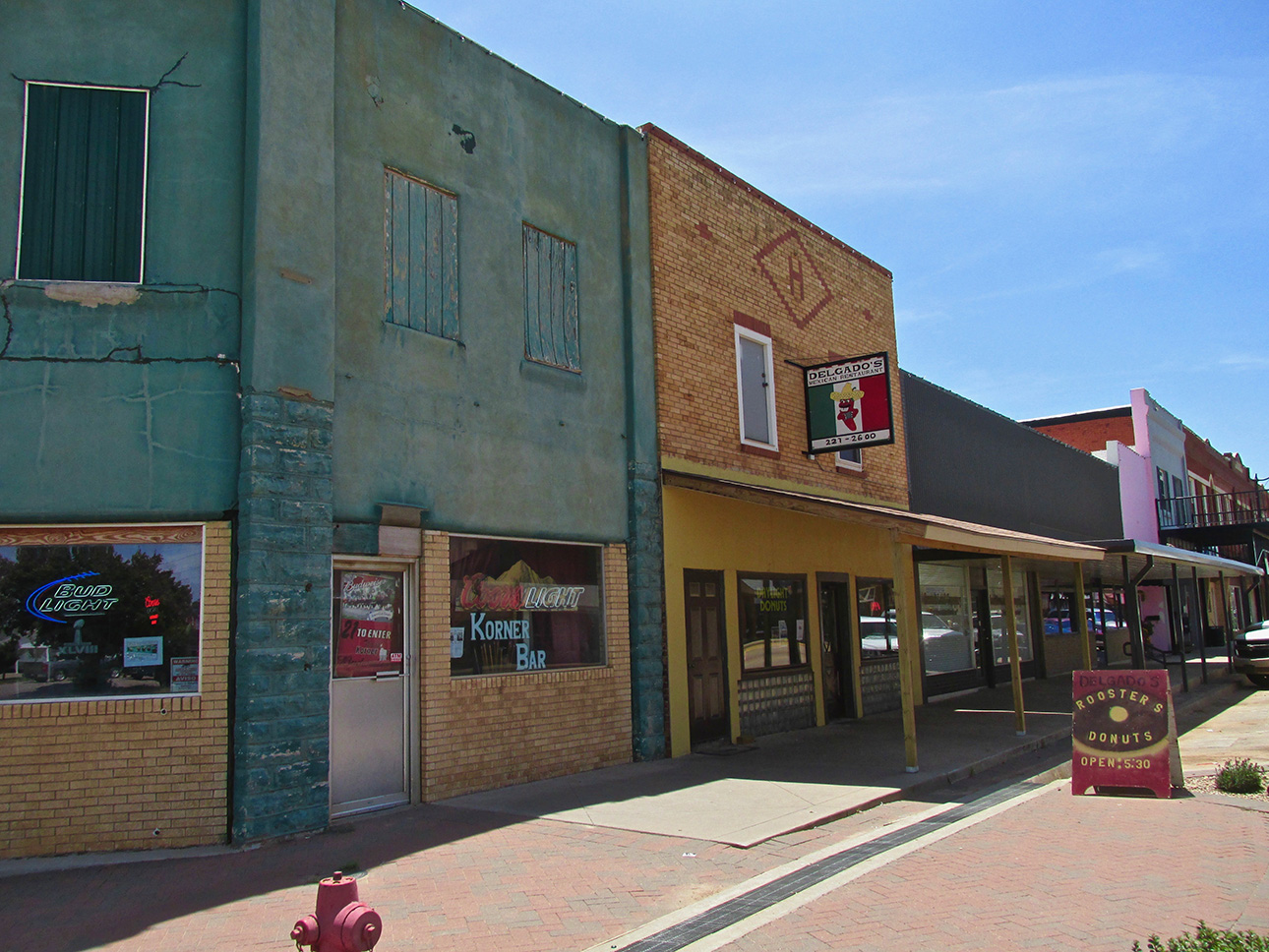
Usually I get back a bit further but I wanted you to see the corner and the nice brickwork of the building housing Delgado’s restaurant. Later in the day I came back and had lunch there. It was quite good and I am sorry I didn’t take any shots inside because there is a lot of interesting artwork and memorabilia on the walls. At the time I did not want to interrupt the lunch of patrons eating. This one you will have to check out yourself.
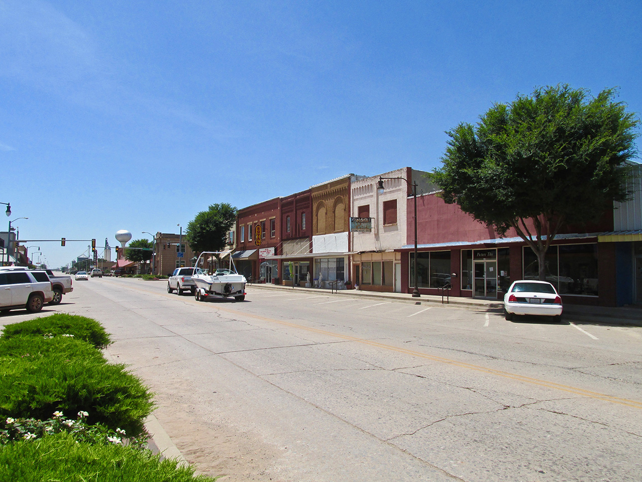
A wide main street.
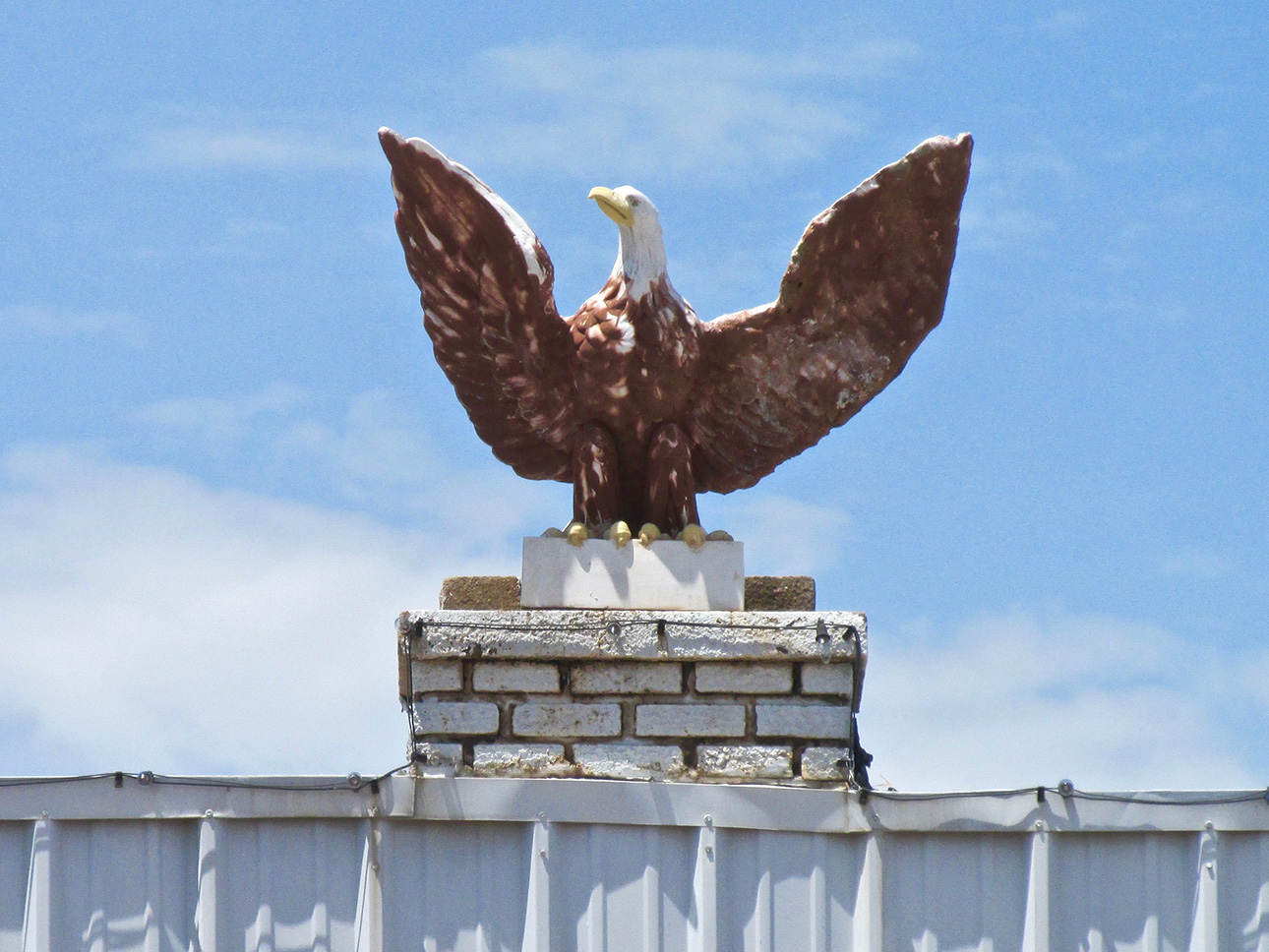
An interesting statue over one of the facades.
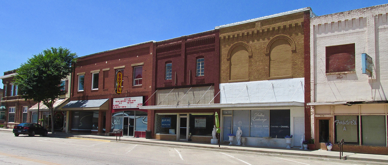
Here is a good block of buildings featuring my favorite material – brick.
The Wild West
This just occurred to me when I was insert the shot above into this story…
Pretty much all the “Main Street Buildings” in the small towns I visit in Kansas and Oklahoma are “wall to wall”. There is no space between them to cut through to the alley out back. I wonder if it harkens back to the days of the “Wild West” when Bad Guys would ambush their foes from the shadows between the buildings. This was the preferred method of gunfighting in that era – not the storied “Showdown at High Noon”.
On the other hand… This might be a way to make the most of pricey frontage on the main drag. If anyone knows, let me know.
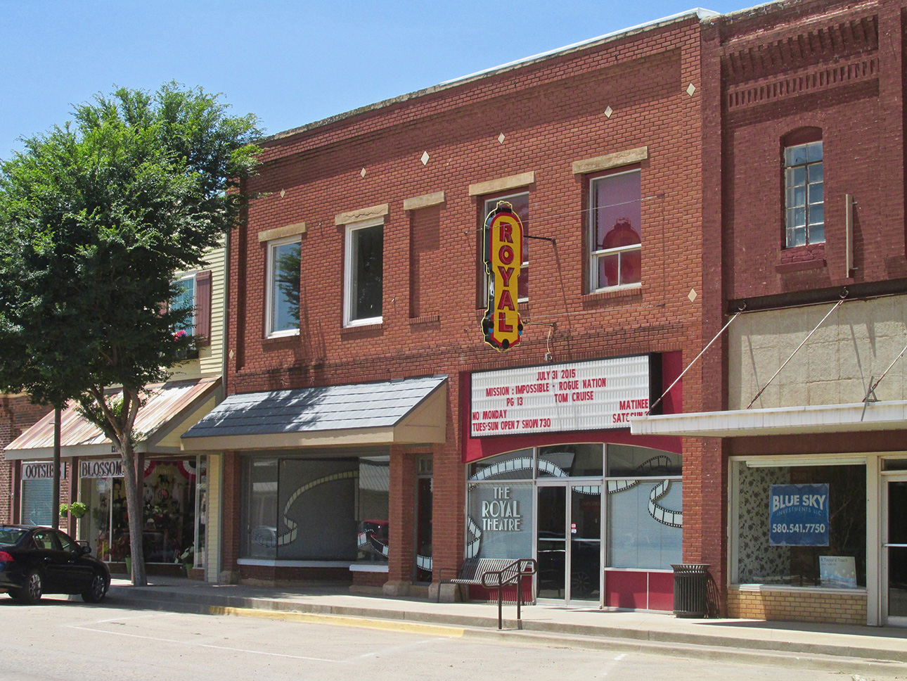
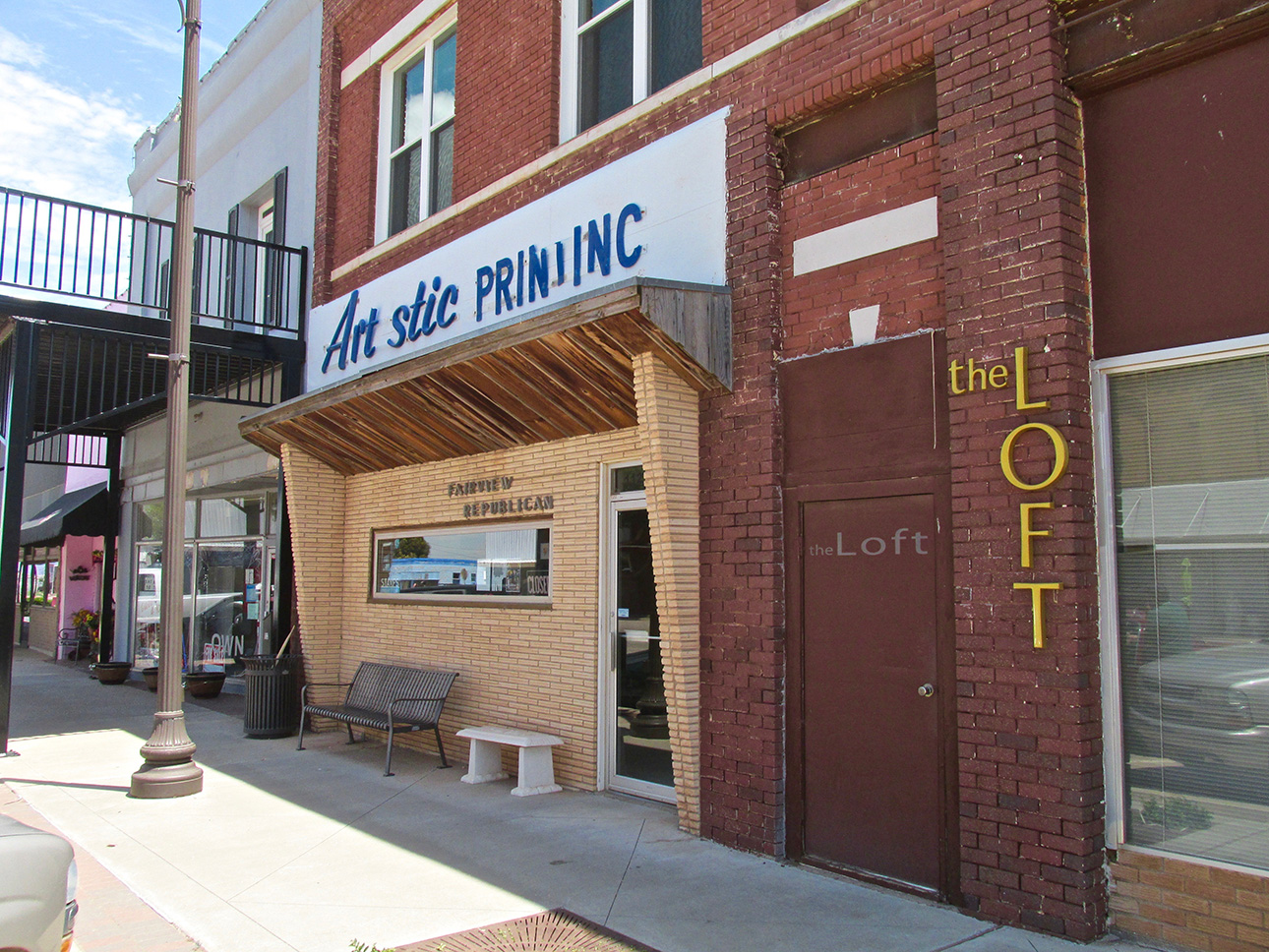
I think Artistic Printing needs to get practical about its sign. I DO like the front of their building, though.
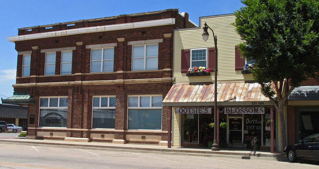
Both “Ootsie’s Blossoms” and Artistic Printing need a sign intervention.
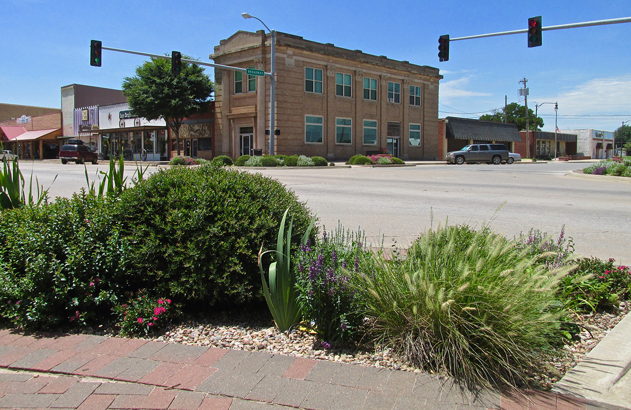
I really appreciate the greenery touch at the intersection. It bespeaks of civic pride and is an uplifting thing to do.
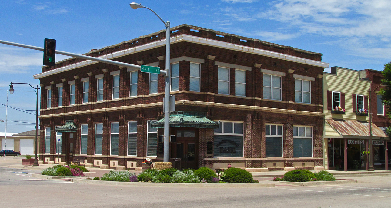
Stone, Brick and Copper Awnings. What an elegant edifice.
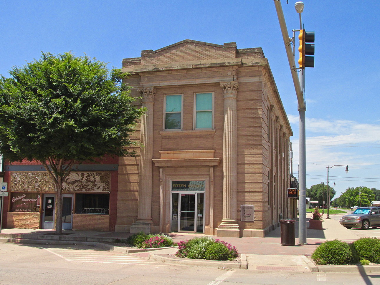
Roman Columns! Very impressive.
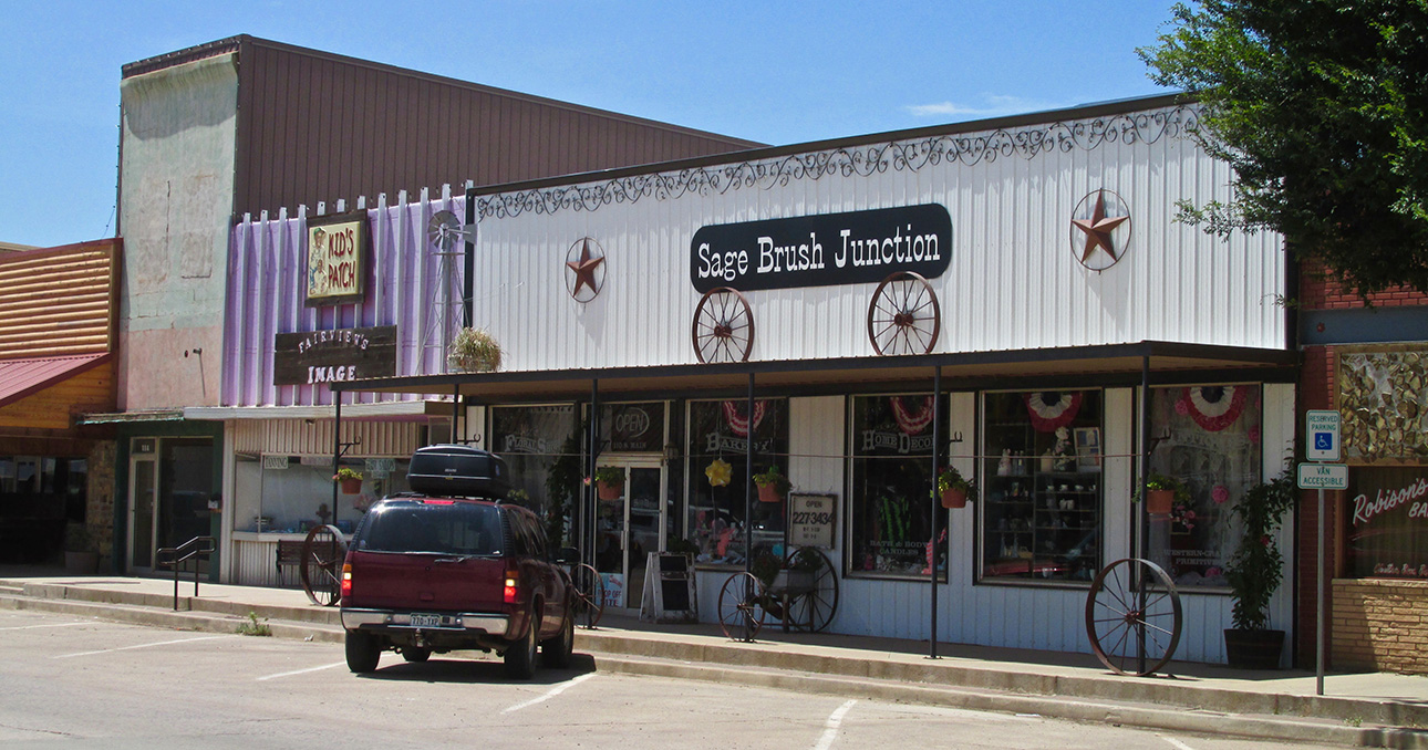
More of the home brewed artistic individuality I love about small towns. These businesses didn’t need a Madison Avenue Ad Agency to create these interesting, evocative images for them.

Modern materials molded to maintain the memory of earlier times.
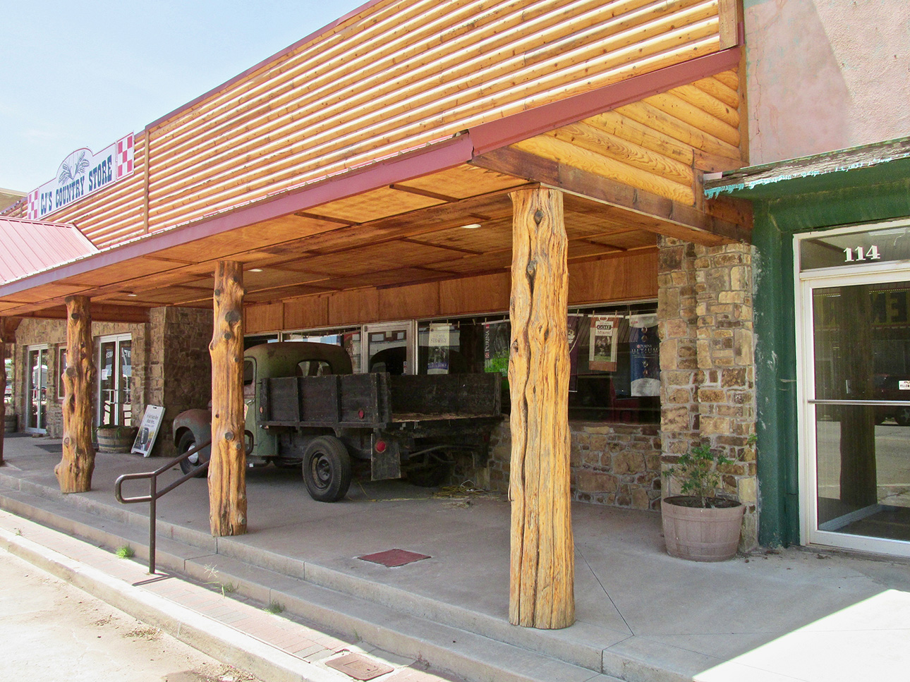
The awning design is truly inspired.
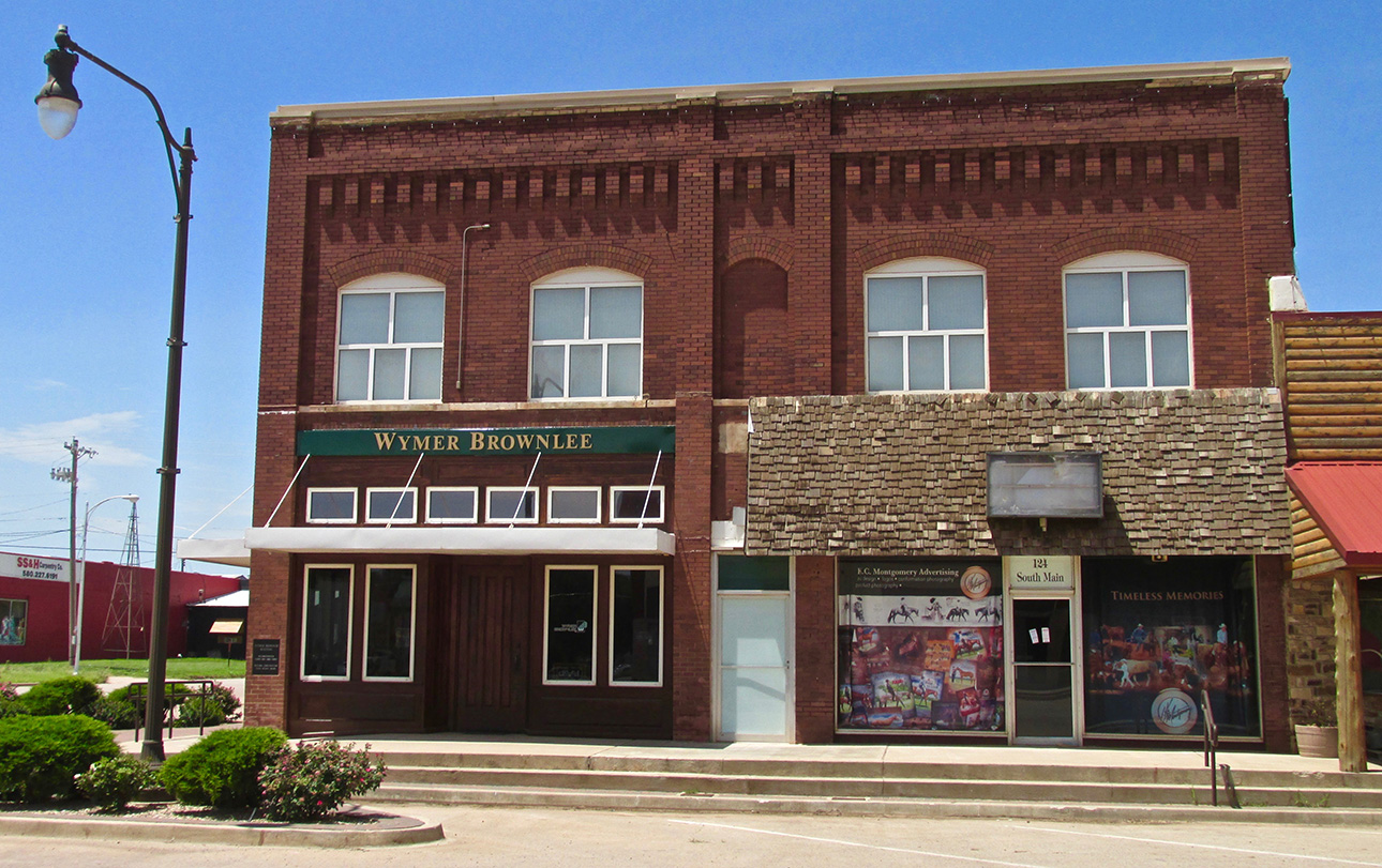
I particularly like the brick accent “crown” on this facade.
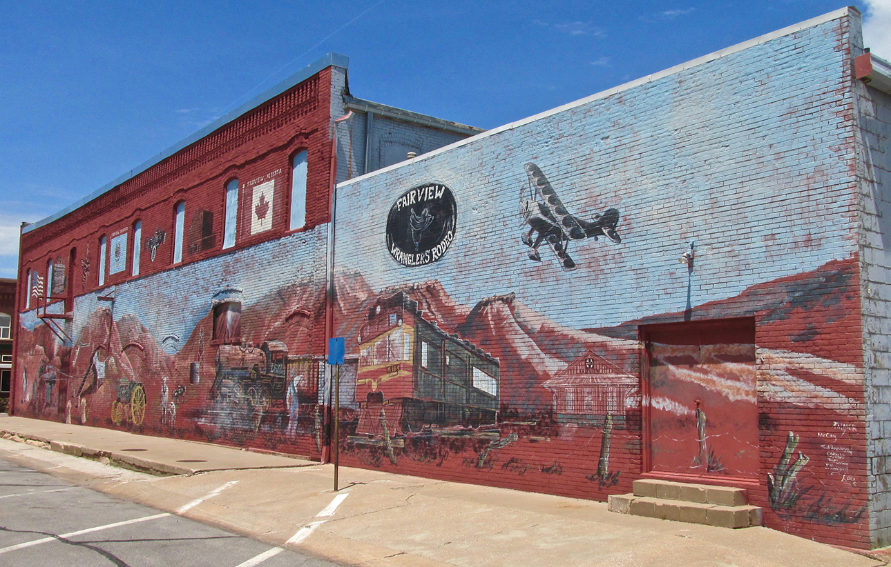
More and more I see nice mural paintings on long wall stretches such as this in the prairie towns. Most often they feature the history and special events of the town and region like this one does.
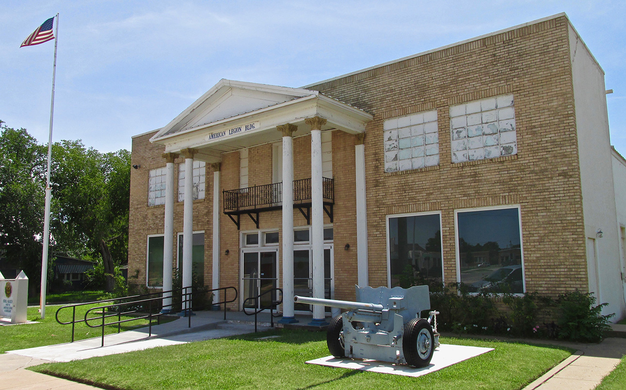
Oklahoma has a valiant history of serving this nation with distinction in all its wars since the state joined the Union.
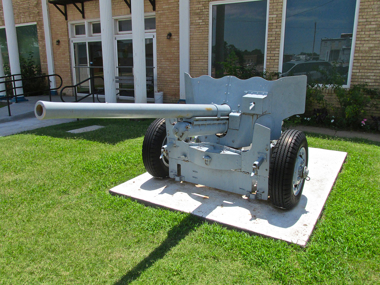
It was not posted but I think this is an anti-tank gun from WWII.

I really like the look of this Logo/Sign.
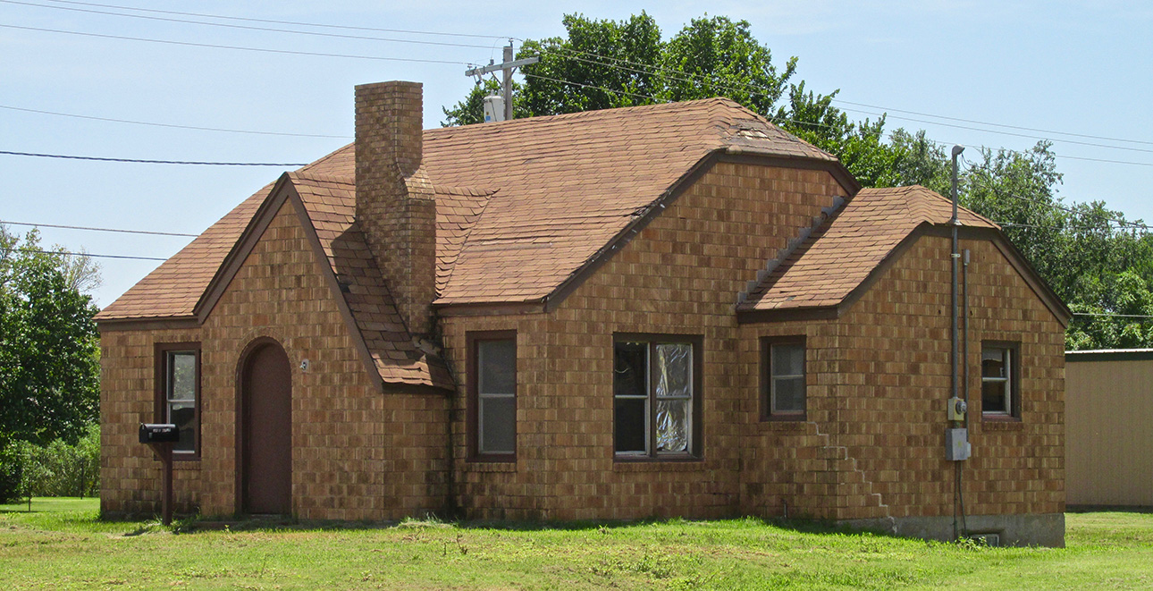
It’s a little worn but this is a very attractive design.

This is the classic auto dealership look I remember from my youth. The Jensen’s sign is an art deco masterpiece.
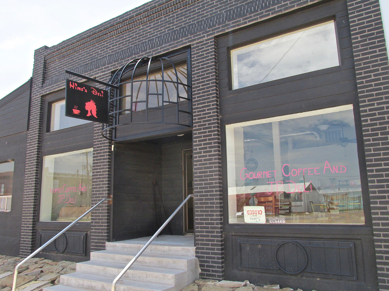
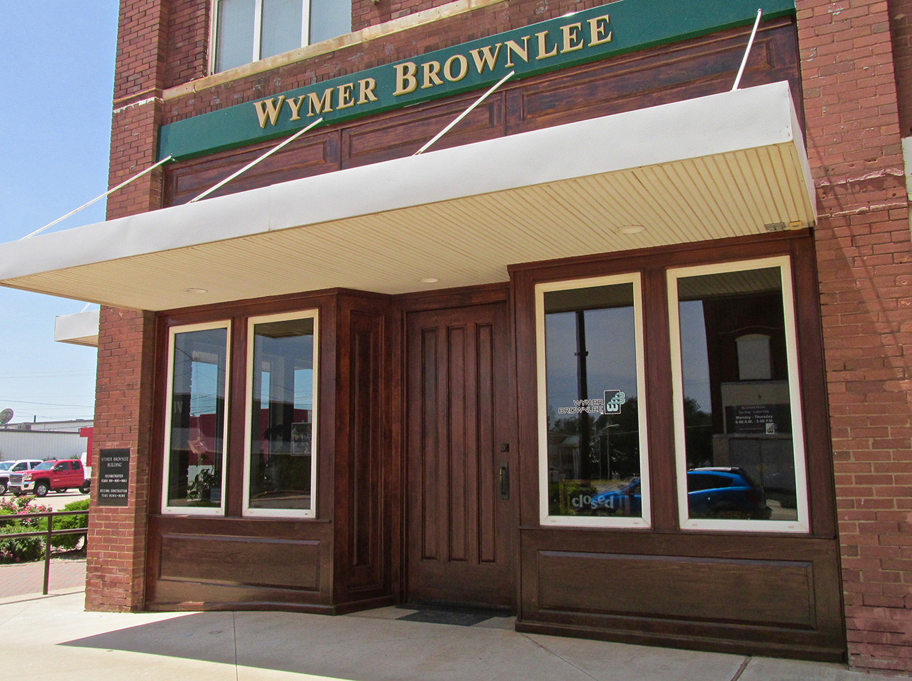
I had not seen a treatment like this before. The rich wood with the awning make for an elegant entry.
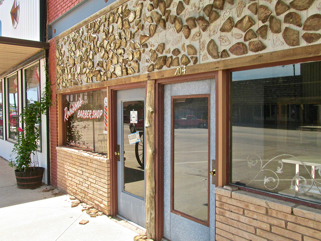
This is really different. I suggest you don’t slam the door when you exit the barber shop!
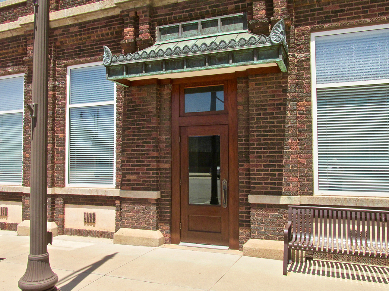
This is nice!
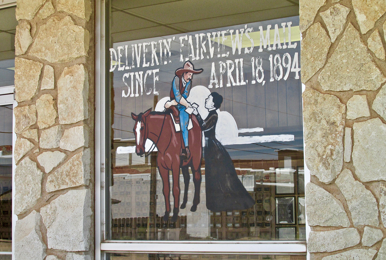
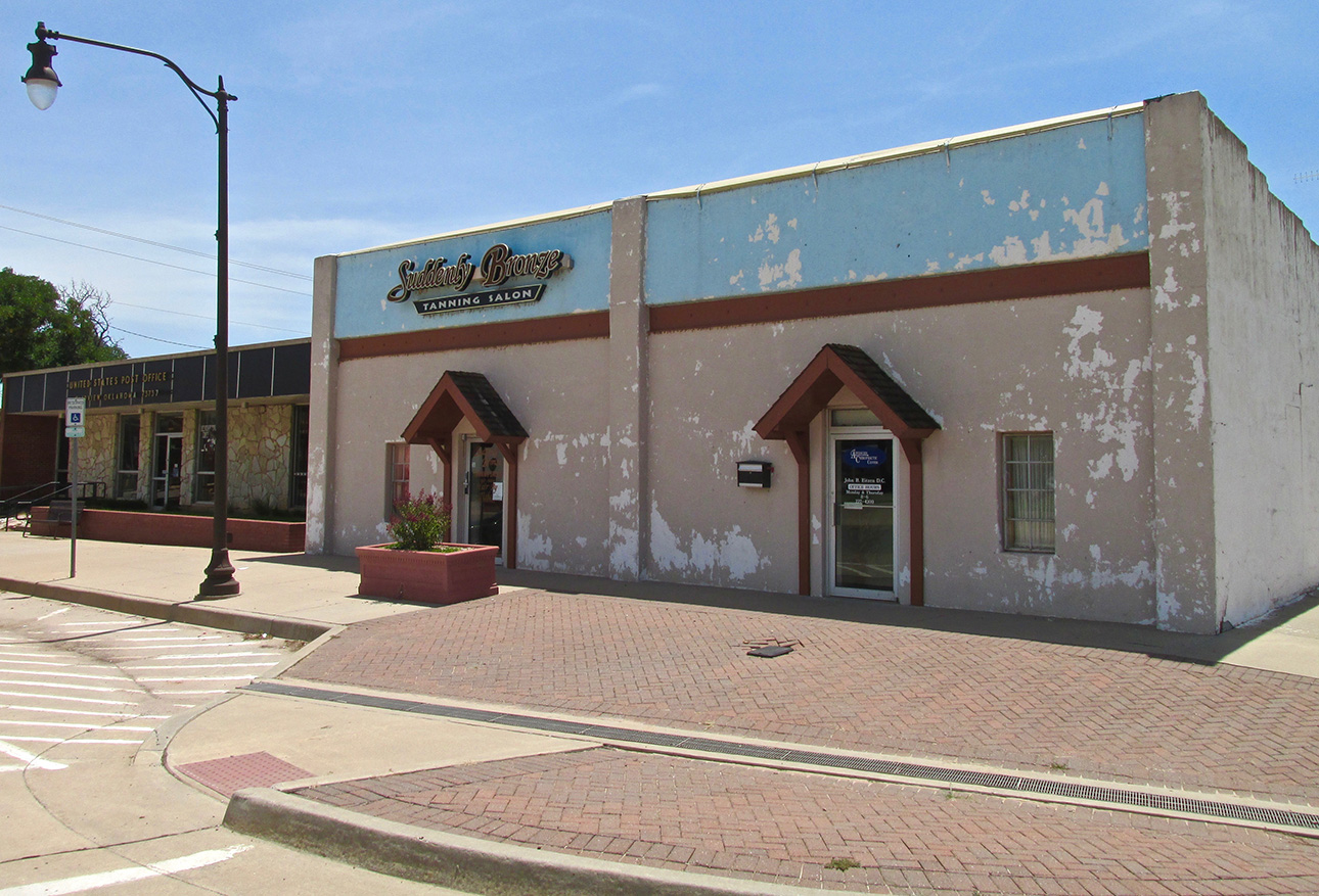
On first impulse you think it needs some paint but the more I gaze at it… it looks fine the way it is…
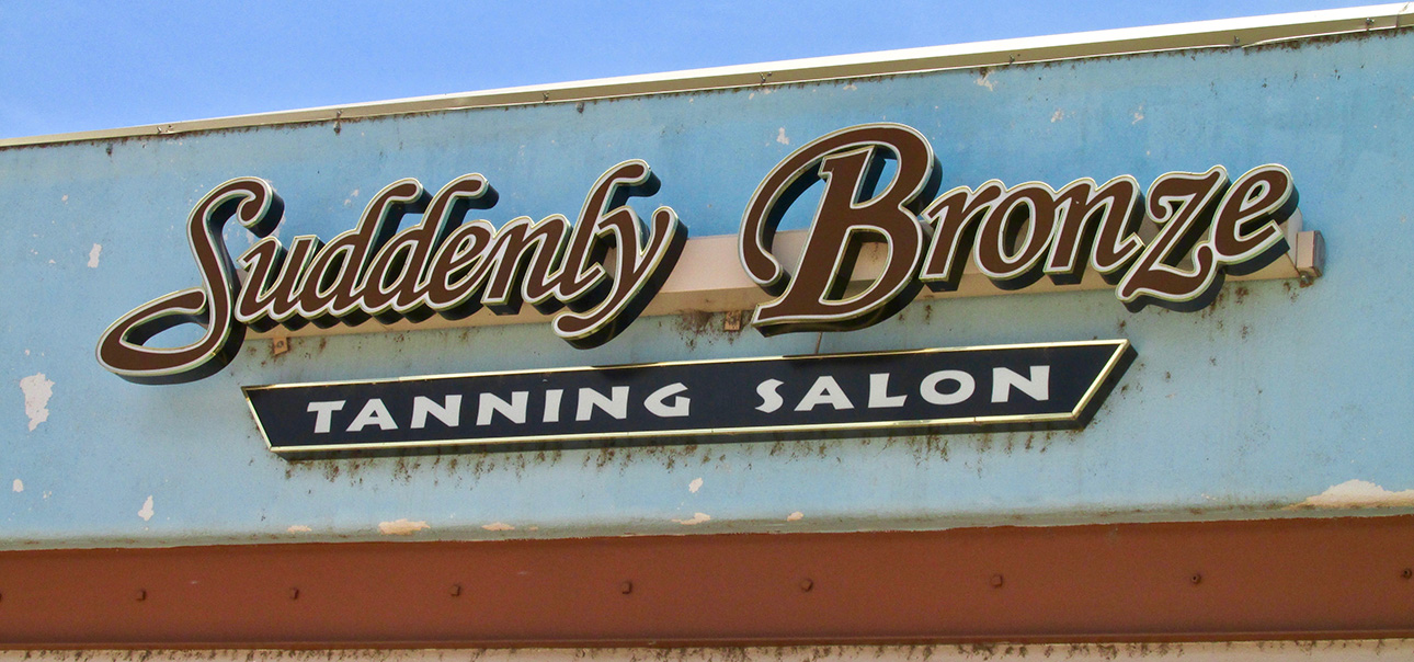
Whoever does the business signs in Fairview gets Two Thumbs Up from The Sky Surfer.
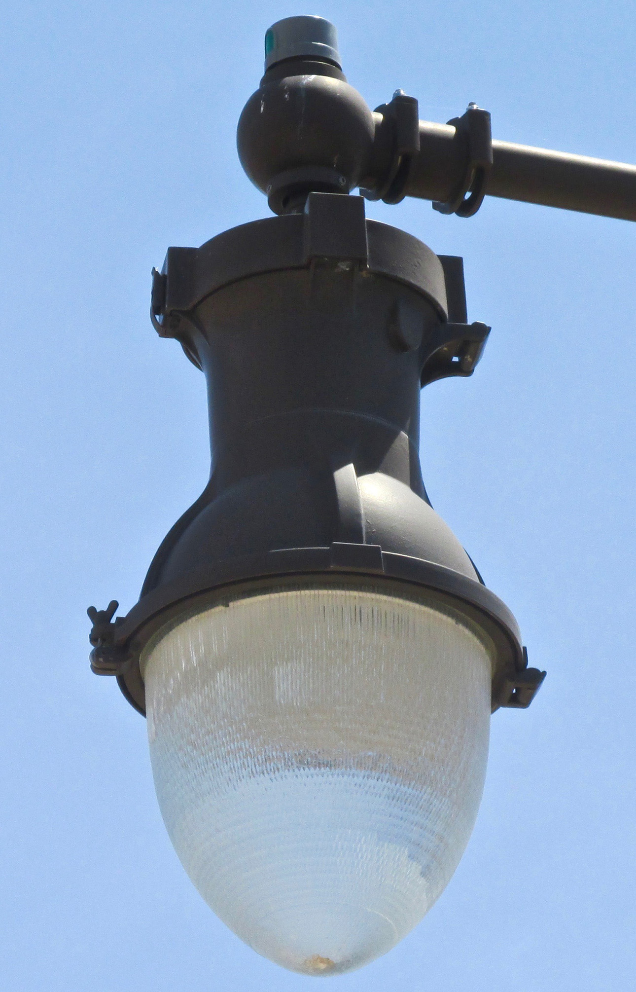
These chunky metal street light fixtures beat the sterile, molded light emitters you see in the cities.

These copper awnings give Fairview’s businesses a unique look on the Great Plains.
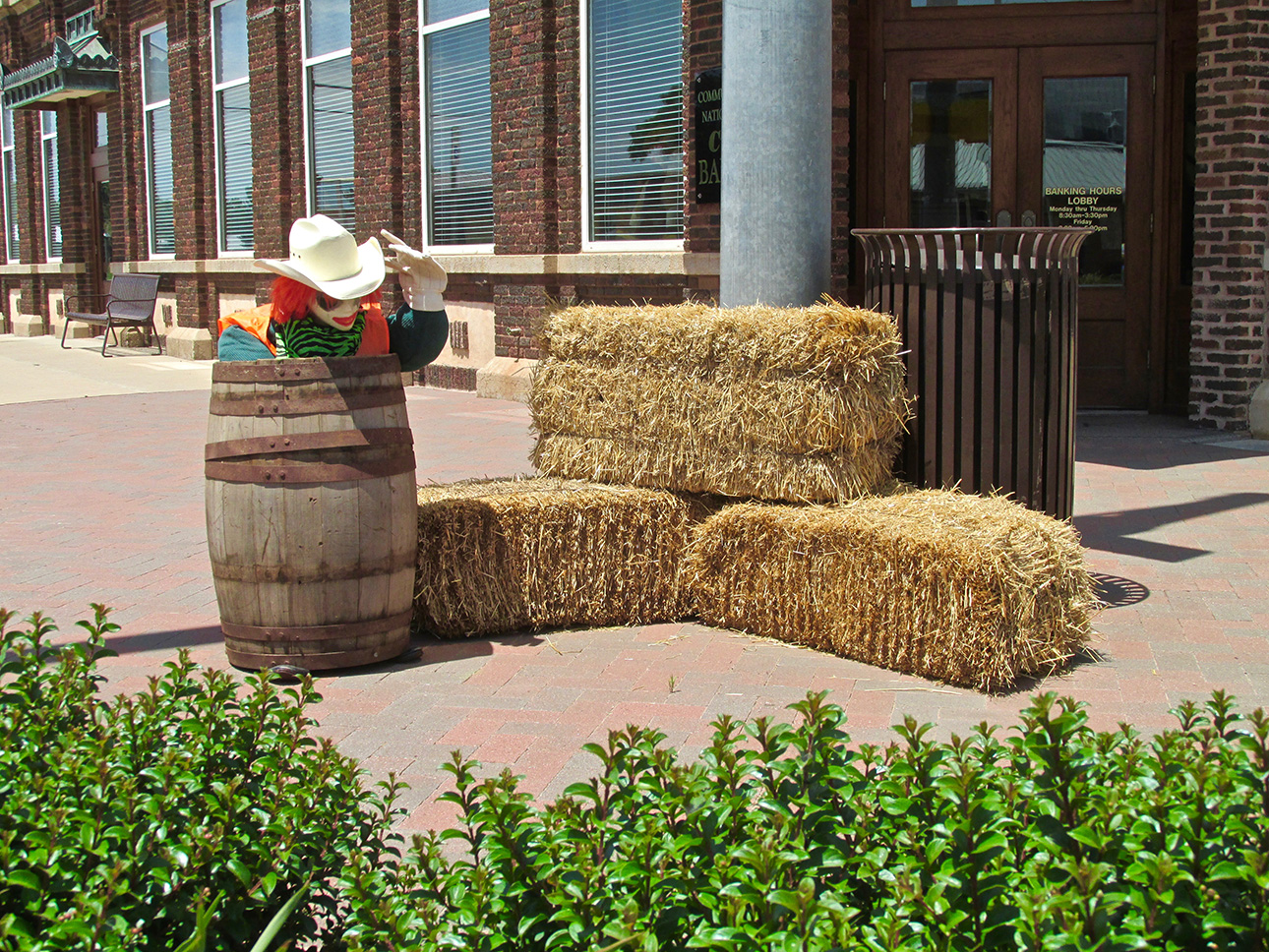
Rodeo Soon!
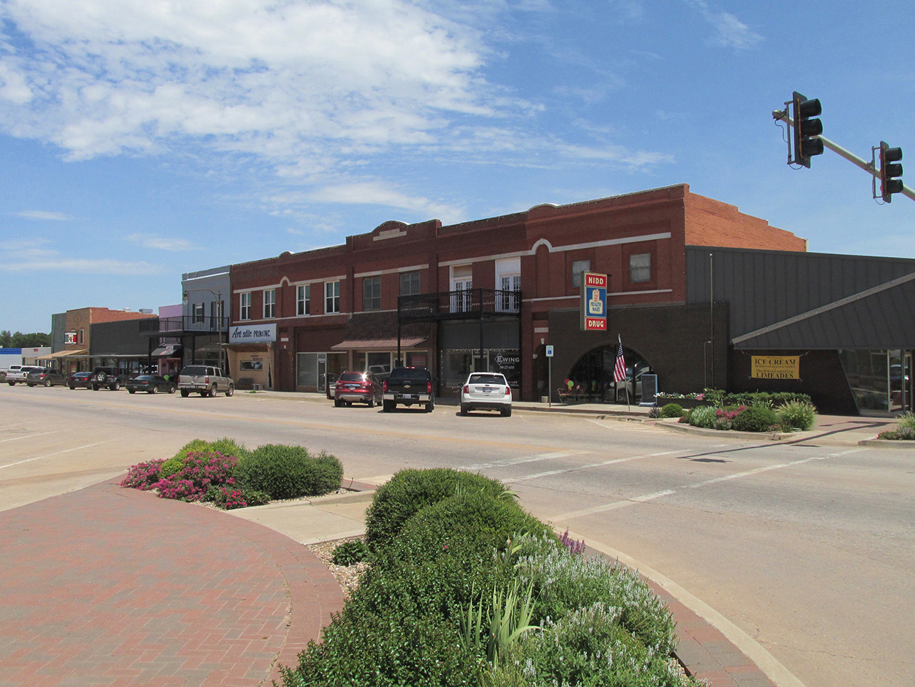
Another view of the curb greenery that graces the downtown intersections.
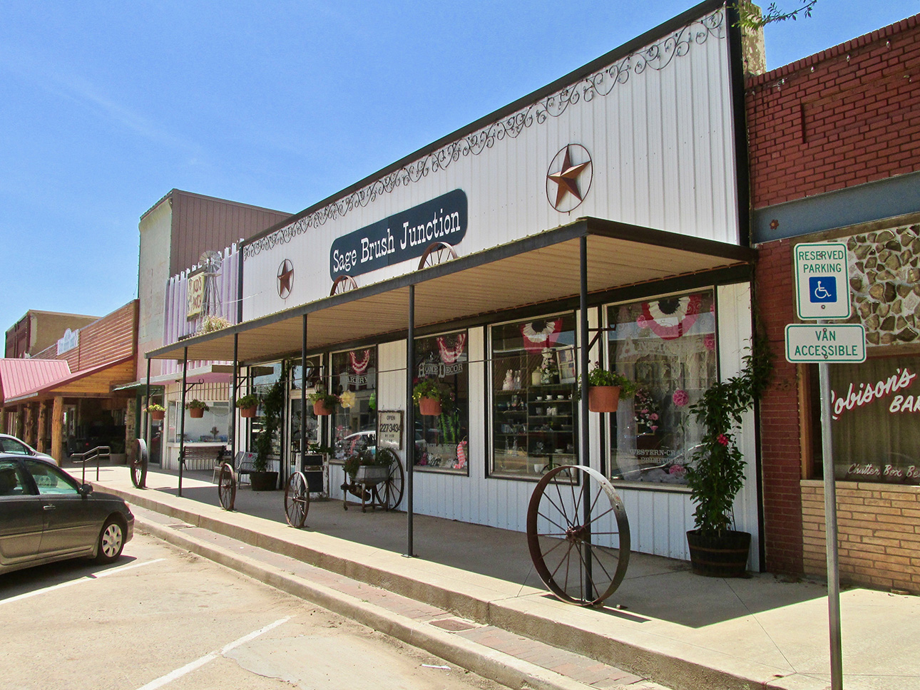
A better shot without cars blocking.
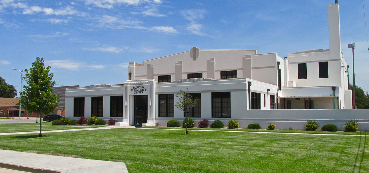
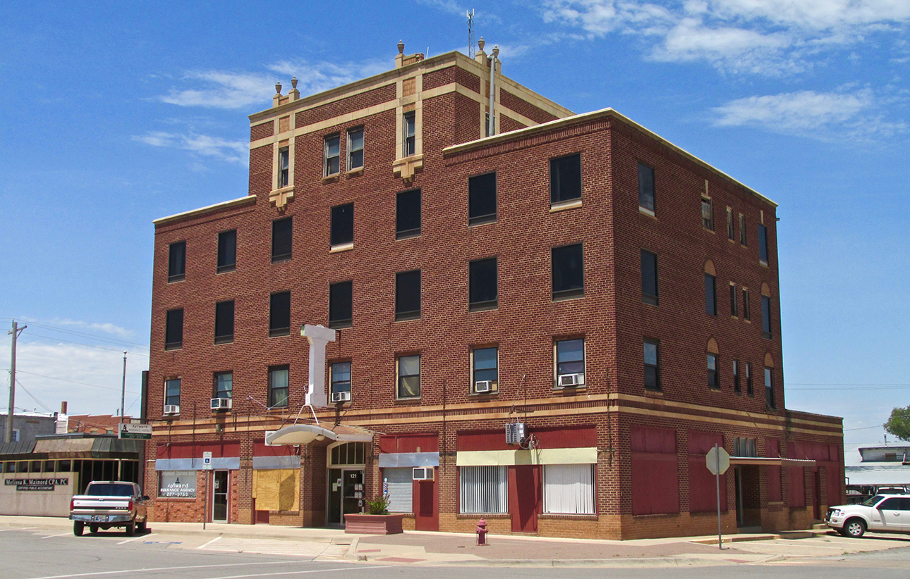
This building is near the City Hall and the Community Center. It appears to be mostly unused but retains a sophisticated look with its stone trim.
From Business to Dwellings
In case someone stumbles upon a story in The Flite Blog™ without prior knowledge of my schema, I deem it necessary to provide that each time. Here it is…
What I have shown so far of Fairview was the way I came upon it at the moment I was there. Most of my excursions around different towns are on foot, although there have been a few that I availed myself of the airport courtesy car. In either case, I make a point to go to the main street or town square first, cover it, and then head into the first evidence of domiciles. As I encircle the town before landing, sometimes I will notice something of interest from the air that I will try to locate while exploring. That happened here in Fairview and we will see it soon enough…
Next, though, let’s see how folks live here.
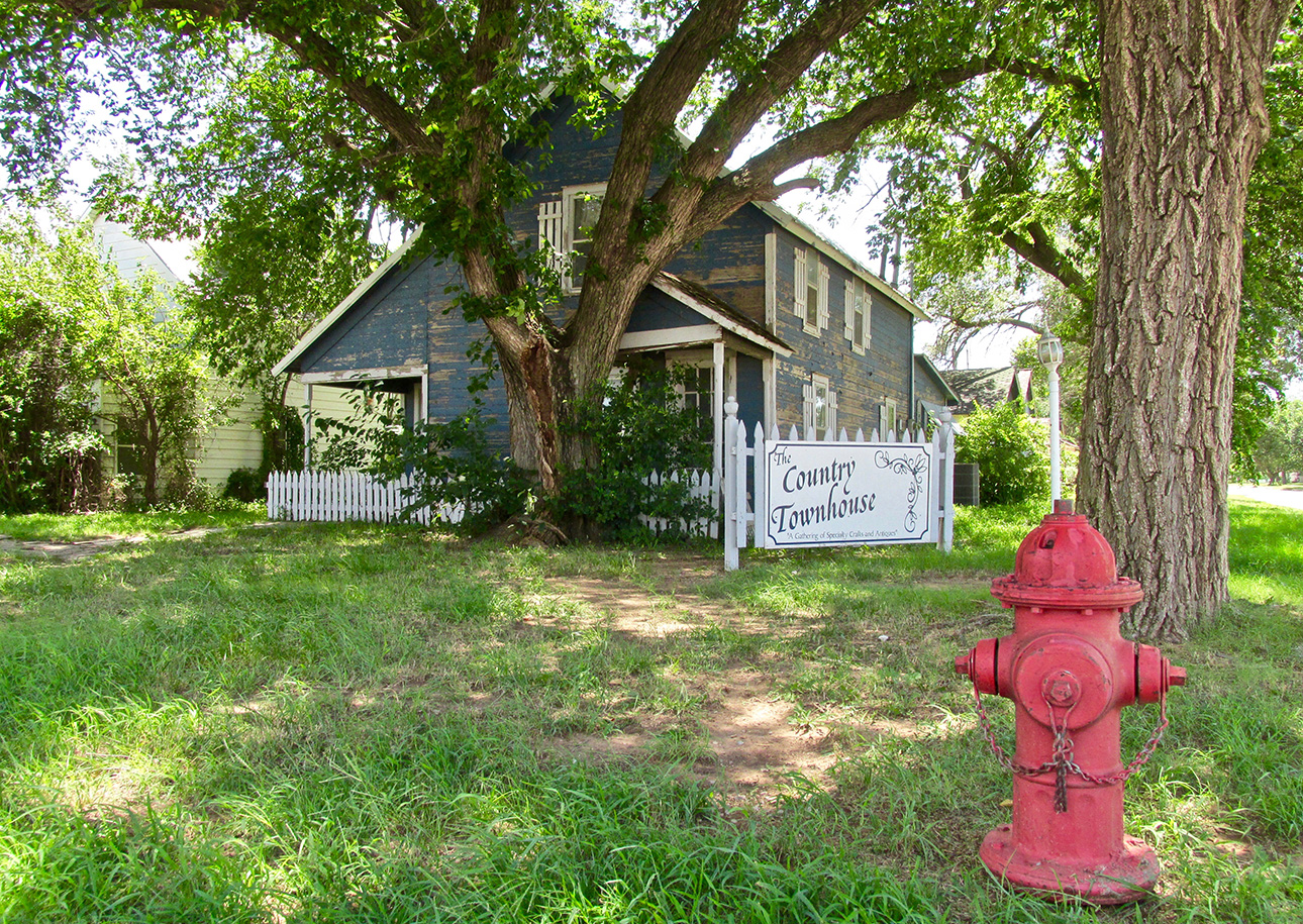
The house needs a little care but has a nice sign and a bright, red fire hydrant.

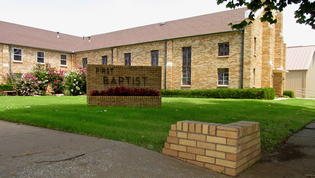
A nice design with well-kept grounds, I was particularly drawn to the name. My Family were members of Wichita’s Central Christian Church for about 20 years. We now belong to Wichita Bible Church.
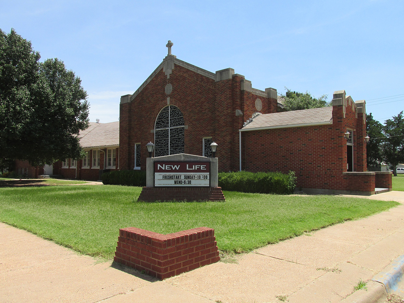
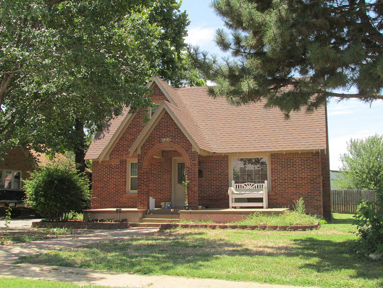
Brick houses always get my attention.
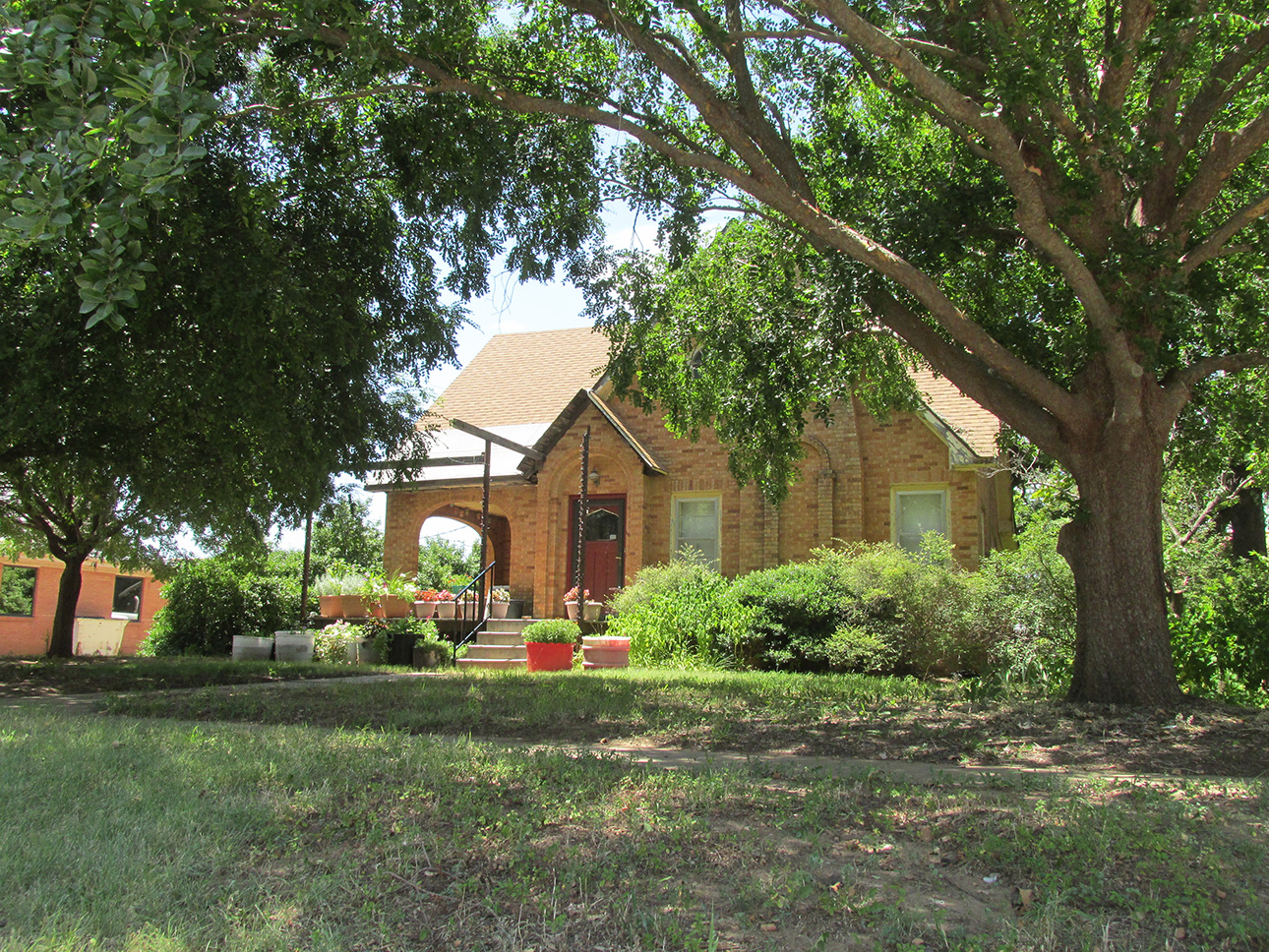

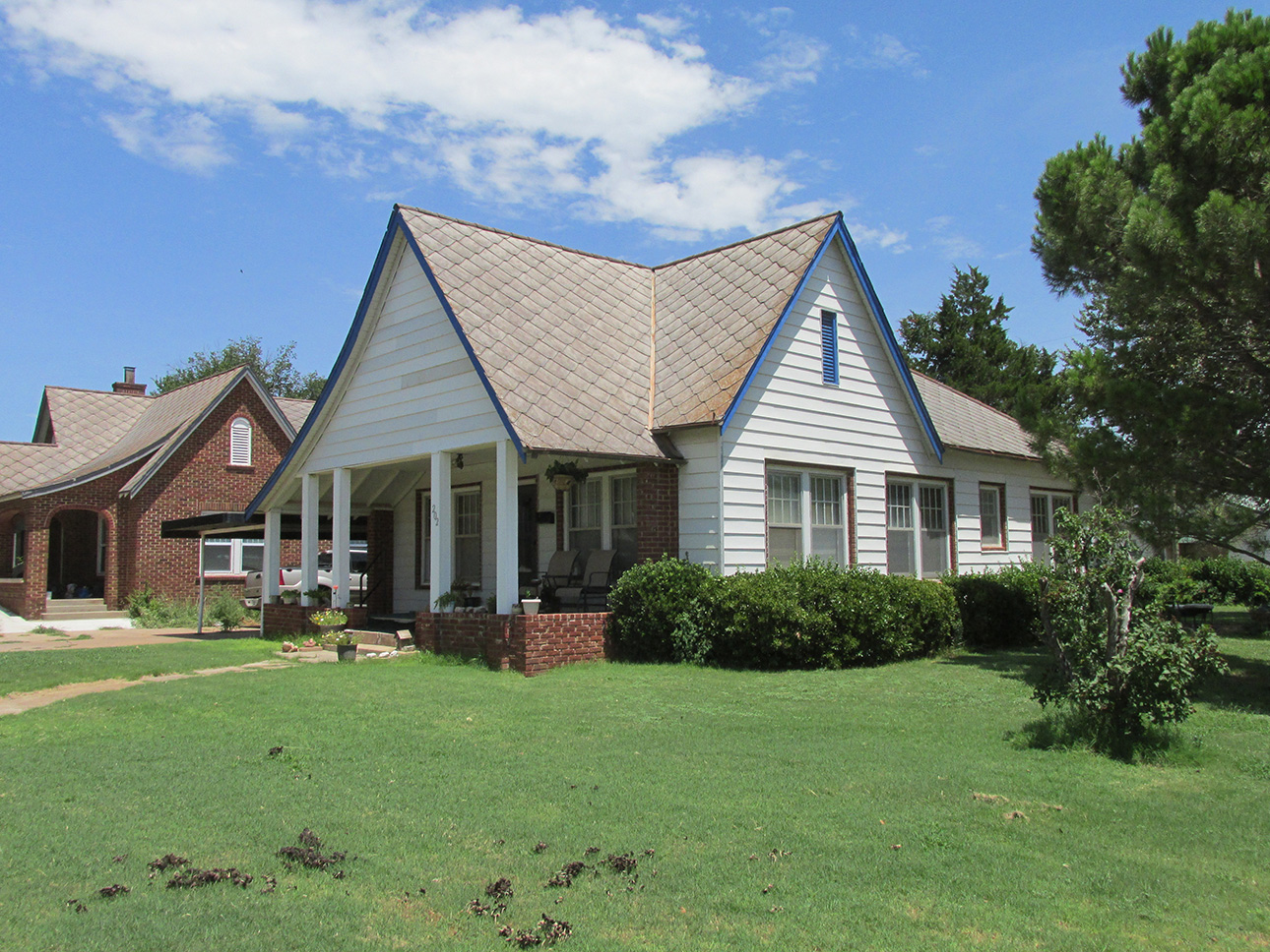
I was drawn to the unique “scale” roofing on these two homes.
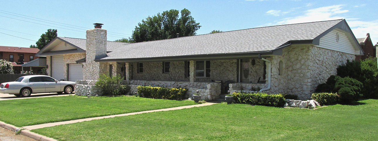
Very Creative!
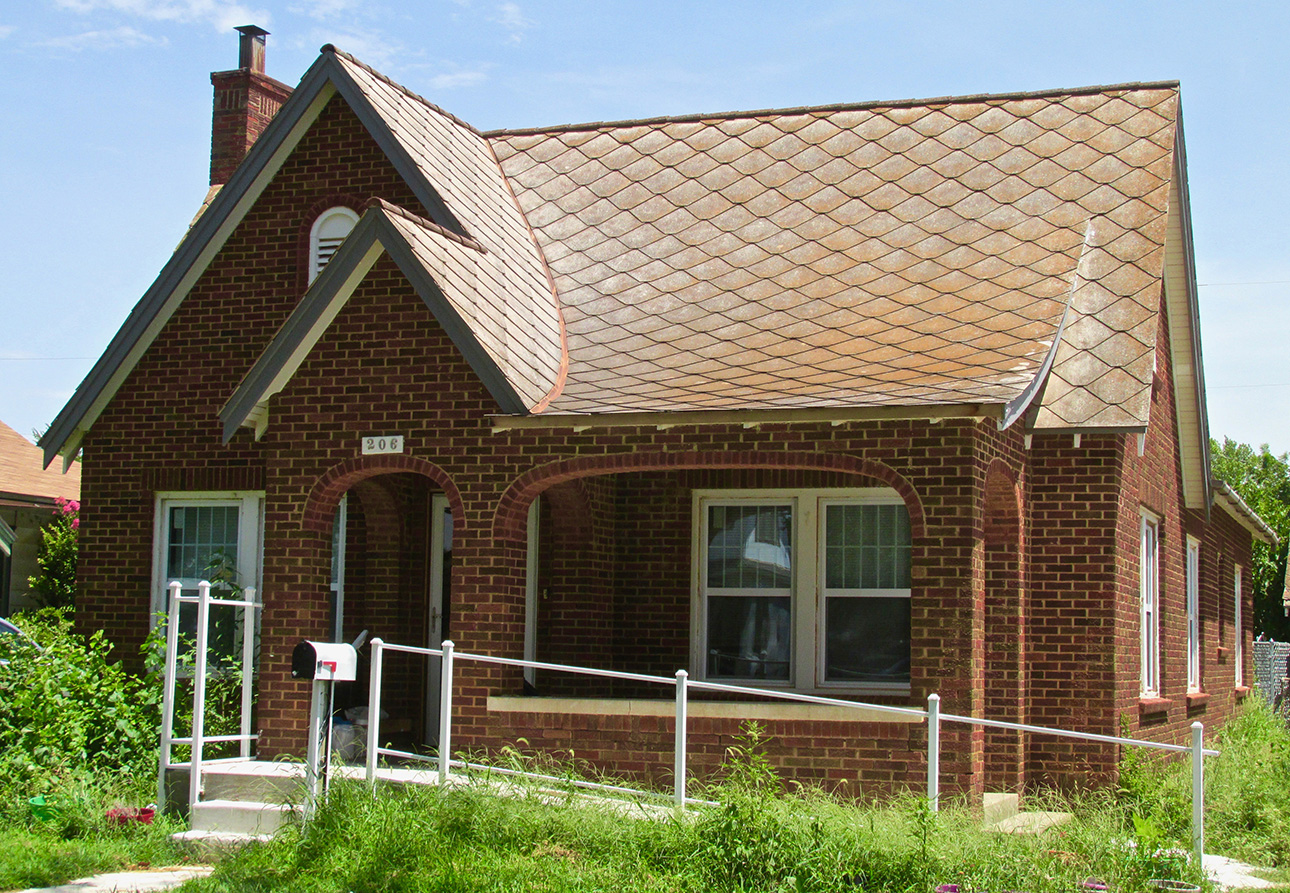
I decided to get a solo shot of this brick house with the unique roof. The owner was inside and saw me. He came out wondering why I was photographing his place. I told him what I was doing and gave him one of my “Sky Surfer” ink pens and he decided it was OK.
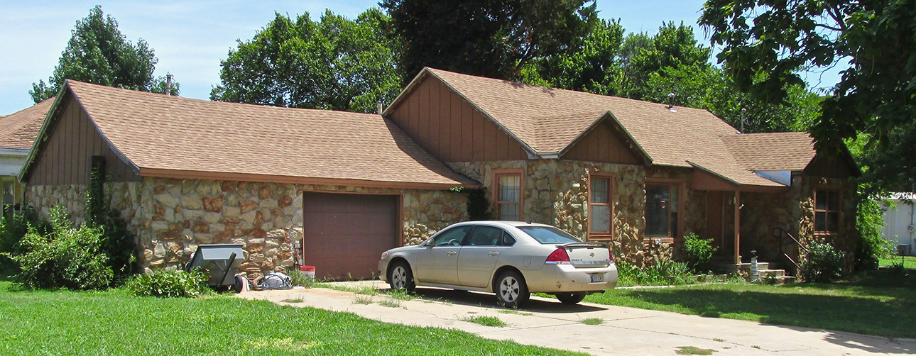
I wonder if the same guy built both of these “stone houses”. It is no mean feat to position stones in this manner and make it look as good as this. This house uses mixed colors, too.

Back Into Town
This Trip’s Aerial Quest
Earlier I hinted that I saw something while circling Fairview that peaked my interest. I finally stumbled upon it as you will see next.
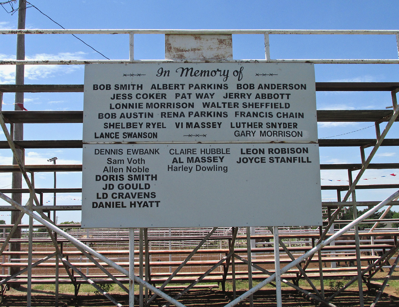
While circling Fairview to take pictures before landing, I was at about 1,000′ AGL. I saw the arena well enough to know what it is but what really drew me was what I will show in the next series of shots…
Before we get to that, though, I need to address the sign above. Since there was no one on two legs around whom I could question about this, I called City Hall after returning to base. I was told that these were supporters of the rodeo over the years. Some were participants and others contributed in other ways. Because the “In Memory of” can be construed in more ways than one, The Sky Surfer didn’t want to tell you all these guys lost their duel with The Bull. It sure could happen, though. I have been to “Bull Riders Only” shows and can tell you “Better Them Than Me!”.
Bad Mohandros
“Mohandro” is a term I inherited from Car Salesman Extraordinaire Steve Ball of Wichita. Early in my ad career, he was the Truck Manager at a Chevy Dealership I did advertising work for. He and I did many, many TV and Radio commercials together and we would refer to anything/anybody truly impressive (car, truck, Baseball Player, fighter plane, etc.) as a “Bad Mohondro”. I think he coined the phrase because I have found no etymological antecedent for it.
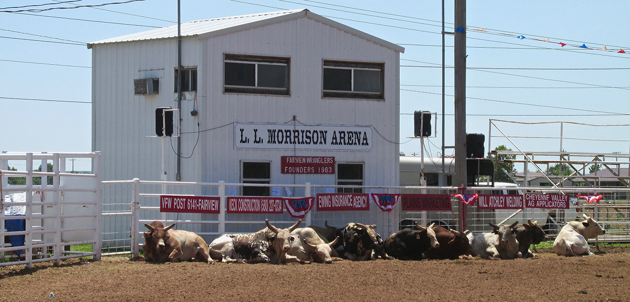
From the air I could see this considerable herd of bulls trying to find respite from the hot sun. Maybe they are left out like this to get them into a bad attitude before the show…
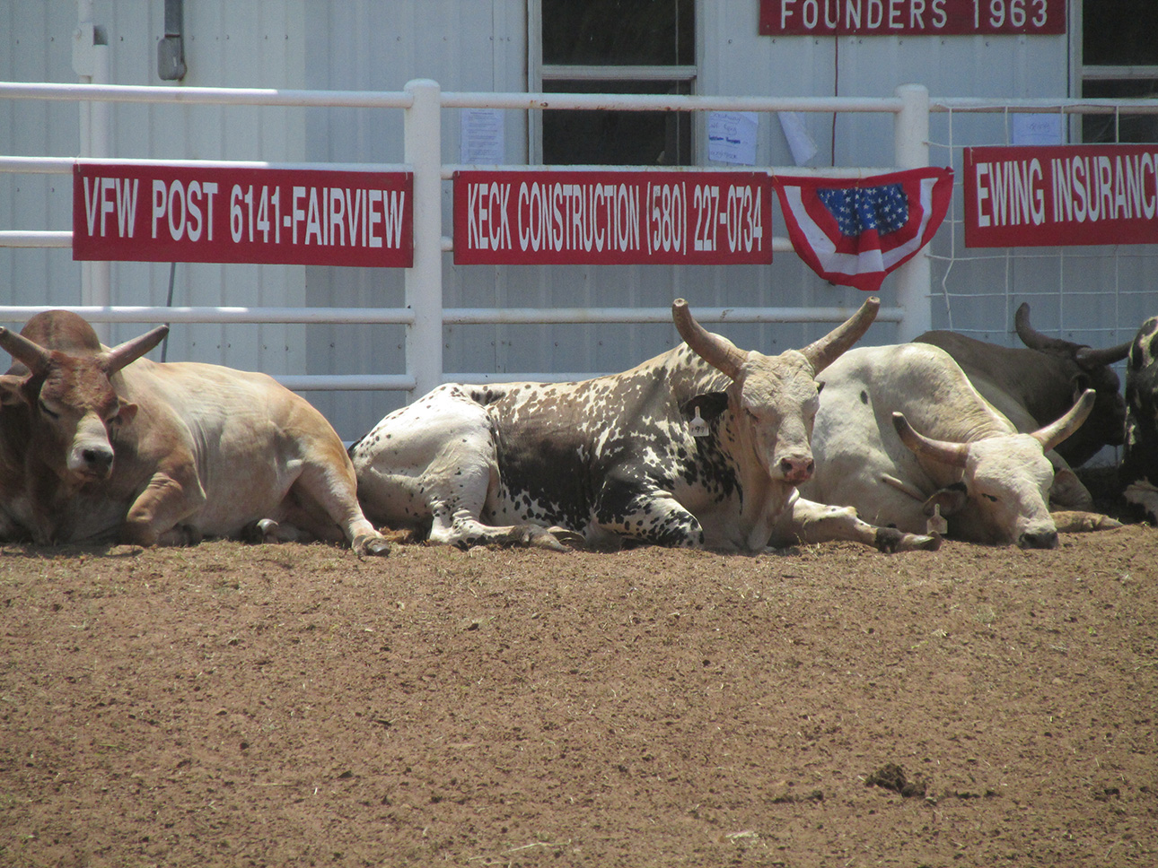
These first two shots were done using the telephoto lens from about 40 yards.
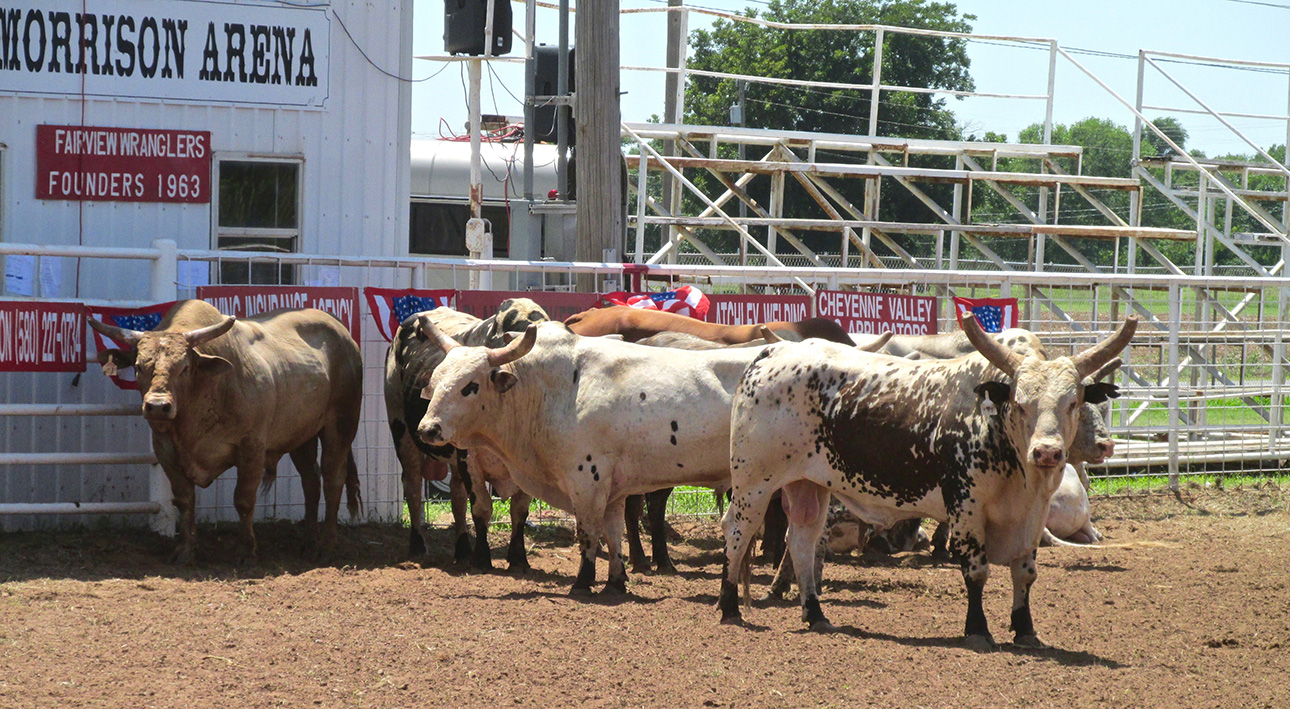
As I quietly approached to get some closeups, they stood up.
Time To Move On
Bein’s how The Sky Surfer was from out of town, I did not want to be the “city guy” who dropped into town and riled up the beasts causing them to bash into the fence and break a horn or something. Back to my tour…
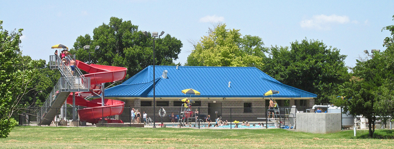
This was the place to be on that hot, July, Summer day!

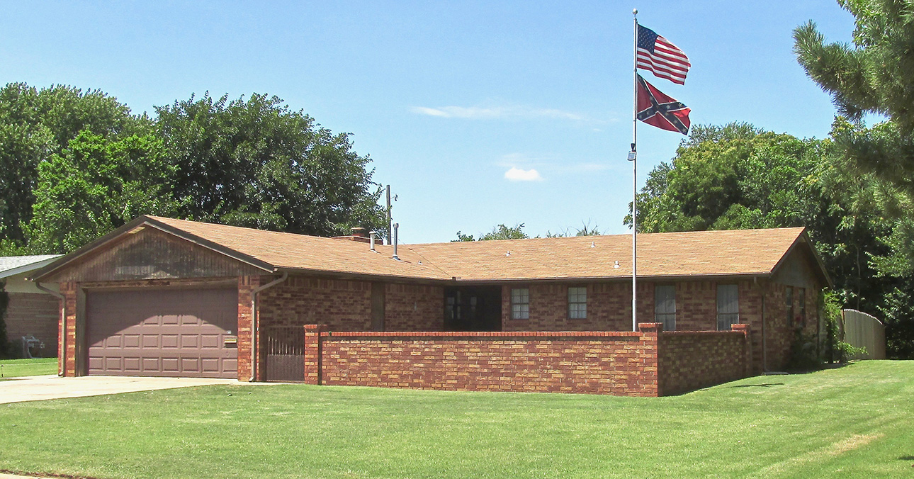
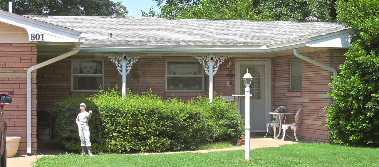
Unique in my travels, this was the first time I’ve seen rose-colored (pink?) stone used for a house. It is very attractive, though.
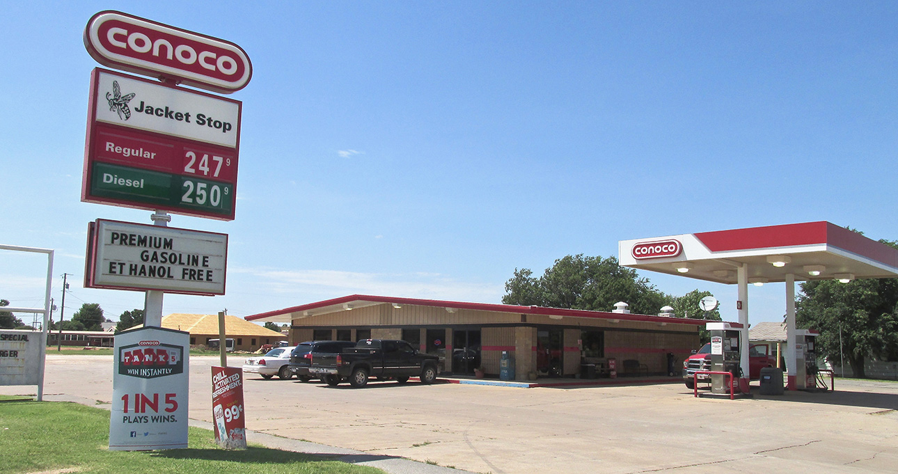
The (Yellow) Jacket Stop – The Yellow Jackets are the High School Team’s name.

Minnie at The (Yellow) Jacket Stop
The Sky Surfer has never been concerned about the relatively recent dictate that we must always “stay hydrated”. To him it is just another blackboard scratch from the devolving Western World’s cadre of “scolding nannies”. Just another of their unending, questionable insistences such as making all kids wear helmets and various knee and elbow pads just to ride their bikes around the neighborhood. Or, any of a thousand “food intolerances” they continuously discover – lactose, peanut, etc. It is my sneaking suspicion that these “diseases” are psychologically based pseudo-ailments promoted by a lazy corps of “medical journalists” eager to trumpet the latest “discovery” buoyed by compatriot health food and/or medical vendors eager for another revenue stream. The mind can negatively affect the health of the body through the mechanism called “psychosomatic illness”. You may not see the connection, but The Sky Surfer senses a thin thread tying all this together. I rest my case.
Primarily, the reason Surf does not drink a lot before and during a Safari is due to the Quicksilver having no restroom. Experience is a brutal taskmaster and this problem was discovered the hard way during early Sky Safaris – several times precipitating “off field landings” in hay fields – under great stress…
The third time was the charm. After that, Surfer made it a Checklist Item NOT to drink coffee while getting ready for a mission and NOT to drink anything while touring a town. But… About eight hours into that hot, hot July day of The Fairfield Adventure, Surfer had to make a Command Decision to countermand the General Order on liquid consumption. Thus we found ourselves standing in front of Minnie at The Jacket Stop getting a Dr. Pepper (above).
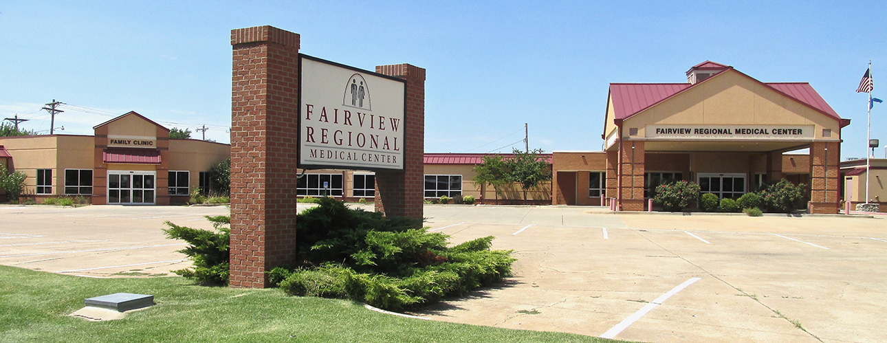
Time To Go
There were more things to see in Fairview but it was mid afternoon as I took the final “ground level” shot of Fairview, this of their Medical Center. Interestingly, it looked like nobody was sick and nobody was working that Saturday…
A Break From The Ordinary
Having written a number of Sky Safari reports, they have become formulaic. I think it is good that I have established a method so I cover what needs to be seen and talked about. First, I show you the plane before takeoff. This is to test my ability to make the same shot look different and interesting each time. Then, I show you what I see on the trip to the town. Then, I walk around the town to show you what I see in the short time I have available. Then, I saddle up and hit the air. Quite often taking a final “Goodbye” aerial shot, I don’t photograph much more until I land. That is because most of what I pass over on the way home, we have already seen first thing that morning.
This Time Is Different!
While circling Fairview that morning it was a little hazy but I noticed some very interesting topography Northwest of town. Most unusual, there seemed to be sparkles coming from the area as if someone were trying to get my attention with a signal mirror…
After tying down at the airport, I asked The Regiers about it and at first they drew a blank. When you live in an area all your life, your surroundings become mundane no matter how fantastic. After I described what I saw again, I could see the “light bulb” switch on over Junior’s head. “Oh! You mean The Gloss Mountains!”. Yes, indeed.
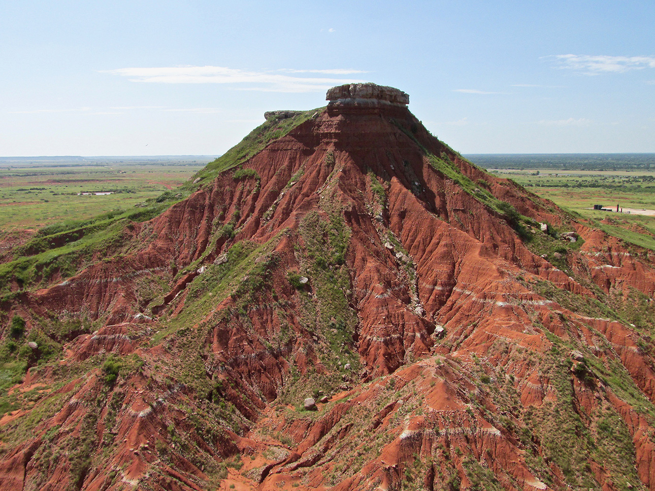
The Gloss Mountains
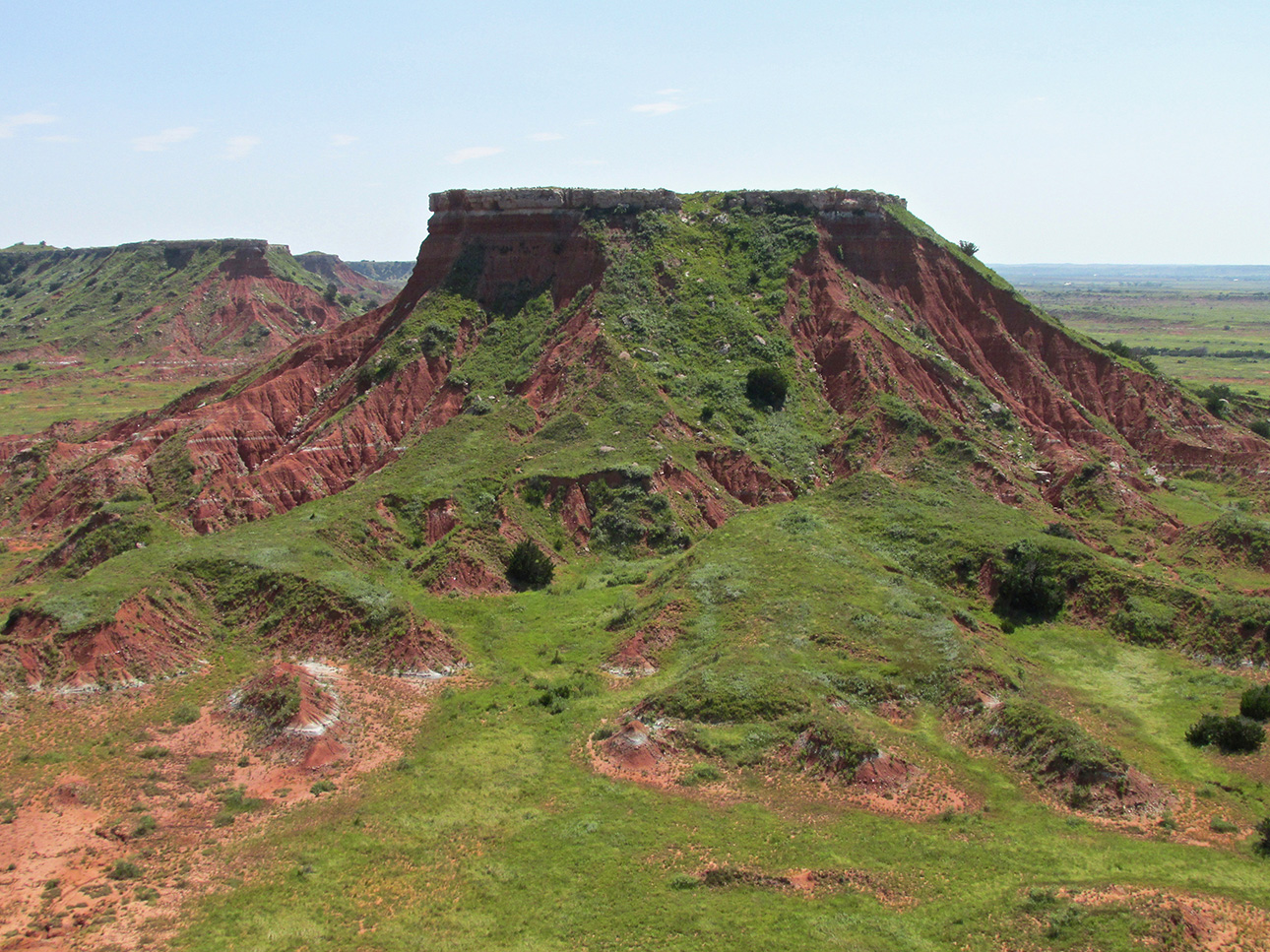
Now, I know you folks from Colorado and California, Utah and other mountain states have a different expectation for the word “mountain”. Out on The Great Plains, we flat-landers call anything that juts suddenly out of the ground for at least a few hundred feet a mountain. I’m OK with that. Frankly, if you look up the definitional difference between “hill” and “mountain” you get a lot of wiggle room. It is fairly subjective. “The Gloss” are mountains in my book and very precious to behold. Now that I have seen them relatively close from the air, I would like to come back on the ground and visit again. See what you think.
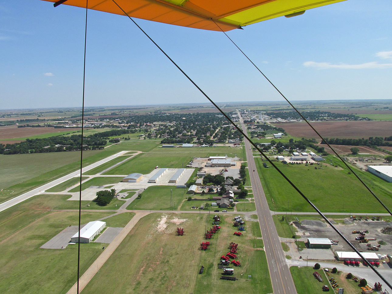
Fairview, OK under my left wing looking South.
OK. I told you I usually do a “Goodbye” shot while leaving town. Above you can see it. This is the North end of town with Highway 58 coming in below. I’m at about 300′ AGL. The Fairview Airport is on the left.
Since I came in from the Northeast and we are now traveling to the Northwest. We have many new things to see so stick around!
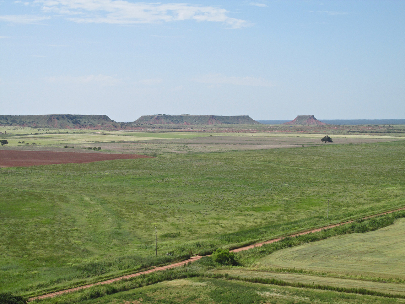
This has “Wild West Movie” written all over it.
About the time in the flight that I took the picture above, I was having great difficulty. No, not mechanical… Not control problems from strong gusts or thermals… No, I was having trouble keeping my camera down. The scene was magnificent. Excellent frames continually manifested in front of me. It’s really hard for me to pass up a good shot when I have a camera… There’s times I actually feel it is a crime for me NOT to take a picture that “needs to be taken”. So even as I held back, I took many more shots than are in this Flite Blog™ post. You’re getting lots of coverage of this special, interesting place.
Dale Krebbs
I am dedicating this series of “Gloss Shots” to my Good Buddy Dale Krebbs of Wichita. He is a top rated Commercial Photographer. In the music recording and radio business, they say producers or programmers with special discernment and talent for the business to have a “Golden Ear”. Dale has a Golden Eye. I think he will like these scenes just fine.
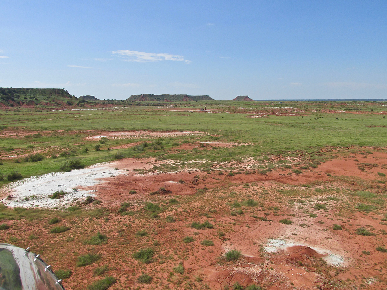
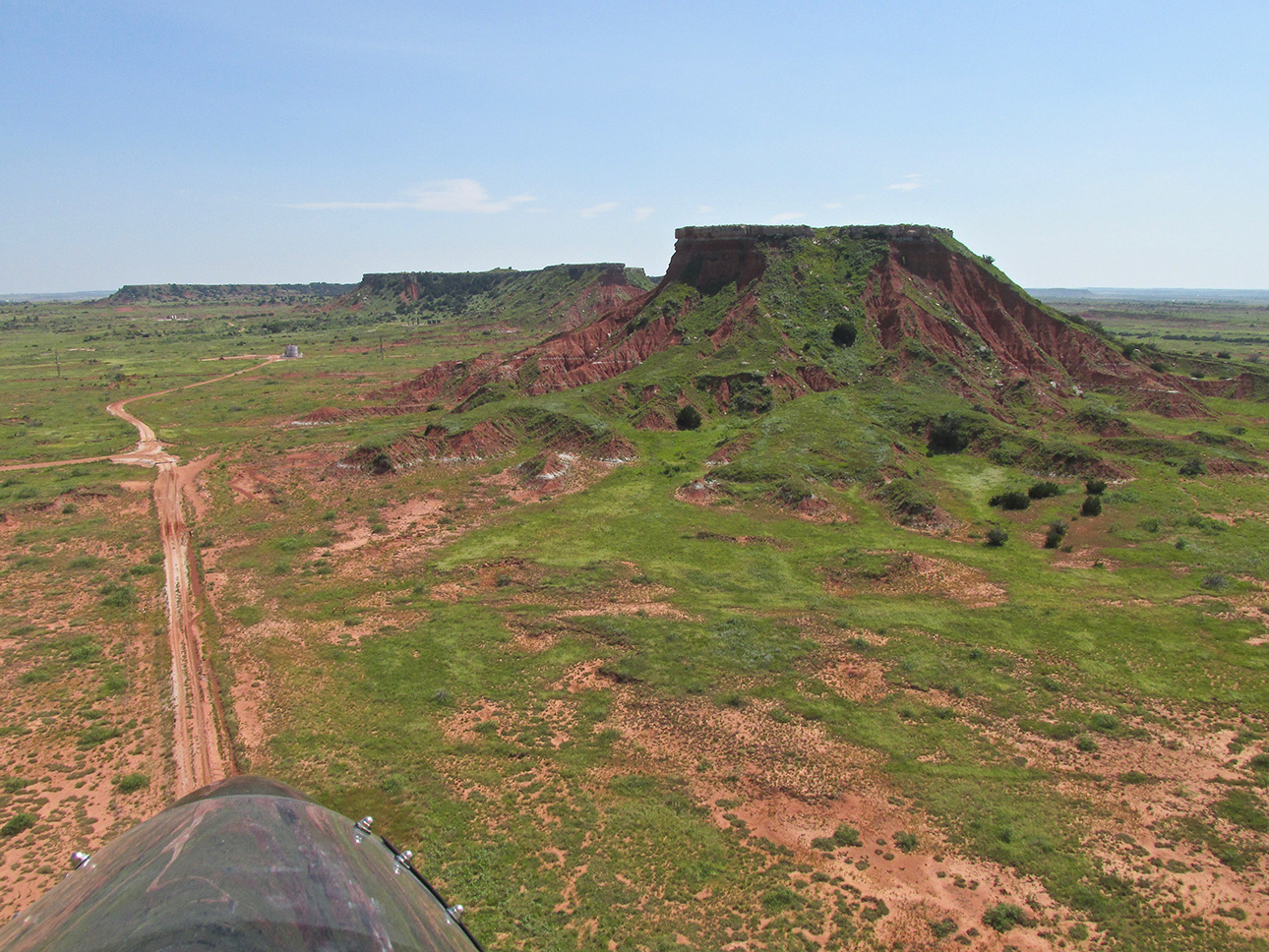
Here, I left a bit of the Quicksilver’s nose in the shot (aka “A Glennview“) to give you a Sky Surfer “Flight Perspective”.
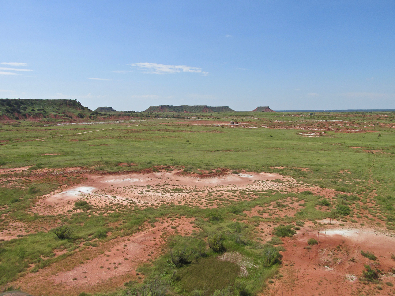
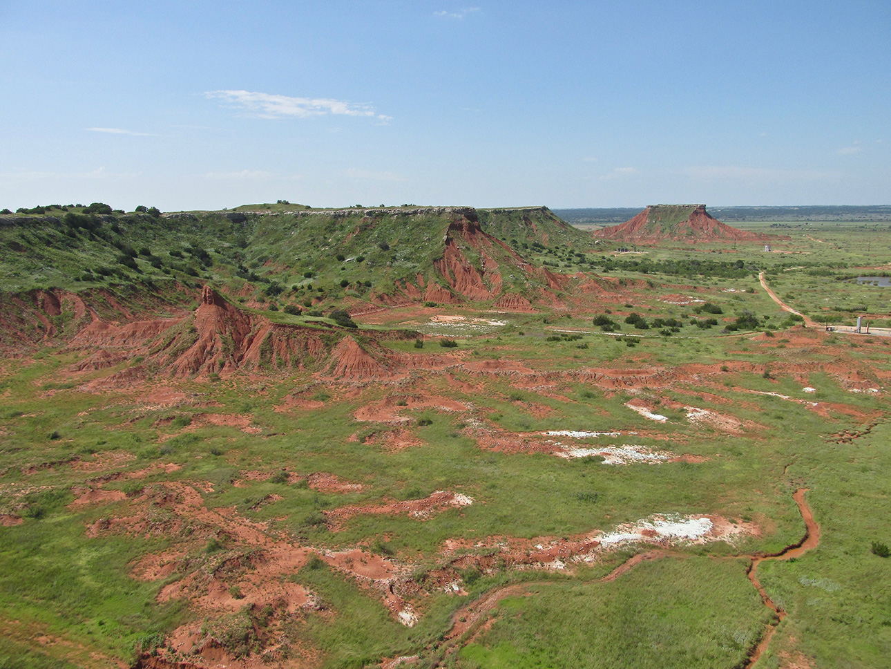
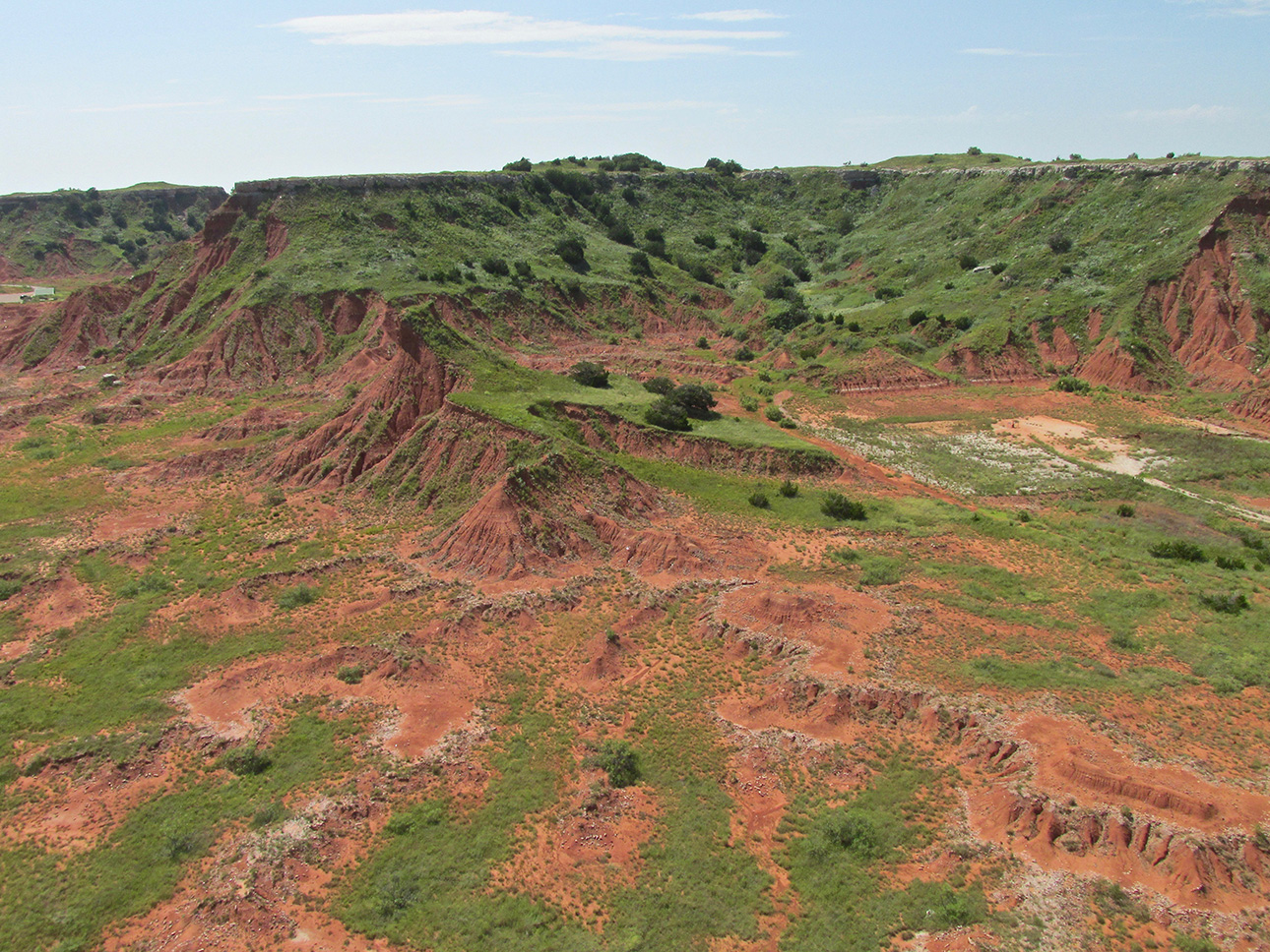
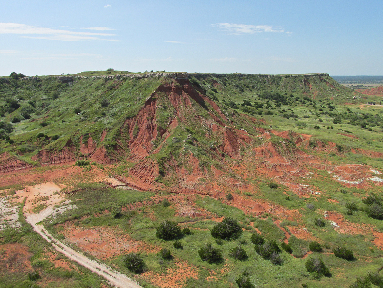
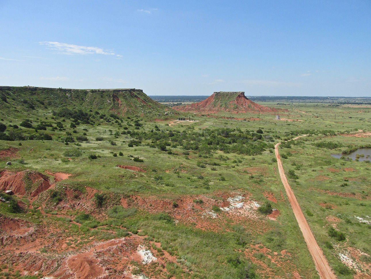
Oil Field Service Road
I want to point out the Service Road because the territory adjacent to the actual Gloss Mountains was not optimal for a forced landing in the possibility of an engine failure. I always keep an eye out for places to land and for that reason traced this road as long as possible. Later, regardless of all that, I had to get in closer to “get the shot”.
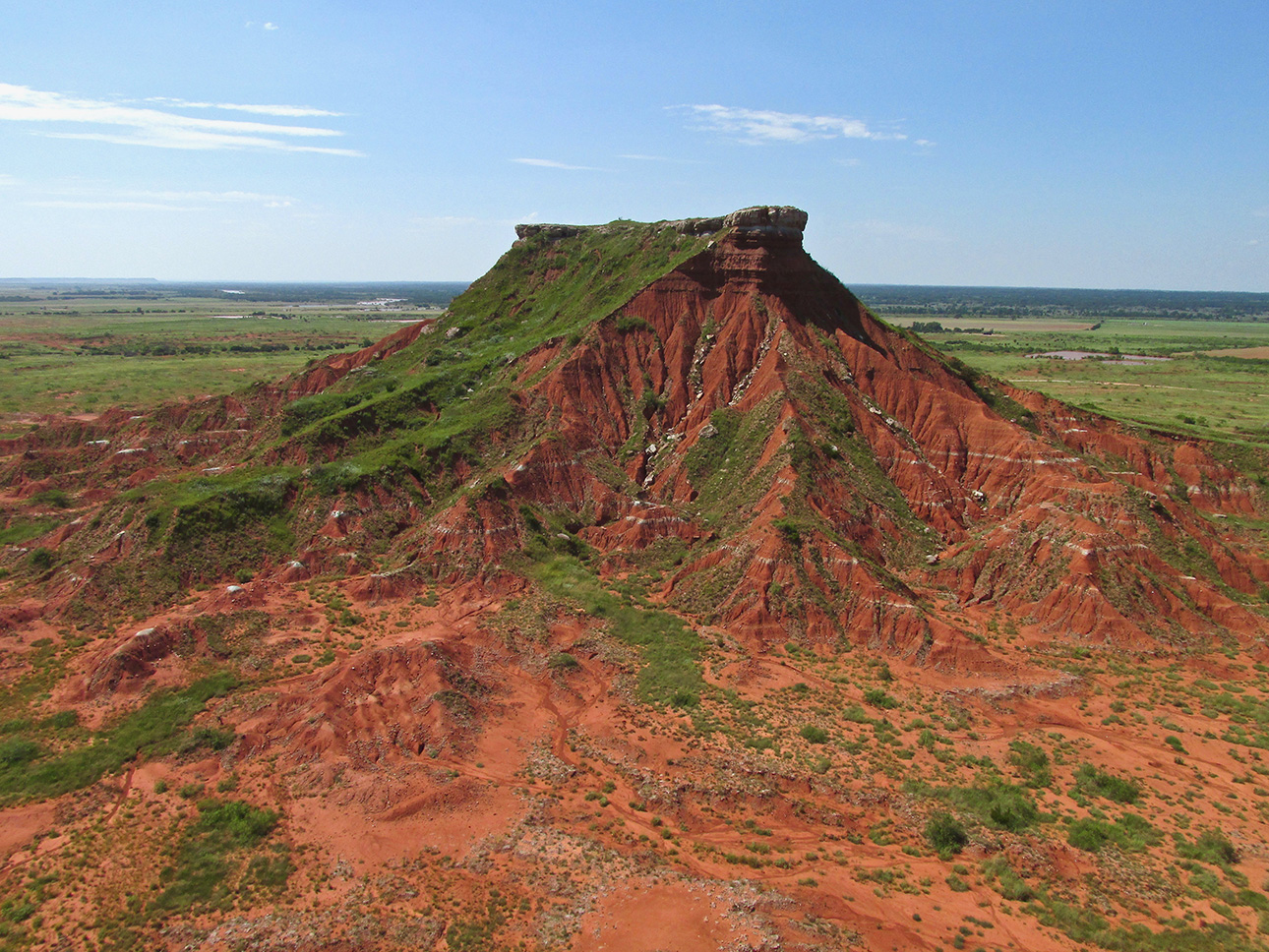
Another “Glennview”
Next, regardless of fuel considerations, I decided to loiter a little longer. It was just too special to miss. I turned back to get a look at the terrain we just passed by. It was also to grab what I think was the best shot of the group.
It’s All Relative
Above, I mentioned fuel concerns. Flying Ultralights out in The Great Plains – or flying any plane anywhere for that matter – one must always be attentive to fuel reserves. That term has a specific meaning in aviation but this time I am using it to mean “available fuel”. I knew I had enough gas on board for the return trip because obviously I made it to Fairview earlier that morning and now I would have the bonus of a tailwind for the flight home. The “unknown” for the run home was how much fuel my side trip to The Gloss Mountains would use. As it was, this (first…) diversion added a little time in route but the tailwind covered the fuel burn.
The sub-head above brings up another point. For one cruising at 3,ooo’ and above or as low as 1,500′, the slight deviation I am making for my return flight would not reveal much different below than they had already beheld. Flying at Ultralight Flight Level 75 (Seventy-five feet above the ground) increases the potential for dramatically different, under-wing visuals. This flight verified that possibility in spades.

Here, the Cimarron is deeper and moving faster.
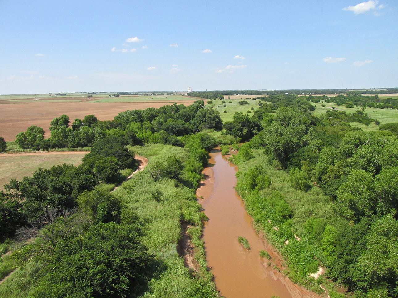
That might be Aline, OK in the distance.
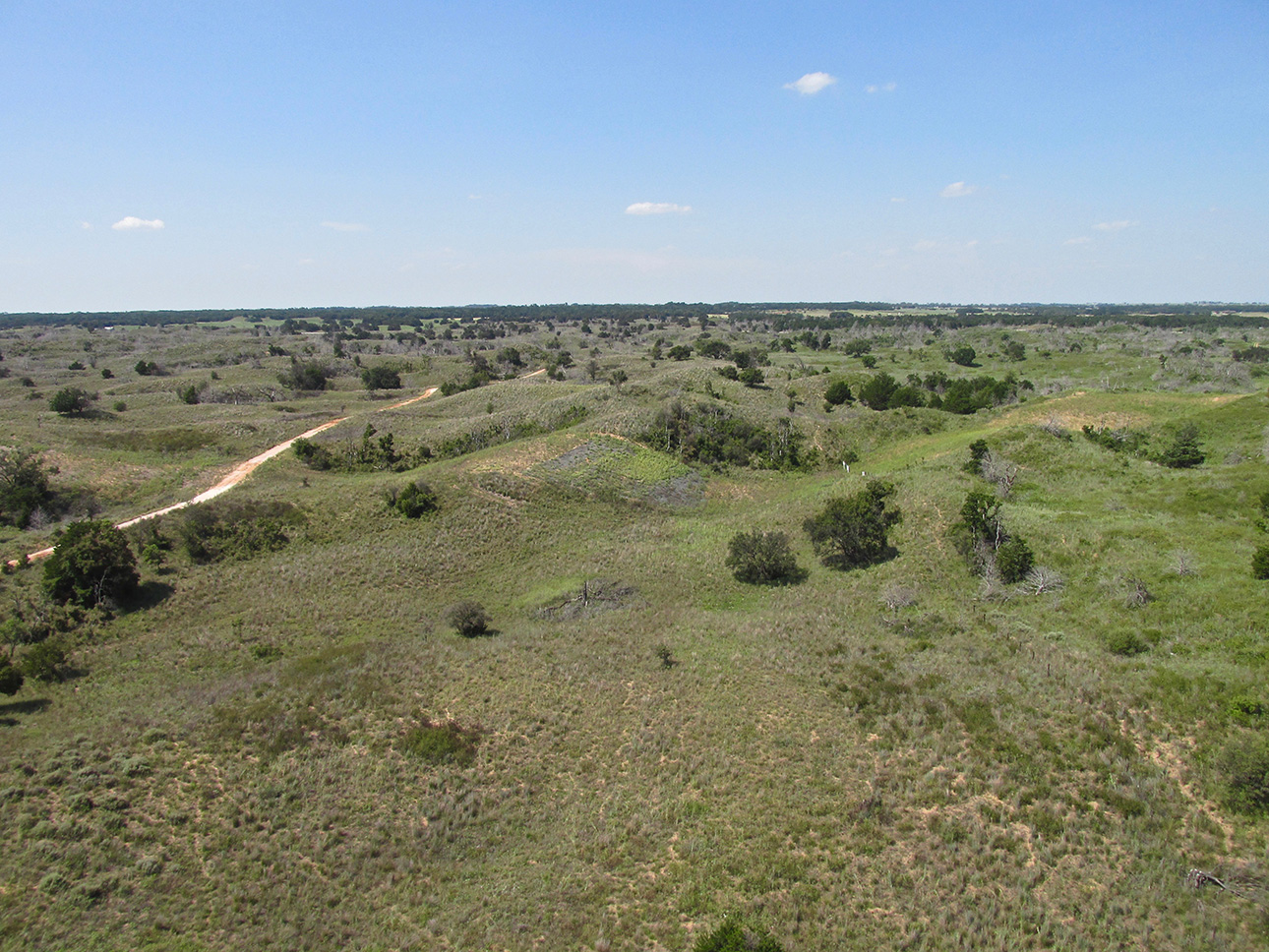
Rolling Hills
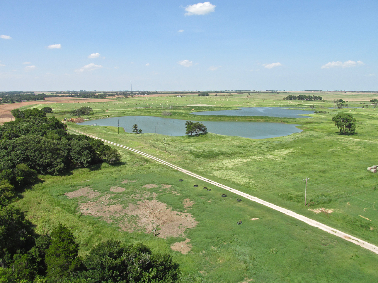
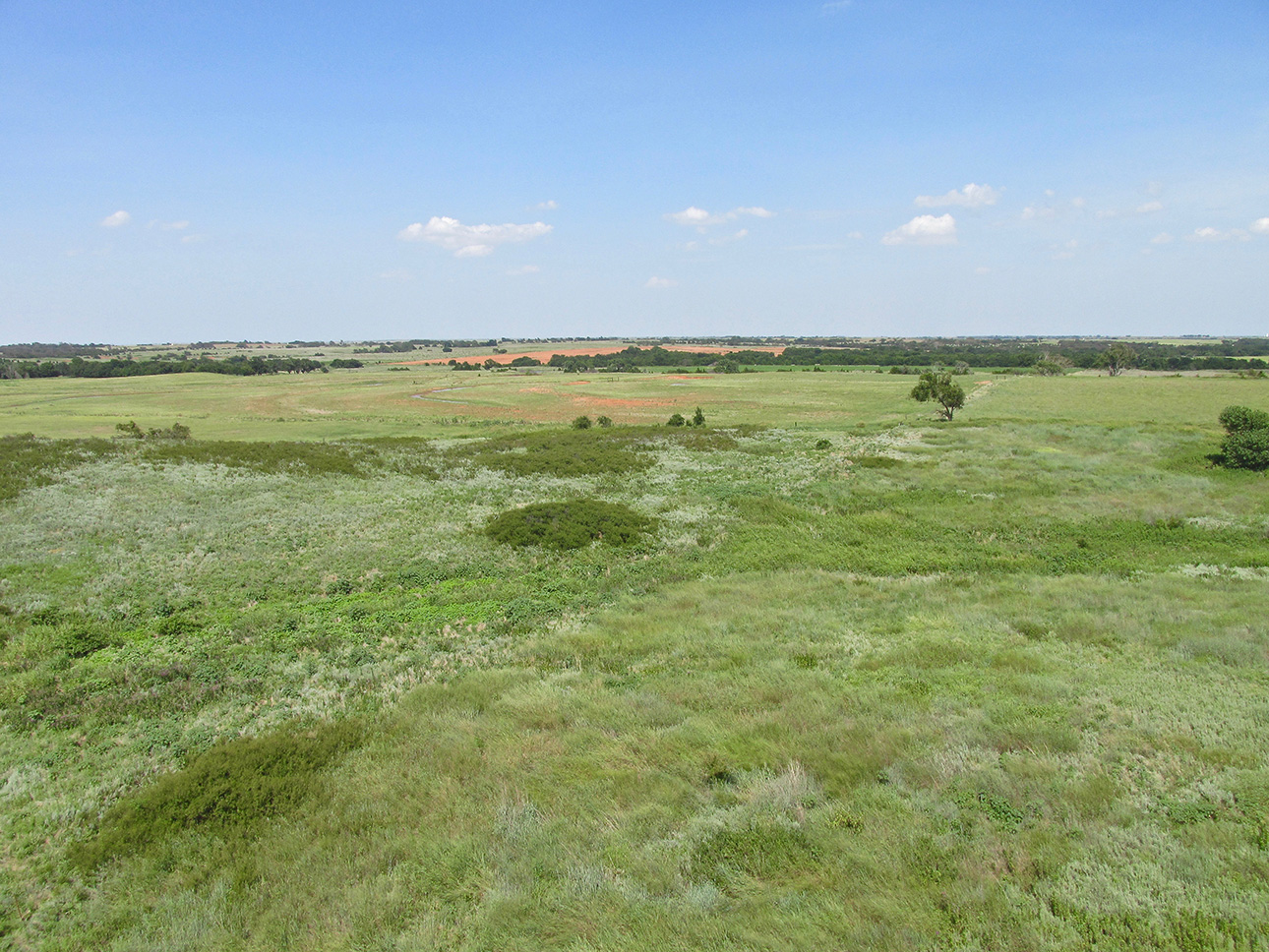
Prairie Gold
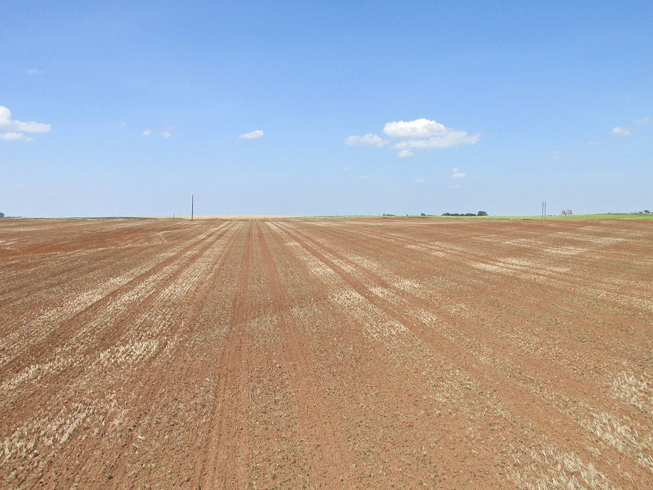
Airspeed 38 mph – Altitude 4′ AGL
Bonus #2
Earlier I bantered about the potential difference a few miles change in course can make for the view under wing at low altitude. If a flyer followed my morning path at 3,000′ AGL, he already saw this, but we didn’t! Now because we had gone just 8 miles Northwest of Fairview, our trip home reveals another amazing thing: The Cherokee Salt Flats!
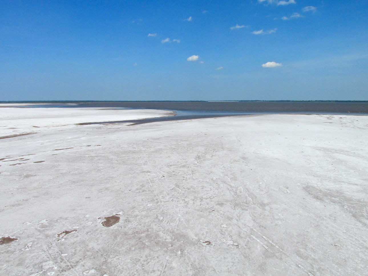
I had “Safaried” here before and on a whim even landed in the Flats parking lot on that trip (see “Salt Flat Safari” HERE). Only a two hour drive from downtown Wichita, it is surprising to me how few people I talk to in the area are aware of The Flats. This wide, salt flat has an Aviation Angle, too. Famous Clyde Cessna and his brother Roy flew their first airplane “Silver Wing” from the flats. It is a natural runway for sure. Again, here at The Flats, I am going to place more pictures here than I normally would due to the unusual nature of this flyover subject.
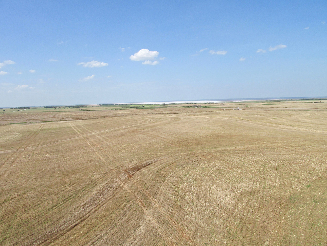
Approaching from the Southwest at about 15′ AGL.
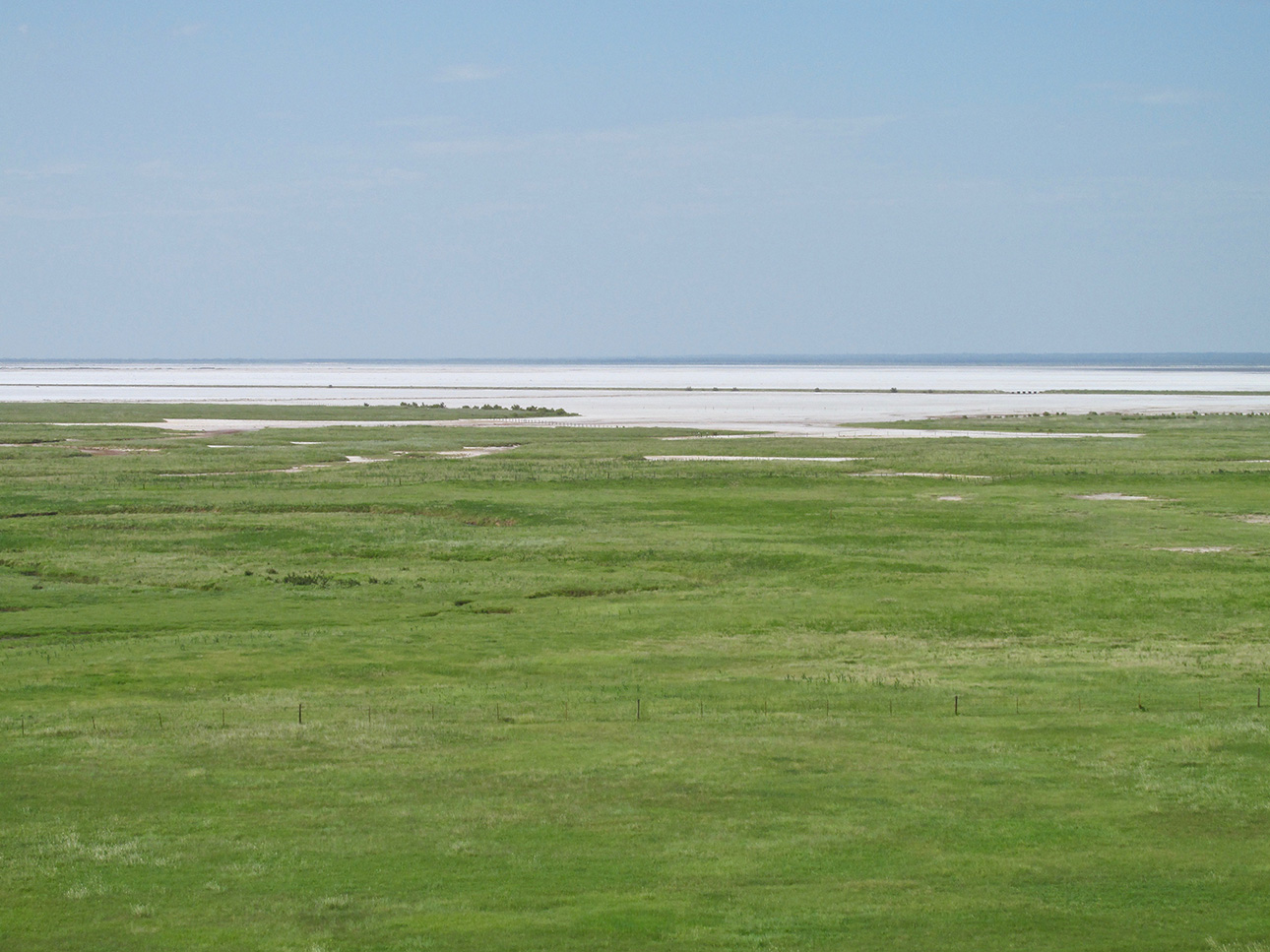
There’s Hot and Then There’s HOT
Earlier in this tome I alluded to the July heat on this when it became most notable around Noon as I traversed Fairview on foot. Crossing The Flats mid afternoon made my walk downtown seem like a Springtime, barefoot stroll through lush grass in Ireland by comparison. Heat comes up from this dead zone in waves. It reminds me of the sudden heat blast in your face when opening a hot stove in the kitchen.
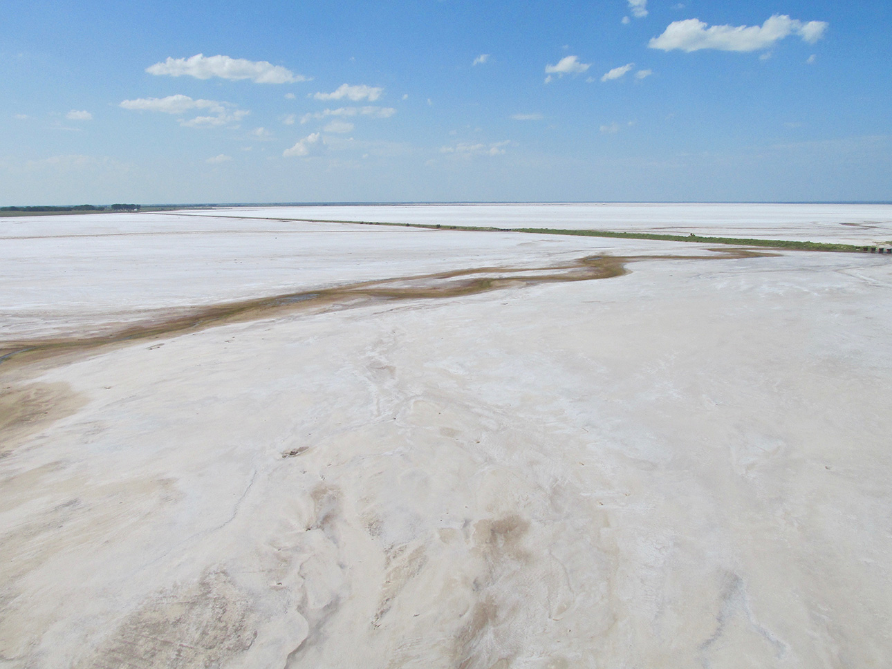
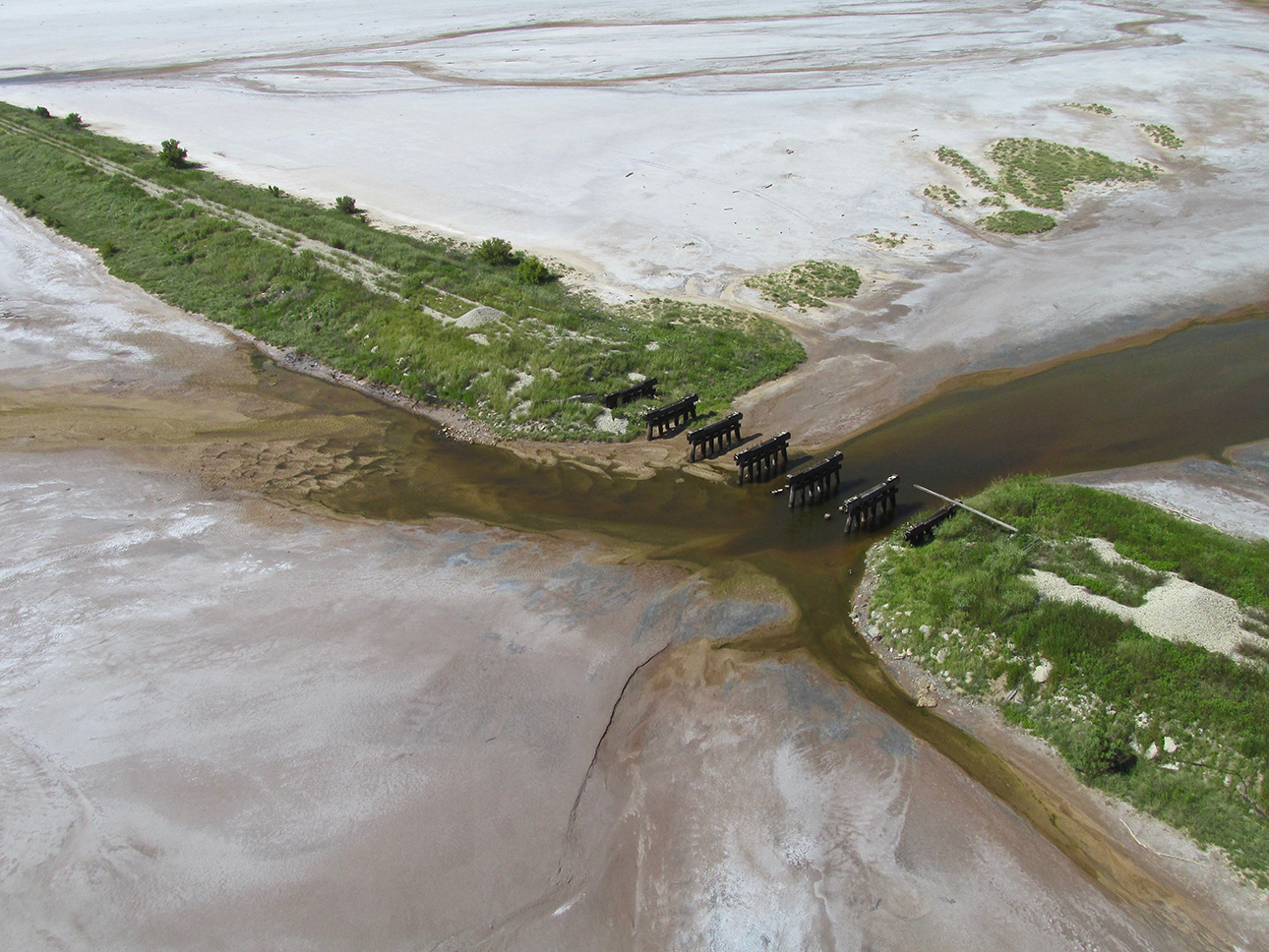
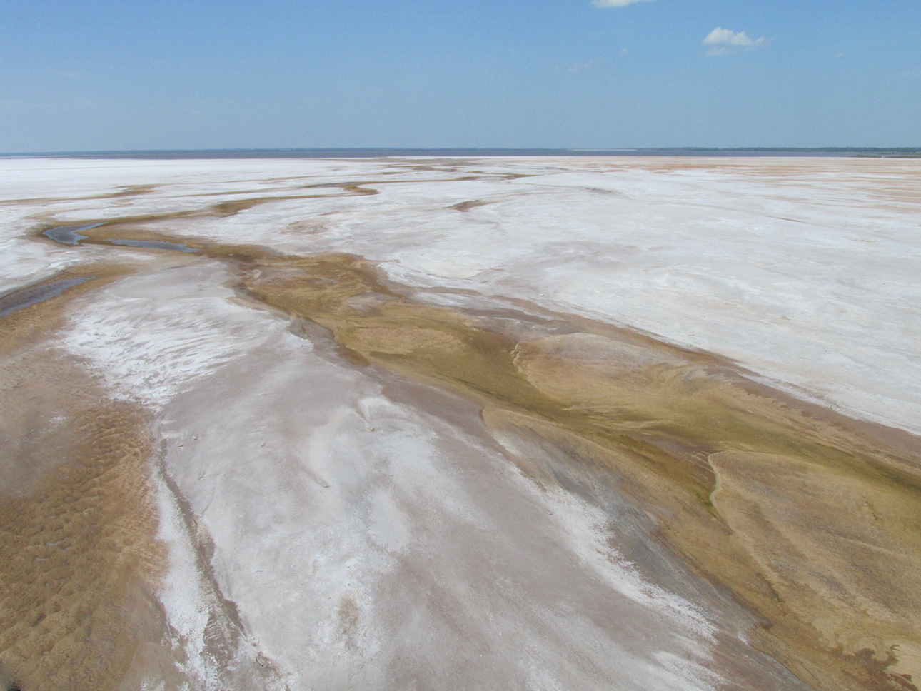
There is a lake adjacent to The Flats. These rivulets are feeding it.
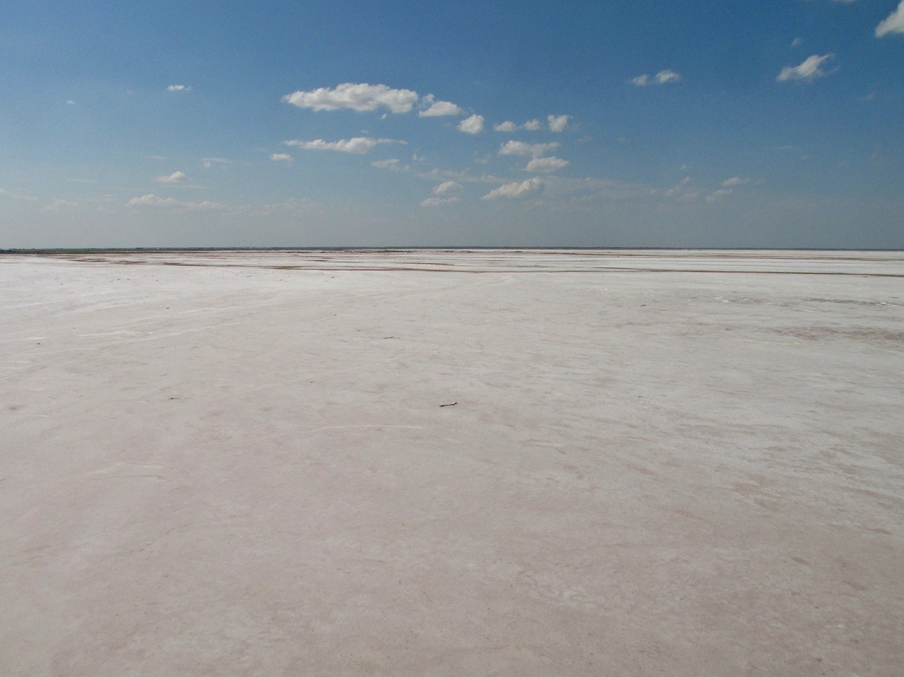
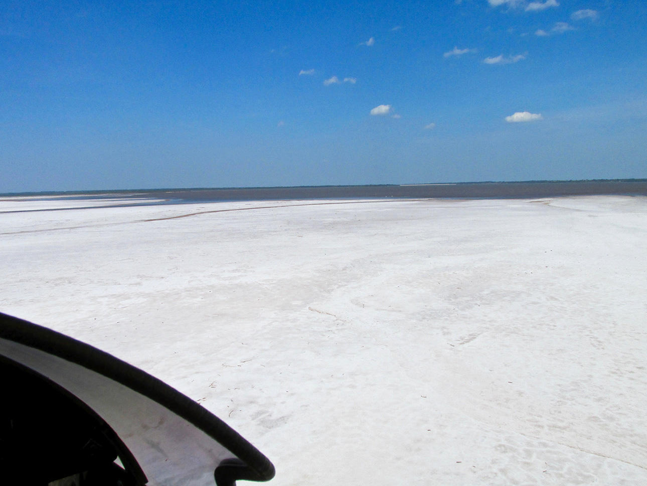
Skirting the lake.
Other Things The Sky Surfer Avoids
In addition to forests, rocky areas and marshes, when flying an Ultralight it is wise to avoid overflight of any significant body of water. There are even relatively small cattle ponds I go around when flying low. The Quicksilver flies great and climbs like crazy when under full power but when the fan stops it has so much aerodynamic drag it won’t glide very far. The glide ratio is about 5:1. I can easily put ‘er down on this Salt Flat but dropping into water is not good…
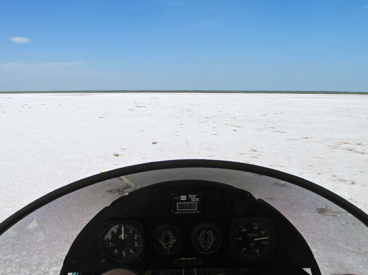
Finally around the lake.
If you check the altimeter (and the photo) you can see I am only a few feet above the surface. I had not expected having to divert my path in order to go around the lake so I am again concerned about fuel use for the remainder of the trip.
TECH NOTE: On closer examination of this photo, I am reminded that my EGT (Exhaust Gas Temperature) instruments were giving me a lot of trouble during this period of time. They are the ones under the Tach. They also read CHT (Cylinder Head Temperature). The one on the left (the front cylinder) is reading zero so I know it is junk. The CHT’s were both working and in the “cool” range so I wasn’t worried about it. Not too much later I got rid of those gauges and bought the more sophisticated, accurate and unified digital one I use now.
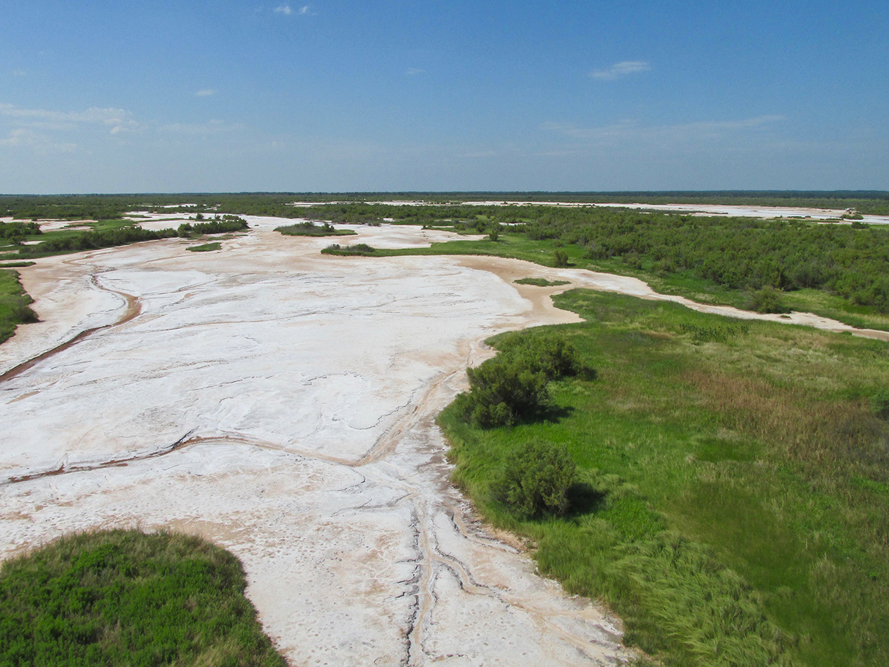
Marsh Land
Decisions, Decisions
Not a couple of paragraphs back I told you I don’t like flying over certain terrain. Marshes were actually in the list and now you see me crossing one. Because I had already gone off course twice during this trip, I did decide I had go over this stuff but it put me on High Alert. It’s not like I couldn’t land here. My concern was that if I had to, I would lose the plane because I’m not sure I could bring a truck out here to retrieve it after the fact. So, I gained some altitude, flew on at about 100′ AGL and everything was fine. Even though this area is considered “waste land”, it is vividly picturesque.
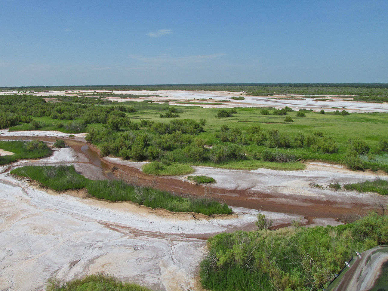
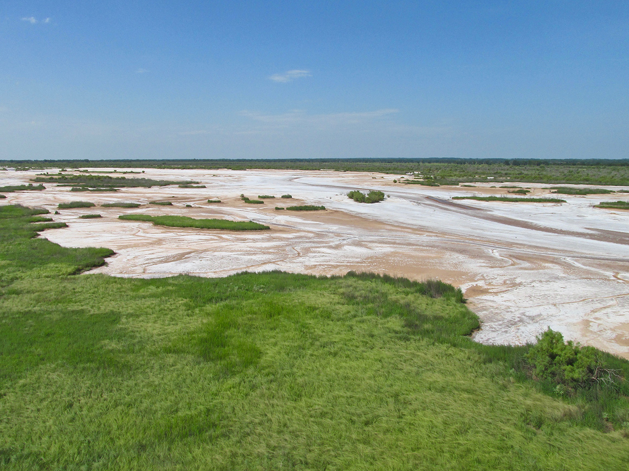
My favorite Marsh Shot.
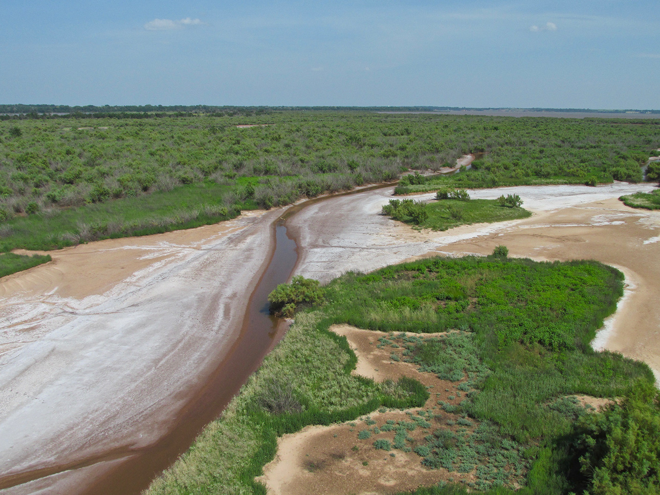
Say Goodbye! This is looking back over my right shoulder.
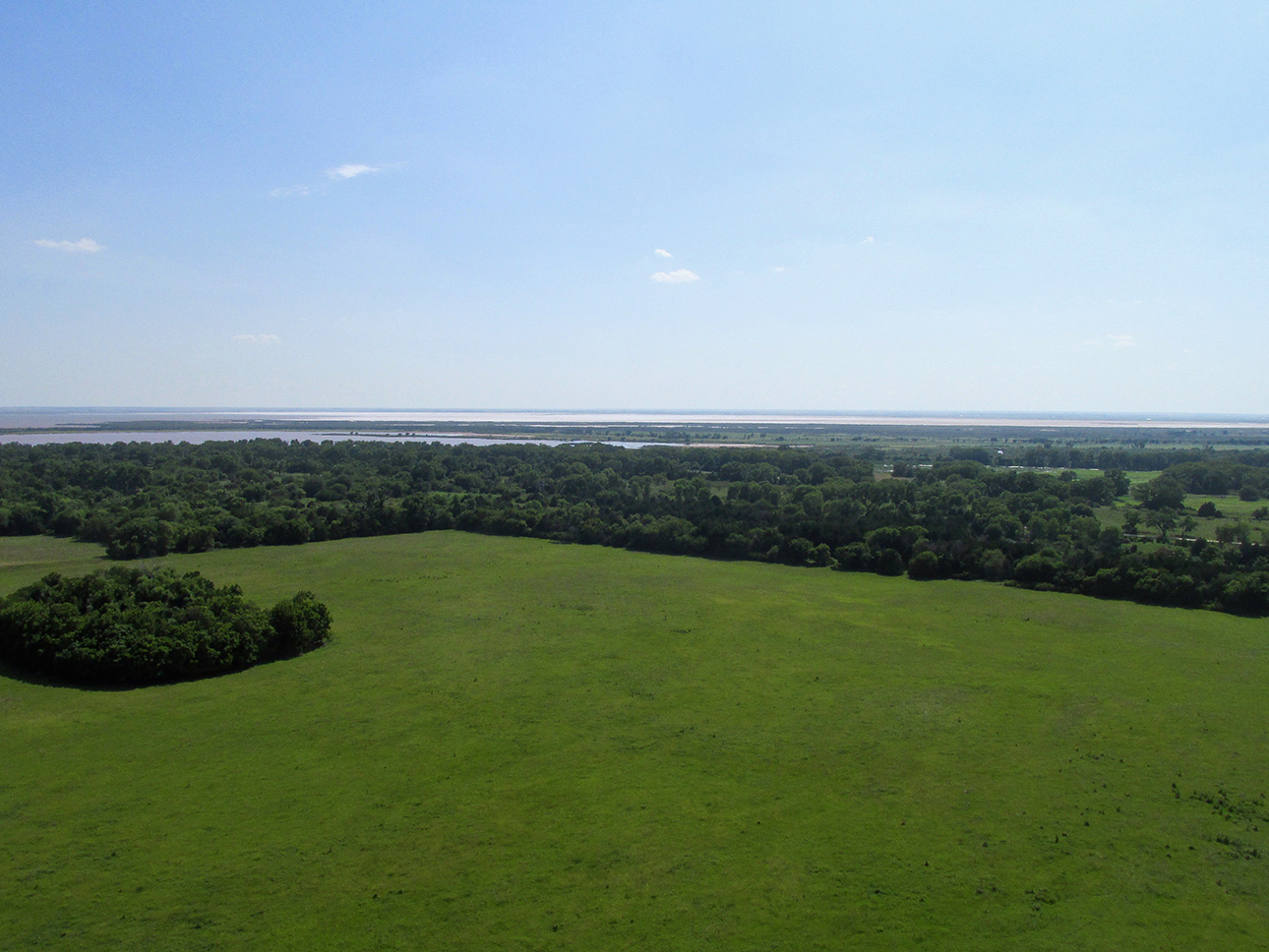
OK… One more “look back” from the Northeast side of the Salt Flat Area from about 100′ AGL.
Instant Replay
The first time I flew over The Flats (see “Salt Flat Safari”) I was shooting with a still camera that also would take movies. That was rather novel at the time and being a purist, I would never consider taking movies like that. Wrong tool for the job – right? But, for some reason as I drifted mere inches above the scorching white salt I thought, “You know, I could take a movie of this”. So, with my left hand I ran through the menus while flying with my right hand, occasionally bumping the throttle with my elbow. Soon I had the cam in Movie Mode and did the deed. It turned out marvelously. I even worked a “selfie” in.
On The Fairview Adventure, I sorta did the same thing but I didn’t like the result. The camera work was sub-par and I was reminded that I had shaved my hipster, mustache/goatee combo and I didn’t look have the proper Sky Surfer Look. So, because you would be hard pressed to tell one flight from another, I’m going to drop the first movie in RIGHT HERE:
I hope you liked that. I hadn’t seen it in a while and I’m pretty happy with the way it turned out especially under the circumstances. Oh, and it was a “one take”, too…
The Return Flight

Over the Rolling Hills again.
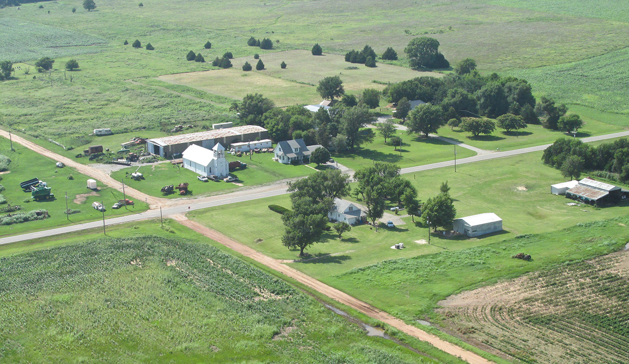
I took this shot because I loved the look of that pretty, white Church out on The Prairie.
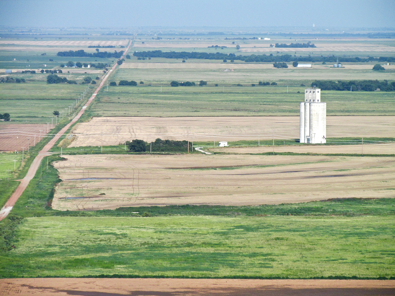
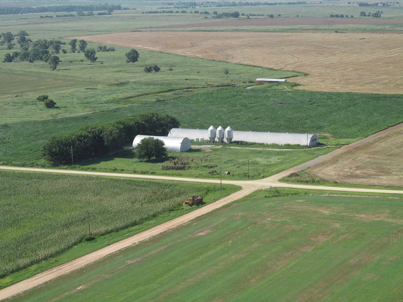
I couldn’t determine what this long quonset hut is housing. The three bins look like feed bins. I’m pretty sure it isn’t a chicken barn or a hog barn. If anyone knows, please let me know.
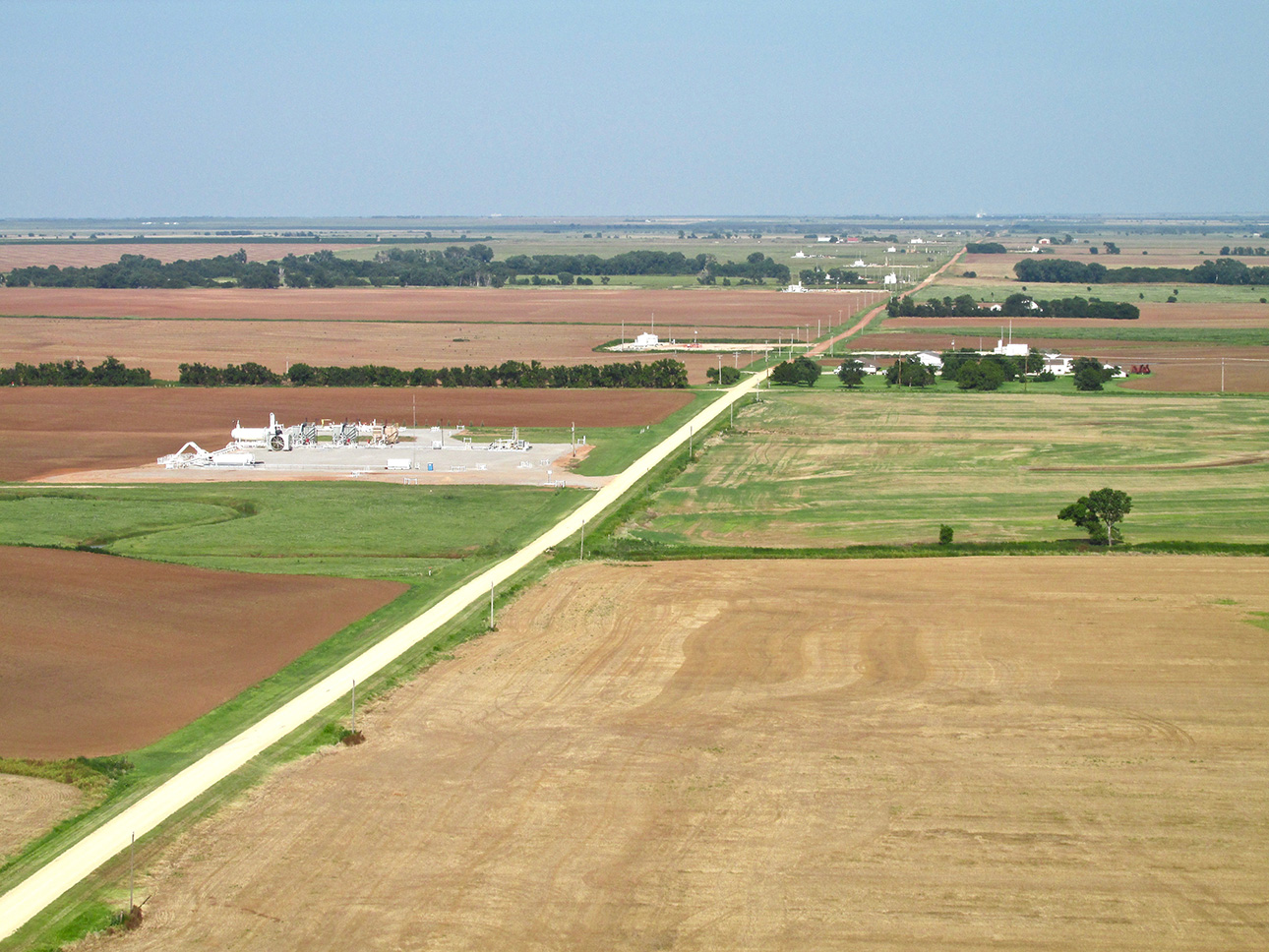
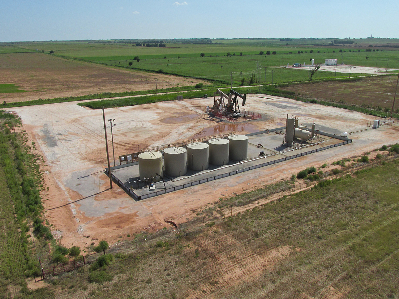
Down this road (mostly on the North side) are a long series of either injection wells or frac stations.
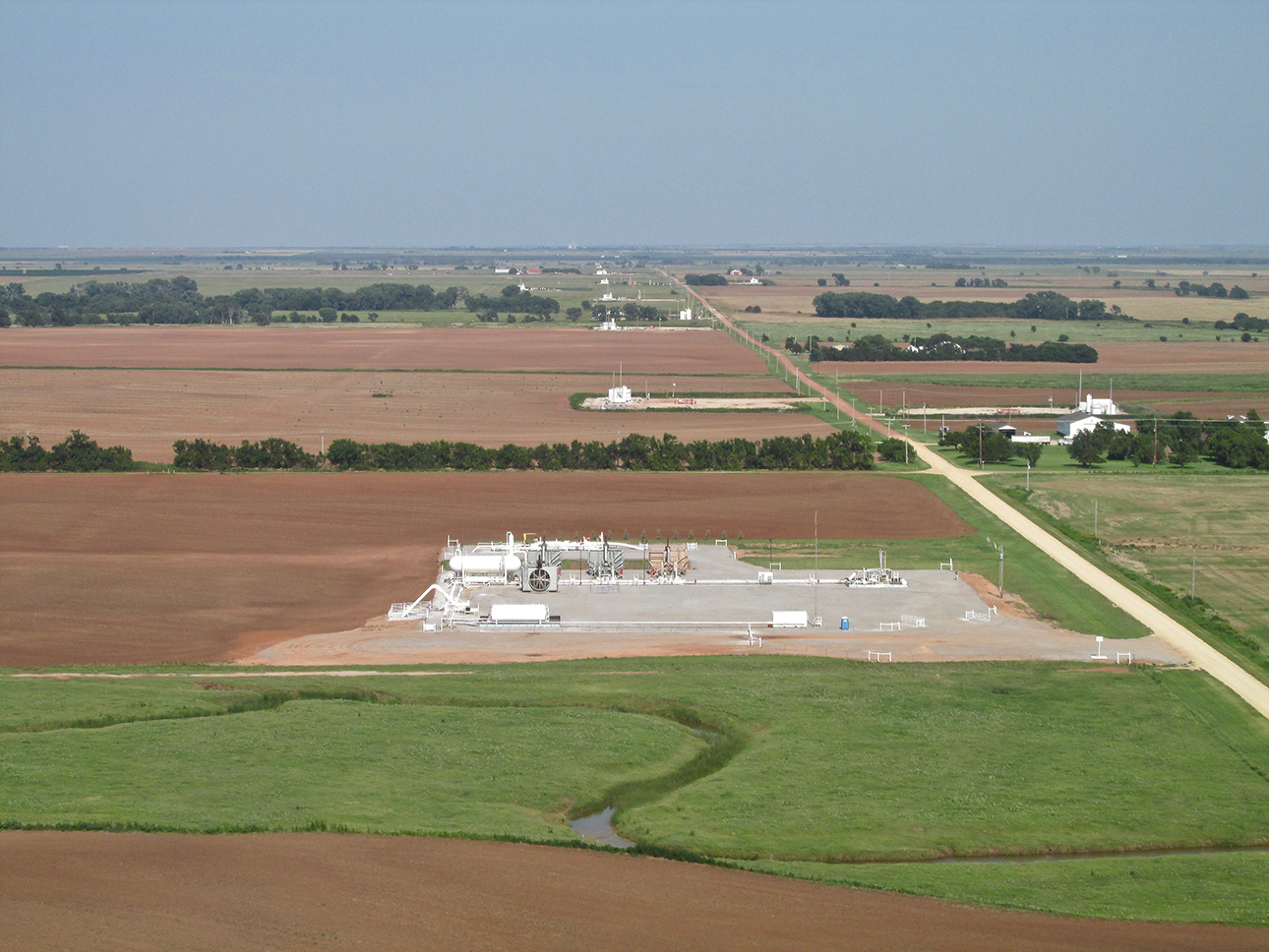
Same as above but now lined up.
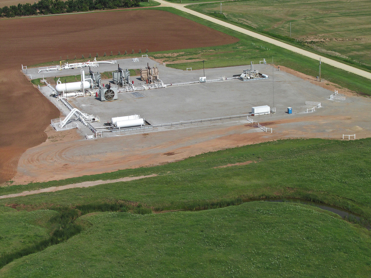
A closeup of one.
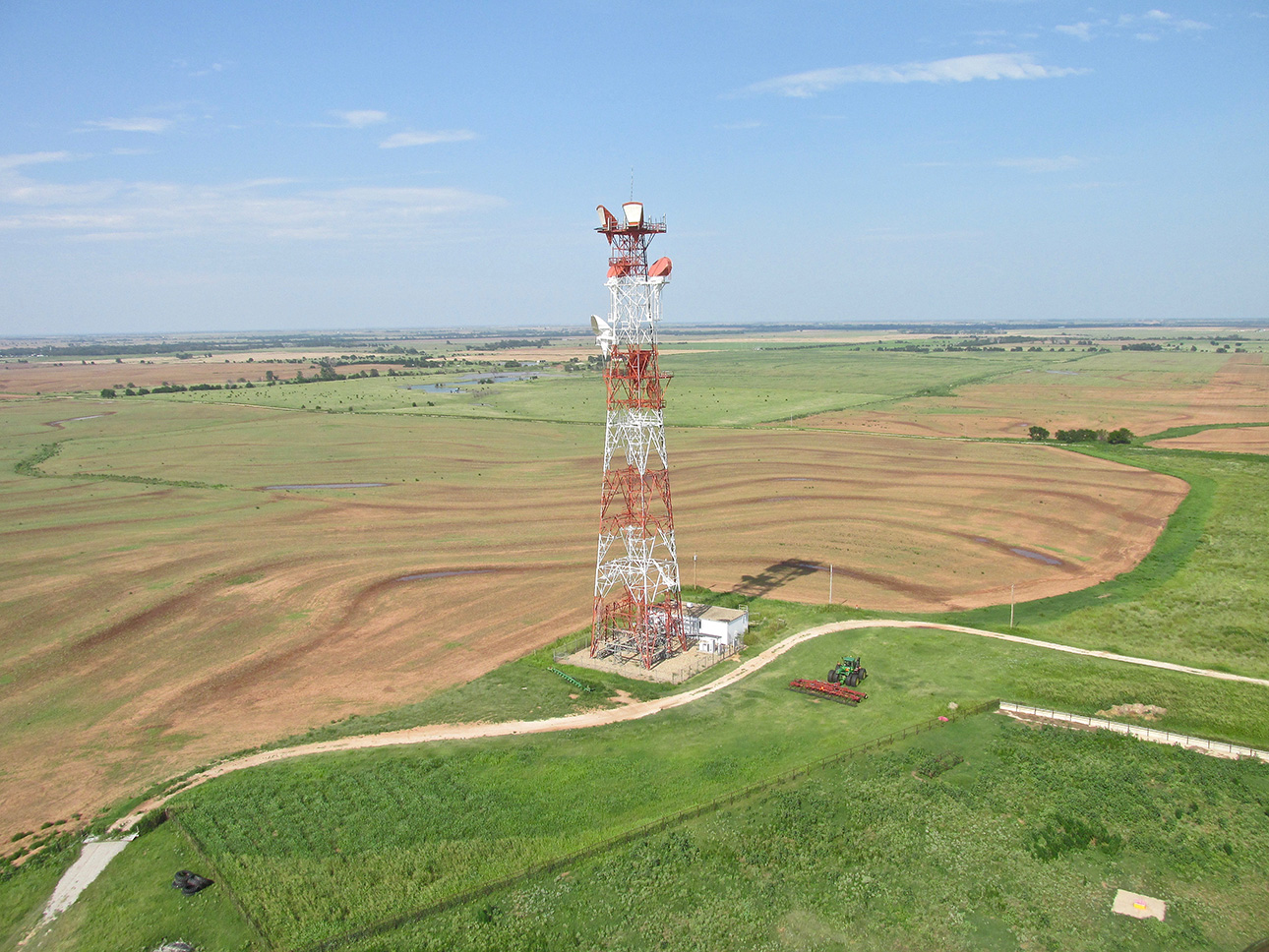
Microwave towers like this make me wonder if my fabric wings are going to melt when I pass by…
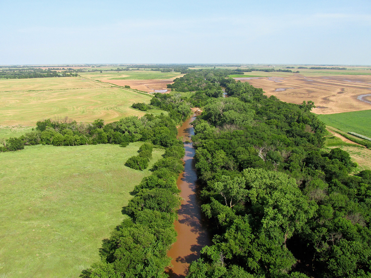
There’s nothing special about this except that the river was high from the recent rains and I thought it looked like a good picture.
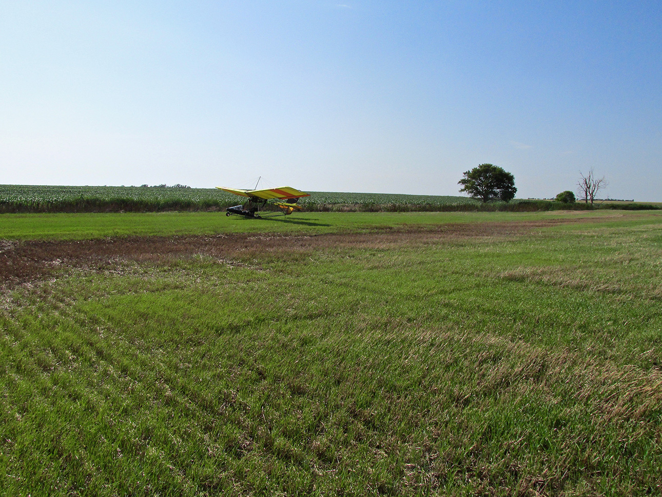
Like a sponge.
Barnstorming
One of the truly great things about Ultralight Aviating on The Great Plains is that I can drop down to land on about 80% of the Earth’s surface I pass over. Now, I’m not saying this is always the best idea. Just because you “can” do something doesn’t mean you “should”. I related earlier in this post that I stopped landing in open prairie because one time I missed a considerably wide gopher or racoon or “something” hole by inches. All I know is that it was big enough for my big foot (size 11.5) to drop down into it at least 12″ down with room to spare front and back. Suffice to say, I thank God my landing gear missed it. Since then I have made it policy to land only on mowed hayfields or country roads. Even then surprises happen…
The field shown above is the one I mentioned earlier that felt like I was walking on a sponge or a mattress. From this shot it is not evident but it became evident the moment I touched down. It was like I had the brakes on. Fortunately the tires did not sink down. It took full power to get into motion after I got back onboard for takeoff. Once the wings started lifting I was out of there, though. No problem.
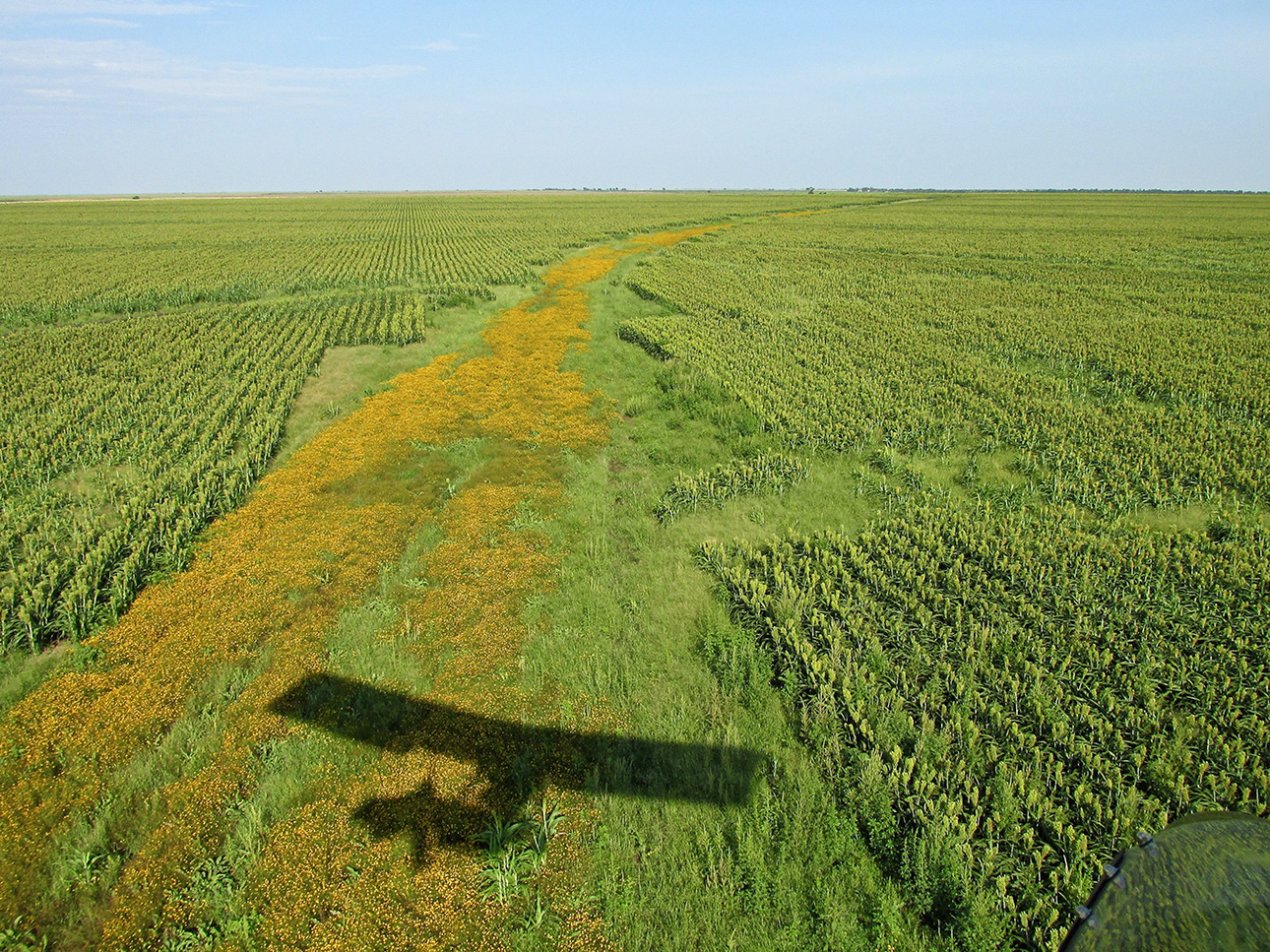
Back in Kansas, I followed this Yellow Brick Road through this huge milo field for a mile or more.
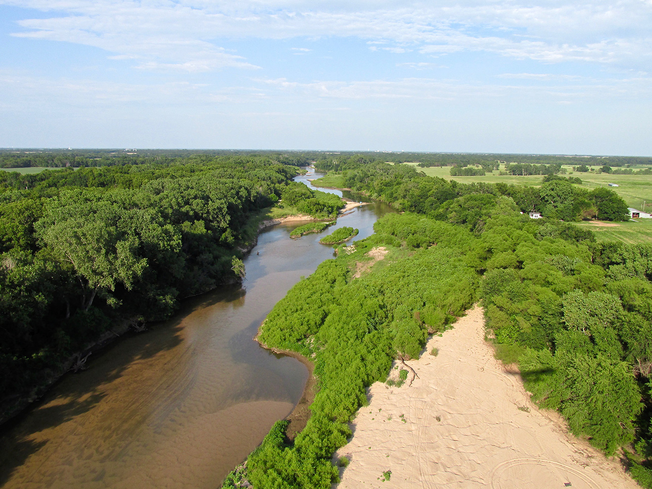
Back over my home turf. Here I cross the Arkansas River.
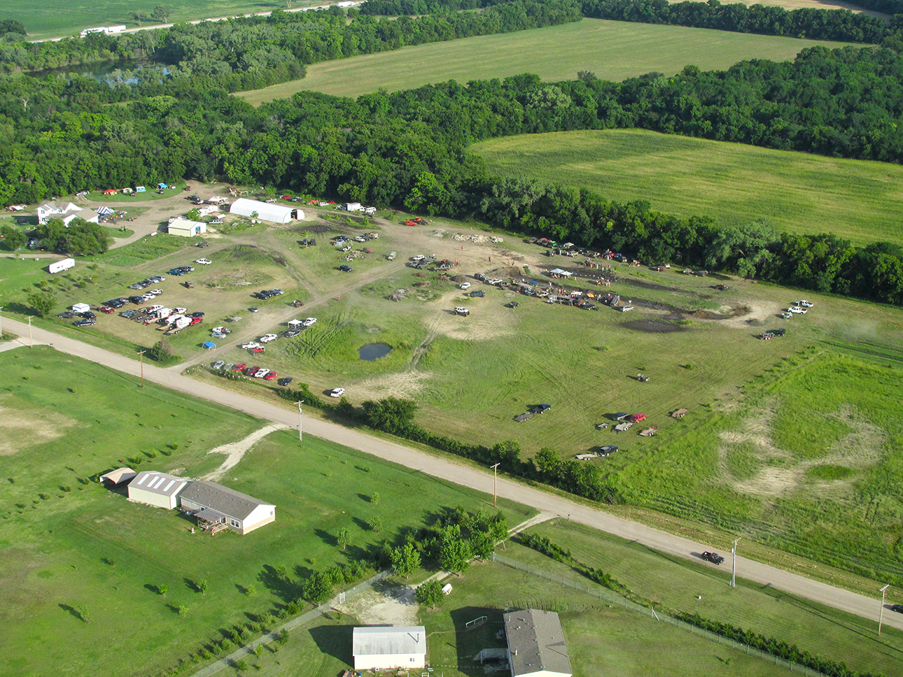
Something New
I was just about to cross the Kansas Turnpike to enter the pattern for Blue Sky Aerodrome when I saw this interesting scene. I fly over this general area frequently so I know it had been recently set up. I was low on gas so I didn’t loiter long but as I was passing by I could see they were having Mud Drag Races. You can see the side-by-side pits in the upper right corner. Nobody was racing while I passed over.
Back in the 1980’s, I took my Son Jack and his Boy Scout Buddies to an indoor Monster Mud Race. It was about as loud as you can stand – even with ear muffs on. We had been to a number of “regular” Monster Truck promotions in the same place and they were a lot better. It’s not that dirt is better than mud. It was a fault of the promoter. The Mud Race empresario didn’t have an MC or any connecting acts between the races. You gotta have something going on all the time at those events or they get tedious.
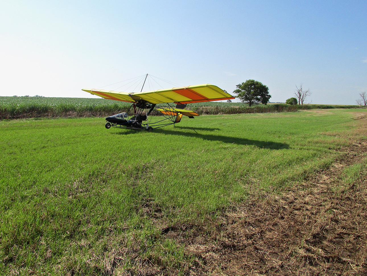
Little B
“Little B” was a nickname we gave our Daughter Bevin when she was a baby. I named the plane for her and conveniently it also includes my Wife Debra because her name means “Bee”.
This last shot wasn’t at my home field because I forgot to take a finalé shot this Safari. This was taken on the “Sponge Field” you saw earlier and I thought it was too good to toss.
I hope you liked “Fairview Indeed”. I had a great time on the trip and look forward to bringing you many more Safaris like it.
Blue Skies & Tailwinds!™
Brian FitzGerald – The Sky Surfer
