Let’s Begin From The End
This edition of “The Sky Surfing Safari That Never Ends” begins with an object lesson. File it under the general heading “Even the best laid plans of men sometimes go awry”.
First, a humbling admission to provide basis for this anecdote. Those of you who are familiar with The Sky Surfer’s Flite Blog™ posts, know he is not “general” in his descriptions. Exhibiting a (seemingly) vast memory capable of endless remembrances, Surf endeavors to have his stories contain names, places, dates, locations, altitudes, etc. Well… There was a time when he could remember all that detail stuff (and if that is true, he can’t remember when it was…). Anyway, on a Safari when it comes to factual data, The Sky Surfer resorts to the time honored method from journalists of old. He writes stuff down on a pad kept in his pocket.
Bein’s how “The Harper Run” was his first bona fide Safari of the season, though, he had to forget something. This time it was the notepad.
Being a resourceful type, though, when presented with his first memory challenge – meeting the first two Harperians (residents of Harper, Kansas?) – he fished out Bible Memory Cards he keeps in his shirt pocket and began scribbling on the backs of them. About the size of a credit card, the blank backs of these 2″ x 3.5″ cards will suffice in a pinch but are not optimal. For The Surfer, it is akin to etching the backs of dimes with a Dremel Tool. Regardless, using this method he kept good notes during the tour of this South Central Kansas burg.
Now, flash forward to the end of The Surfer’s “town walkaround”. Envision in your mind The Sky Surfer having just made a triumphant short field takeoff next to the hangar in the hopes of impressing a seasoned, professional crop duster with his airmanship. After this display of youthful bravado, he glances down to see all his notes in the shirt pocket of his Tropical Shirt fluttering and about to take wing. Thinking himself very sharp to have caught this mistake before the notes were drawn out of the pocket into the slipstream, he decides to slide them inside his Hawaiian Shirt for safekeeping on the ride back to Selby Aerodrome. After choosing this wise accommodation, he did notice that the strong South wind he was cutting across was blowing hard into the front overlap of the shirt. This caused it to billow out like a balloon. It didn’t seem like any big deal. Actually in the heat of the day it seemed like a serendipitous air conditioner – not all bad. Unfortunately the addition of this increased inner-sartorial air pressure was more than the old shirt could bear. The left seam failed and all his notes were ejected into the atmosphere somewhere between Harper and Haysville.
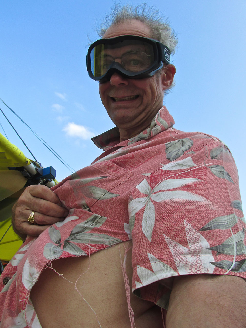
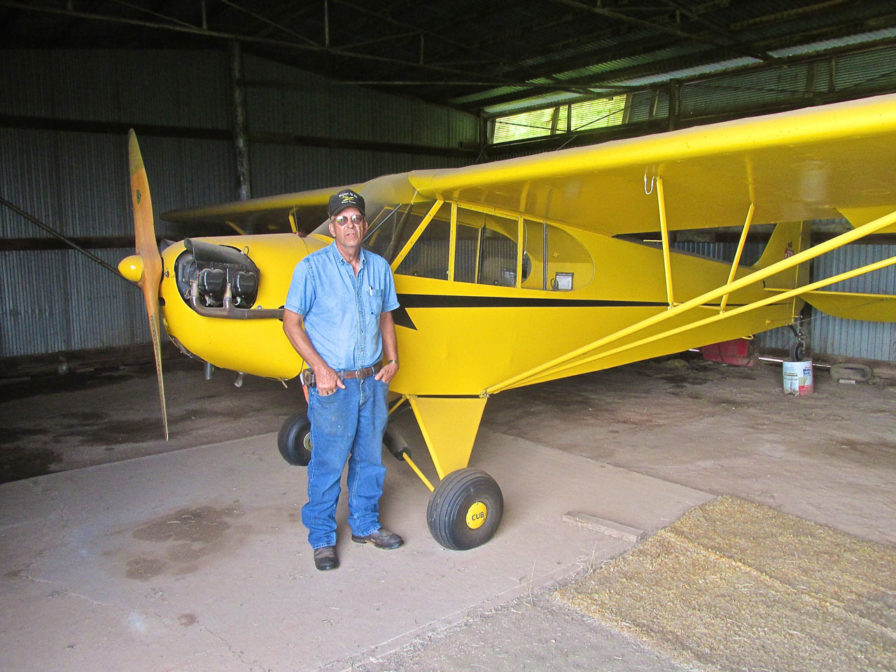
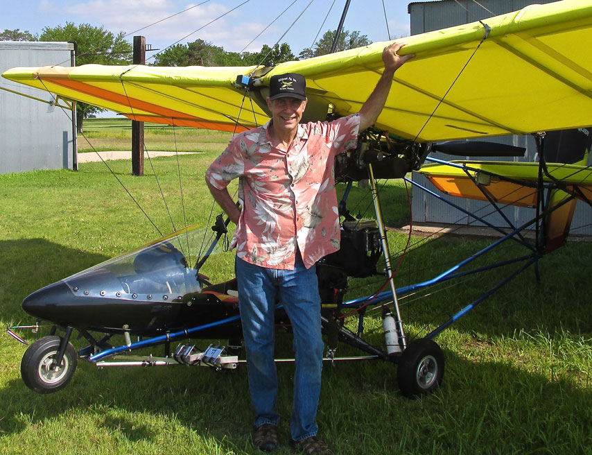
Looking supremely hip, sporting his Don King hairstyle, Surf Boy the natty dresser shows off his new “vented” Tropical Shirt.
All Was Not Lost!
There was a silver lining in that old flowered shirt, though. A business card remained and I scanned it so you can see it below. Thank God I still had Lynn Bebermeyer’s phone number so I wouldn’t have to struggle with the AT&T “directory assistance” robot. In my area, AT&T has mistakenly done away with human directory operators. Most of the time the robot cannot find telephone numbers you need. Then, after a half-hearted try Robby (or Robin) The Robot “pleasantly” hangs up on you “Thank You For Using AT&T”. In addition to the “Sign Off Thanks”, Ms. Robot is sending me a subliminal message. It sounds like, “Maybe you need to check Verizon…”
Anyway, at various times while writing this report I called Lynn to see if he could supply some names that I had lost. He was happy to do so.
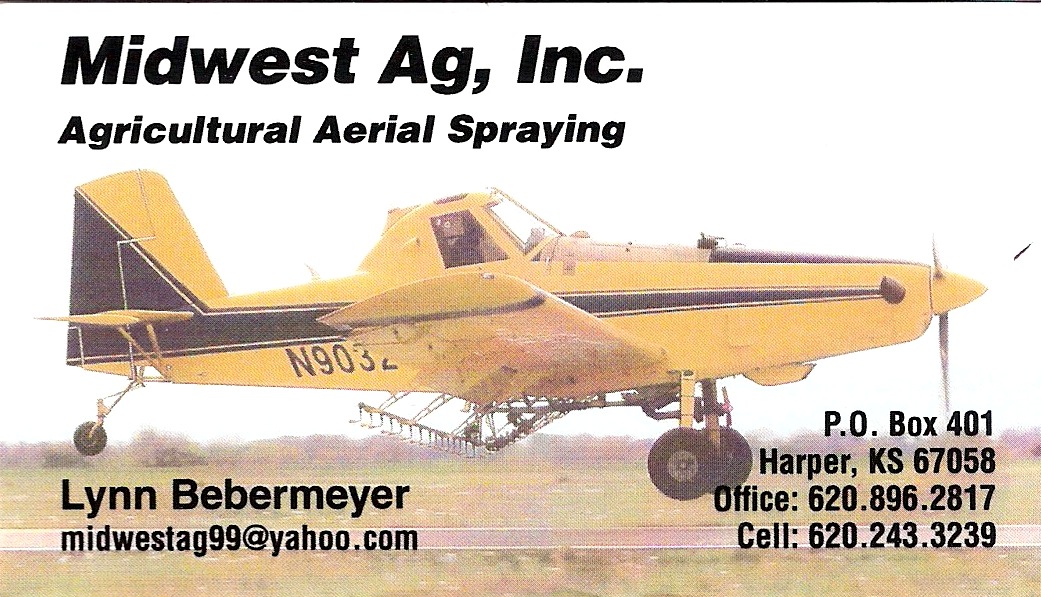
The only card that survived the flight…
Back To The Beginning
I lived in Bandon, Oregon in 1970. It is a little town on the West Coast South of Coos Bay. There you could expect fog pretty much every morning and sometimes during the day. Kansas, on the other hand, rarely has fog. It is considerably drier than The Oregon Coast and features near continuous wind. The morning of The Harper Run brought Oregon Weather to Kansas.
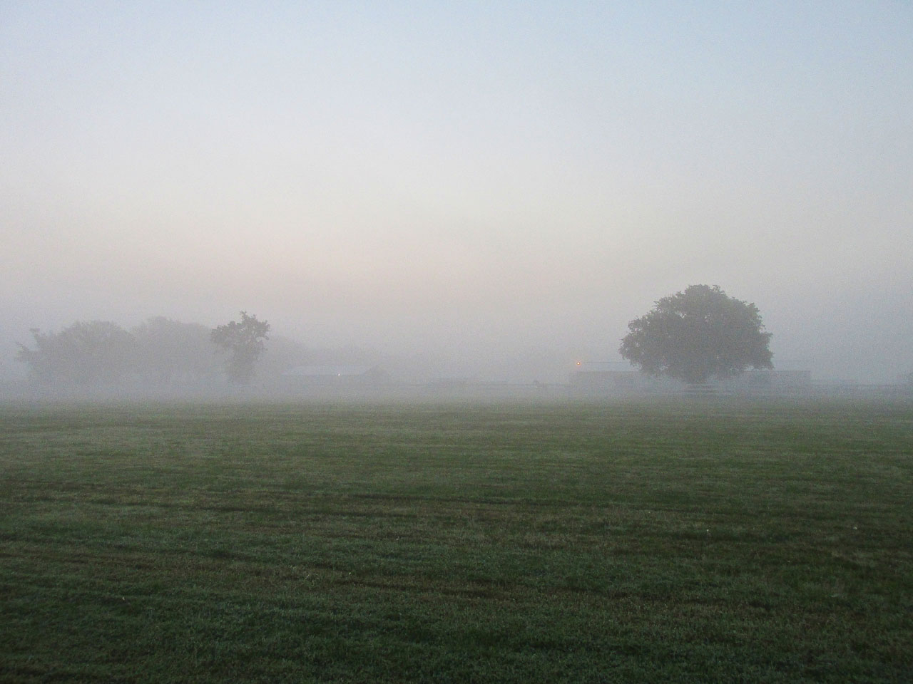
This was the view East Northeast from the hangar door at 6 am.
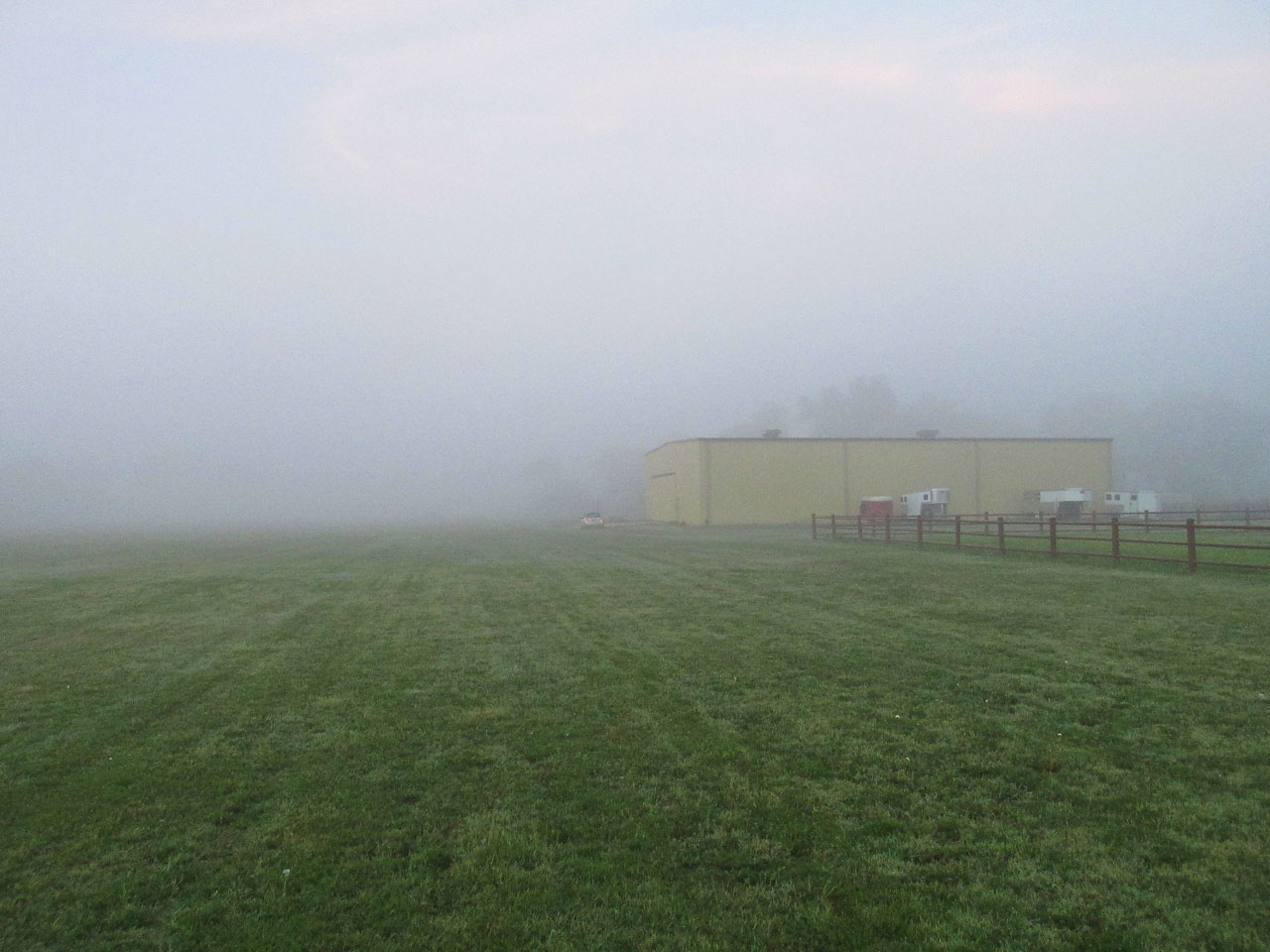
This is looking South at 8 am. You can see my Mini Cooper with its lights on in front of the hangar.
Big Project
In addition to being a Sky Surfing Safari, The Harper Run was also my second major flight with a new video camera system I have designed and been fabricating and adjusting and messing with since March of this year. After an enormous amount of testing I think I finally have something I am ready to release. When I get this footage edited, you will see and hear various Safaris as if riding the waves right there in the MXL along with The Sky Surfer. Stay tuned… I will let you know as soon as the first one is done! Soon!
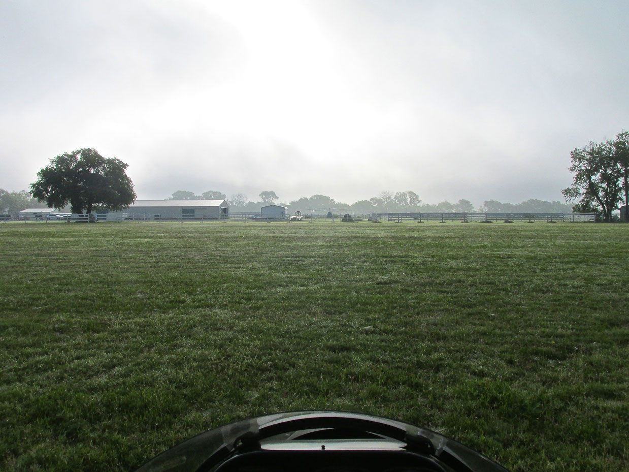
After Pre-Flighting I fired up the motor and took this picture from the cockpit at 8 am before rolling onto the active. The ground was covered with dew.
Sun “Up” but not “Out”
Between getting the video cameras mounted, pre-flighting and fueling the plane and waiting for the fog, it was 8 am before I took off. You can see from the picture above it was very bright but the sun was not breaking through the fog yet. I generally start my Safaris at sunrise but obviously flying in fog is “a loser” so I waited. Even though it is not evident in the shot above, the wind was starting to move the fog (clouds) and I could tell it was going to break up soon. Also, slight wind was beginning to manifest on the surface and, as it would be a headwind, I needed to get going.
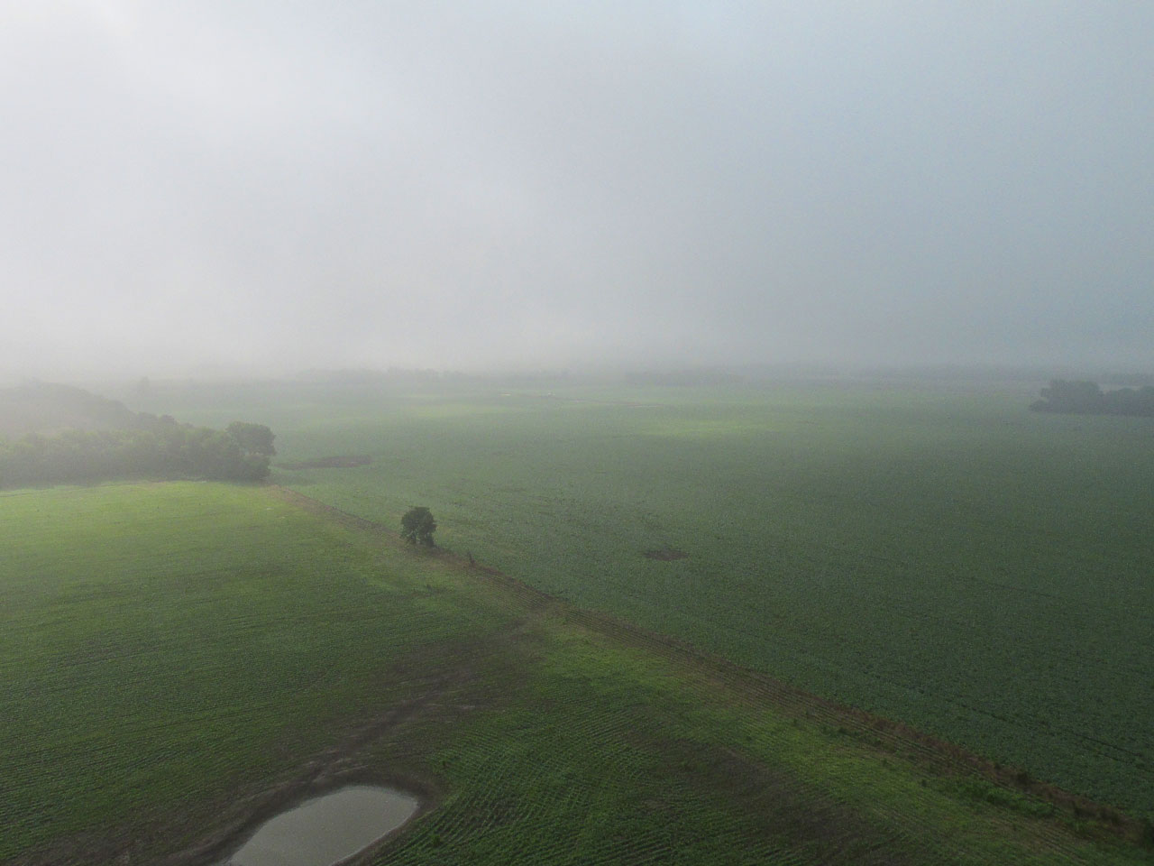
Moments after takeoff, this is the scene directly Southeast of the airfield.
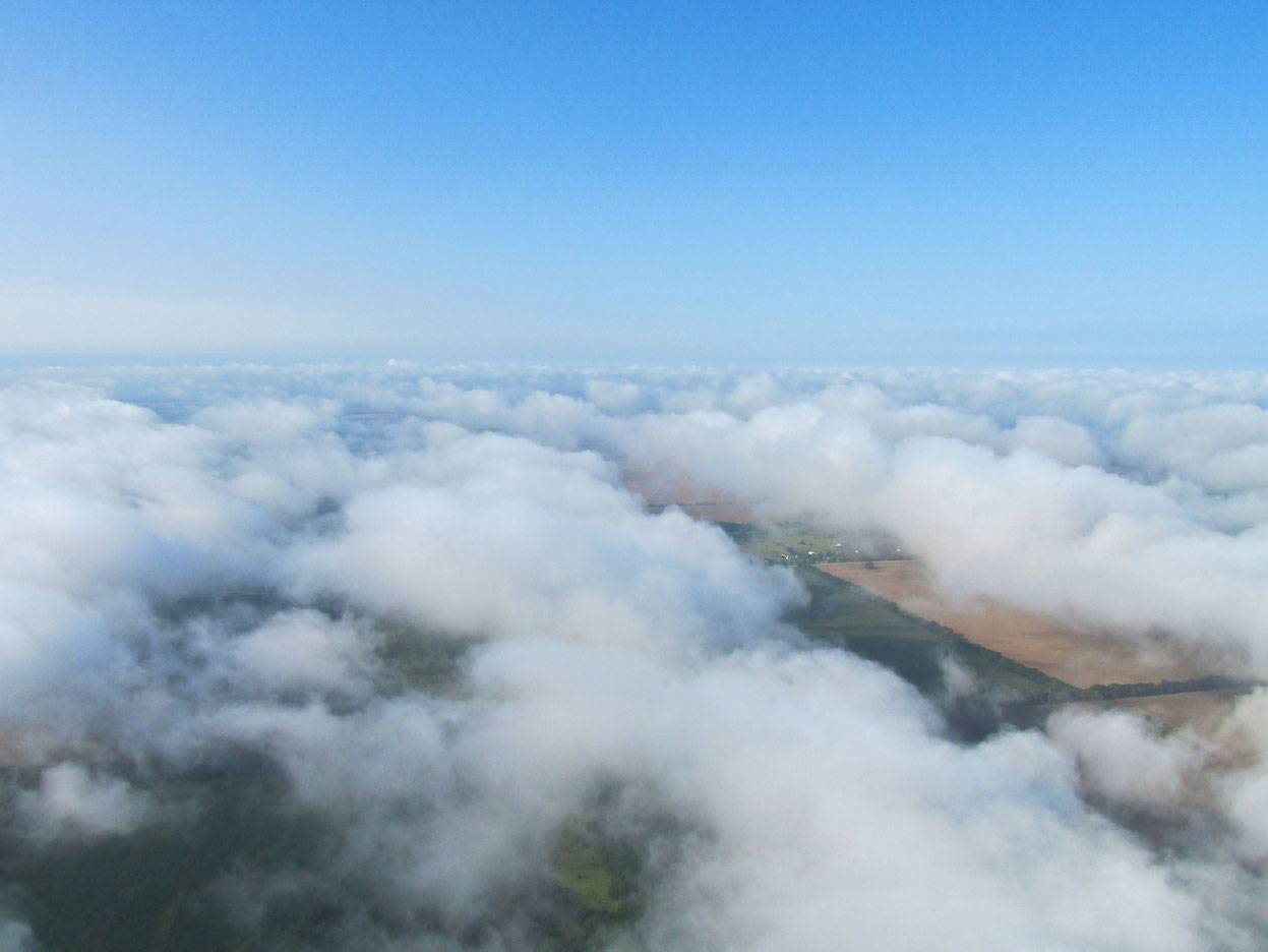
Stratospheric Safari
Within 30 seconds of taking the picture above I saw the scene below. Many times I have flown in airliners and Cessnas above and between the clouds. This was the first time in my Quicksilver, though, and I was able to rise above the clouds at only 600′ above the ground! It gave the impression of being at 30,000 feet. Any normal person would have just sat back and taken it all in. “Bit by the Shutterbug”, though, The Sky Surfer couldn’t stop taking pictures. The following are just a few culled from many. It was a very special moment – I have it recorded on video, too…
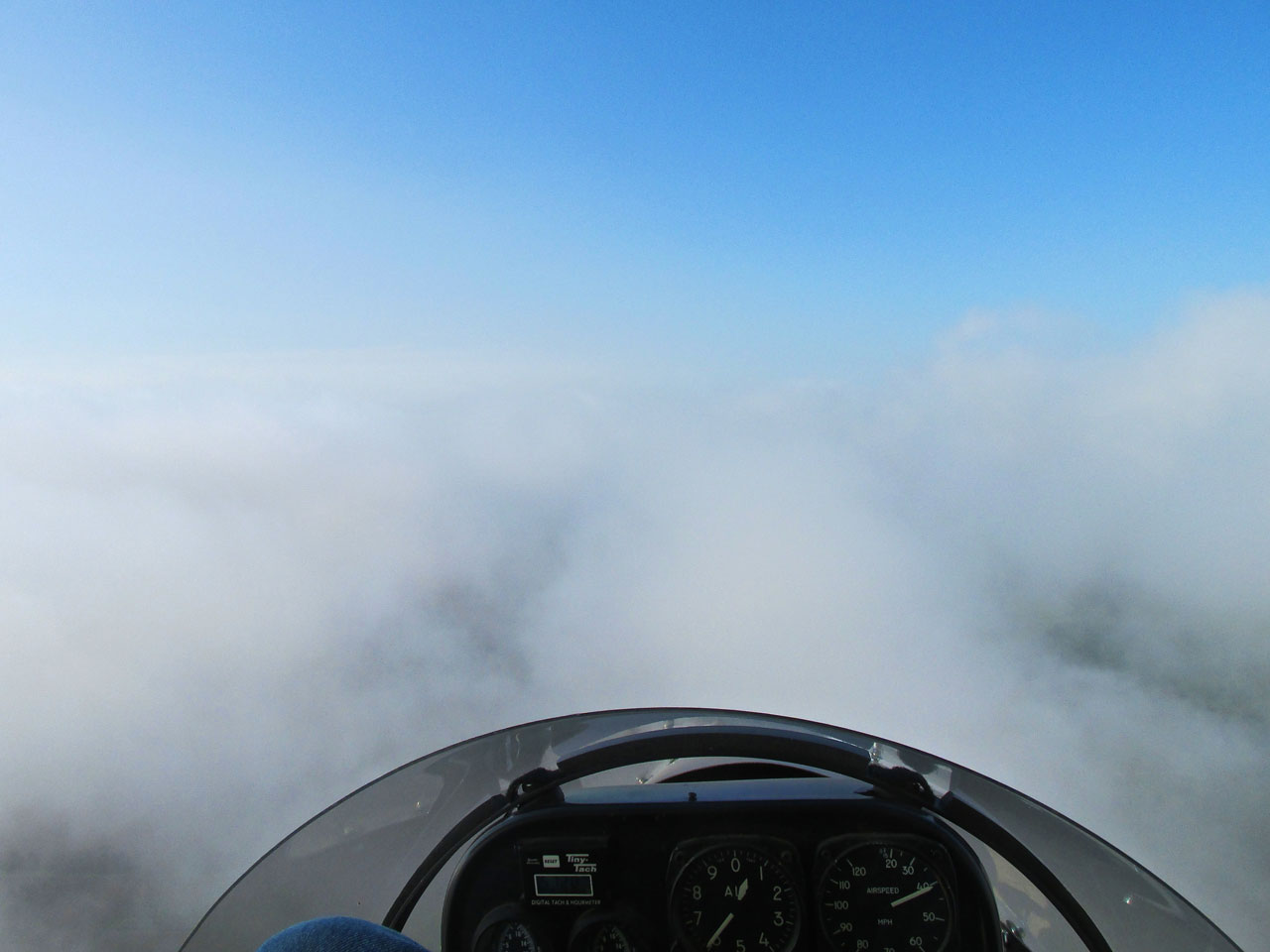
Although I had visibility of a mile upon takeoff, I broke into the clear at about 400′. In order to get some cloud clearance I climbed to 800′. This was snapped at 600′ AGL.

Looking West Northwest at 800′ AGL.

Looking West down at 1-35 from 1,000′ AGL.
Now at 1,300′ AGL and past the I-135 turnpike.
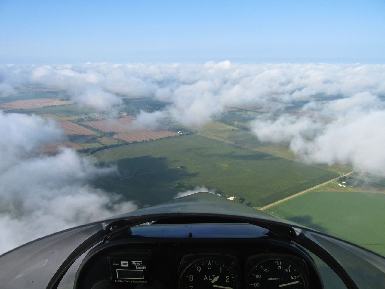
Time To Descend
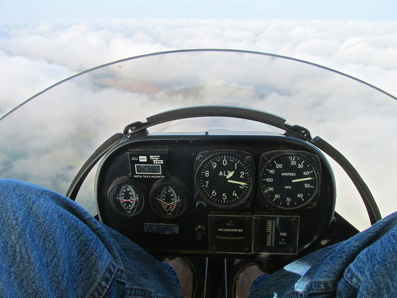
At 1,300′ AGL finally past the turnpike and “congested” farmhouse area West of Selby, I am looking for a good hole to drop down through. It is truly marvelous to be above the clouds but I am only getting 24 miles per hour across the ground and as you can see above, I am holding 5250 rpm showing 44 mph airspeed. This means I am driving into a 20 mph headwind. I’m not the mathematical genius of the family (that would be my Son Captain Jack, the Air Force physicist) but my simple calculation for a trip like this is that I need at least 30 mph across the ground with a fuel burn measured by my tachometer in the mid 4K rpms. Obviously I will have to let down soon if I expect to reach Harper.
The cloud break about 15 degrees starboard will be my tunnel. I reduced power and trimmed neutral from my climb setting.

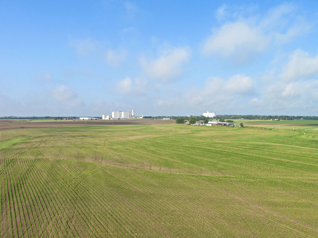
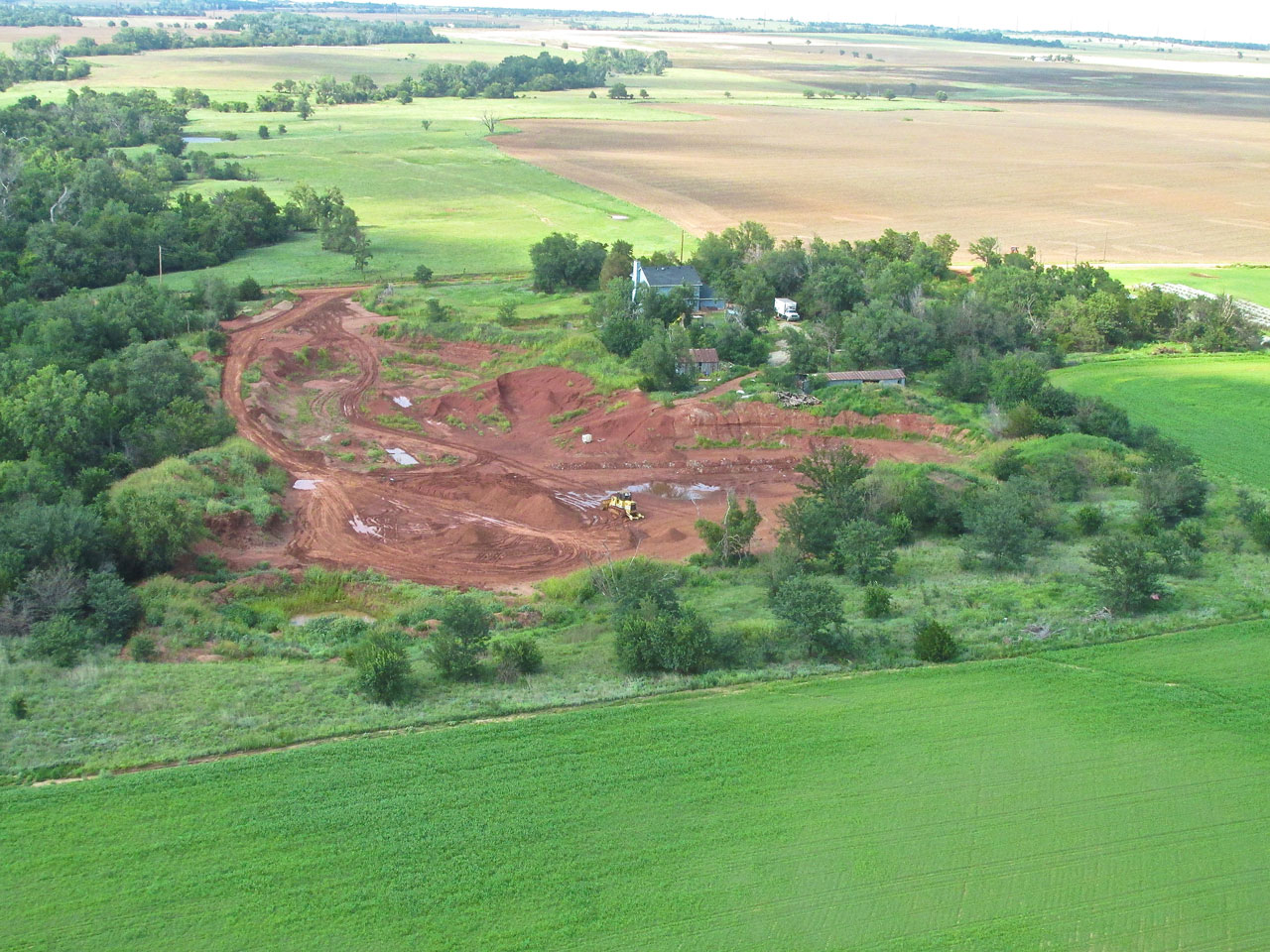
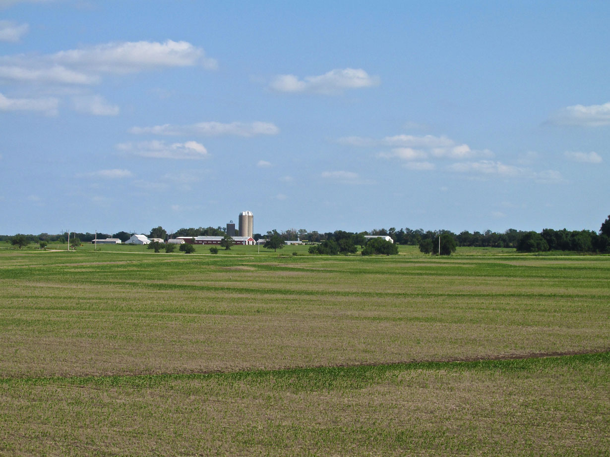
As I descended this nice looking farm caught my attention.
The Other Side
As I write this, I hear Jim Morrison singing “Break On Through (to the other side)“. I don’t think ” the other side” he’s singing about is the same as “the other side” of my flight…
Getting ready to “Break On Through”
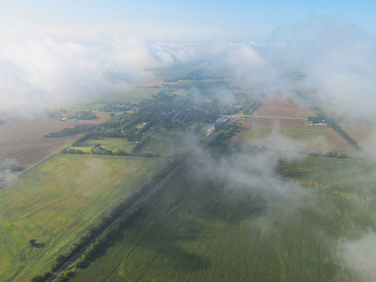
As I drop through a hole in the cloud layer I see Peck, Kansas off to the South.
Flight Level 50
After descending I reach Ultralight Flight Level 50 and level off. It is shaping up to be a Beautiful Kansas Day. The 20 mph wind at altitude will be making its way down to the surface but at the moment shown below, it is only slowing me about 5 mph.
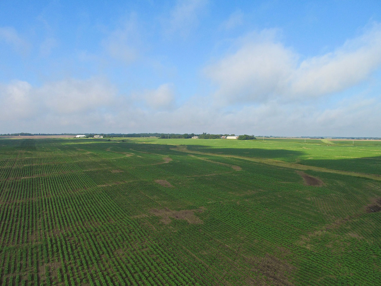
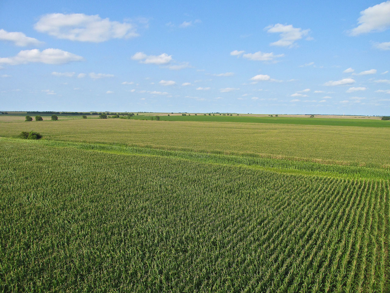
The sun cuts through to enrich the row crops and grazing land spread out below.
Relatively Short Flight
I intended to make a Safari to Harper for some time but chose it that day because it is a relatively short distance from Selby Aerodrome – 44 miles. I had been having trouble with some the batteries of my new video cameras and hoped to have a full compliment of “eyeballs” for the entire trip. I figured The Harper Run would probably take about 1.5 hours so that would hopefully allow for video of the entire flight with cameras claiming 2 hour battery time…
Conway Springs
Halfway between my home field and Harper is the town of Conway Springs, Kansas. This town is known for what they call “the best water in The United States”. In the early 1900’s, people would come from all over to drink it and bathe in it. The Spring House was rebuilt in 1999 and you can see the clear, running water there today. Hmmm… Water. Maybe waves? This sounds like a place The Sky Surfer needs to visit. Mark that down on the Surf Log!
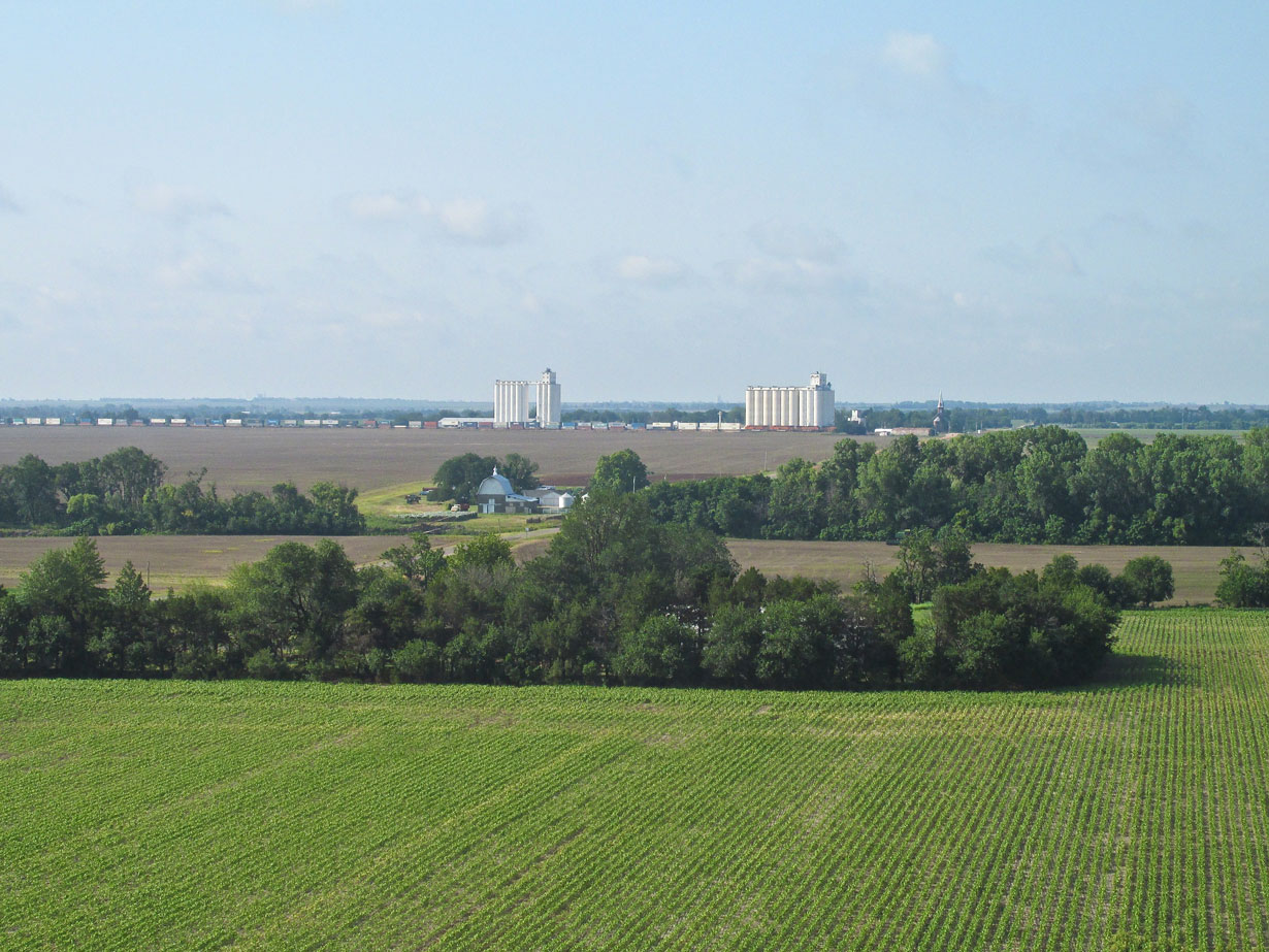
Conway Springs, Kansas at 100′ AGL from the Northeast.
Grazing the North side of Conway Springs at 500′ AGL, we see the downtown area. Grain elevators are a central fixture in this as in most Kansas towns.
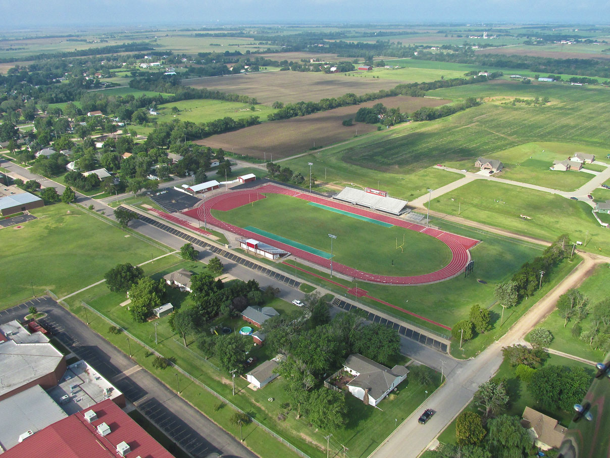
The combination Football Field and Track of the Conway Cardinals. It is obviously well maintained.
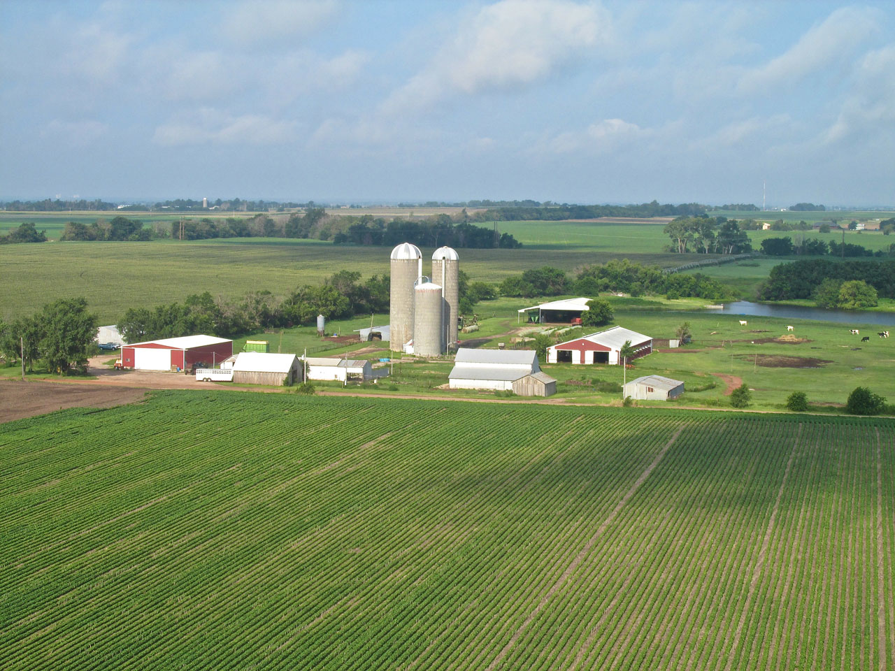
West of Conway Springs this farm caught my eye. I am partial to round top silos.
38 People A Town Makes
As I continued my relatively short flight to Harper I saw a train running through Danville, Kansas which is about 7 miles East of Harper. I veered a little farther South than my course called for to get a closer look. Danville was founded in 1880 by Mrs. J. E. Cole as “Coleville” but when she sold it, the town was re-named Danville in tribute to Danville, Ohio. It is home to the Danville Co-Op that has offices in towns across the region. At the most recent census, 38 folks call Danville home.
Danville, Kansas from 100′ looking South.
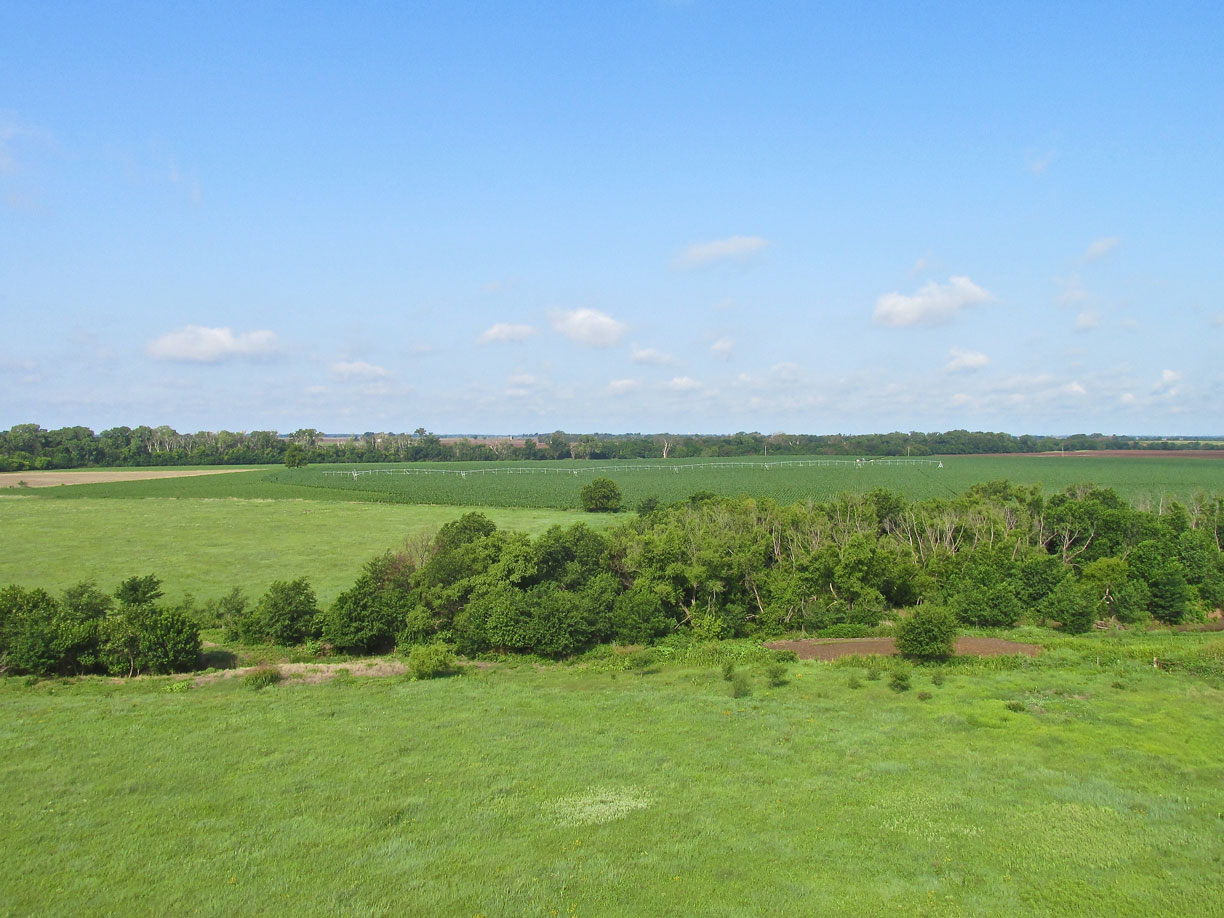
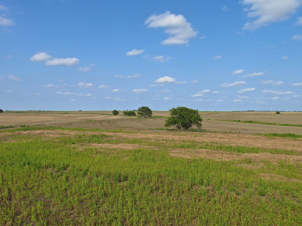
There is nothing more to say about this photo than that it mirrors the bucolic beauty I see throughout the hour and a half flight to Harper.
Something New Every Flight
In retrospect it seems pretty obvious but at the time it was quite a surprise…
Above I said I veered a little South to get a closer look at Danville and upon doing that I decided it would be neat to fly next to the freight train that was passing by at the time. I could see Harper not too far away, I had plenty of gas in the tank so I poured on the coal to intersect the train. Over the previous half hour the wind near the surface had risen to about 15 to 20 mph and gusting. It was out of the South and that caused it to whip over the top of the train and then “dive” down on the leeward side. Picture in your mind how fast moving water in a creek flows over medium or large stones and you will understand what the air was doing over the train. In addition, it was cutting between each car causing differences in velocity. On top of all that, the motion of the train itself was putting off a lot of turbulence into the atmosphere.
Because I was fighting a significant headwind, I dropped down to the surface where it was less pronounced. The train track in that area is raised so I was actually looking up at it as I approached. About 100 yards North of the track all the effects I described in the previous paragraph became manifest. I was suddenly hit by some very dramatic turbulence requiring what one might call “dramatic roll control inputs”. After fighting that for about a minute I realized I wasn’t going to get any pictures because it was just too rough. I got smart, climbed above the “trash” and shot the photo below.
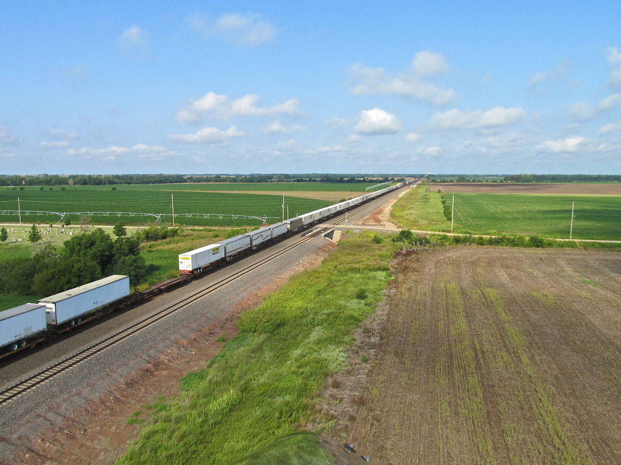
A freighter hauling highway trailers heading West into Harper.
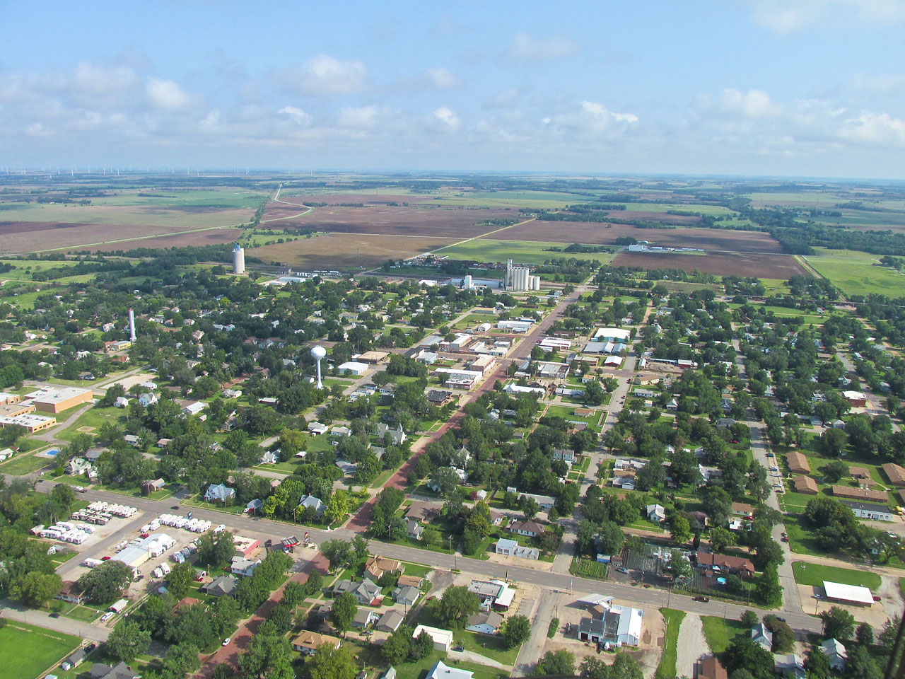
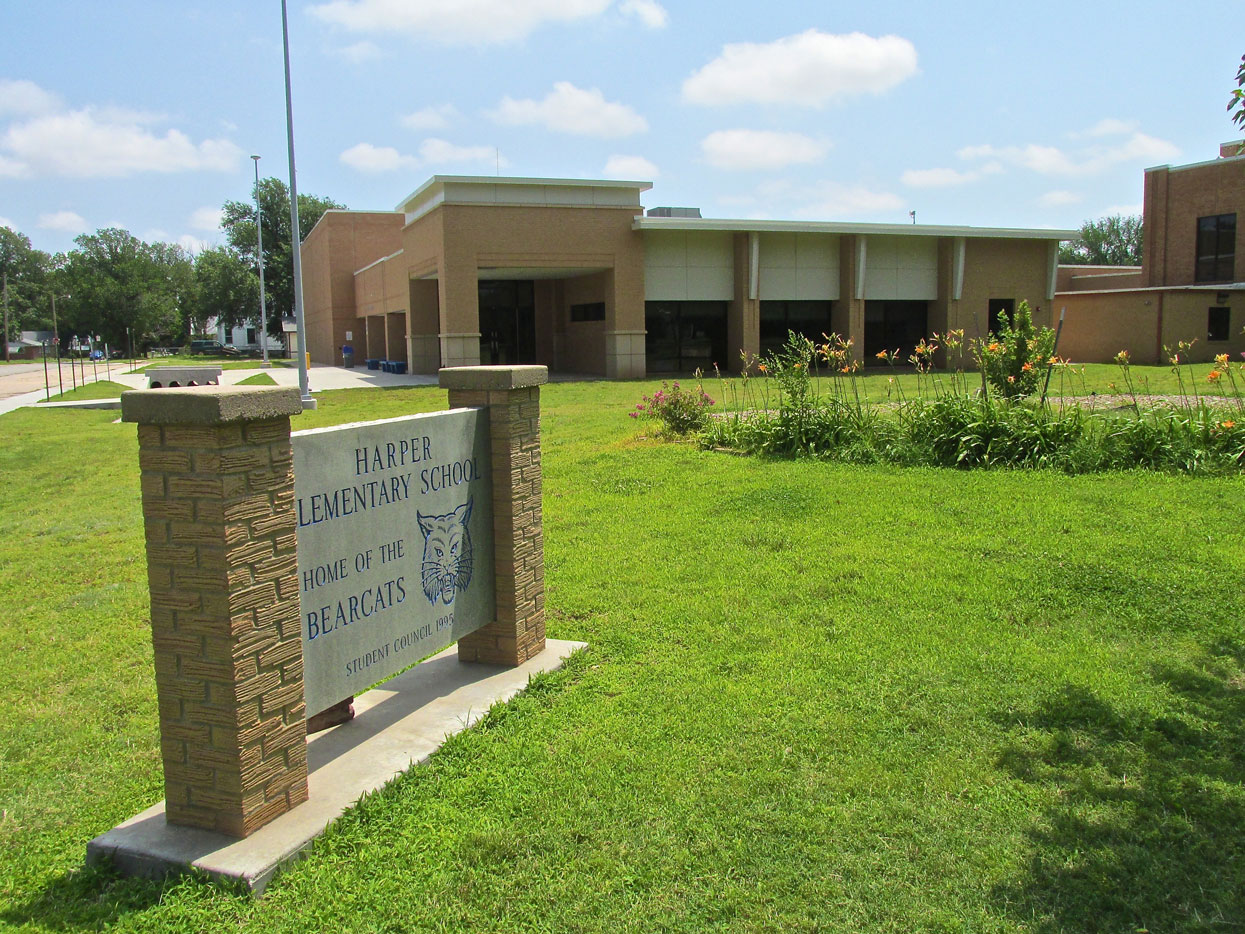
Harper, Kansas – A Legacy Of The Civil War
Founded in 1877 by a group from Ohio, the town was named in honor of fallen Civil War Hero Sergeant Marion Harper of the 2nd Kansas Cavalry. These days nearly 1,500 people reside in the town. It features a good number of manufacturing concerns, two banks, many restaurants and a well maintained airstrip on the Southeast edge of town. Big annual events are The Harper County Fair and a Pancake Feed.
Looking West over Harper from 500′ AGL.
While climbing to altitude to enter the airport traffic pattern, I took a number of pictures of the town. This is from 800′ AGL looking Northwest.
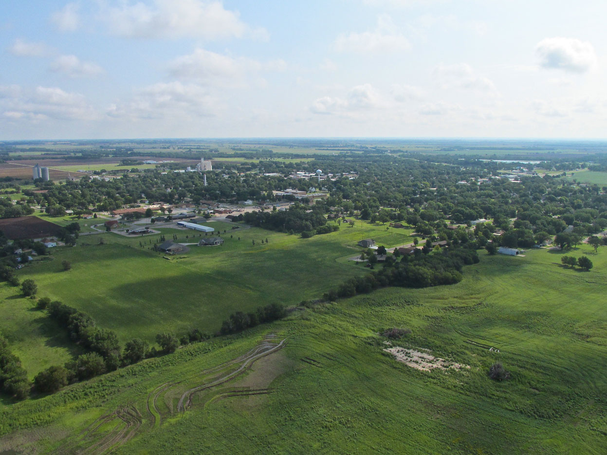
From 1,000′ AGL looking Northeast. I am on the Downwind Leg of the airport pattern.
8K2
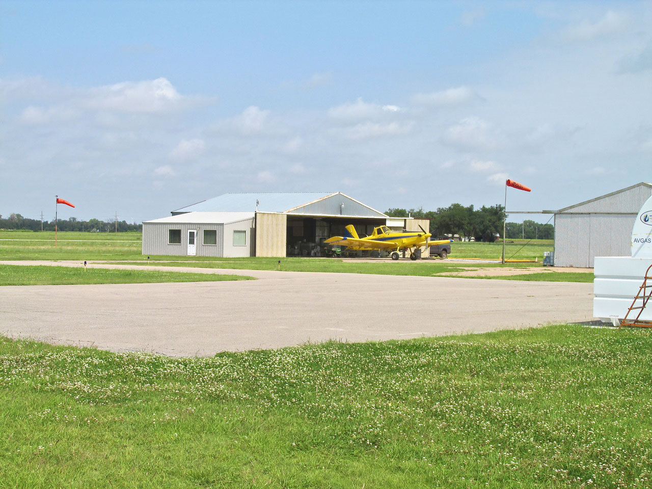
Preoccupied with getting pix of Harper, I waited too long and was too close to get what I consider a good shot of the Municipal Airport. Normally I like to show the entire runway… The North/South runway is asphalt just over 3,200 feet long with the addition of a NW/SE grass strip intersecting on the West side of the main. It has a modern, self serve fuel system that takes credit cards.
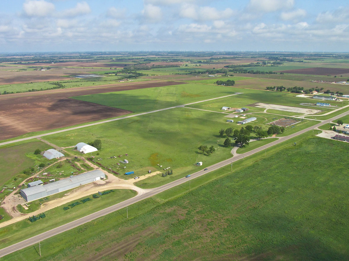
Harper Municipal
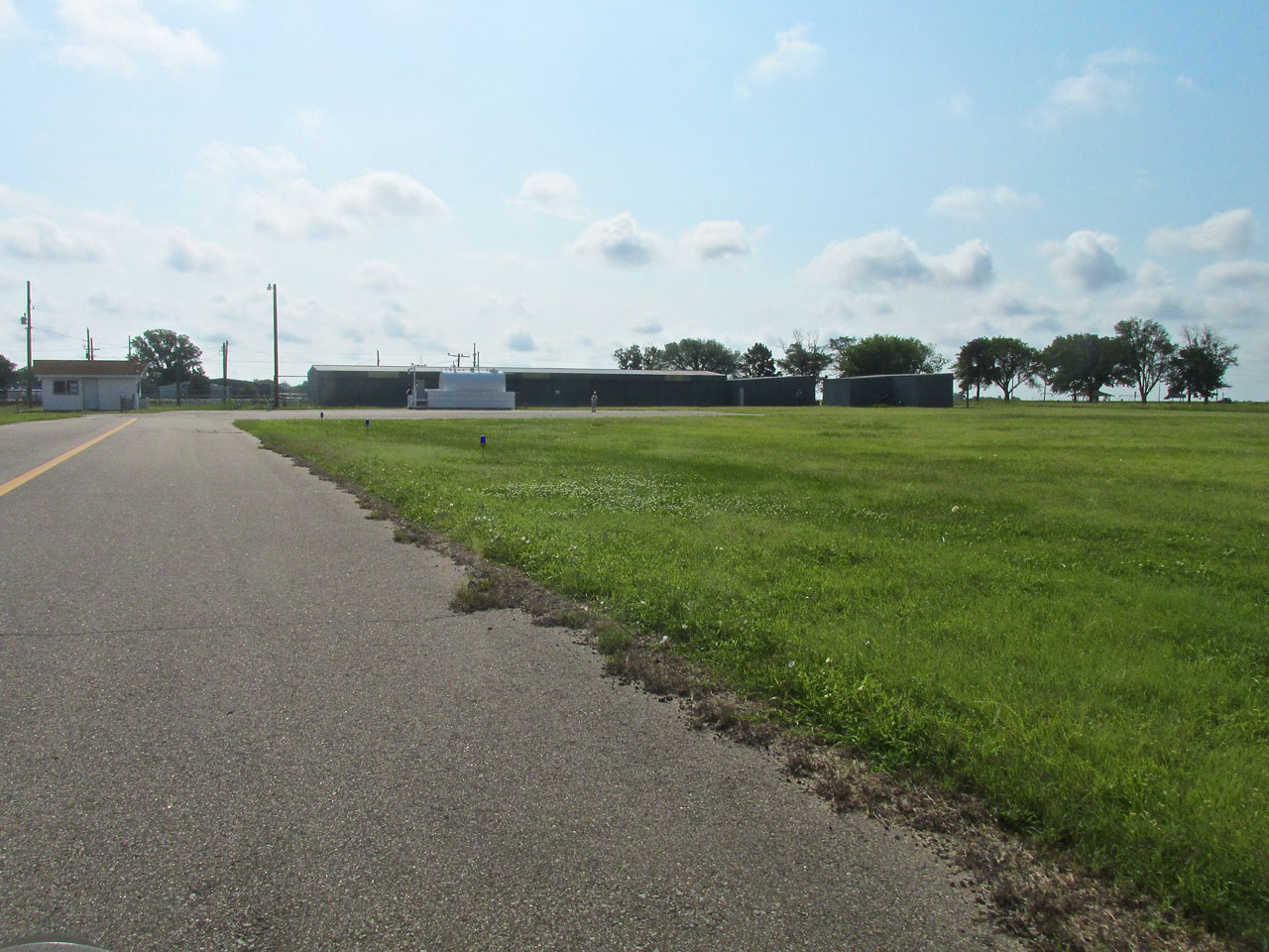
One Man Welcoming Committee (at first)
Just after exiting the runway I saw a lone figure run from behind the row of hangars to see what had just dropped out of the sky (me). Camera always at the ready, I snapped the shot below. This was no mean feat as by that time the South wind was wanting to make me go in directions contrary to my desire.
Future aviator spies an unusual visitor.
Look What The Wind Blew In
As I taxied in young Kayden, attempted to direct me to the tie downs near the fueling station. Having been around airplanes for much of his life, the young man expected that was where I needed to go. Winds gusting to 20 provide a different scenario for an Ultralight, though. Conditions such as those can push along or even lift up an Ultralight once I exit the craft. Special measures are called for. I motioned that I would be parking on the leeward side of a “T” hangar that faced South. It is the hangar in the photo above to the extreme right. This would provide a “wind shadow” for my MXL and greatly reduce the power of the wind. I carry my own tie downs with stakes and hammer to pound into the ground.
After coming to rest behind the “T” hangar, I shot the picture seen below. Once I shut down the engine, I gave the two fellow aviators a tour of the Quicksilver before doing my “tie down housekeeping” in preparation for heading into town.
Bob Welch owns Welch Machine Inc. in Harper. They make parts for Spirit Aero and other aerospace concerns. He had come to the airport to dust off his Piper which is kept in the hangar behind them in the photo. Kayden came along to help.
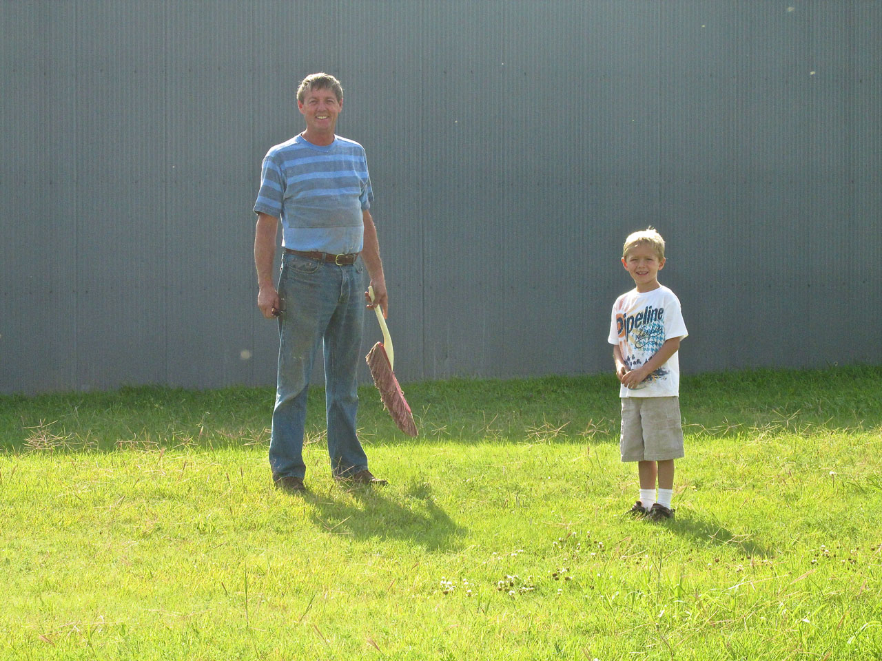
Bob Welch still holding his California Duster and Grandson Kayden.
Here we see my MXL safely ensconced to the Northeast of the hangar providing protection against the Southwest wind.
Lynn Bebermeyer – Professional Pilot
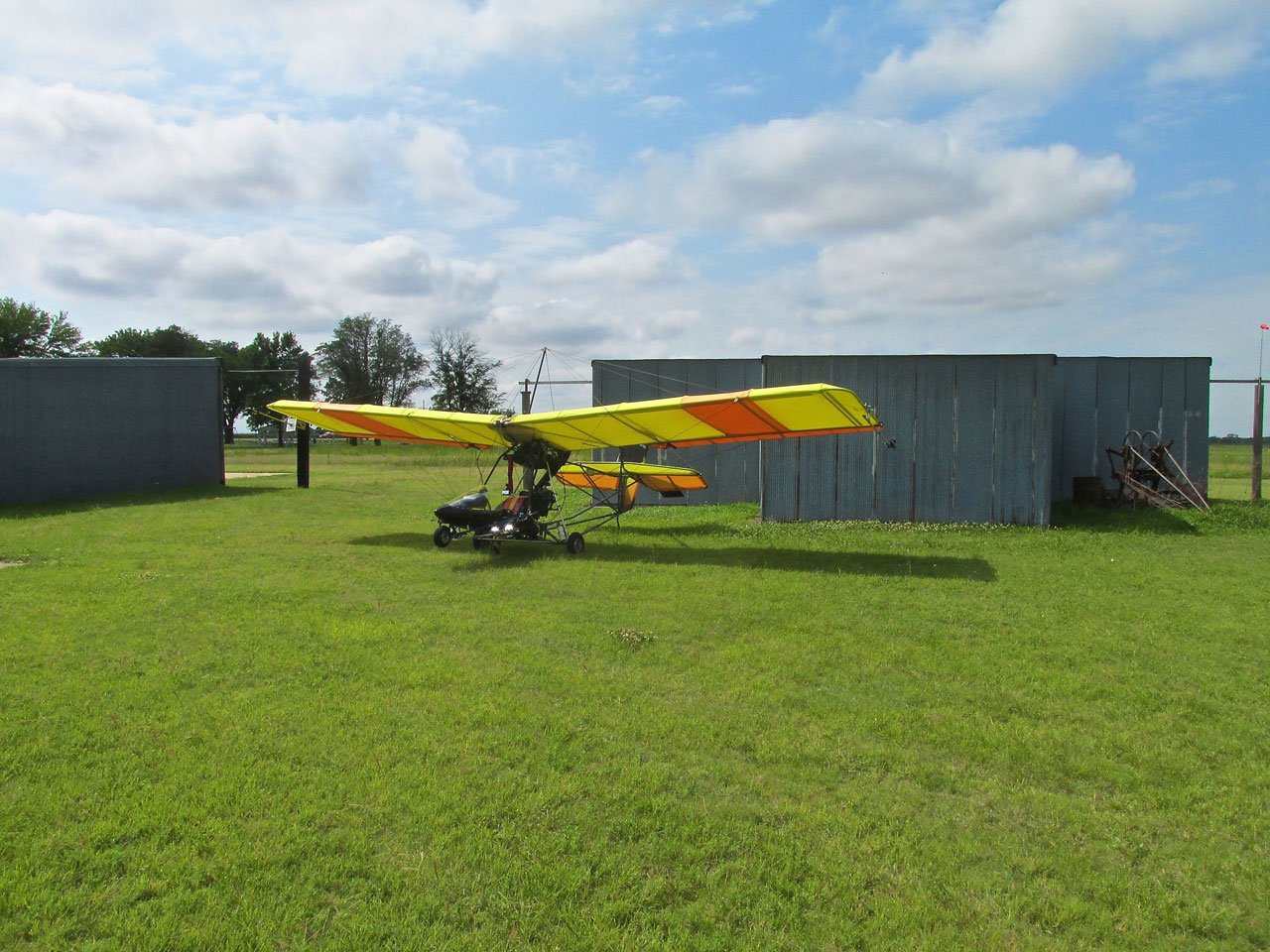
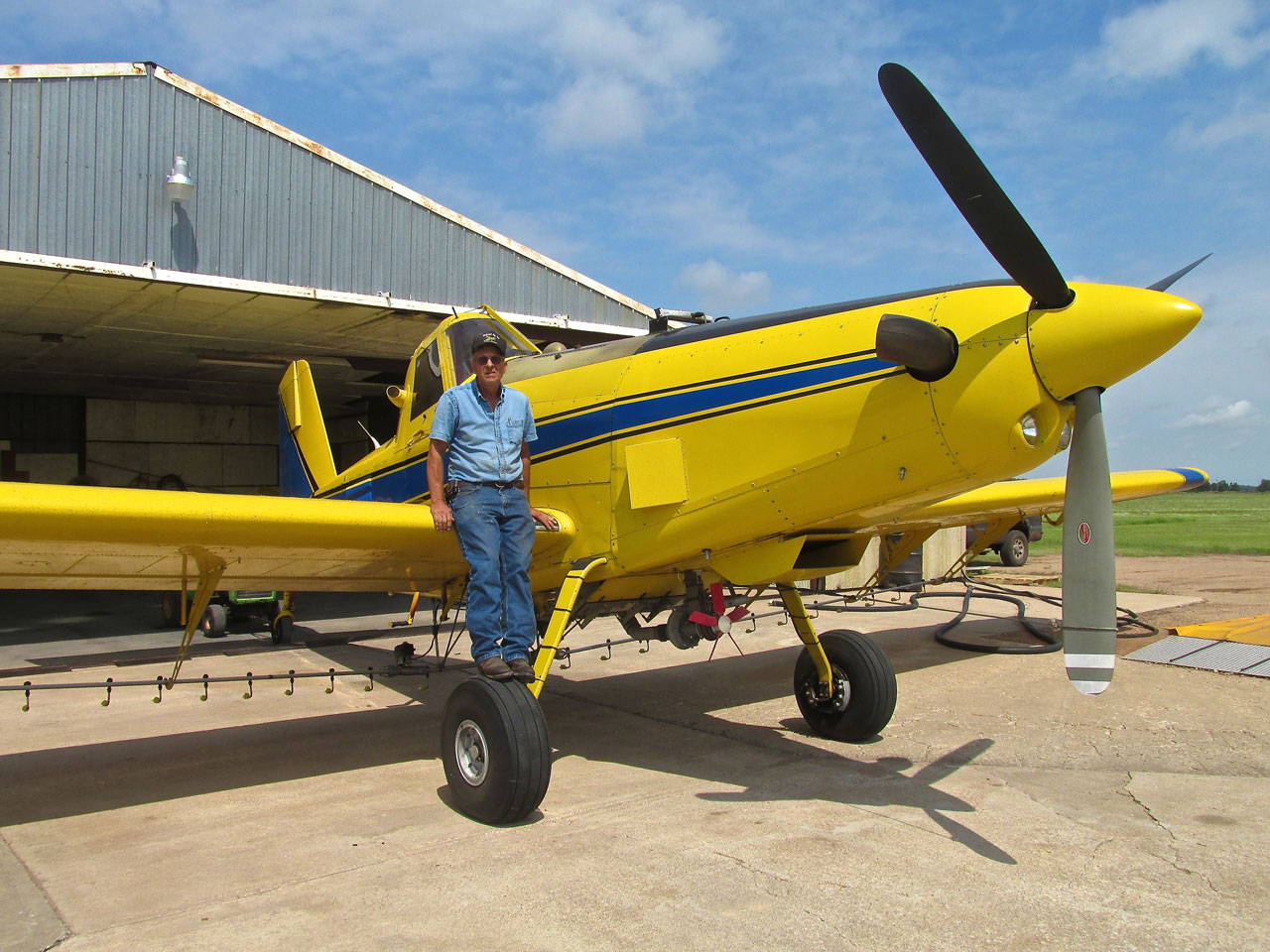
After tying down the Ultralight I looked across the field to see another lone figure approach. It was Pilot Lynn Bebermeyer the principal of Midwest Ag which is located on the field. After pulling his marvelous machine out of its hangar, he sauntered over to examine the little, yellow butterfly that had alighted at his field. Lynn flies the venerable, turboprop Air Tractor 402 Model made in Olney, Texas. Air Tractors are impressive machines. Aerial Crop Dusting is one of the secrets to the success of American Agriculture.
Lynn pulls his Air Tractor out of the hangar to wait for favorable winds.
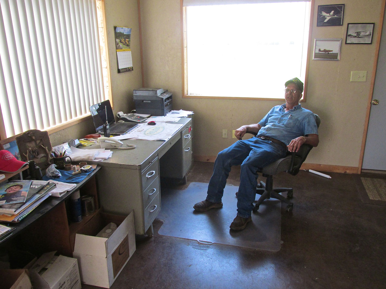
The Bebermeyer Office is large and functional with a good view of the runway.

The consummate aviator, Lynn also flies Radio Controlled Airplanes.
Additionally he owns an immaculate J-3 that he keeps in one of the airfield’s hangars.
All Fliers Are Meteorologists
As you could see in an earlier exterior photo above, both windsocks are standing almost straight out. Lynn had a field to spray that day and was readying his plane for quick response when the conditions would warrant. I learned that the aerial application business is all about timing. You have to spray in the right conditions so the material lays equally across the field and you have to spray when the time is right for it to perform its job effectively. Even though I fly much slower, I was able to confirm with Lynn many observations I have made regarding the way wind interacts with the terrain. He laughed when I told him about my experience next to the train and commented “trains put out a lot of turbulence”. That’s for sure…
After Lynn showed me around his business I figured we needed one of those World War II type photos of Pilot and Plane so I cajoled Lynn to jump up on the “Tractor” tire.
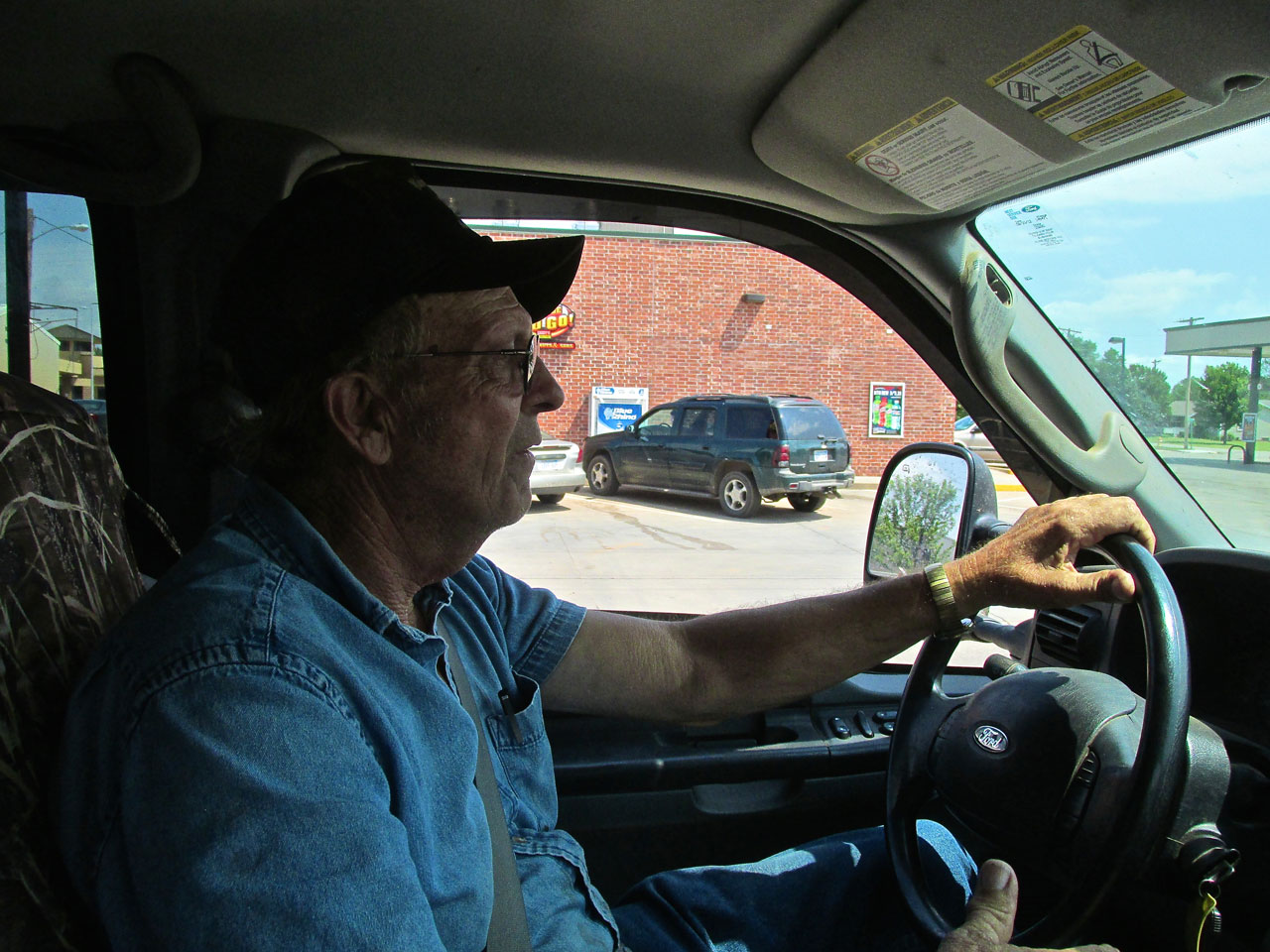
Truck Makes Short Walk Quicker
After Lynn watched me tie my plane down he insisted on driving me into town so I wouldn’t have to walk. It is about a mile and a quarter to the center of Harper so this was quite welcome.
A Central Fixture
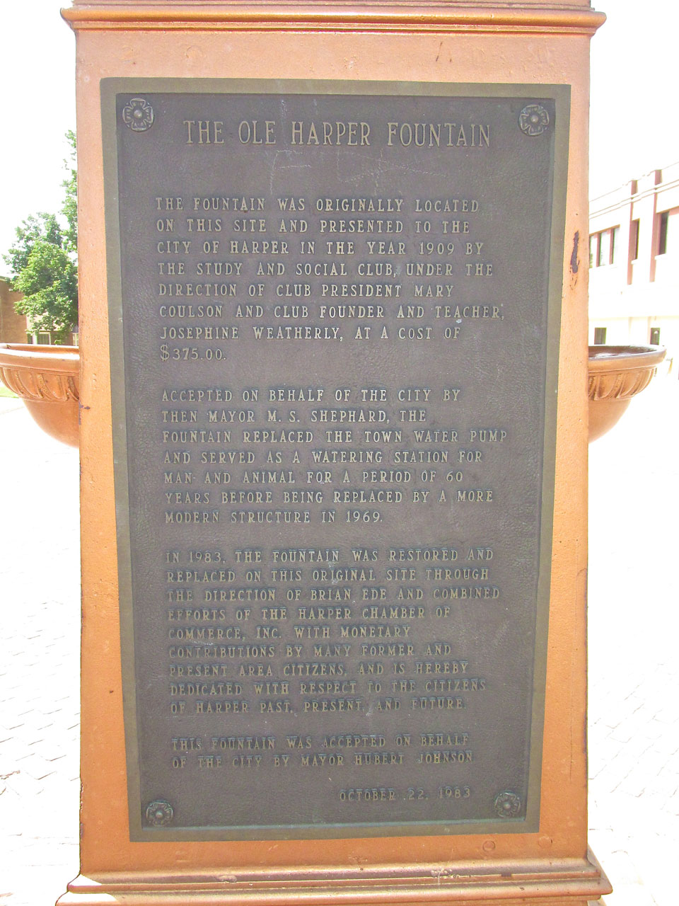
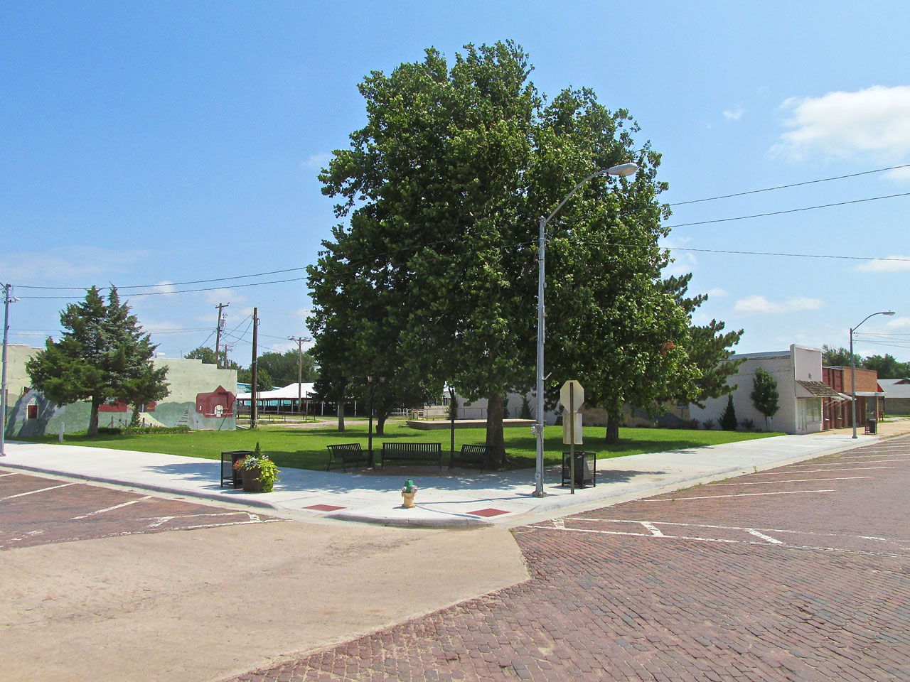
After a swing around town to acclimate me, Lynn dropped me off at the intersection of Central and 10th Street – pretty much the center of town. It is here that a Public Fountain was constructed over a hundred years ago. Rising up from my favorite brick streets, this latest iteration of the fountain was erected in 1983.
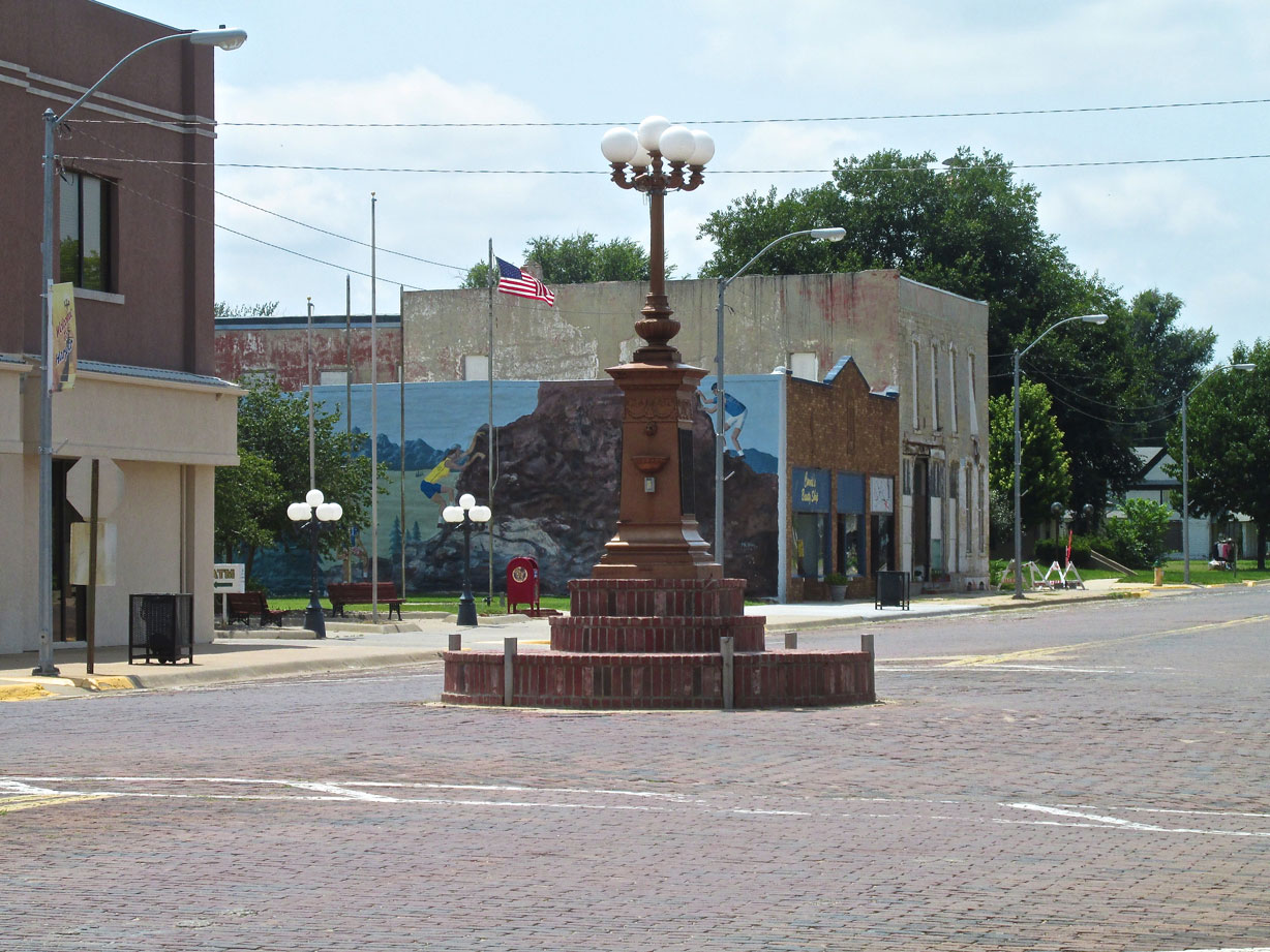
Behind the decorative fountain you can see one of many murals that grace the downtown area.
Looking Northeast from the Water Fountain is where the Pool Hall used to be and next to it was “Ed’s Dine & Dance”. Both of them burned down in the early 60’s.
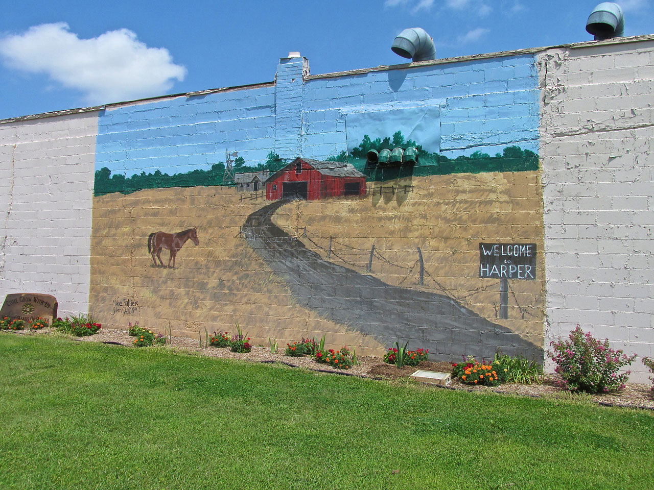
Obscured by the tree in the photo above was this welcoming mural by Mike Fallier of Wichita, KS.
In the same square is this one featuring an old barn.
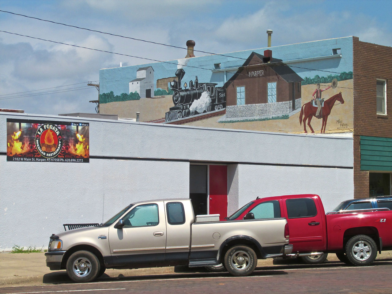
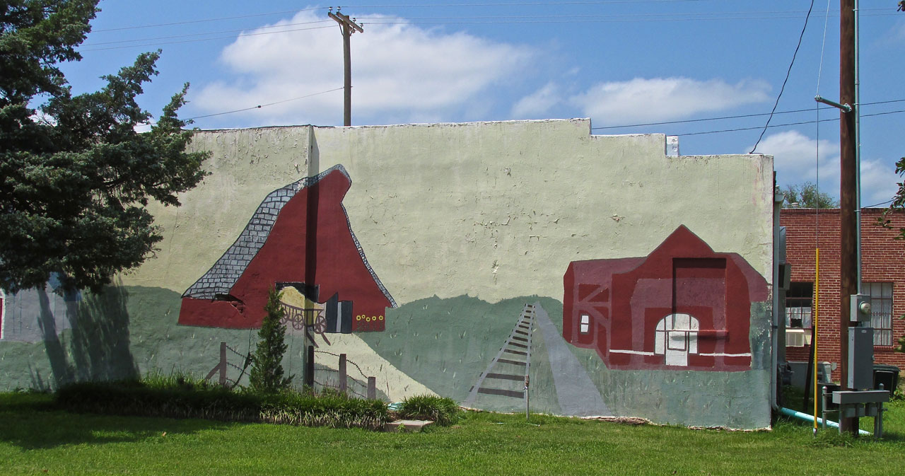
Facing Northeast from the fountain, Mike strikes again with an interesting piece commemorating the railroad. It is above La Fogata Mexican Restaurant.
The Aviator Takes Foot
The Sky Surfer’s Method (if we can call it that) after landing at the airport or a field outside town, is to walk around and “see what he sees”. Camera ever at the ready, he documents what is happening at the moment he is there. If he is fortunate, he meets local folks who steer him to points of interest. The Sky Surfer has boundless curiosity, has never been to a town lacking in charm and feels blessed with this hobby.
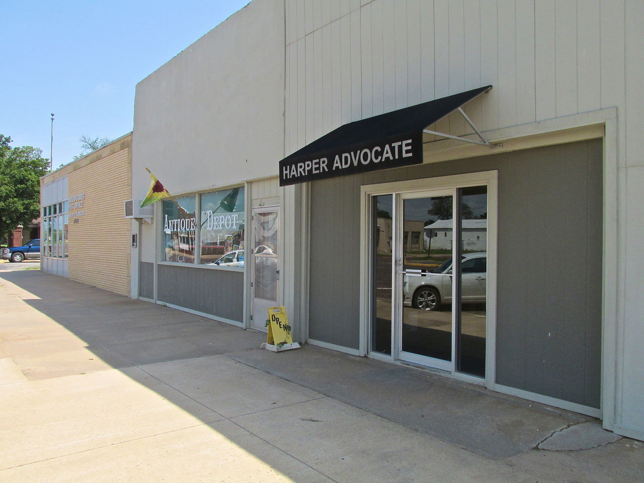
Harper has an active newspaper located next to The Antique Depot and city Post Office.
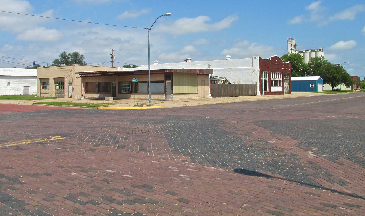
Lynn told me The Harper Opera House used to be where the truck is parked between the two buildings on the right of the picture. The Opera House is gone but at least the brick streets I love are still intact.
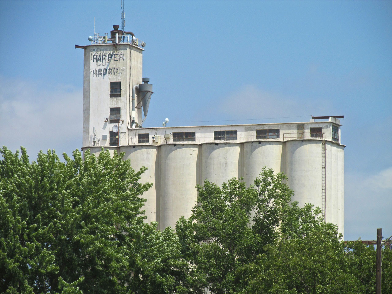
Like I said before, no Kansas town is complete without a grain elevator.
The Harper County Fair
Harper is host to The County Fair every year and I came across some of the facilities used for it. I initiated the Sky Surfing concept in 2011 after a flight to Kingman, Kansas. While wandering around that town I happened upon The Kingman County Fair and decided to report on it (The Kingman Story is Here). I have continued reporting on the “small town life” when I venture out on my “fun flights” ever since.
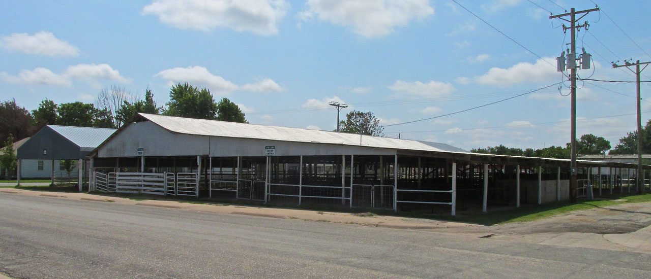
One of the fair’s livestock buildings.

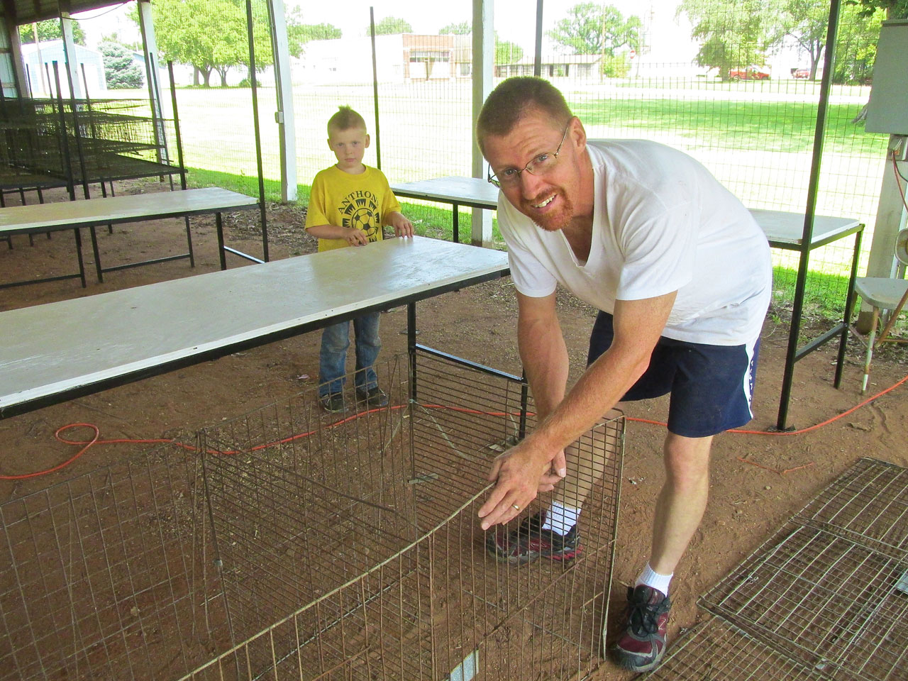
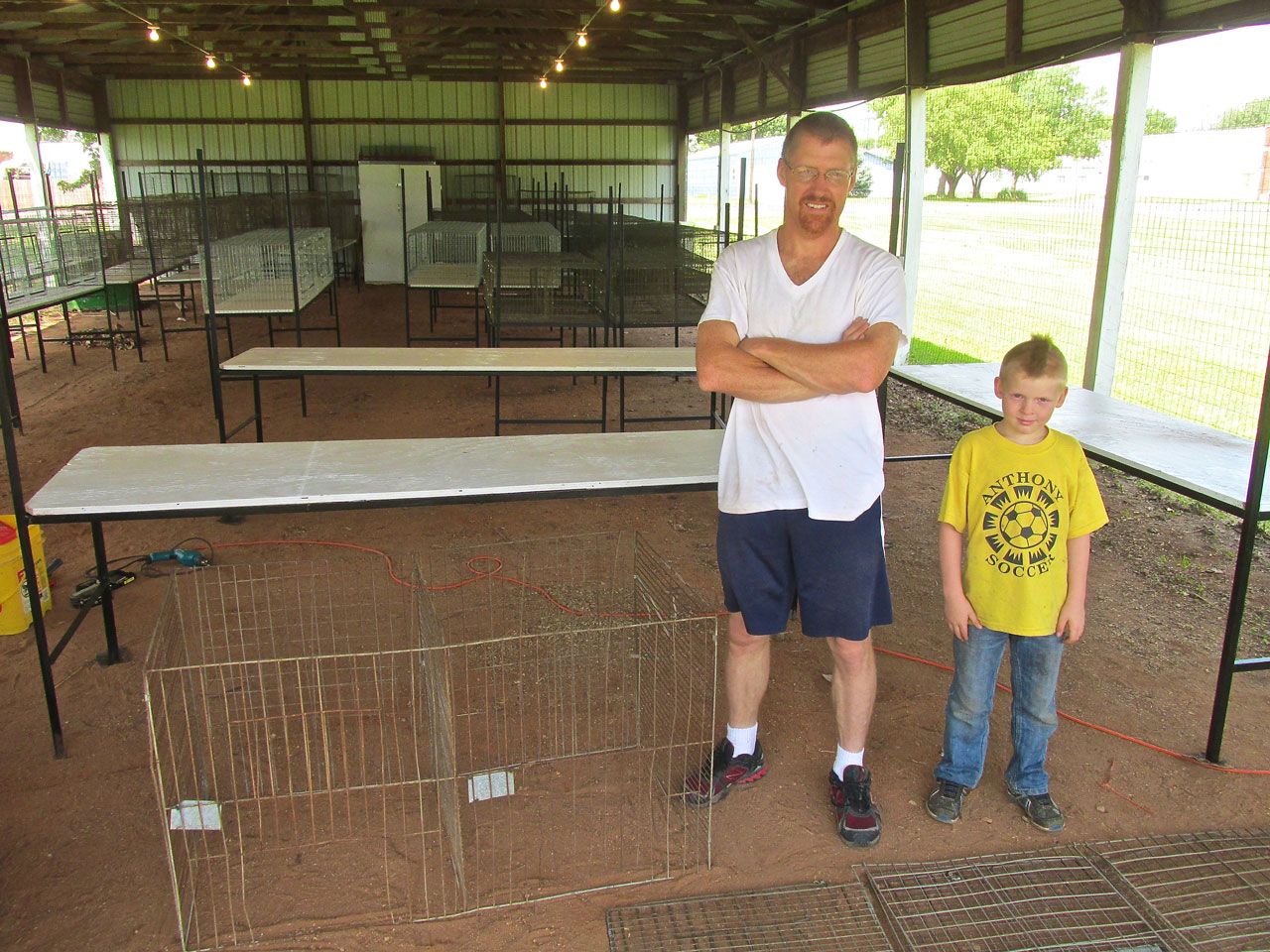
Rounding the corner I saw some action…
Father & Son On A Saturday
After introducing myself I got a couple of shots of these two working on some cages for rabbits and chickens in preparation for the fair. I remember they live South of town and the Dad works in Wichita at an aircraft plant but I lost their names when my notes went overboard. If anyone knows them, please drop me a line and I will insert their names.
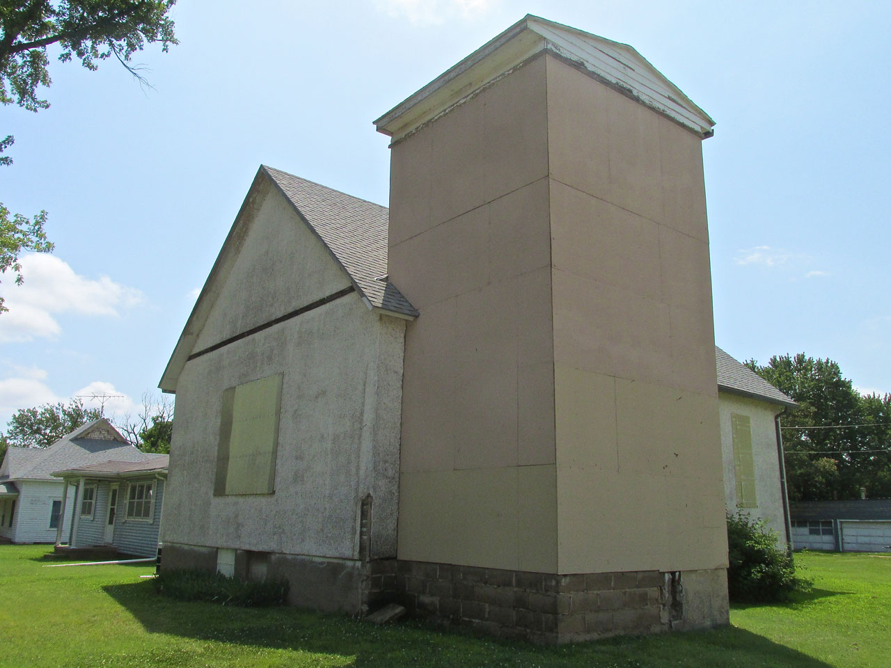
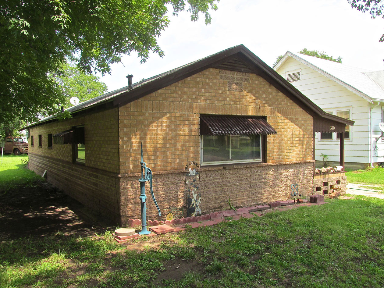
A Church all boarded up.
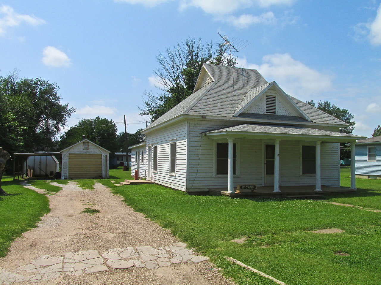
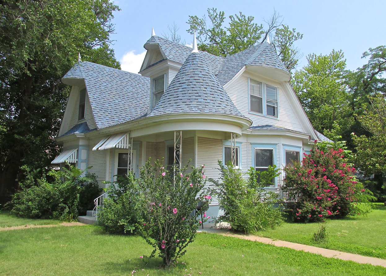
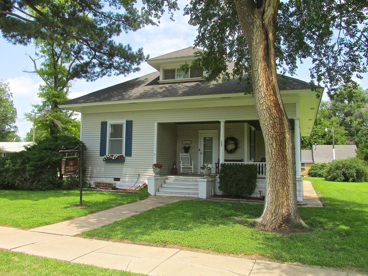
I liked the look of this white house with the columns at the porch.
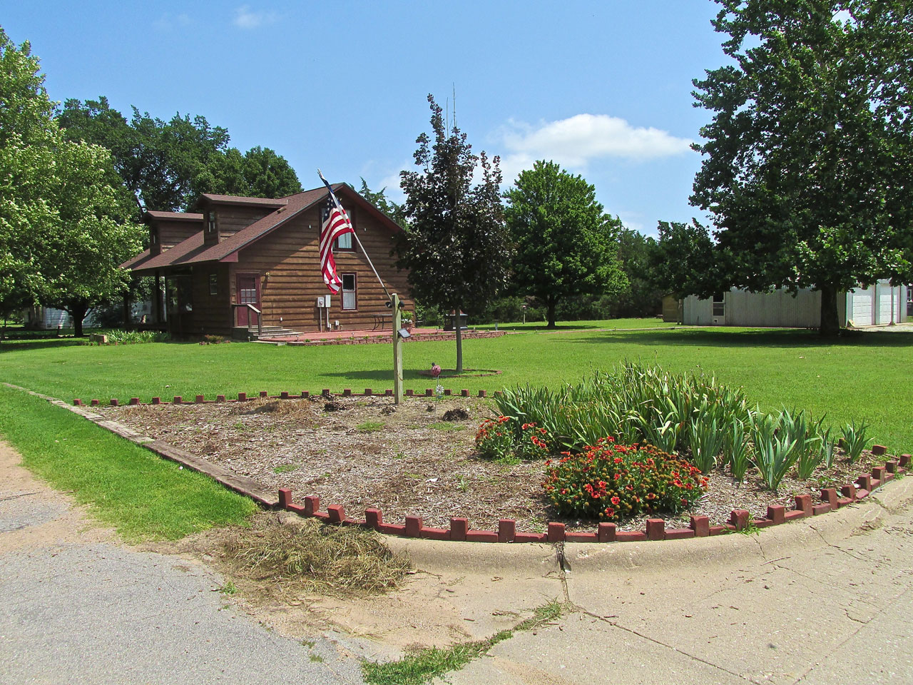
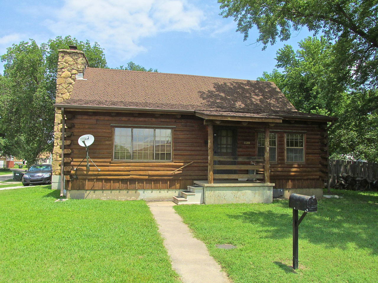
A log-style house with pleasant landscaping and a Patriotic Touch. My Wife and I always have an American Flag displayed from our porch, too.
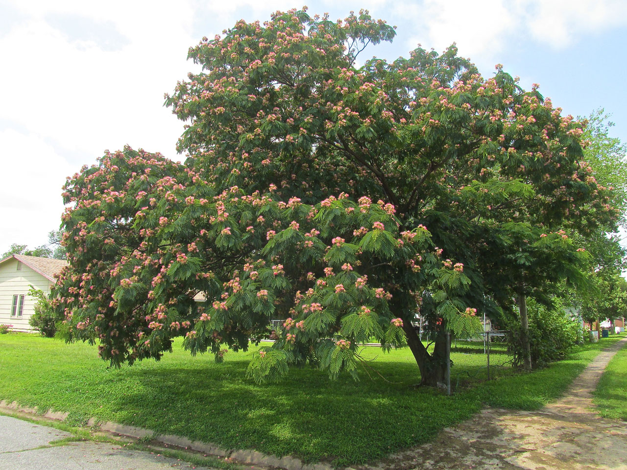
A beautiful, flowered tree. My Wife Debra would be able to tell me what it is but she is not around at the moment…
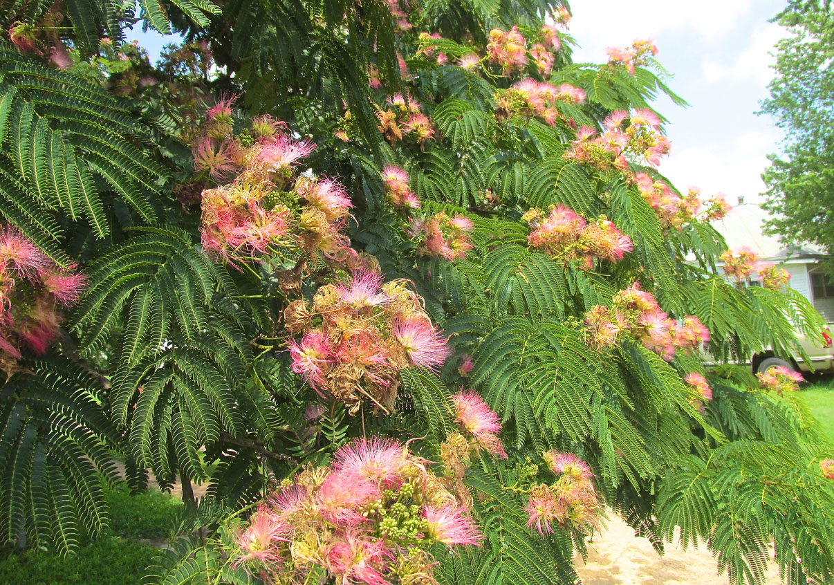
A closeup. I would appreciate knowing what type of tree this is if anyone would care to “hip me” to it…
(Editor's Note: True to form, moments after I released this story My Dear Wife Debra informed me this is a Mimosa Tree. See. I told you she would know what it was.)
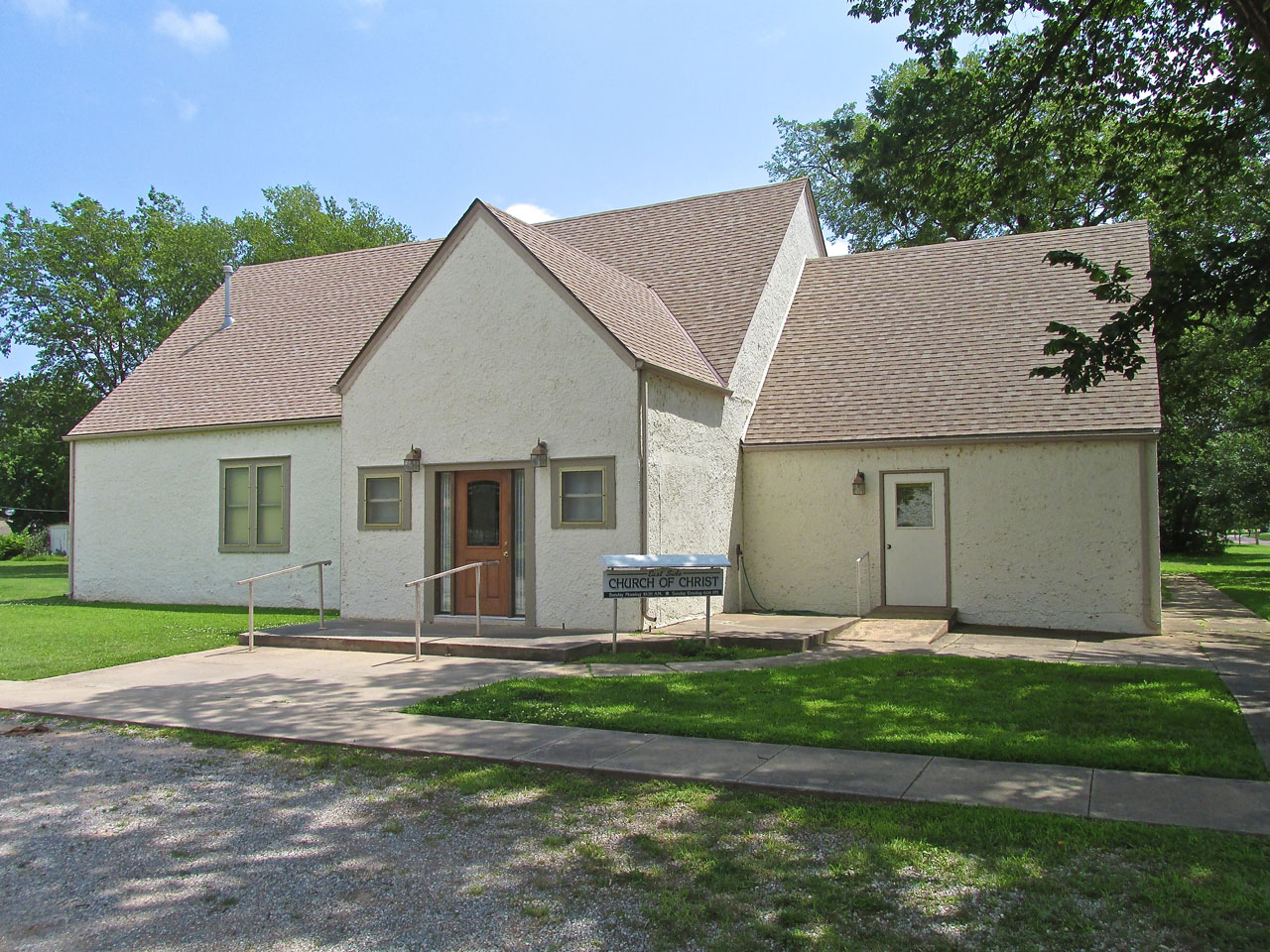
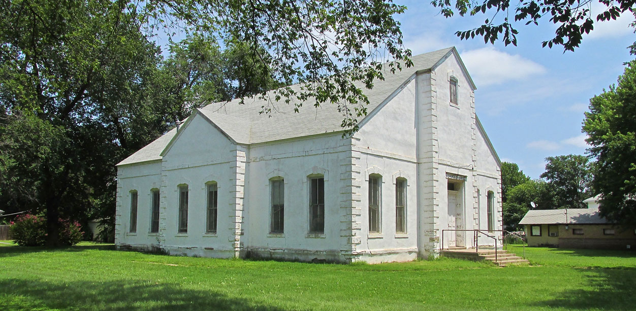
A well kept, Church of Christ building.
This Church of Christ building has a cornerstone that says it was built in 1883.
I was impressed with the brickwork and the stained glass windows.
Gardening
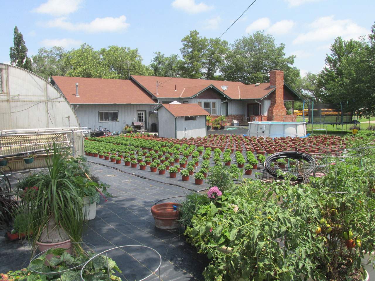
Last year I was seized with the idea of planting a garden. Over the years my Wife had planted a tomato plant from time to time, but I decided to “step it up” and plant tomatoes, peppers, melons, cucumbers, and potatoes. It worked out pretty good so I doubled it in size last winter. I brought in several tons of topsoil and 5 more railroad ties to edge it. Additionally I put a chicken wire fence around it to dissuade the numerous rabbits that populate our back yard. After all that I was thinking I had a pretty impressive garden. That was until I saw this one in Harper…
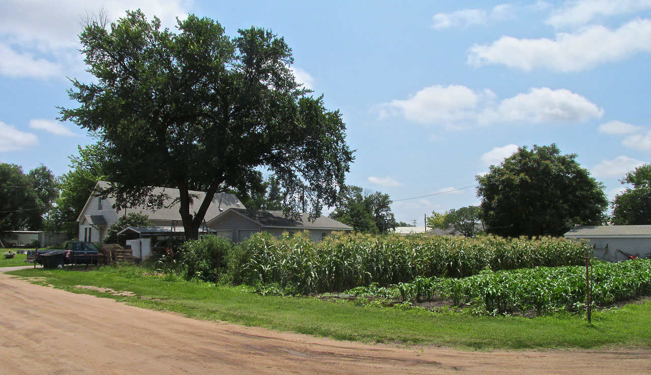
No. It’s not a farm. It’s a garden.
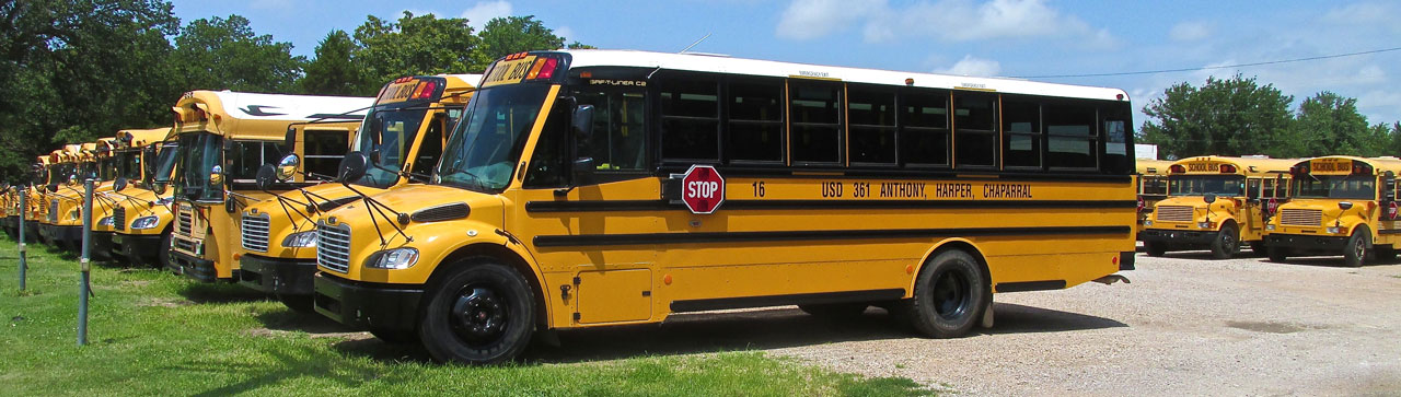
I found where they keep all the busses.
Two “Main” Streets
Even though the old Water Fountain at Main and Central is at the center of town and a focal point of the community, a lot of the business action for Harper is along Highway 160 where it cuts through the town from East and West. I was intrigued by this greenhouse and small plant business on 160. I checked on The Web and I think it is “Ron’s Garden Center”. There was no one around for me to ask questions of so I am limited to my personal observation.
It appears they have mastered the root feeding method as indicated the uniformly good look to all the plants. I’m not sure what the black ground covering is for. Maybe it is to keep the weeds down and eliminate mud. Two seasons into my new gardening hobby, I am very impressed when I see something like this.
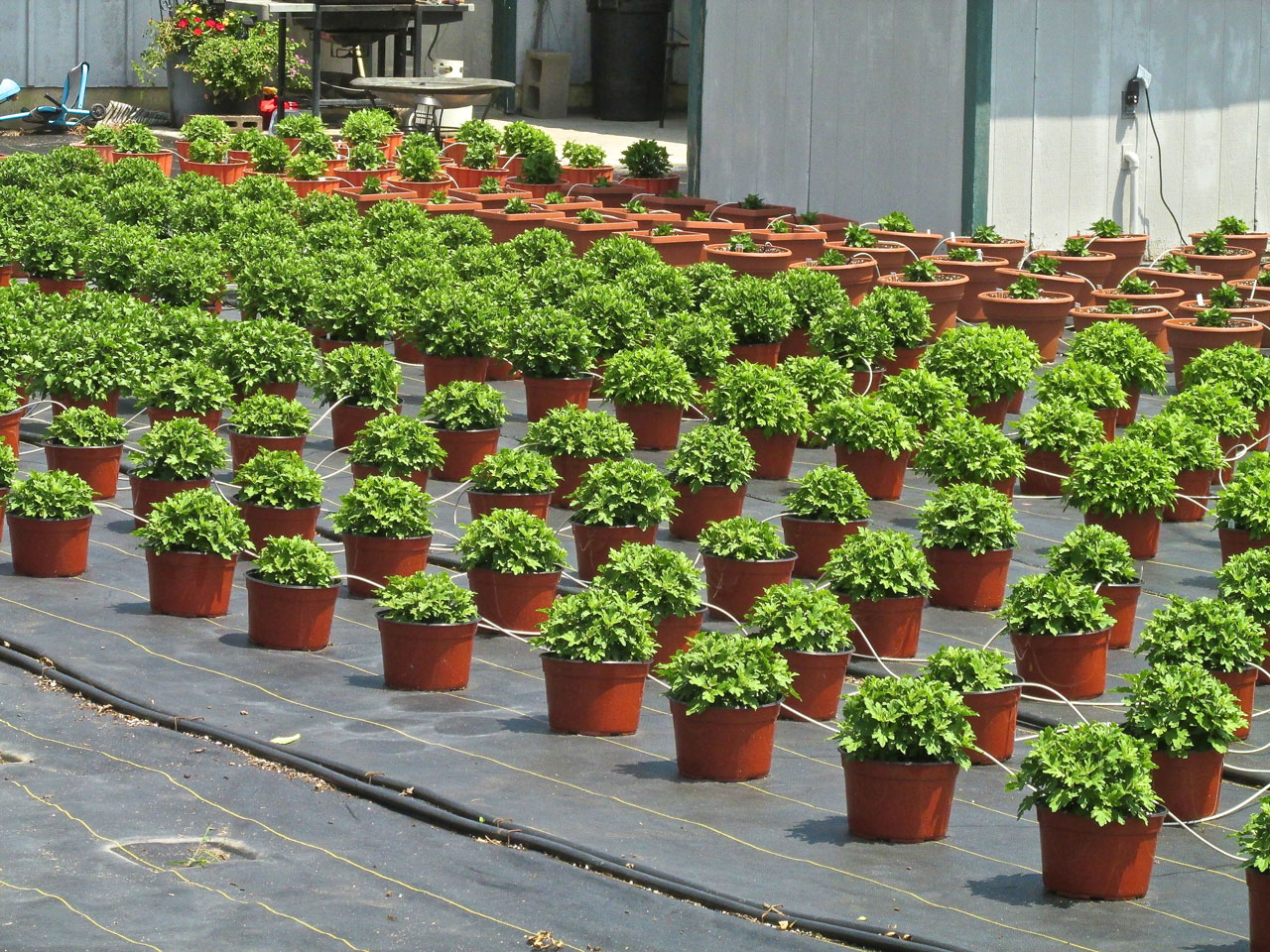
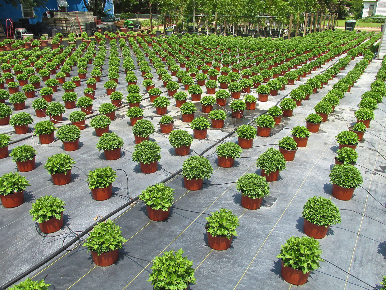

The sign said “Open” but no one was around so I moved on to the next big thing.
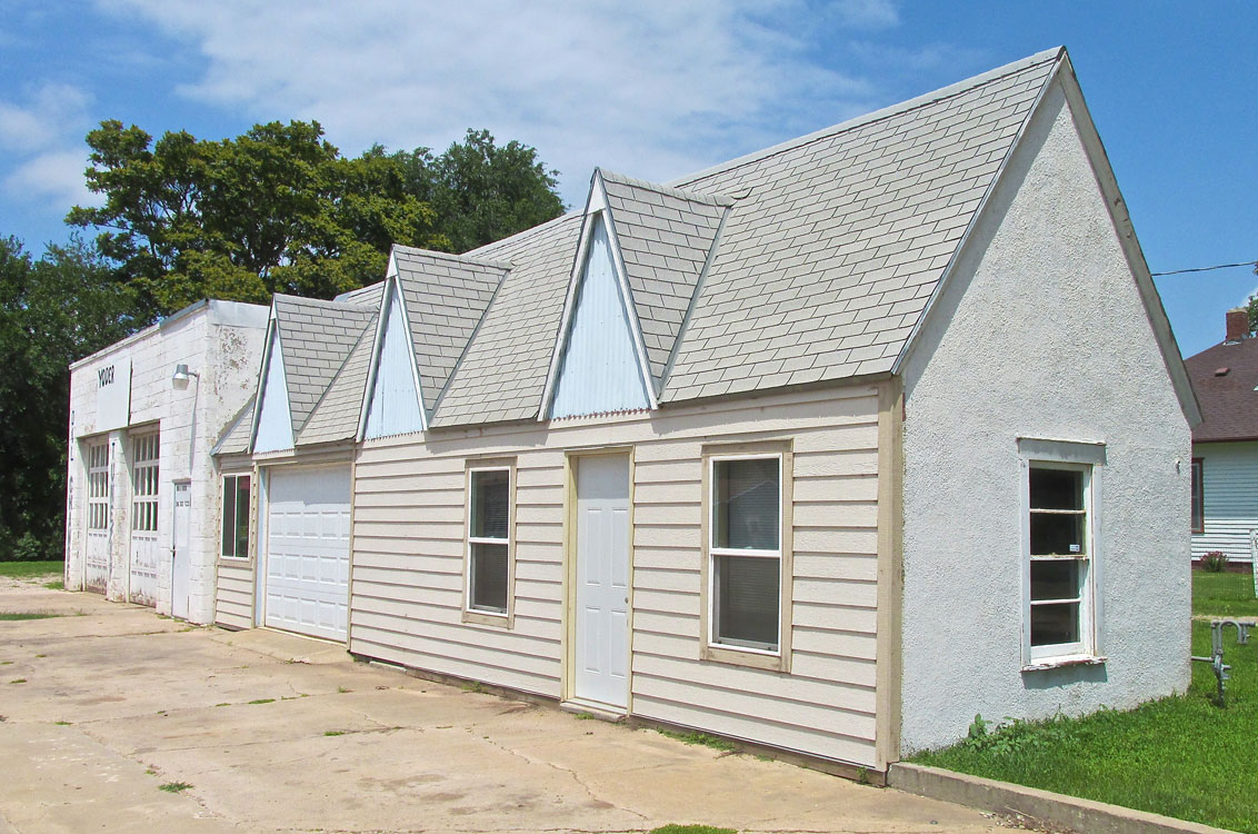
Next on Highway 160 I saw this interesting compound. I think Lynn told me this used to be an auto repair shop.
Character
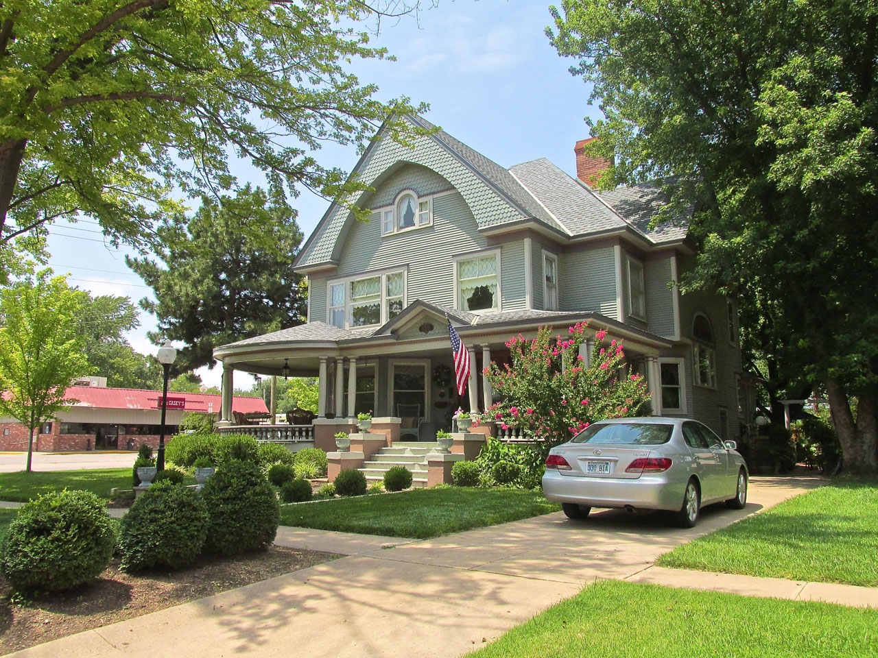
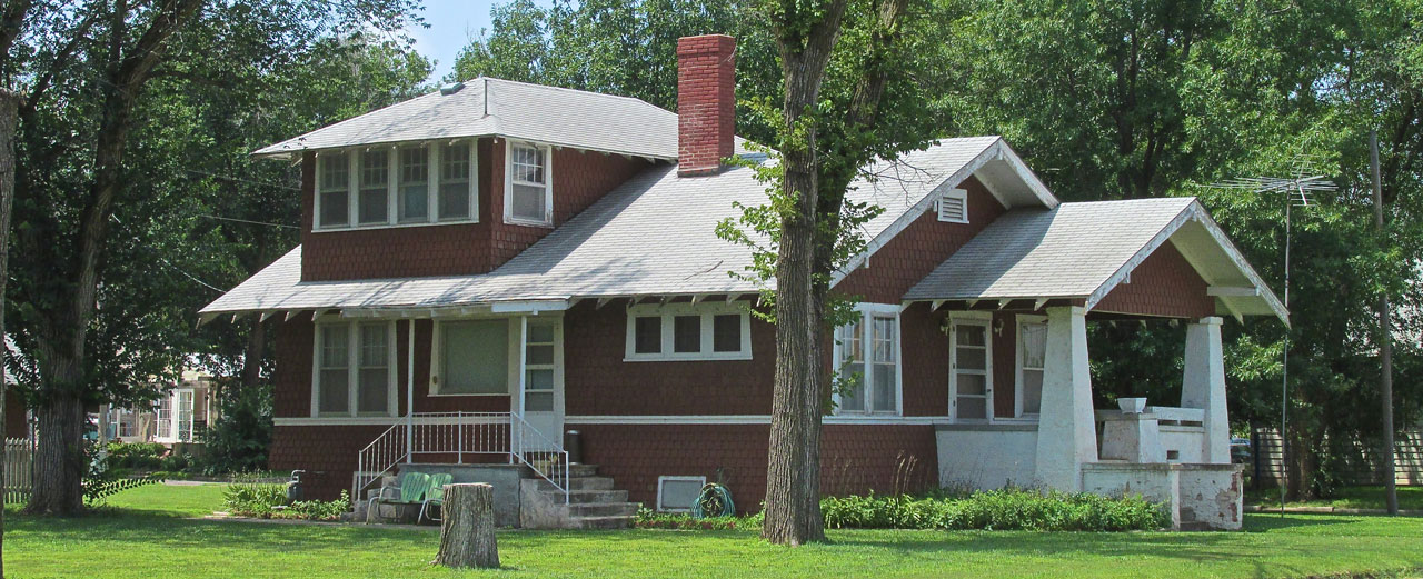
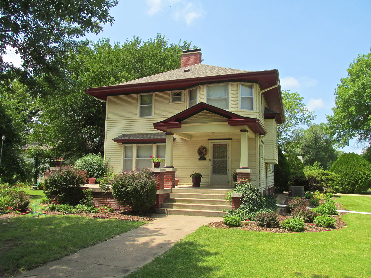
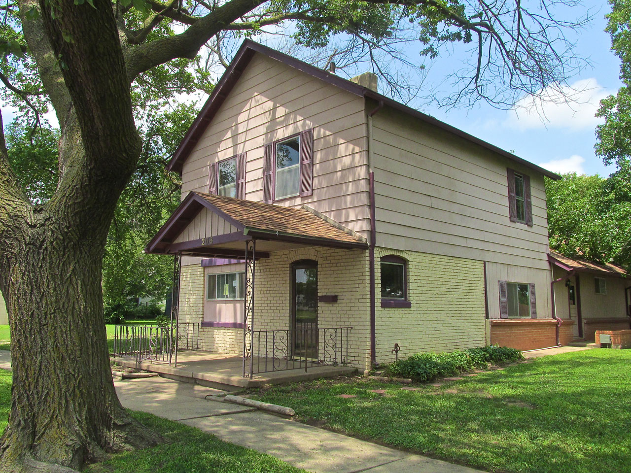
So many of the Homes of Harper display a Kansas Character that is very appealing. I didn’t see all of them but here is a good measure for you to see.
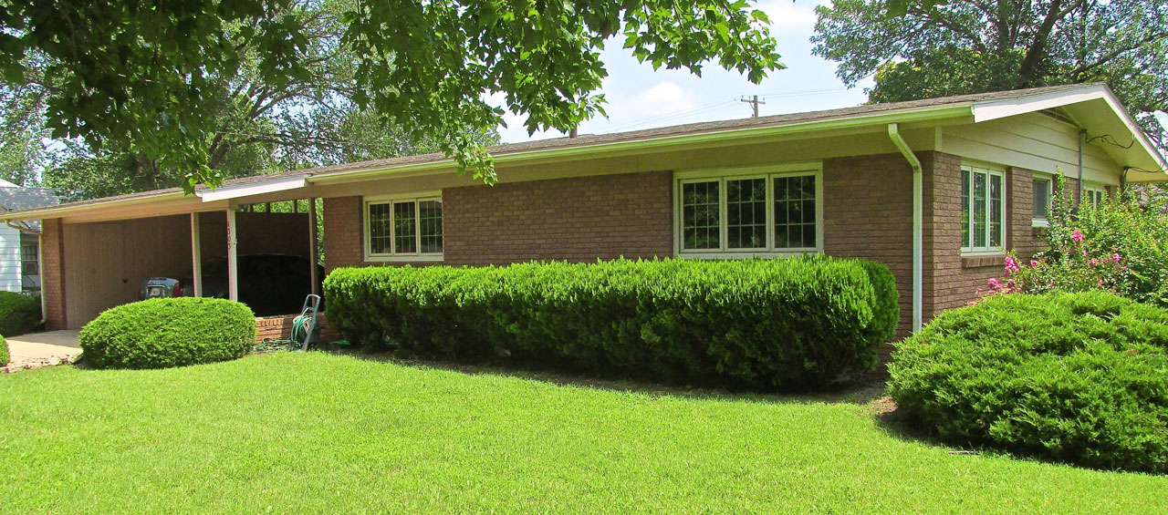
A nice, brick house.

I am partial to brick (and stone) houses. I particularly like the trim coloration of this one.
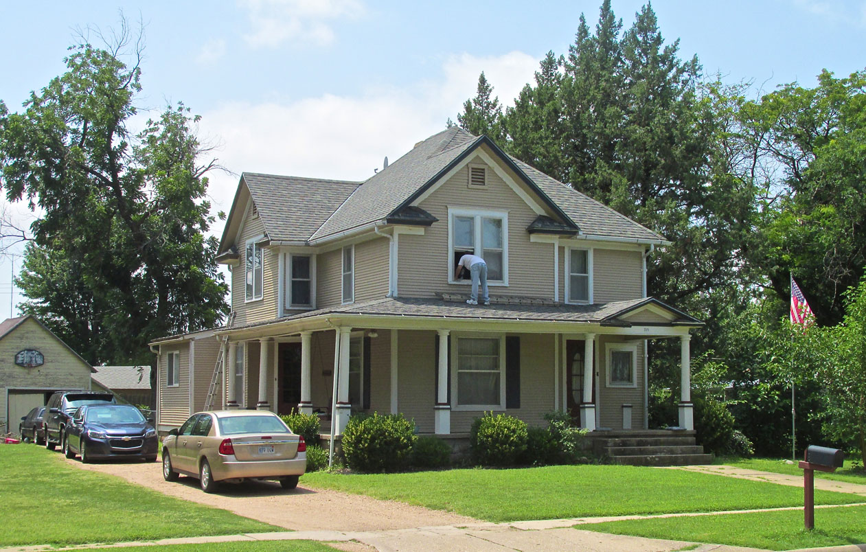
A Victorian on Highway 160

The Victorian House had this attractive arraignment on its “Highway Side”.
A work in progress.
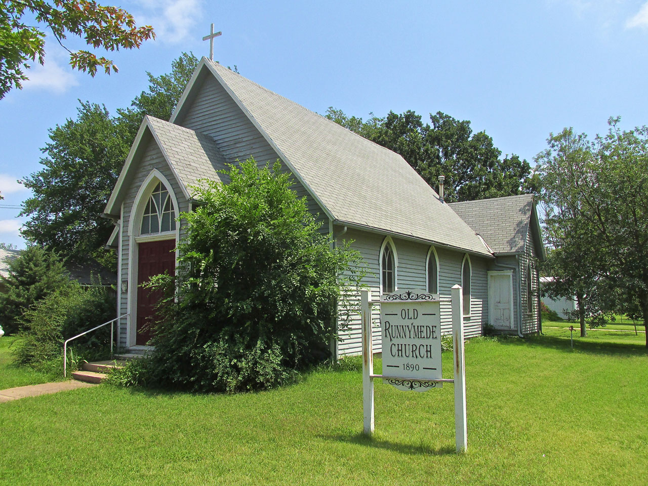
The Old Runnymede Church
A theme that keeps cropping up as I visit the towns of Kansas and Oklahoma was the importance of Railroads in the 19th Century. Highways such as US 160 that runs through Harper are important today, but in the time when this area was being settled, a railroad could mean life or death for a town. Runnymede, Kansas – once was between Harper and Norwich – was one such town that died. Established by wealthy Englishmen, Runnymede was doing well after its inception as long as the gentry had money. When railroads came into play, though, people flocked to towns that were on a track and left those that weren’t. Runnymede did not get a railroad and everyone pretty much pulled up stakes and left. They even took buildings to other towns. The Runnymede Church ended up in Harper. It is on the National Register.
Two Is Better Than One

Harper has a new water tower…
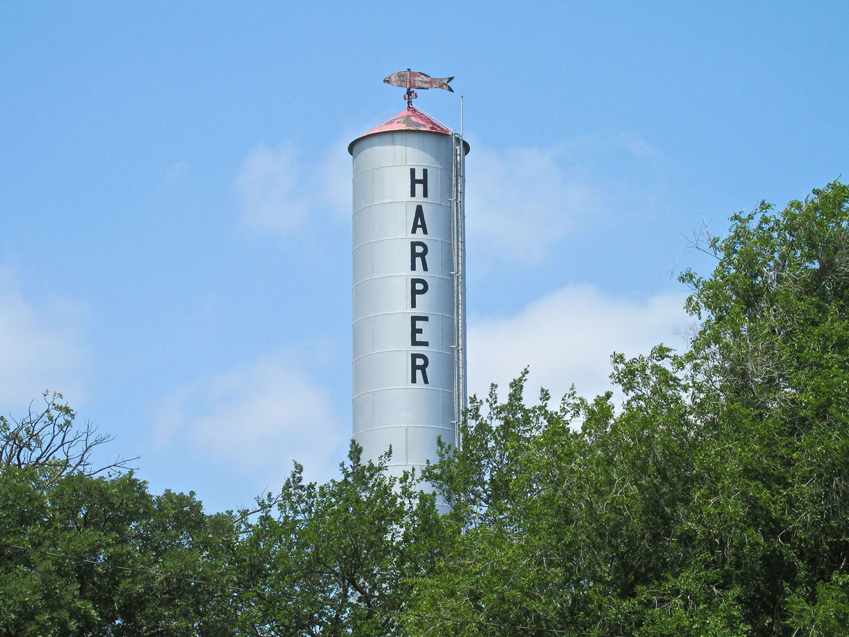
…and an older one with a fish on top. Why not keep it if it is still working, right?
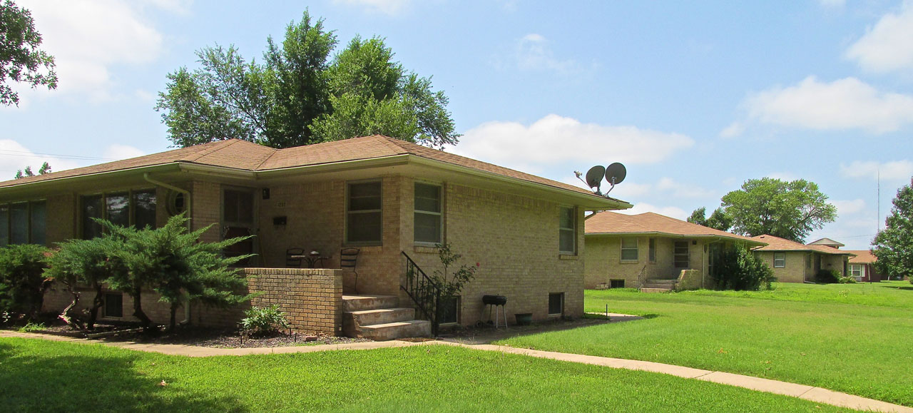
This development features a group of similar brick houses.
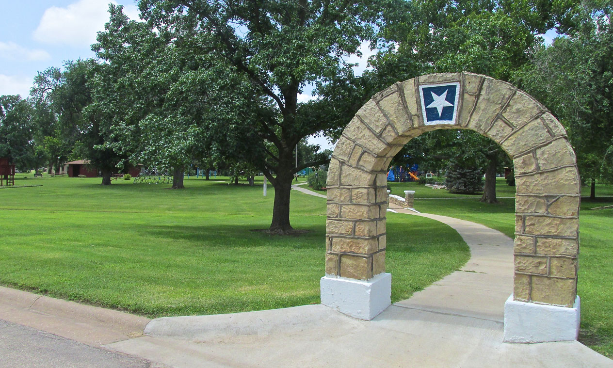
The City Park
The entry to the park features this stone arch. I have seen stars of the sort that decorates this arch around the area. Since this is not Texas, I wonder what they signify. If anyone can illuminate me about them I would appreciate it.
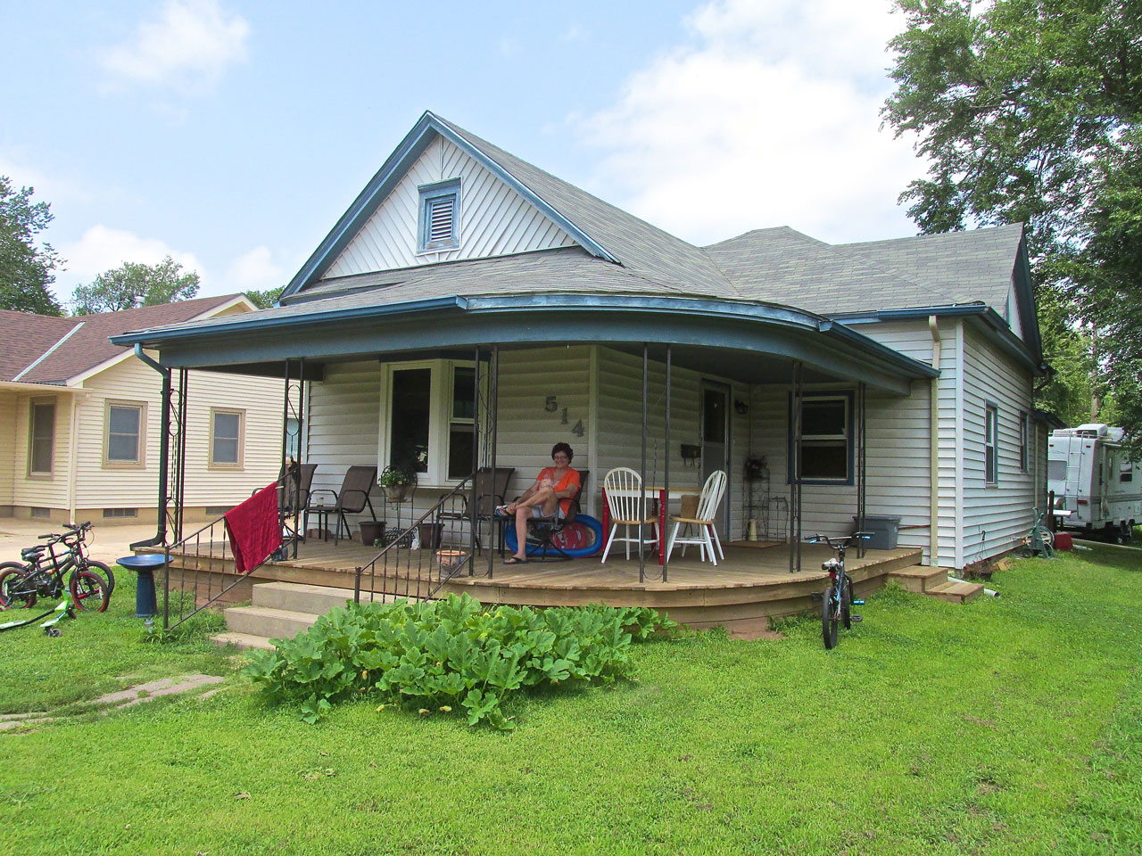
Taking It All In
I saw this lady sitting on the porch watching the late morning activity on Main Street. After introducing myself, we discussed living in a small town. She said she loved it. As you already know, I lost her name. If someone would provide it I would appreciate it.
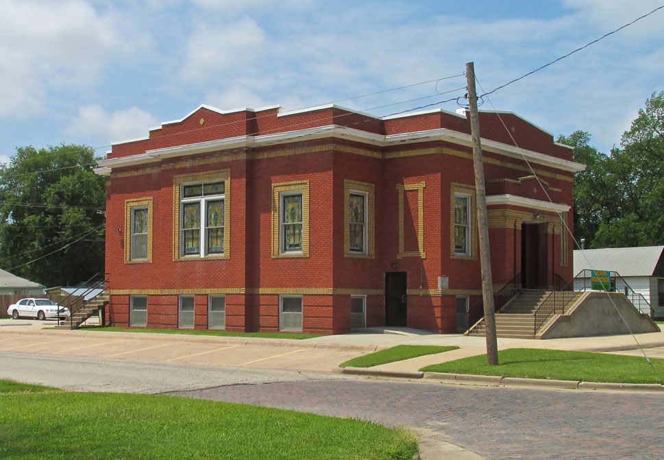
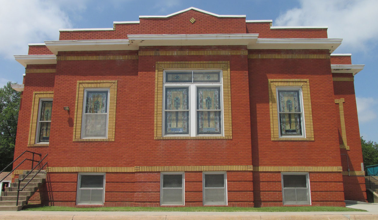
Three?
By my count there are (at least) three Church of Christ buildings in Harper.
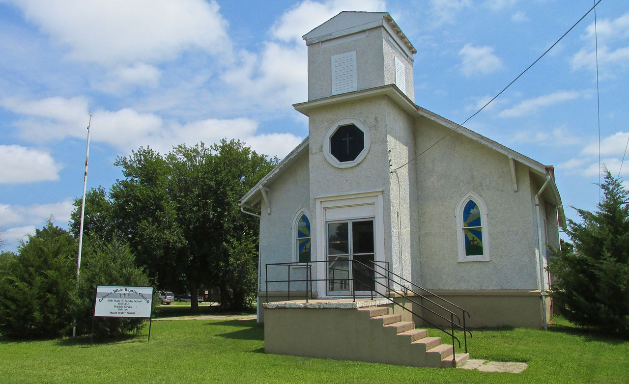
Ahh. Apparently Baptists live in Harper, too.
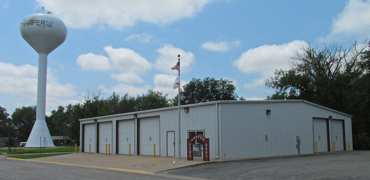
They put the fire department next to the water tower so it wouldn’t run out of water…
Time For Lunch
When Lynn dropped me off he said if I wanted to “grab a bite” later to give him a ring and he would pick me up. I rarely eat breakfast and after walking about town for a few hours I figured his idea was good. I gave him a call and a rudimentary position something like, “I’m walking on the street next to the fire department and I think I’m headed South”. Within moments he appeared out of nowhere…
Rule For Photography
My Dad had a dictum for the taking of all photos. It was simple. All must have a person in them. This has stuck with me to some degree. Again I called upon Lynn to join the shot. A truck and a restaurant without a guy going in to eat would not be right. Right?
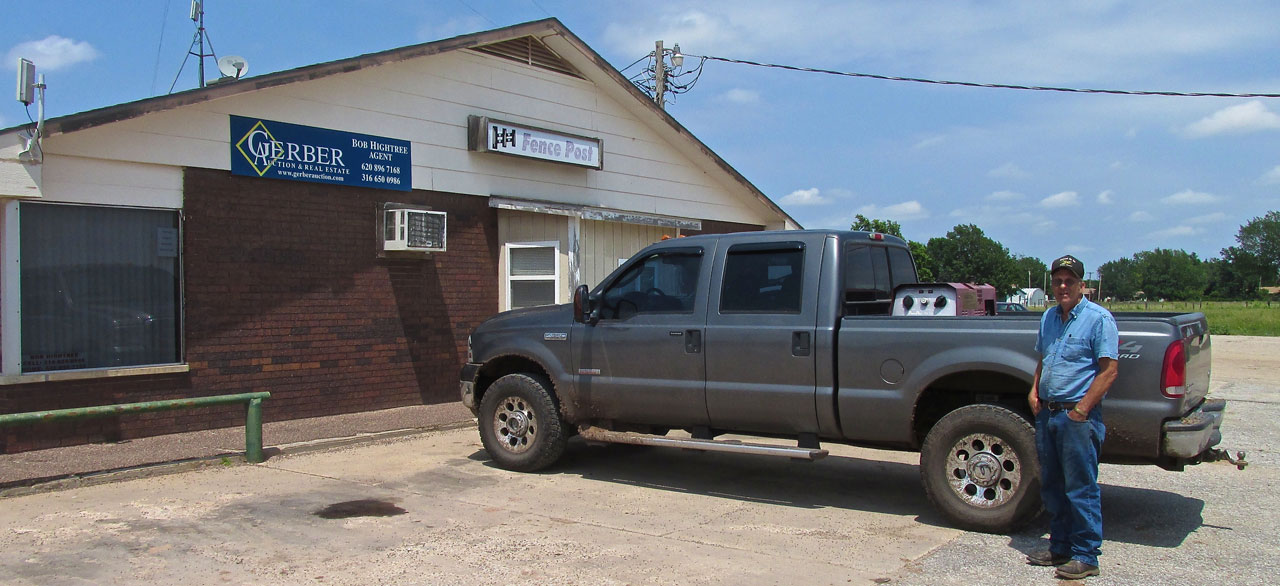
Lynn at The Fence Post
Geography As A Choice Of Cuisine
Since I’m on The Teachings Of Dad, here’s another gem of his I have found to be useful. It is: Consider where you are when you decide what to order. To whit, don’t order steak in a Chinese Restaurant and don’t order shrimp out on The Great Plains. DO choose what is prevalent regarding the style of the restaurant AND ADDITIONALLY the type of food that is indigenous and therefore be expected to be of highest quality for that part of the world. (NOTE: In the 50 years that have passed since he bequeathed this Wisdom to me, Air Freight Of Food has changed the dynamic in some cases and locales, BUT for the most part, the dictate still holds)
Anyway, with Geography in mind and looking around the digs, I chose BEEF and had the best hamburger in memory. It came with REAL potato fries (not extruded mash) and was just what I needed to power up for the flight home.

The Sky Surfer, Hobie Smith, David High and Lynn Bebermeyer chowing down at The Fence Post. Hobie and David raise GSP’s – AKC German Shorthair Pointers. Yeah, I lost their card, too, but if you are looking for an excellent Gun Dog, I found a link to one of the guys HERE.
Time To Hit The Surf Again
We finished lunch and Lynn had to get back to work. I needed to hit the waves again.
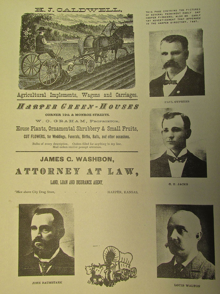
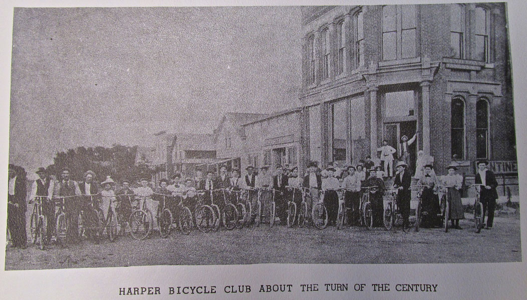
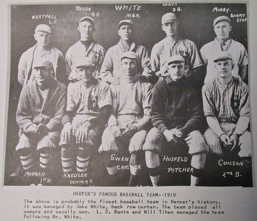
We returned to the field but before I set to re-fueling the Ultralight and removing the tie downs, Lynn wanted me to see one of his treasures. Like me, he has an interest in the early days of Kansas. As a life-long resident of Harper, though, he has an even deeper affinity for this delightful town. Out of a drawer he pulled a slightly worn (but still in fine shape) History of Harper that was printed for the Harper Centennial Celebration of 1977. In it is a wealth of information and photos. Although it is not the optimal way to copy photos, I did my best to position my camera over the book and snap some shots of the contents so you could see scenes from Harper over a hundred years ago.

Since I was on the subject of restaurants, here is an interesting shot with attached menu. My lunch at The Fence Post cost a little more…
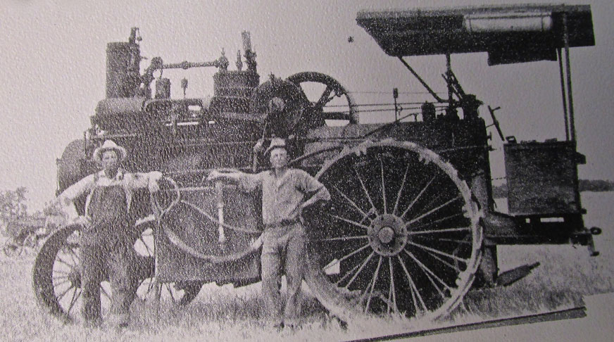
You had to be on top of your game to run a steam tractor. There’s no power steering on this model.
A Fine Addition
Even though he had already been a superb host and helped me a lot on this trip, Lynn insisted I take one of his hats. Below you see me sporting the latest addition to my Ball Cap Collection. I chose black rather than camouflage because I want to be as visible as possible when I fly. A mid-air can ruin your day…
Quartering Tailwind
After bidding Lynn adieu, I took to the sky. You already know what happened right after takeoff so I don’t have to re-live that debacle again. The wind was out of the South so I had the benefit of a quartering tailwind home. It added 10 mph to my ground speed.
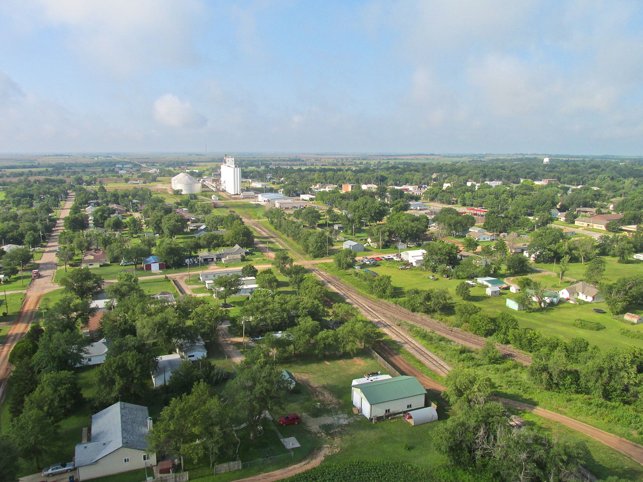
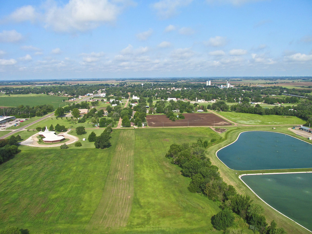
Looking due North at Harper, Kansas from 400′ AGL right after takeoff from the Municipal Airport.
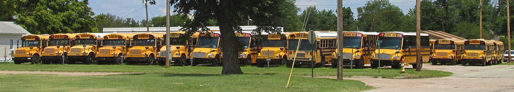
Now we REALLY know where they keep the buses.
Scenery Grand
The sky had the perfect amount of cumulus clouds and everything looked great. I thought you would like to see The Great Wide Open of Kansas from this vantage point and took some pictures on the way back to Wichita Metro.
I had not seen such an interesting reflection on the nose pod of my MXL before.
Looking Northeast from 75′ AGL.
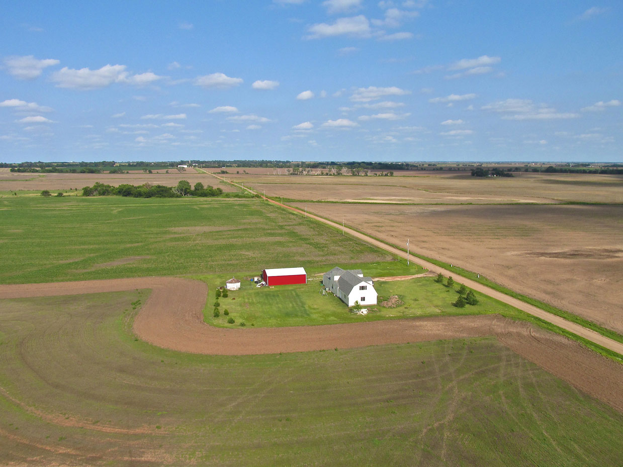
An isolated ranch/farm as seen from 200′ AGL looking Northeast.
This has me stumped. I don’t know what they are digging for here.

This reminds me of the rock gardens in Japan. Those gardens generally feature rock “islands” set in a perfectly raked “ocean” of pebbles.
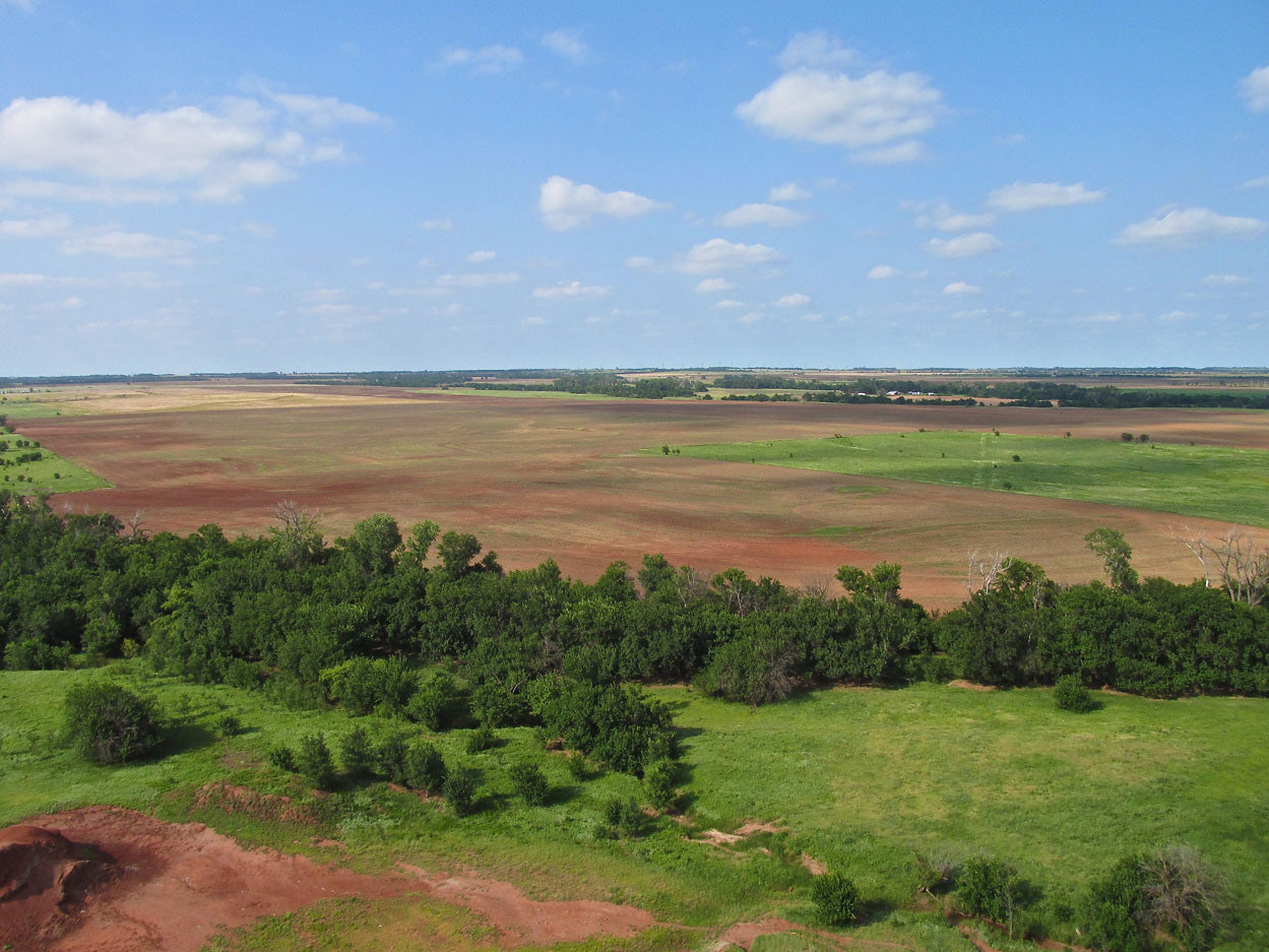
Looking East from 300′, I was drawn to the bright red out building.
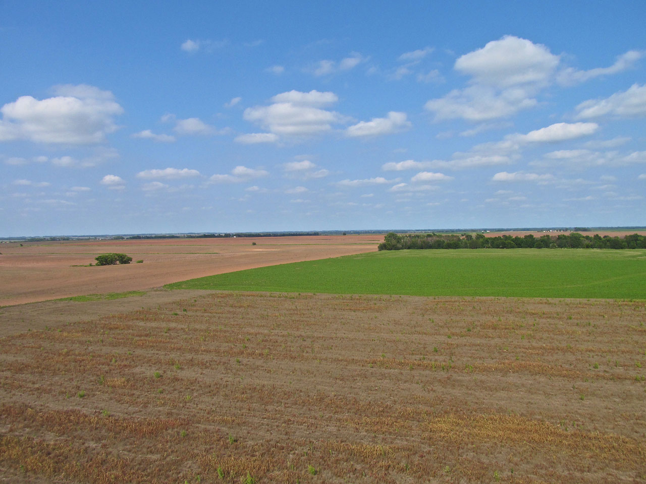
No Till Farming
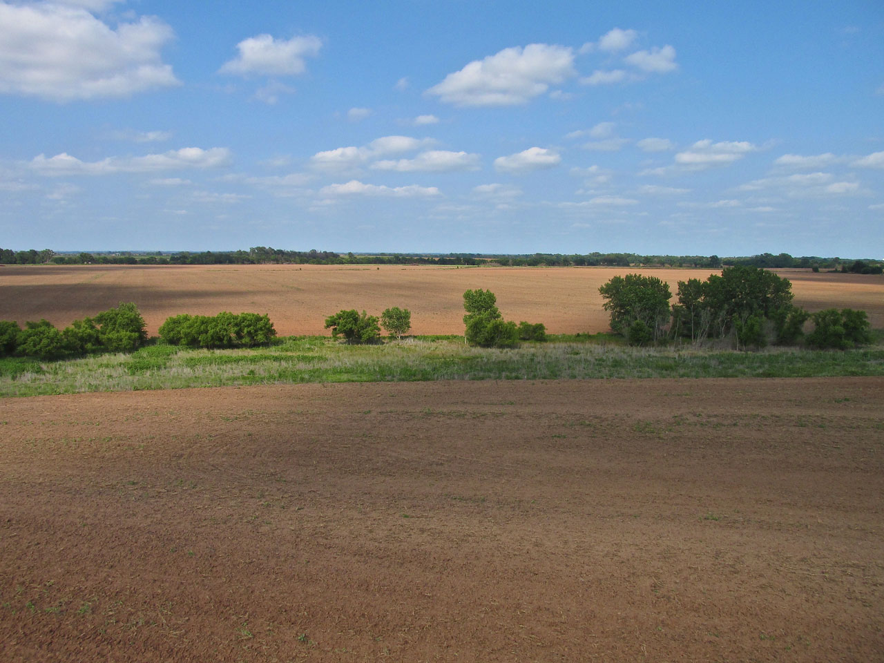
“No Till” is a farming method that uses “seed drills” to plant seeds rather than breaking open the surface of the land with plow discs. It is done with the intention of retaining the topsoil and saving the energy required to plow large expanses of earth. It is also supposed to retain moisture in the soil better. I was moving pretty fast when I shot this and about to-over run the field, so it is not my best shot. Hay had been recently harvested. The newly “drilled” crop is already sprouting. I can’t say for sure what it is. It looks like beans or alfalfa.
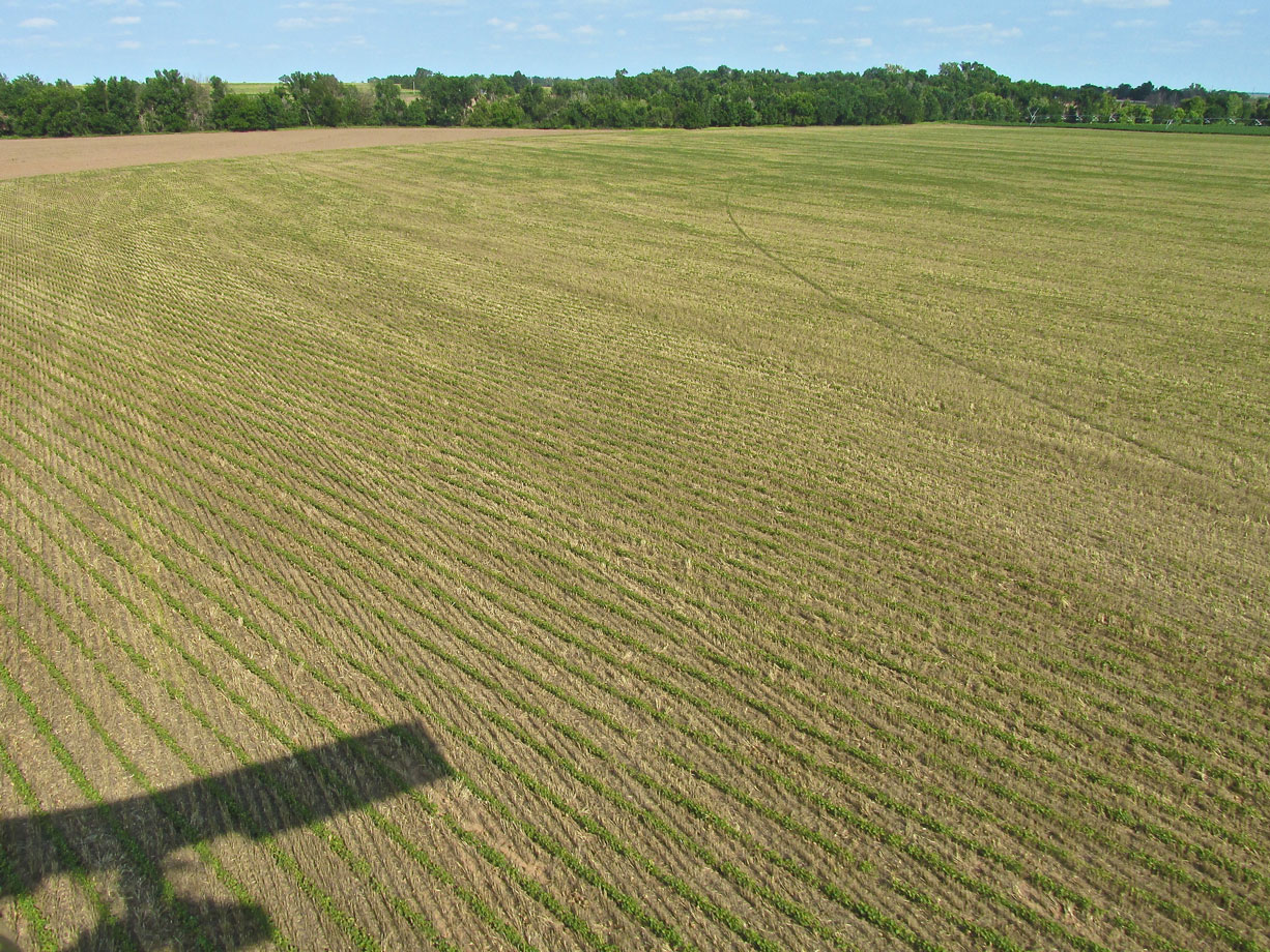
A budding “no till” crop seen from 20′ AGL looking East Southeast.
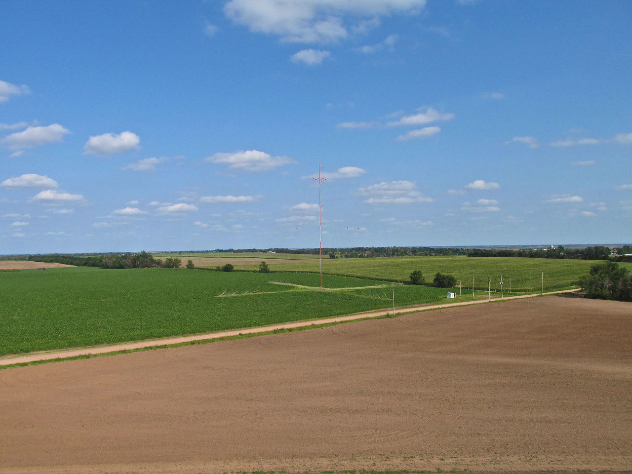
This antenna is off by itself away from everything. I have seen one like it a year or so ago. I cannot figure what type antenna it is. If anyone knows, please let me know.
Another farm with my favorite “round top” silos. This is from 20′ AGL looking Southeast.
Something To Talk About At Dinner
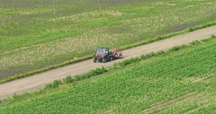
I was about 30 minutes into the flight when I shot the picture below. The conditions had been fairly turbulent all along but at this point I was getting kicked around the sky pretty good. it was hard to take pictures because I like to have both hands on the camera. Generally speaking, a properly trimmed aircraft will fly itself “straight and level” without stick input. In turbulence, a plane’s natural dynamic stability is continually disrupted causing it to depart from “straight and level”. So I had to quickly line up the shot below. Even then my “camera platform” was pitching and rolling erratically. The guy in the four-wheeler was waving excitedly at me. So, after taking the picture I put on a short impromptu flight demonstration before heading on my way. Flight demos of this sort feature some high angle turns capped with a vertical pull up and stall – a little something for him to talk about with his wife during dinner.

An old railroad building grain elevator along a still-active track.
Eagle Eye Award! My Good Buddy Matt Balocca was reading this story and spied a Sky Surfer Error in the photo above. Here is what he wrote:
In the Harper Run blog, there is a photo you have captioned "An old railroad building along a still-active track."
That is actually an old wooden grain elevator (quite rare now), and yes, it was likely a railroad owned building. You can see "up-close and personal" that style of elevator at Old Cowtown in Wichita:
http://www.oldcowtown.org/Experience/Pages/Arkansas-Valley-Grain-Elevator-and-Scale-House.aspx
I also know of one that is near Yoder, KS  97°55'49.69"W  37°58'13.11"N
Google Maps Streetview:
https://www.google.com/maps/@37.9700403,-97.9299529,3a,75y,305.69h,80.54t/data=!3m6!1e1!3m4!1sXVW0ecOFNSCwPiLB7_qFcQ!2e0!7i3328!8i1664
Good Job, Matt!
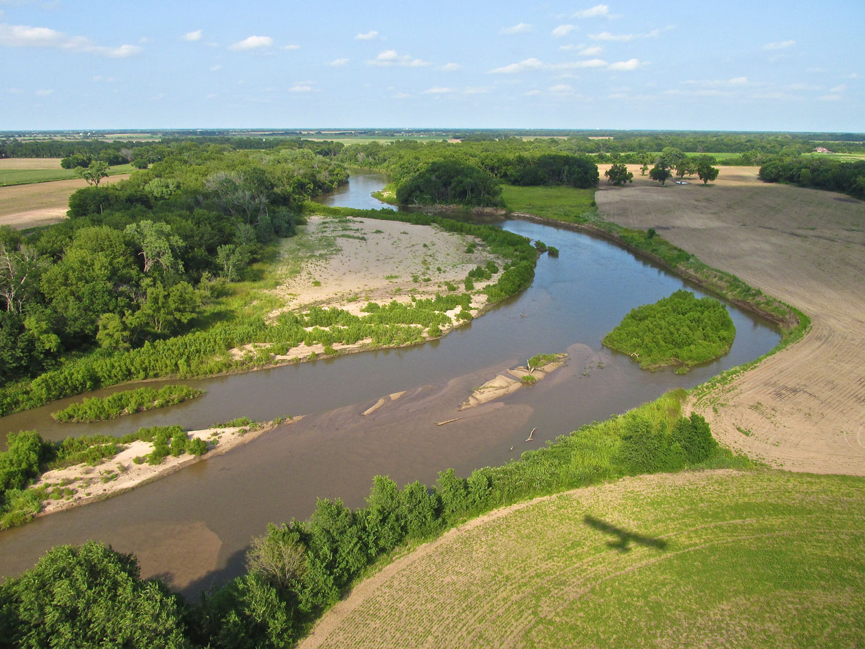
The Ninnescah River Southwest of Peck, Kansas from 100′ AGL looking Northeast.
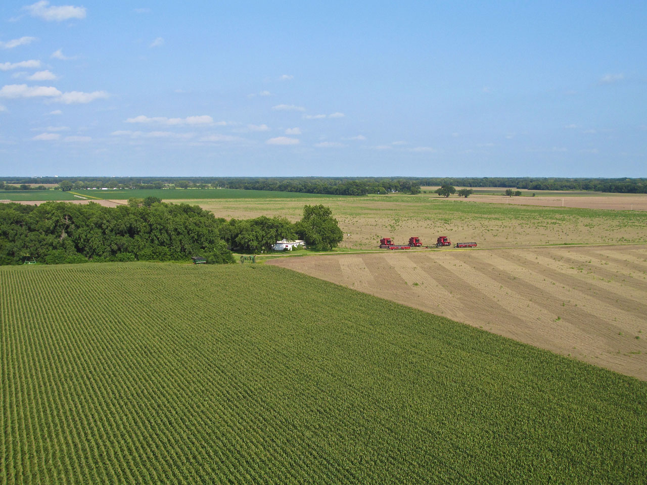
I doubt one farm owns 3 combines. Maybe they are owned by a custom cutting operation passing through.
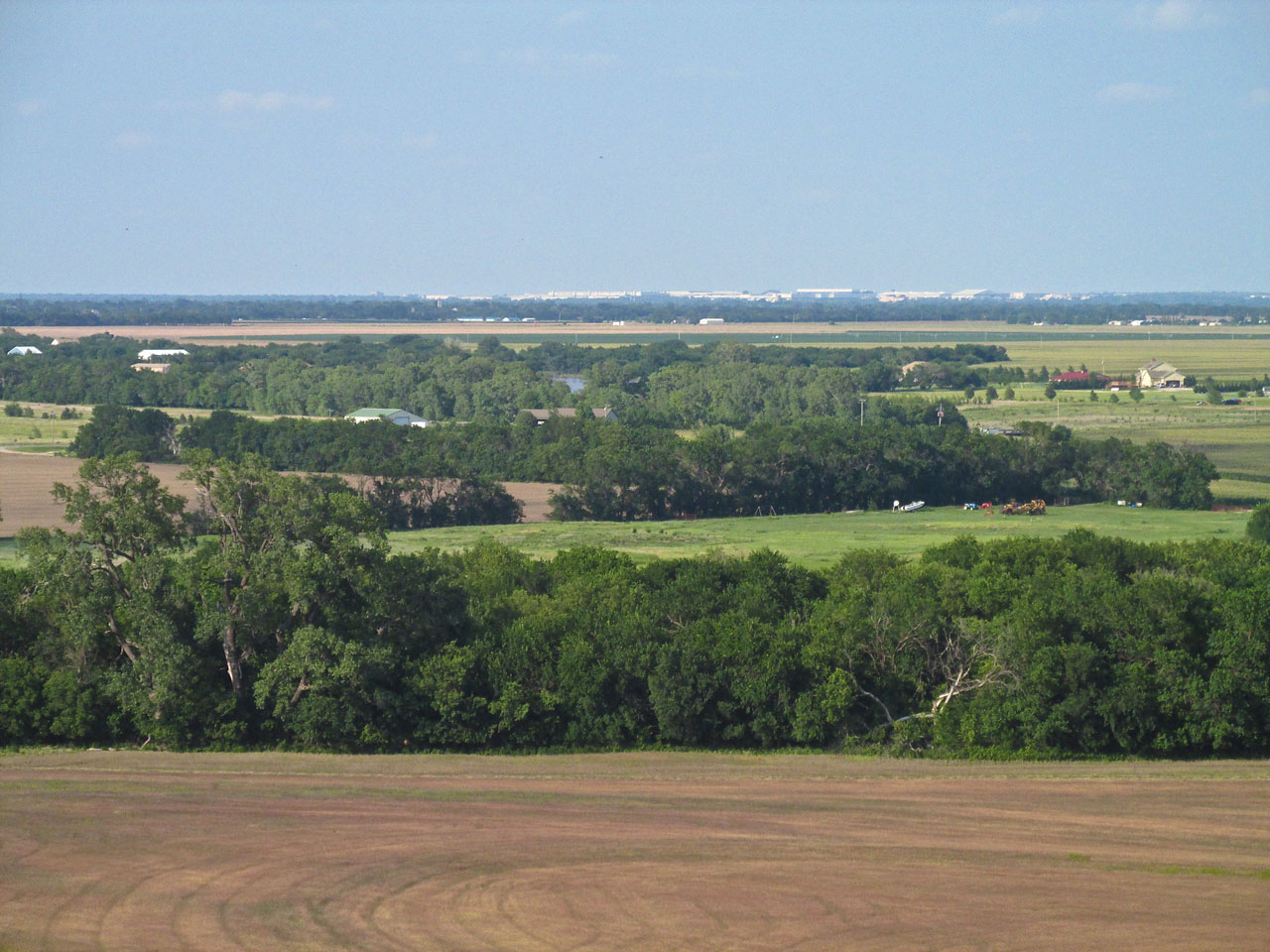
This telephoto shot from Southwest at about 400′ AGL shows the buildings of McConnell Air Force Base and Spirit Aero.
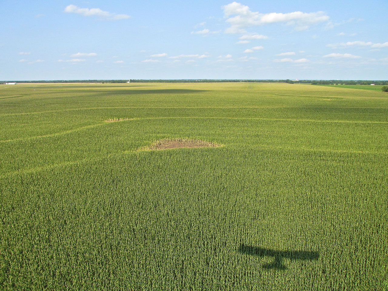
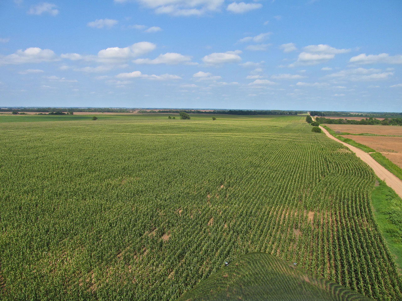
“Quicksilver Shadow on Corn”
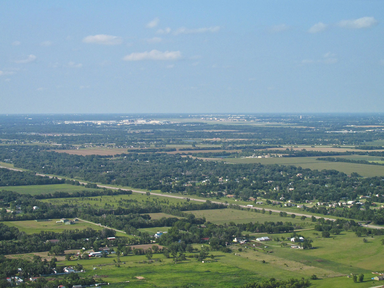
Now at 1,000′ AGL and still looking Northeast, we see McConnell and Spirit from a different angle. From here you can see the runway.
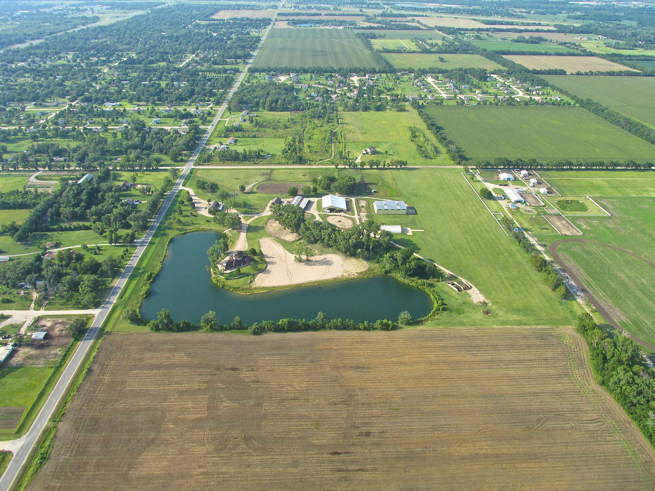
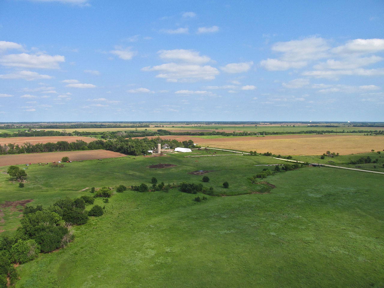
Looking North at Selby Aerodrome and Horse Stables from 800′.
Different Every Time
As Lynn Bebermeyer told me, “Every flight is different”. The Harper Run proved that for sure: Fog, Freight Trains, Beautiful Scenery, A Unique Airplane, Interesting Company and a Delightful Town to visit with a Charming Character all its own. That’s The Harper Run.
Blue Skies & Tailwinds!™
Brian FitzGerald – The Sky Surfer
Good tour of Harper. You’re lucky to get a chauffeur like Lynn.
Floyd, Kaw City.
Good to hear from you, Floyd. Lynn and I had a good time. He has quite an operation there. He is quite the aviator!