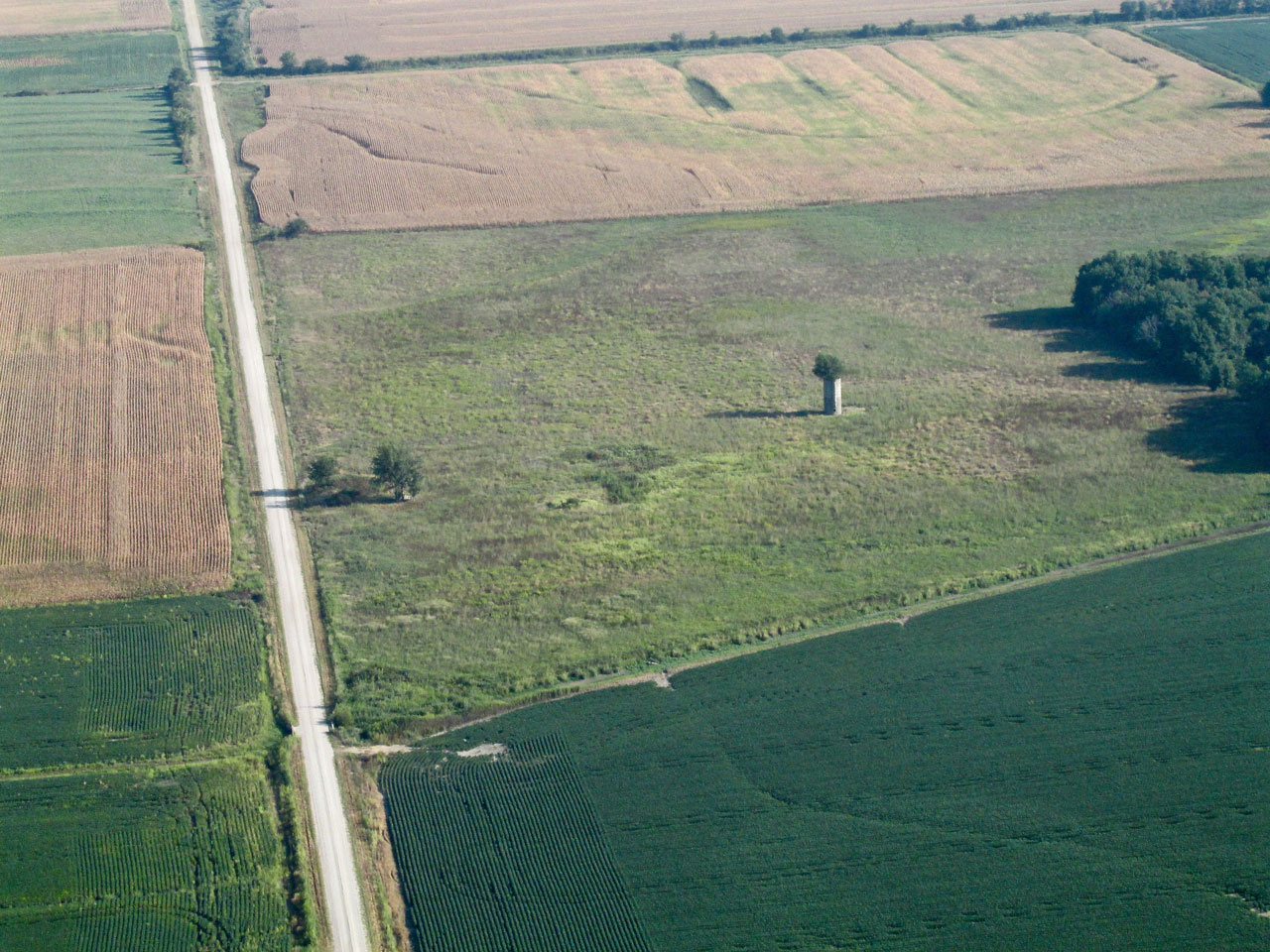
Most all of The Sky Surfer’s stories develop after reviewing the pictures and notes taken during a Safari. One might say the theme for the journey to Iola was environmentally driven. Once airborne, you’ll see.
Kansas Meteorology
While people tend to think of Kansas as dry and dusty, its climate is actually classified as Humid Subtropical. This translates to humid summers with mild to cold winters. For The Sky Surfer, the Safari to Iola accentuated the “humid” description of the clime to a degree not seen since The Harper Run…
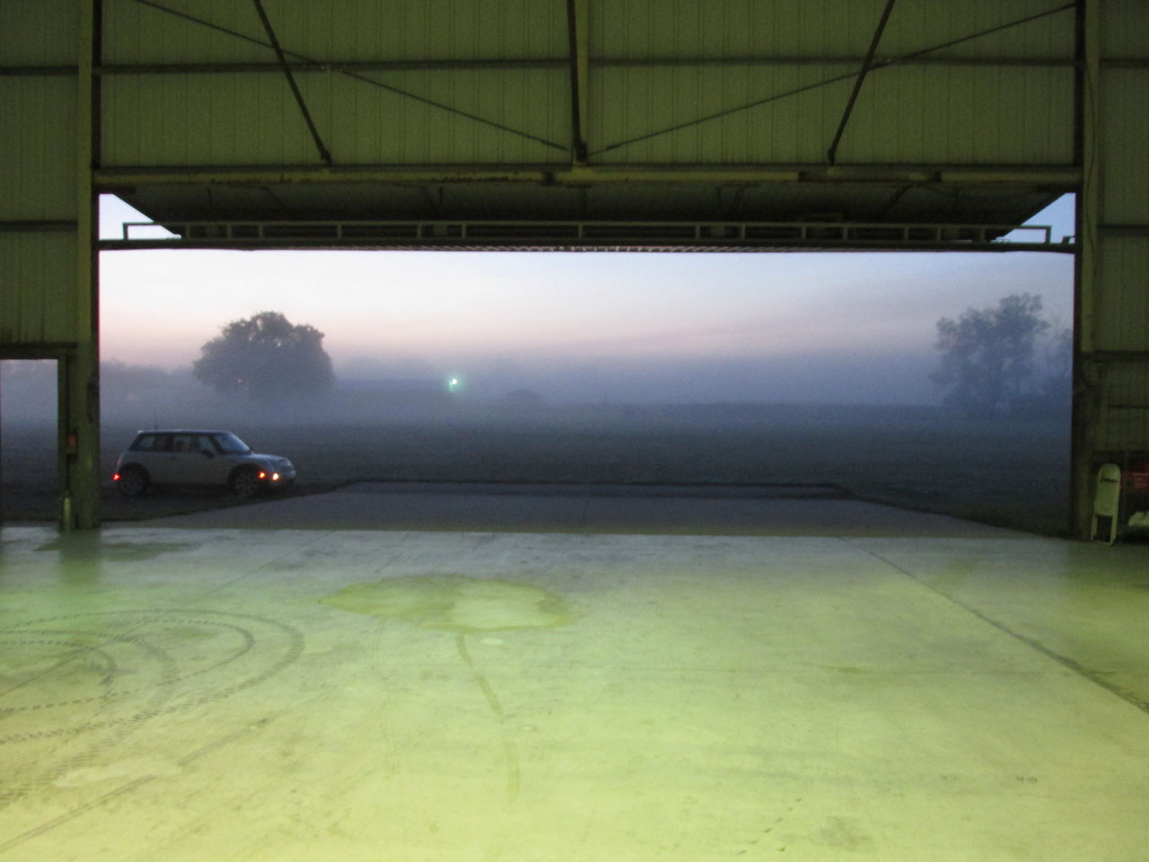
A half hour before sunrise. The view east out the hangar door
Lots O Pix
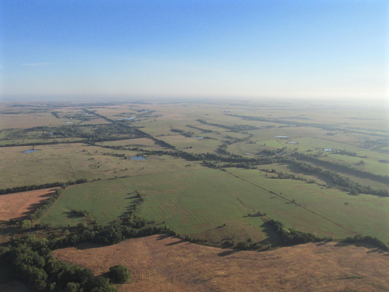
Iola is over 100 miles Northeast of The Sky Surfer’s home base – Blue Sky Aerodrome. That’s near his Sky Safari maximum range. So let this serve as an announcement (warning?) that because the fog-shrouded plains seen below him that morning presented such marvelous scenes, he included lots of the photos taken during the opening phase of the journey. We think you will like them but if they are not your cup of tea – just “fast forward” to the arrival at Iola. The town has plenty of interest.
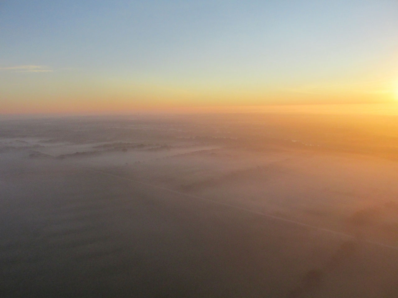
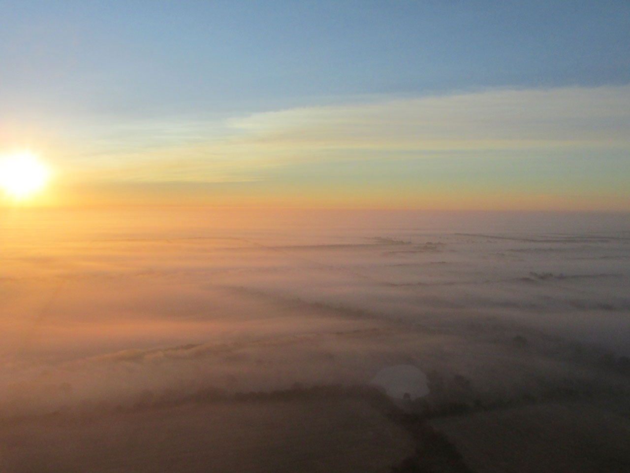
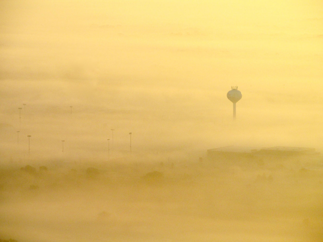
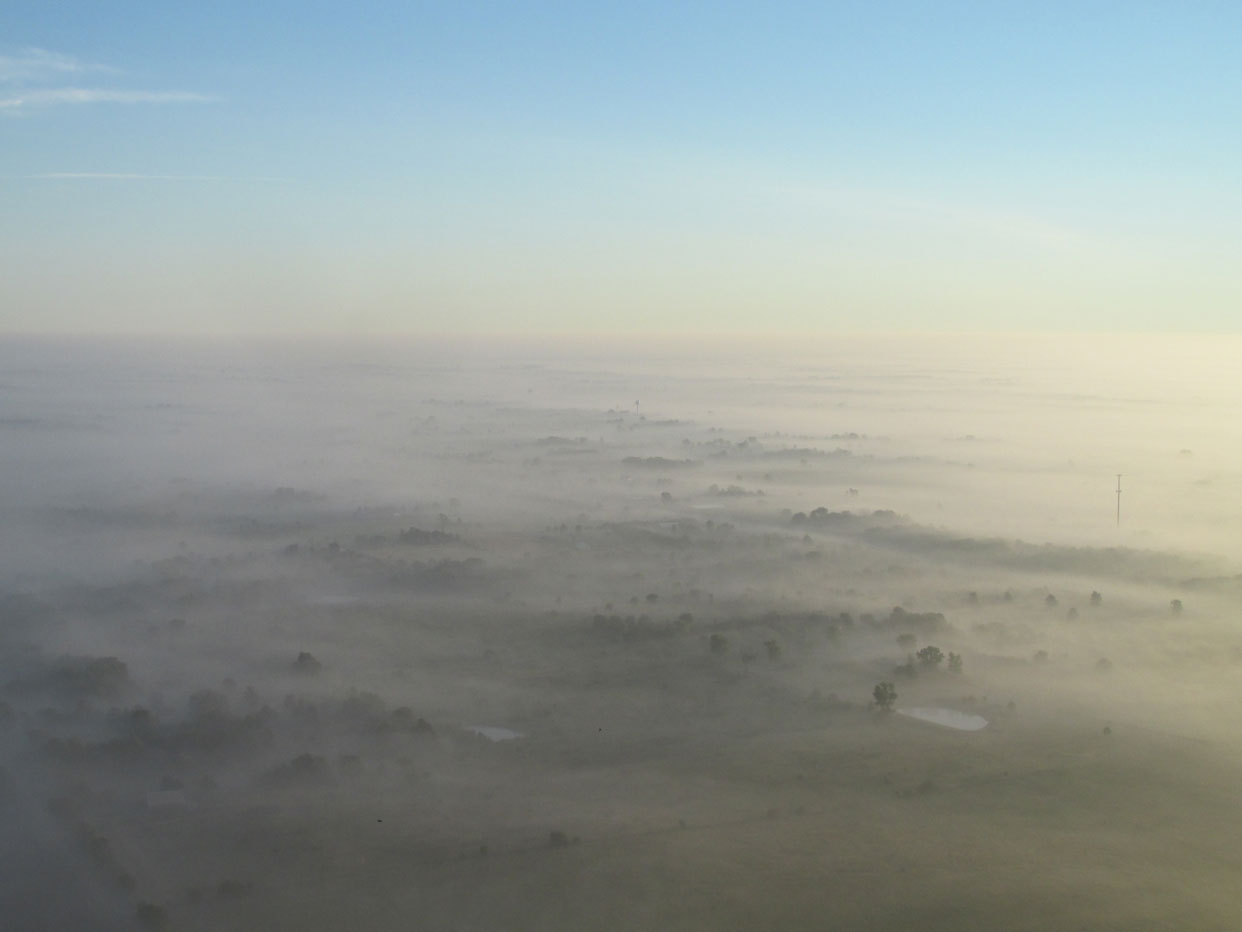
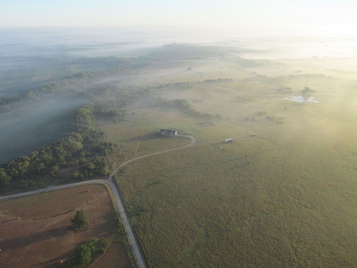
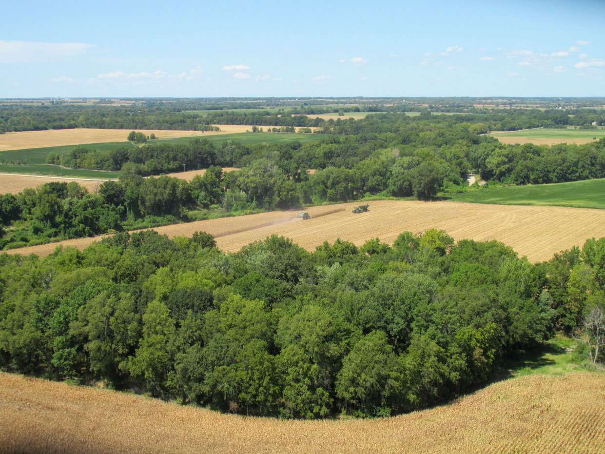
This was taken right after takeoff looking Northeast. I was at 600′ AGL. Derby, Kansas can be seen past the dense ground fog. Among the interesting features of this scene are the “waves” in the ground fog at the lower left.
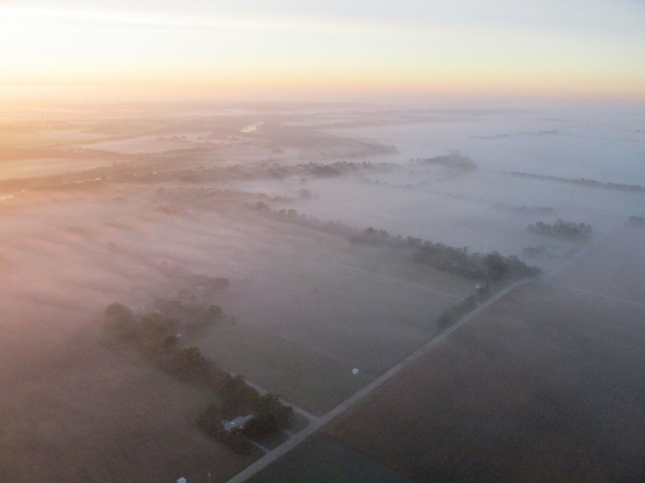
This was taken right after the previous shot. We are looking Southeast now. Mulvane, Kansas is just below the horizon near the sun. If you look closely you can see The Arkansas River making an “S” to the right of Mulvane. The waves in the fog seen in the previous shot are more pronounced at this angle because of the way the sun is playing on them.
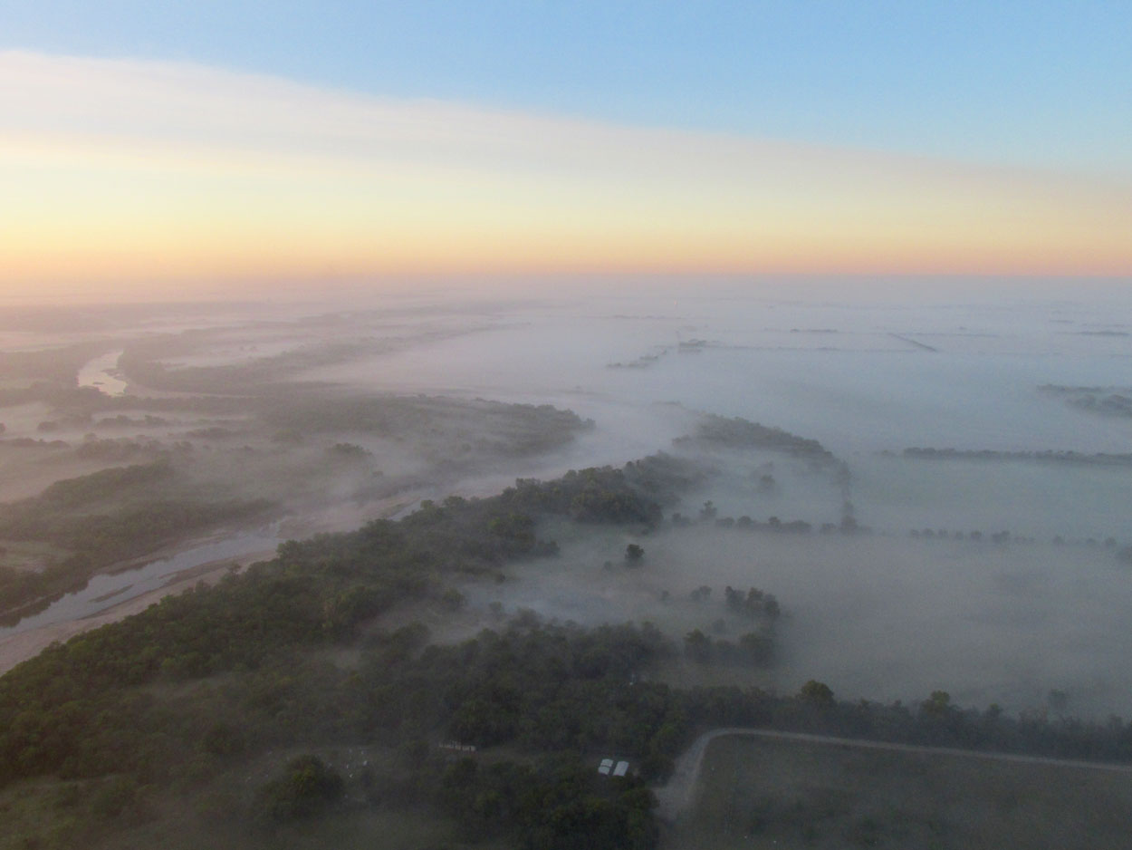
We are only a mile farther East and now you can better see the Arkansas River making its way down to Oklahoma.
Off my starboard wing I noticed this geodesic structure.
Concern
During this leg of the trip I monitored the “thickness” of the ground fog very carefully. As long as I could see the ground beneath it I continued. If it became deep enough to obscure the terrain I was prepared to turn back, turn to an alternate airport or land in a hay field until it burned off (Check out “Brian in the Fog”). With airplanes, one always needs to be ready for the possibility of an engine failure. The defense for an engine failure is to continually pick out potential landing spots you could glide to in that event. You can’t do that if you can’t see the the ground, though. Even though the more horizontal shots make it appear impenetrable, I could always see through the fog in a decent cone beneath me that would allow an unscheduled landing.
This reminded me of photos I have seen of the Space Needle in Seattle, Washington. That goes to show the West Coast has nothing on us!
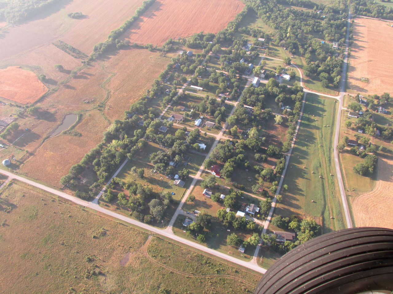
Butler Airpark – a residential airpark East of Rose Hill.
I like this Glennview because it gives the appearance of being in an airliner at 35,000 feet.
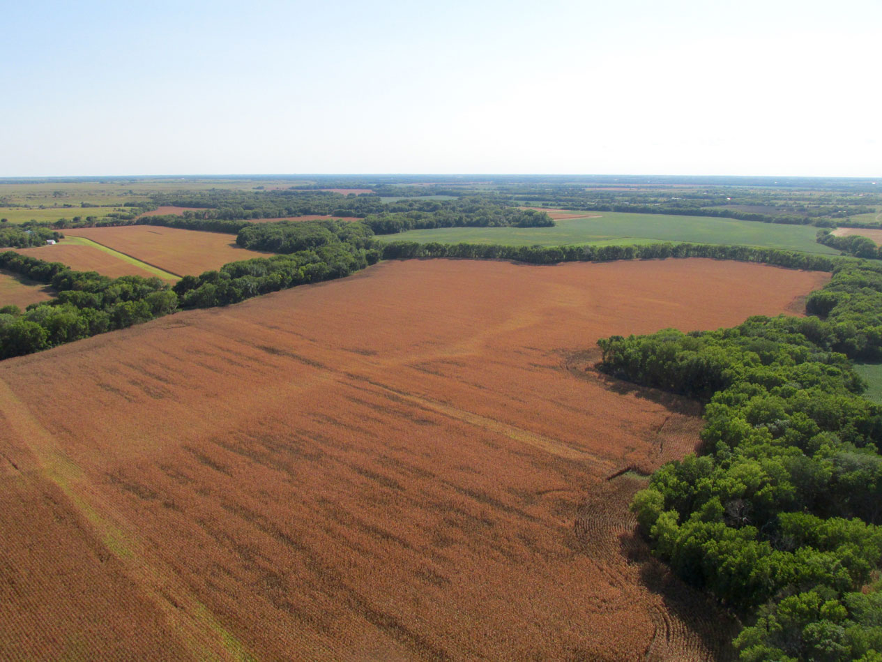
Milo ready for cutting.
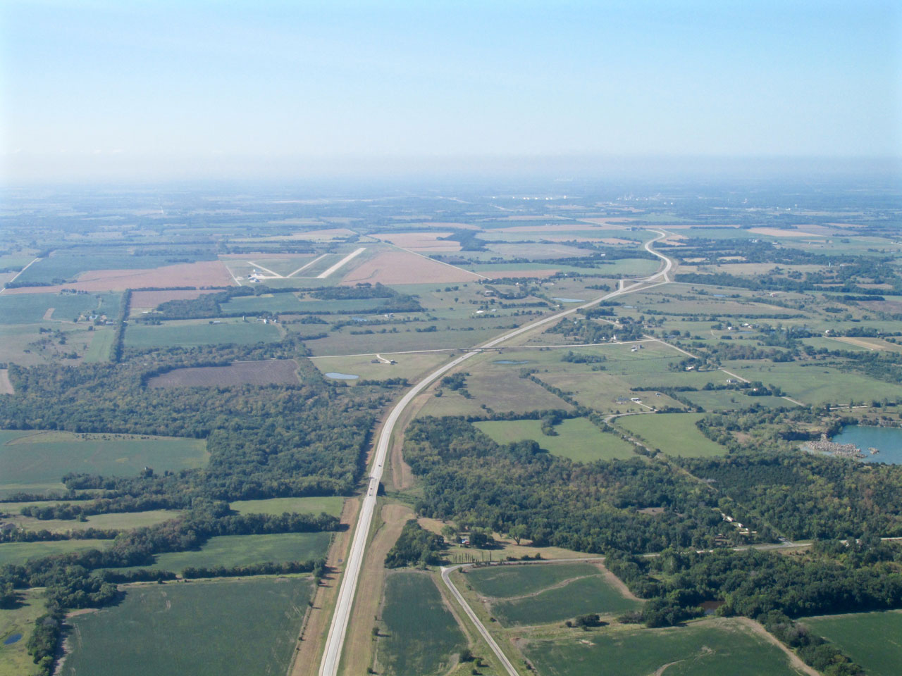
Out on The Plains on a The Misty Highway.
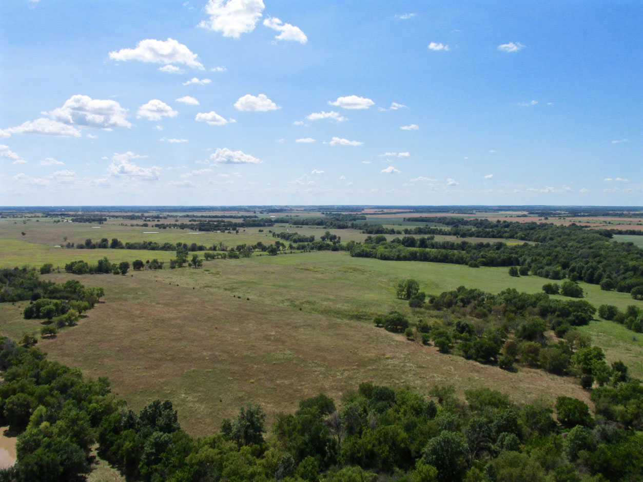
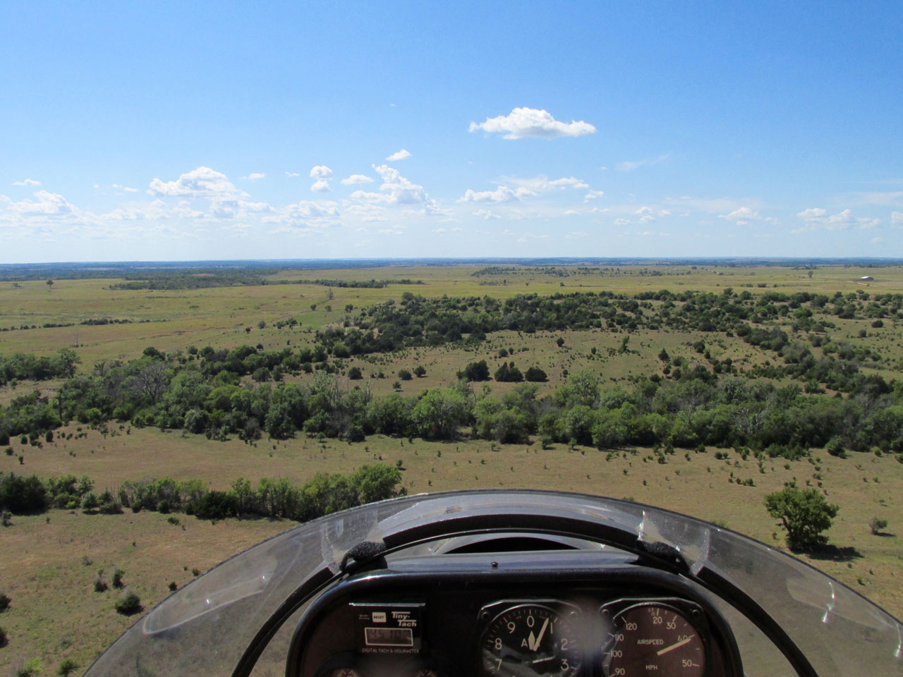
We are transitioning to The Flint Hills.
A Good Bump
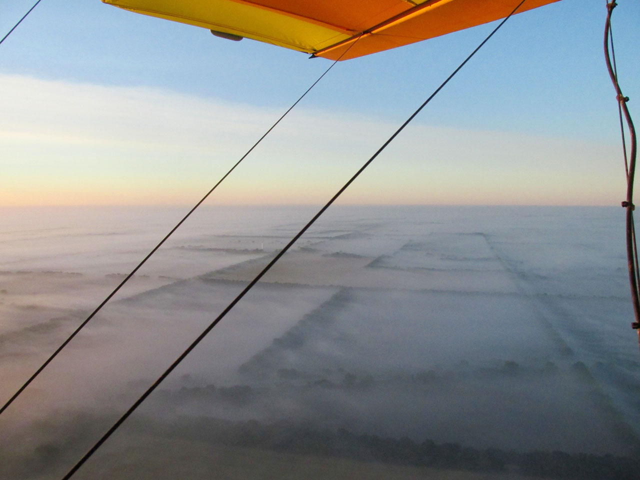
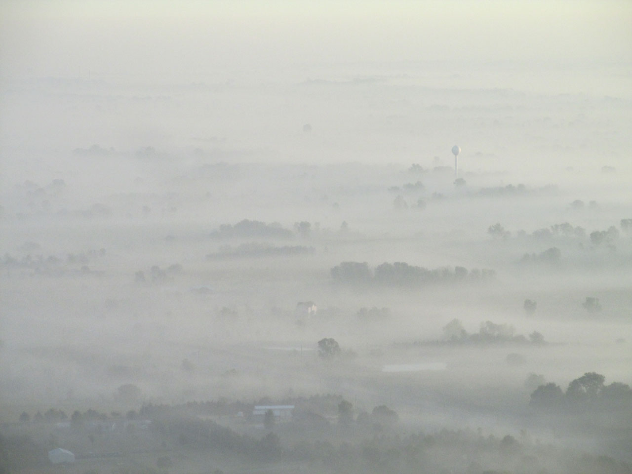
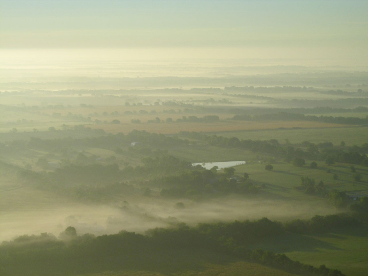
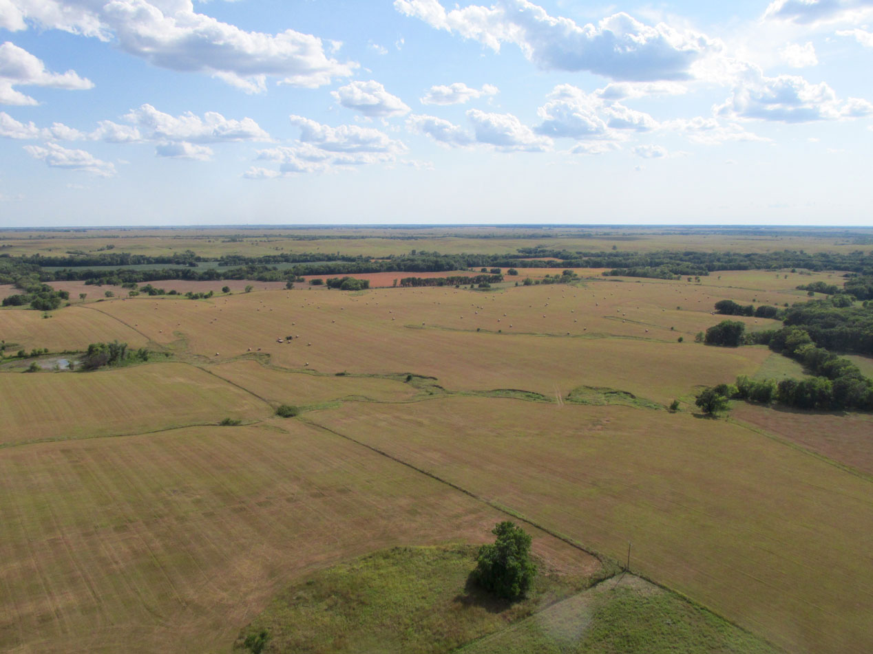
Throughout this leg of the journey I had been the recipient of a 10 to 12 mph tailwind. I experimented with altitudes to find the sweet spot and 1,200′ AGL was the best. Below you will see The Kansas Flint Hills. I was amazed to see the fog still holding all the way out here, too. Usually I fly outbound at a much lower altitude in order to stay under the headwind and then ride it home. The trip to Iola was the exception to the rule.
The Flint Hills with a light blanket of fog as seen from 1,200′ AGL looking Northeast.
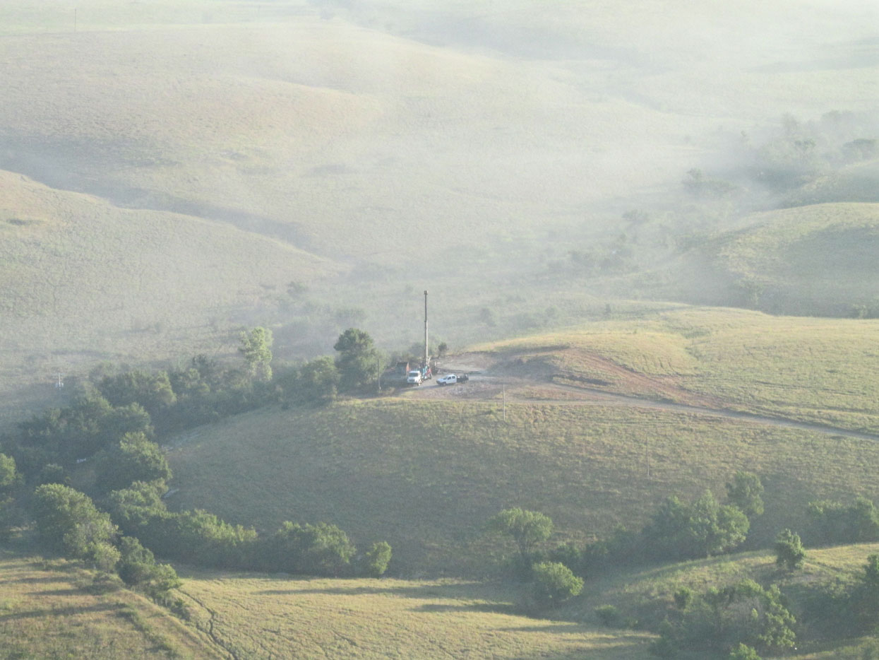
This is a workover rig. They are used to re-open a plugged well or to repair problems in a working well.
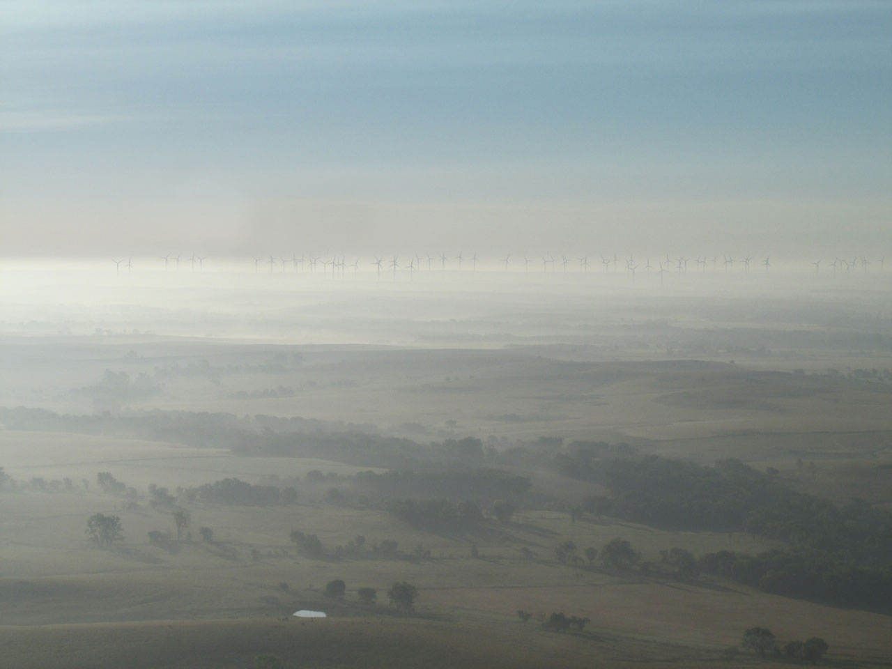
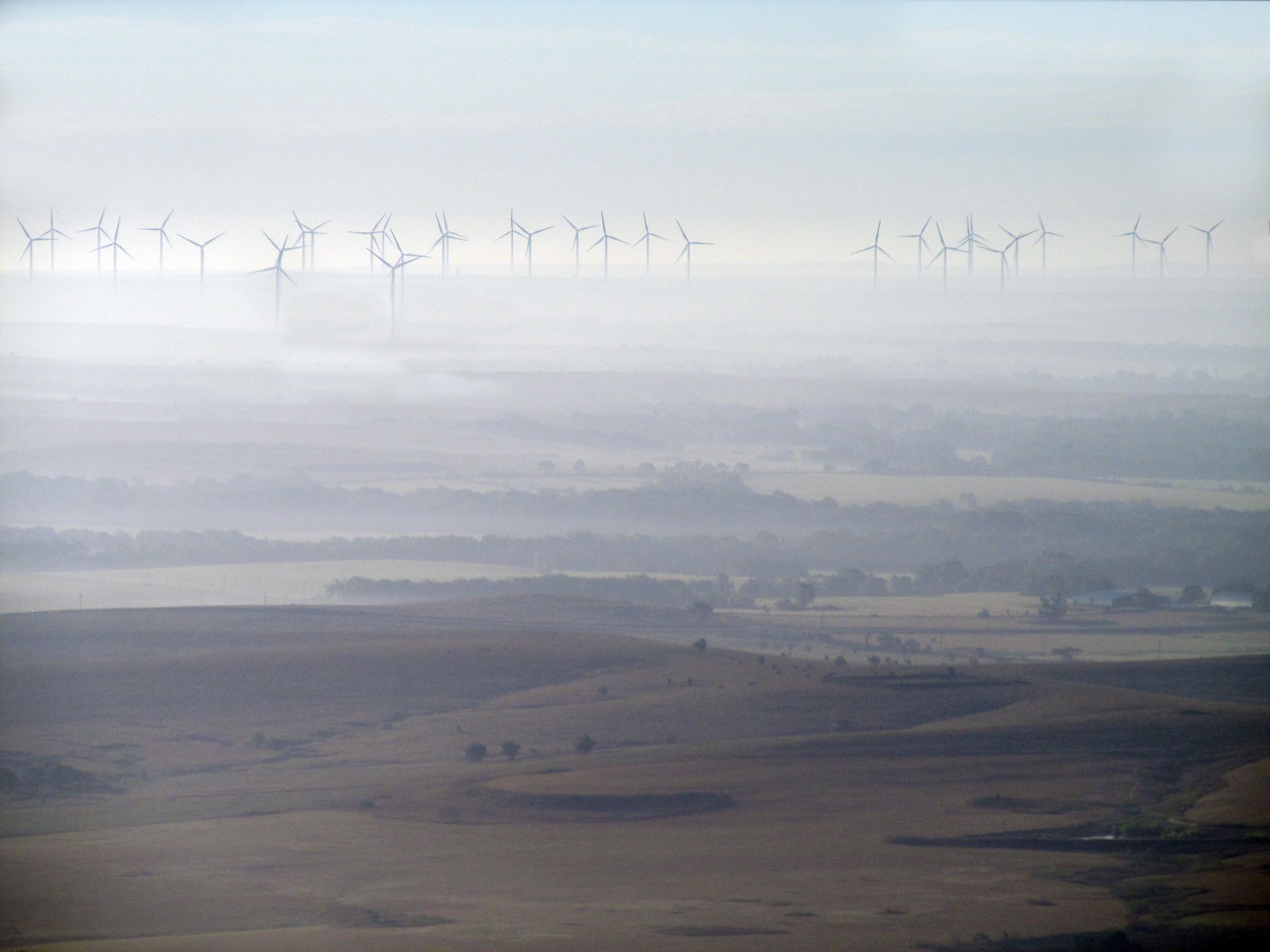
A Wind Generator field South of Beaumont, Kansas.
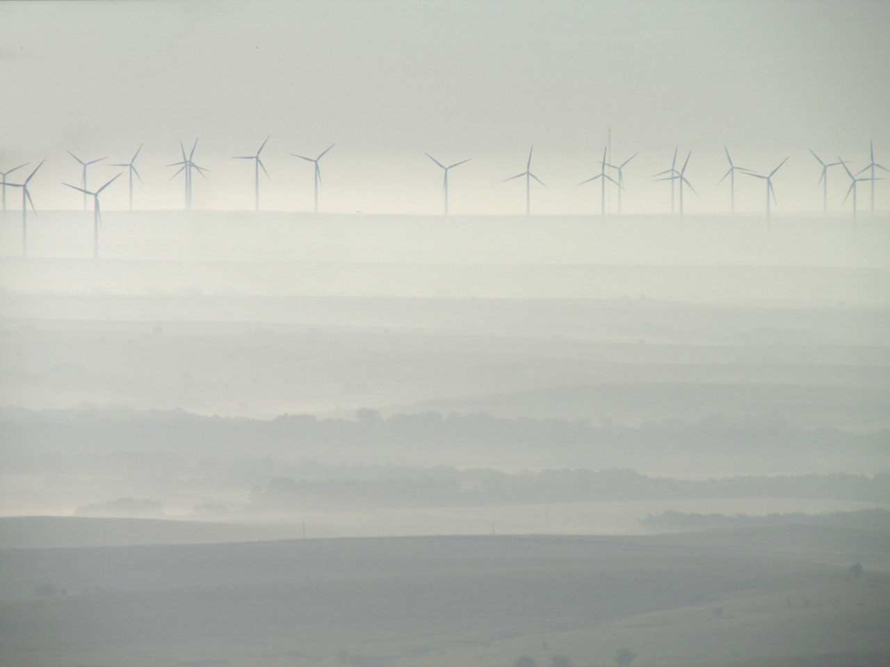
There are 100 fans in this field.
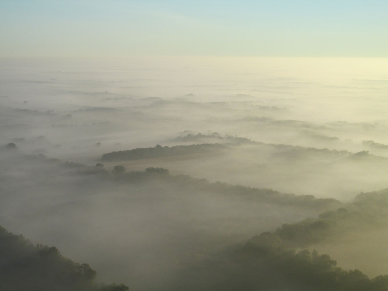
Looking Northeast across The Flint Hills from a position just North of Beaumont, Kansas at 1,200′ AGL.
This is the town of Climax, Kansas. About 72 people live here. I am underwhelmed at my apparent inability to have maneuvered better so as not to have the tire in the shot…
El Toro Solitario
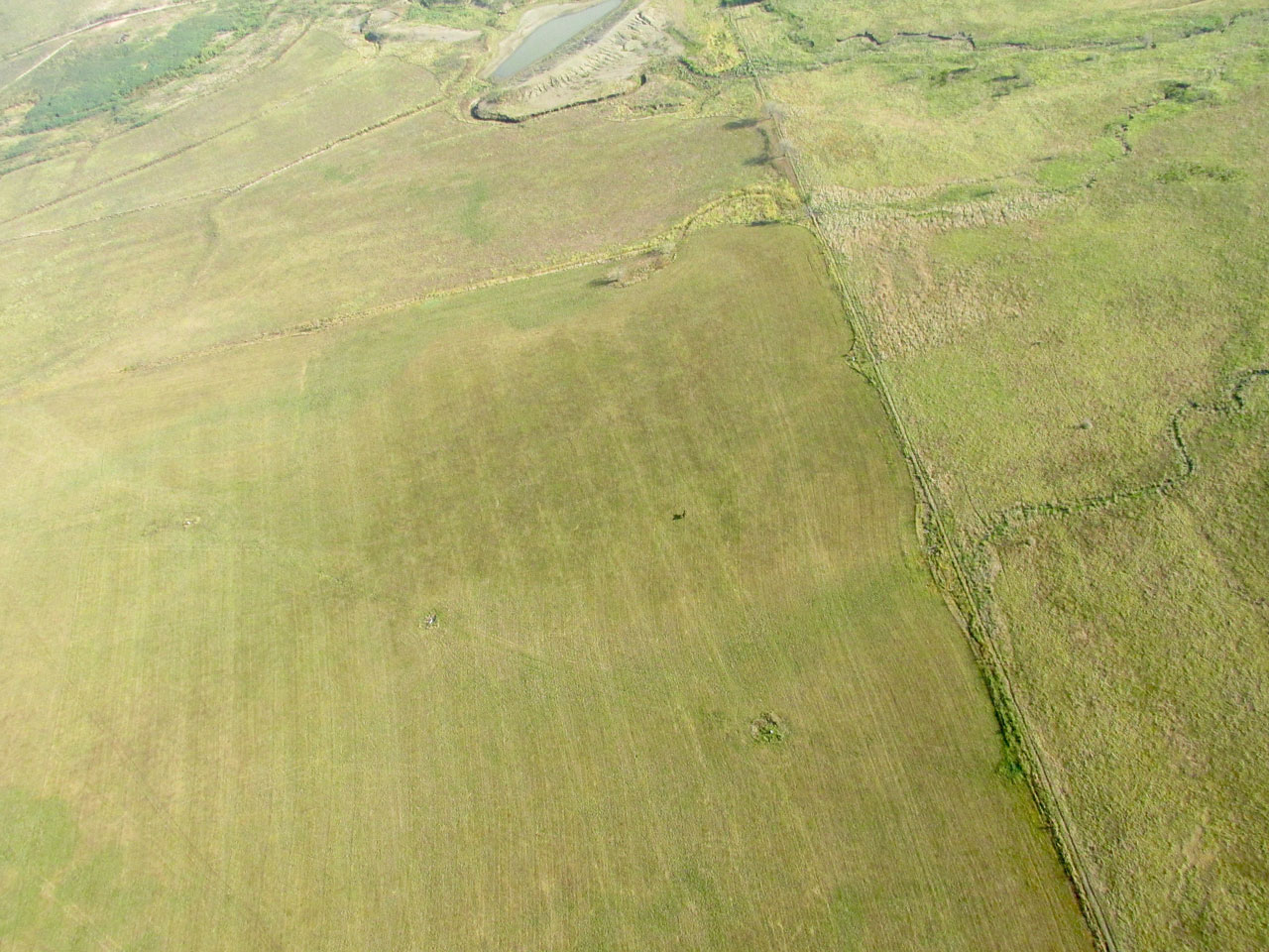
The Lonely Bull
There is nothing special about the shot above except for the lone bull in the center (cue Herb Alpert). Mostly what you see is his shadow. I know he’s been wandering around all morning thinking, “Man, I know I have a herd around here someplace…”. When you are lost in The Flint Hills, you are really lost.
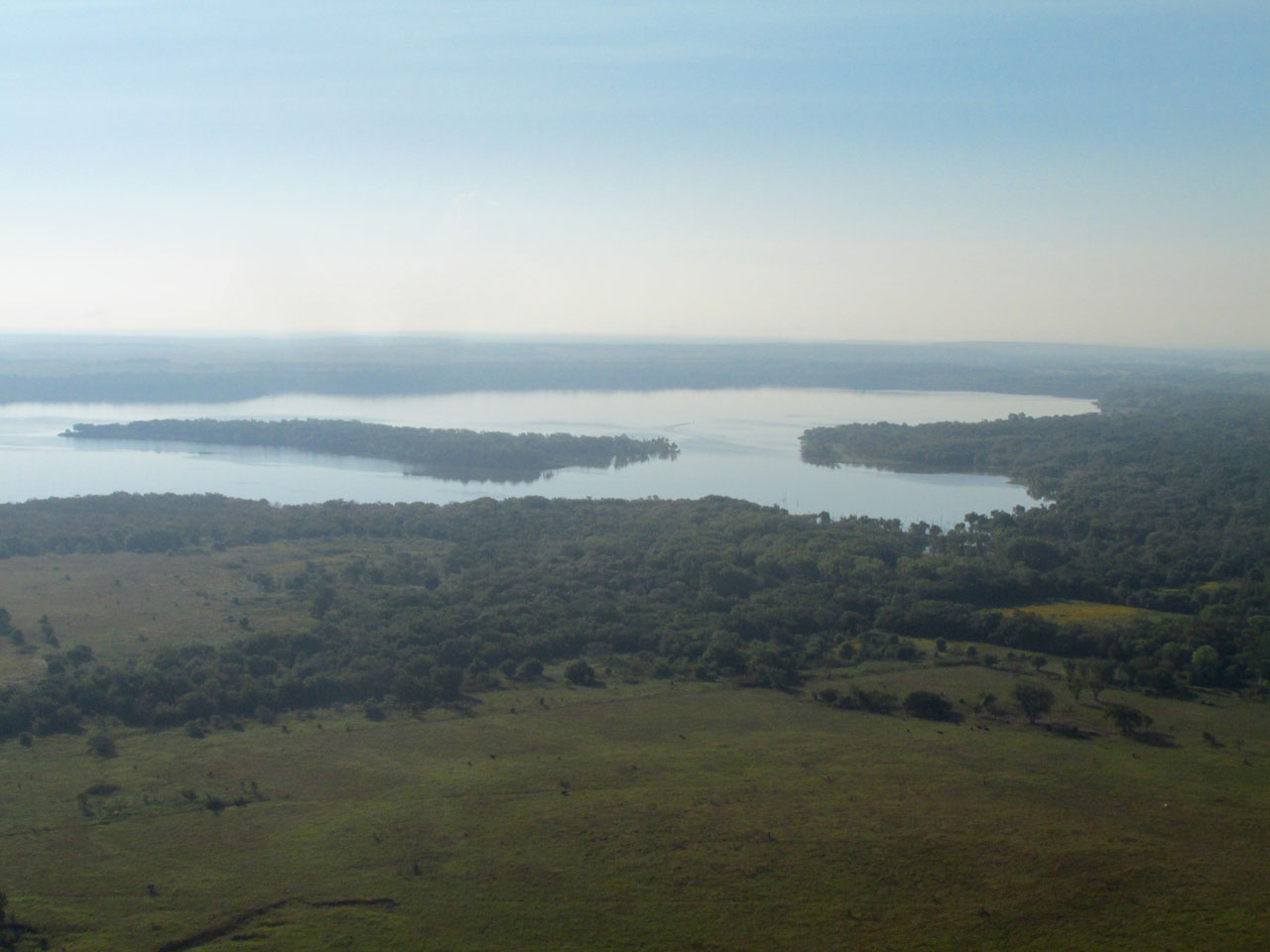
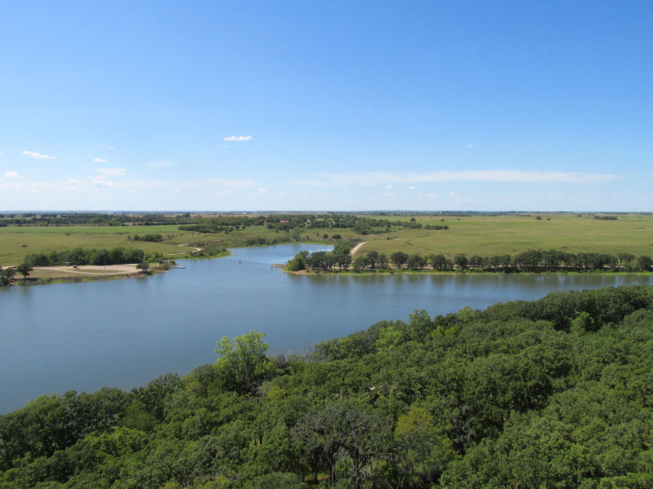
This is the Southern part of Toronto Lake. The town of Toronto, Kansas is at its Northern end.
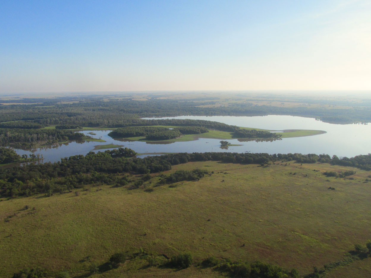
This is the North end of the lake. Iola is straight ahead in this picture.
Choices, Choices
I’m always writing about keeping an emergency landing spot underneath on which to glide in case of an engine failure. Frankly, though, if you are going to get out of the pattern, there will be times when this is not possible. In those instances, one must choose between bad and worse (usually with extenuating circumstances). Toronto Lake presented itself directly in my flight path. Examining the shot above you can see a considerable forest-marsh area to the left and a stretch of water to the fore. I decided to go over the water because with the altitude I was holding I would have minimum exposure to a water landing. I figured I could glide to the bright green spit if needed be. That’s better than coming down in the tops of trees by far.
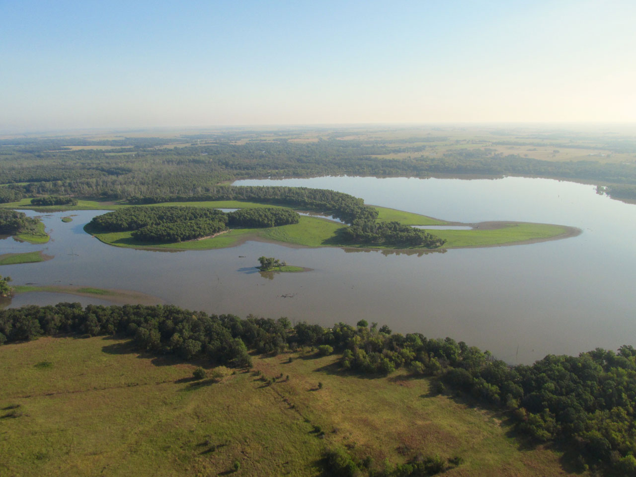
Getting closer. Following the plan.
Slight Deviation…
After deciding the course you see in the center of the shot above, a large group of white birds floating to the south of the light green isthmus caught my attention. I diverted to the right in order to take the picture of them you see below.
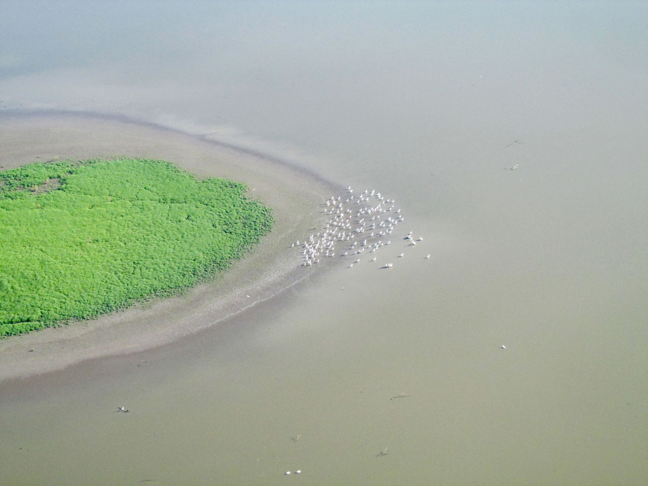
I was high enough that they did not spook as I crossed over them. I think they are egrets.
One look back after crossing Toronto Lake.
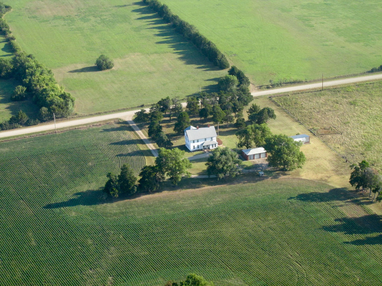
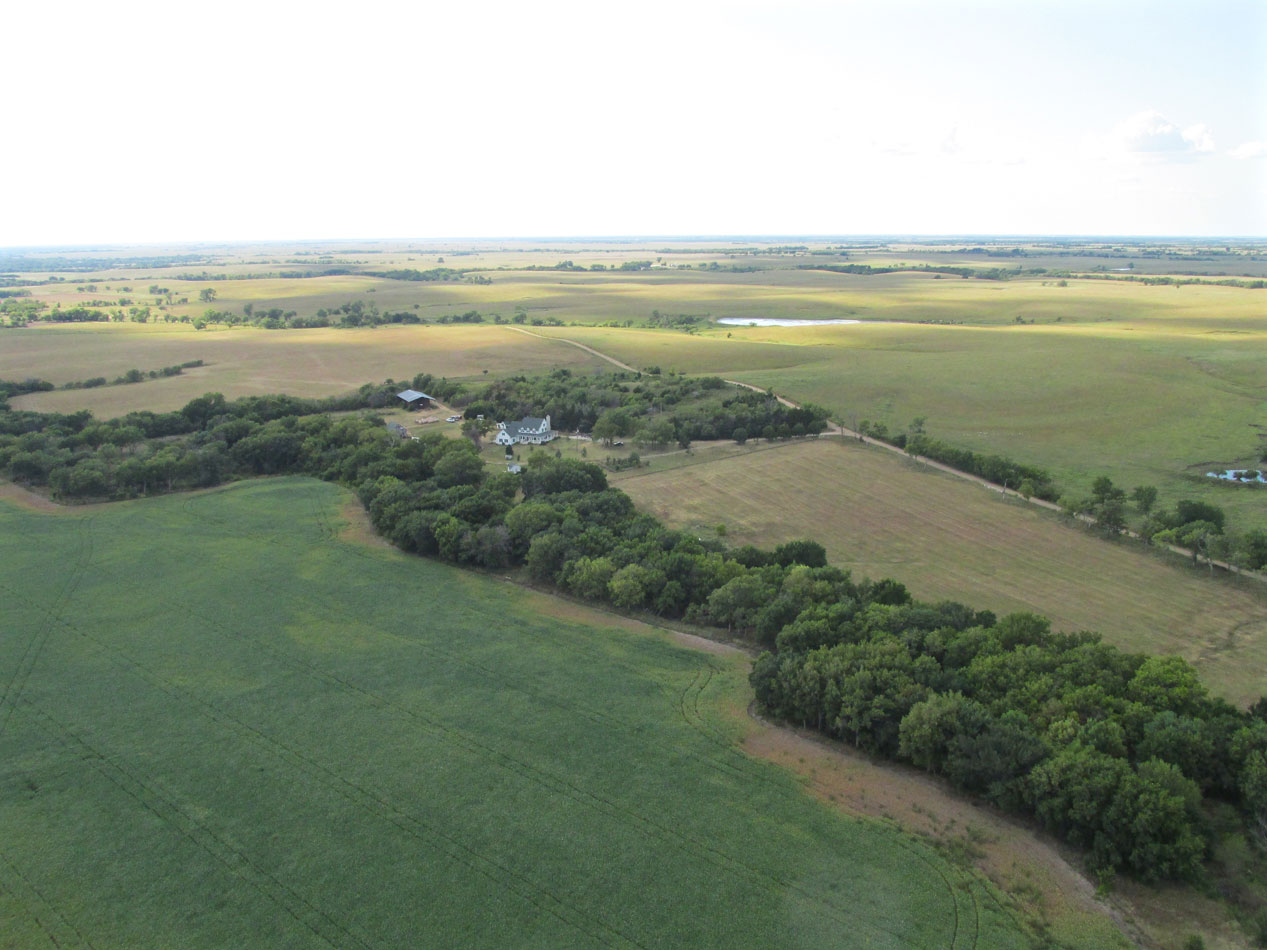
I noticed this elegant farm house miles from anyone else.

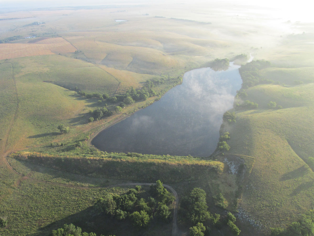
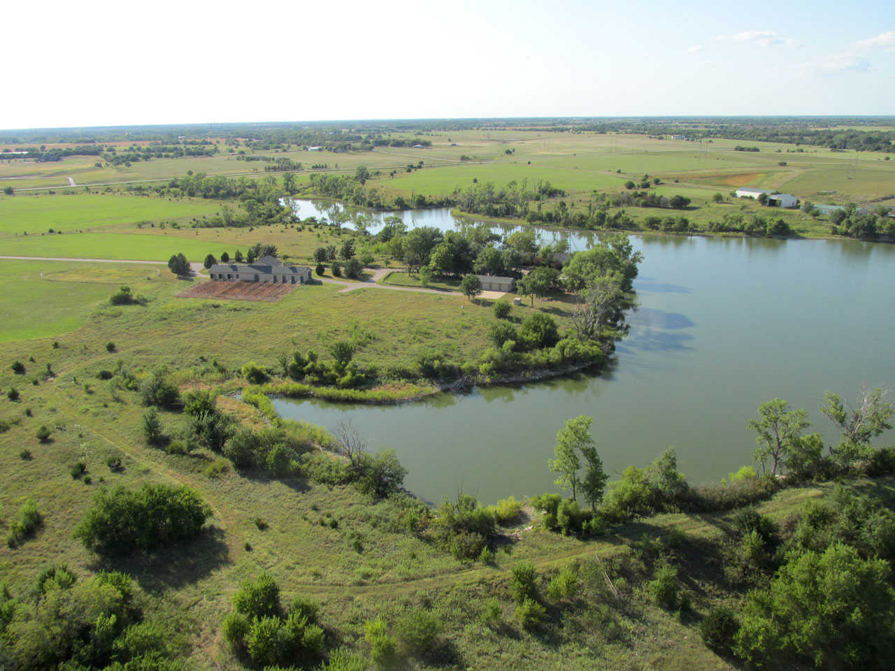
This is Lake Fegan which is about 5 miles East Northeast of Toronto Lake.
Kansas Limestone
A natural resource of great worth is Kansas Limestone. It is used for buildings, signs and markers. In the days of settlement, because board wood was expensive and had to be imported, farmers used limestone to make fence posts. You can still see them at various places across the state. I have also seen slabs of limestone used to fence in an entire home.
A small stone quarry.
Round Or Square?
Hay bales come in a variety of sizes and are either cylindrical or rectangular. When I was young, hay bales were always rectangular and mostly small enough to lift. In the 1970’s, farm equipment companies introduced the large round bales which can weigh up to 3,000 pounds. Typically they are sheathed in a plastic mesh or sometimes a partial or full plastic wrap. There are advantages to the various methods. A more complete discussion of hay storage techniques is available at several places on the web – Like HERE or HERE.
Regardless of the size or shape of the bale, it is best to keep them out of the rain in a shed like you see here.
I liked the way the farmer made smooth arcs around this drainage area.
This was off in the distance from my path but I always take pictures of abandoned silos with trees growing up through them.
In A Fog
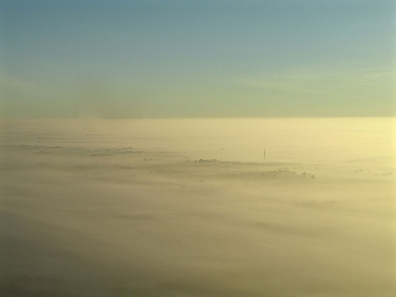
Earlier I presented a number of photos featuring the beauty of the prairie enveloped in ground fog. About an hour and 45 minutes into the trip, the wind direction shifted and was beginning to hinder my progress. To remedy this I dropped out of the stratosphere to cruise at 300′. This alleviated the quartering headwind but resulted with an unintended consequence. The problem was the insistent fog/haze in conjunction with the angle of the sun. The shot below was taken as I crossed the Neosho River about 4 miles West of the airport. Normally at that altitude and distance I should have been able to see evidence of my destination but not that morning…
A good thing about my Quicksilver is that the gas tank is located right above my head so I can easily see the amount of fuel I have. The bad thing is that when it gets down to the last gallon and the destination is not in sight it consumes all my attention. In the shot below, the brightness of the sky to the right (Northeast) is a good equivalent of what my eyes saw: Nothing but Bright White. I began to doubt my GPS and looked for a place to land so I could consult my map. I wondered if I was too far South. While dithering around, not able to make a decision, I passed over a number of really nice landing field candidates but continued on in hopes of seeing the destination. Finally I was seized with the desire to land and figure out where I was. By then, though, the good spots were all behind me…
The Neosho River from 300′ looking North Northeast.
Suburbanite Goes To The Country
OK. I grew up in Suburbia. Since moving to Kansas in 1980, I have been interested in The Farm Life and have come to know a little bit about crops and farming. Some I learned by discussions with farmers, some I might read in the paper and some I learned from observation. Some things about farming I learned the hard way – from direct experience. This was such an opportunity…
A fine and wonderful thing about The Great Plains is the constant availability below almost any flight path of an abundance of perfect landing fields. Non-Pilots refer to these landing fields as mowed hay fields. Countless times I have touched down on them and have found them to be absolutely ideal for that purpose.
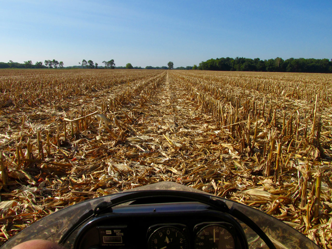
From the lead-in discussion to the previous picture, you might have formed the idea that I boxed myself into a corner. I won’t confirm or deny that. By the time I finally committed to land, I looked ahead and saw an open field about a quarter mile from my position. This suited me fine because I didn’t want to back track to any of the 3 perfect hay fields I had just passed over. Going forward would save fuel. I mentally patted myself on the back for persevering in my quest. That glow extinguished when I was close enough to see it was a harvested corn field. I had never landed on, walked on or in any serious way considered a harvested corn field before…
I throttled down to make a low pass over the field. From about 10 feet I could see there was plenty of room between the few stalks that remained in the ground as long as I landed with the rows and not across them. Confident of my piloting ability, I decided I would “put ‘er down” in one of those clear rows, get out and look at the map.
That I did. In the bargain I learned something new about farming that everyone I discussed this with in the interim takes as “common knowledge”.
Corn Cobs
What I couldn’t see in my low pass of the field was the nearly complete blanket of corn cobs over the field. This became apparent the moment my wheels touched down and they pitched out in all directions around me. Upon checking the propeller I am happy to report no strikes but it did make for a very rough landing field. I did some research and found that corncobs had been used for heating years ago and have potential for making ethanol but with the advent of combines they are just tossed back onto the field.
The scene from the cockpit after landing. The bright, orange colors you see are the few cobs that aren’t hiding under the dead corn leaves.
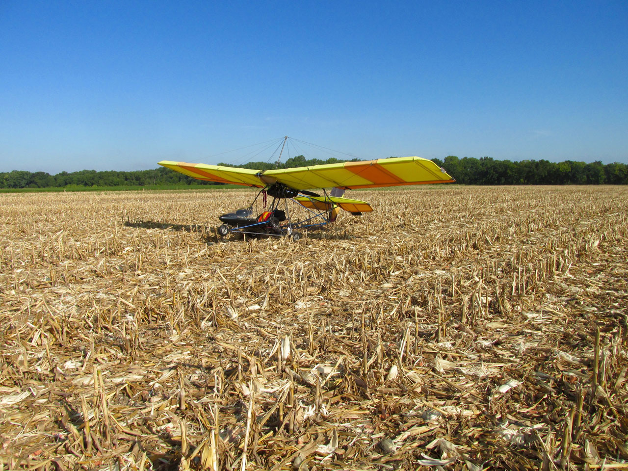
It did make for a nice picture of the MXL but that’s the last cornfield I will purposely land in.
Iola Proximate
My corny landing at least allowed me to confirm the GPS. After takeoff I climbed for a better view and it wasn’t five more minutes of flying before I saw the town.
A Slave To Convention
In the shot below, the airport is quite a bit to the right of the right edge of the frame. It is 4 miles South of town and would have been fairly quick to reach from that point. But, my Standard Operating Procedure (SOP) upon reaching a Safari Destination is to grab my aerials of the town FIRST. That way if the scene gets cloudy or I run long on the ground and am pressed for time or any other issues, I will have some “sky shots” of the town. I suppose I could write a Sky Safari Story about a town even without aerial views of it. I personally would find it severely lacking, unprofessional and an embarrassment and far below the high standards of The Sky Surfer. I might even have to post it under another name… Thus it is a priority and this next series will reveal the result of said effort. I will circumnavigate Iola clockwise starting from its Southwest side and then exit on its Southeast side, then heading to the airport.

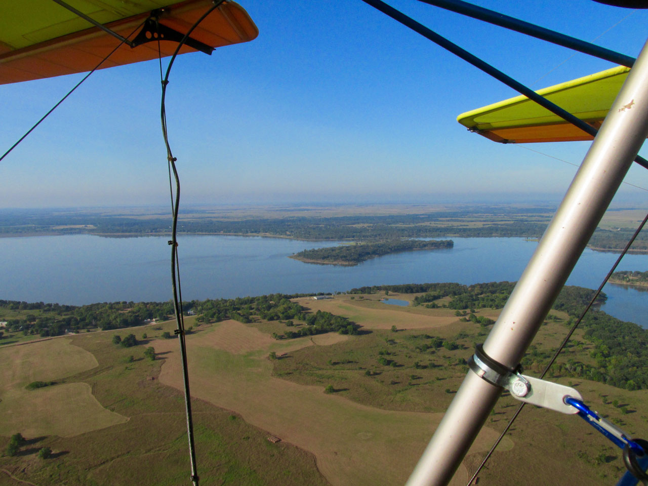
Iola, Kansas from 1100′ AGL looking North.
Here we are looking toward the center of town with the Iola Recreation Center and Riverside Park in the foreground.
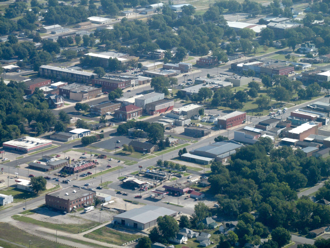
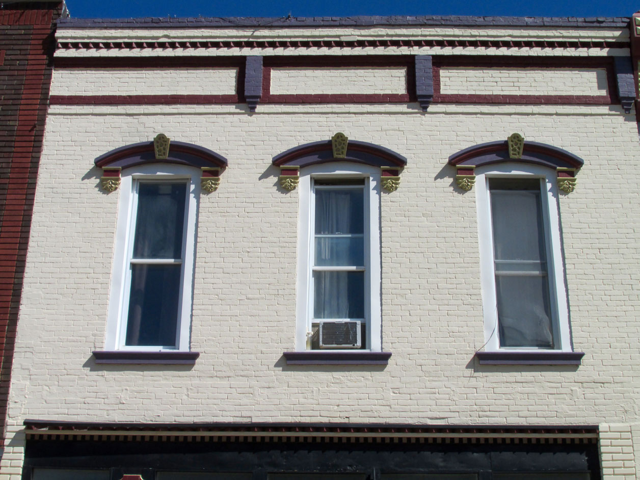
This is the center of Iola from the Southwest. I’m still shooting through the haze. I am at 1,500′ AGL. In a bit you will see some of these buildings from street level.
I spent 20 minutes scouring the Internet to be able to tell you what this is and I am still not 100% sure. It lies on the West edge of town on Hwy 54 adjacent to the Neosho River. Even though it looks too small to me, it is most likely the city power plant. Please let me know if it is not…
NOTE: An “Eagle Eye Award” goes to Leslie Wilhite who commented on the photo and caption above and also to a photo a few downstream… “In Iola the picture that you thought was the city power plant is true and the copper colored roofs are the recent water plant upgrade. The two lakes at Bassola are old limestone quarries from when Iola had a cement plant. The smaller one is called Elk’s lake. And by the way there is a town called Bassola which consists of about 10 or 15 residents. They have a city council and Mayor form of government.”
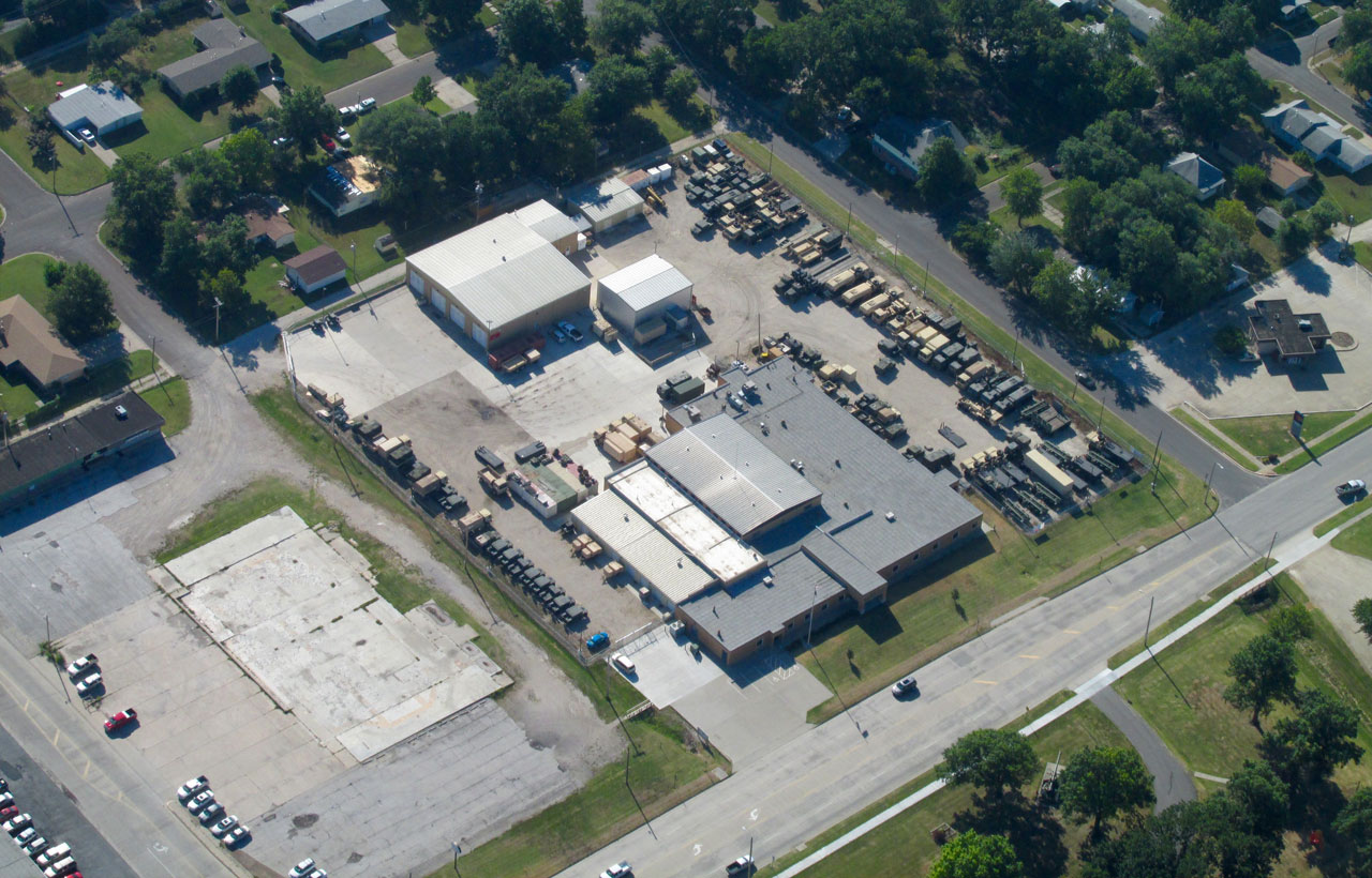
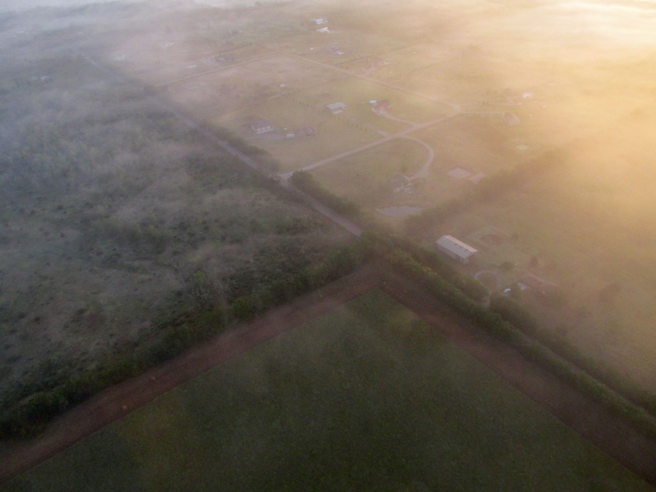
I decided this had to be the Iola Armory of the Kansas National Guard. Later this will be confirmed with another shot you will see from ground level.
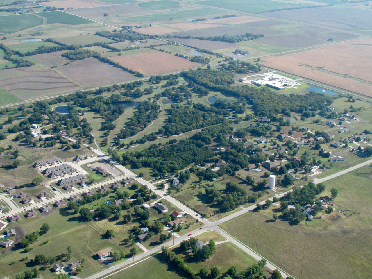
This is the Cedarbrook Golf Course. On its Northeast corner is Allen County Regional Hospital.
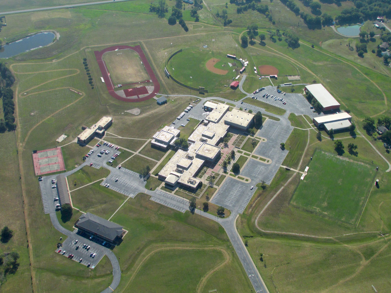
Here’s a dramatic shot of Allen County Community College.
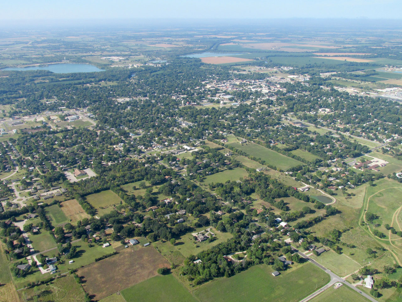
I’m at 1,200′ AGL looking Southwest at Iola.
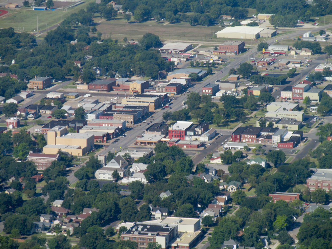
A telephoto of the downtown area from the same height and angle as the previous shot.
On the Southeast edge of Iola I looked South for the Allen County Airport which you can see East of Highway 169.
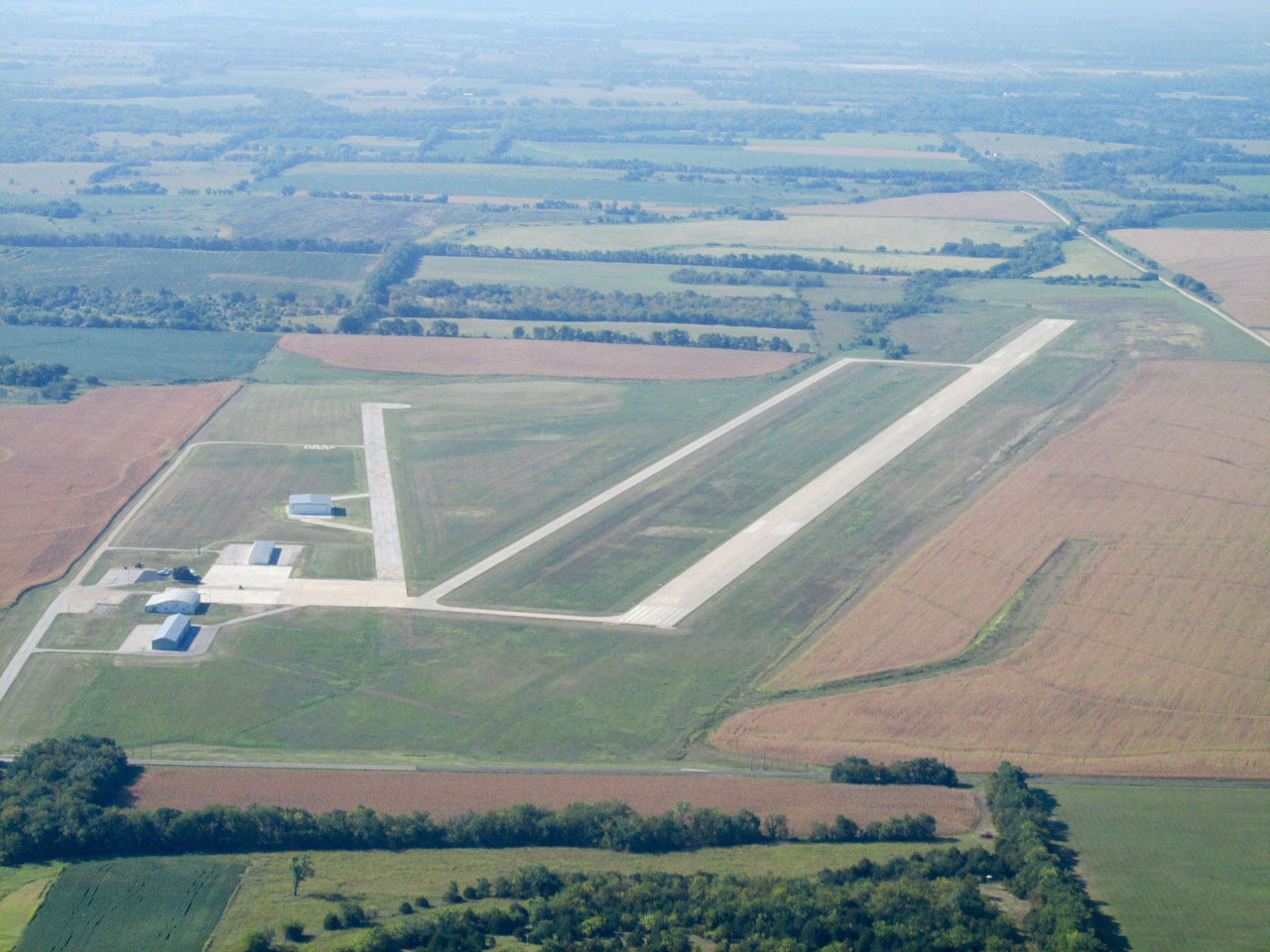
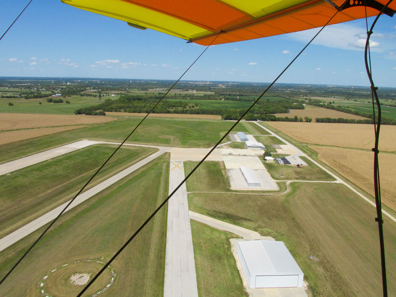
The Allen County Airport from the North at 1,500′ AGL before I entered the pattern to land.
Check This Out…
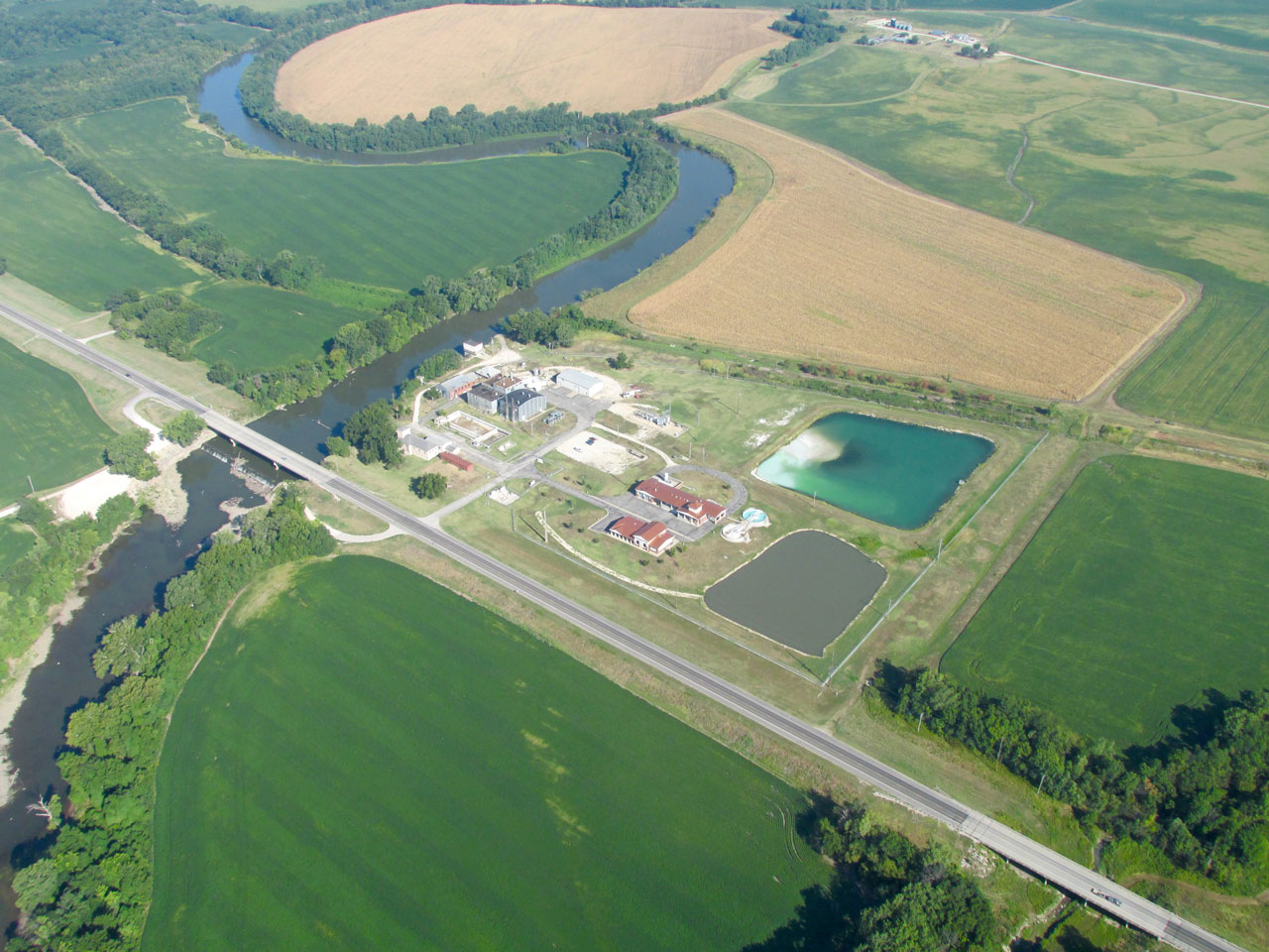
It took me about 20 minutes to find a map on the web with names of these three bodies of water on the South Side of Iola. Farthest West, at the top of the photo below, are the water purification vessels. Then MapQuest says that both of the other lakes are named Lake Bassola. Maybe one is Lake Bassola Minor and the other Lake Bassola Major.
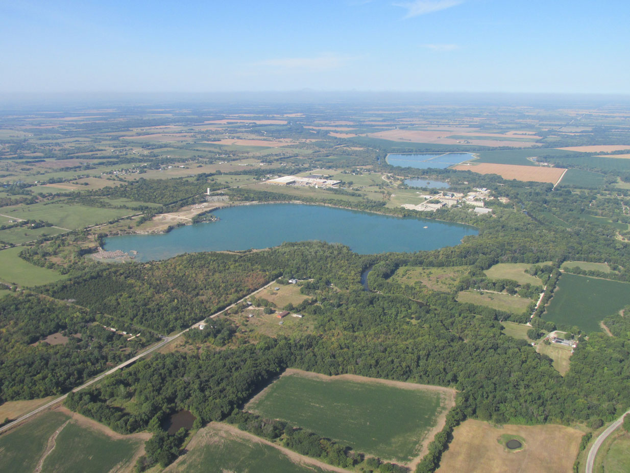
Water units on the South Side as seen from the East at 1,800′ AGL.
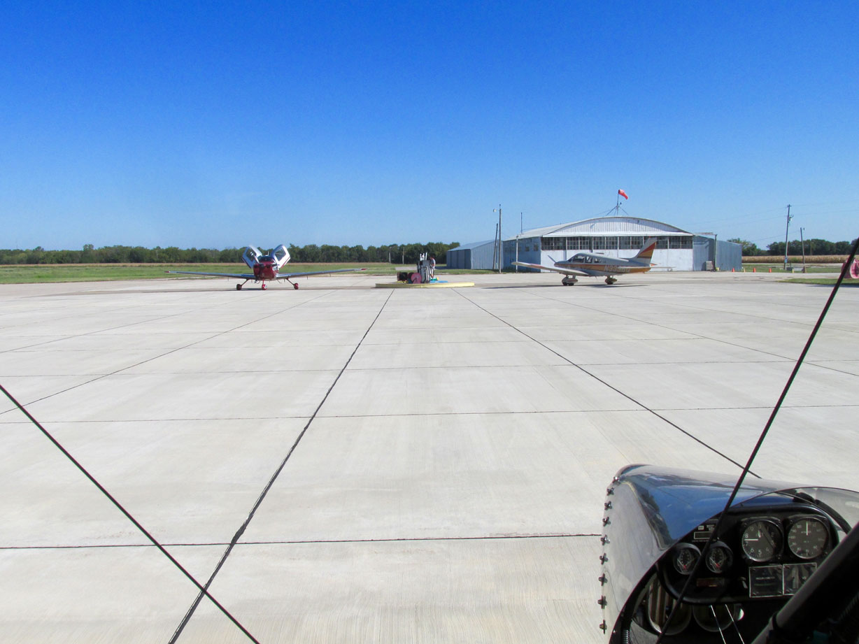
After landing I tied my plane down as soon as possible. The 4 seater on the left landed and taxied up while I was securing my Ultralight.
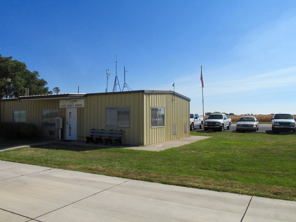
Allen County Airport is excellent. Self service fuel. The office is nice. There is a fridge with cool drinks. It is air conditioned and they have a couple of vehicles to borrow for a quick look around town.
Contest For County Seat
As I research the small towns to which I Safari, I have learned the importance of being the County Seat – particularly during the settlement years. Iola was formed by a group of citizens who were disgruntled at the Kansas Legislature’s choice of Humboldt, Kansas to be the Allen County Seat in 1858. In 1859 they started their own town. They named it after the wife of one of the owners of the property upon which the town was platted. They continued to politic for this position and were finally vindicated at the end of The Civil War. They finally garnered the votes necessary and were declared The Allen County Seat on May 19, 1865.
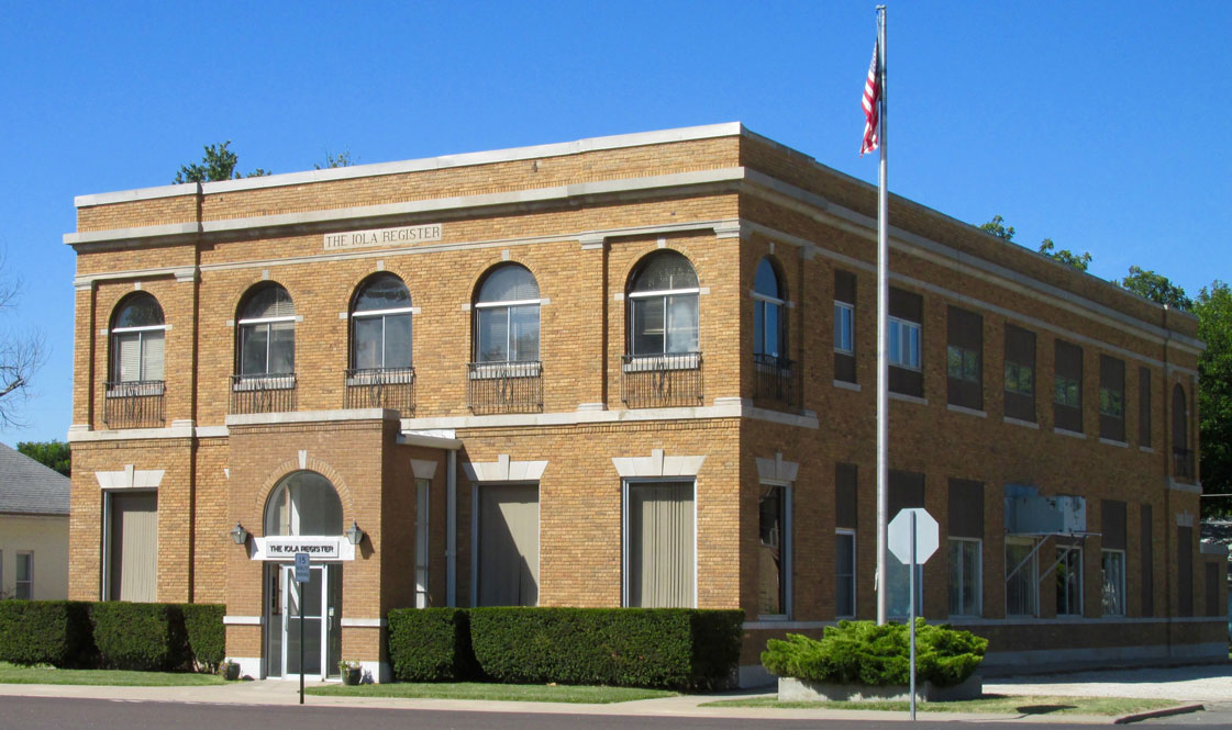
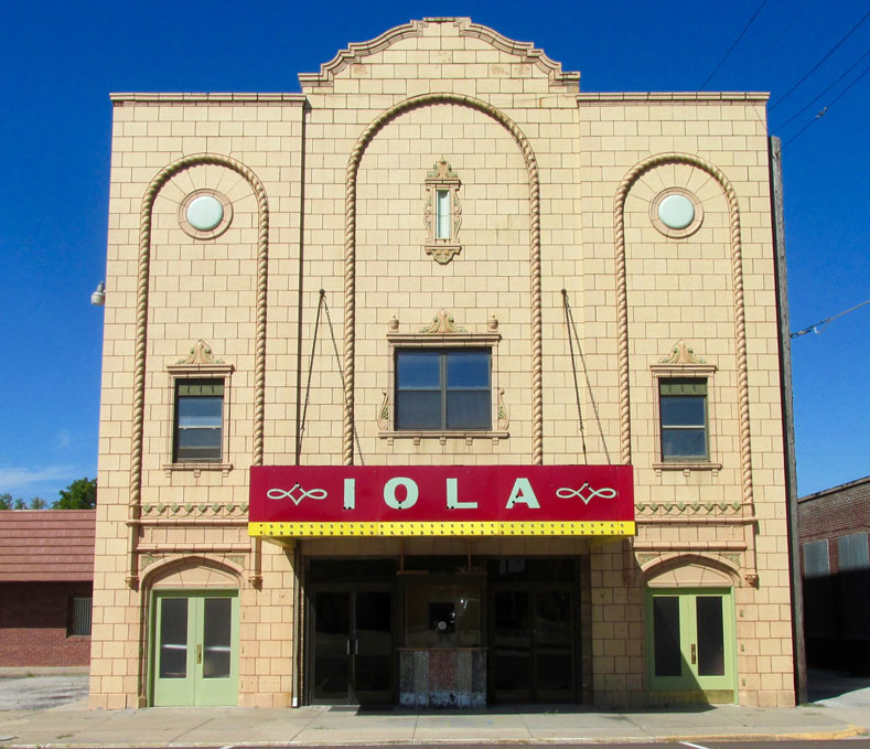
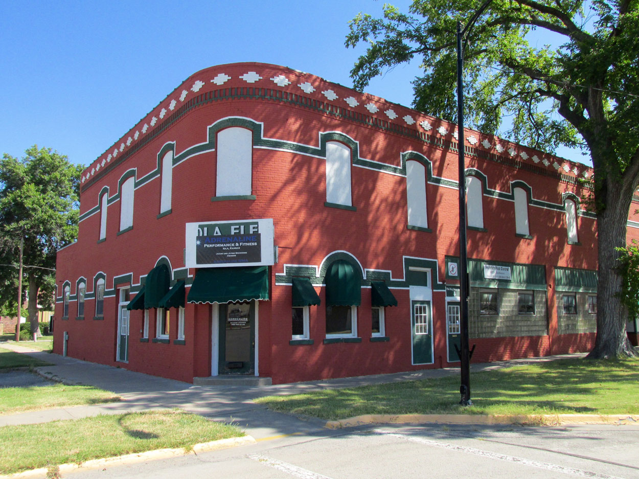
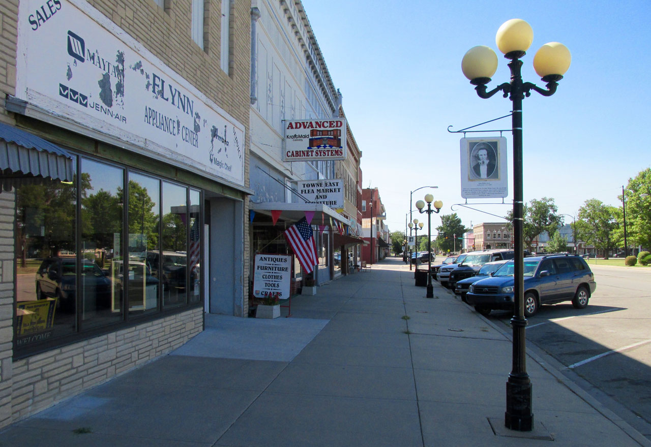
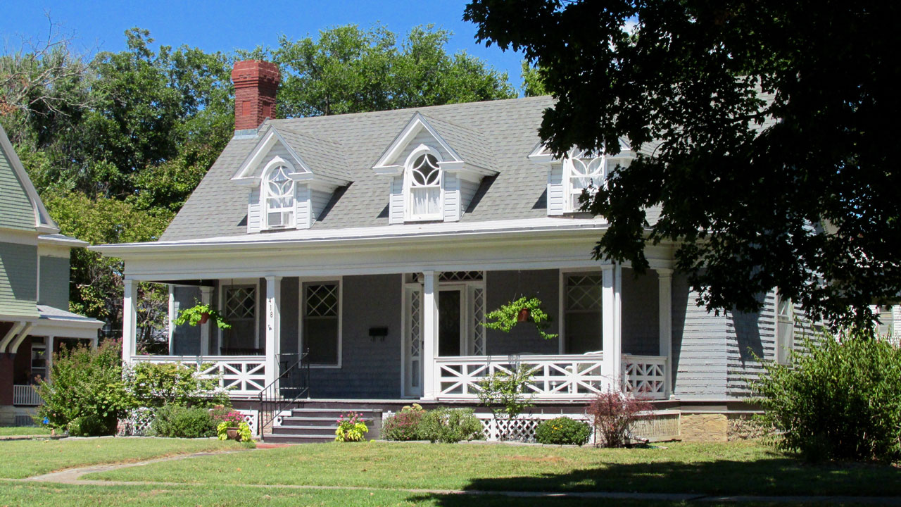
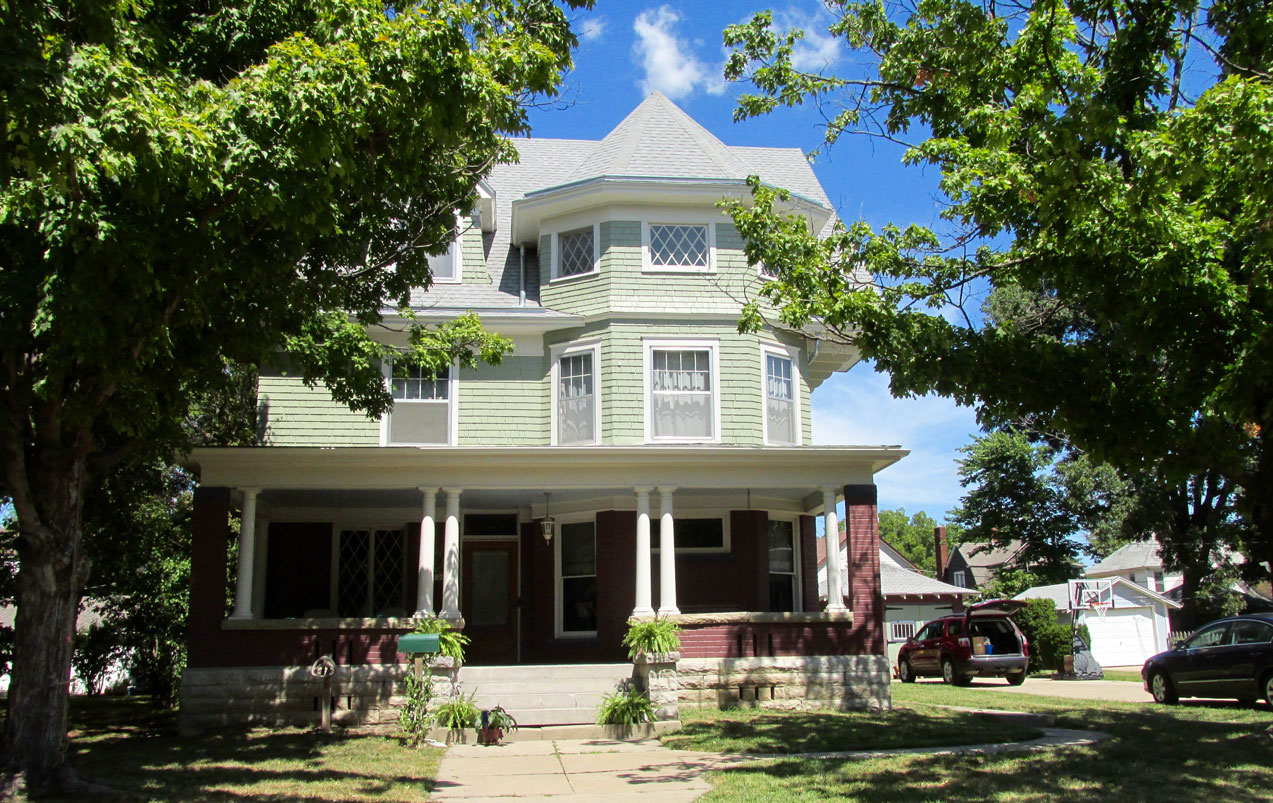
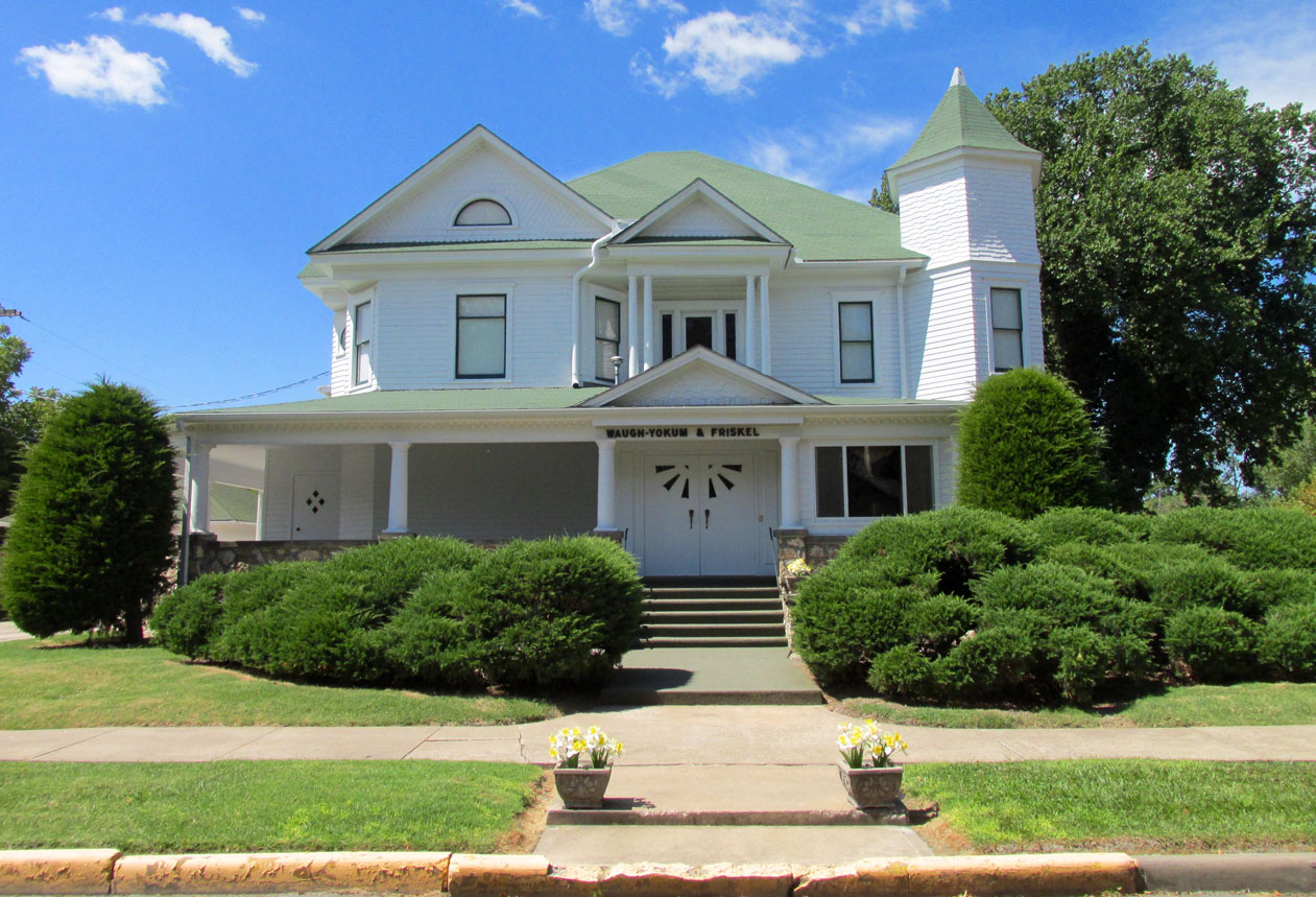
Now that you have seen Iola from the air, I will show you various things that caught my attention as I drove around to see it for the first time.
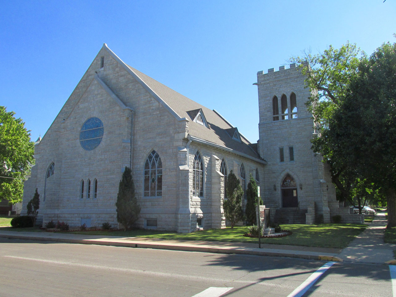
Truly a magnificent stone edifice.
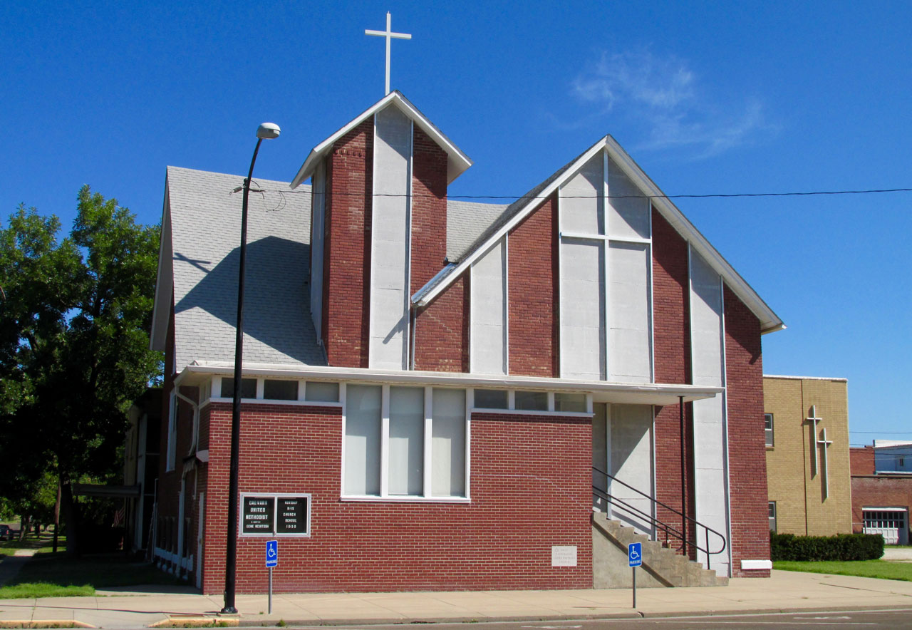
The Iola Wesley United Methodist Church on Madison Street.
The Bowlus Fine Arts Center
The Center was presented to the City by Banker and Businessman Thomas H. Bowlus in 1964. It has a very solid look to it with a touch of Art Deco on the main street side. I have included photos of the plaques that adorn the entry way so you can read more about this fine structure and its mission.
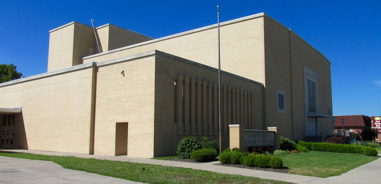
Bowlus Center as seen from its Northeast Corner.
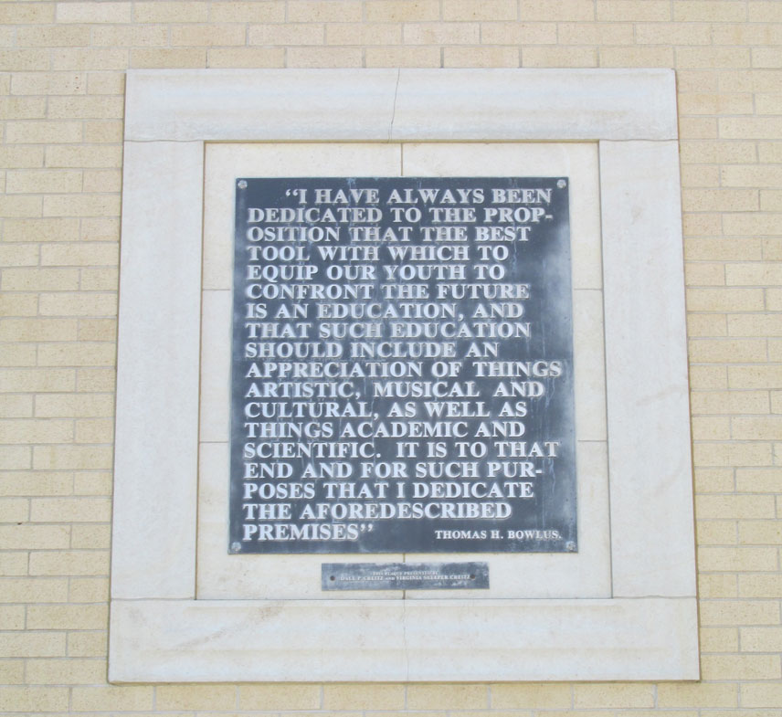
A statement from the founder.
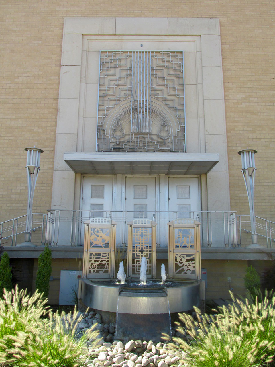
The elegant entrance to Bolus Center.
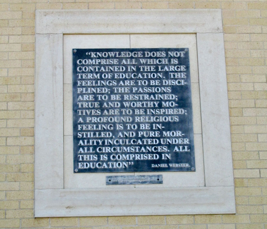
Words from Daniel Webster
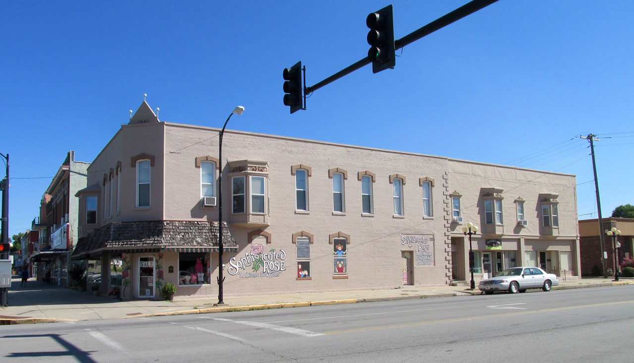
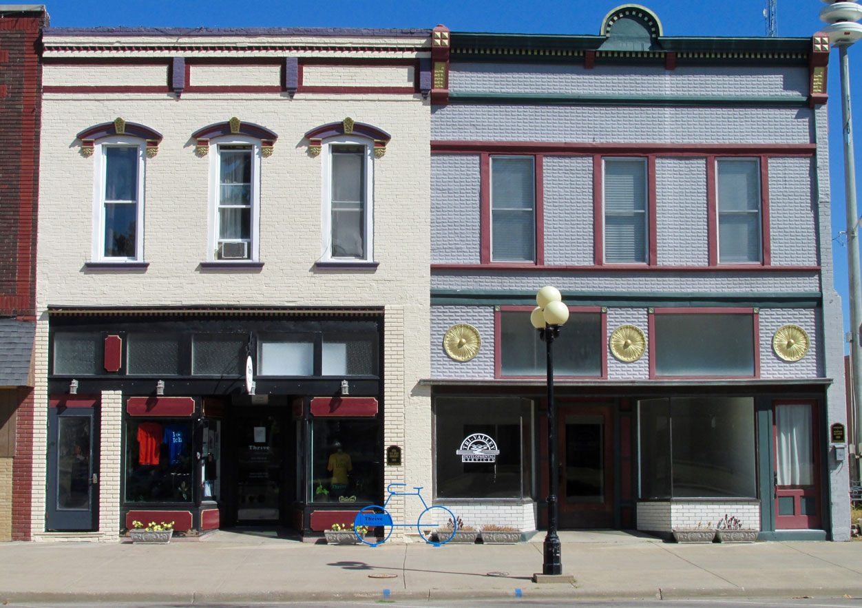
Sophisticated Rose at 19 South Jefferson.
This elegant building is the cornerstone of a whole block of exceptional architecture. I will show more as we go.
I like that color.
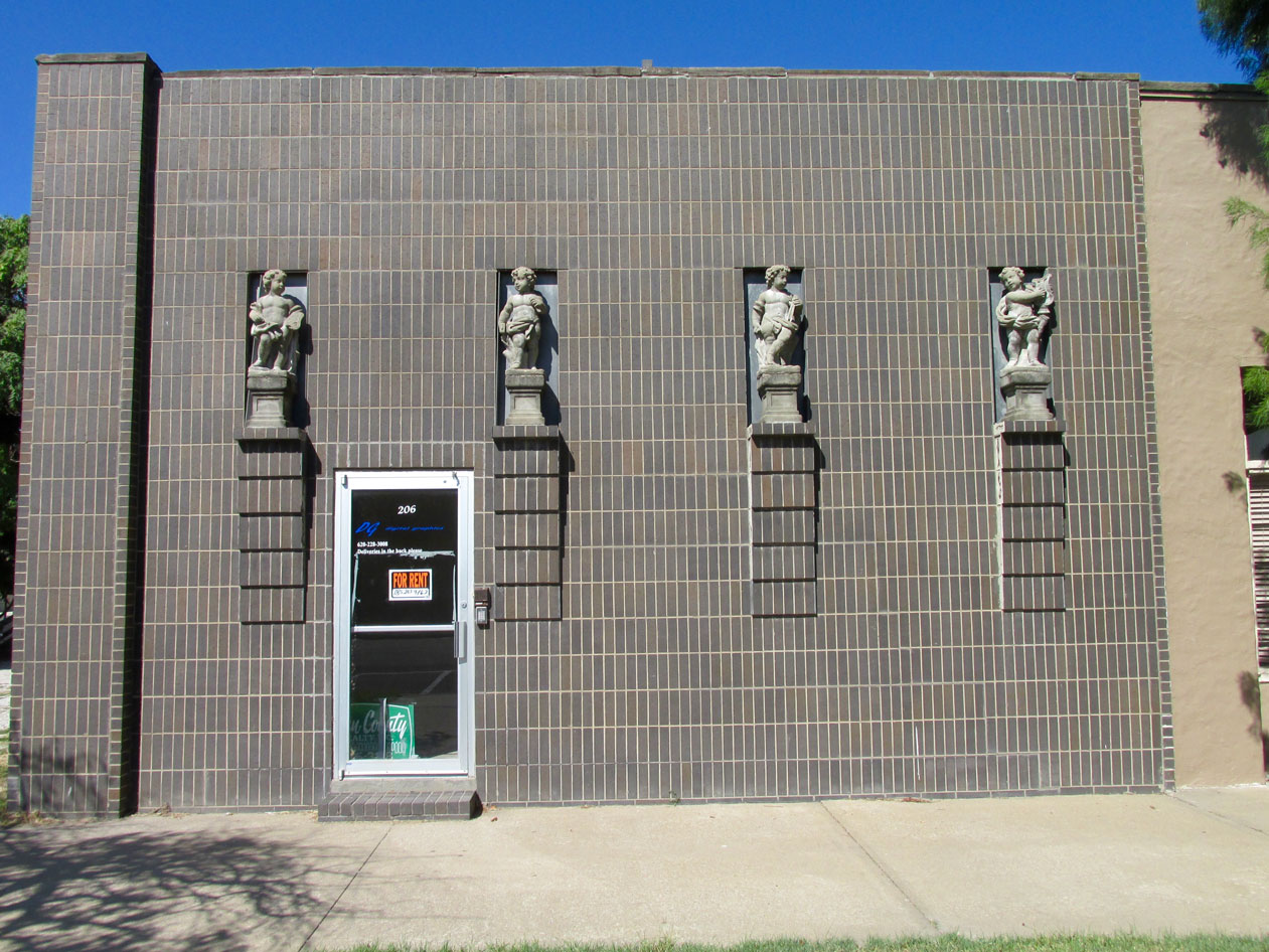
I call this “The Cherub Building”.
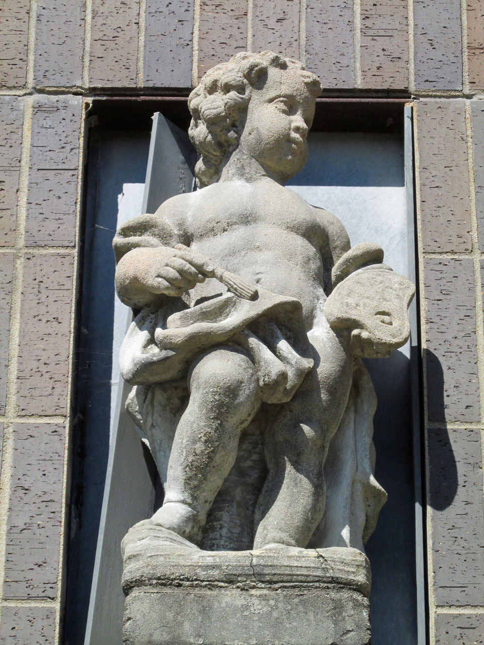
A cherub closeup
I think this impressive structure is a home.
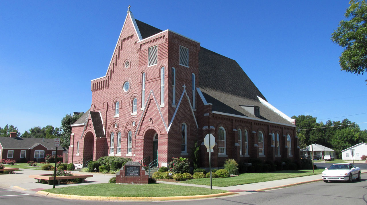
St. John’s Catholic Church on Jefferson Street
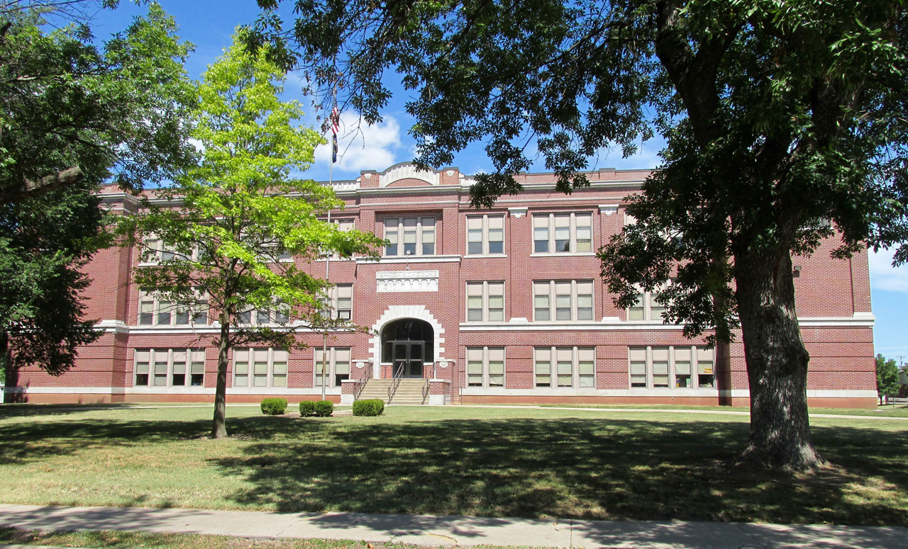
I think this is Lincoln Elementary School on North Jefferson
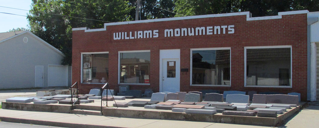
Williams Monuments – I have never seen gravestones presented outdoors like this.
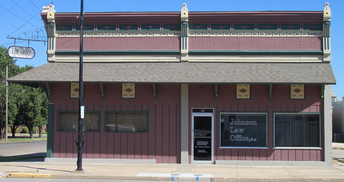
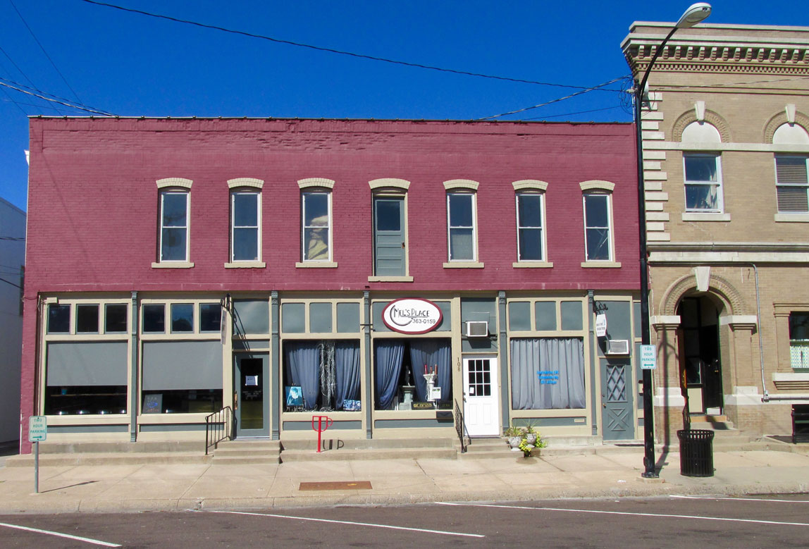
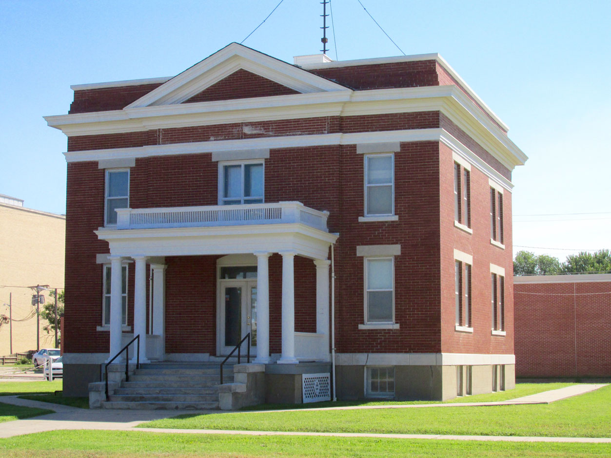
As with most of the older buildings in Iola, this law office has been skillfully restored.
At the intersection of two busy downtown streets some folks were taking donations for a cause.
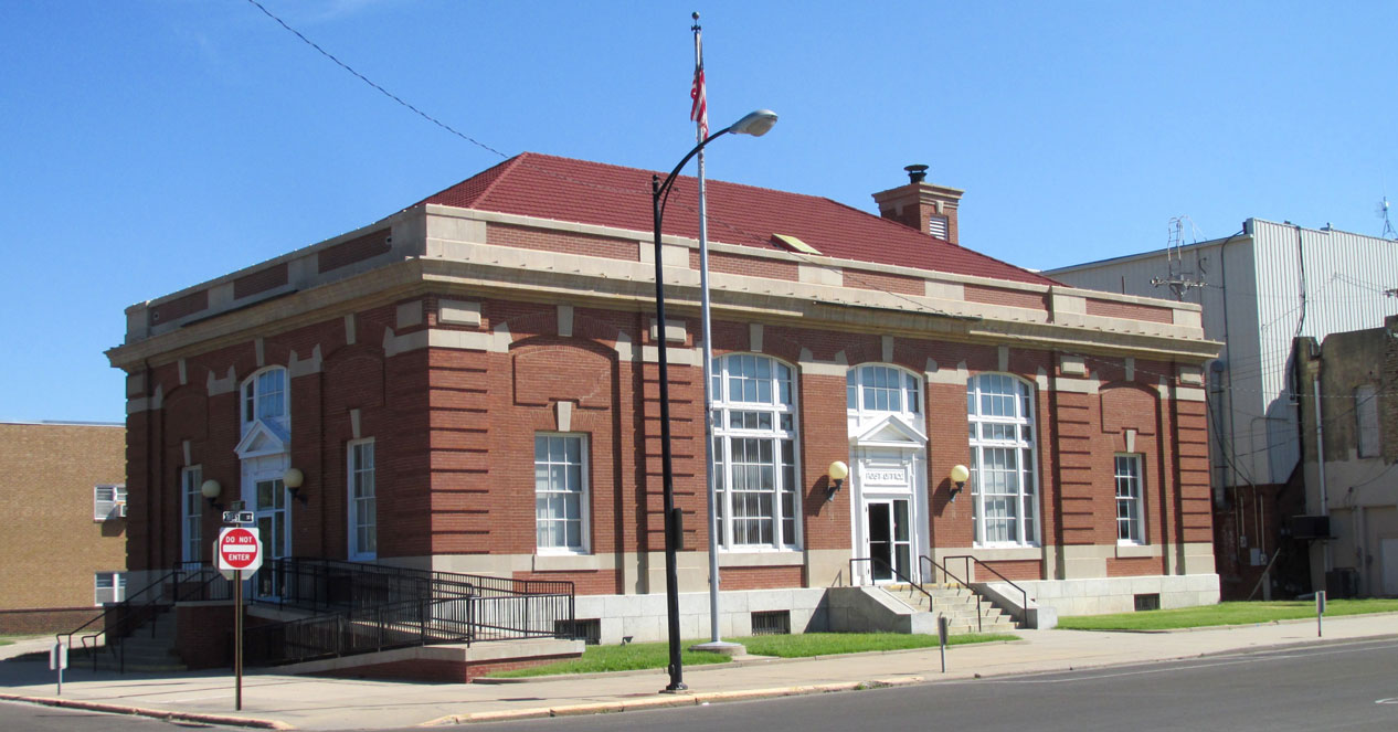
Iola Post Office
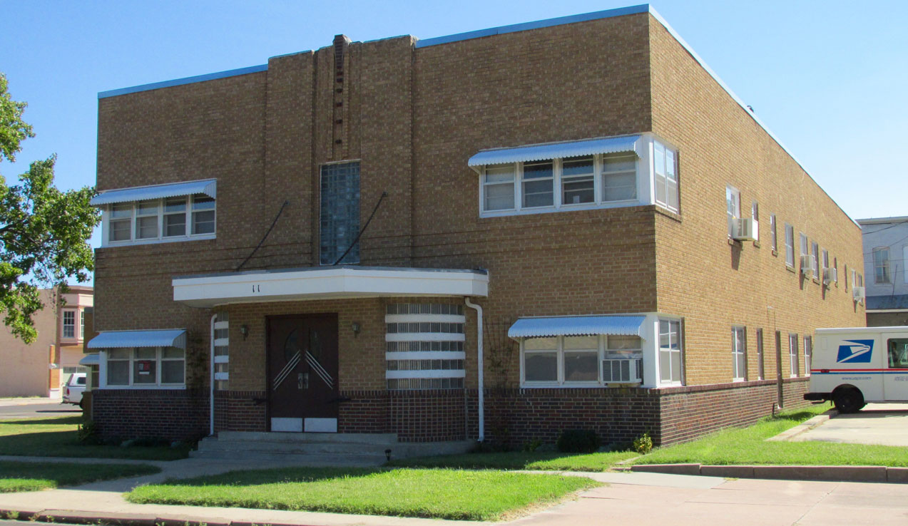
Next to the Post Office is this attractive art deco apartment building.
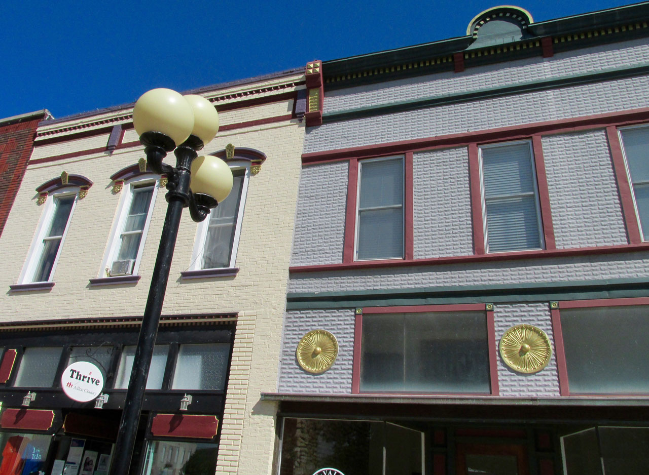
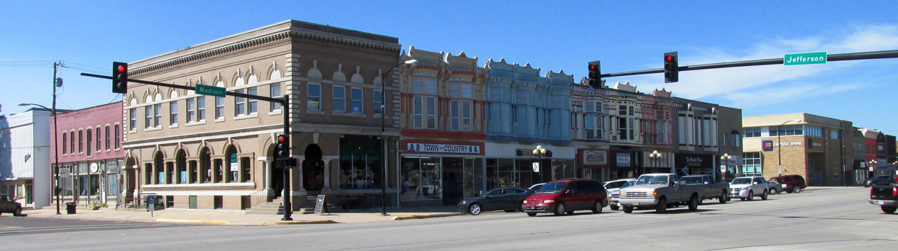
The Town Square
This next series of photos was taken around The Town Square at the center of which is The Allen County Courthouse and The Law Enforcement Center.

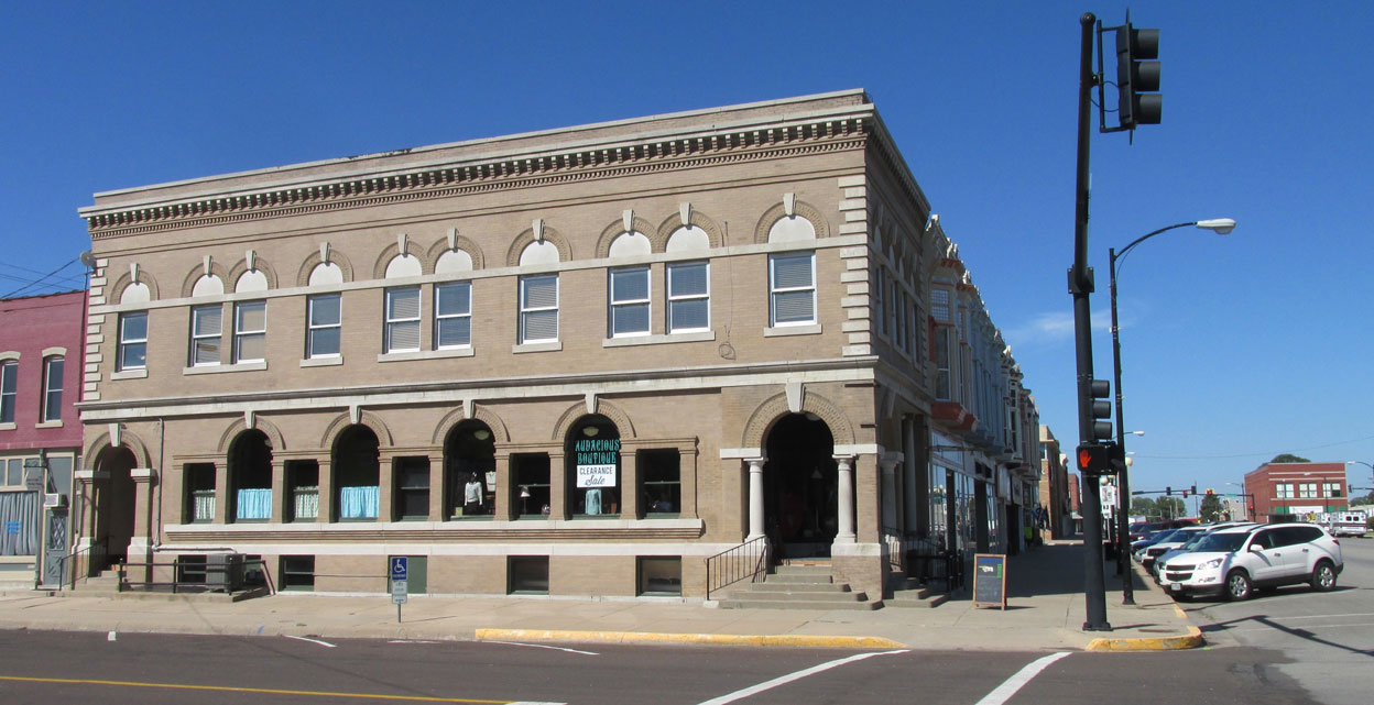
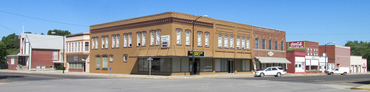
A block of hundred year old buildings beautifully kept.
Another block of fine architecture complete with a classic CocaCola mural.
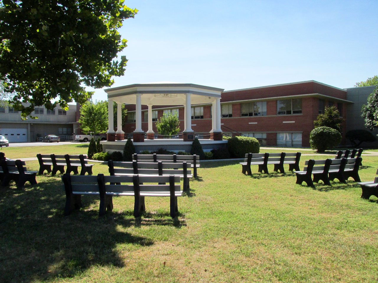
A plaque states that in 2001 this bandstand was presented to the Iola Municipal Band in recognition for 130 years of consecutive service to the community.
Nice detail work.
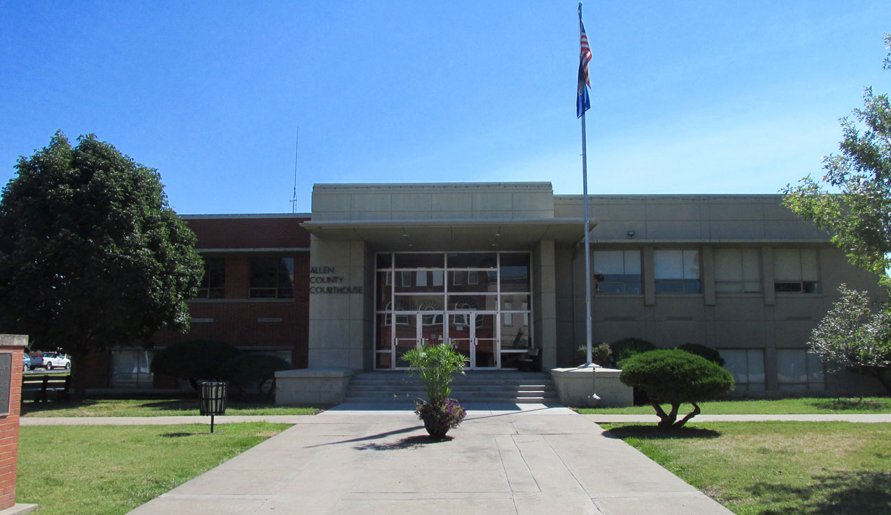
The Allen County Courthouse – a primary reason the first citizens of Iola fought to be the county seat.
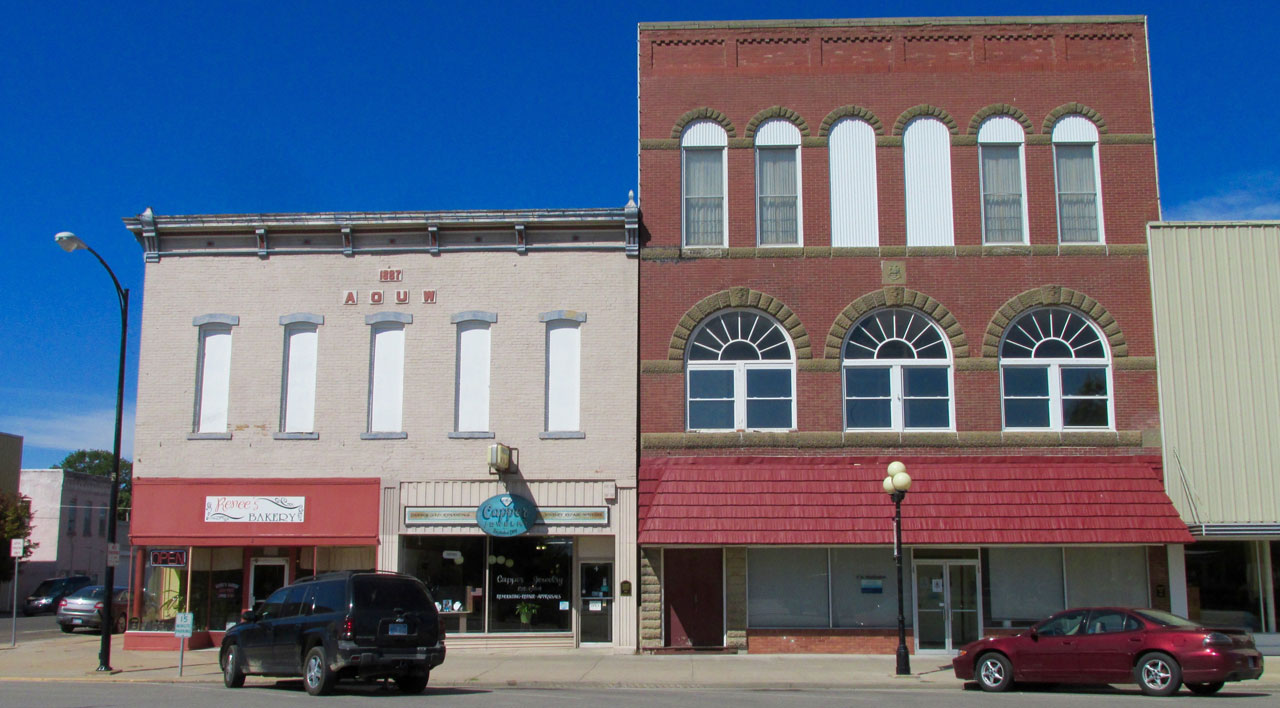
Renee’s Bakery resides in a building built in 1887.
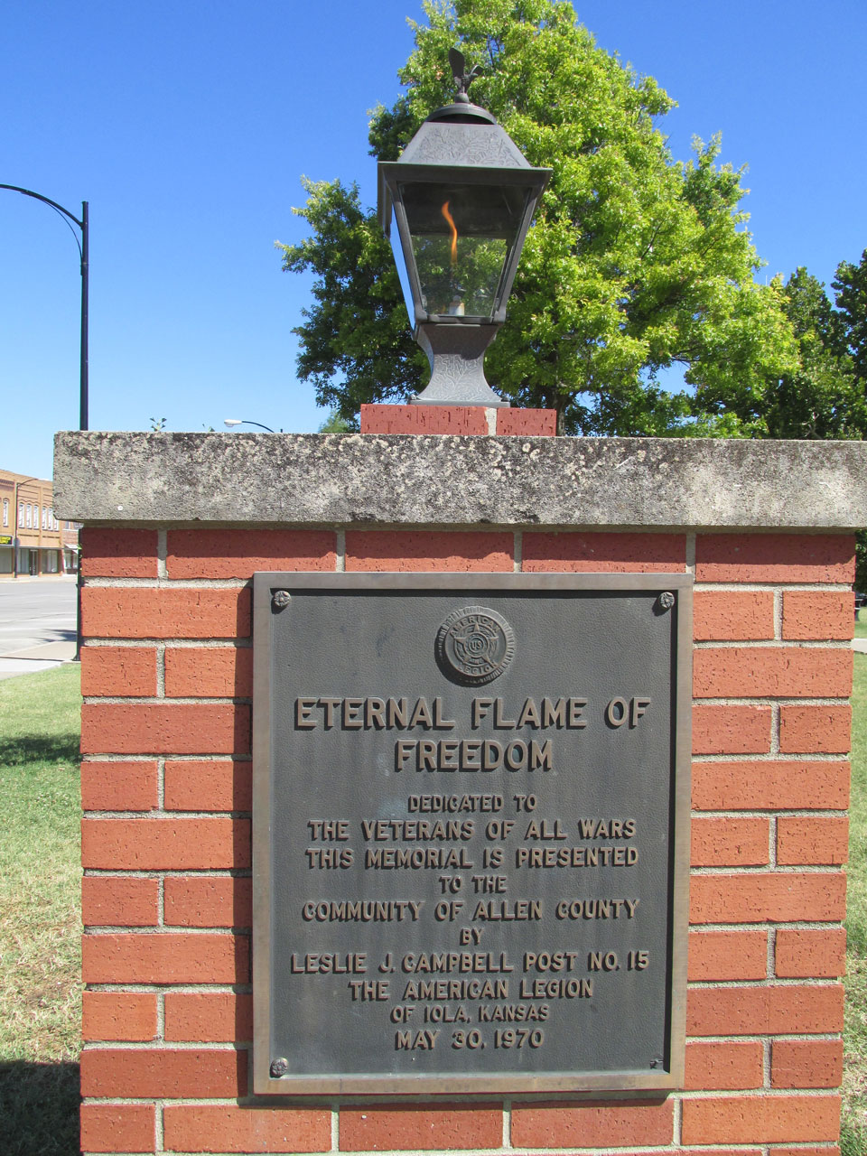
This flame has been established in front of The Courthouse.
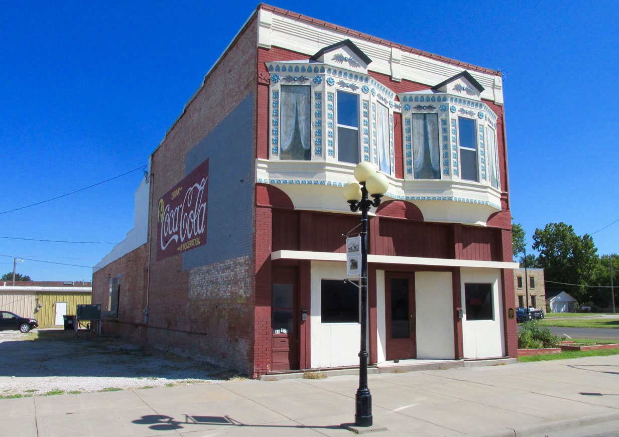
Yet another Coke mural decorating a building complete with fantastic filigree.
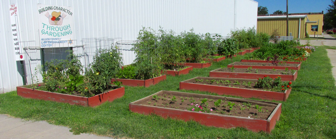
I’m just guessing but it looks like people get an opportunity to work these gardens in lieu of jail time. Community Service.
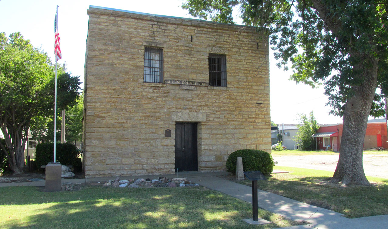
Built in 1887, this is the historic Allen County Jail. Typical of containment facilities of the era, it has many Wild West Stories to tell.
Another tribute to the expert painters found in these parts.
I like the “triple orb” streetlights. Underneath some of them are plaques commemorating notable citizens of yesteryear. This one regards John Walter Scott who left this mortal coil on the first day of 1899.
The corner of Jefferson and Madison.
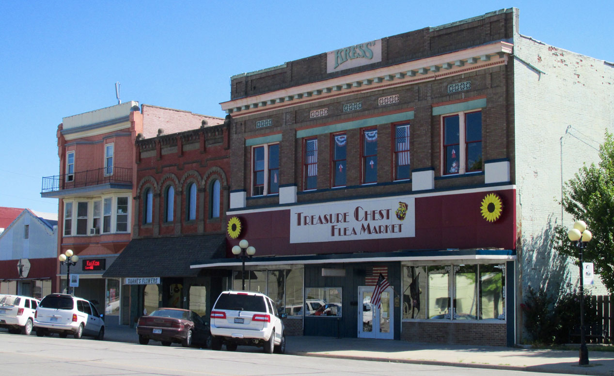
The old Kress Building is now The Treasure Chest Flea Market.
Saturday Is A Work Day In Iola
I walked over to Ron Goodman as he took a break from mowing and commenced to converse. Ron told me he works for Slife Lawn Service who has the contract for all the county grounds keeping. He also told me there are tunnels under many of the buildings around The Square. I have visited other Kansas towns that also had tunnels under their buildings. Iola’s were closed that day but one of these Safaris I will get a chance to see what prairie town tunnels are like.
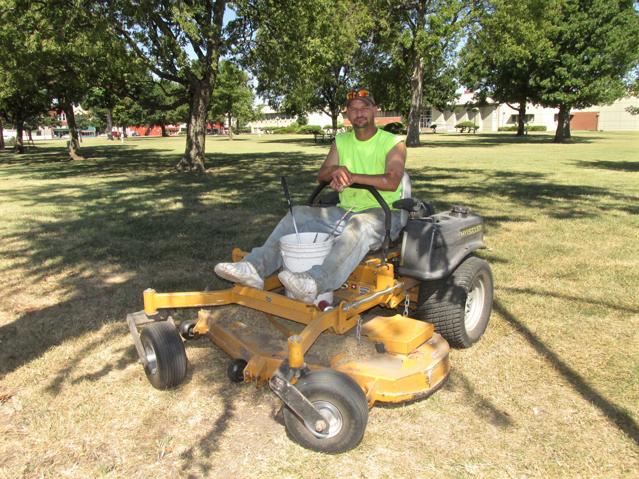
Ron Goodman
The Dentist
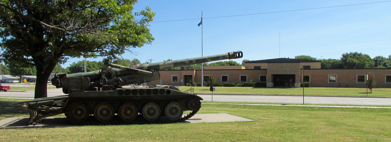
As I circled above before landing, I showed you The Guard Armory from the air. Here is a tracked artillery piece parked across the street.
Time To Eat
I dropped into B&B Cafe for what I thought would be a quick bite. The place was hopping and all the tables were full. I ordered lunch and they brought out a huge meal. It was very good but way more than I generally eat. The waitress asked if I wanted to take the leftovers with me in a box but I had to politely decline. There is just no room for baggage of that nature on my plane. She asked if I was on a motorcycle but when I explained my “ride”, she was quite intrigued. Of course, she is now in possession of a Sky Surfer Calling Card and Writing Pen. Maybe she looked at my website.
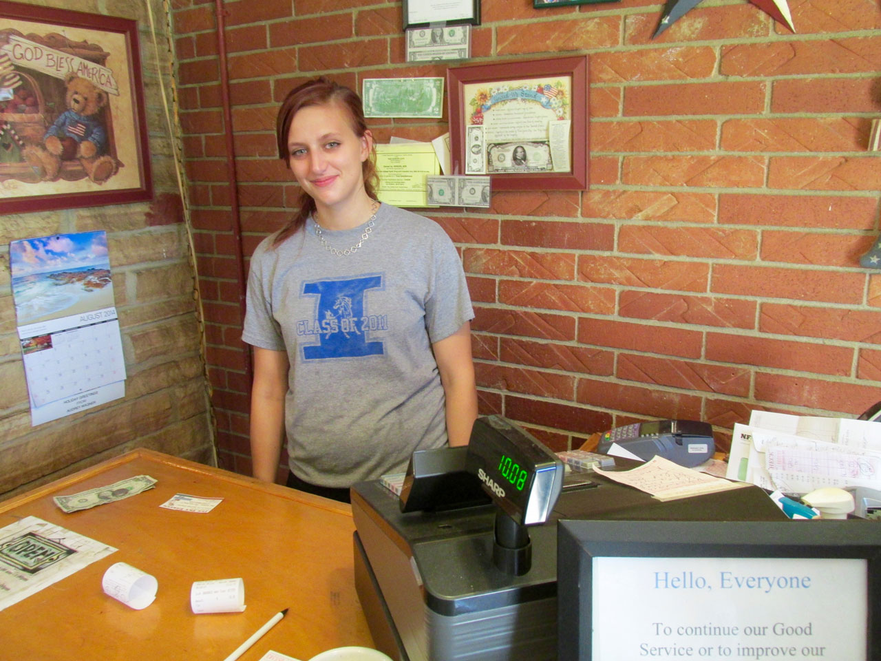
Alexis Laird of B&B Cafe. She is the Daughter-In-Law of the owner.
Iola Civil War Memorial
I had been told to look for the War Memorial by Ron Goodman earlier but had not yet seen any signs pointing it out. I asked Alexis how to find it, and excellently, it was nearby. As soon as I left the restaurant I made a beeline to it.
The Soldier State
Research on the web informed me that Kansas was called The Soldier State because so many soldiers settled here after The Civil War. There is a superb website dedicated to the monuments and memorials of The G.A.R. HERE. My study has been primarily World War II so I didn’t immediately recognize the acronym. It stands for The Grand Army of the Republic. I had seen GAR stars in the cemetery of Attica, Kansas when I Safaried there. That story has some very interesting elements you might like to see and read about.
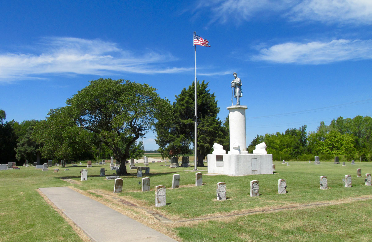
This monument was erected in 1908 by the McCook Post 51 of the GAR.
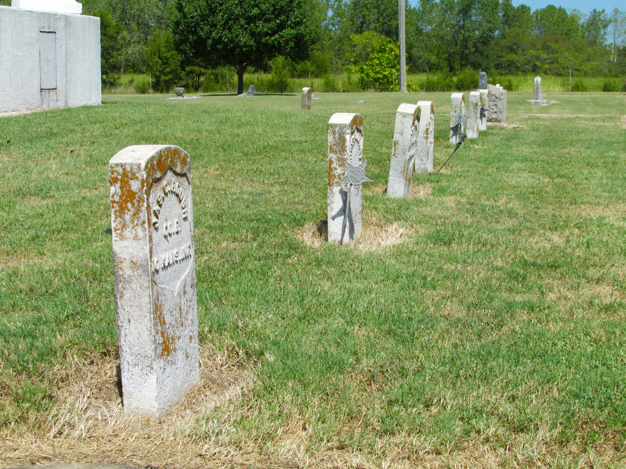
This plot contains the remains of many Civil War Soldiers and is kept in fine condition.
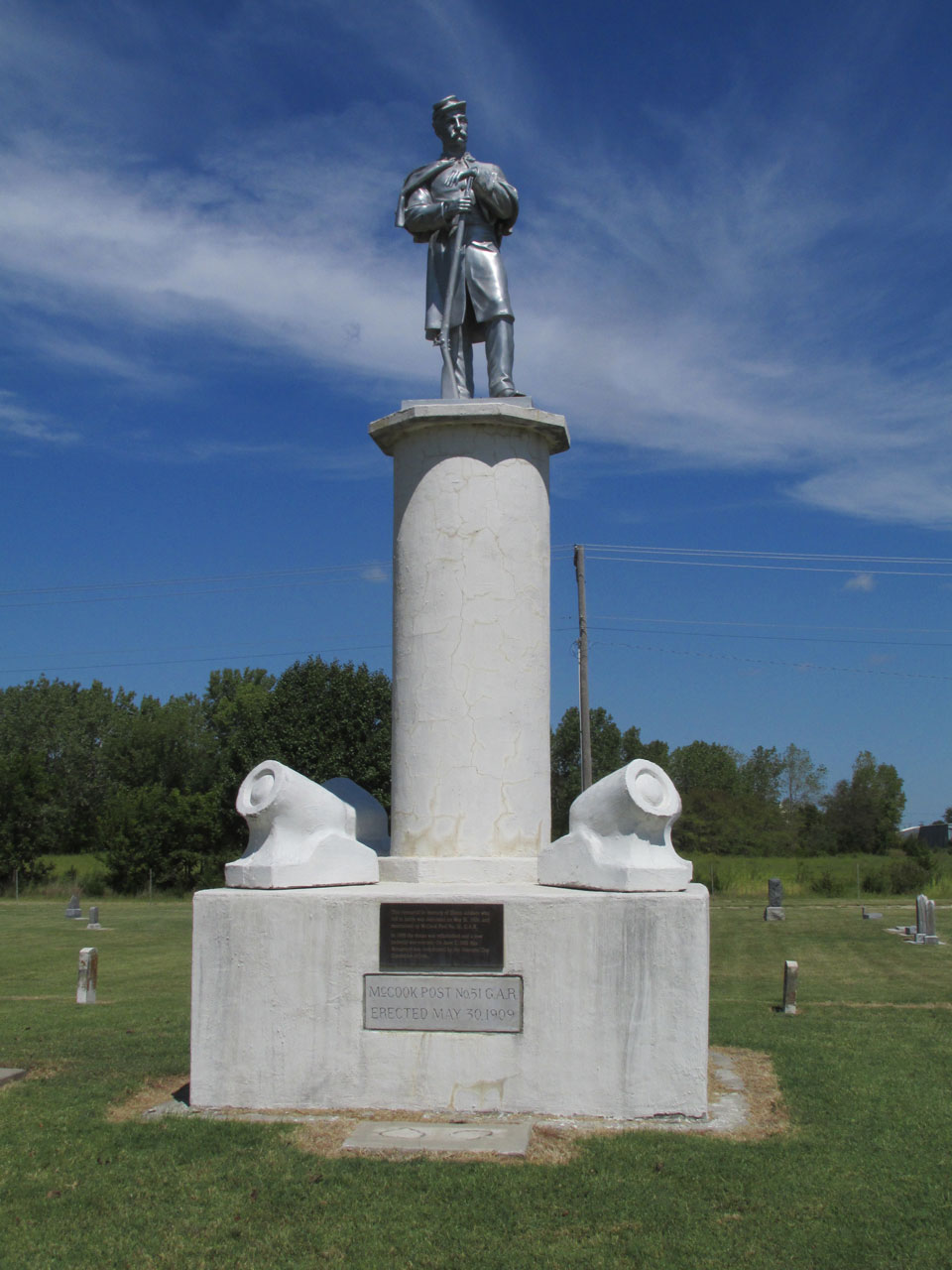
The statue is protected by a battery of mortars.
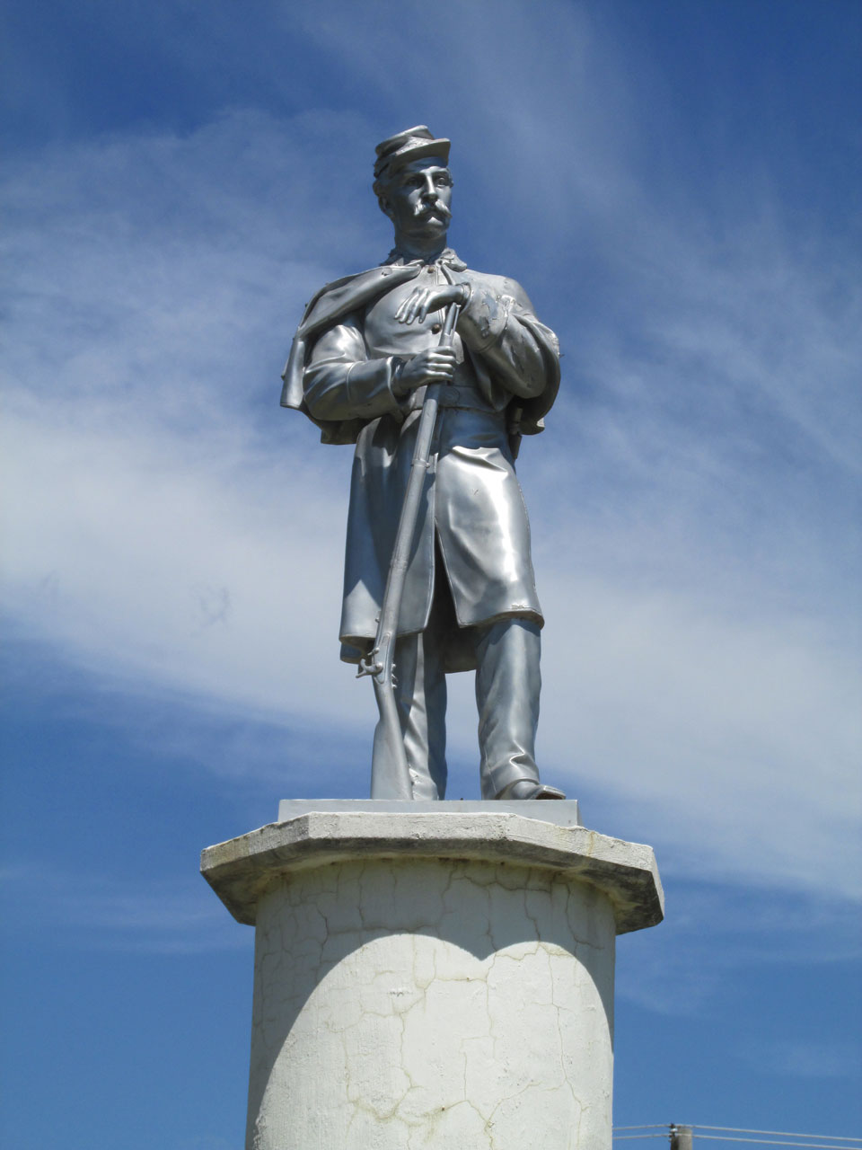
The “unknown soldier” depicted here strikes me as quietly heroic.
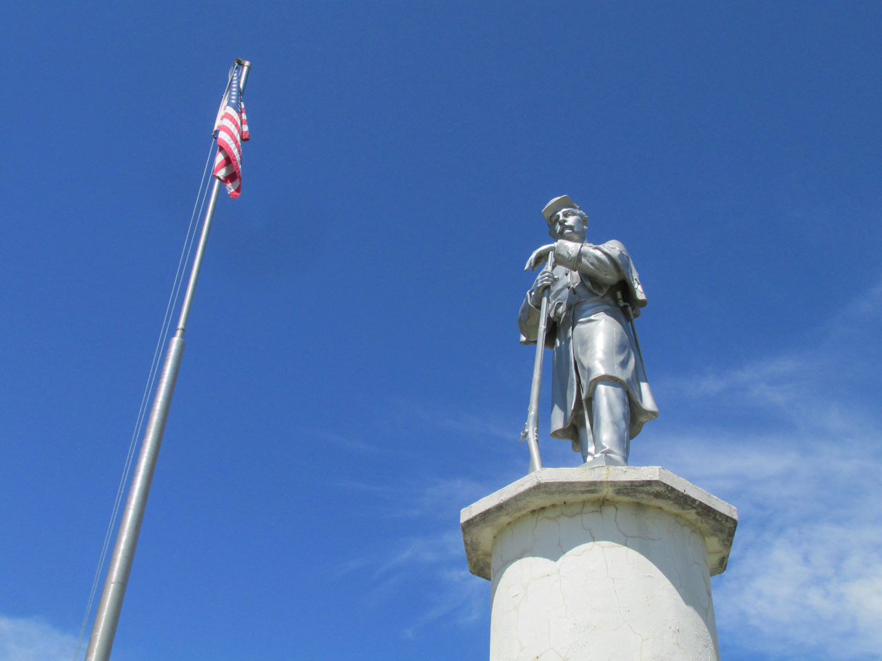
The soldier and the flag representing The Union he fought to preserve.
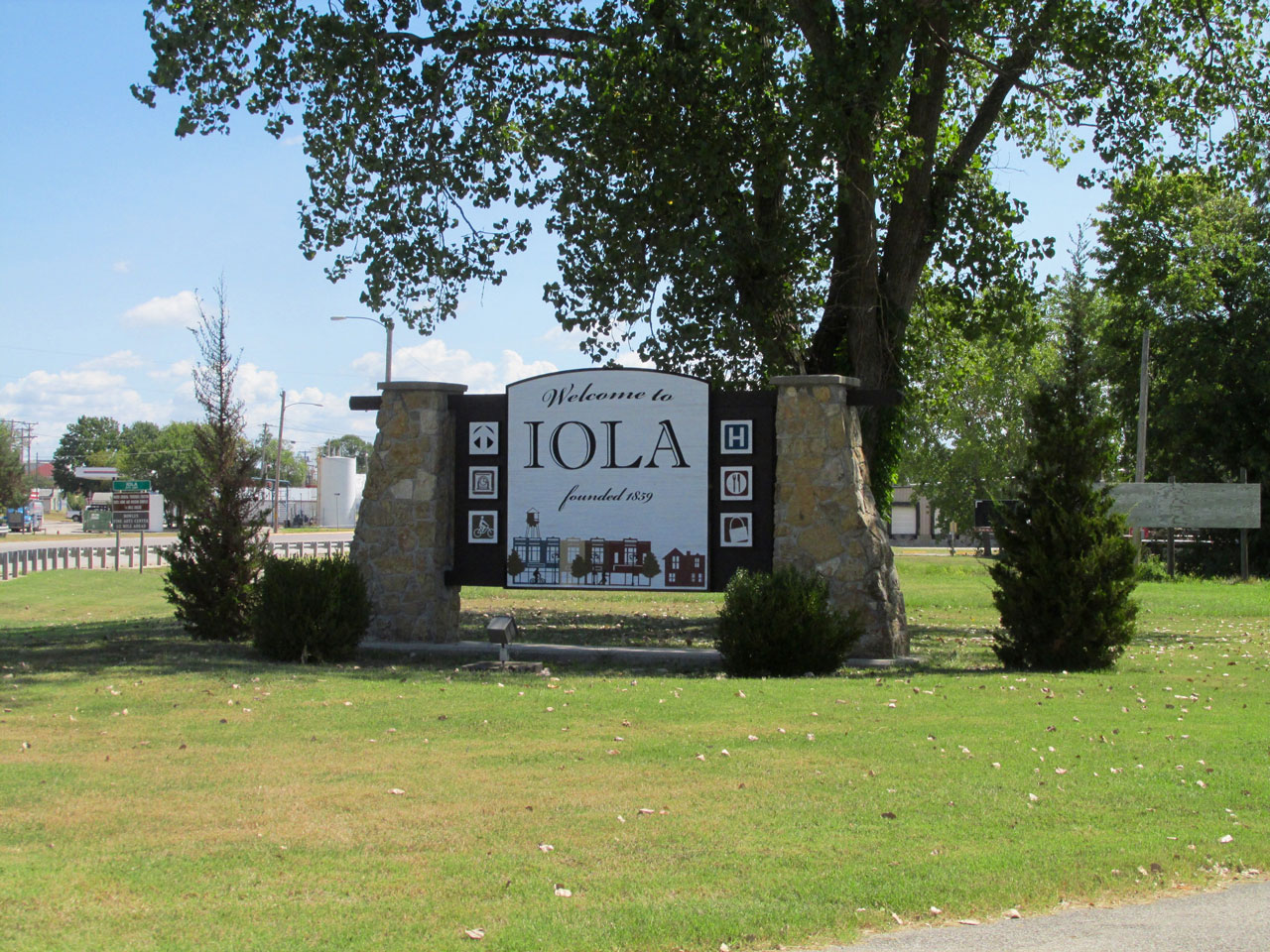
A Surfer Re-Entry
Because the War Memorial is just outside of the West Side of town on Highway 54, as I re-entered Iola and I saw the welcome sign below.
Iola Colborn’s Town
I see a lot of these stars adorn many small town homes throughout Kansas and Oklahoma. I like ’em.
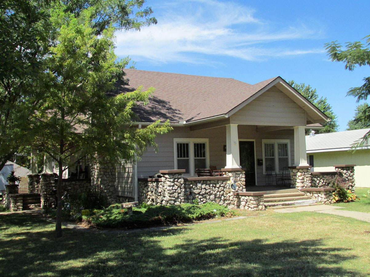
Stones there are here no shortage of and the builder of this home put them to good use.
It’s nice to have trees surround your house.
Don’t miss the artwork in the upstairs window…
This is The Lattice Work House. How about those upstairs windows!
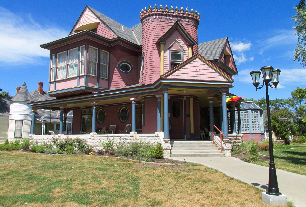
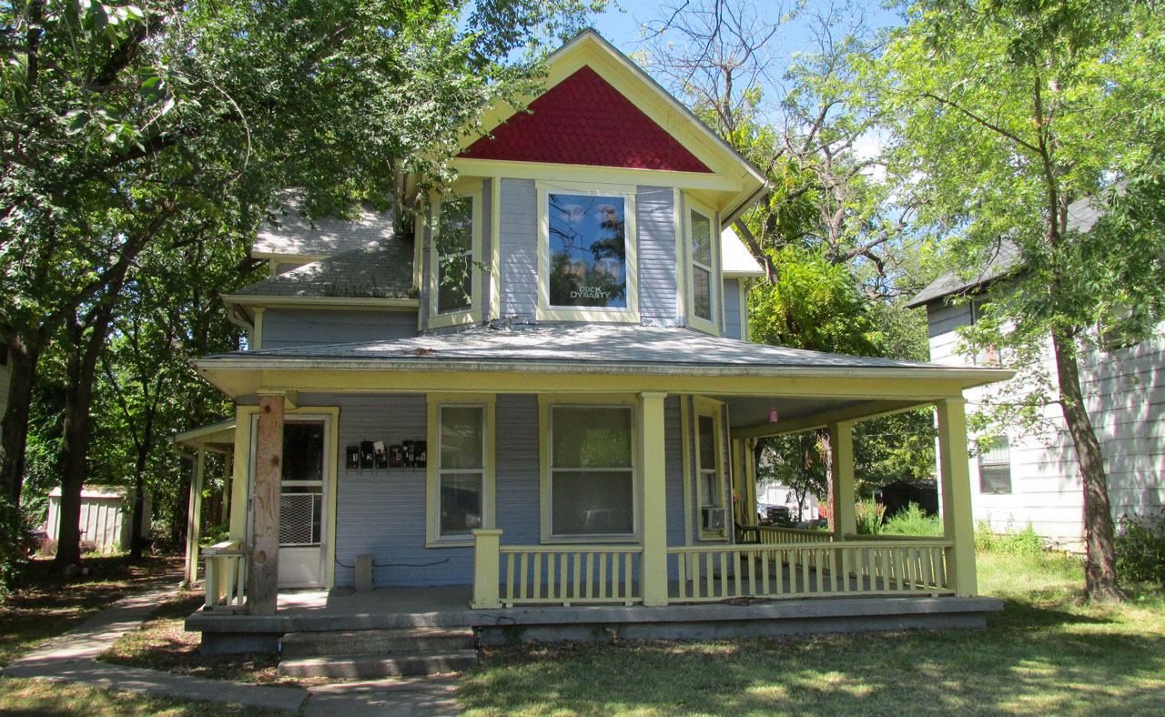
A Pink Castle
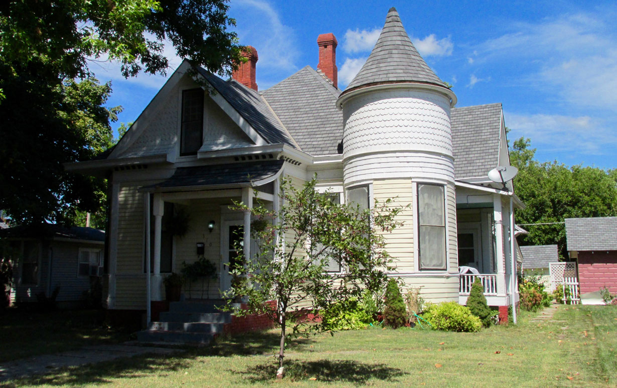
“Turret Homes” always get The Sky Surfer’s attention.
Hot And Humid (And Far)
Iola is 107 miles from my home field. While it is not the farthest Safari I have made, it is pretty close to that record (117 miles to date). After “whirlwind touring” this treasure trove of architectural and historical delights, it was time to hitch up and blow out of Iola.
As it would happen, I would make another landing on the return journey, meet more folks and see some interesting motive objects of historical import…
Just after liftoff I took this shot of the business end of Allen County Municipal under my right wing and then caught the wave to Wichita.
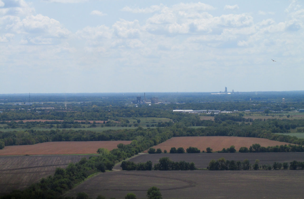
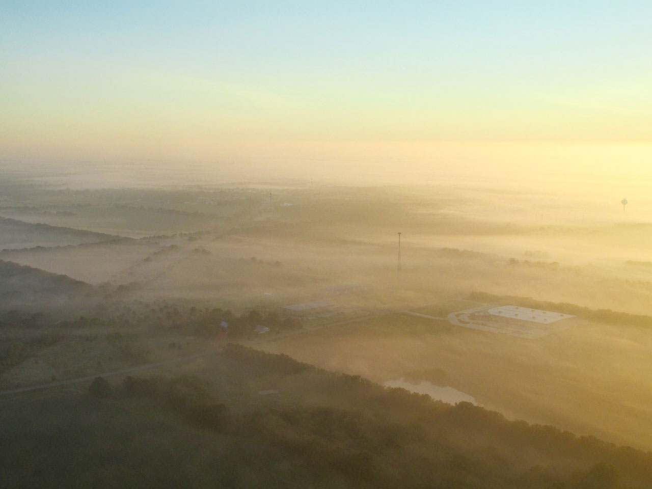
As I left the airport pattern heading Southwest, I took a telephoto shot of these installations to the South. I suppose they are Humbolt, Kansas (closer) and then Chanute, Kansas farther off in the distance. Chanute has an airport so The Sky Surfer will be sailing there before too long.
About a 1/2 mile off my path to the North I saw these guys harvesting some silage.
I love scenes like this. I am at 300′ looking Southwest out in The Flint Hills of Kansas.
Lake Fegan
The Same But Different
Because I stick pretty close to my course line to and from a destination, I will often cross over the same areas or objects. It’s a judgment call whether to take pictures both times. If I think the lighting is better or there is less haze or something new is revealed I will include shots from both directions. I think the shots in this next series passed on all three accounts.

On the way to Iola, I saw this interesting islet accompanied by egrets. It is definitely better seen from this angle.
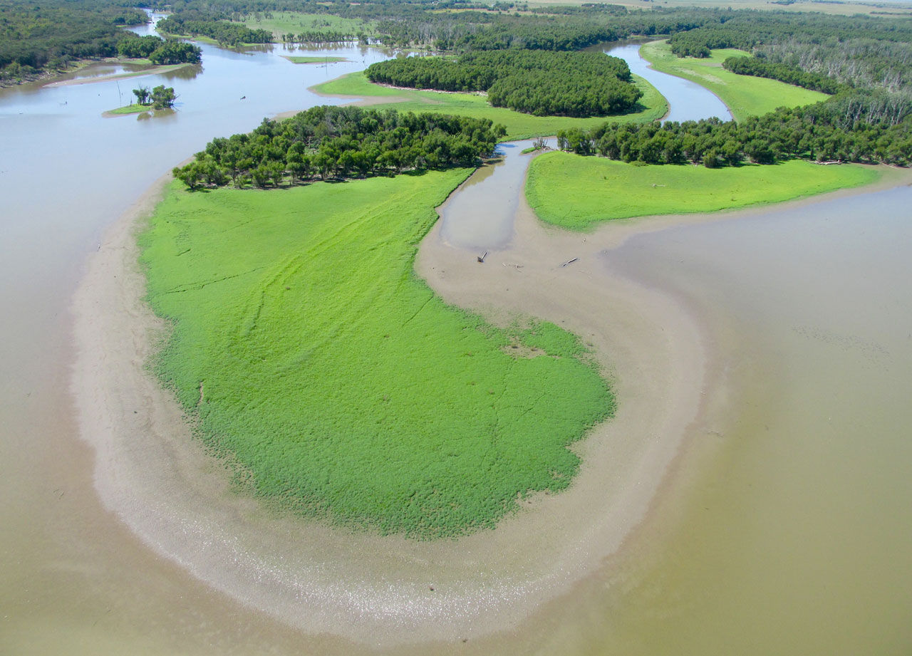
It reminds me of The Florida Everglades.
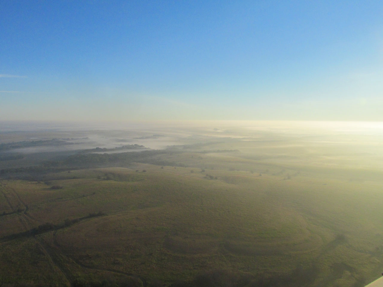
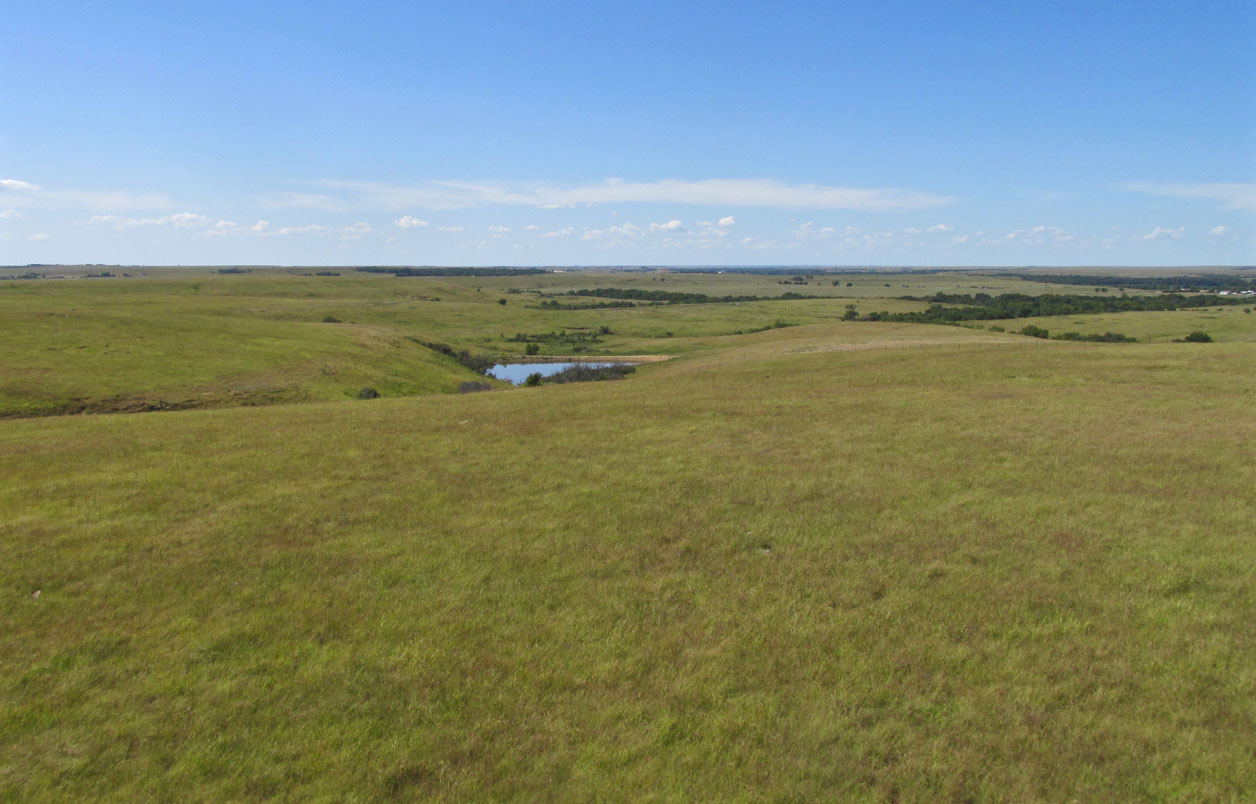
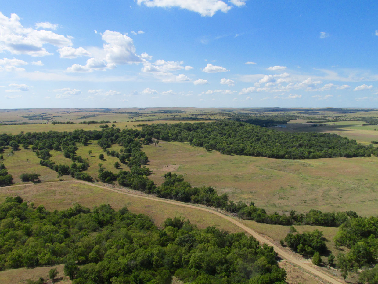
The Flint Hills
One of my all time favorite movies was actually a TV series called “Lonesome Dove“ featuring one of my top 10 all time favorite movie actors – Robert Duvall. That series and most of The Great Western Movies used dramatic panoramic shots to give sense of the great open spaces of The Wide Open West. Being out here by myself gives me an inkling of what it was like to be first to enter these places in the 1800’s.
Looking Southwest from 150′ AGL
Flight Level 30 – Southwest Again
If you envision that large shadow ahead moving slowly left to right you will get a better feel for this place. The grass is gently waving, too.
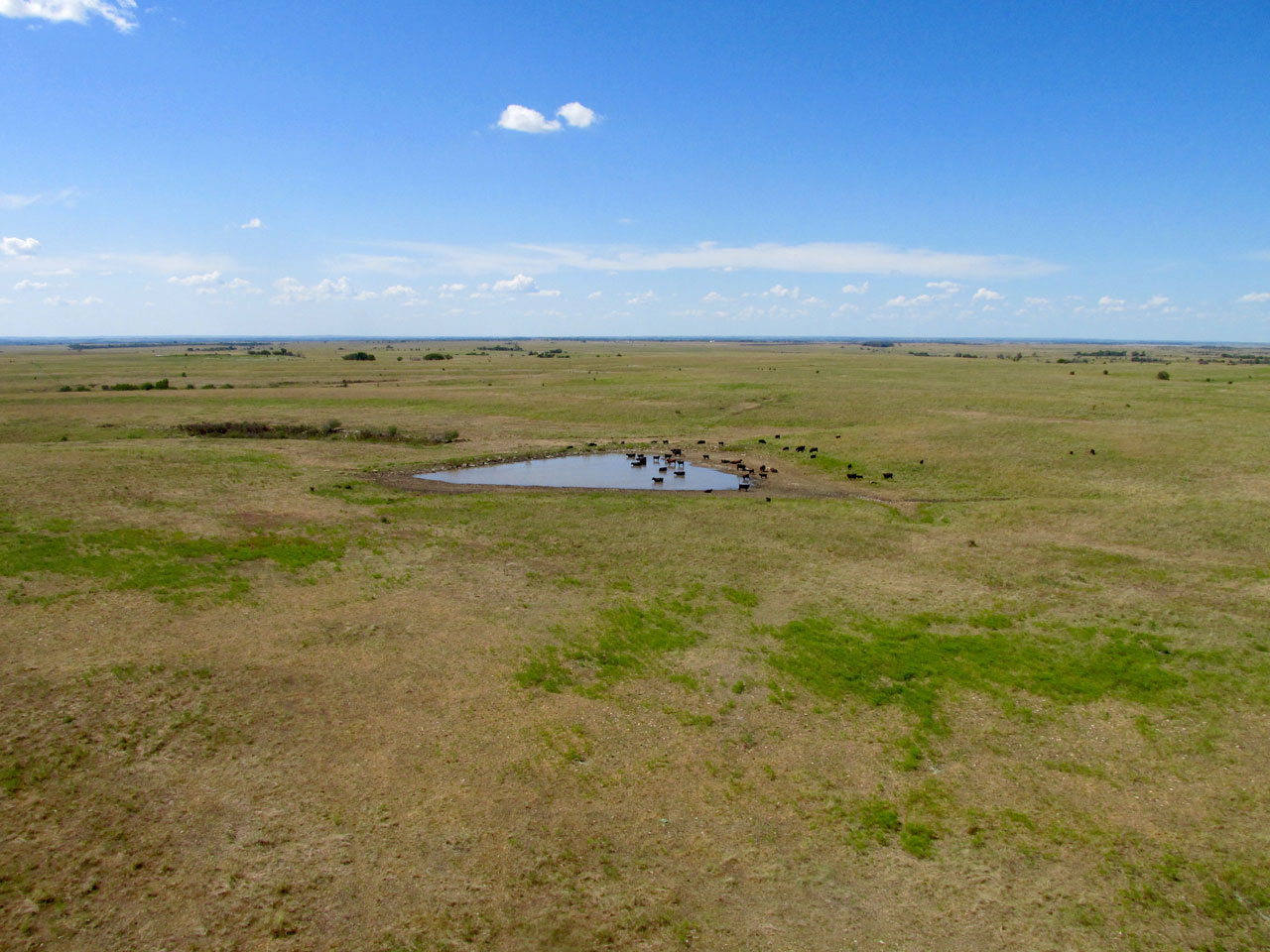
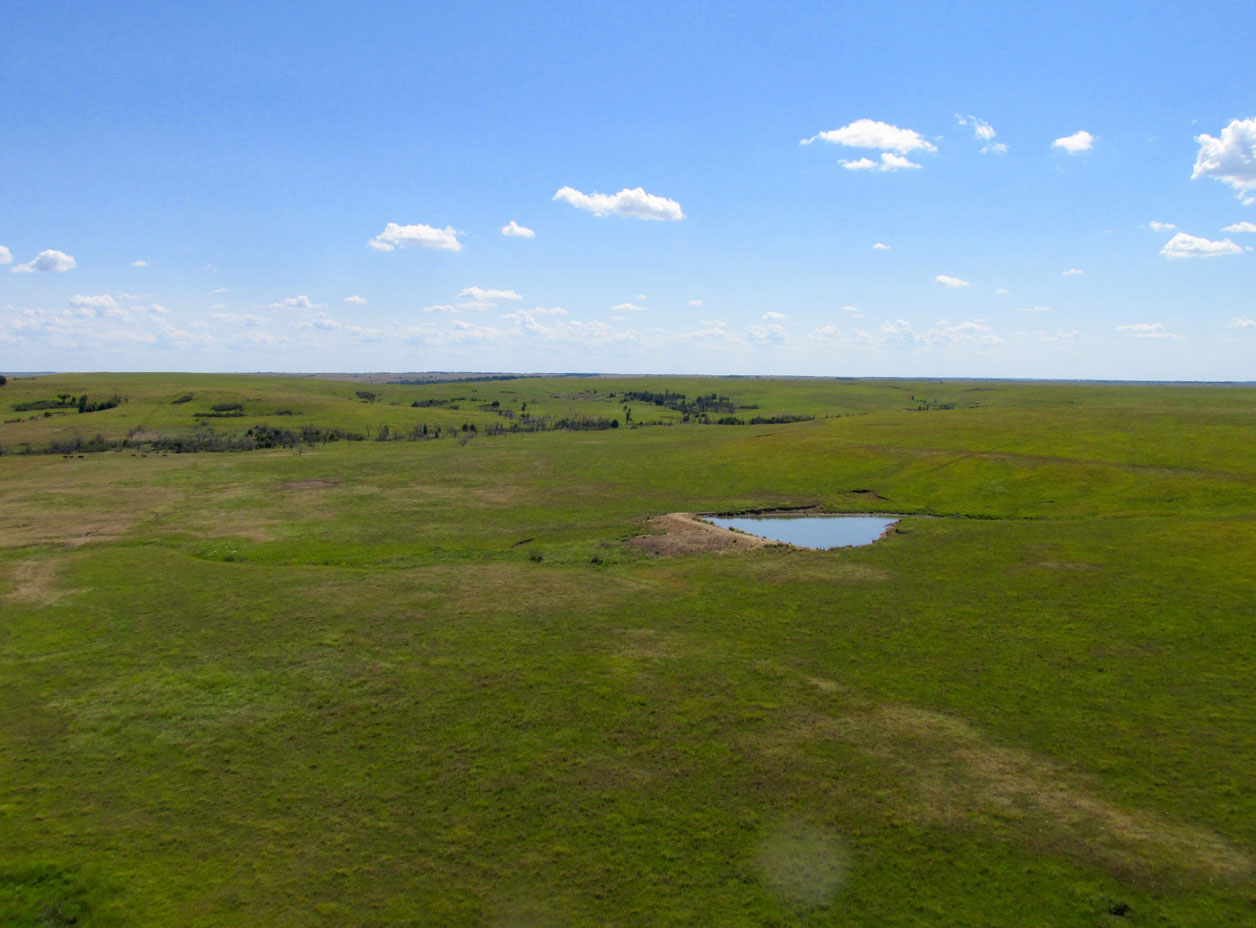
This cattle pond was in my line of travel so I banked a few degrees to the left and passed them about 10 yards from the water. That’s about all it takes to keep them from getting nervous. They just watched me go by.
A little farther along I pass over some red cedars. I like to turn the motor a little slower but 4510 rpm is pretty good for fuel economy.
The jeep trail ahead was the only road in this area for miles.
An Interesting Sequence
Even though some might think The Plains are all the same, these next two shots give you some idea how quickly things can change out here. I was skimming along at about 50′ AGL when I came upon the area shown below with all the trees. It was in a low area just after climbing a slow rise. I don’t like to fly low over forests because they do not allow for landing in case of an engine failure. I climbed to get some altitude…
A low area with a lot of trees.
Then, quite unexpectedly, this strange site below appears…
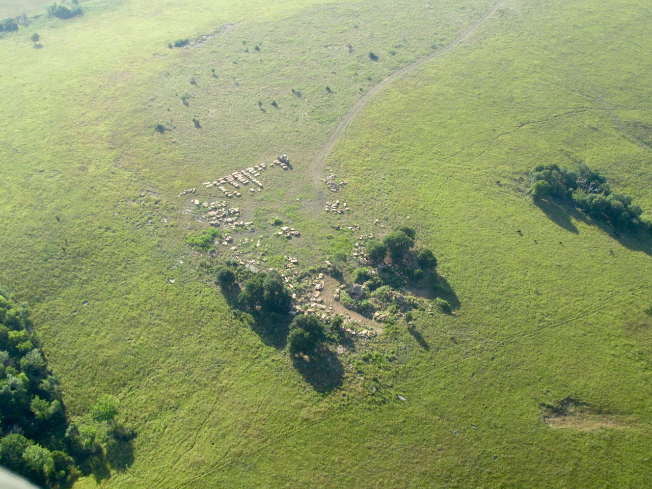
I was flying under a headwind to conserve fuel. When I saw the strange “white hill” in the next shot it was all I could do to fire up the camera and grab a shot under my right wing. I don’t like having a wing cable in the shot but that’s the best I could do because I didn’t want to use up gas circling around for another look. I think it is tailings from a dig. As I am writing this I checked a satellite photo and the area does appear to be an open pit mining enterprise of some type. I did not discover what type of resource they were digging up.
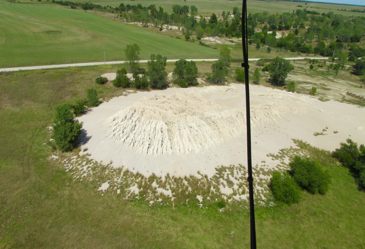
Your guess is as good as mine.

I pretty much couldn’t take a bad picture out here.
As I said earlier, I was flying low to mitigate a headwind. Then I had to add power to make it up this hill. In this shot I’m about 6′ AGL in the ground effect.
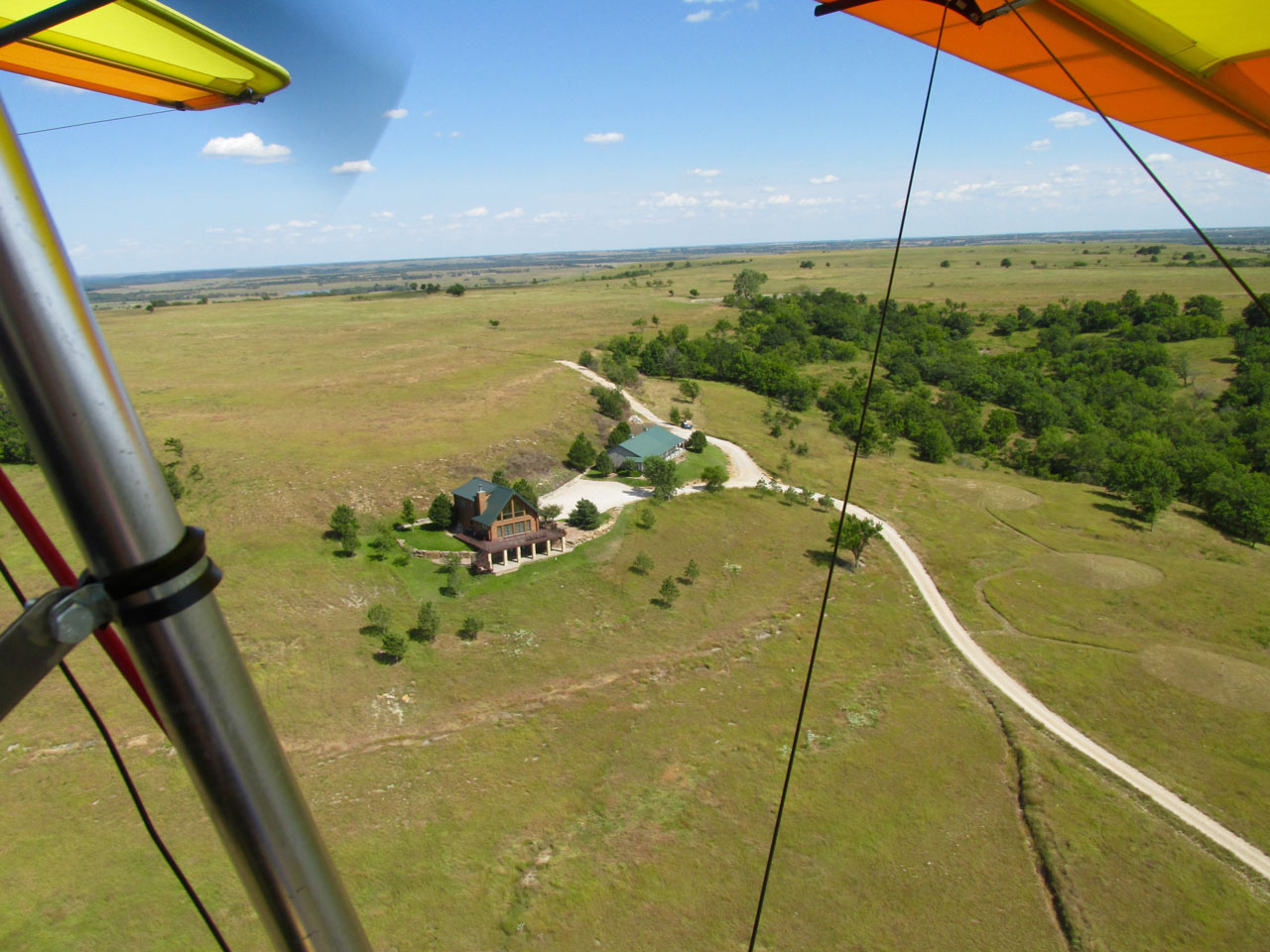
At the crest of the hill on the opposite side was a Hunting Lodge I have seen before on a trip to Cottonwood Falls a few years prior. Not wanting to waste gas I took this quick shot through the space behind my Left Wing.
Headwind Realities
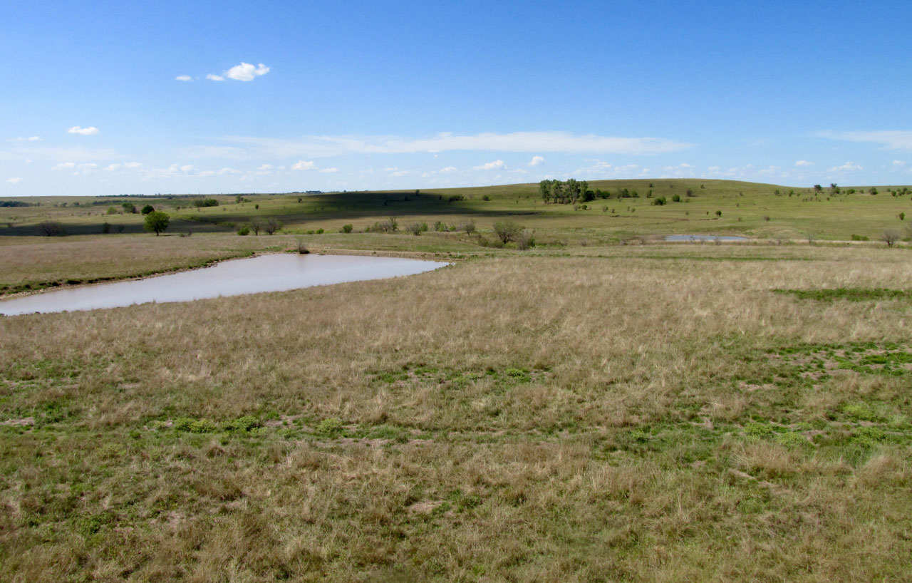
My flight profile is not about speed or time per se, but The Trip – The Process. If I was interested in traveling from Point A to Point B in a hurry I would choose a different conveyance for sure. Ultralight Flying is not about speed. It does fall under the laws of physics, though, and a headwind can run you out of gas before you get to Point B. As I approached Beaumont, Kansas I decided my fuel level was a bit lower than I needed to reach Blue Sky Aerodrome. I landed to put some more gas in the tank.
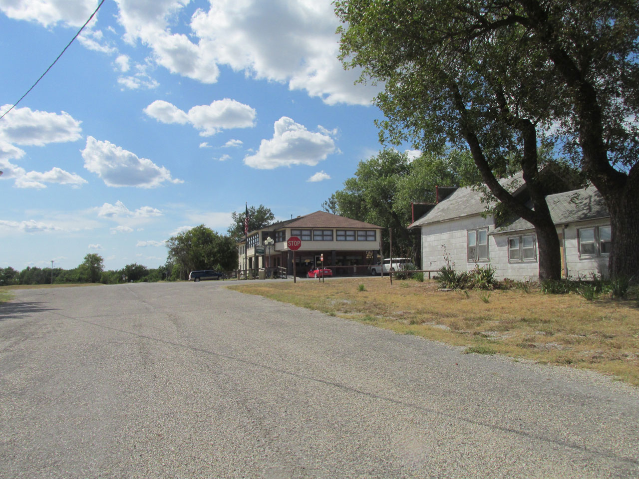
Beaumont Hotel and Restaurant is unique in that you can taxi your airplane up to the door. Here is the scene from my cockpit as I approach the stop sign on the road from the airfield.
Always Interesting
There is never a dull moment when stopping at Beaumont. The food is good, there are signed photographs throughout the Hotel featuring “notable world aviators” who have visited it, and there are always folks interested in airplanes that want to see what you flew in. On this trip, before I shut down the motor, Steve Nielsen had walked over to say “Hi” and check out the Quicksilver. Steve works for the school district in Wichita and was out with his buddies riding their classic motorcycles. They had stopped in Beaumont before heading into the backroads of The Flint Hills.
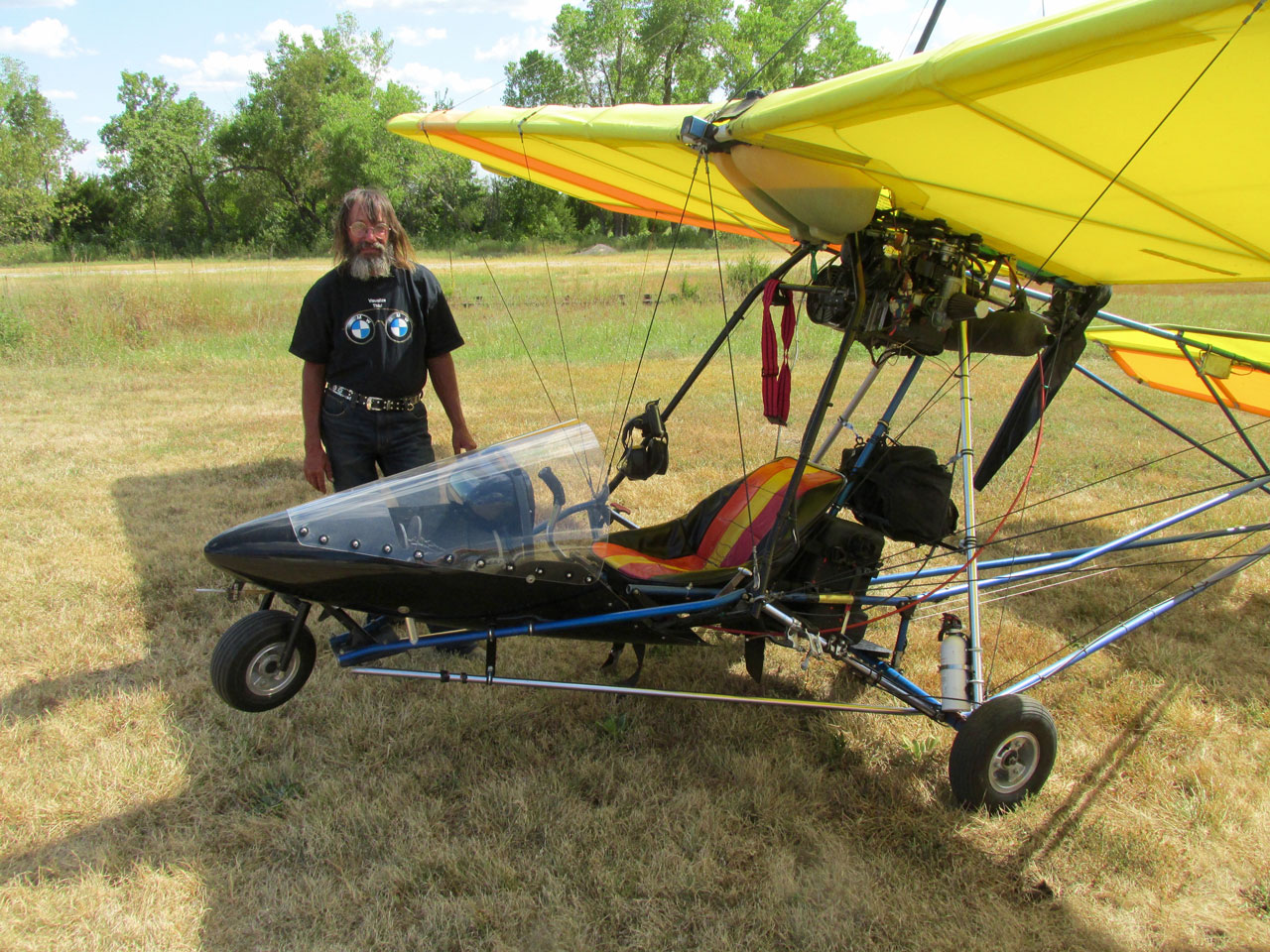
Steve Nielsen & The Sky Surfer’s Ride
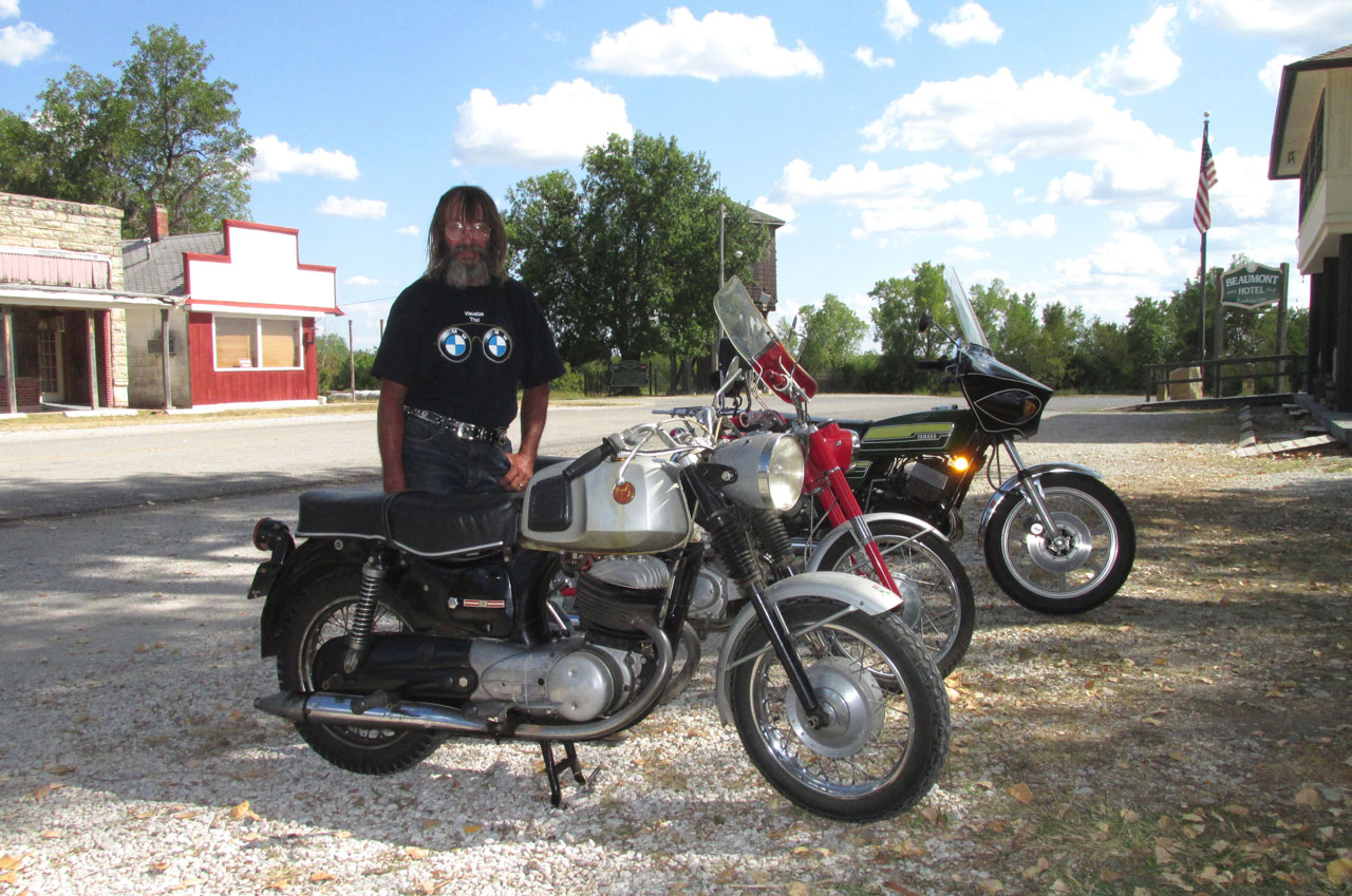
A 1967 Sears 250, a 1965 Honda CB150 and a 1976 Yamaha RD400
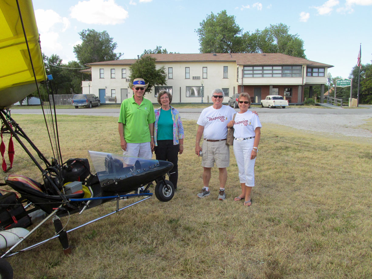
As you can see, by now I had filled up the gas tank. Pete and Ruth Derringer Dueringer of Andover, Kansas and their friends Ron Moore and Sonja Shrum of Derby, Kansas were out in a Classic Chevy touring the countryside. They came over to see what I was doing so naturally I regaled them on all aspects of The Sky Surfing credo and mission.
Eagle Eye Award: Reader Chris Pile of Wichita, KS. wrote “
Have enjoyed your blog for quite some time, and just spotted your most recent entry. Must correct you – it’s Pete & Ruth Dueringer…. members of my car club, the Midway Chapter of the Studebaker Drivers Club.
Thanks so much for your posts and pics!
Back On The High Way
After talking a little while I bid the folks goodbye and continued my track across The Flint Hills.
An attractive farm house in a rich setting.
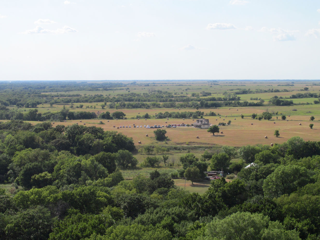
A fair distance Southwest of Beaumont I saw this gathering. I figure it was a Wedding In The Country.
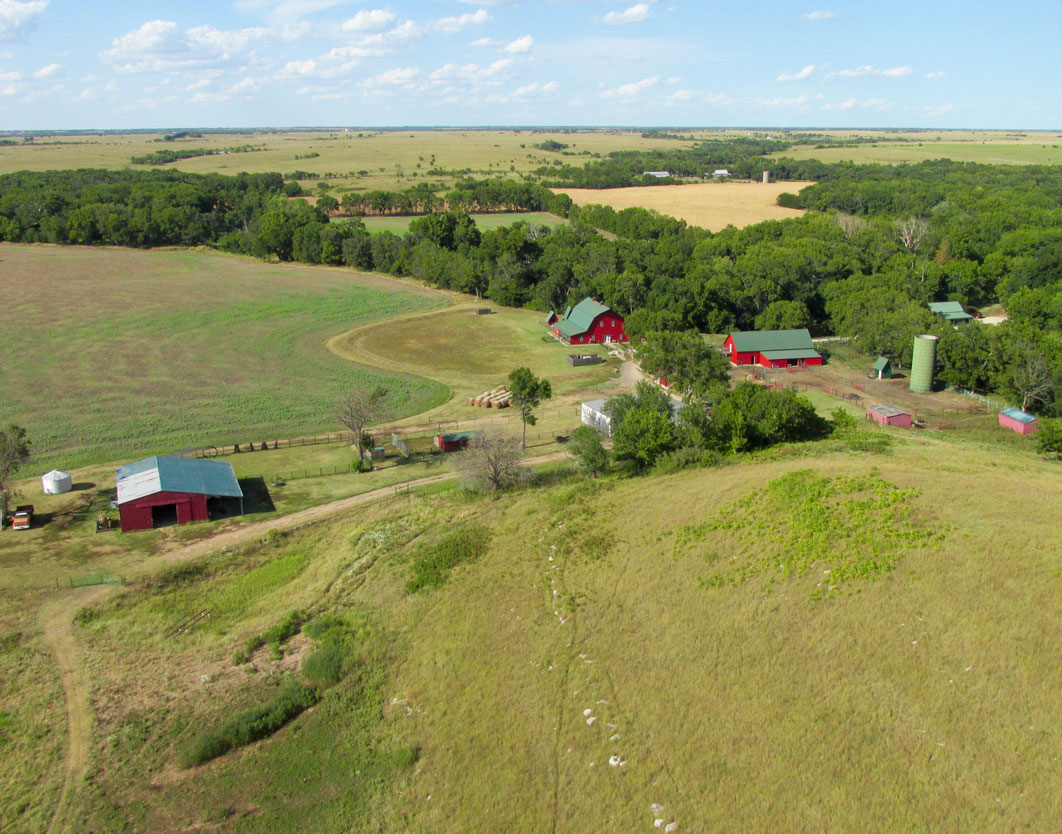
This scene popped up under my right wing. I really like the red and green buildings. This time I made a 180 turn to the right to line up the shot over the plane’s nose. I was no longer worried about gas.
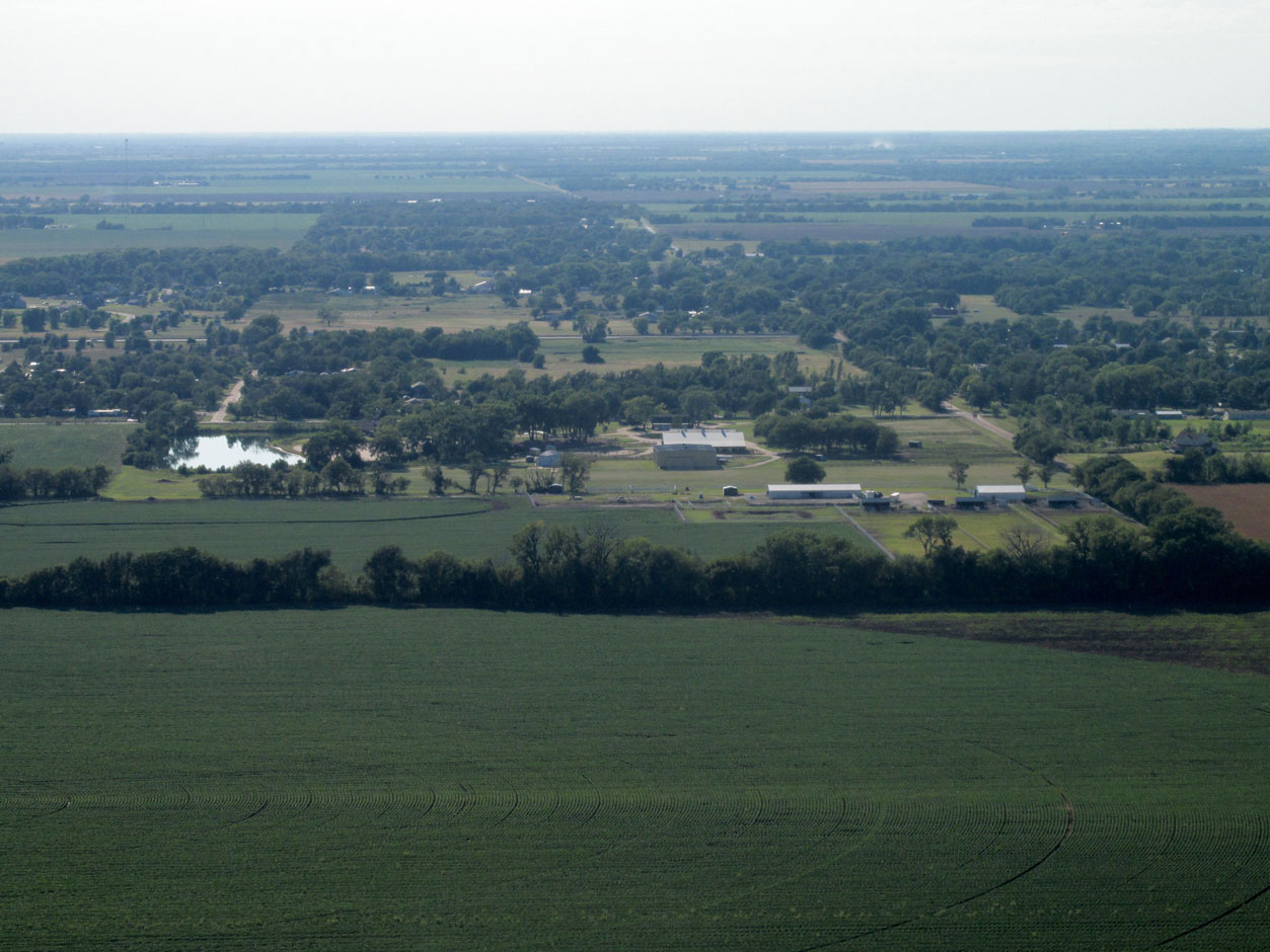
This is near Santa Fe Lake Road Southwest of Augusta, Kansas. I have seen it many times before and figure it is boarding stables.
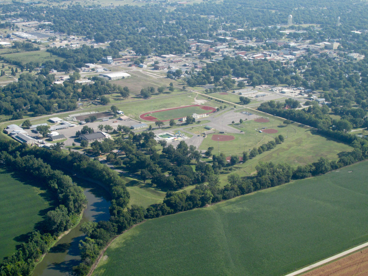
I saw this shot developing to my right as I flew along and I waited for the right moment. That is Rose Hill High School in the center with the Wichita, Kansas Skyline in the distance.
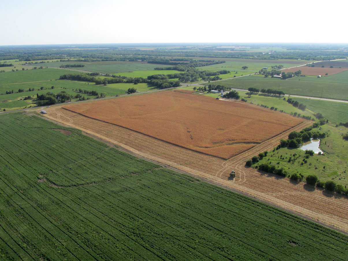
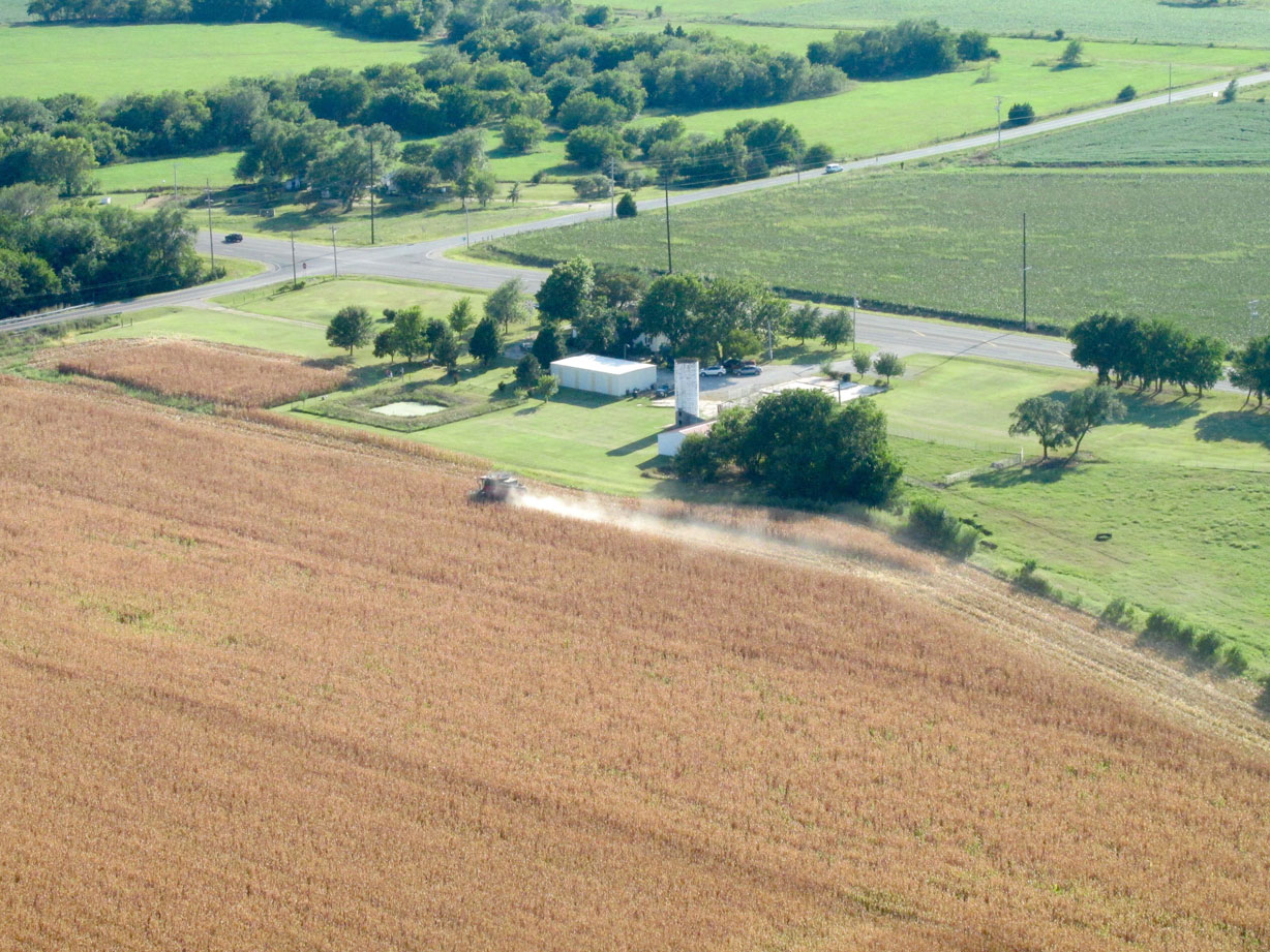
More Milo (aka Sorghum) being harvested.
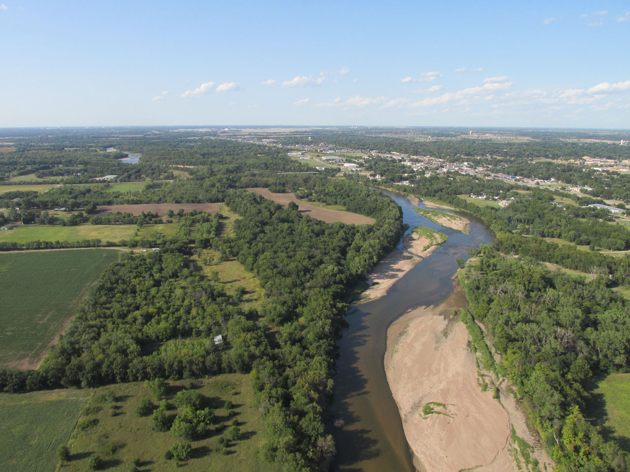
The Arkansas River as it passes West of Derby, Kansas.
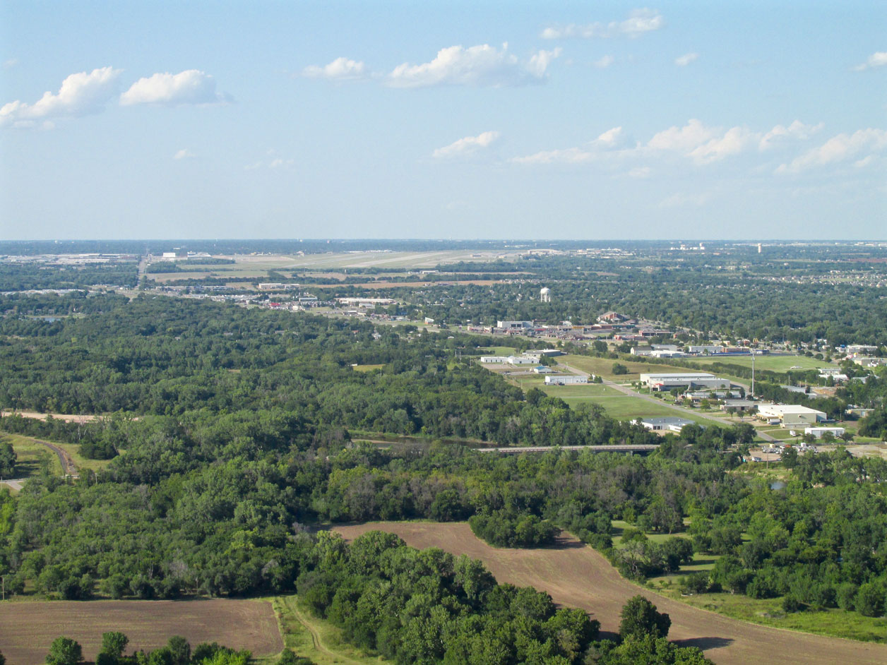
5.5 miles North Northeast of my home field is McConnell Air Force Base which you can see at the center near the horizon. This is looking North from 600′ AGL.
Just after taking the picture of McConnell I utilized the telephoto lens to pick out Blue Sky Ranch and Aerodrome 1.5 miles to the West. My hangar is the building just right of center in the shot with the landing field in front of it.
Never Ceasing
I can say The Great Plains never cease to inspire me. Every flight is different – each town unique. I hope you enjoyed this Sky Safari to Iola.
Blue Skies & Tailwinds!™
Brian FitzGerald – The Sky Surfer