Rules Are Meant To Be Broken
I don’t necessarily subscribe to the above aphorism but since it is used by many, it seemed like a catchy way to start this story.
During the Fun Flying Season, the majority of my flights are on Saturday. I don’t decide where I will fly until Thursday or Friday of the week when the weather for that coming Saturday can be best predicted. As dictated by The Sky Surfer’s “Fun Flight Prevailing Wind Method” (FFPWM), I get up before dawn and fly to a destination up wind of my home field Selby Aerodrome. At sunrise I have found the winds to be negligible near the surface of the earth. I fly to my chosen destination under whatever wind might be aloft. Then after touring the desired location I ride the wind home (now a tail wind) as it typically increases during the mid day.
My Flight To Eureka Would Break The Rule
Because there was also a Fly-In scheduled that same day for Noon at Alley Field in Douglass, Kansas, I had to break my rule. In order to make both venues, I would have to go to Eureka first and then swing back to Douglass before returning to my hangar. As the wind would be from the South Southwest that day I would be riding the wave at the beginning of the day instead of at the end. At the end of the day it worked out fine but for Future Fun Flights I’m sticking with the FFPWM.
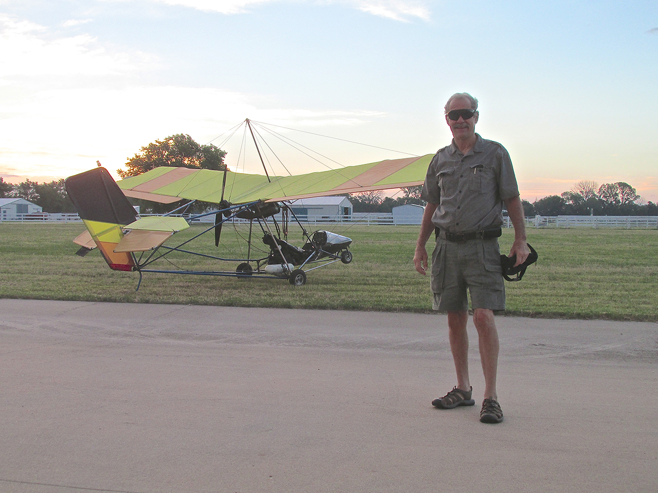
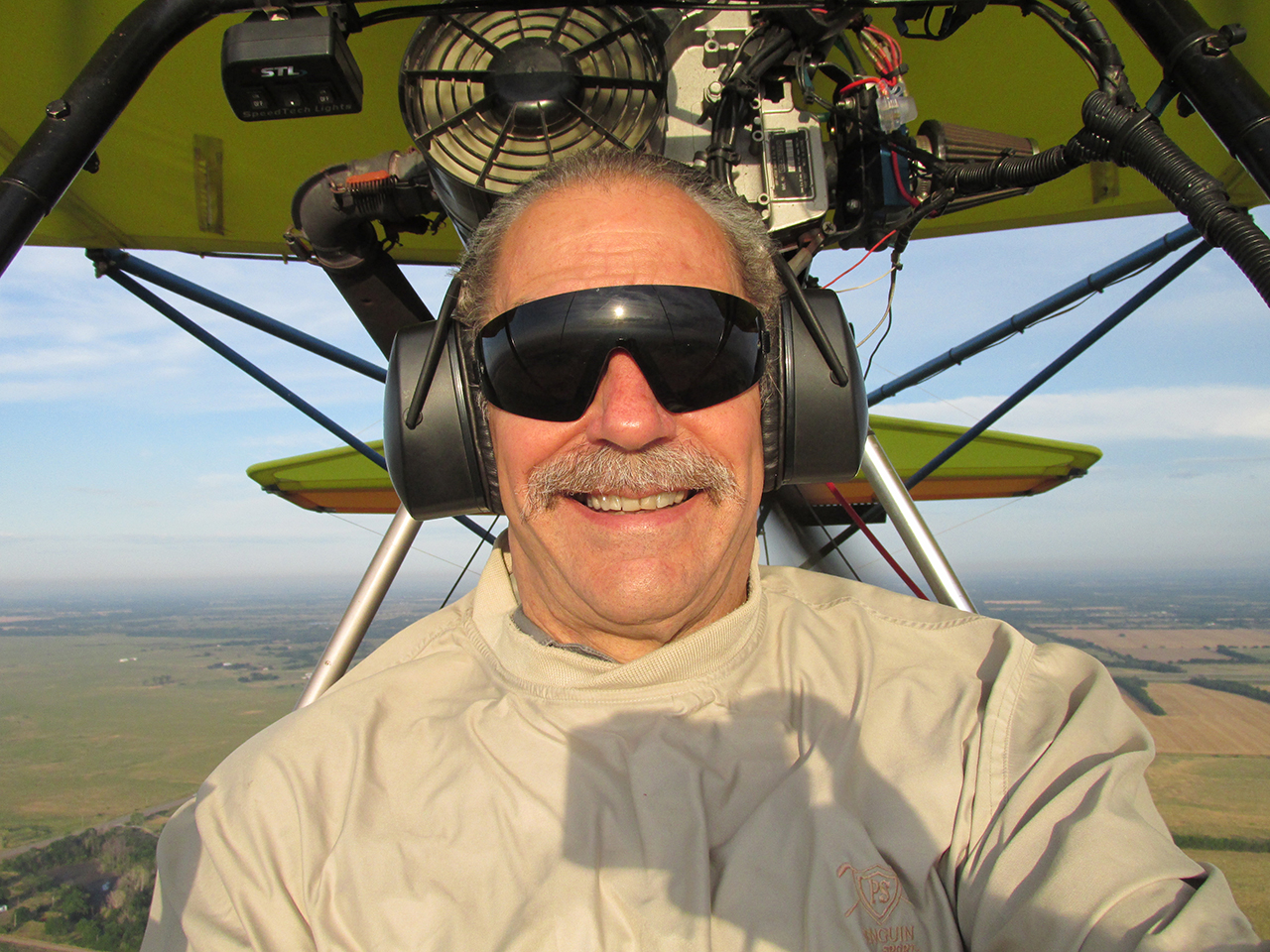
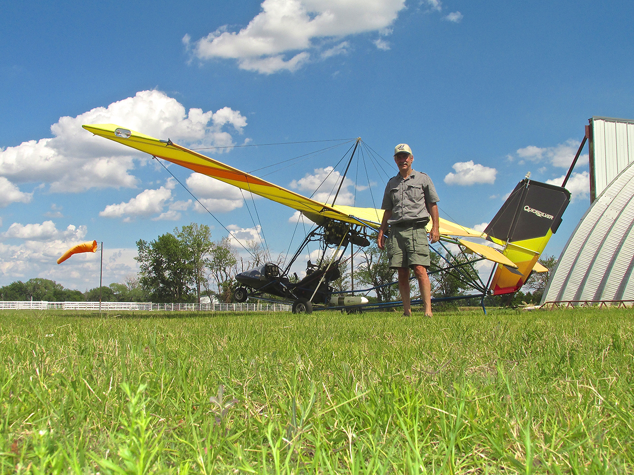
The Sky Surfer Sporting His New Black Blinkers
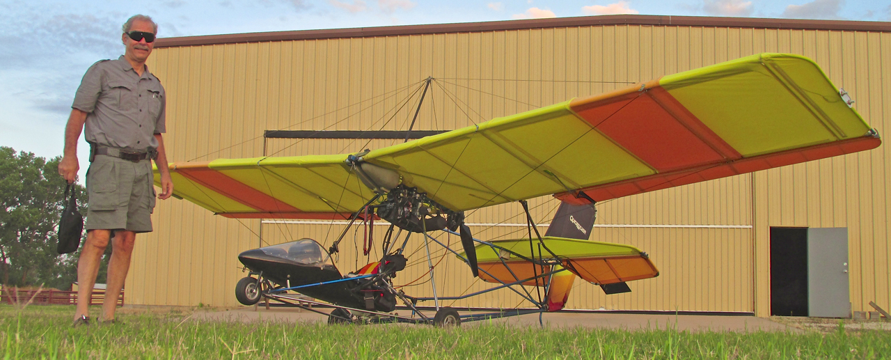
15 Minutes Later – The Extreme Low Angle Shot
Production Problem: “Perfectionism”
The previous two shots are no “great shakes” to look at but were included to give you some insight into a bane of The Sky Surfer’s existence – “Perfectionism”. Since my path to Eureka would require me to fly directly into the rising sun I figured it would be an excellent opportunity to test out the new Batman Black Goggles I had bought the previous winter. I wanted to document the introduction of this new piece of Sky Surfing Paraphernalia. I decided I would put my camera on a mini-pod and use the timer to take a picture of me wearing said goggles in front of the plane with the sunrise behind before setting out. Sounds easy, right? It should have been… 15 minutes later with 9 shots taken I ended up with a couple of “OK Pix” just to show the goggles. Next time I’ll just lay the puppies on the picnic table – one shot – and we’re done… “Perfectionism” doesn’t necessarily mean perfection.
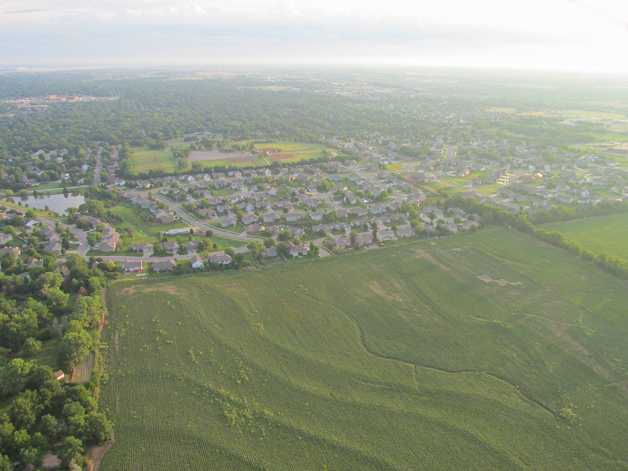
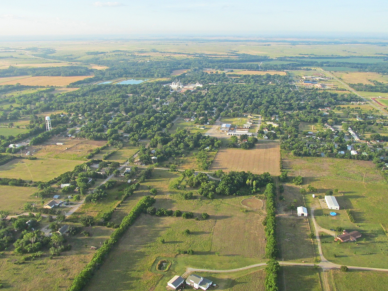
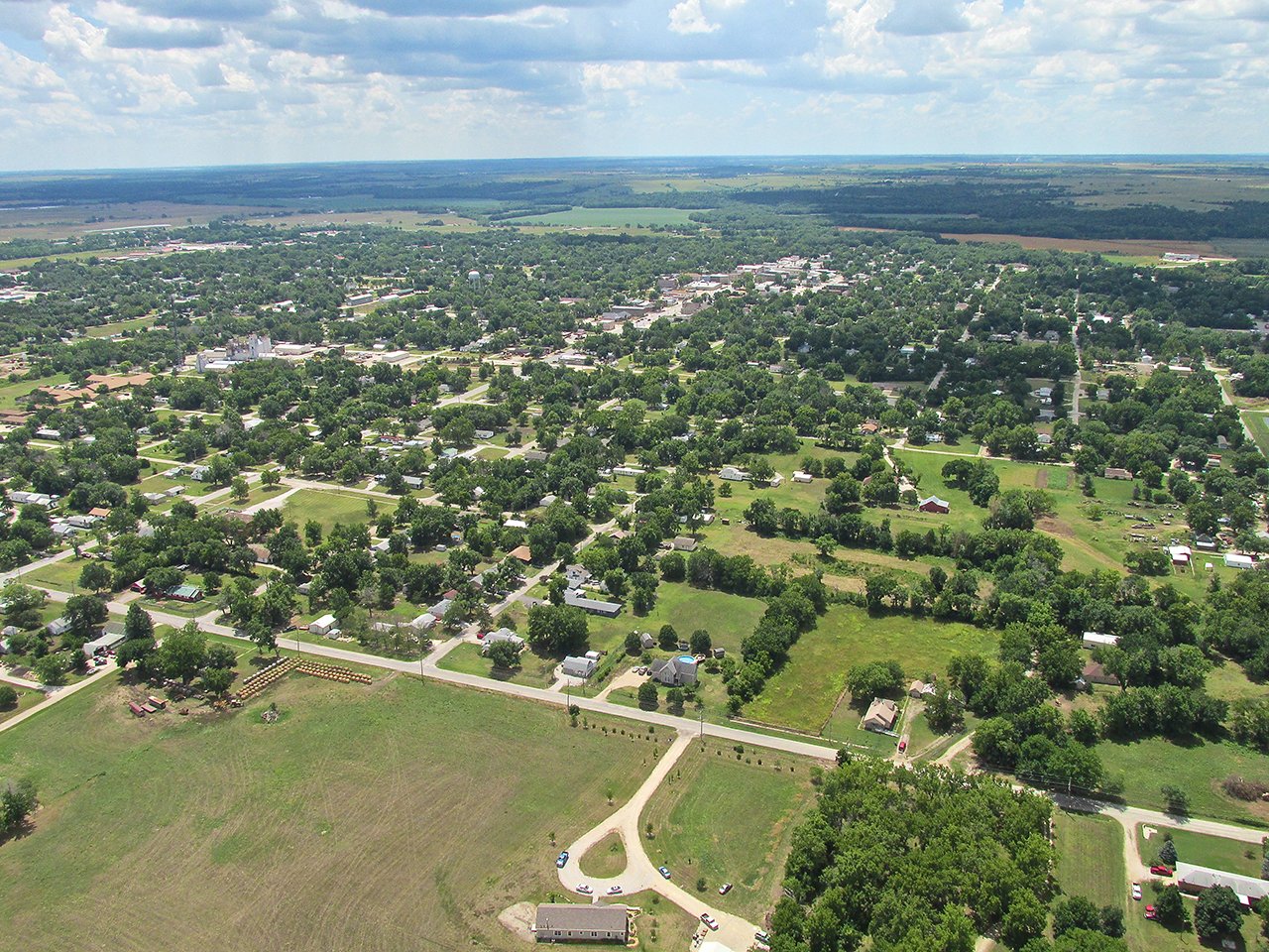
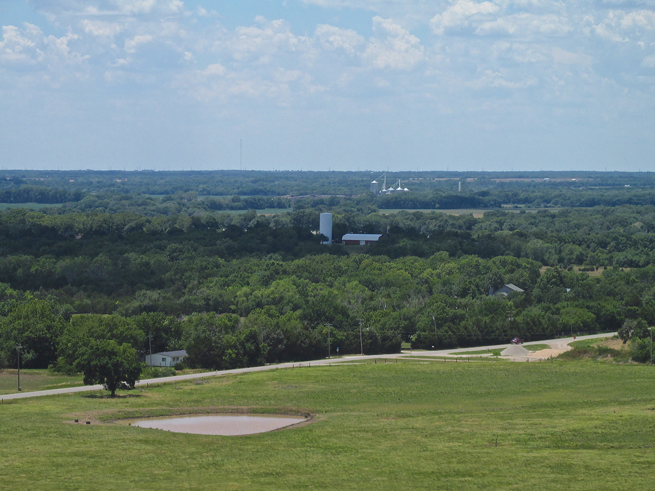
The East Side of Derby, Kansas
If you look closely at the photo above you will see the rising sun beating hard against the sides of some of the houses. Also, you can see the reflection of this sunlight off some of these walls onto the street in front of them.
Eureka is 60 miles away right in line with the sun. The Sungoggles are working!
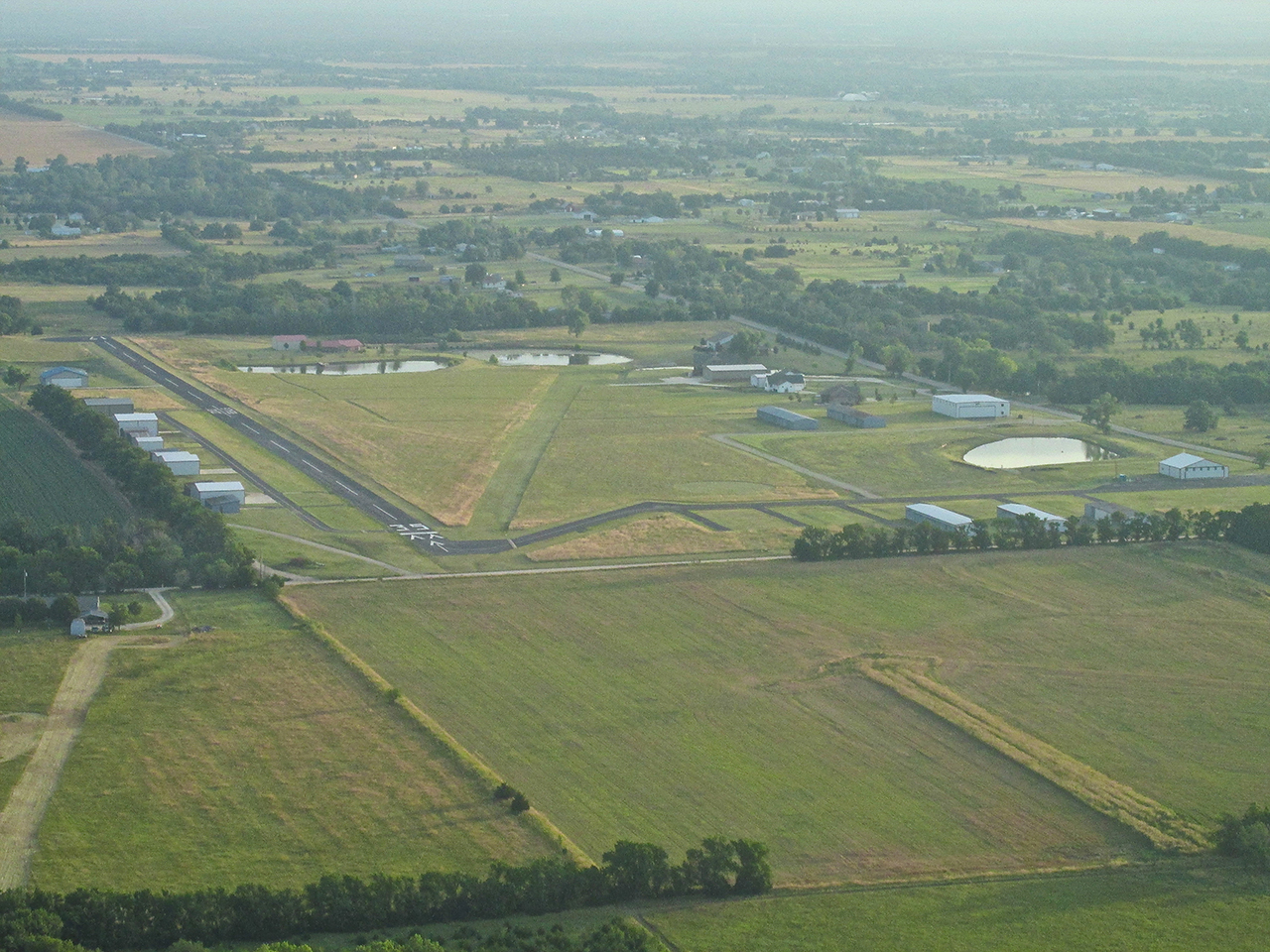
Cook Airfield
Between Derby and Rose Hill, Kansas is Cook Airfield which you see above. I shot this with my telephoto as I skirted the South side of their pattern.
The South side of Rose Hill. I am at 1,000′ AGL looking Southeast.
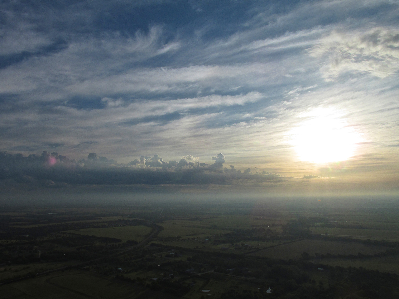
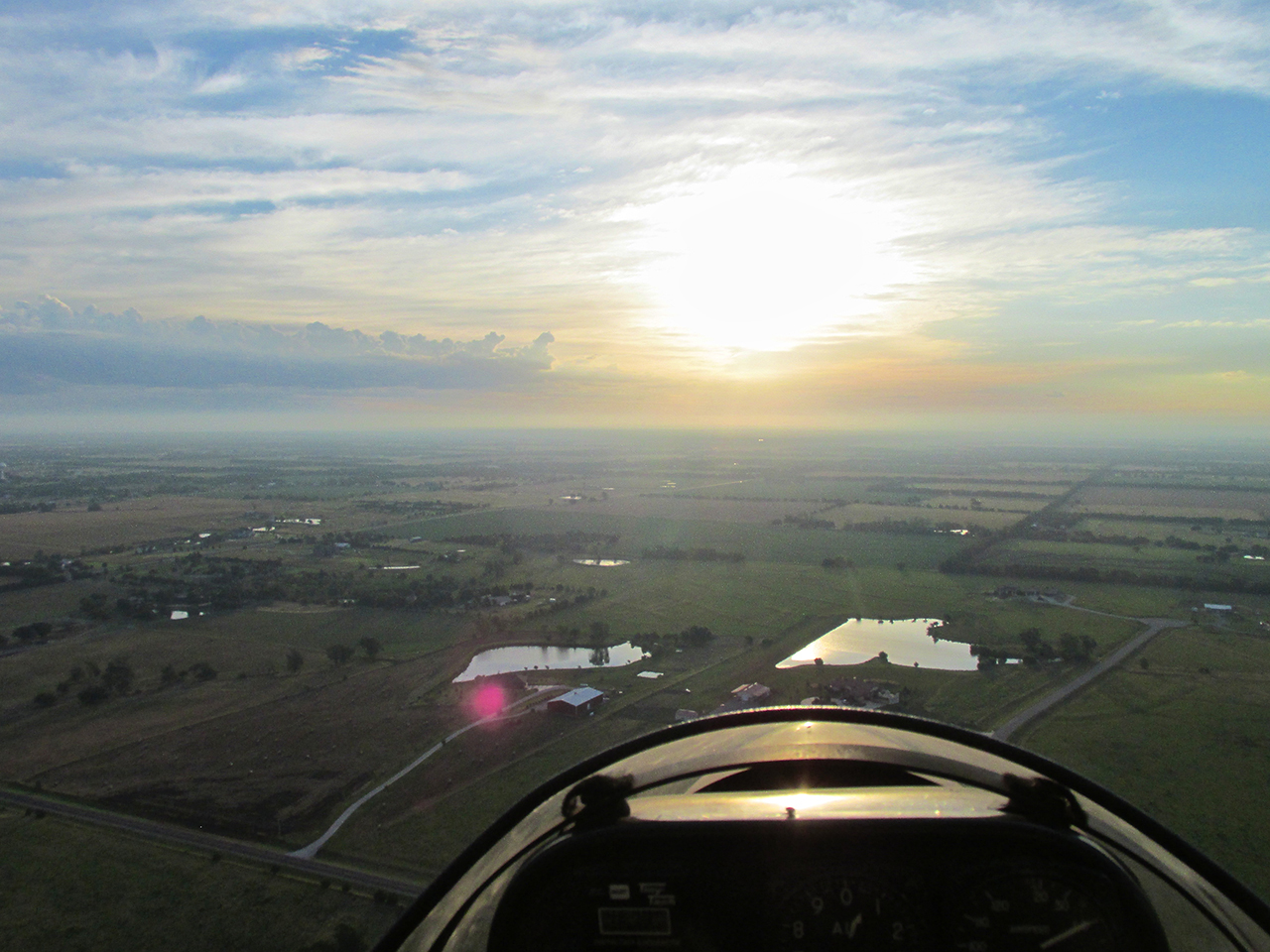
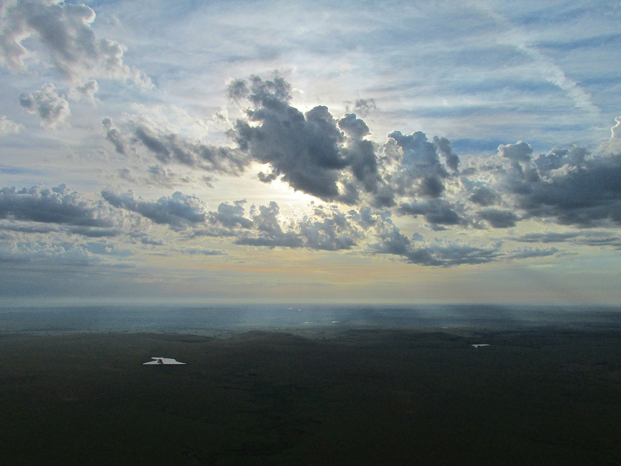
Wearing sun-goggles and looking into the sun puts a whole new light on a cloud layer.
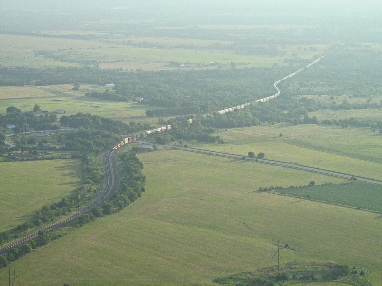
This train snaking its way from parts East caught my attention.
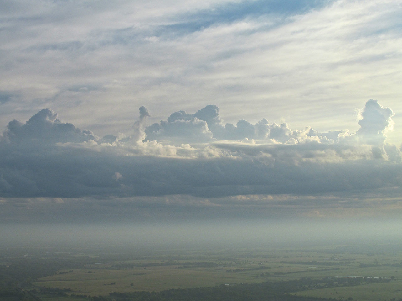
Getting to see cloud formations of this beauty from this higher angle is one of the joys of flying.
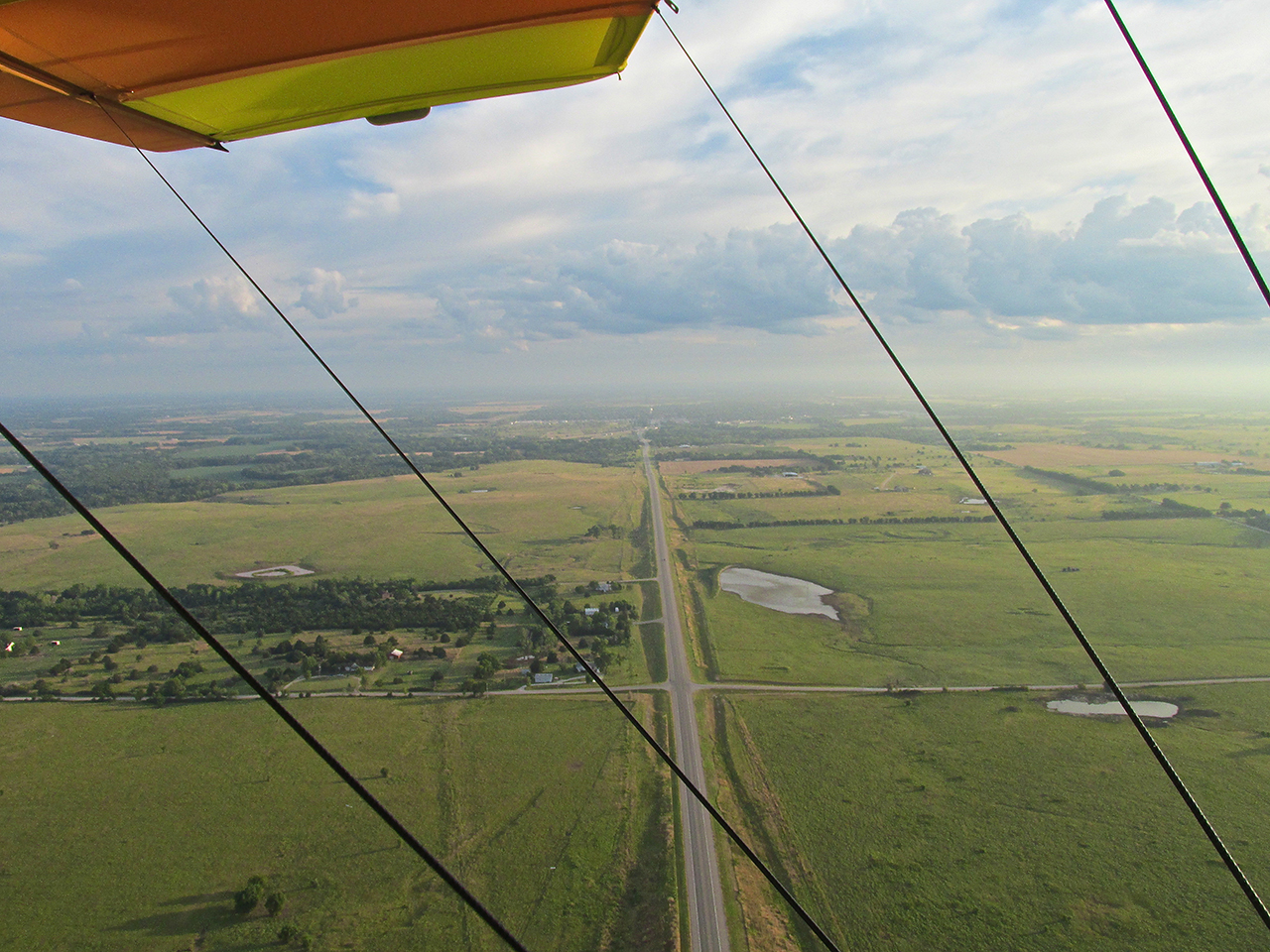
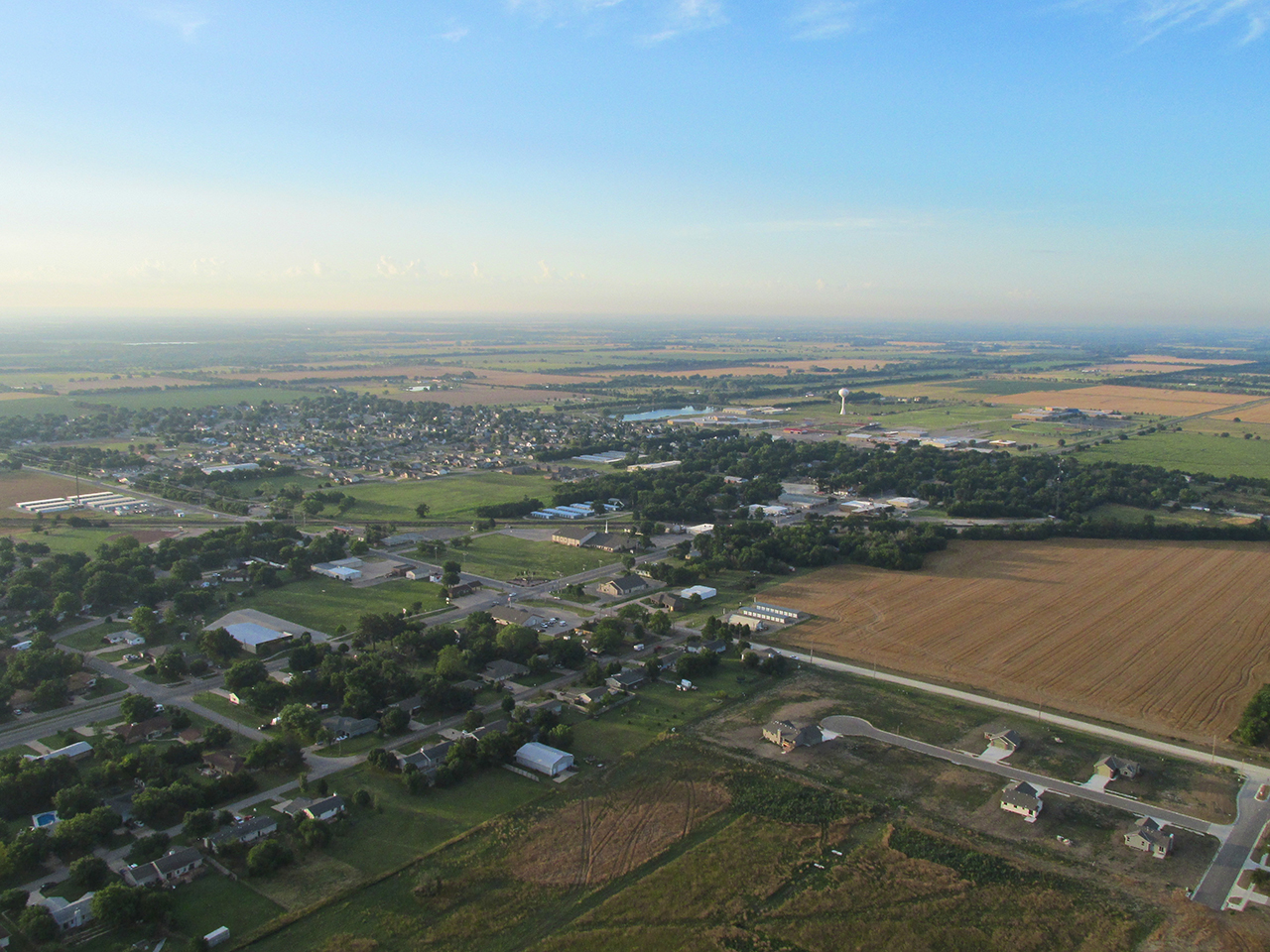
Crossing Highway 77, I see Augusta, Kansas under my left wing. I am at 900′ AGL looking North.
Backlighting Can Be Beautiful
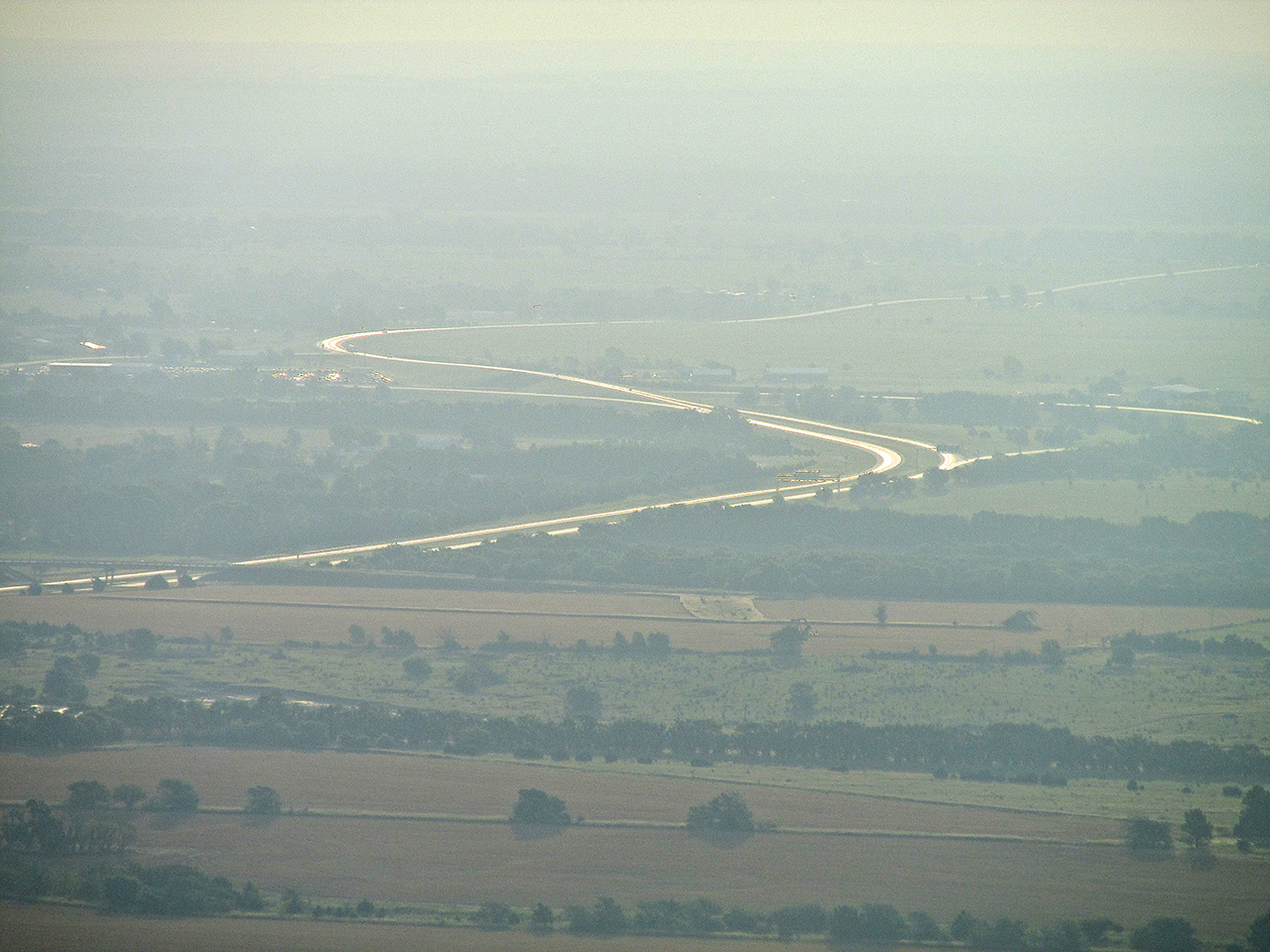
In photography and movie making, what we call “back lighting” is a more advanced technique for accentuating subjects. It is nothing more than replicating under “controlled circumstances” what happens in nature all the time. As I approached the intersection of Highways 400 and 77 I saw the sun reflecting off Hwy 400 where it heads East (to the right). I flew to a spot where I could position the “back light” for the picture below.
Airpark Estates
Just after concentrating on the “art shot” above I noticed an airfield to my left I used to land at in the “old days” (1980’s). I didn’t know the owner very well but some of the guys I flew with did and we would drop in from time to time. This was back when I hangared at The Glider Port. The field has changed ownership at least once and is listed on AirNav as Airpark Estates. It is the field abutting the highway to the left of the Church property.
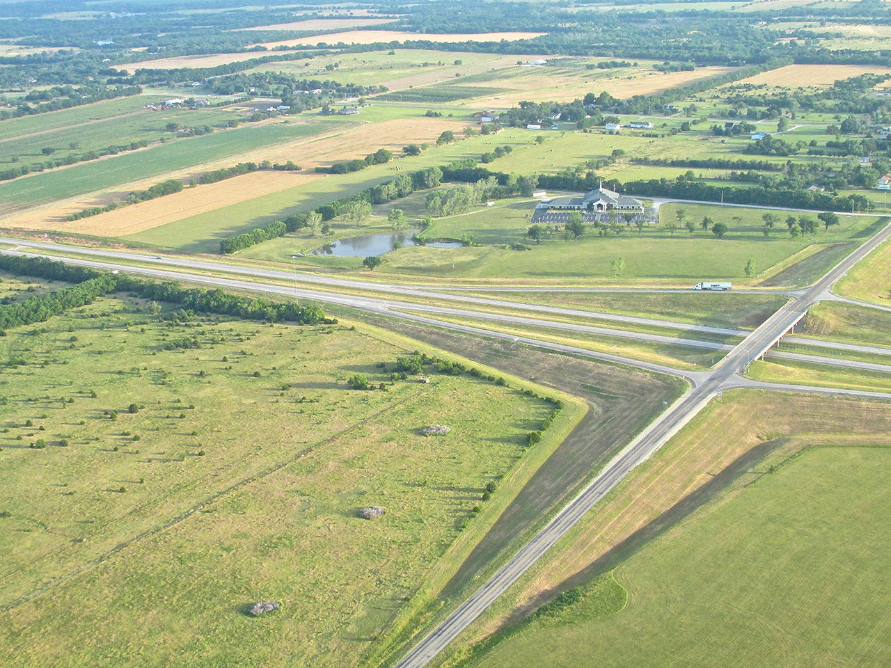
Airpark Estates
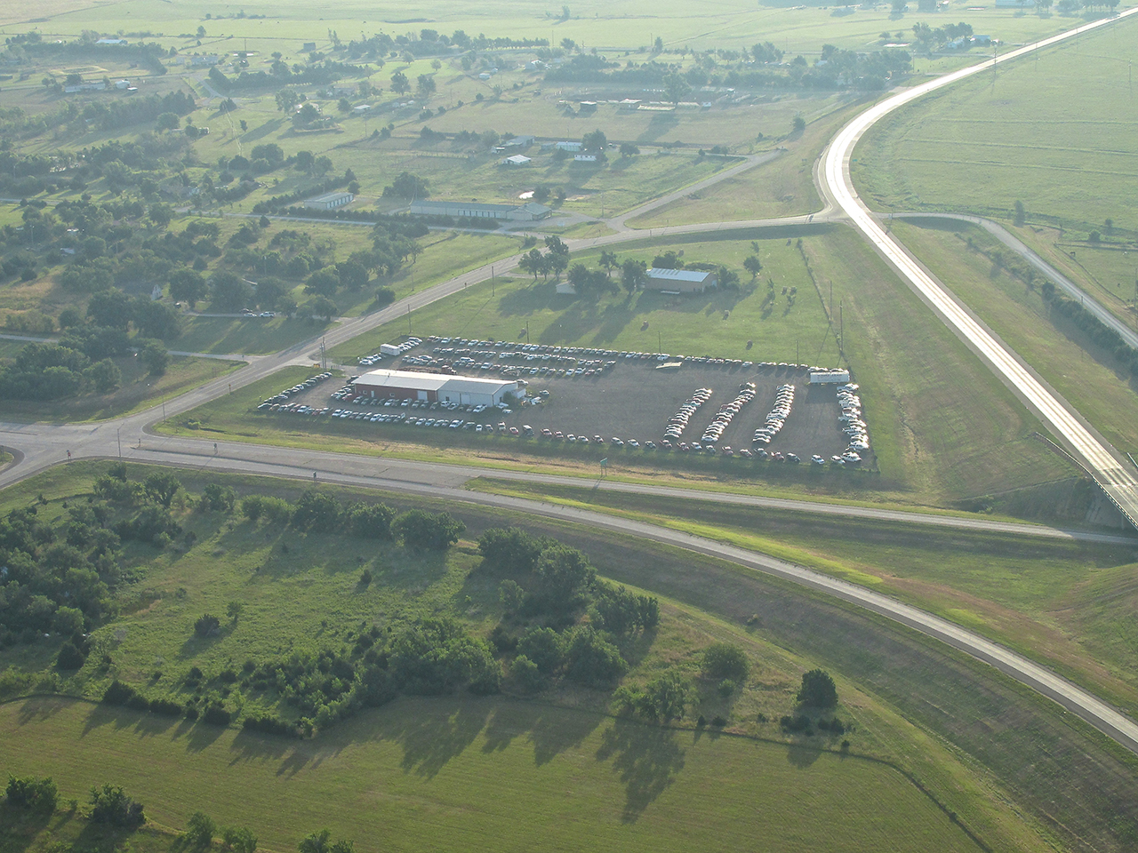
Cars At The Crossroads
The Sky Surfer In His Element
Perfectionism concerns welling up again, The Sky Surfer was worried that his sunrise work to show you his new “sun-goggles” would not pan out. Below is the “best of 4” attempts at a backup shot in case that early effort was “no go”. Even though the two photos starting this report were overkill, The Editor decided to include the picture below as an “atta boy” because The Surfer seemed so pleased with himself.
Note the fast-spinning fan mere inches behind his head. Now we know where all the hair has gone!
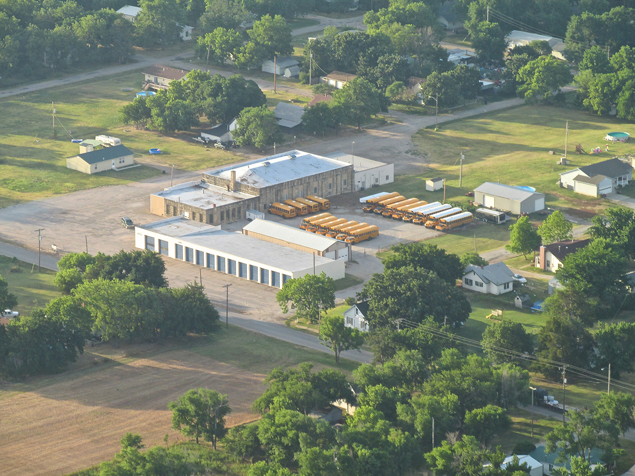
Hidden Assets
When young I observed that School Busses only appeared in the morning and the afternoon. Other than those two times, they mysteriously disappeared and could not be found. Now that I fly with The Eagles, I have f0und their hiding places and reveal them to you as I discover them. Yet another item in a young boy’s on-going quest to find The Meaning of Life – checked off.
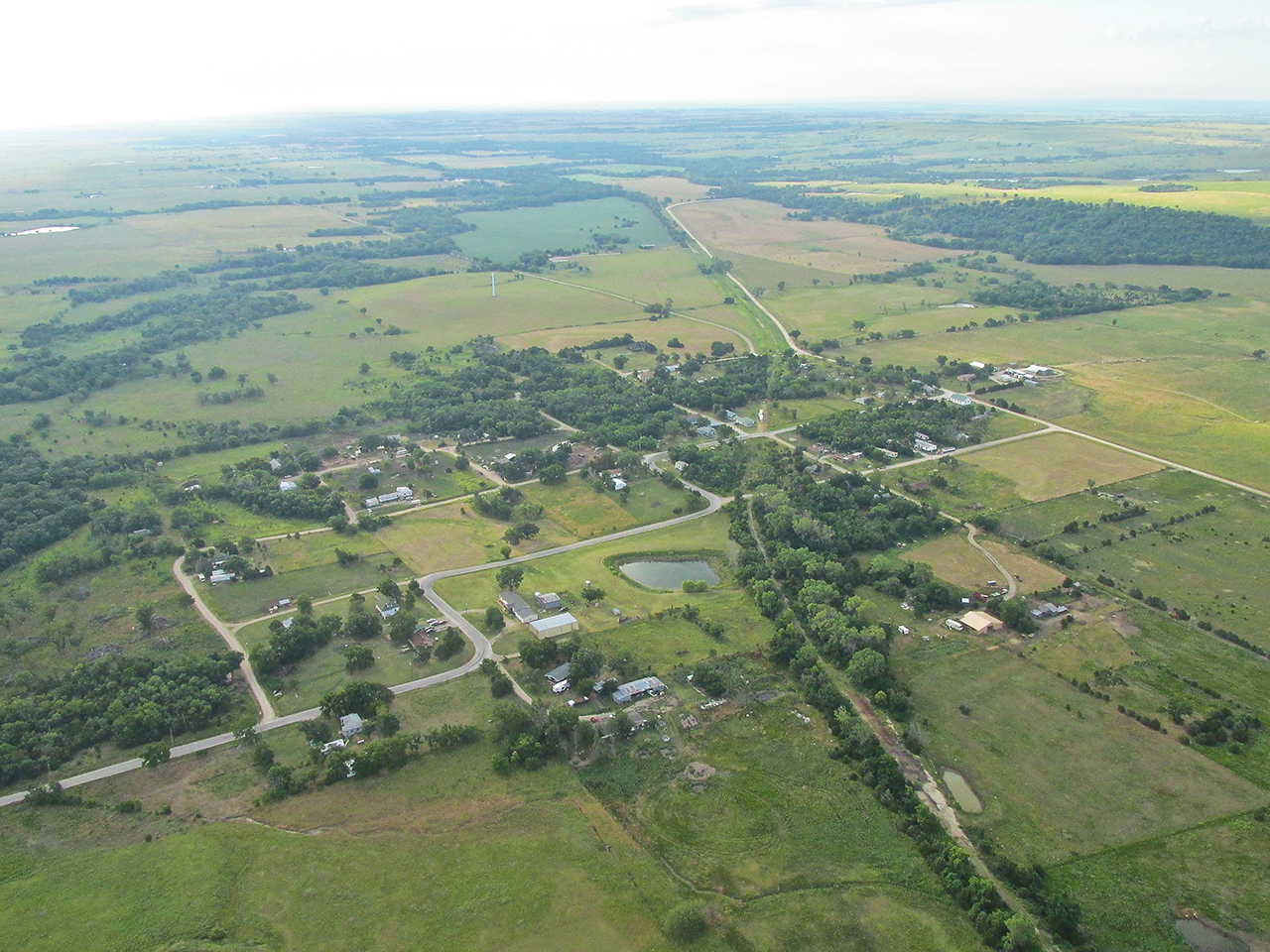
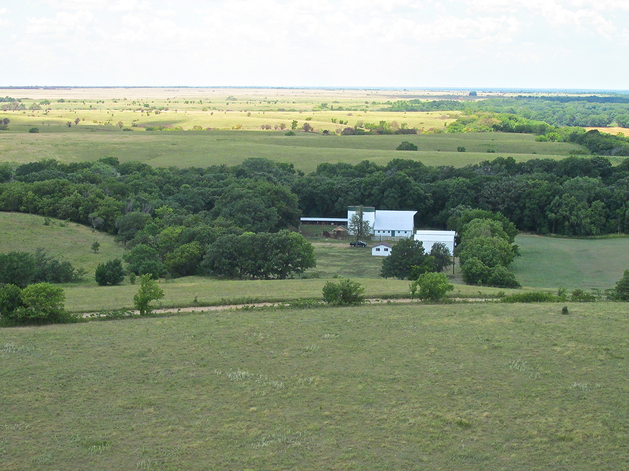
Leon, Kansas From 800′ AGL Looking South
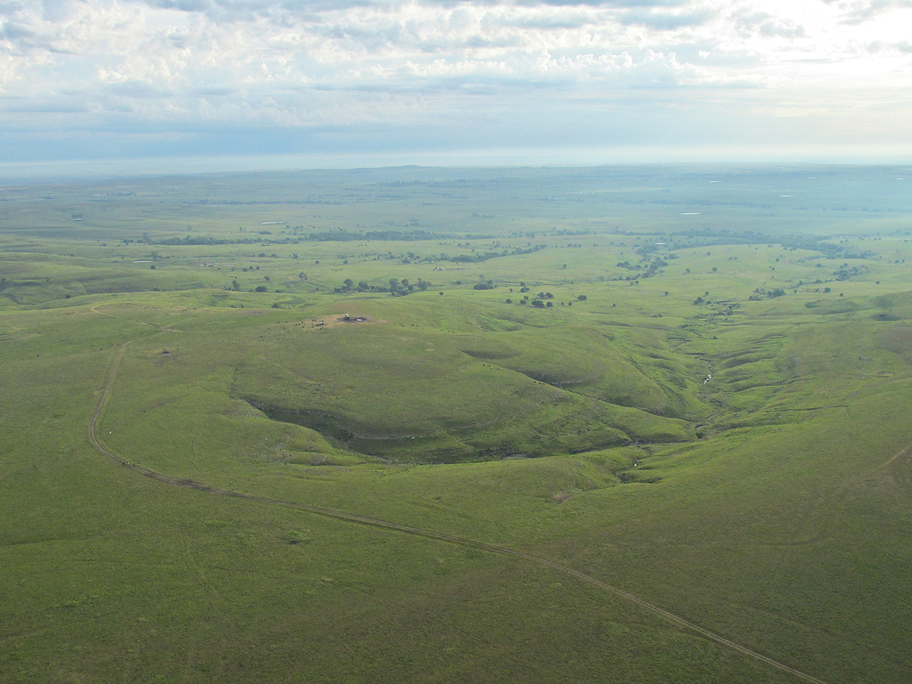
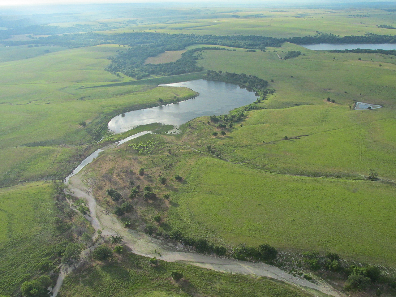
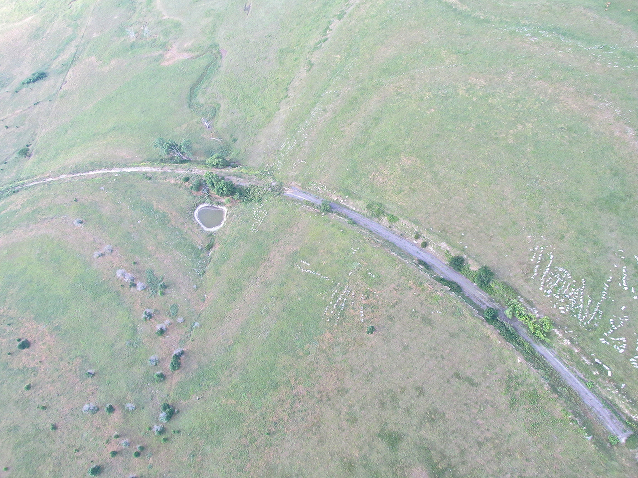
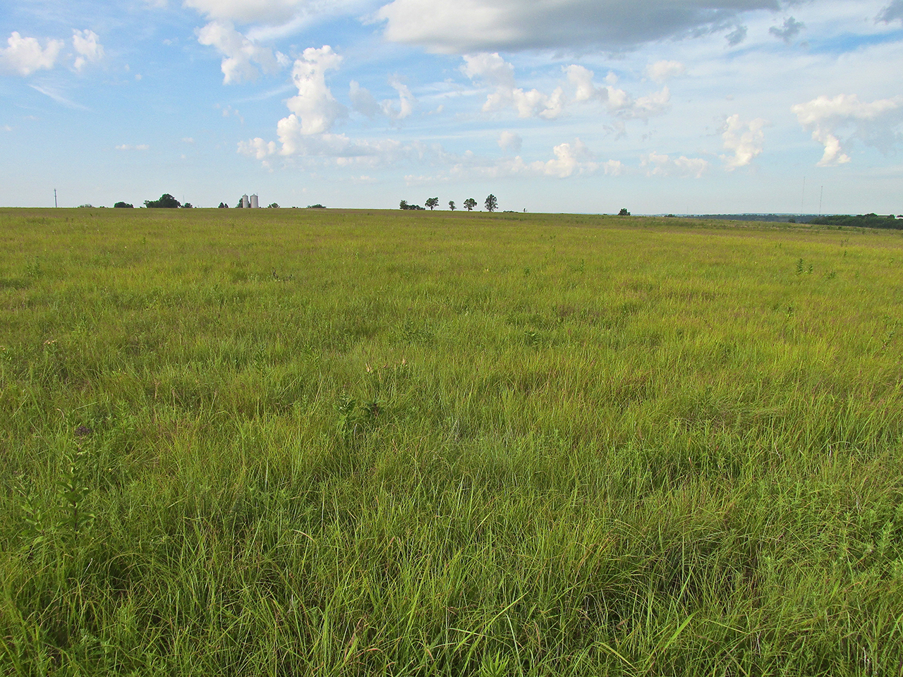
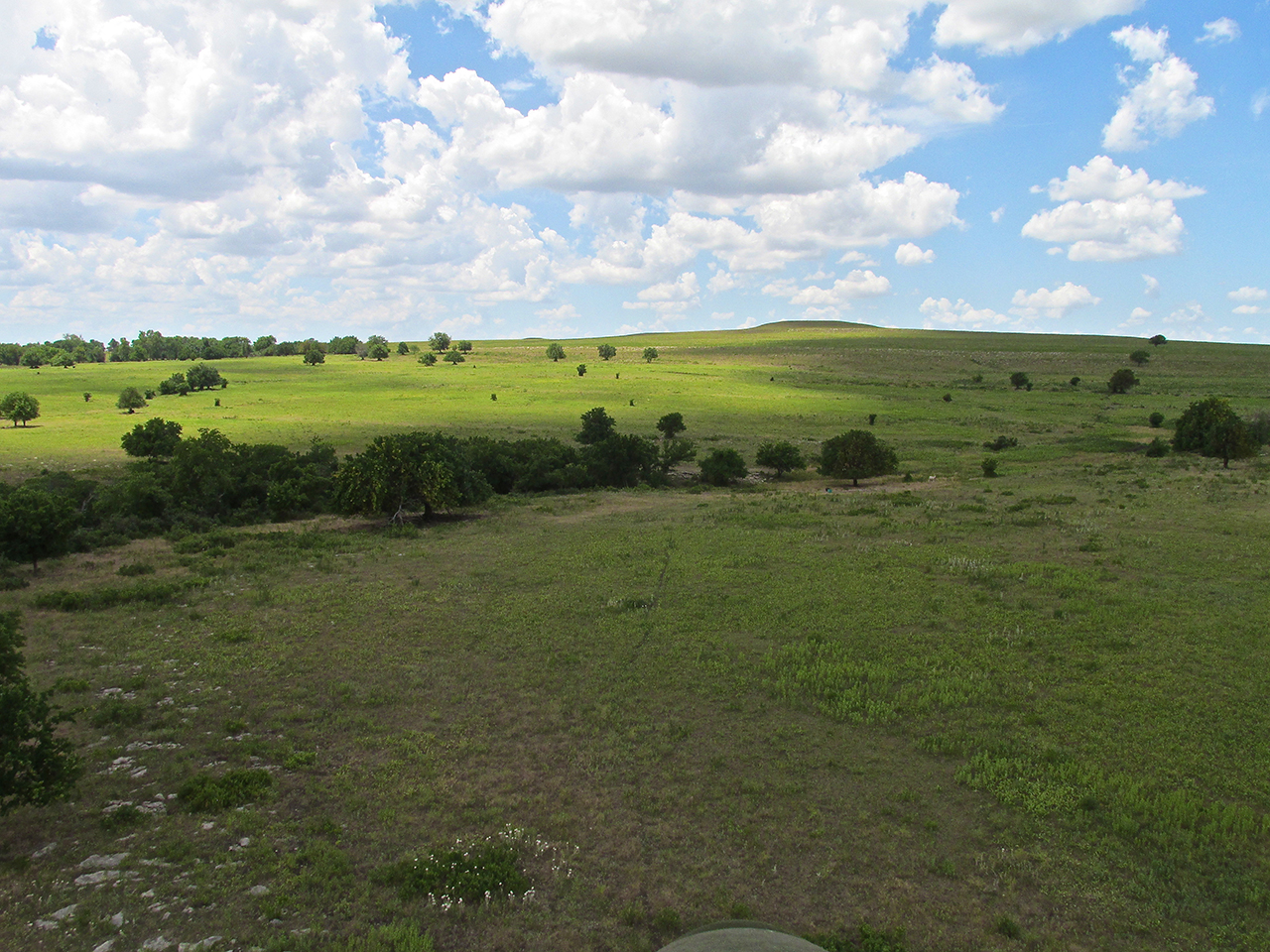
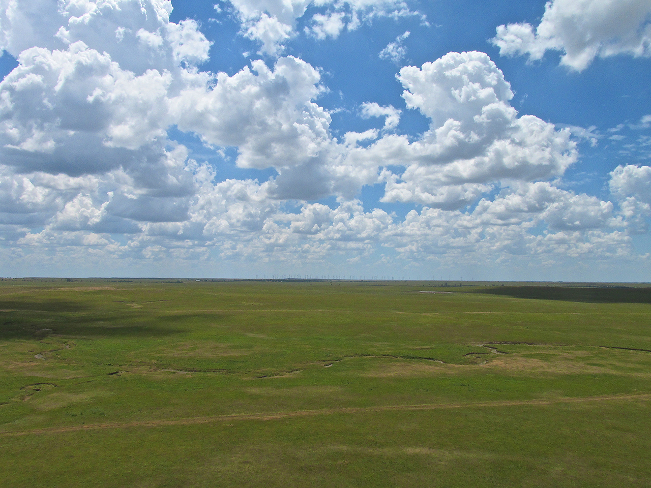
The Flint Hills From On High
After passing Leon, it was just me, The Majestic Sky Above and The Fantastic Flint Hills Below. Is there a better place to be with a camera?

A “GlennView” of The Flint Hills
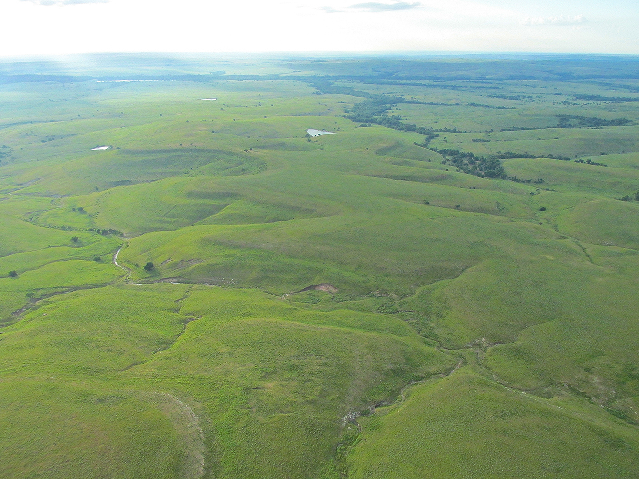
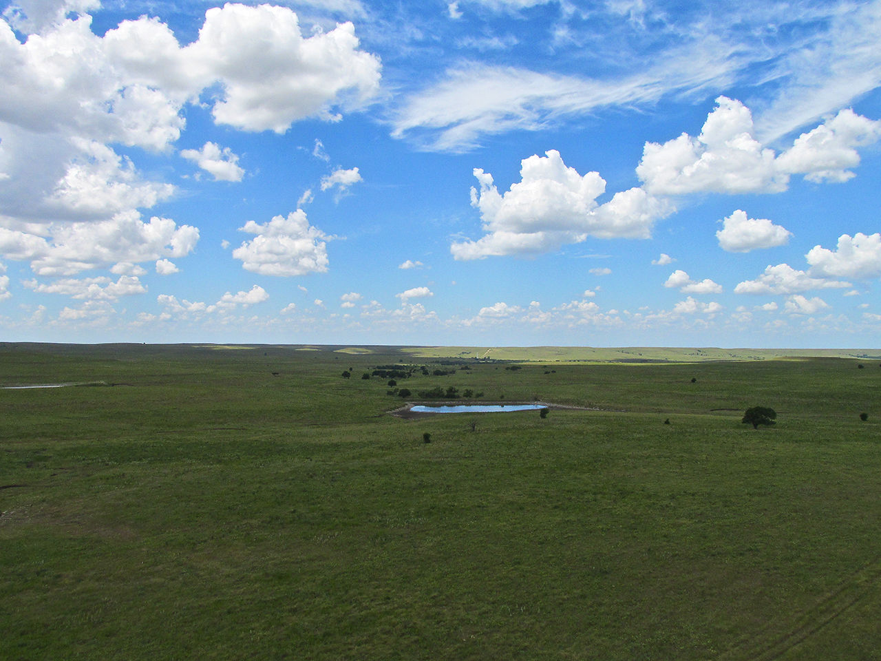
Reese, Kansas – Remote and small enough NOT to have its own website OR to be listed in WikiPedia. How cool is that?
Jet Stream
Since approaching Leon, I had been carried along by a pretty strong tailwind. This is why you see these shots being taken from 1,000’+ AGL when I usually shoot the morning pix at about 10′ Above Ground Level (AGL). For me, the tailwind that reached as high as 35 mph that morning was like being in the Jet Stream! Eureka is 61 miles from Selby Field and I got there in about 40 minutes.
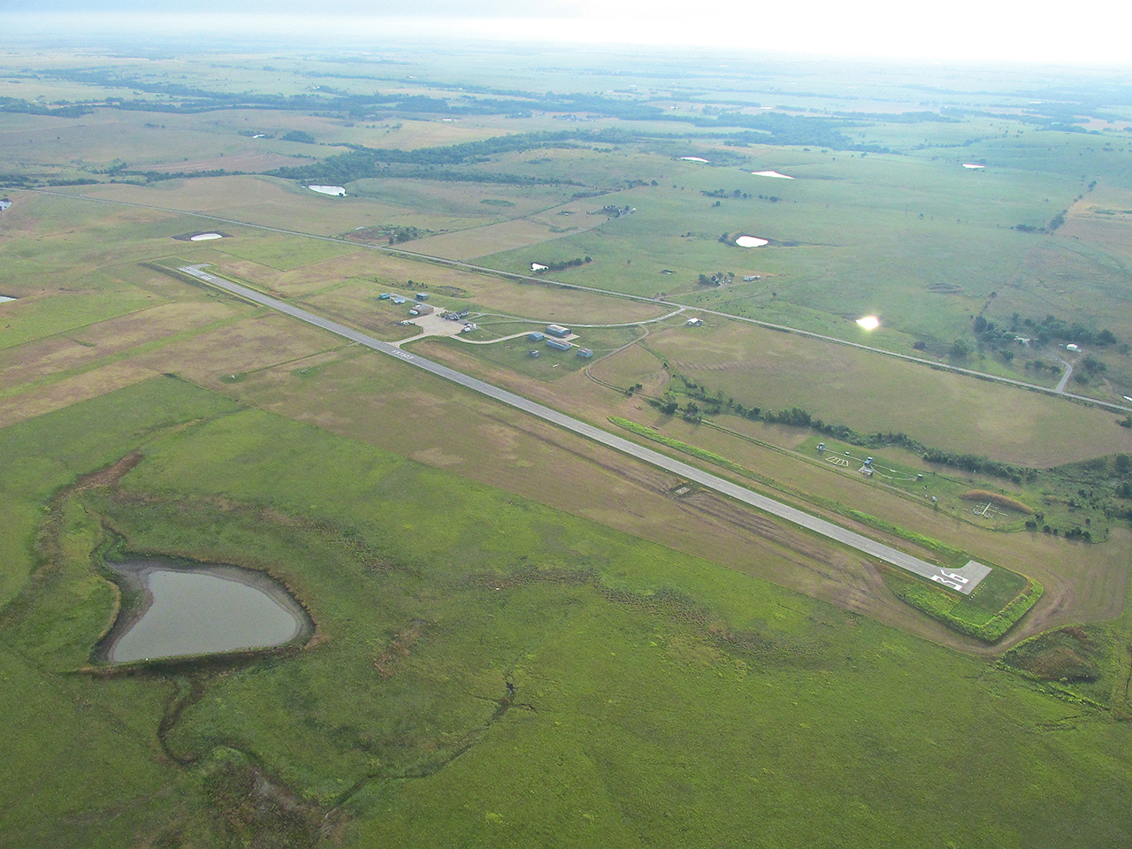
Eureka!
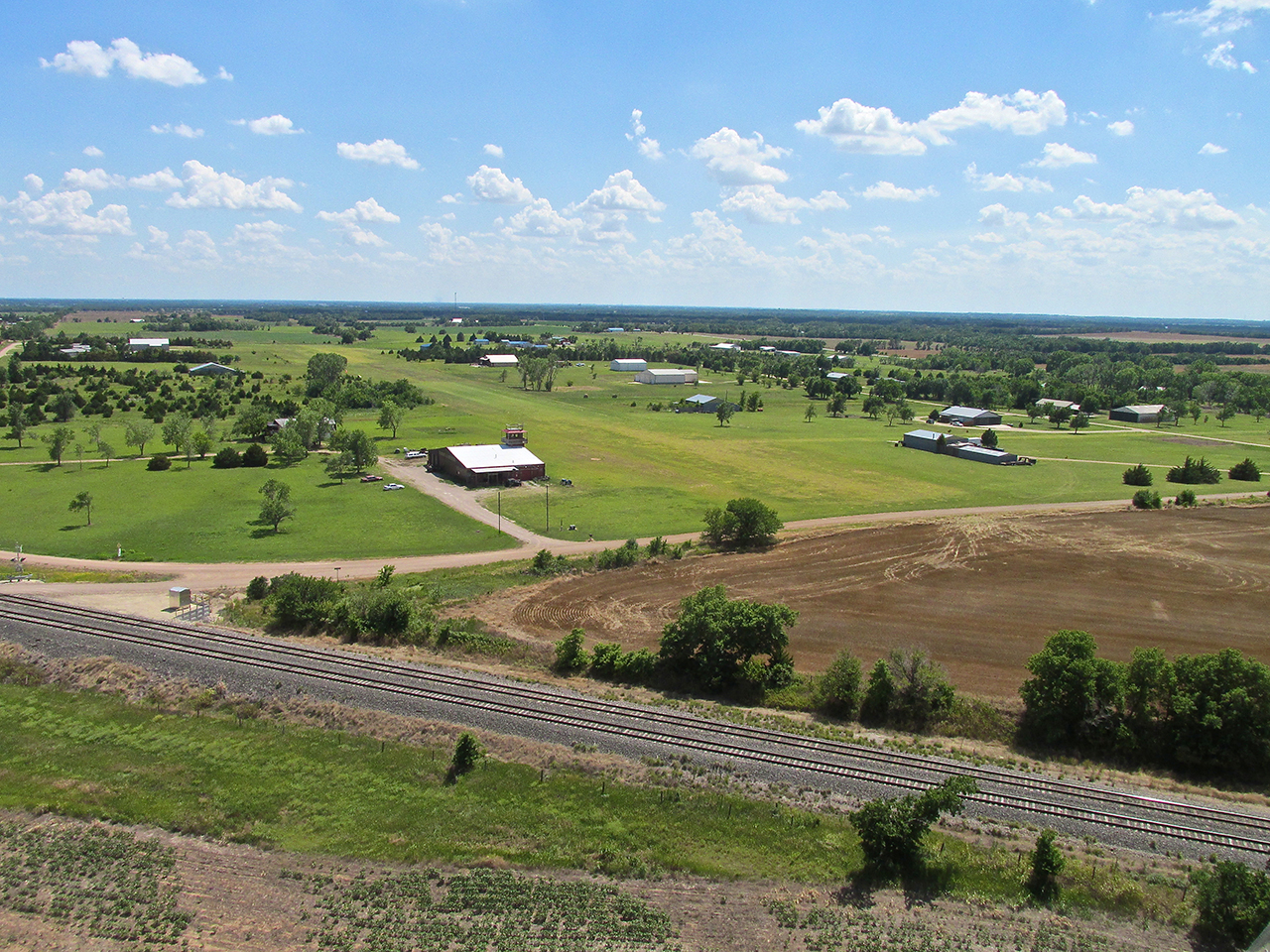
Primo Strip
Lt. William M. Milliken Airport of Eureka, Kansas is one of the nicest of the small town airports in Kansas. The surface is well maintained and the grass is cut as nicely as a golf course. There is 100LL and Auto Gas on the field and they have a car you can use to drive into town. If you are looking for a place to go for a Fun Flight, I can’t give it a better recommendation.
Dedication
Originally known as Eureka Municipal Airport, it was re-named Lt. William M. Milliken Airport in tribute to the Eureka native who lost his life while pilot of a B-24 named “Model T” in World War II. In their first combat flight over Germany, they were attacked by enemy fighters. After a furious air battle in which their tail gunner was killed, the Liberator suddenly exploded killing everyone aboard with the exception of co-pilot Robert Darnall who was blown clear of the wreckage.
Lt. William M. Milliken Airport
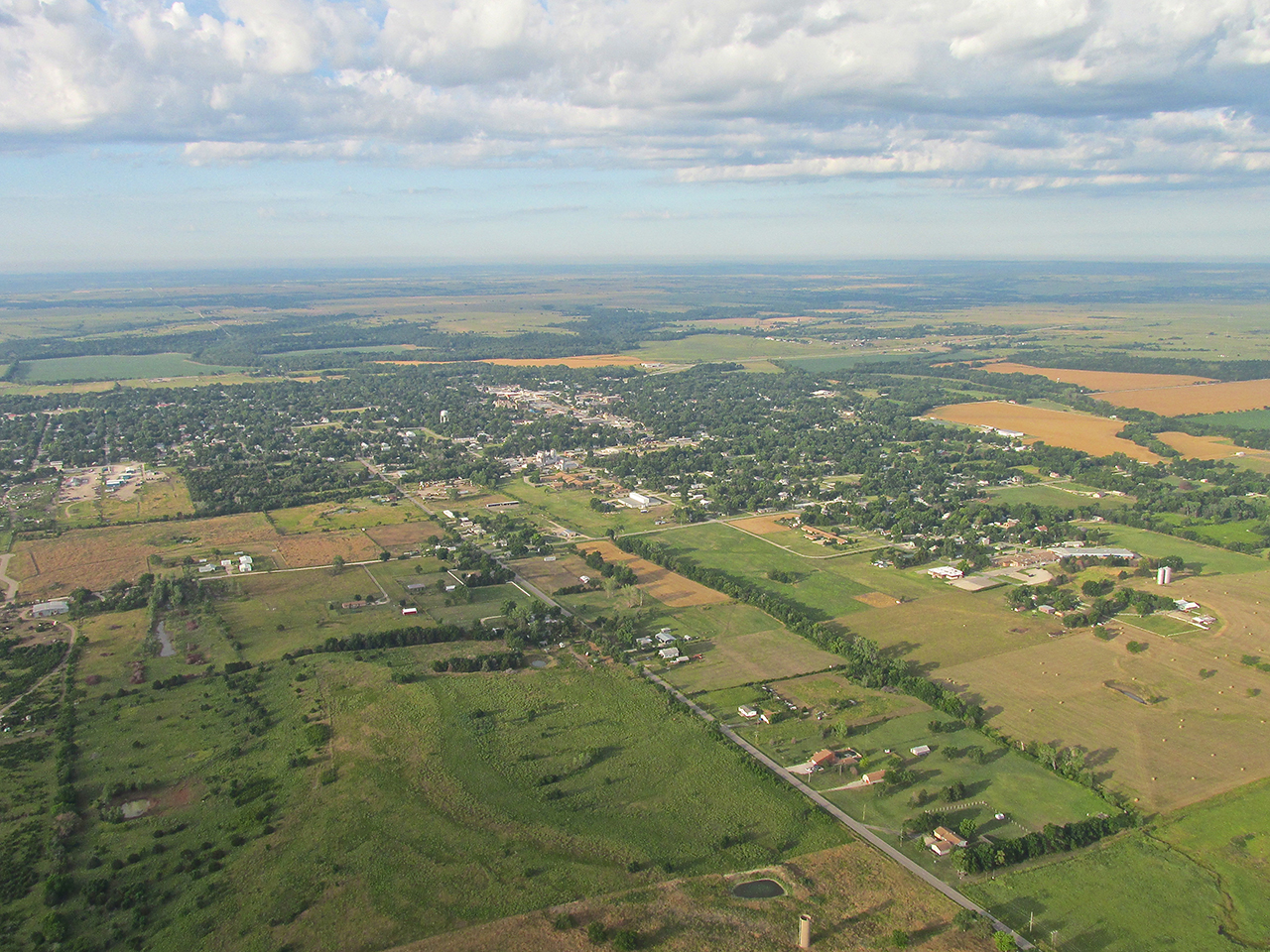
Finally with the sun at my back, Eureka, Kansas from 900′ AGL looking Southwest.
A Eureka Moment
As I scanned the scene below to make sure I had taken suitable aerial photos before landing, I saw a track of some type on the Southeast side of town. I suddenly realized I had been there before…
Eureka Downs
In the late 1980’s, my in-laws had interest in horse racing and even raced a horse named “Jerry Jack”. In that decade, Eureka Downs had a series of financial and political ups and downs as did the sport throughout the region. I had the idea they might be a candidate for TV Advertising and spent some effort shooting film at a few races in order to put a campaign idea together so I could make a presentation to the management of Eureka Downs. My timing was bad. About the time I was doing this (1988-89) the track ran into serious debt as other larger tracks opened in the region and drew away their horses and crowds. A good article can be read HERE.
It all came back to me the moment I shot the picture below.

Eureka Downs
After taking one more picture of Eureka I turned back to the Northwest to enter the pattern to land.

Lt. William M. Milliken Airport – Looking Northwest from 900′ AGL

Pulling off the active at 7:30 am
Shooting into the sun again. After tying down the plane, I took this picture and then set off on my walk to Eureka.
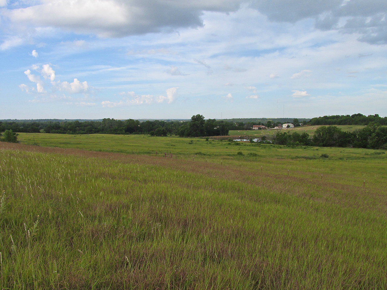
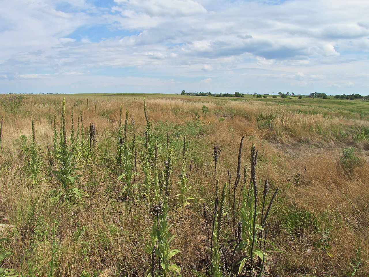
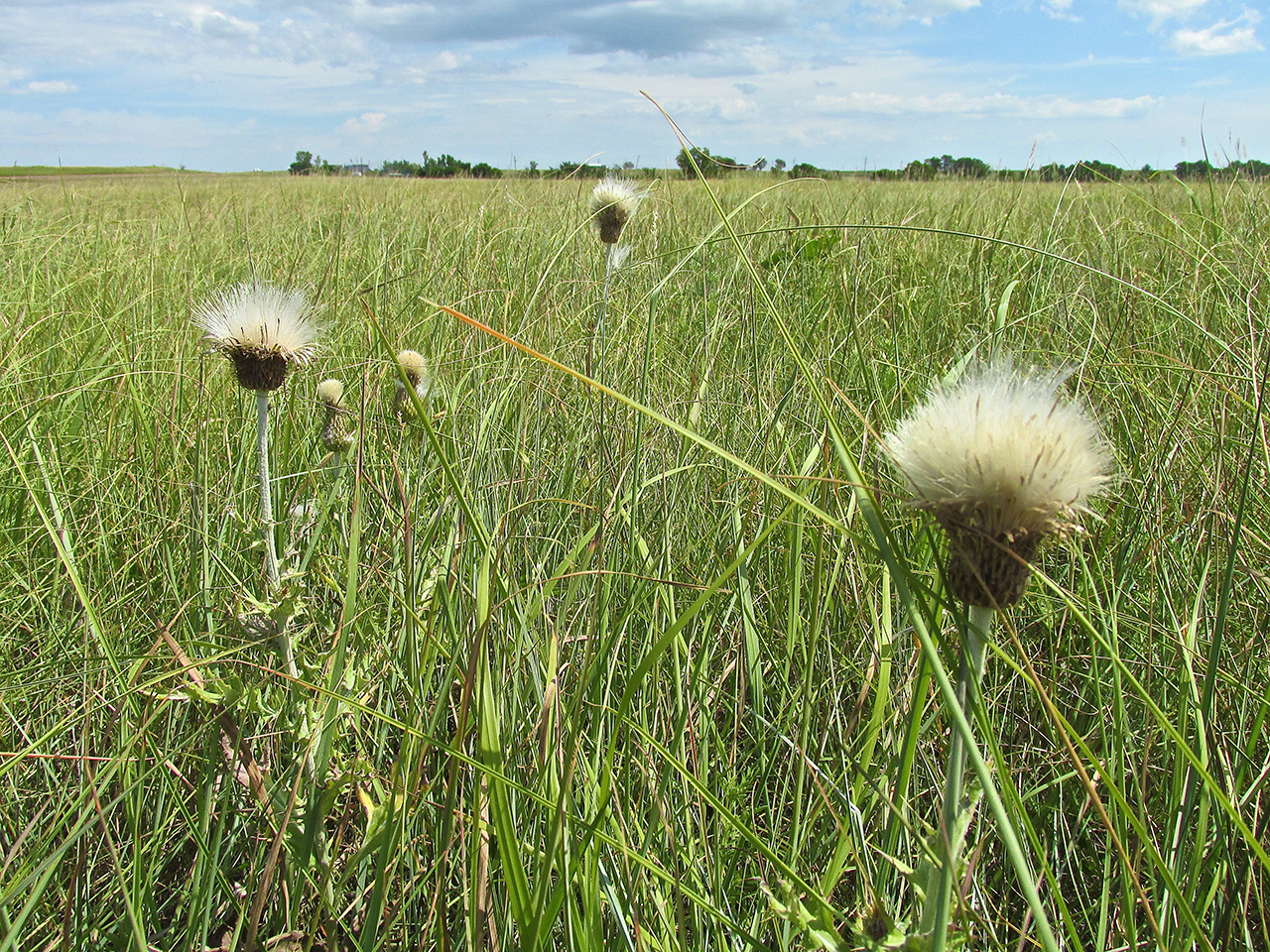
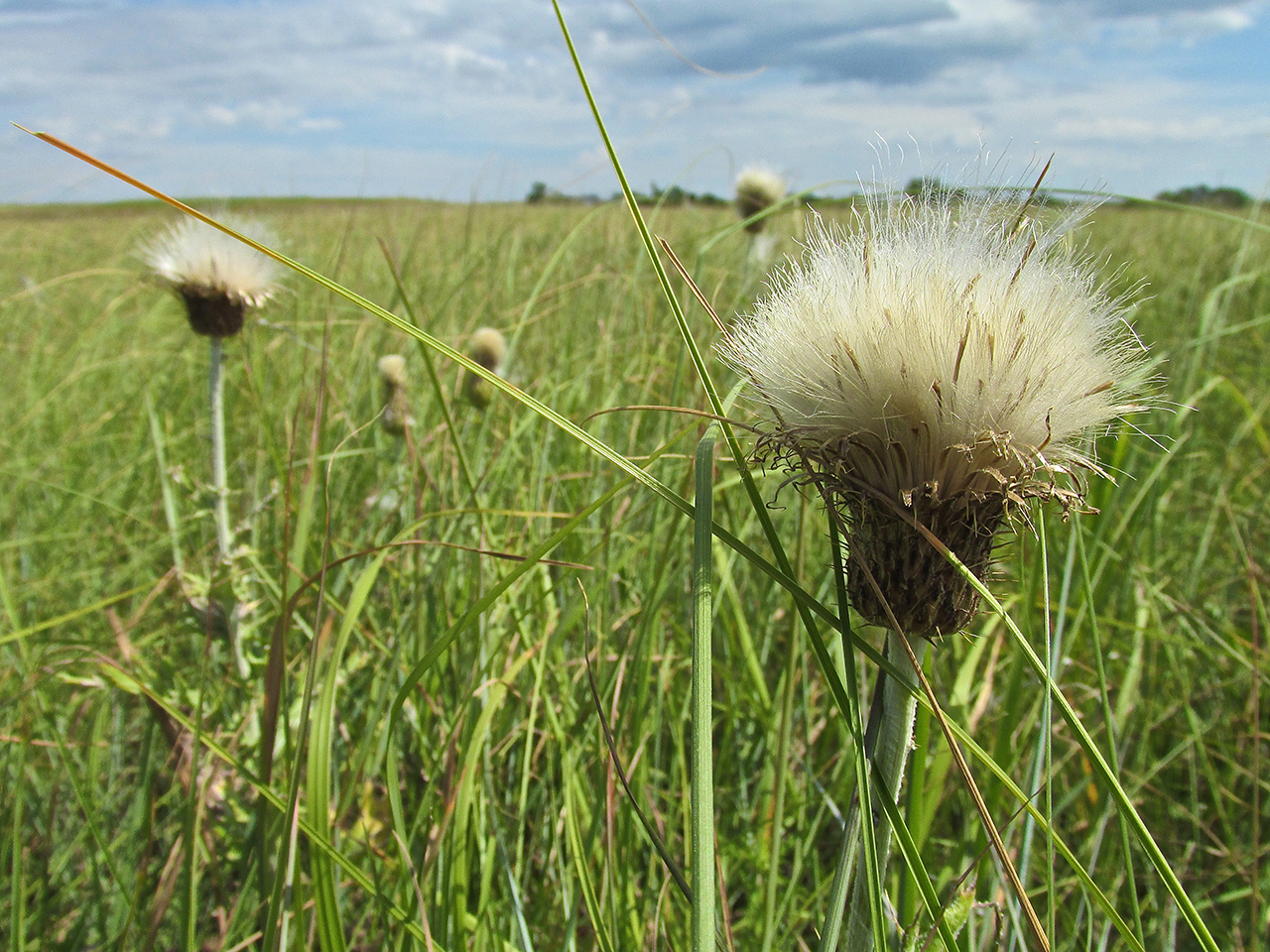
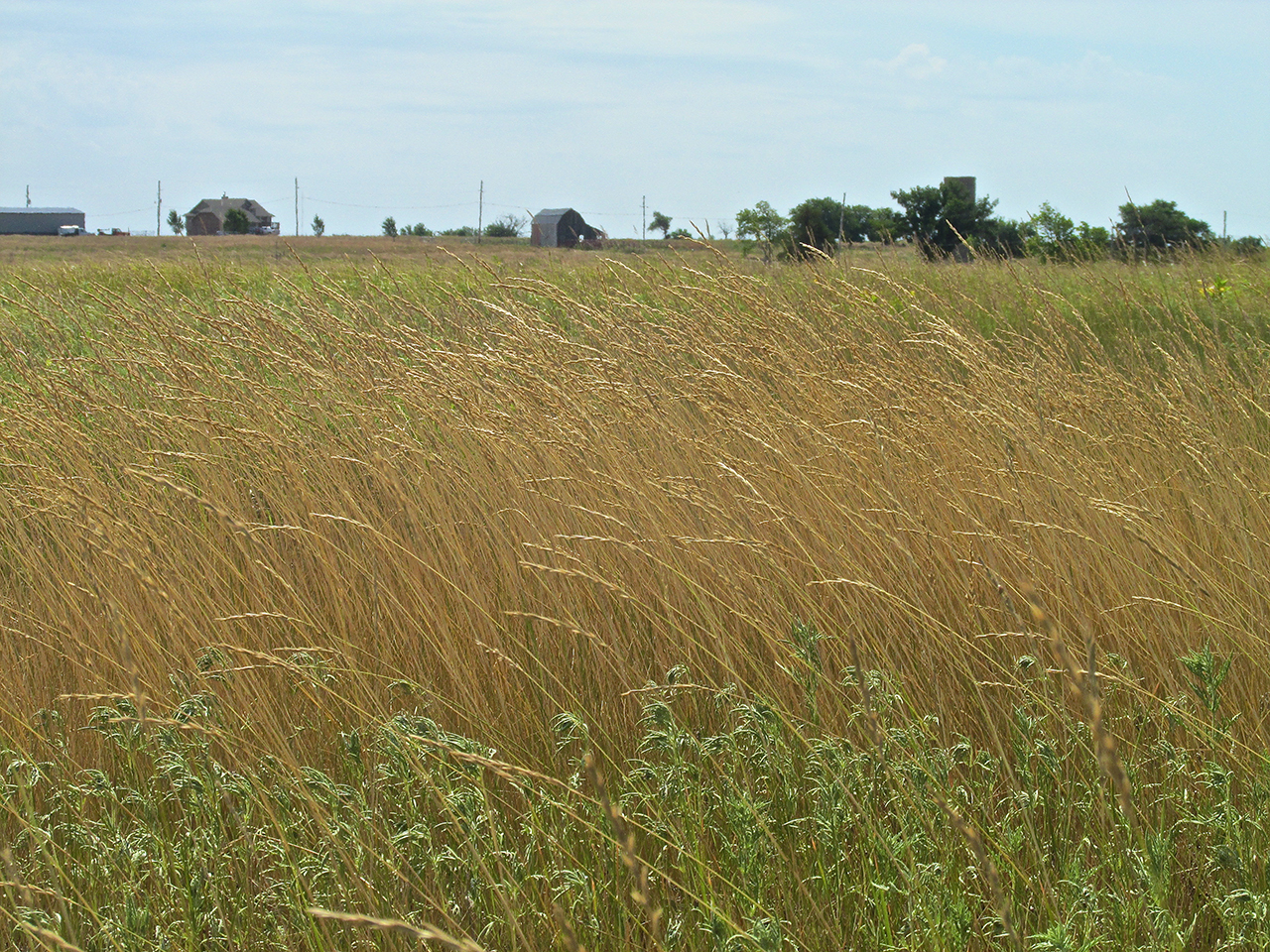
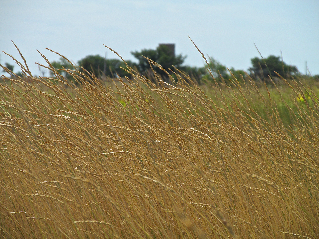
The Tallgrass Prairie
Believe it or not, I actually like to walk from the airport into the towns I visit. As I suspected when I landed (and found to be true when I returned) Milliken Airport has a loaner car to drive into town. But, because it was early and I didn’t want to wake anyone up AND because by walking into town I get a better understanding of the territory – I elected to walk into town.
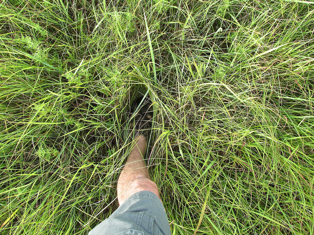
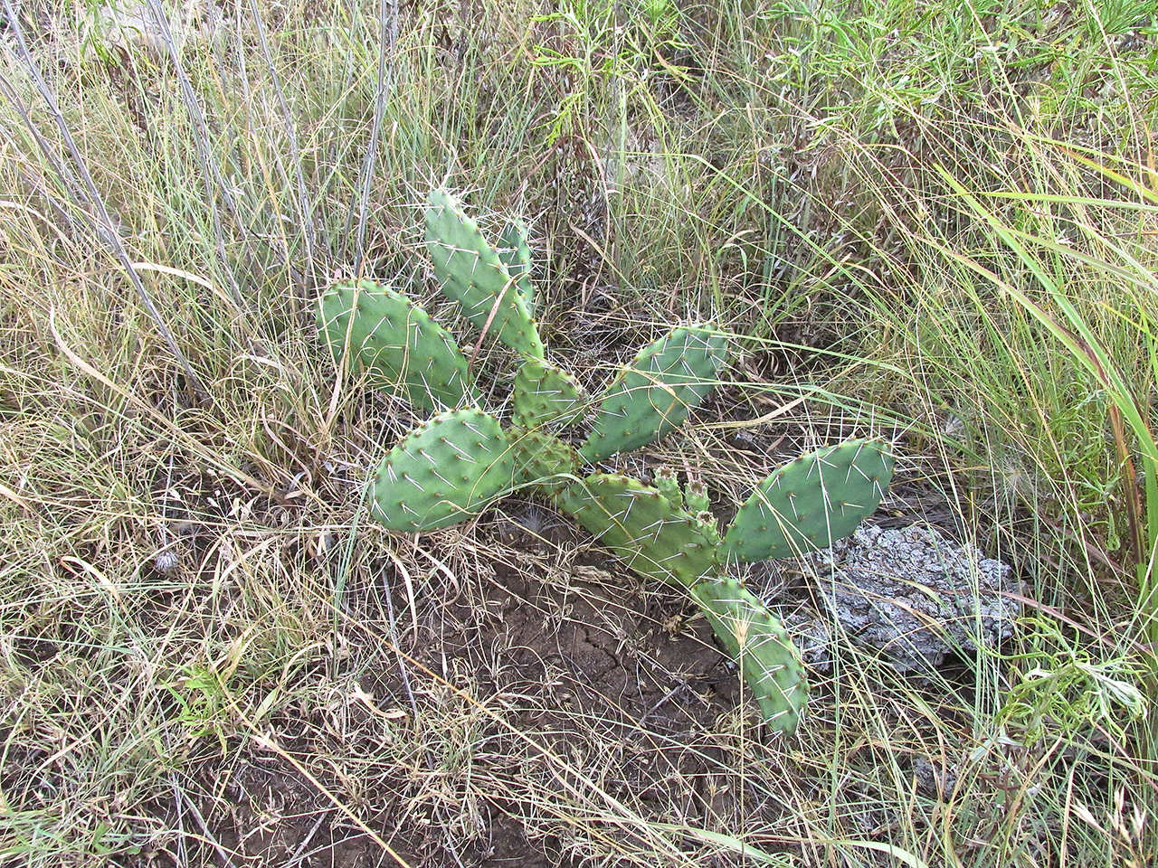
Although there is a road leading into town just East of the airport, I decided to take the short cut across the natural prairie flora I spied from above between the airport and town. About 15 minutes into this adventure it became quite evident this would have been better attempted wearing long pants. (Earth to Brian: It IS called The Tall Grass Prairie) Anyway, I came through the experience without meeting any rattlers or carrying away any ticks.
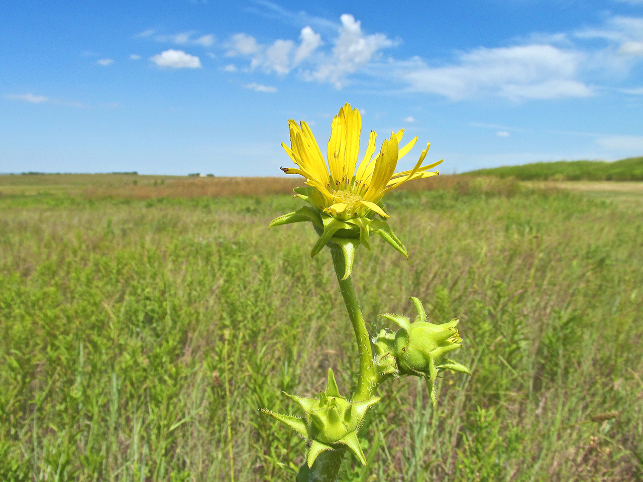
I took this series of photos so you could see some of the plants that live around Eureka and the general look of The Flint Hills in its natural state.
Entering Town
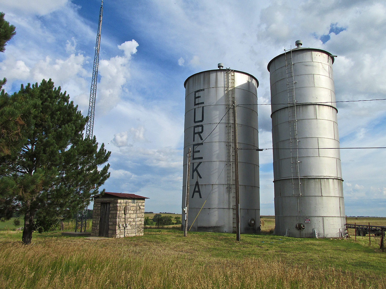
After walking through the tall grass for about 20 minutes I finally reached the outskirts of town. The water towers are positioned on a ridge at the North end where I entered.
Great Timing!
Just as I walked into a neighborhood on the North side of Eureka, a light shower commenced. As I showed in previous pictures, there were rain clouds all around on the flight up. I could have hit rain in the air or got soaked out in The Tall Grass. Instead the rain waited until I had the benefit of a large tree over the sidewalk as an umbrella. The temperature was warm and the light rain fell straight down.
As I waited for it to stop I looked across the street and saw a guy and his dog sitting out on a porch taking it all in. It was Bill Bumgardner and his new puppy Bella – a “Chi-Chi” – part Chihuahua – part Shih Tzu. I walked over and introduced myself and we talked for a while. Bill is a certified mechanic and has also worked the oil patch as a Driller. After about 5 minutes the rain stopped. I gave Bill my card and said I would look for him if he was still outside on my return to the airport.
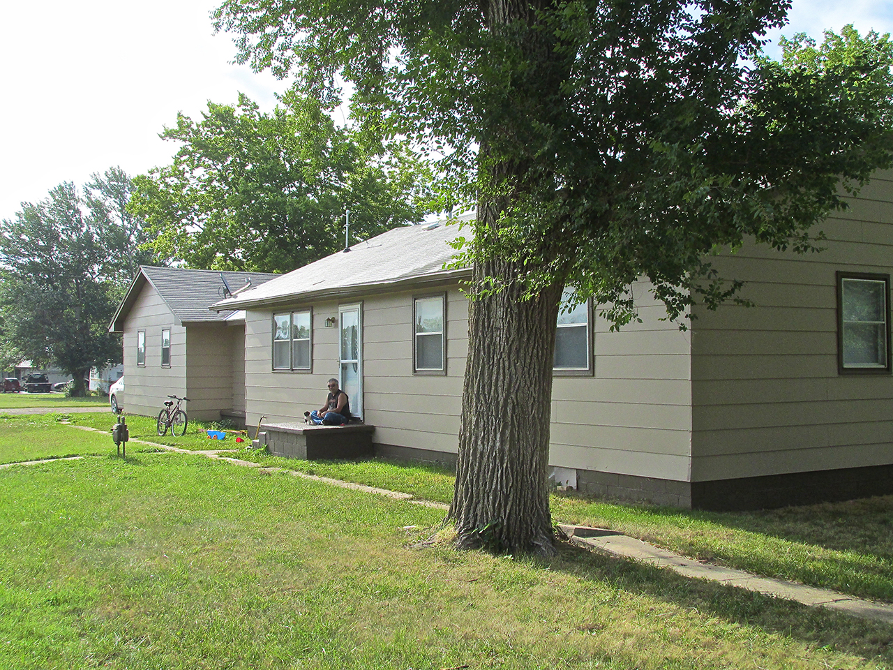
Bill and Bella
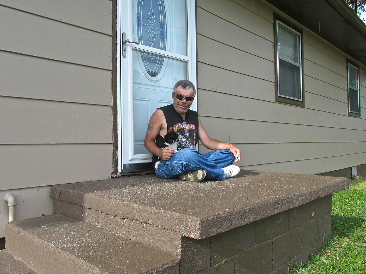
Unfortunately you cannot see her very well in this picture but Bella is sitting on Bill’s right leg.
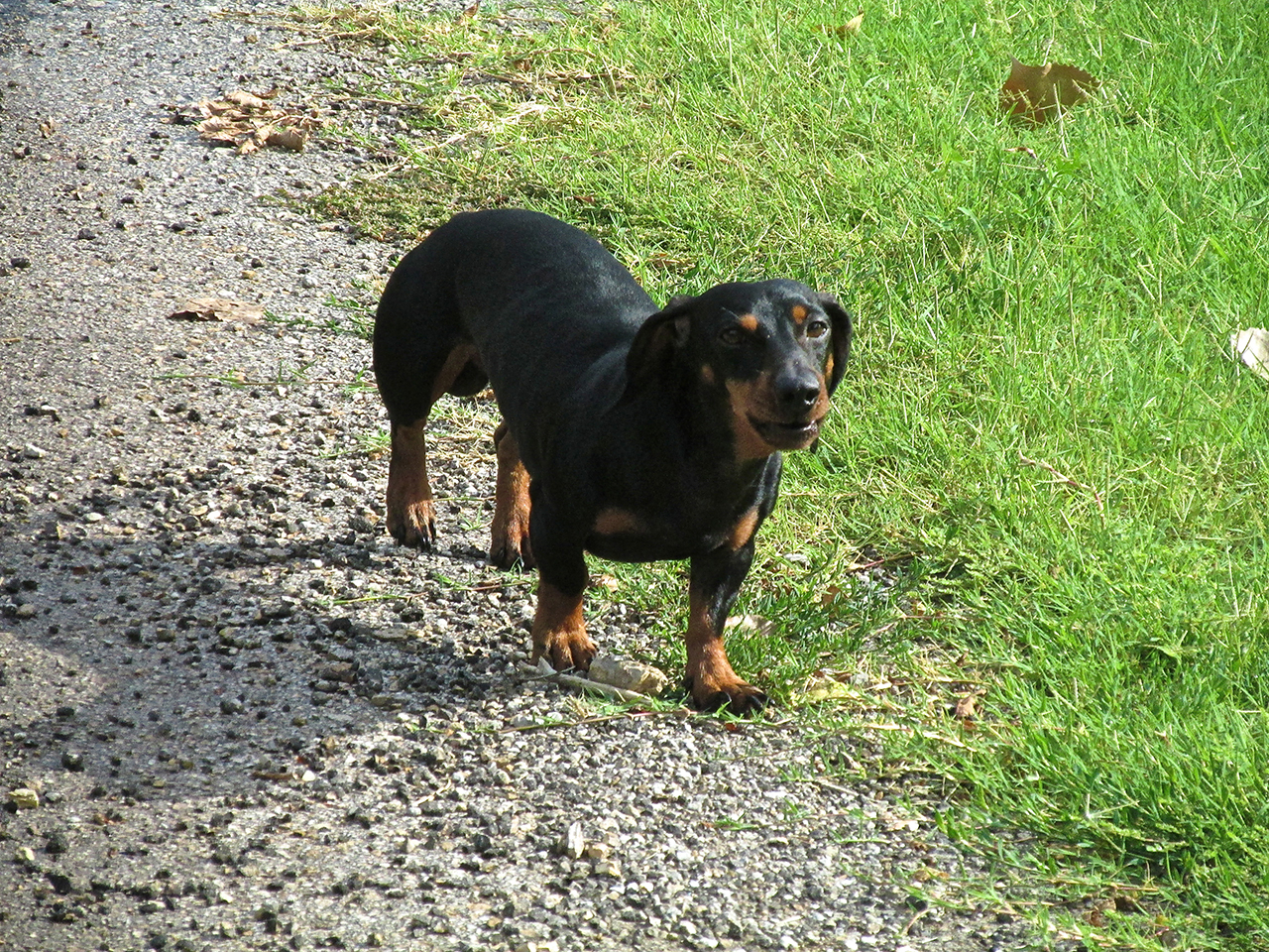
A Town Greeter
A couple of blocks later I was told to “move along” by the dachshund seen below. He was not impressed with my journalistic mission but only interested in performing his job of keeping strangers away from the Home of His People. I appreciate that, paid my respects and moved quickly away.
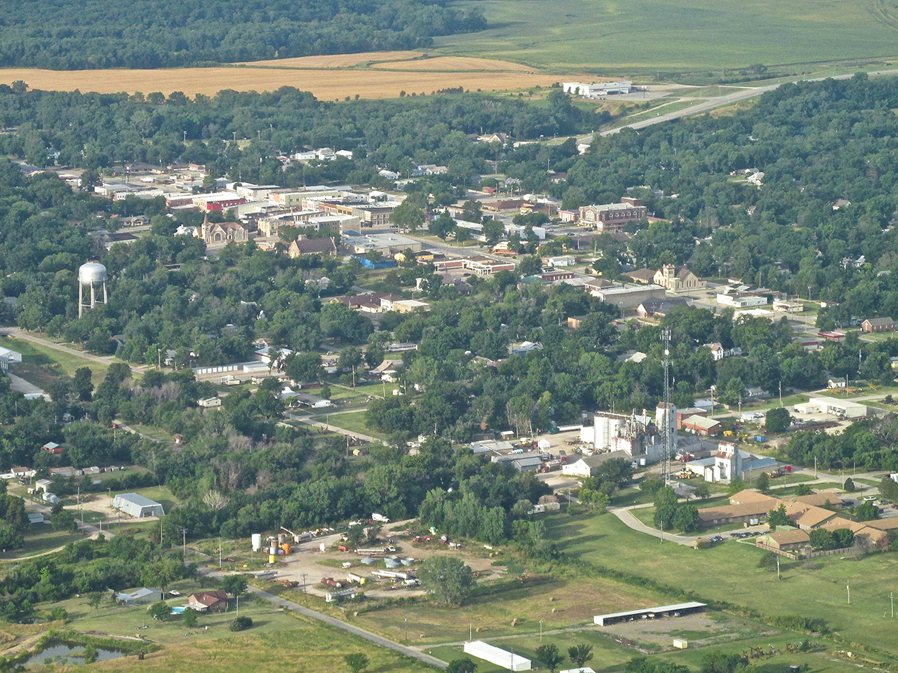
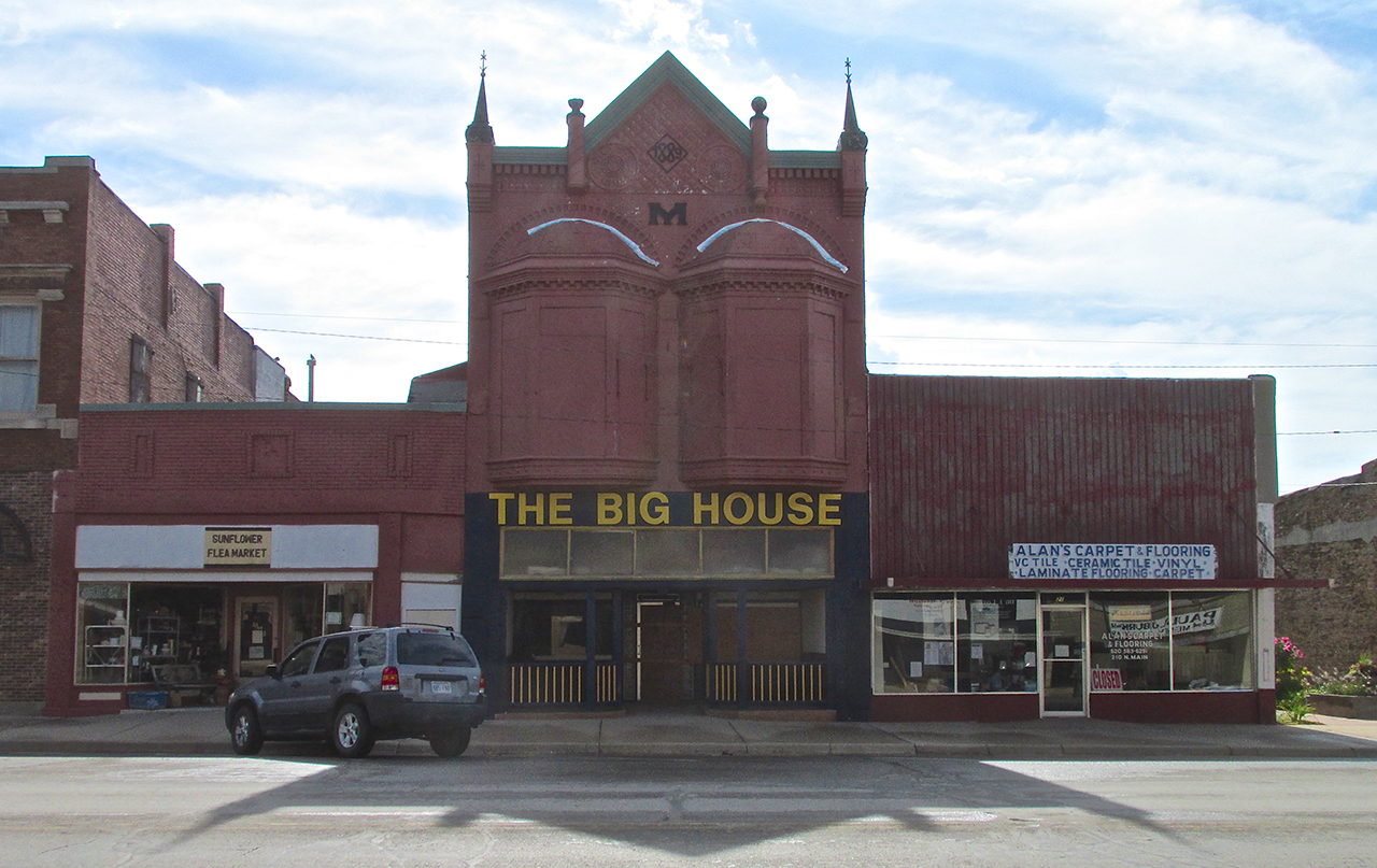
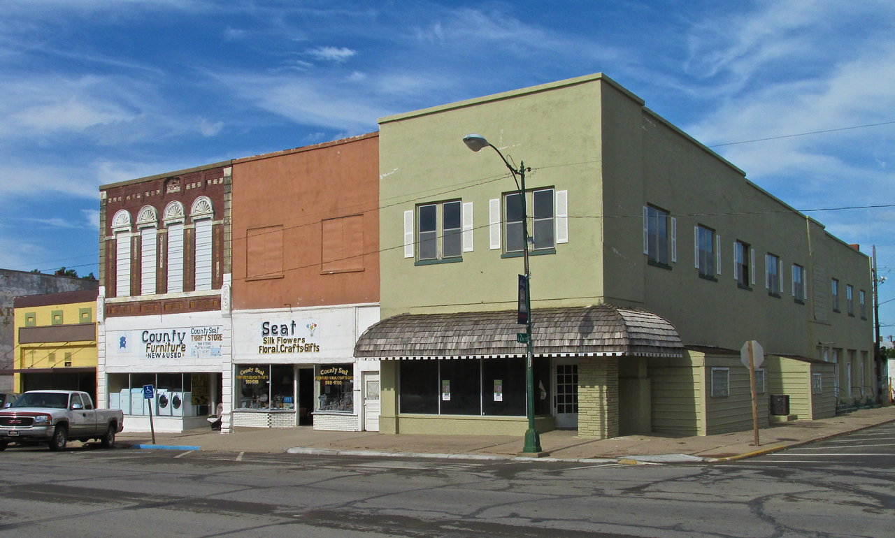
Main Street Eureka
Plenty of buildings made of my favorites: Stone and Brick!
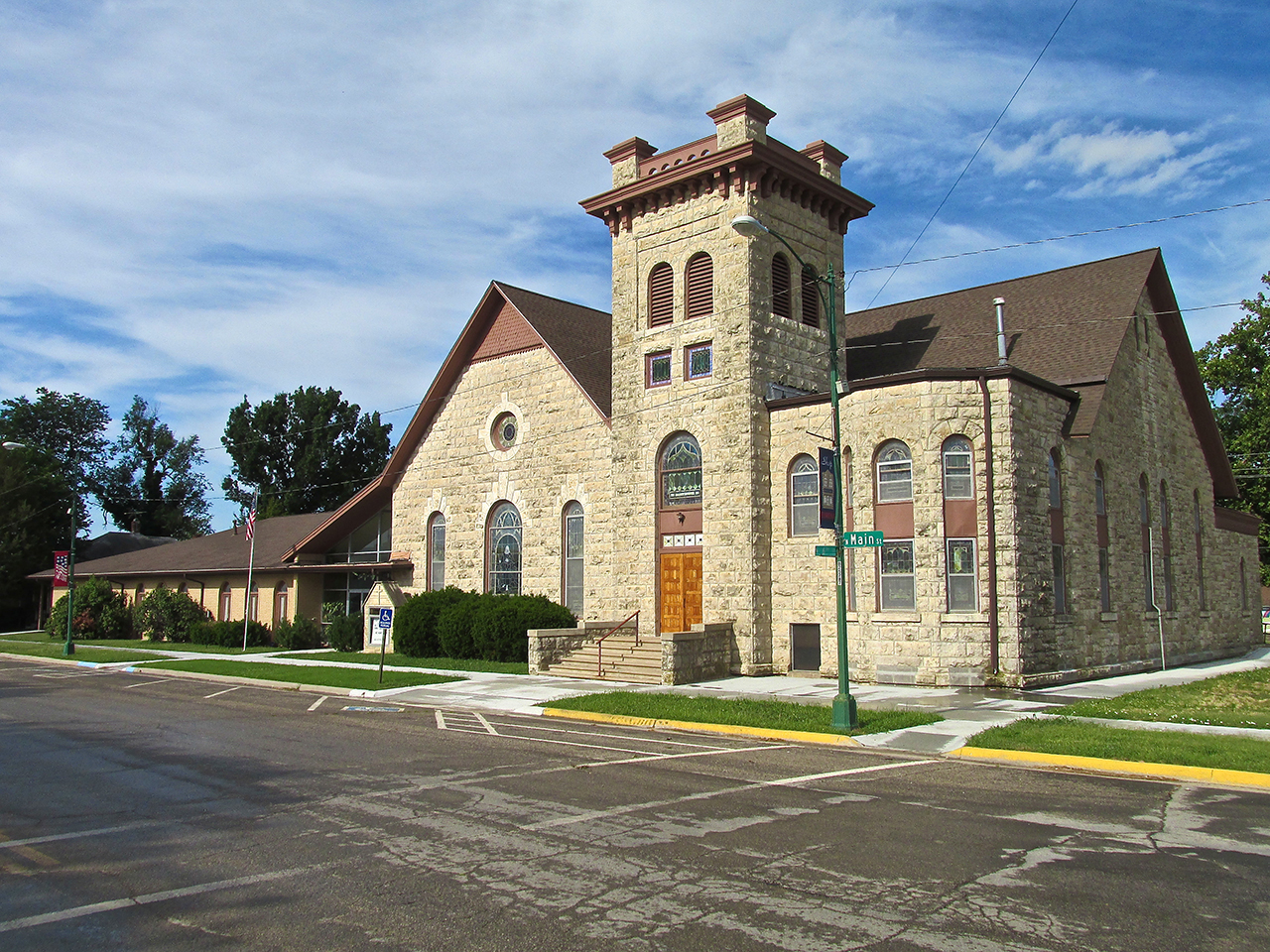
The United Methodist Church
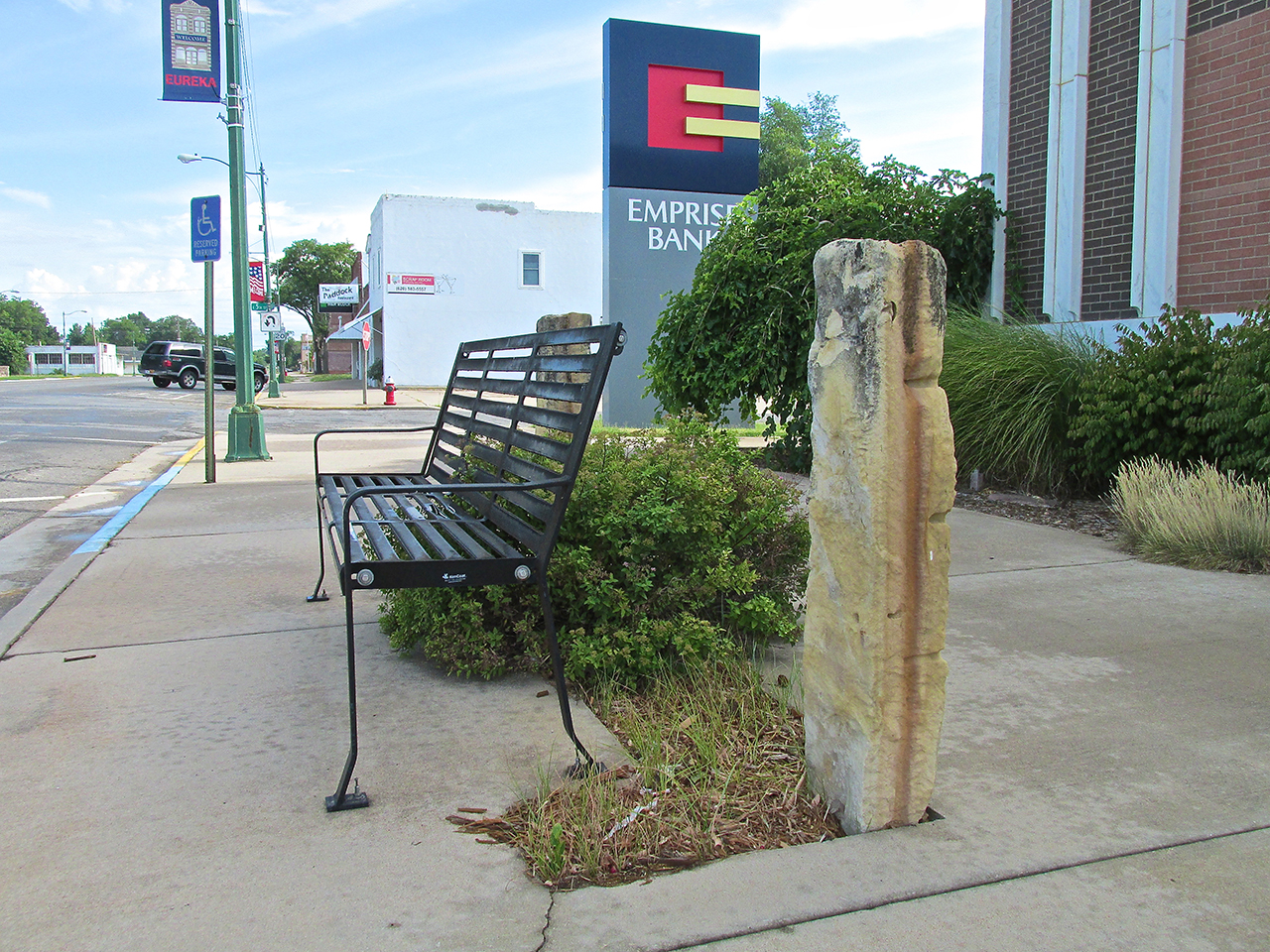
I like this Post Rock embellished bench Emprise Bank put on Main Street.
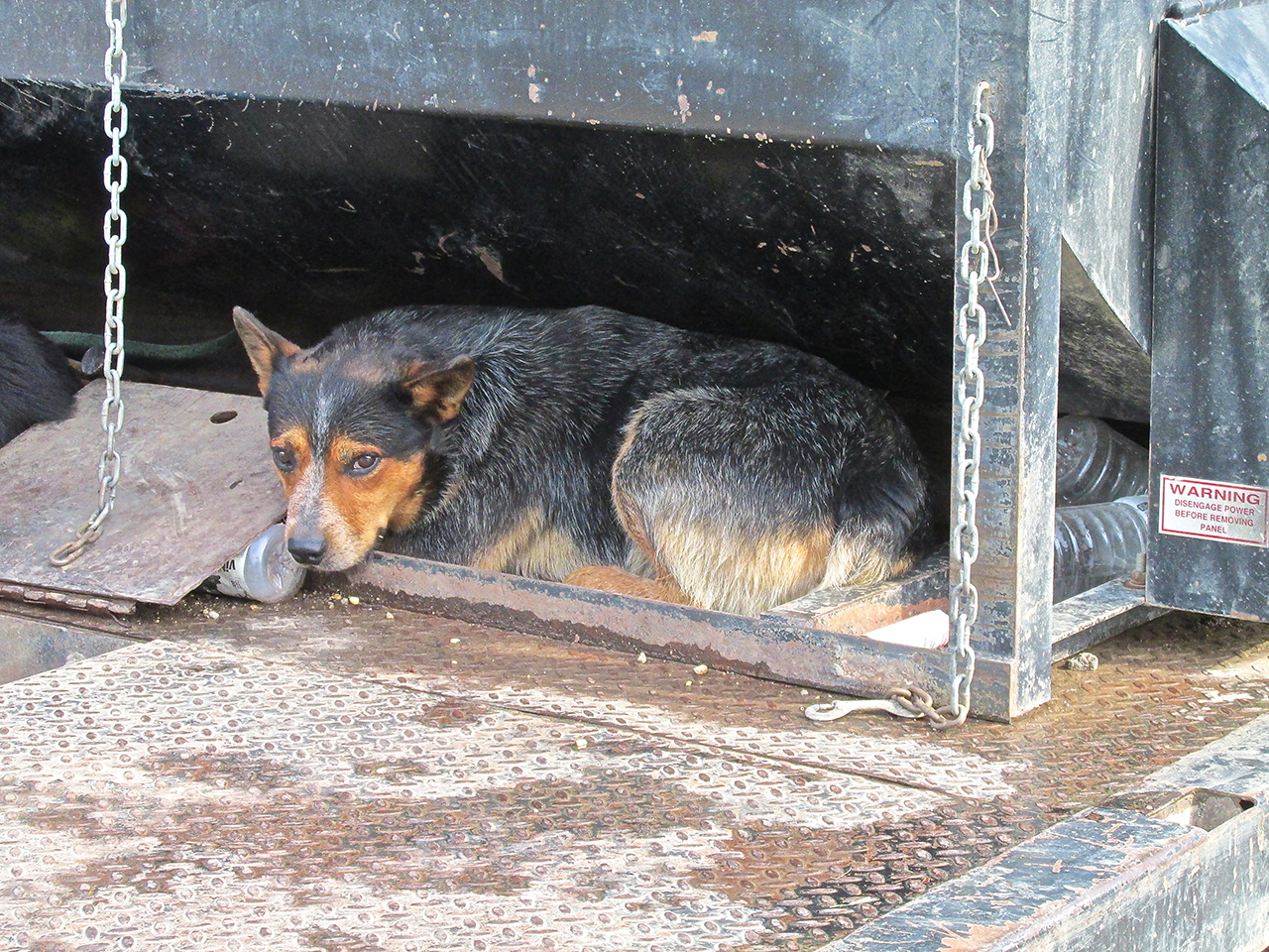
Some Do – Some Don’t
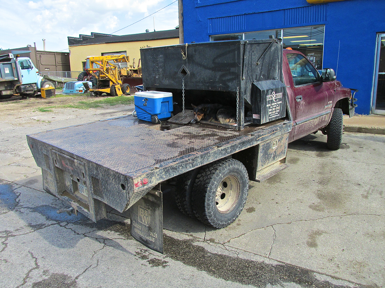
As I passed this work truck I happened to notice this dog occupying his place on the flat bed. Unlike the dachshund, he didn’t mind me at all.
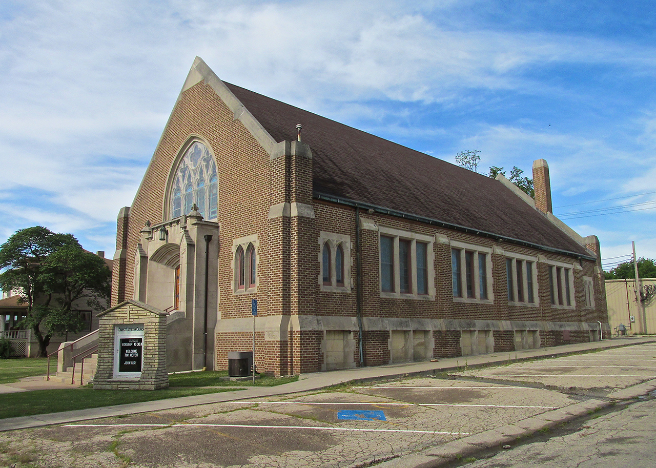
Christ Lutheran Church
This building looks to be from the 1950’s. The pumpjack out front is used on oil wells that are recovering oil relatively close to the surface.
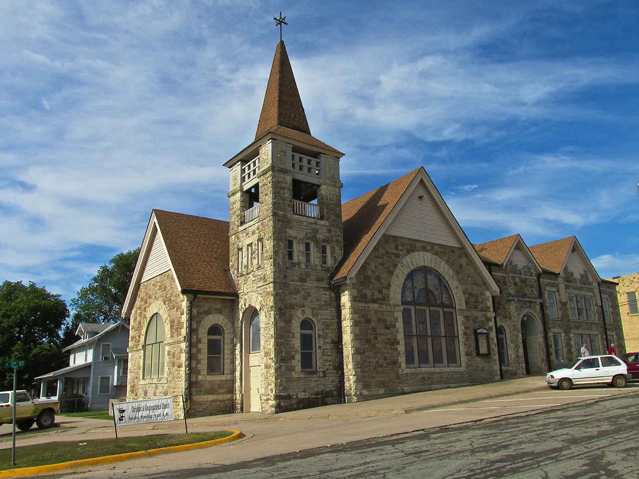
Christian and Congregational Church
The Greenwood Hotel
A decade was spent restoring this fine old edifice. You can read more about it on their website HERE.

The Greenwood Hotel
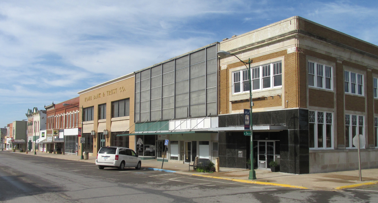
The West Side of Main Street at 3rd

The East Side of Main Street at 3rd
The date shown near the crest of this building is 1889.
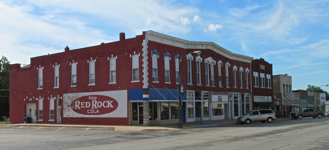
I have never heard of Red Rock Cola but this sign made me think I better try some.
Espresso Creations
Before setting out on my pre-dawn missions, I have found it wise not to drink my otherwise typical four or five cups of coffee in the morning. Having learned this lesson the hard way, suffice to say it complicates a flight having to “pull off the road”. On the other hand, when one drinks as much coffee every morning as I do, one finds one must continue that mode else – quite often – headaches erupt later in the day (more on this in the Caldwell Story). I was reminded of that potential when I saw the inviting entrance below. Wanting to forestall the possibility of an “icepick-like” cranial sensation later in the day, I decided Espresso would be just the thing.
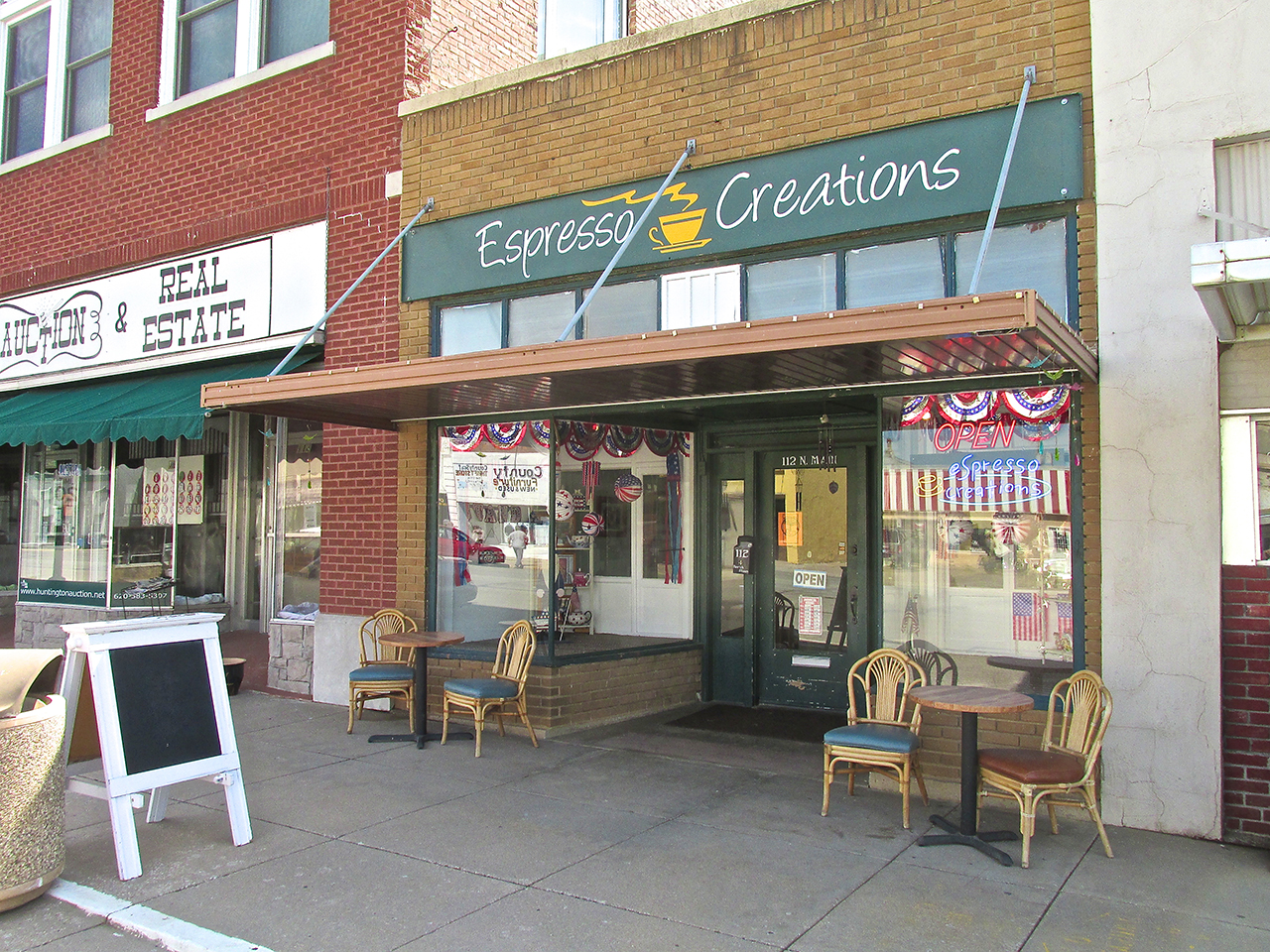
Inside I met Proprietor J. D. Anderson. Espresso Creations was the idea of his wife Kimberli who runs it through the week. On Saturdays, J.D., who owns a commercial roofing business takes over to give her some time off.
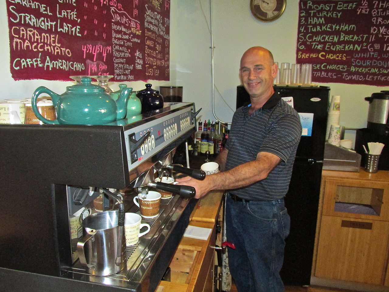
J.D. serves one of several customers who dropped in while I was there.
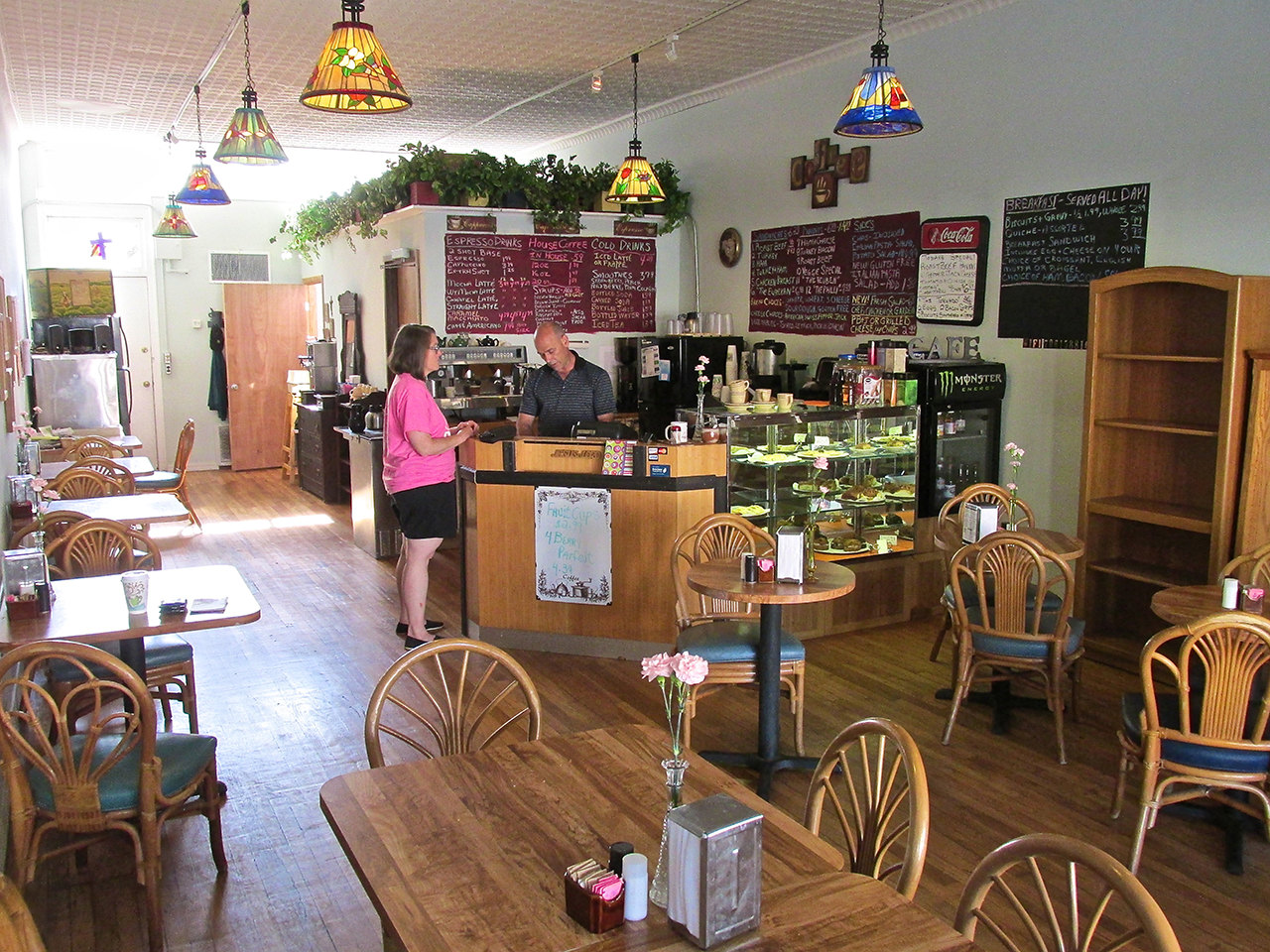
Very Pleasant
In addition to serving fine coffee, Espresso Creations offers bakery items you can see in the counter display above. Kimberli is the baker and she is quite accomplished. I enjoyed a couple of bakery items with my coffee. Kimberli has been developing some “gluten free” recipes that J.D. said are very tricky to master. Flour without gluten tends to lose its “rise” after baking and devolve into a flat “thing” instead of a fluffy bread or pastry. Apparently she is ready for her diploma because the one I tried tasted quite good, had volume and passed the “crumble” test. I definitely suggest you stop by the Anderson’s place when you visit Eureka.
J.D. and Kimberli had moved to Eureka from California. Since I, too, had immigrated to Kansas from there in the 1980’s, we discussed California for a good while. While he was serving a customer I surveyed the surroundings and happened to see the time on his wall clock. I had lost track of time and needed to head back to the airport so I could get to the Fly-In at Douglass. I bid J.D. farewell and commenced hiking back to the airfield taking more pictures along the way.
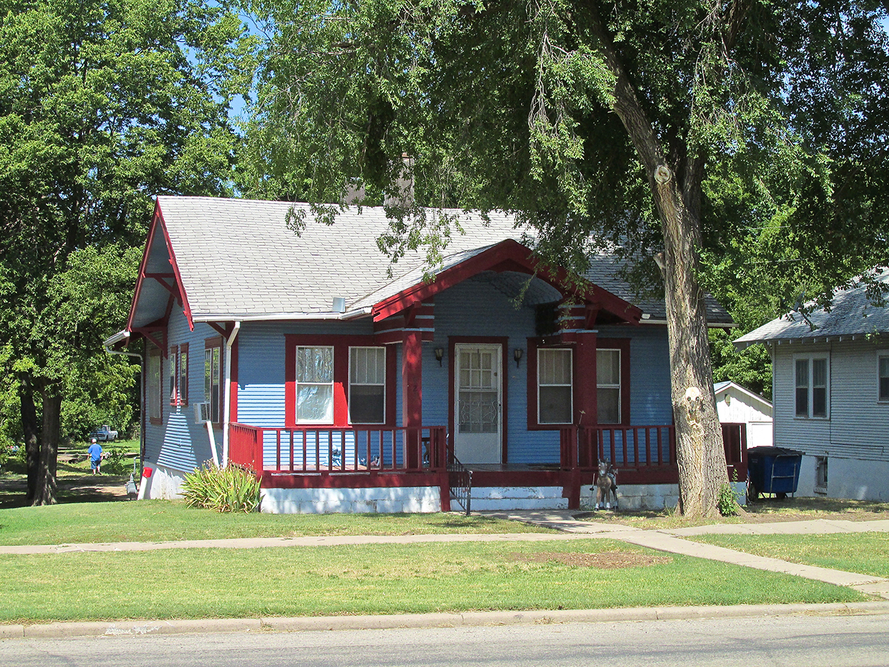
Nice Paint Choice!
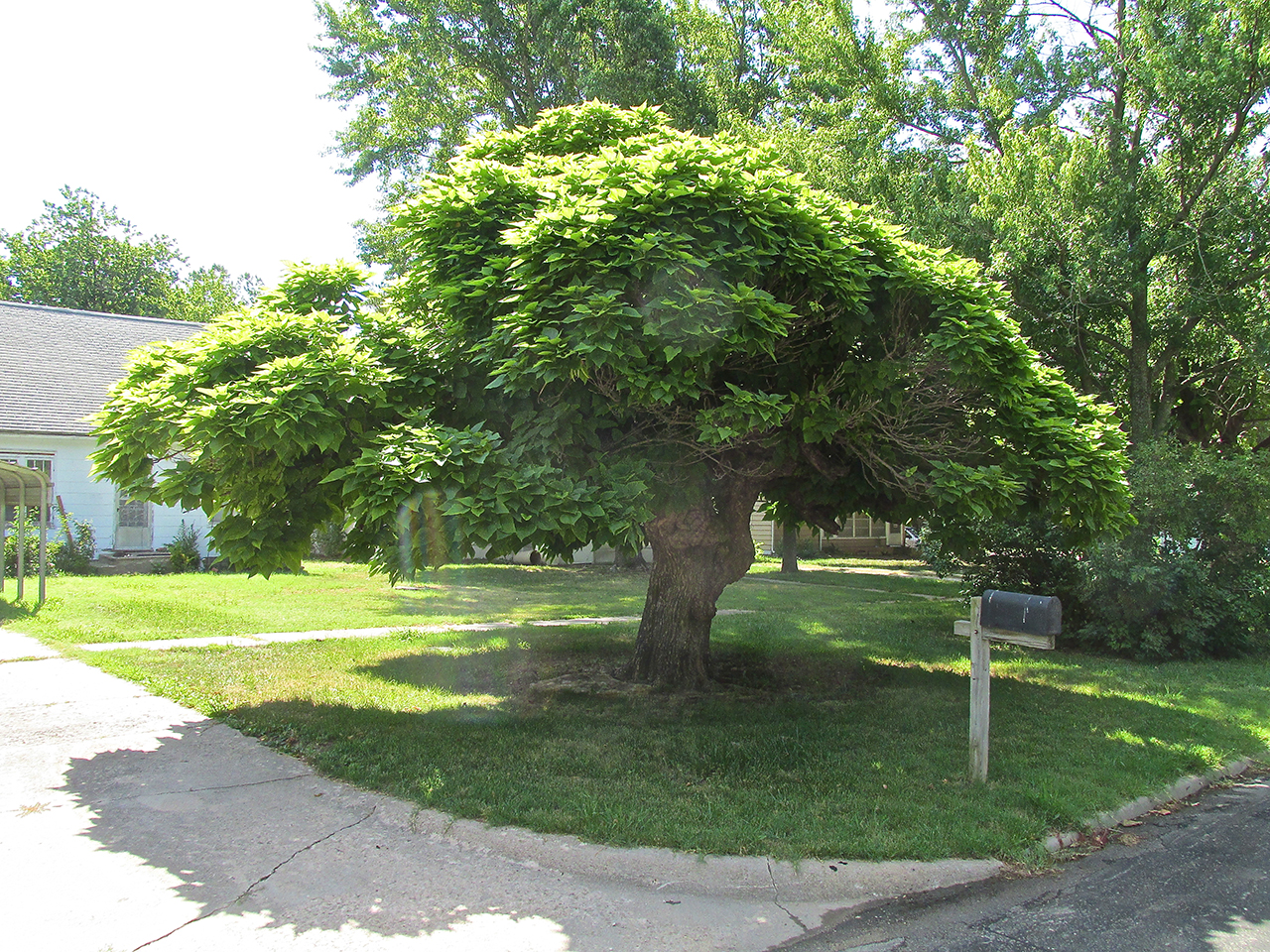
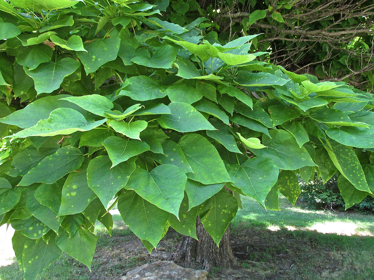
Unique Tree
I took a different path on my return to the airport. I saw a tree like none I have seen in Kansas before.
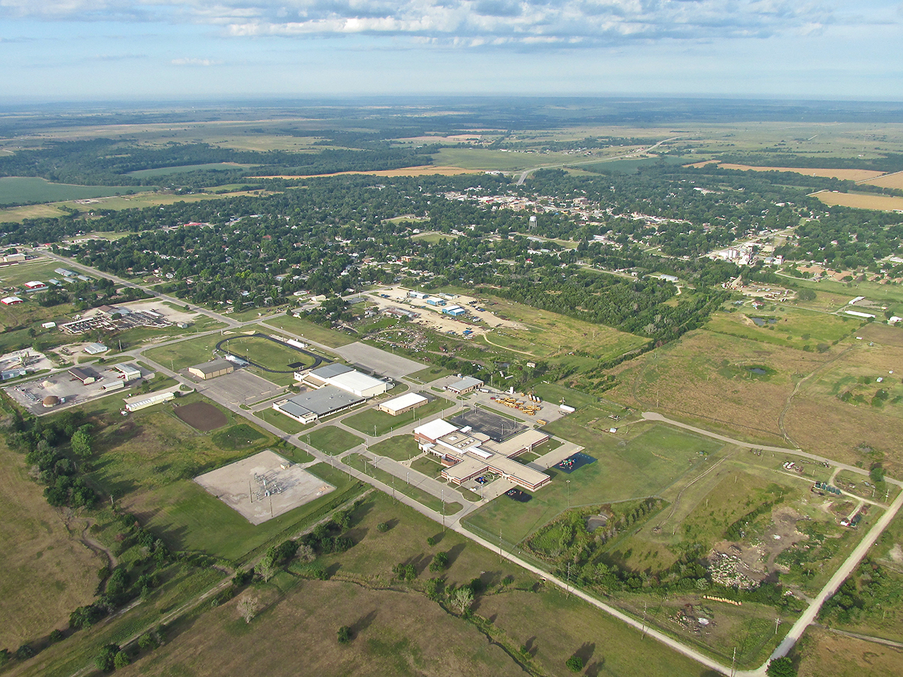
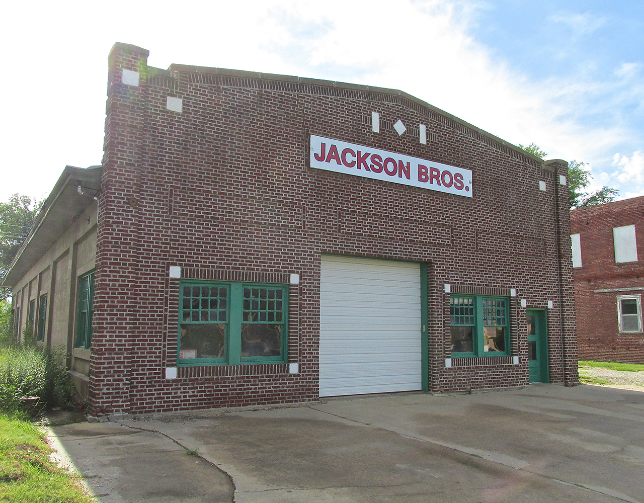
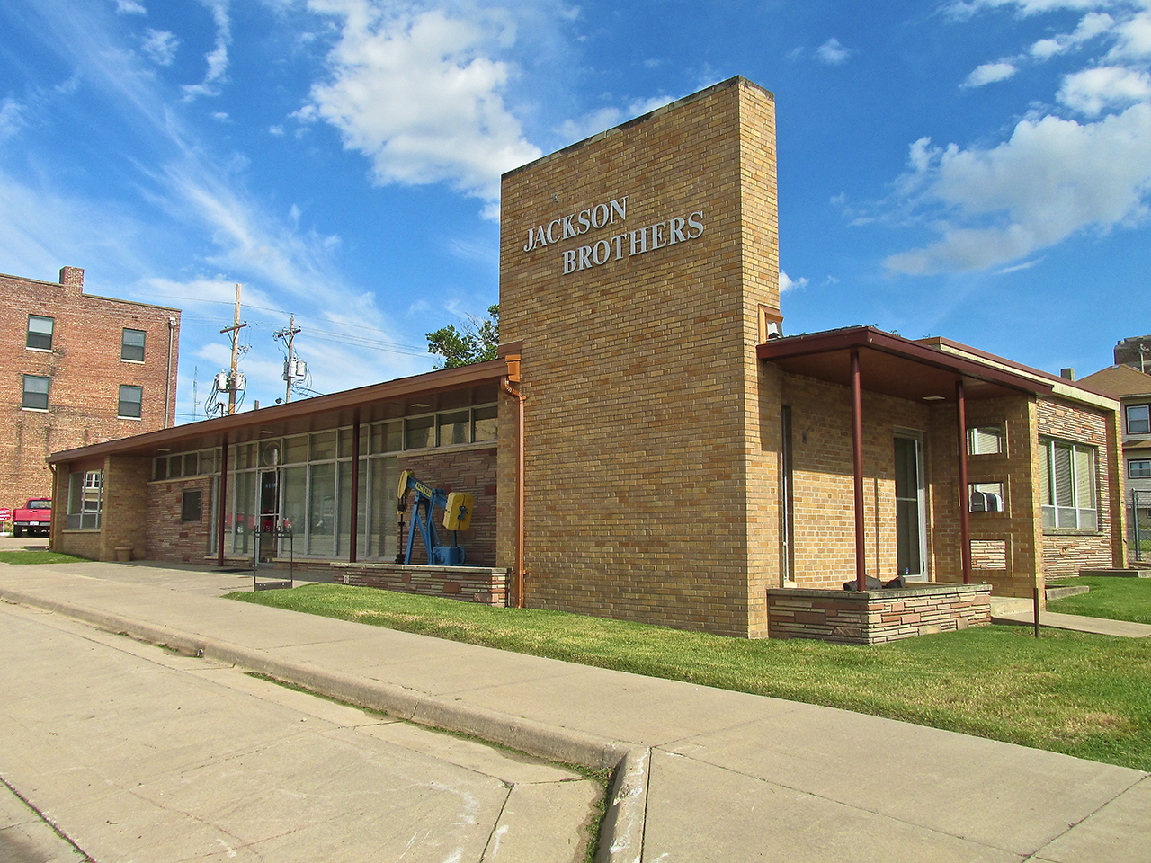
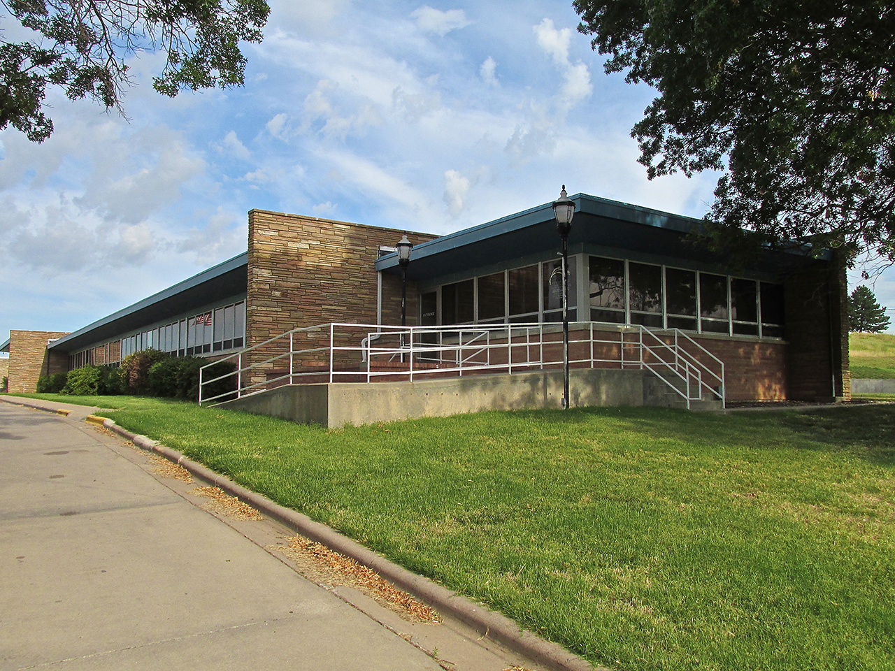
The hospital is not far from the water towers I pictured earlier. It has architecture reminiscent of the Jackson Brothers Oil Company building I showed earlier that looks to be 50’s vintage.
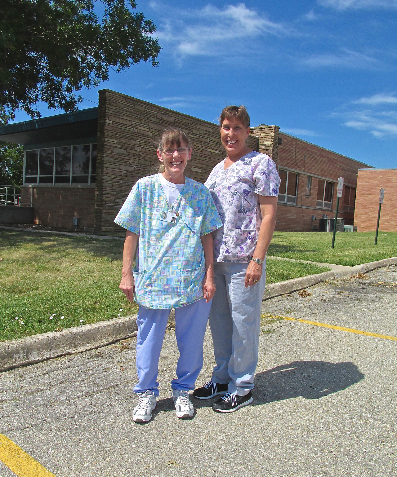
Breaktime
Taking a break in the fresh morning air were Lifetime Buddies Kerry More (l) and Deana Gaines (r). Kerry was born less than 40 miles away in Emporia while Deana was born right here at the Greenwood County Hospital. They have known each other all their lives. This is a bond you don’t normally find in large cities.
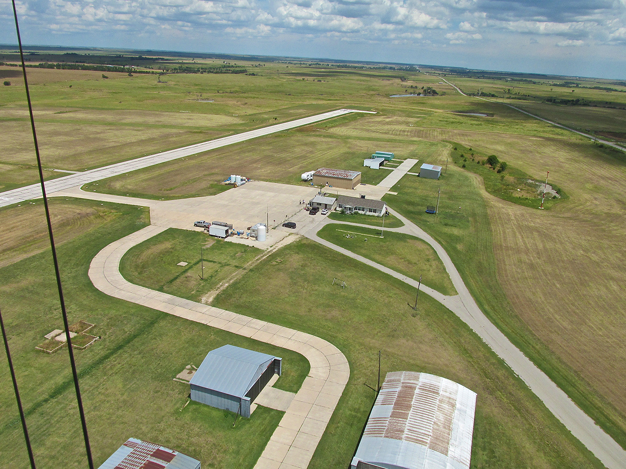
Time To Fuel Up And Continue The Journey
After walking back to the airport from town I was greeted by one of the dogs who live with the Airport Operators. His name, I would soon find out, was “Coco” and his bark alerted Airport Manager Larry Dutton to my approach.
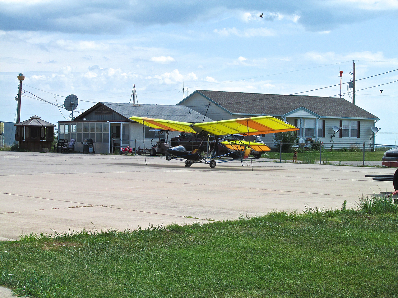
Just to the right and behind of my Quicksilver you can see “Coco” doing his job.
Aviation Heritage
It was quite warm at the time and after welcoming me and introducing himself, Larry invited me in to the airport lounge where the air conditioner was blowing cold. He mentioned that they would have been happy to drive me into town or let me use the loaner car but they hadn’t even heard me fly in earlier that morning. I appreciated his concern but put his mind at ease by explaining that the walk is part of my “Ultralight Flight Adventure and Immersion Photo Journalism”. I wouldn’t have turned down a ride but I had no intention of waking them early on a Saturday morning regardless. I asked him about the photos and plaques on his office wall.
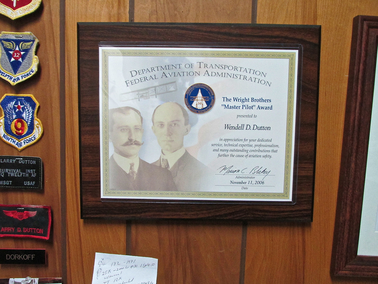
I discovered that both Larry and his wife Debbie had retired from The United States Air Force and that Larry had been a Survival Instructor. Larry is also a Third Generation Aviator and in addition to managing the Miliken Airport, flies for Captain D Aviation checking the pipelines in the region for integrity. His Grandfather sold J-3’s in the late 1930’s when they could be had for $1995 each. His Father, Wendell was an Air Force Pilot and recipient of the FAA “Master Pilot Award” presented for diligent promotion of aviation and safe flying. He later went on to be a Captain in the Wichita Police Department. More about Wendell Dutton HERE.

Larry points to the coveted “Master Pilot Award” that was presented to his Father in 2004.

An example of the logo Larry had designed for his Dad in recognition of his Aviation Achievements adorns the entry door to the main hangar.
An Unexpected Gift
Earlier when assuring Larry I had been perfectly happy walking into town, I did admit I was not happy with myself for neglecting to bring a hat along as is my custom on these trips. After I fueled up the MXL, Larry suddenly presented me with the newest addition to my collection – a cap decorated with the Wendell Dutton Logo and “N” number N4860Z. This was the number of the Piper Colt in which Larry and his Dad spent many a joyful hour together aviating. I am very thankful to have been given this.
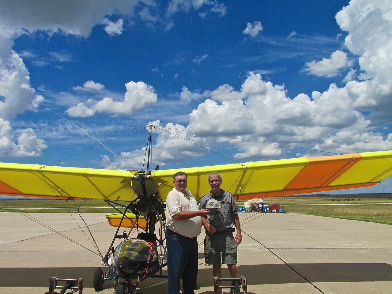
Debbie Dutton captured the moment.
Eureka, Kansas USA
A couple years ago a committee of citizens of Eureka commissioned Country Singer Jared Pete Gile to write a song about their fair town. Debbie Dutton produced a music video featuring pictures taken around town, at the airport and of the town seen from the air. It is quite good and can be seen HERE.
Just as I was about to start the motor, two young ladies emerged from the house with two dogs. Grand-daughters Heidi and Miracle have been spending time this Summer with Larry and Debbie. They looked out the window and saw some action and came out to investigate. A perfect photo op for The Sky Surfer and a nice way to close a pleasant visit.
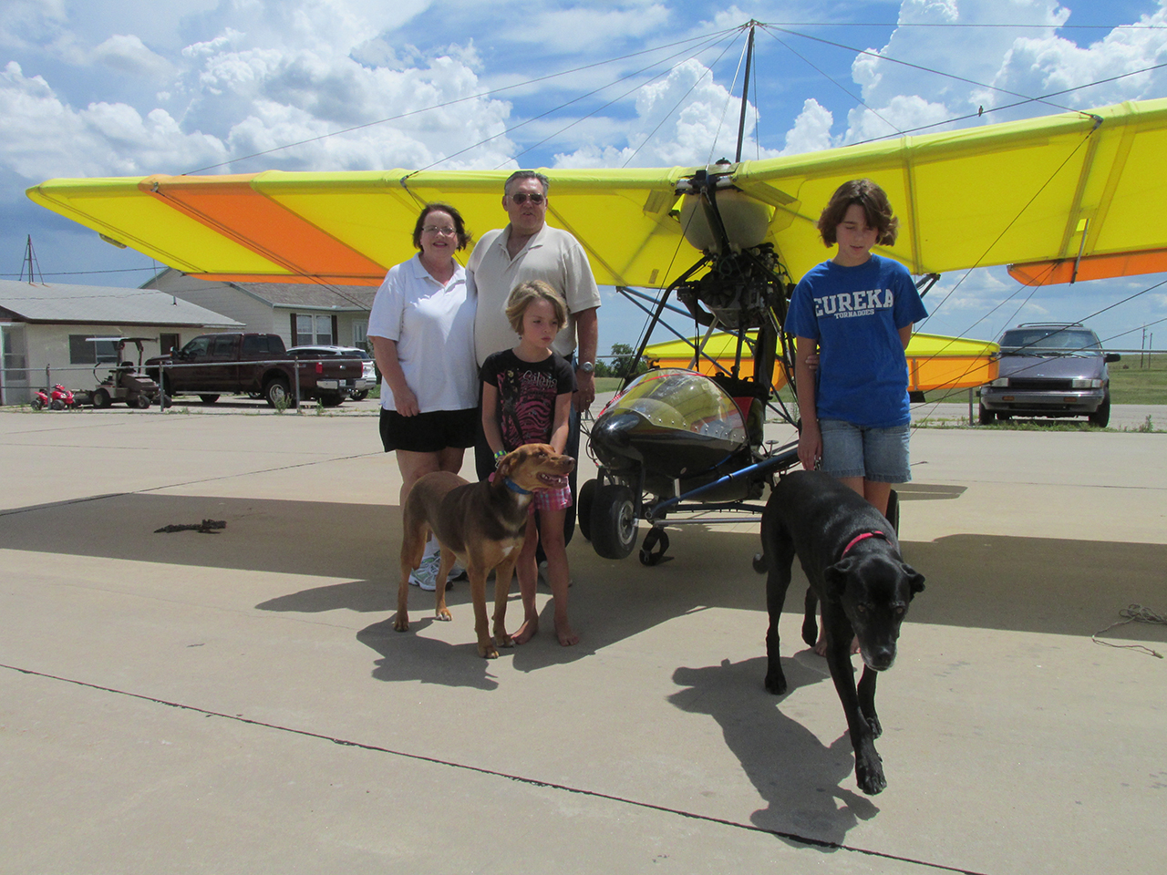
On our first try, “Bear” The Dog didn’t understand the drill…
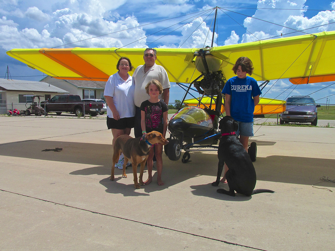
We tried again. Here’s Debbie, Larry, Heidi, “Coco”, Miracle and “Bear” backed by my Quicksilver and a magnificent Kansas Sky.
I took to the air, waved goodbye and grabbed this picture under my left wing before heading Southwest.
Brighter Now
Because the clouds had broken up a bit there was now better lighting on Eureka than when I had arrived early that morning. I figured that called for a few more aerials as I left the area.
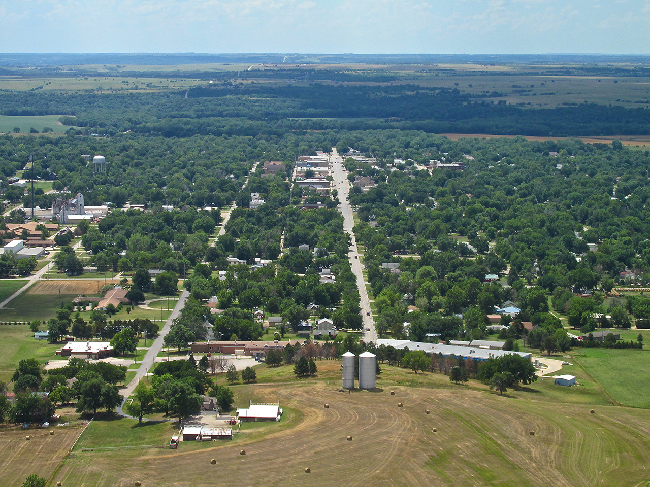
Looking down Main Street Eureka with the water towers in the fore. I am at 1,000′ AGL looking South.
Looking East Southeast from 1,000′ AGL
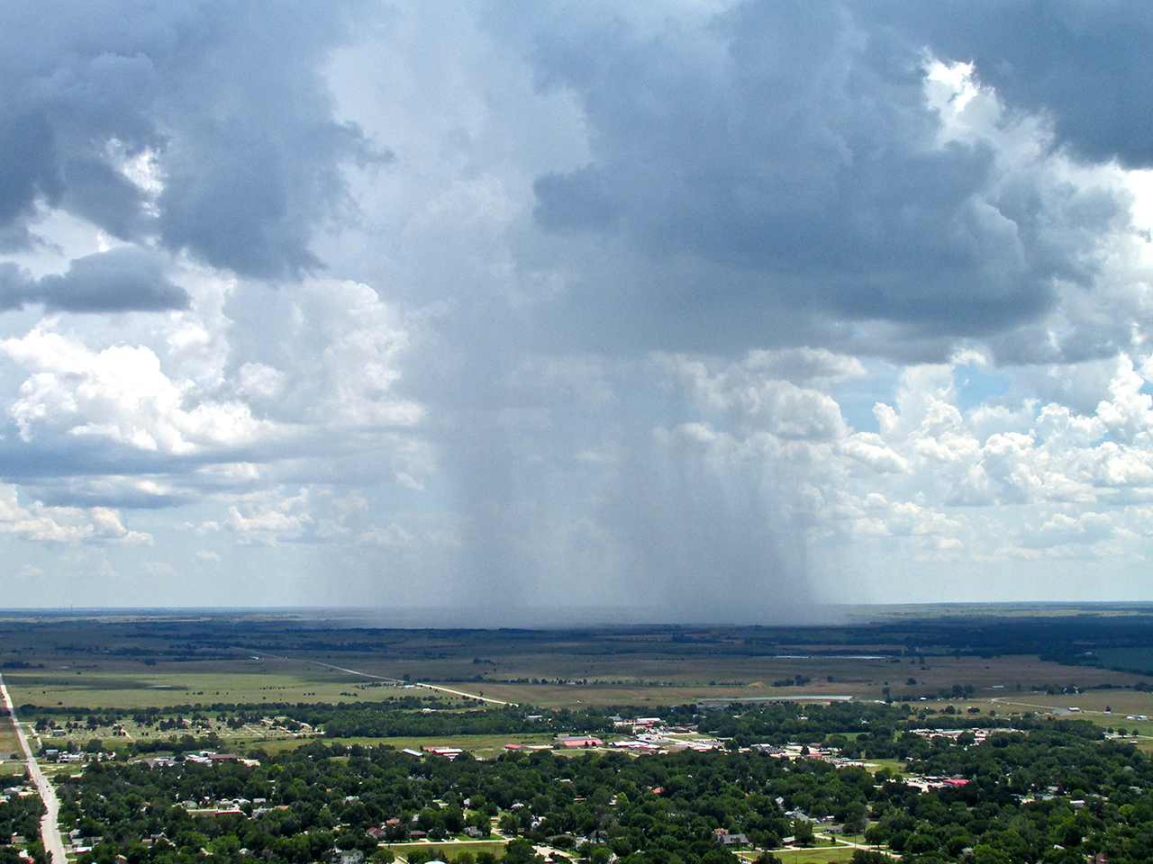
Concentration
After clearing the area for potential air traffic, right after takeoff my attention was on getting a few shots of Eureka. I was focused like a laser beam. Suddenly, as if it jumped out of the ground, I noticed the rain to the East. In my story regarding my Flight to Pawnee, Oklahoma earlier this Summer, I wrote extensively about “Scattered Showers” and my perception of that term. I won’t go into it again but below are some perfect examples showing the advantage one has to see this weather phenomenon from the air.
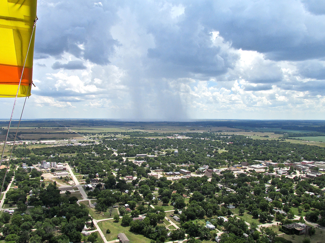
A “Rain Shaft” off my left wing a few miles East of Eureka.
Headwinds Galore!
One of my Family’s all-time favorite movies is “The Princess Bride“. One of my many favorite characters in it is Spanish Fencing Master Inigo Montoya. Not being a native speaker of English, Inigo uses the word “galore” in an interesting manner during the movie. Every time I hear or think of that word since watching the movie is with Montoya in mind.
I left Eureka about 1:30 pm. The wind was 10 mph gusting to 20 straight out of the South. This made it a quartering headwind for me. Although not particularly strong, it nonetheless represented a “slowdown” of my forward movement. Unlike early in the morning when winds aloft can pass over the surface leaving it fairly calm, once the day gets going and the sun warms the earth the wind is present at all levels. I knew this would be the case but tried a variety of altitudes anyway to see if one was better than the other. At the beginning of the flight all altitudes had the same negative resistence.

After flying at 600′ AGL for about 15 miles I saw the windmills South of Beaumont, Kansas on the horizon.
While cruising at a lower altitude, I came to an area where I had to climb up this stretch you see ahead.
I am approaching the crest. This is from 100′ AGL looking Southwest.
Upon crossing over the rise this grandeur is revealed. I am at 50′ AGL. This is looking West.
A Ranch due North of Beaumont, Kansas. I saw no one about.
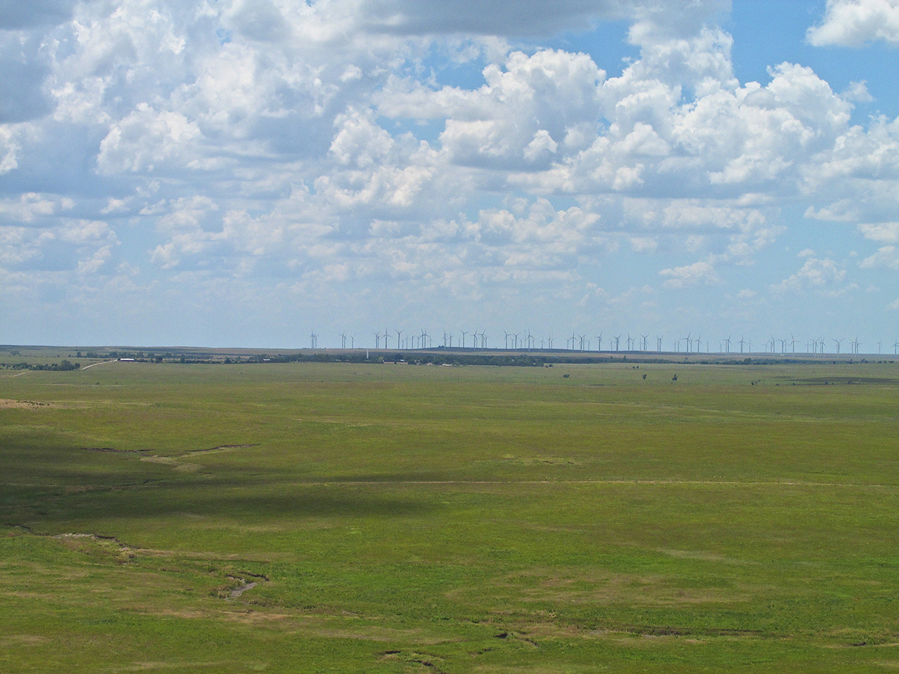
I employed the telephoto lens to see Beaumont, Kansas in the foreground with the Wind Generator Field behind. I am at 100′ AGL looking South.
The wide shot from the same position as above.

Flying at 75′ AGL, I came upon a ridge that would require some “Altitude Adjustment”.

I like the way many of these ridges are crowned with white stones.
This Ranch was wisely built in a hollow to protect it from high winds.
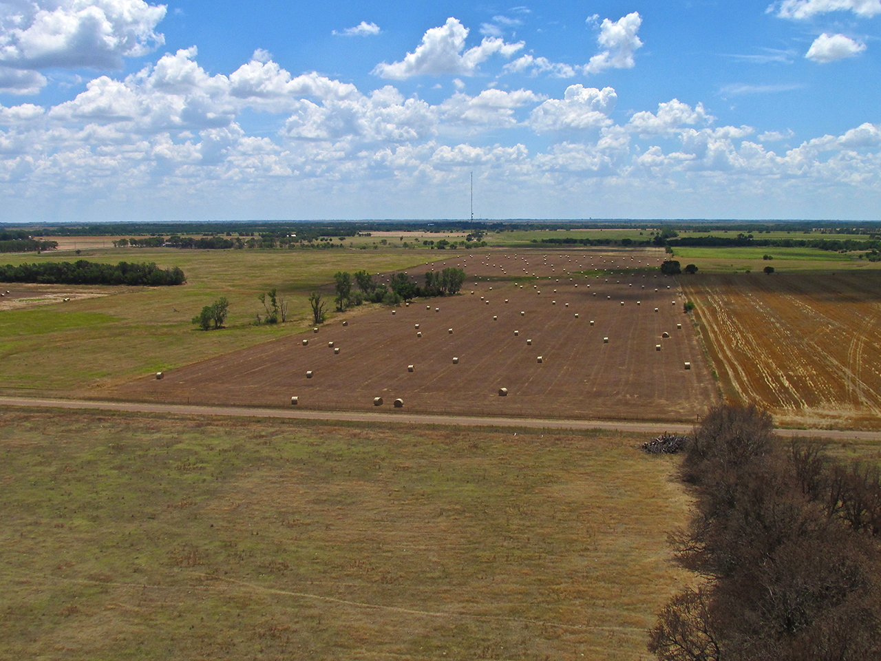
The sun was in a perfect position to accentuate the round bales sprinkled across the field.
Signs Of Douglass
I had flown for about an hour and a half. During the last hour or so I noticed a slightly lower headwind down low so I maintained Ultralight Flight Level 75 on my approach to Douglass, Kansas. Douglass is in a pretty flat area but the water tower, which is adjacent to Alley Field is on a hill. That is the marker for aviators. I finally spotted it and you can see it in the photo below toward the center on the horizon.
Douglass In The Distance
A Telephoto of The Marker.
Choppy Air
The air was quite choppy as I entered the pattern. Regardless of the wind, it is a good idea to be scanning for traffic when entering a pattern so I didn’t take a picture of the airfield before landing.
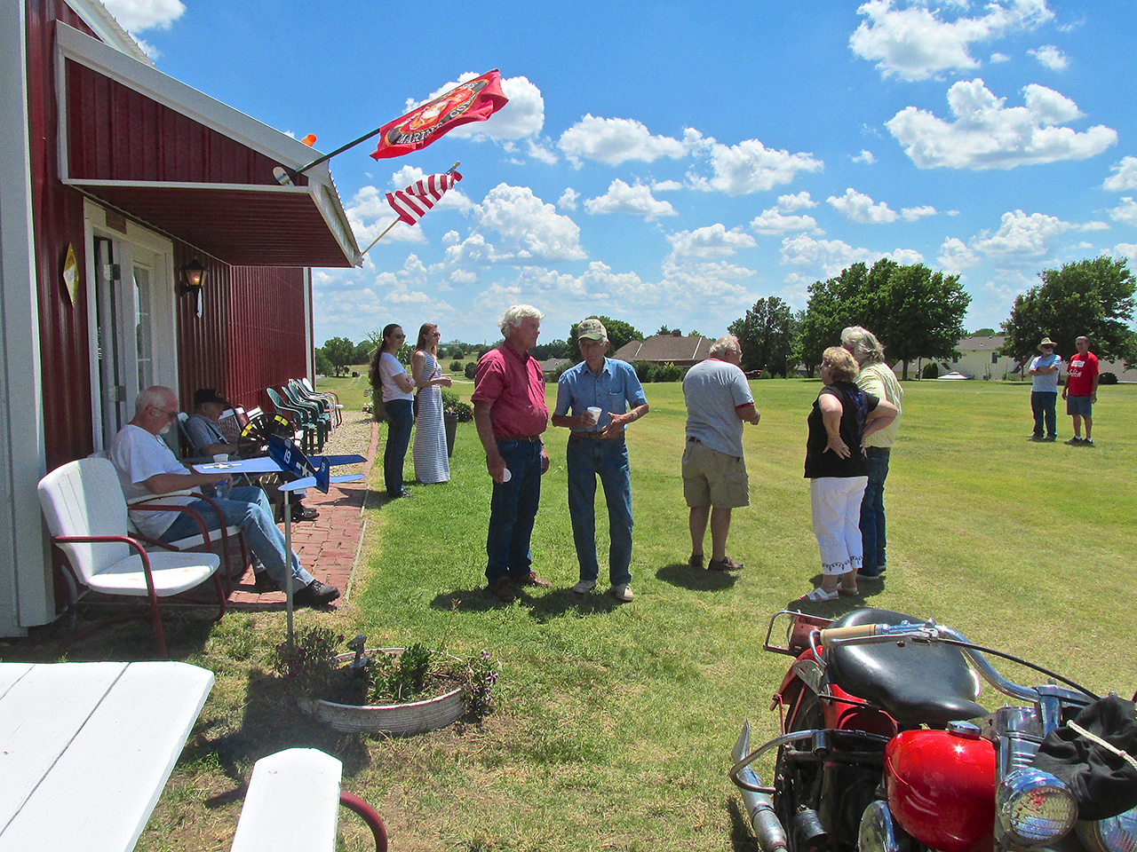
As I rolled uphill after landing I took this picture of folks milling around the hangar.
As I was taxiing Terry Alley made a pass down the field in his Champ. I wasn’t ready to “de-plane” yet so I turned around, took off and circled in the pattern with him a few times.
Terry Alley in the Champ on final approach.
Captain Doug and Sabrina Moler were there with their Cessna 150.
One More Stop
It was mid afternoon and by the time I got there the Fly-In was pretty much “flown out”. Most of the planes that had come in had already left and three more split while I was there. So I saddled up and headed once more into the wind. Earlier in the Summer, Maggie Morris said she might be having a get-together this same day at River Rock Ranch, South of Douglass 8 miles. I headed over there to see if anything was going on.
On the East side of Hwy 77 two miles South of Douglass is Pilot Pointe a residential airpark.
Arriving over River Rock, I didn’t see any action so I turned right to see if anything was shakin’ at Cherokee Strip.
Things were quiet on The Strip so I breezed on by the North end and headed back to base.
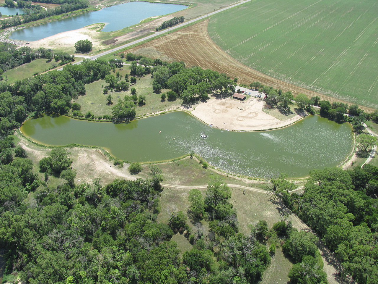
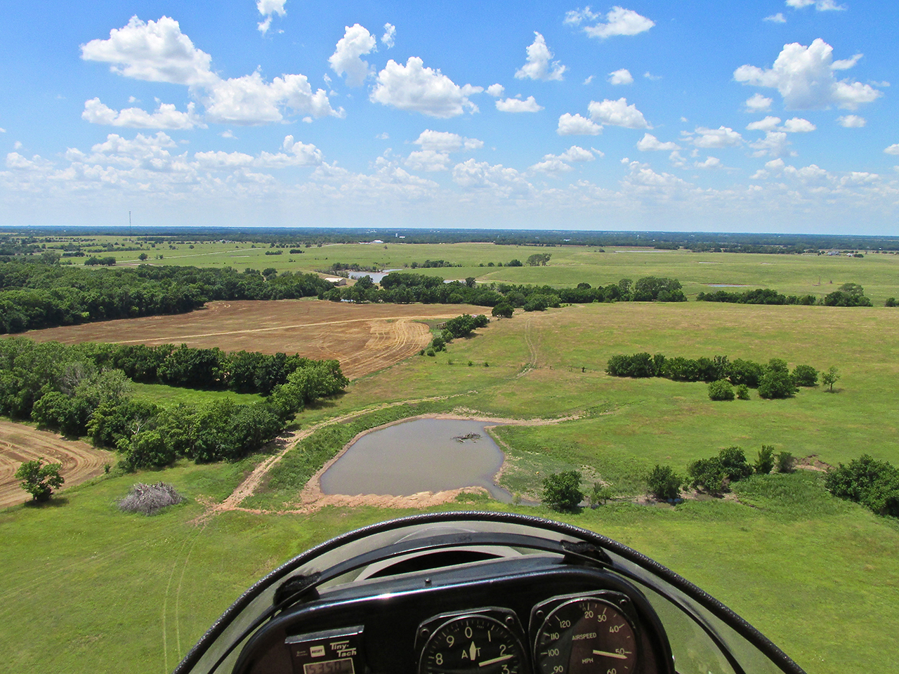
This swimming lake is West of Mulvane, Kansas almost on the bank of the Arkansas River.
Circular Reasoning
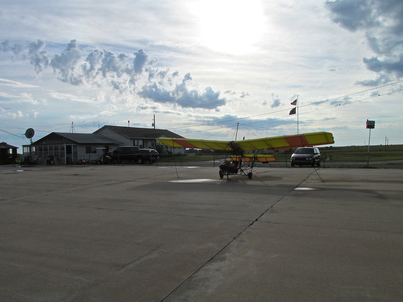
Some stories, like some airplane flights, are best when they end up at the same place they started. It was particularly windy when I arrived back at Selby Aerodrome. Because none of my hangar mates were around, the hangar door for my hangar was closed. Because I didn’t want the Quicksilver to walk off without me while opening the door, I taxied into the “wind shadow” behind the Quonset Hut Hangar to the South.
I took the picture below to “close the loop” with the morning shot. Even though I am located 30 yards away, don’t have my “robber goggles” on, have a new hat, am now sunburned and the wind is gusting to 26 mph – it’s close enough.
My next Fun Flight will be to Yates Center, Kansas.
See you then!
Blue Skies & Tailwinds!
Brian FitzGerald
This is incredible!
Thanks for sharing
Dear Kevin,
I’m glad you liked it. I have another one in the can I will be writing next week that has some great stuff, too: Yates Center.
Later,
Brian
Hey Brian…
This story and photos are pretty cool… I especially liked the train shot… and the green open prairie I guess you would call it… Red Rock Cola? Hmmm… I’m always take photos of old buildings myself… keeping an eye out for some strange architectural twist or fashion style of yesteryear…
Good stuff Brian…
~Bruce
Dear Bruce,
From a California expatriate to a California patriate…
Glad you liked it.
There are places like this all over California, too.
You just have to look for them.
Later,
Brian
Very good—–I sent this one to Lauren and she also sent it to her folks in Eureka. They really liked it.
Dear Coach,
Excellent! Please circulate it to anyone and everyone.
Later,
Brian