The Chisholm Trail
One of the great delights of flying around this region is the opportunity to visit places of historical import. Before Hollywood (for the most part) turned its back on Traditional American Values, “The Old West” was prime material for its image mill. Those were the times of my youth. “Westerns”, as they were called, dominated television and movies. During this time, Hollywood fashioned the cowboy of the old west into a mythical icon representing Truth, Justice and The American Way. Roy Rogers, Will Rogers, Paladin, The Lone Ranger, John Wayne, Broncho Billy, Chuck Connors, Clint Walker, Gary Cooper, Gene Autry, Glenn Ford, The Great James Garner, James Arness, Joel McCrae, Lash LaRue, Randolph Scott, Richard Boone, Slim Pickens, Tex Ritter, Tom Mix, The Cartwrights, Steve McQueen – and this is just a short list! They weren’t always the guy you wanted your Daughter to bring home for supper but they all “did the right thing” by the end of the show.
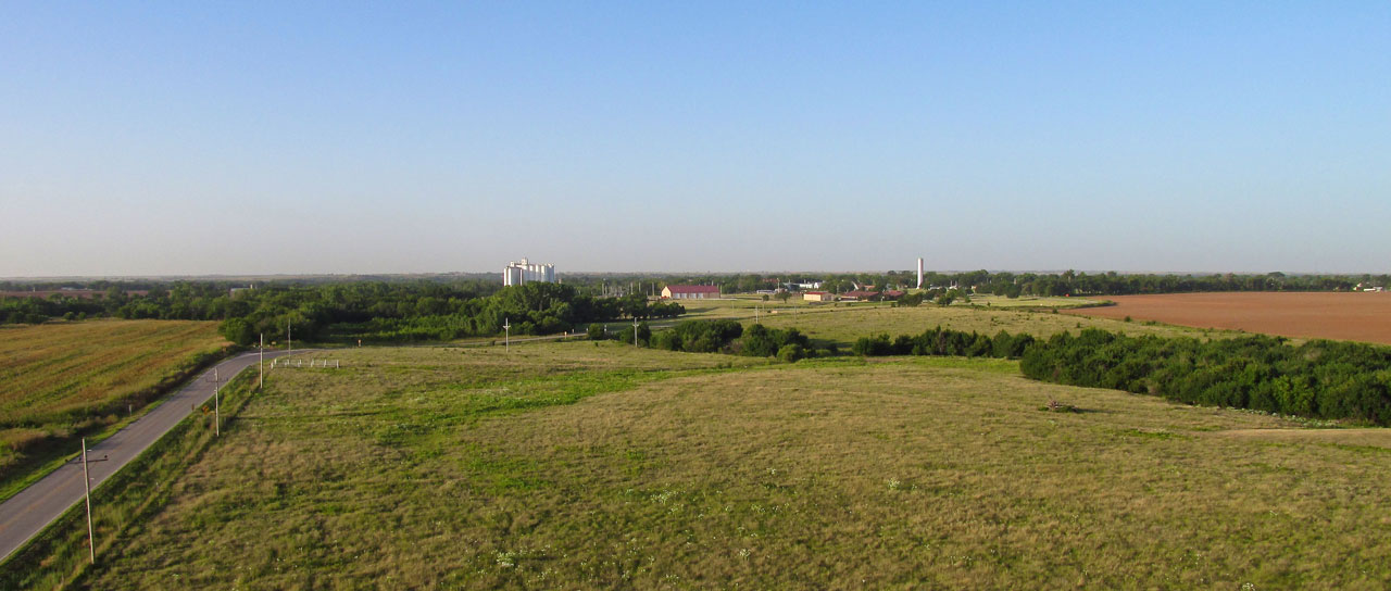
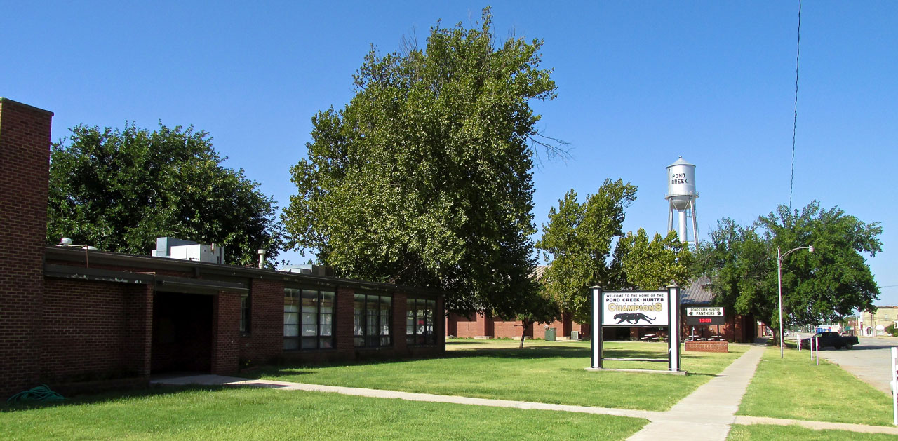
You might not have heard of Pond Creek before but it has a place in the history of The Chisholm Trail which figures mightily in The Real (and Mythical) Old West.
A Sign
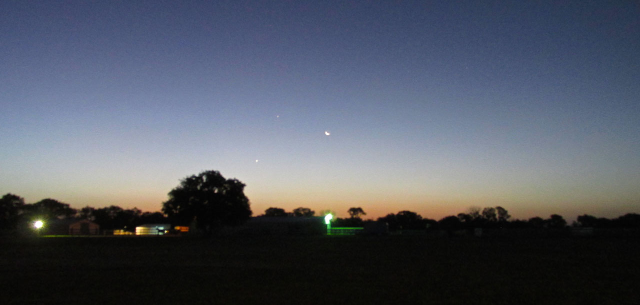
Before sunrise an interesting triad of luminaries bid The Sky Surfer on his way.
That morning, the scene above greeted my arrival at Blue Sky Aerodrome. I wish the photo were sharper but I am glad I captured what I was able. I steadied my camera on the roof of the car and pushed the shutter button as lightly as I could. This was the best of three… I had seen this early morning triad before but falsely assumed it to be The Moon, Venus and Mars. I checked the “star history” for that morning on EarthSky.org and discovered this was The Moon, Venus and Jupiter. Very Interesting. I had no idea one could see Jupiter without a telescope.
Was this a “Good Sign”, a “Bad Sign” or just “An Ever Repeating, Inter-Stellar Phenomenon Seen From Different Earthly Perspectives At Predictable Times Signifying Nothing”? You be the judge.
Beat The Wind
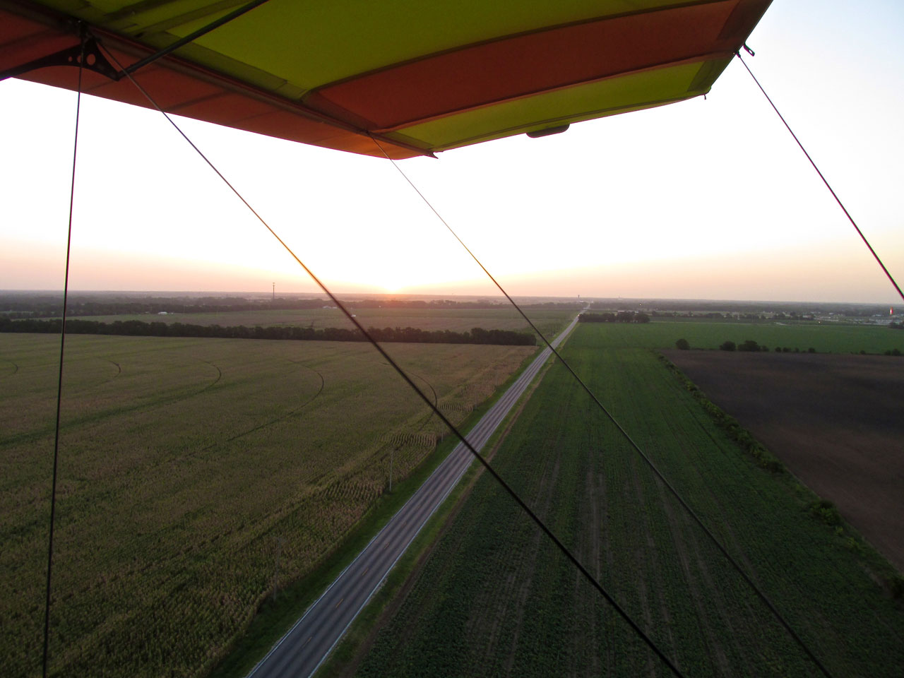
Sunrise Under My Left Wing
Because the wind was already building, I took to the air as soon as I could. After climbing to 600′ AGL to pass over The Kansas Turnpike and houses in the area, a glance at my GPS showed the Southwest headwind had deteriorated my ground speed to 10.8 miles per hour! As soon as I could, I descended to Ultralight Flight Level 30 which put me under said wind. My SOP (Standard Operating Principle) requires at least 30 mph across the ground to continue a Sky Safari. Down on the deck for the rest of the journey I was able to maintain a ground speed of 30 mph and up to 40 at times. Pond Creek was a Go!
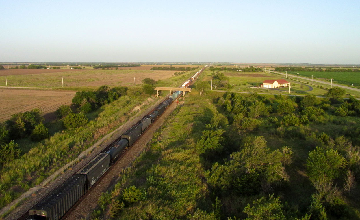
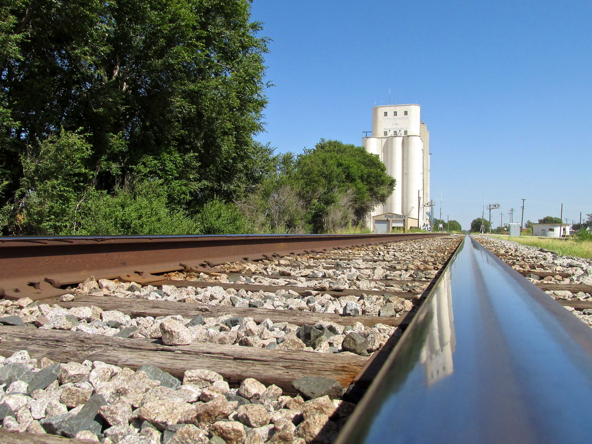
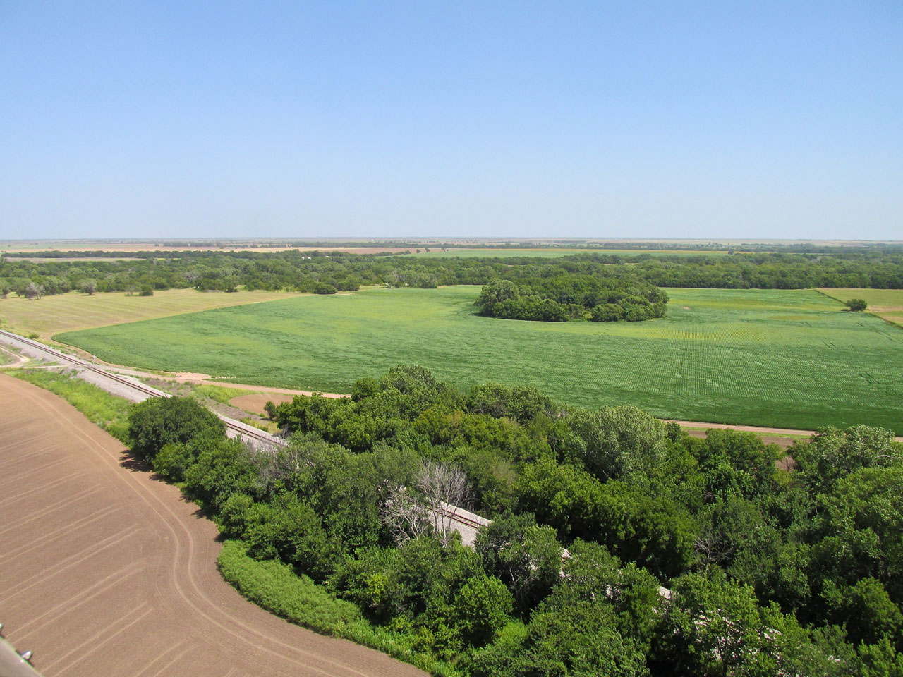
A train heading West out of Wellington, Kansas.
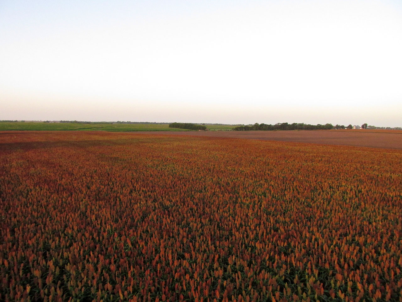
Milo near harvest time is as beautiful as any field of tulips in Holland.
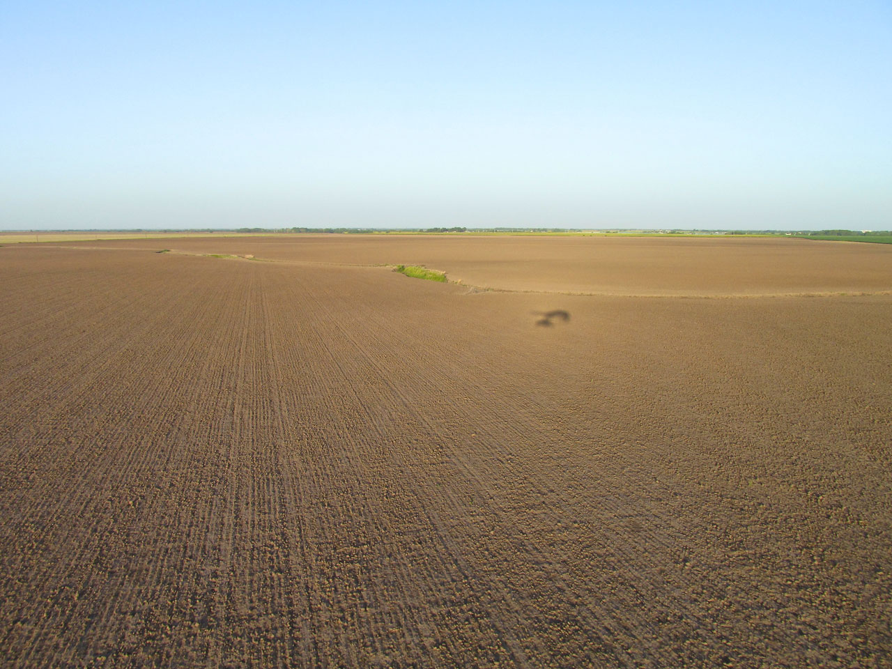
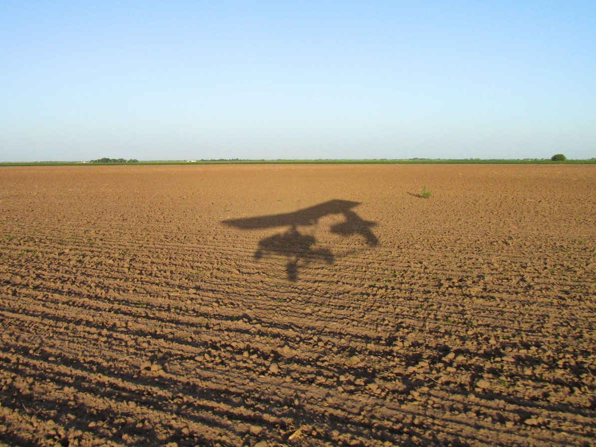
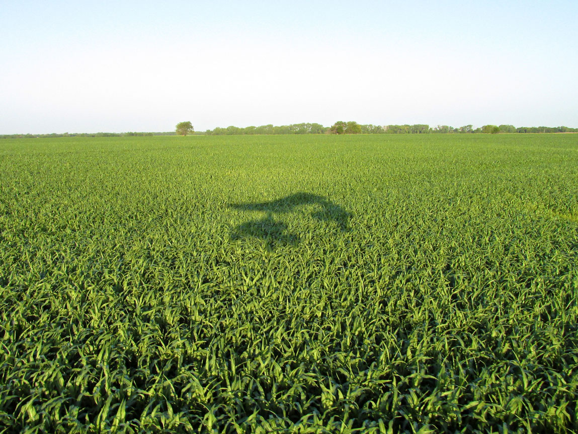
Sunrise Silhouettes
I am intrigued by images of my plane’s shadow on certain early morning flights. They don’t happen that often. To produce them requires a perfect combination of events:
- The right direction of travel
- The right angle of the sun
- No clouds blocking the sun
- Nice background scenery.
When all four combine I can’t help but document it. If you are not that impressed, I suppose you can just scroll through faster but here are a few scenes from that 15 minute window in time.
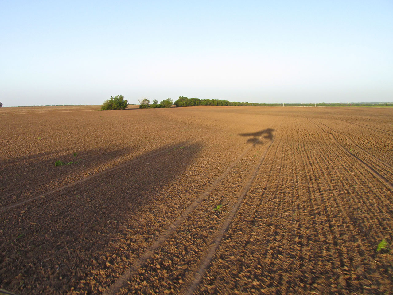
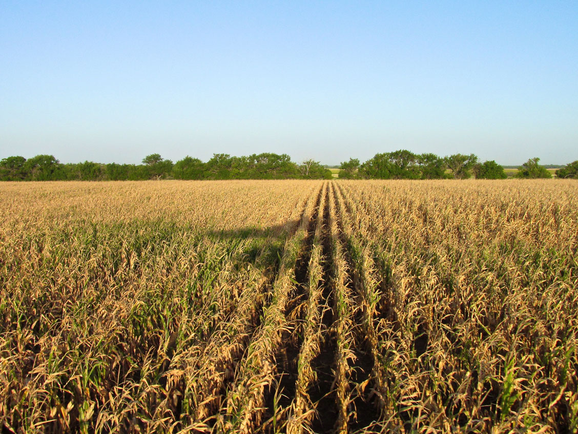
Seed in the Ground
Perfectly Straight Furrows
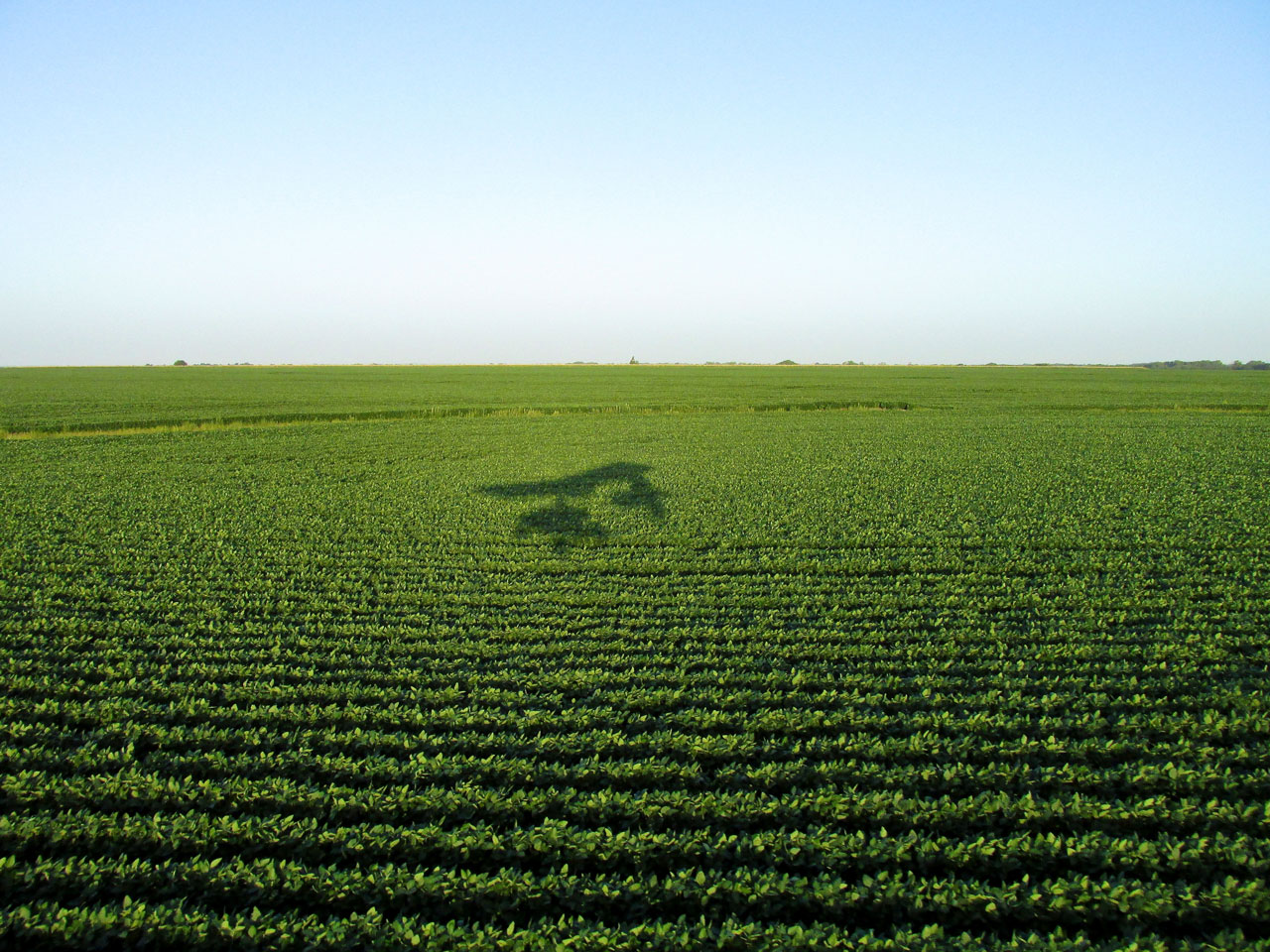
I think these are beans.
More Seeded Ground
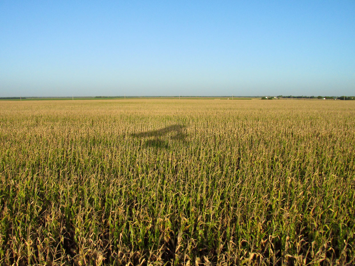
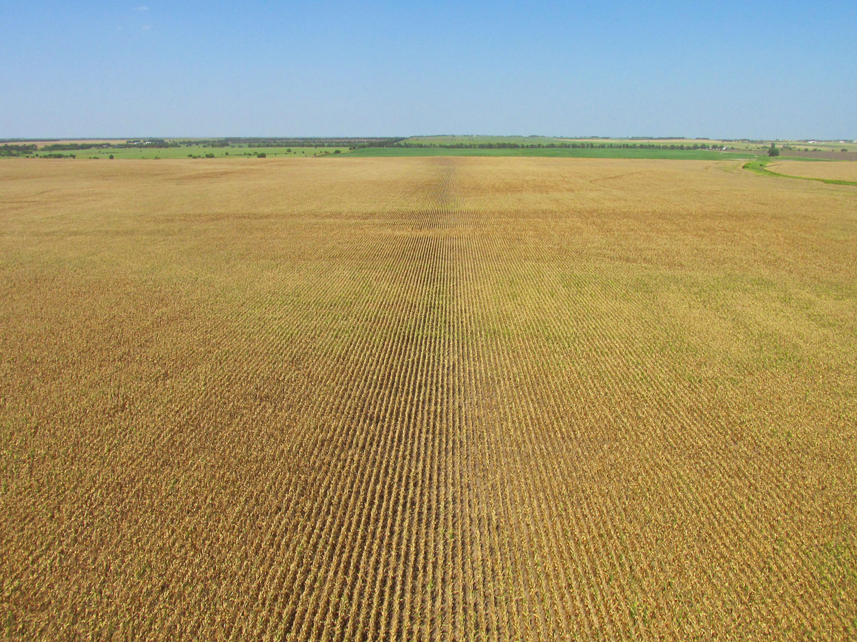
Maturing Corn
It’s dark down in those rows…
I’m not sure what this crop is but it is definitely thriving.
The Early Birds
From the truck parked by the river in the shot below, I assume there were some guys out early trying to get the jump on some fish at sunrise. I never saw them, though.
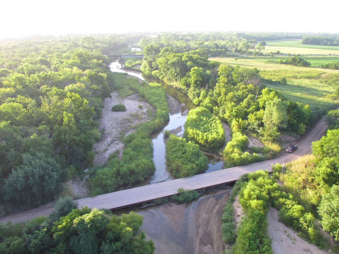
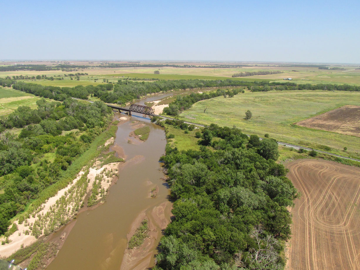
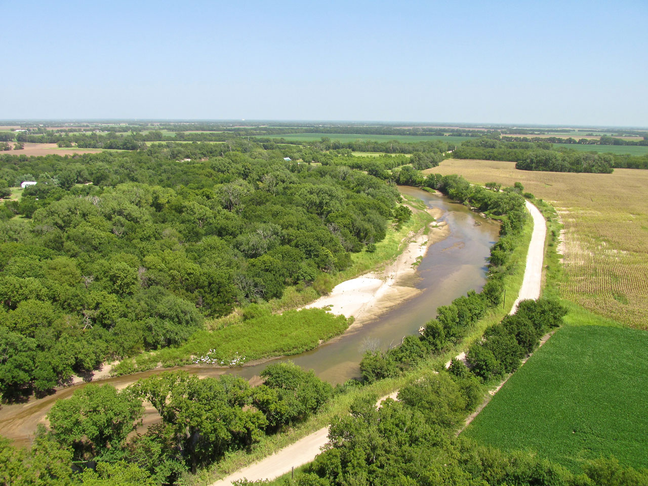
Looking Southeast down the Chikaskia River from 200′ AGL.
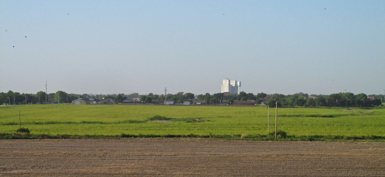
Caldwell, Kansas
Directly on my path to Pond Creek is another fabled town of the Cowboy Era: Caldwell. In 2013 I flew there and posted this story HERE. They call it “The Border Queen City”.
Approaching Caldwell, Kansas from the Northeast at 100′ AGL.
Gazing down F Avenue to the West.
Deer Me!
Just after leaving the Caldwell area, I spot some Whitetail Deer in the grass. They take off running and I chase for a bit.
If you look carefully in the grass to the left of the Red Cedars you will see the deer.
Confirming their meager intellects, they break out of the relative safety of the shelter belt onto a wide open, flat, plowed field.
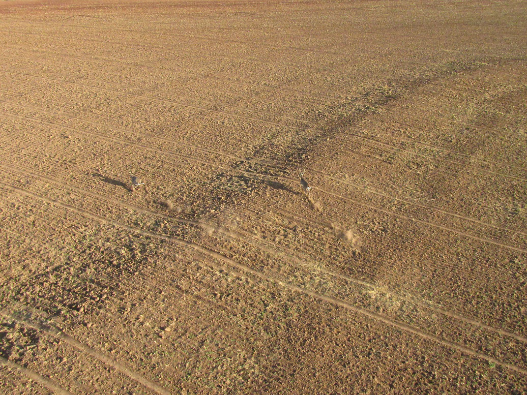
Kicking up some dust now, they are at full speed. Having given them some exercise, I break off the chase…
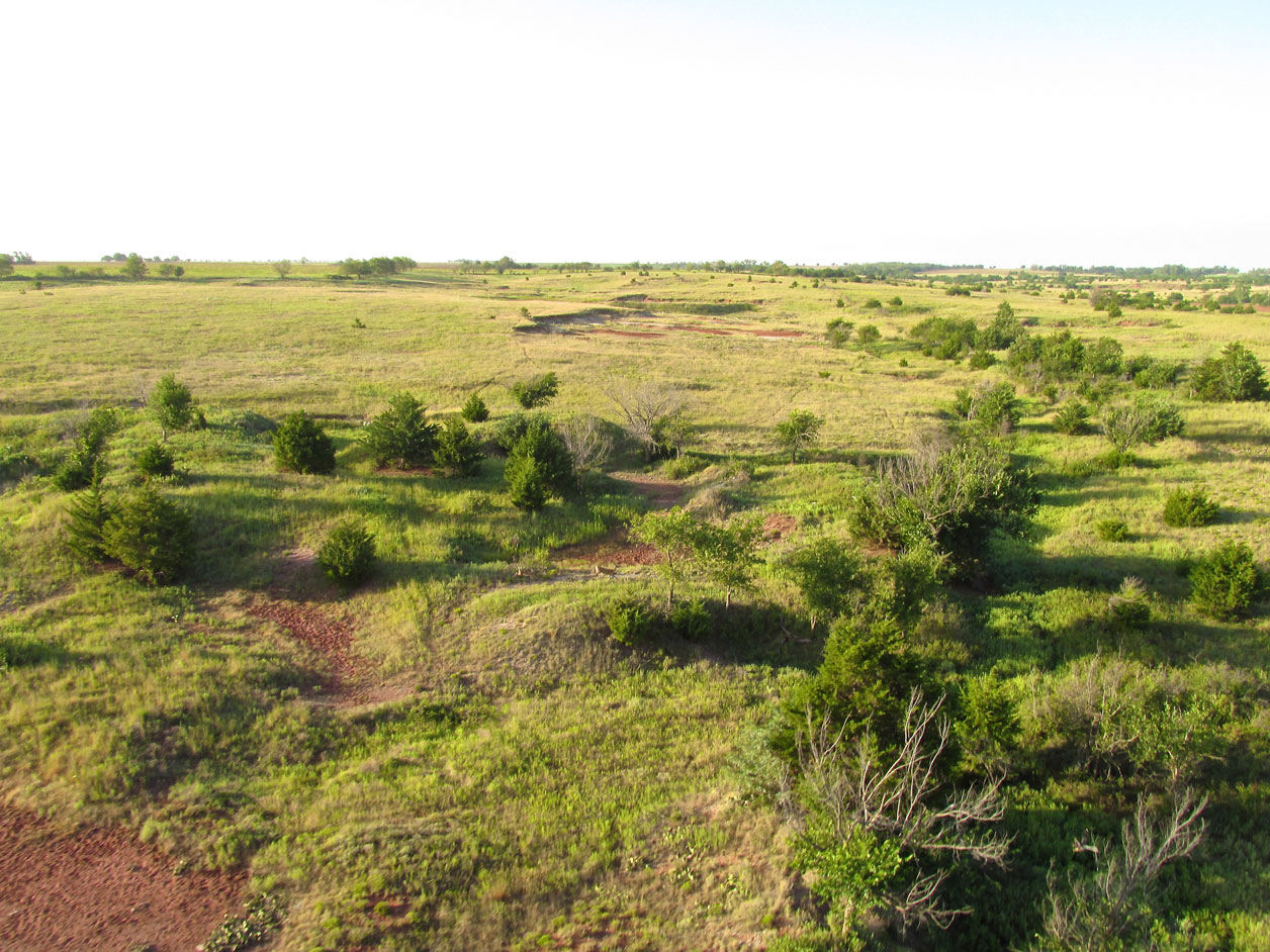
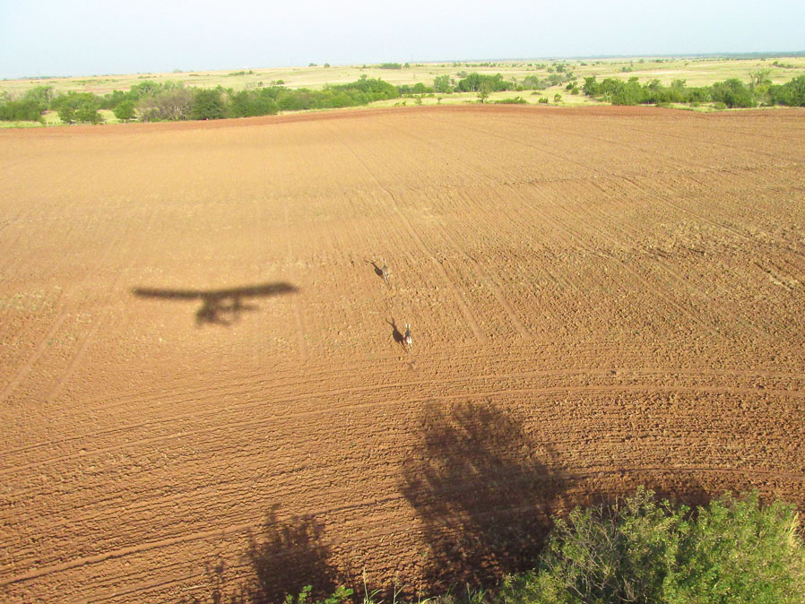
The landscape changes and I see yet another pair of deer. They are by the dry gulches near the center of the shot.
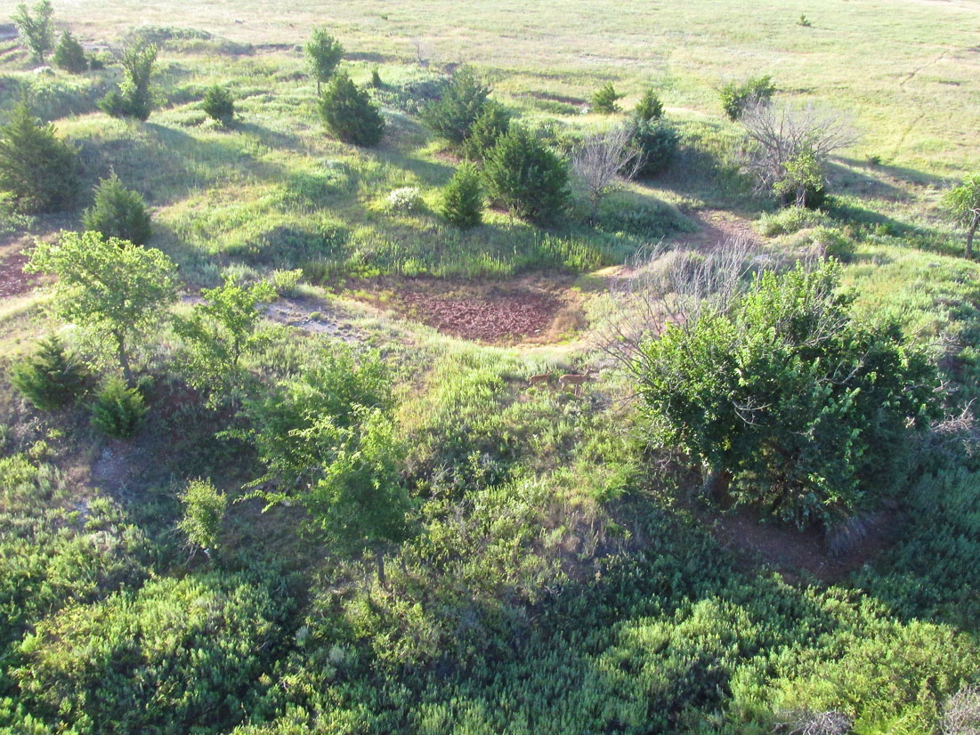
Closer now, it appears to be a doe and a fawn. Unlike the bucks, they maintain position counting on their natural camouflage to protect them. I fly over and they stay put.

A little while later another pair busts out of one small grove and heads toward another. I barely got my camera out to take this shot as they ducked into cover after crossing an open field.
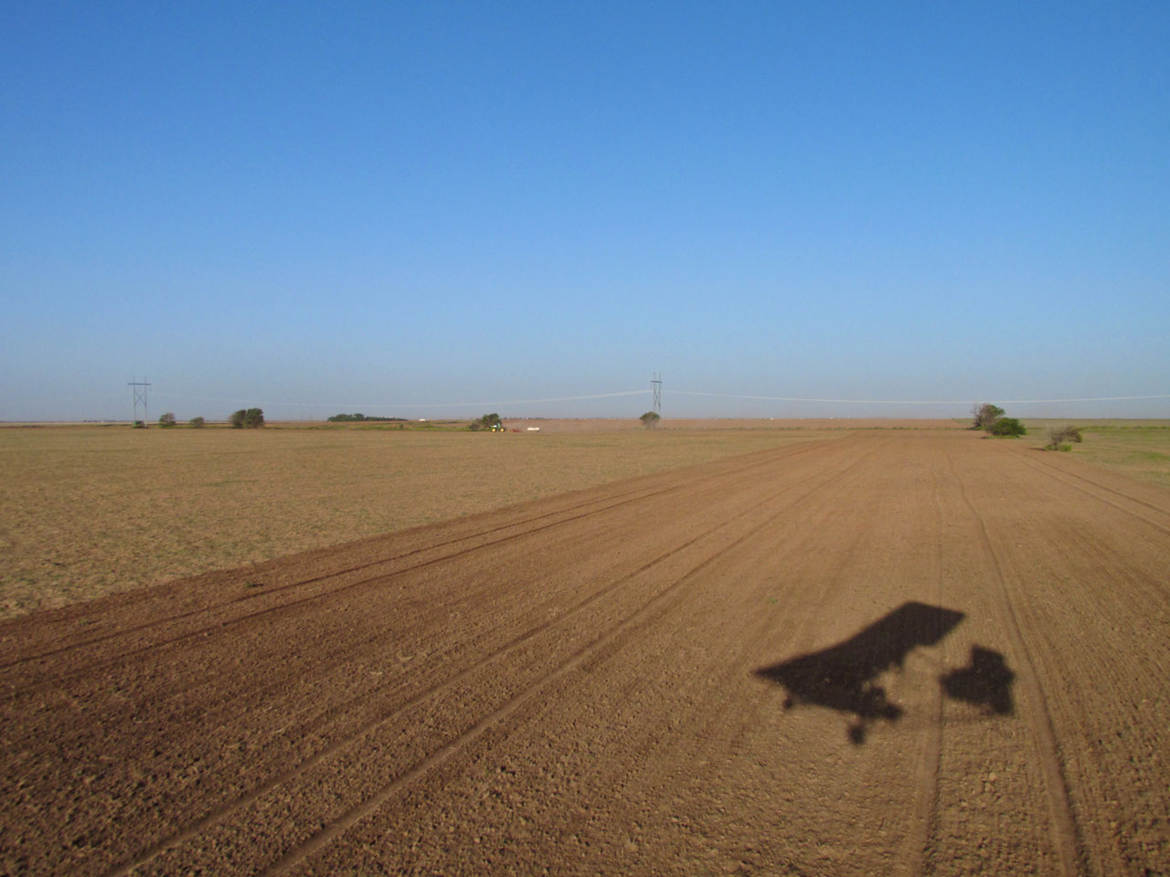
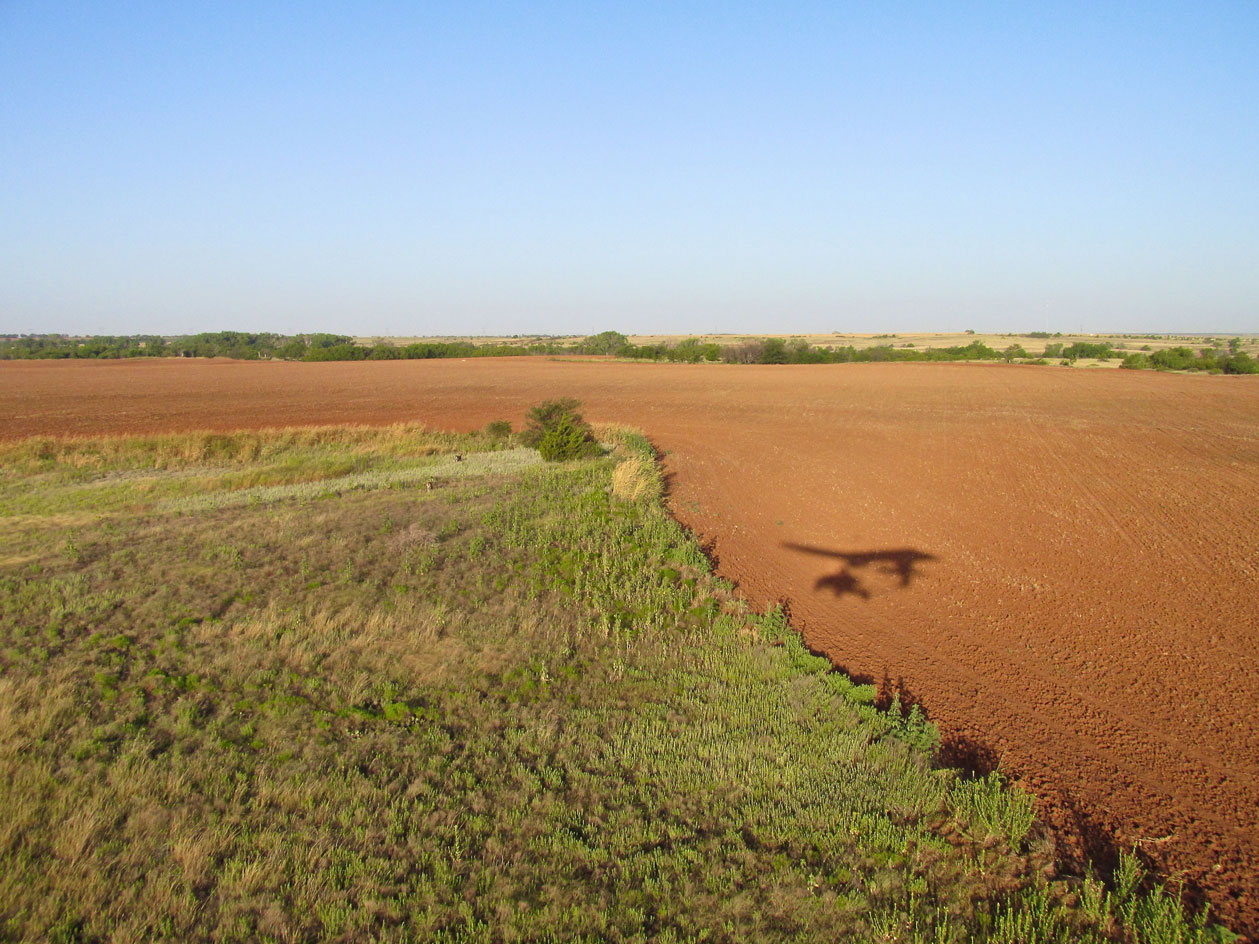
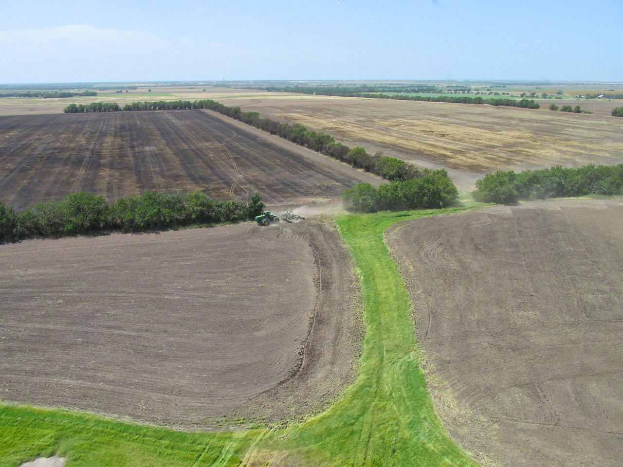
A quarter mile off my path I see a different Deere and his Farmer lay down some fertilizer before the wind comes down to the surface.
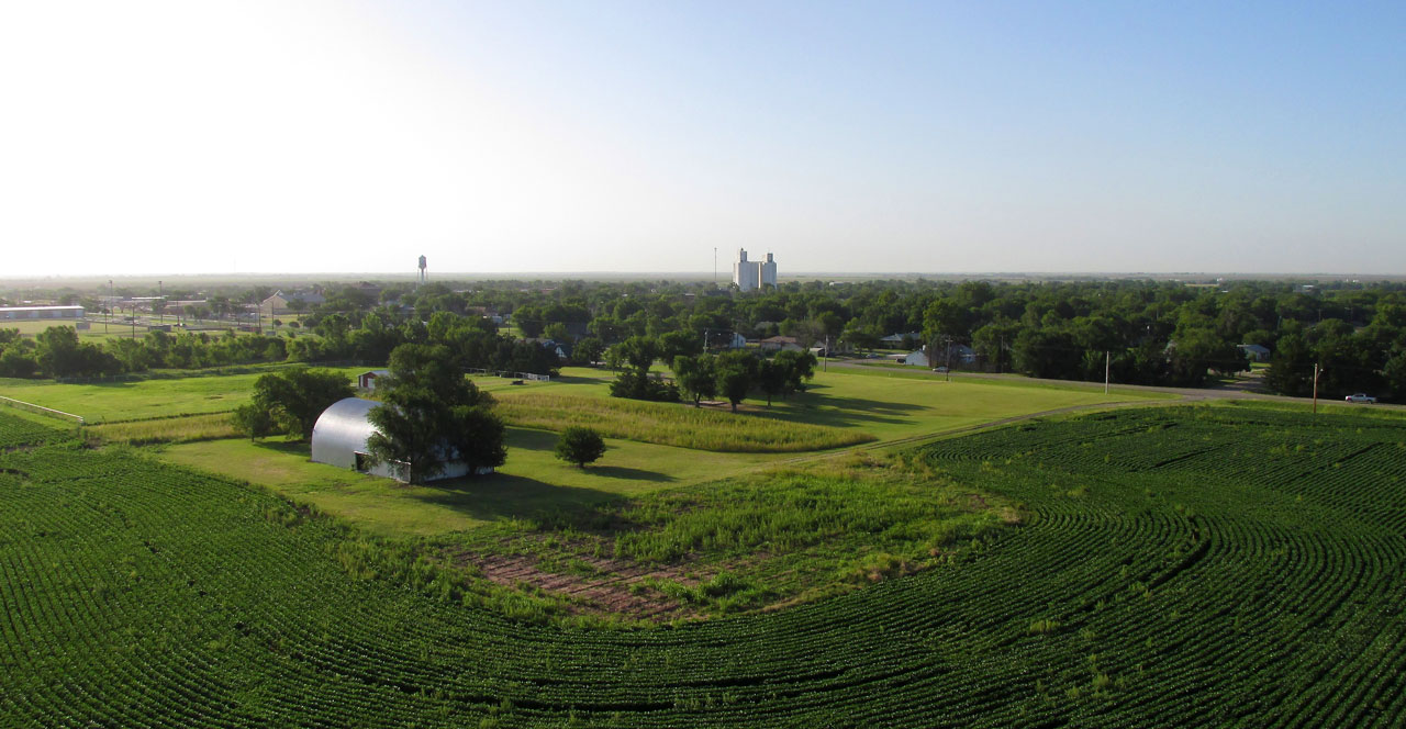
Medford, Oklahoma
Still hugging the earth, I approach the town of Medford. Even that low the wind had risen to 10 mph off my nose but it was even stronger at 100 feet so I stayed low. I wasn’t concerned about the decrease in ground speed, though, because Pond Creek is only 10 miles from Medford. Medford has a very nice airport with a hard surface runway. I will make a trip to it soon.
Medford, Oklahoma from the Northwest at about 20 feet above the prairie.
The same as above but a little farther along and a little higher.
Turbulence & Technique
The next shot was taken by accident but I put it in here to give you a feel for the condition of the air as I was about to cross The Salt Fork of The Arkansas River (I would have thought it would be named Pond Creek…).
I fly with my still camera on a lanyard around my neck so I can get to it quickly. It has a shutter button on the top right – made for use by the index finger of the right hand. My Quicksilver has an off-center control stick on the right side that is also manipulated by my right hand. For best photo results I use both hands on the camera. So, when I take a shot, I let the plane fly itself for a bit whilst “framing the shot”. Occasionally when I am taking a shot using both hands, the wind pitches the plane in a manner requiring me to relegate the camera to my left hand while my right hand grabs the stick to correct the machine’s attitude. Sometimes, if additional power is also called for, I have to drop the camera in my lap so my left hand can work the throttle, too. In that situation the lanyard keeps the camera from launching into space.
My camera has a “two stage” focusing method whereby one has to gingerly depress the trigger to get a focus which is then evidenced by the appearance of a green box on the screen. Once this is accomplished, the shutter button is depressed the rest of the way and the picture is taken.
What you see in the photo below has happened quite a few times on my Safaris. As I set up to shoot (what ended up being the next shot in this series) a considerable gust “weathervaned” the plane into the wind. The art process having been interrupted, I accidentally hit the shutter while reaching for the stick. Usually I throw these kind of pictures away but this time I thought you would find it and this attendant discussion interesting.
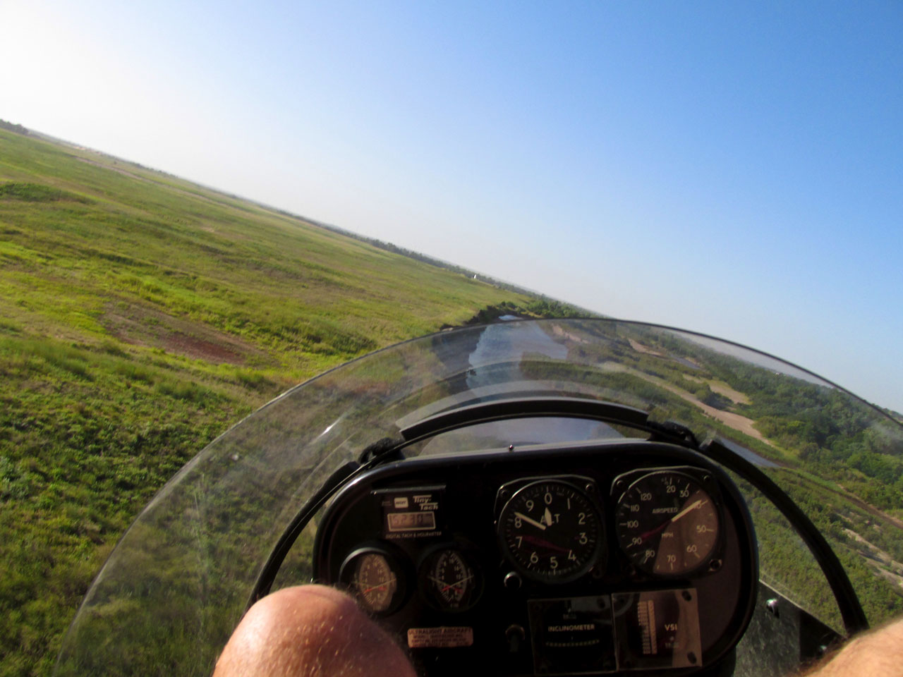
Caught by a gust! I noticed when examining this shot that the altimeter indicates I am flying below ground level. I set my altimeter to the ground level when I take off. So, this indicates the difference between each town’s height above sea level (allowing for barometric pressure changes). Neat! This means I had been gliding downhill all the way…

This was the shot I attempted in the previous frame.
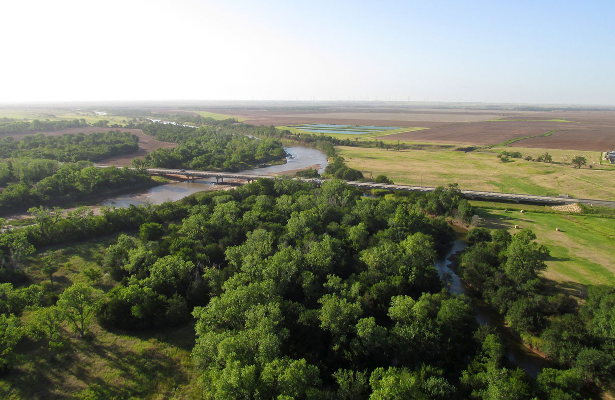
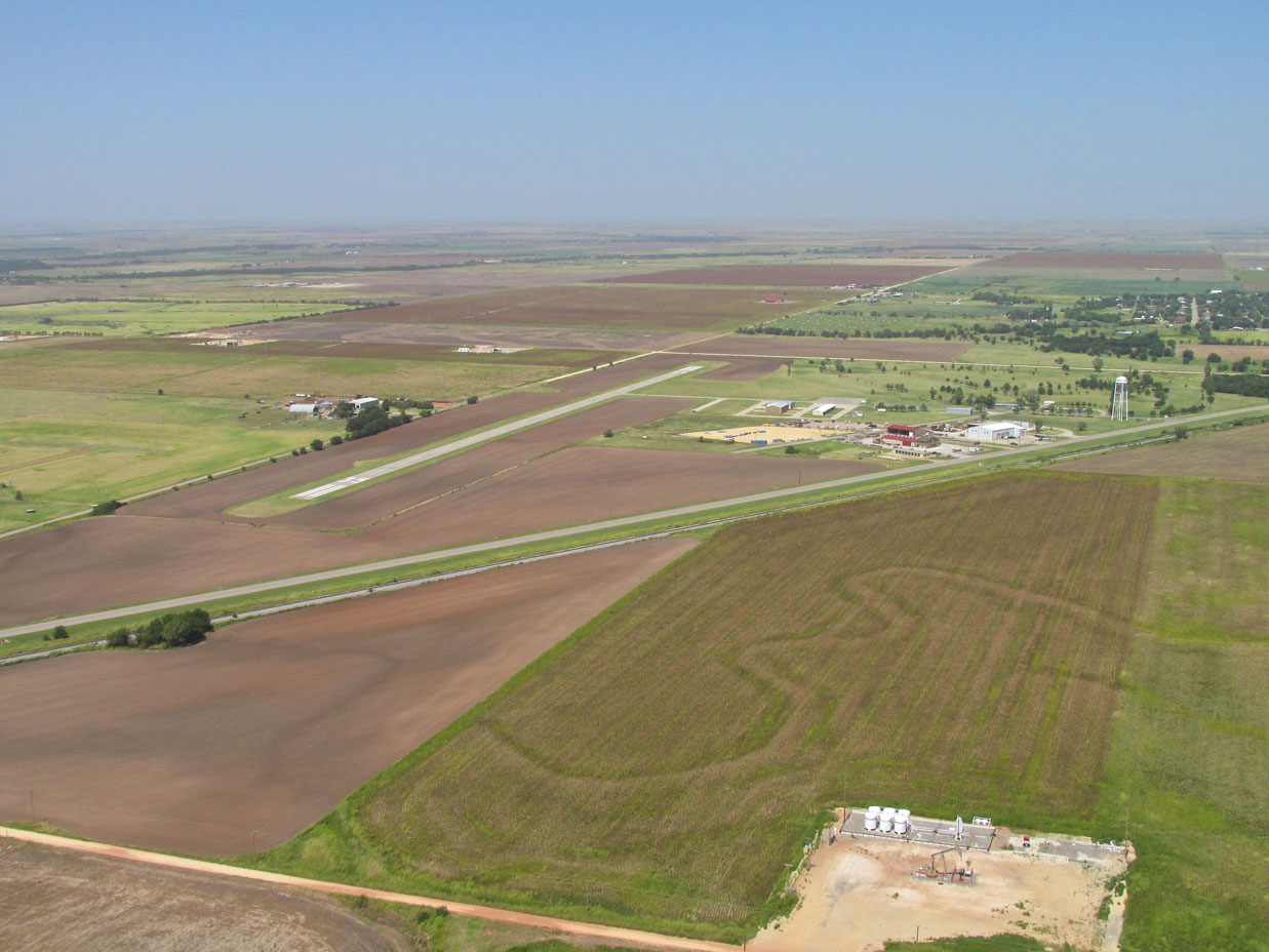
Getting ready to enter the Pond Creek Municipal traffic pattern I climbed to 800′ AGL. I took this picture of the Arkansas River and the bridge that brings traffic into town on Broadway Avenue.
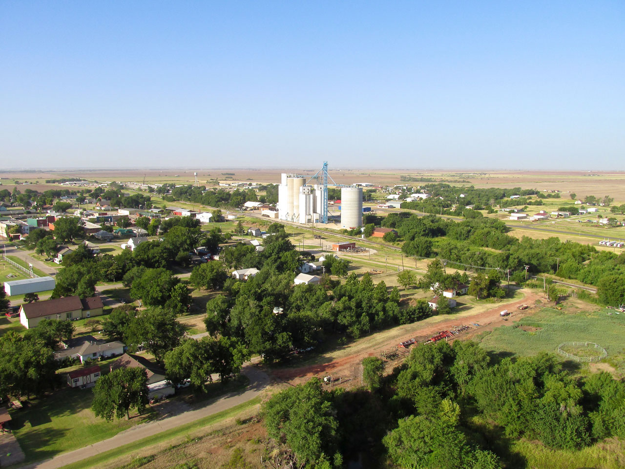
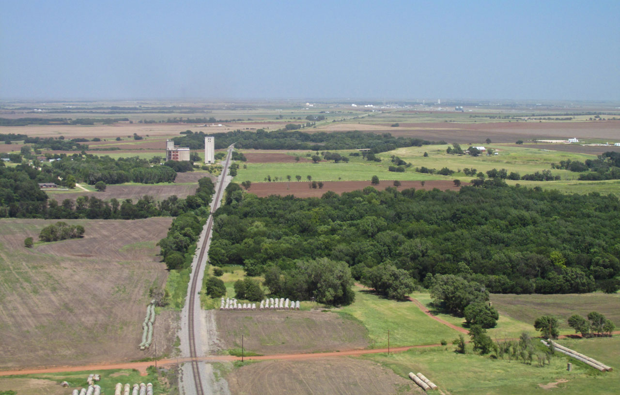
Here I am crossing the North Side of town. It is quite windy now. The airfield is on the edge of town past the grain elevators in this scene.
Wind Break Required
When I landed the wind was 20+mph from the South with gusts to 28. This put it right down the runway. The Muni is a grass field that is quite wide so I could have landed pretty much any direction to avoid crosswind issues. Once on the ground, though, I needed protection from the wind and taxied to the first opportunity I could find that appeared “neutral”. By neutral, I mean that I would rather park behind a public building than on someone’s property without prior approval. It turned out to be an equipment storage building owned by the city and was perfect for the job. Also on the field were two crop dusting outfits with significant hangars.
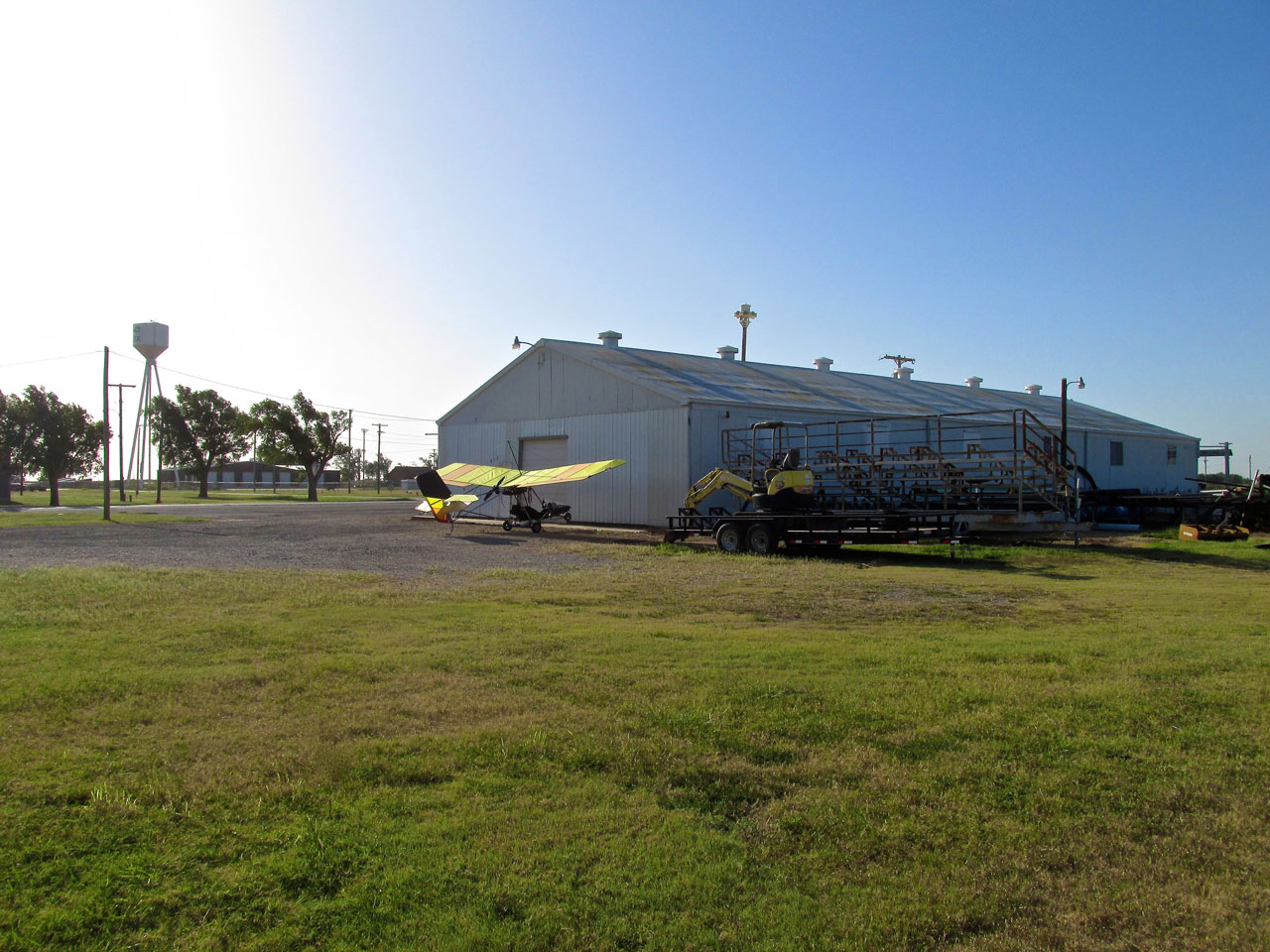
City Building Wind Refuge
Nobody was around the building so before heading out to discover Pond Creek I wrote a note explaining my actions. Should someone need to use the overhead door into the building, I asked them to call me on my cell phone and I would move the plane. After taking the shot above, I turned the plane around and tied the tail down to some cinder blocks. Not long after affixing the note to my seat, Chris Gibson drove up in a city pickup. He was there to grab a hand tool and confirmed it would be fine for me to leave the MXL where it was. We discussed the heat which was heading for a record 104º that day and then he said goodbye and got back to work.
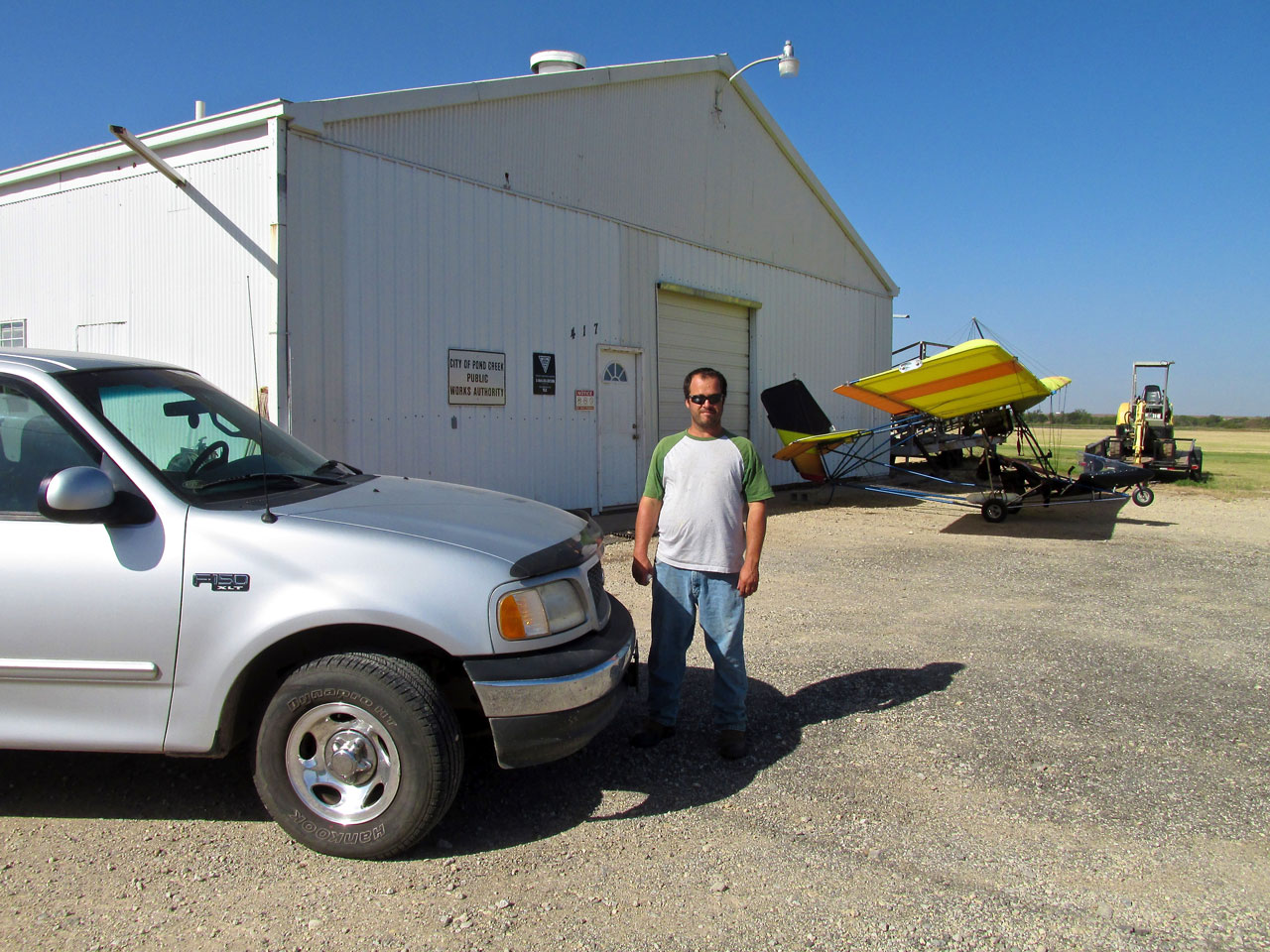
City Employee Chris Gibson
ADAA
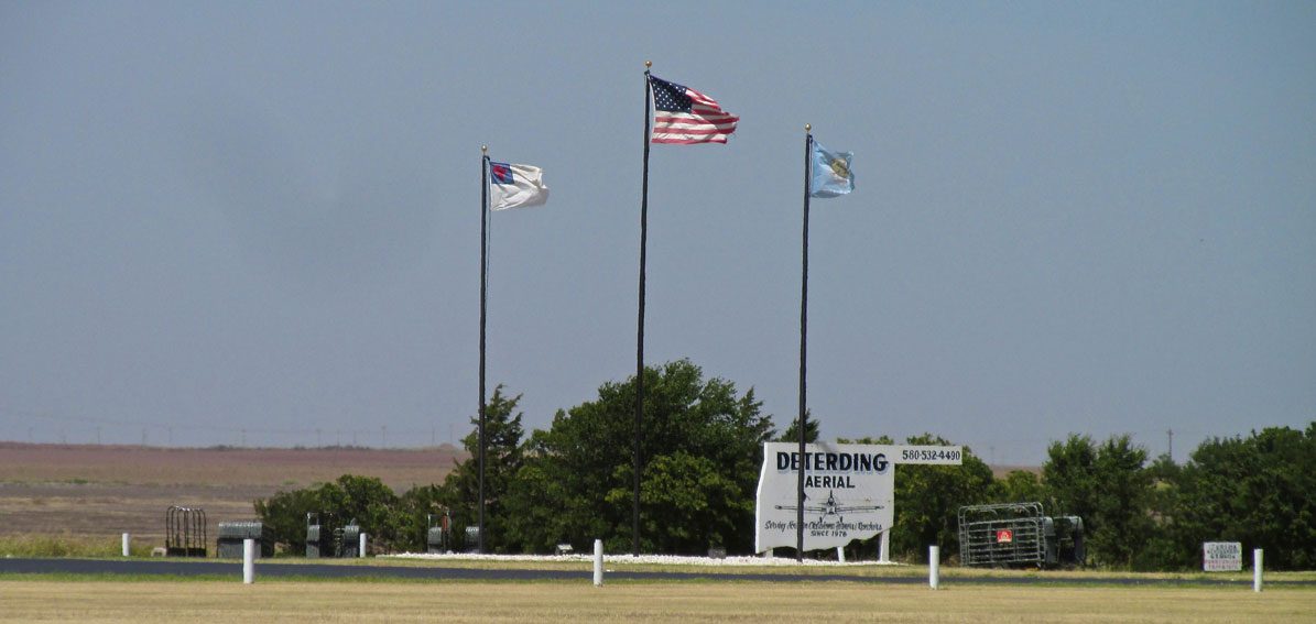
After talking to Chris I began my walk into town. I saw a good shot of Andy Deterding Ag Aviation and grabbed it before continuing. I figured I would take a few more pictures of the field when I returned.
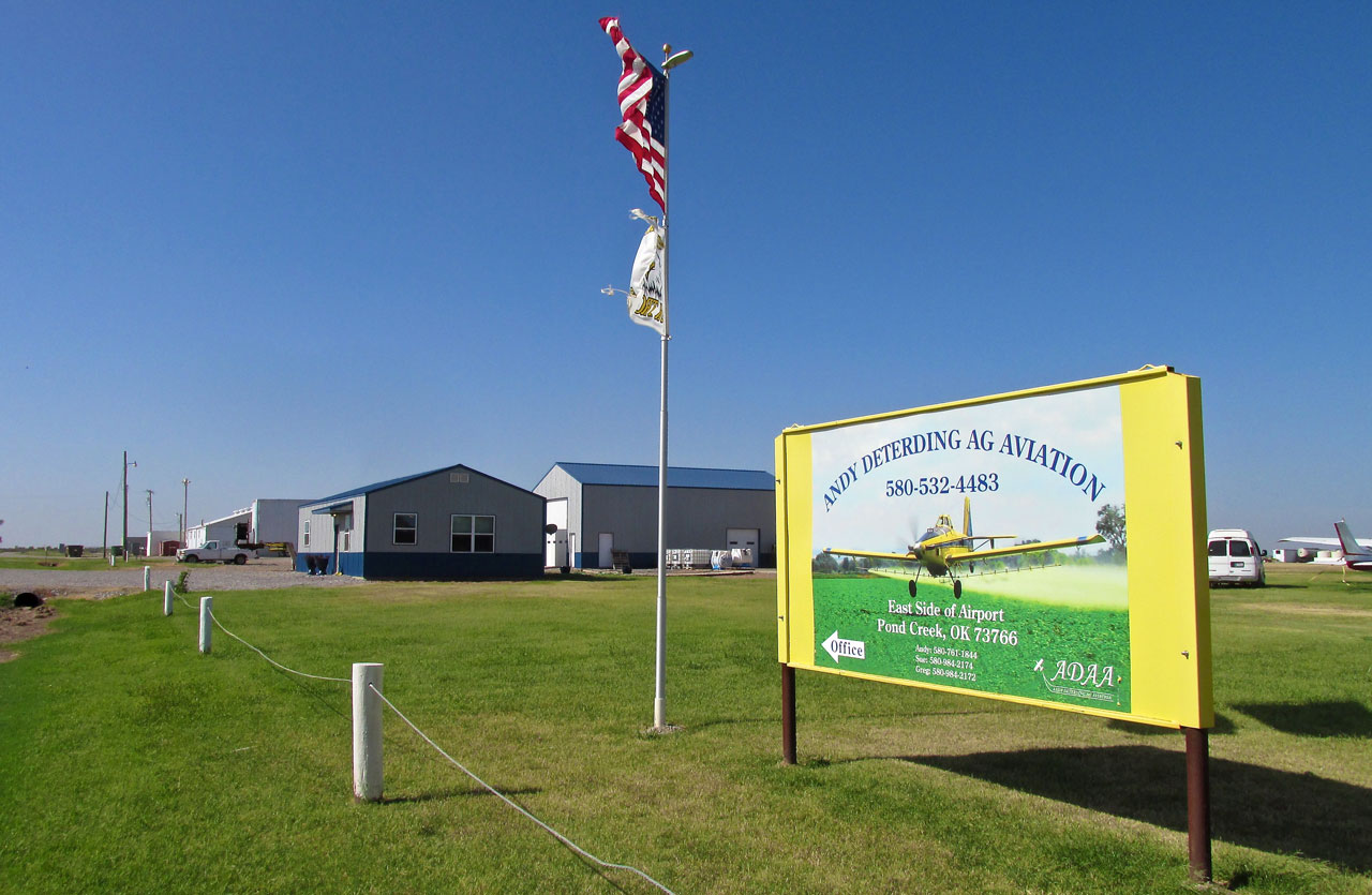
Deterding Air from the corner of Cedar and 6th. The flags speak of the wind at that moment.
Coffee Anyone?
Just as I lowered my camera from taking the shot of Deterding Ag, Sue Deterding pulled up in her BMW and said “Hi!”. She was heading into the office and saw me taking pictures. I told her what I was doing and she invited me in for some coffee and to look around their operation.
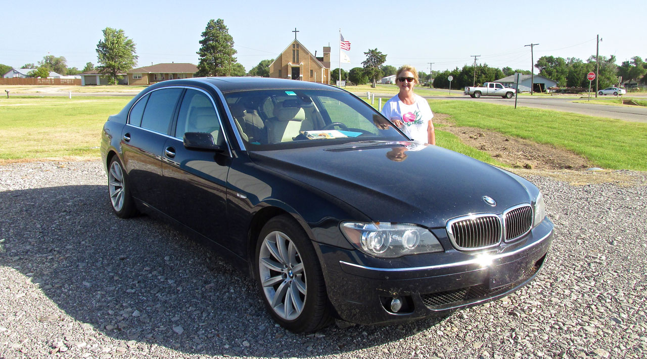
Sue Deterding in the parking lot of Deterding Ag Aviation.
Once in the office I thanked Sue for the coffee. It was definitely welcome. It was my first cup of the day as I had adopted a policy not to drink anything before embarking on a Safari. That policy was derived from an “uncomfortable experience” endured during a trip to Cleveland, Oklahoma…
Deterding Racing
Looking around the office it was apparent that in addition to the Aerial Application Business the Deterdings race cars, too.
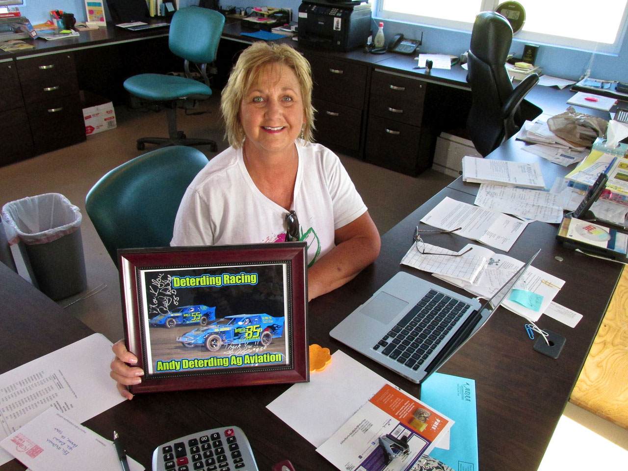
Sue with a picture of their cars.
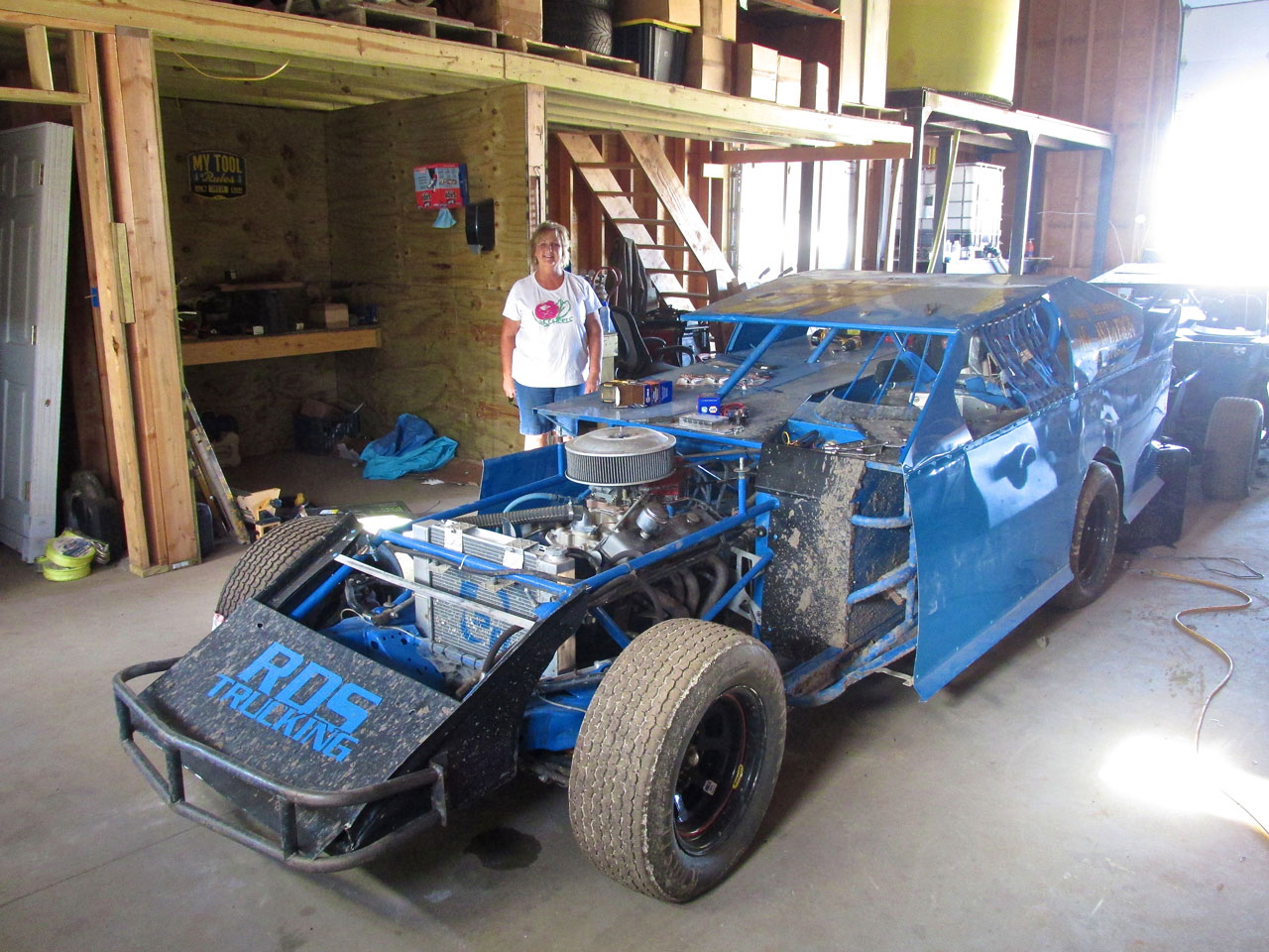
Part of the building is dedicated to the racing cars. Additionally, out back, they have a large tractor trailer for hauling the cars to races.
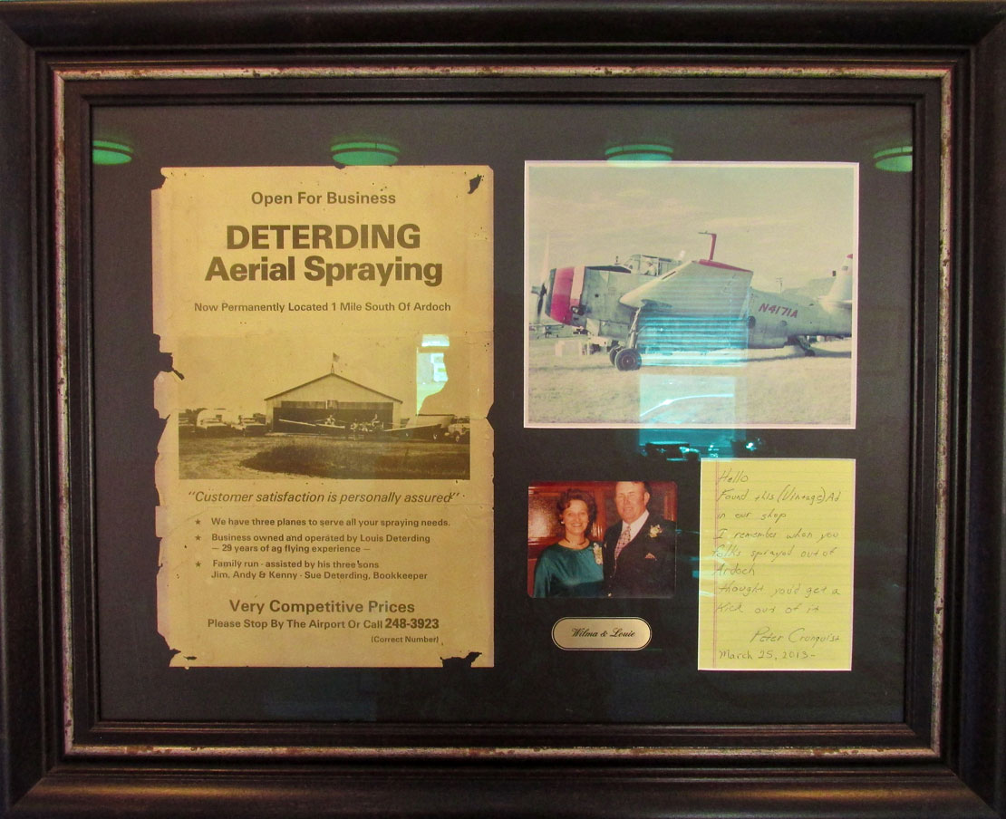
On the wall was this gift from a friend. Apparently Andy’s Dad was an Ag Pilot, too.
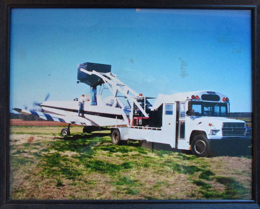
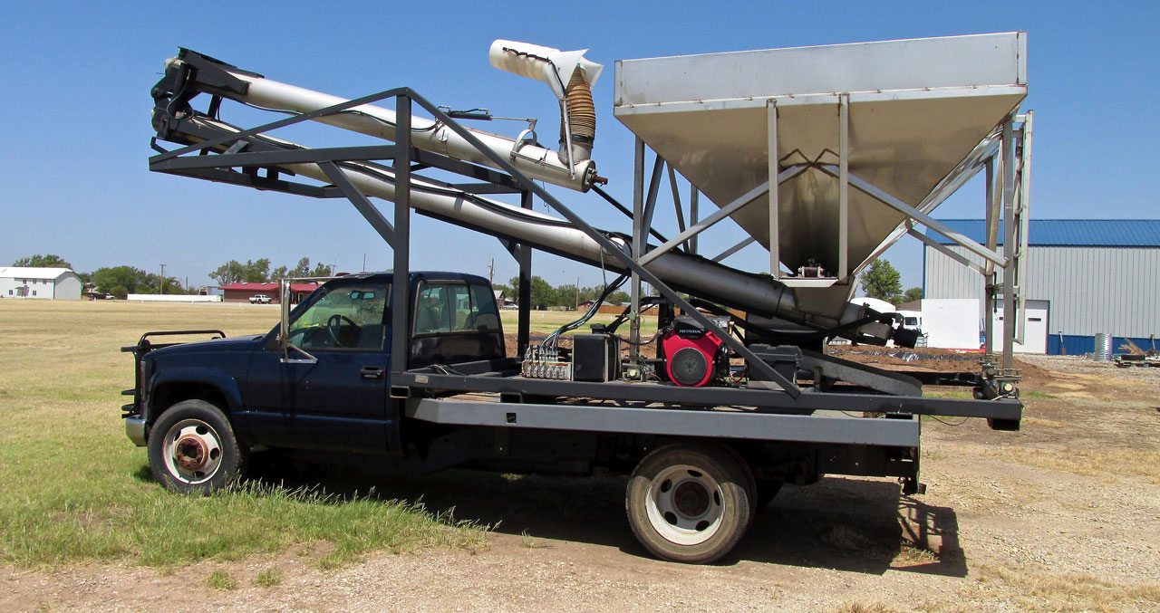
Here is a picture of the Deterding Bus Conversion Hopper/Loader. Sue said this innovation was invented by Andy and his Dad and that they had sold many of them.
The Air Tractor
I could tell Sue had things to do and so did I so I bid adieu and headed for the door. Before I got to it Sue said I could use the company van if I would like. I thanked her and said I might do that when I came back to get fuel for my machine.
As I stepped out into the 100º air I heard the unique sound of an Air Tractor. He was on base turning to final. I always think of World War II when I see one of these planes. Except for the fixed landing gear, they look like WWII Fighters. I suspect if they were available in that war they would have been Top Gun for sure. I did some checking and although primarily an agricultural application craft, there is a military version of the Air Tractor called the 802U. It can carry 8,000 pounds of ordnance. My Buddy Ag Pilot Lynn Bebermeyer of Harper, Kansas also owns an Air Tractor.
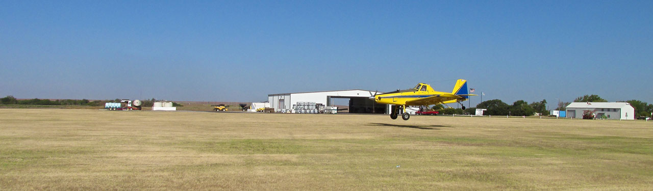
An Air Tractor just before touch down.
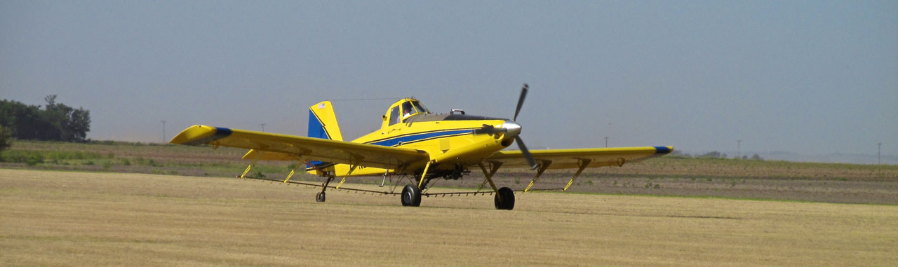
Taxiing back after landing, you can truly admire the underslung spray racks from this angle.
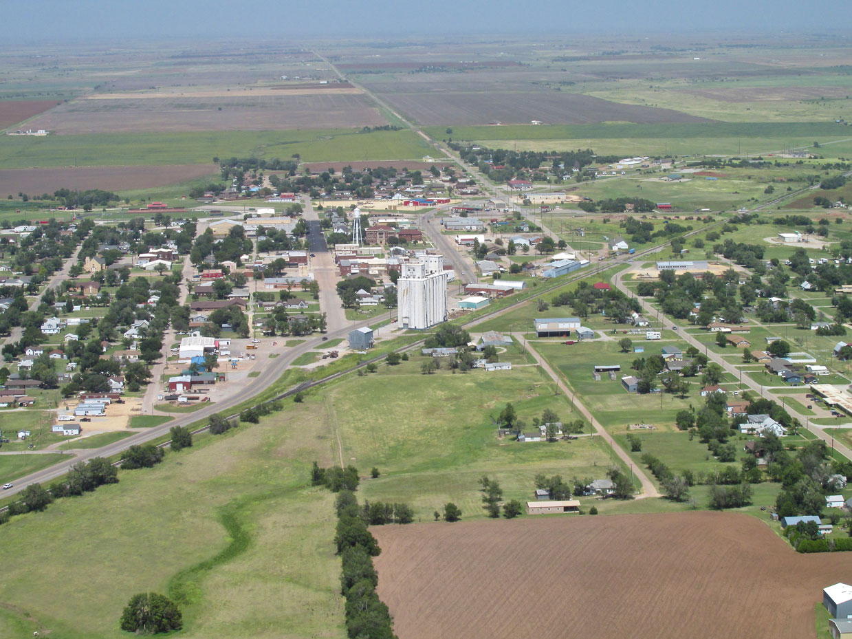
Walking The Streets Of Pond Creek
Having taken a few aerial photos of the town on the way in, I began my street level look at Pond Creek. I walked a good bit of the town and now will show you what I saw.
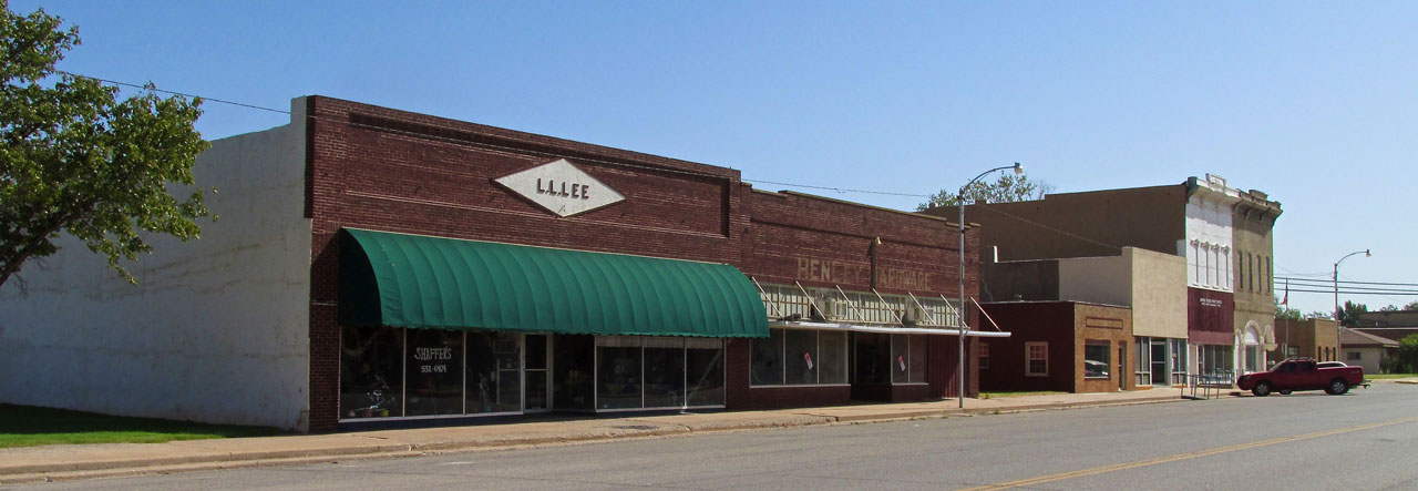
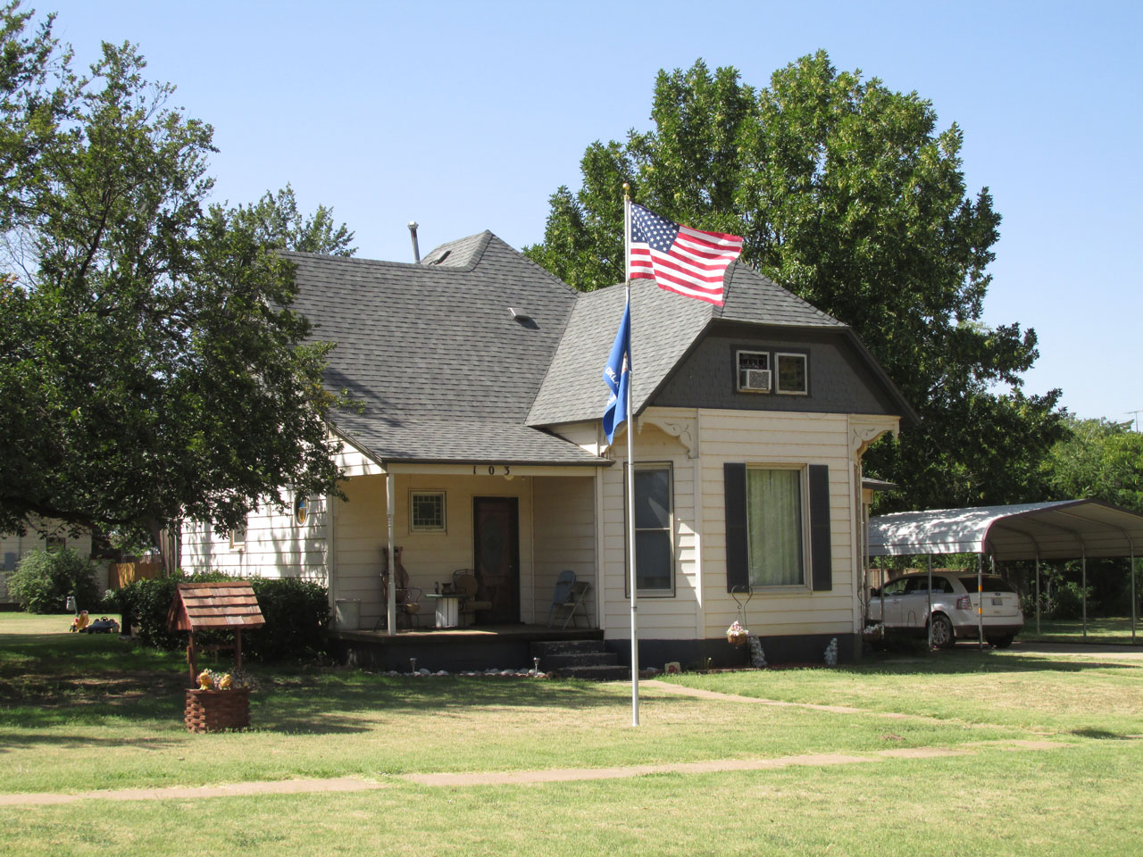
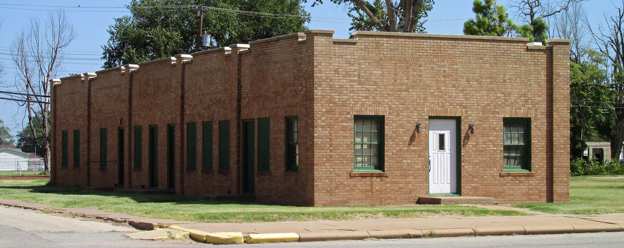
Brick Buildings Always Get My Attention
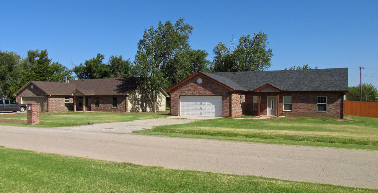
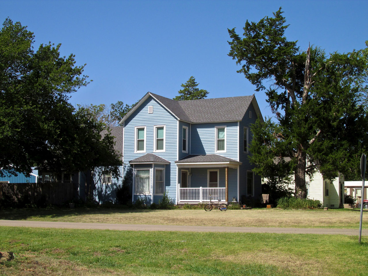
Two Brick Houses Together
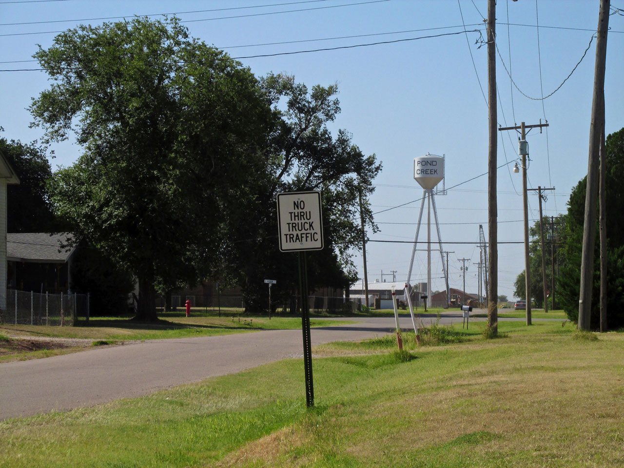
There is nothing special about this shot except for the water tower on a tripod. I can’t remember ever seeing one like that. It was the only angle from which I could get the entire tower and the town name, too.
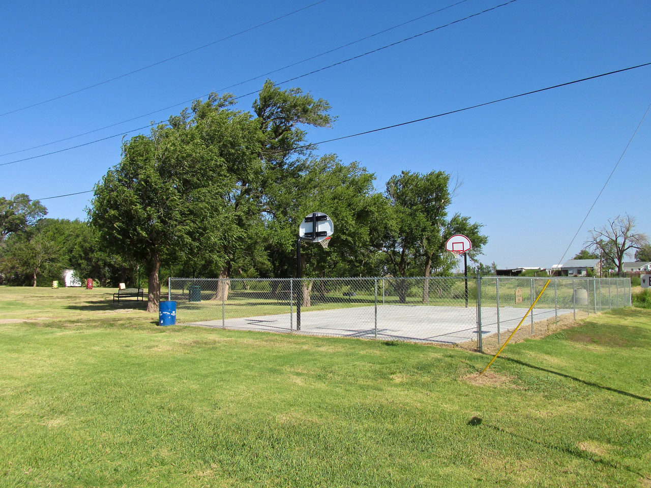
Pond Creek has more than one park and they are well cared for. I don’t think the fence around the basketball court is necessary…
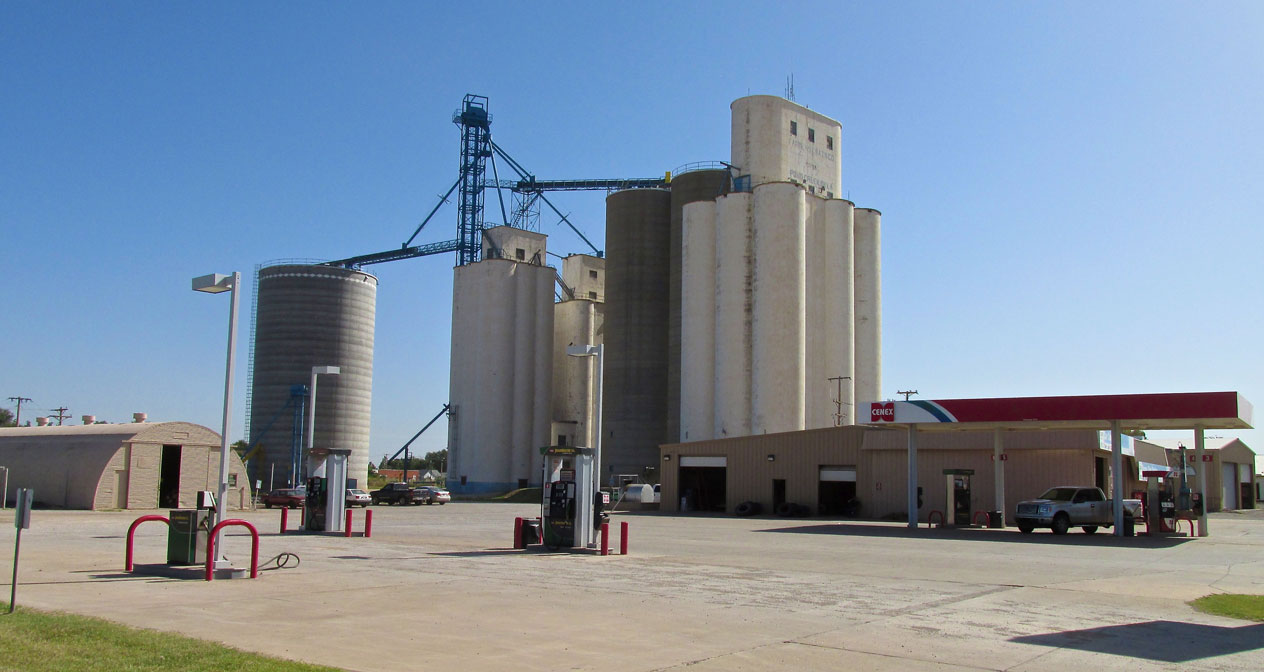
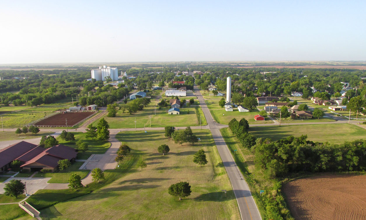
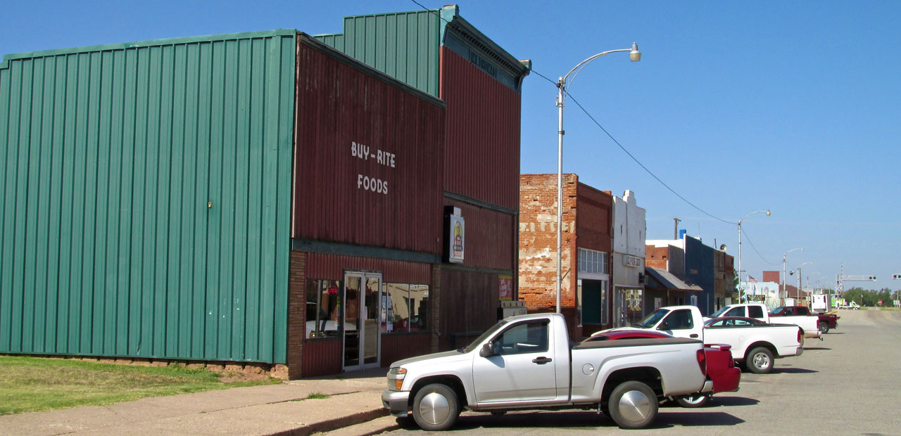
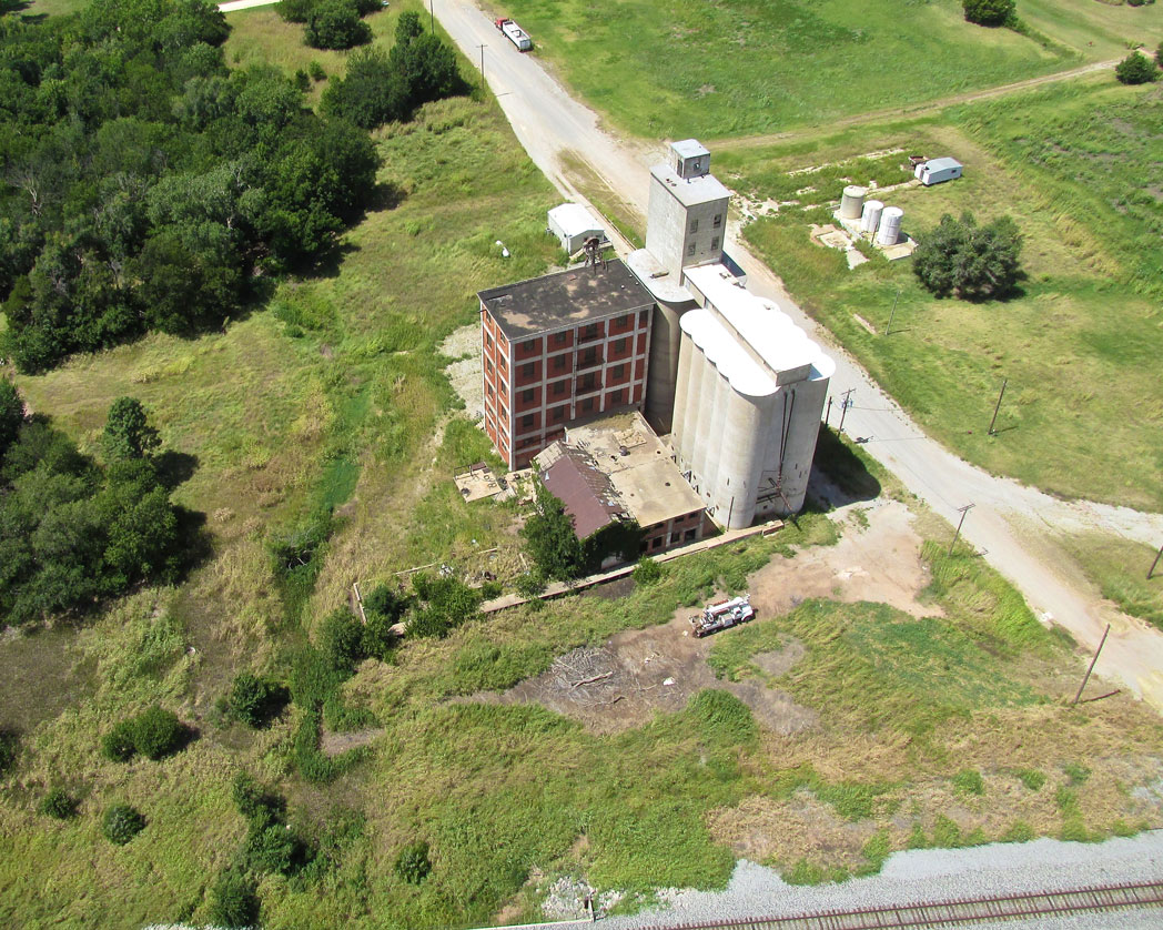
Farmers Grain Company Elevators
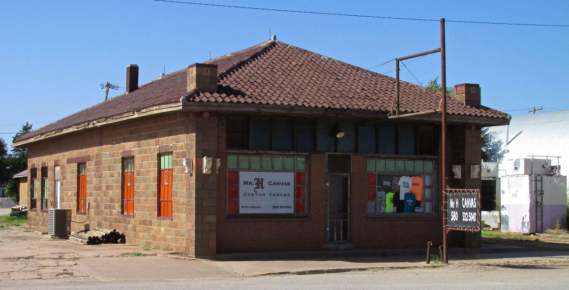
Mr. H Custom Canvas
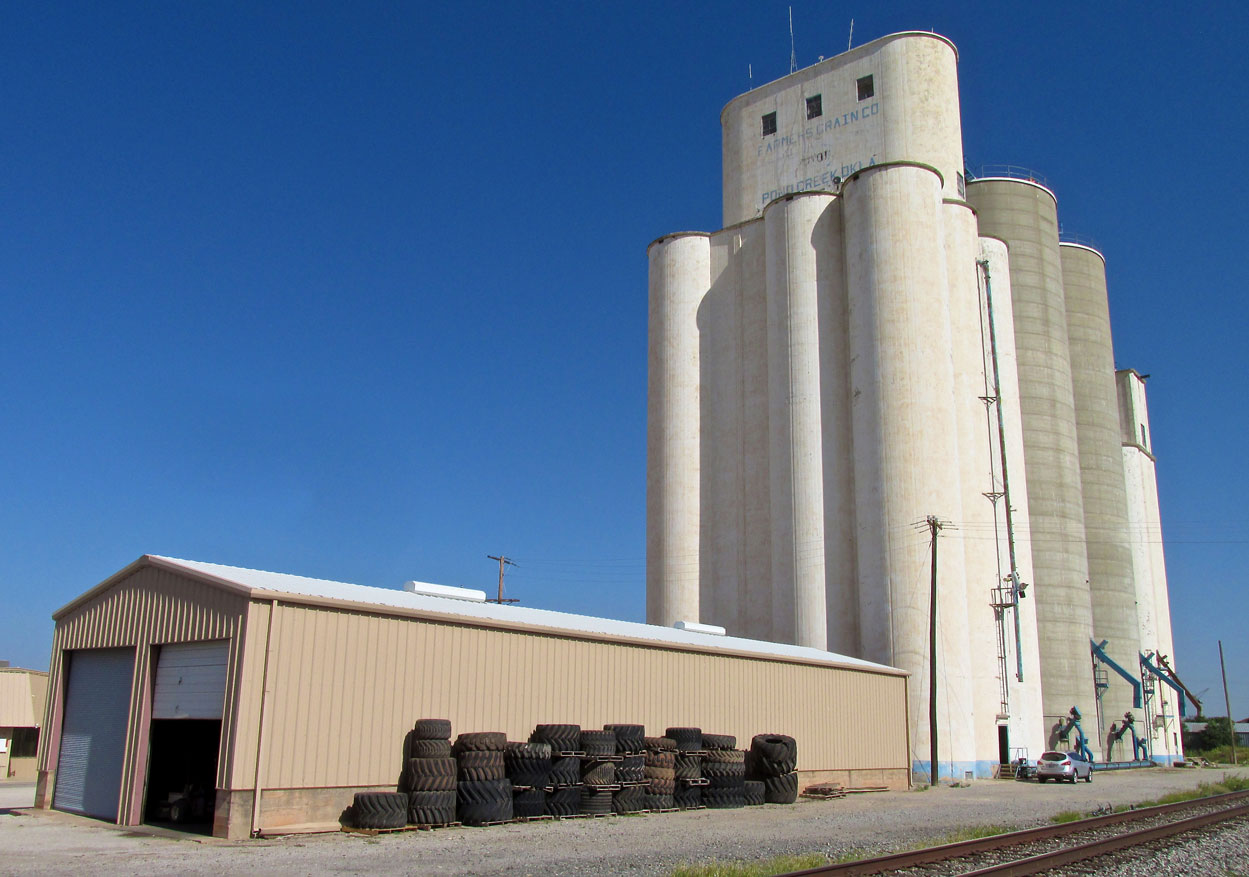
Another angle of Farmers Grain Company elevators from the train track side.
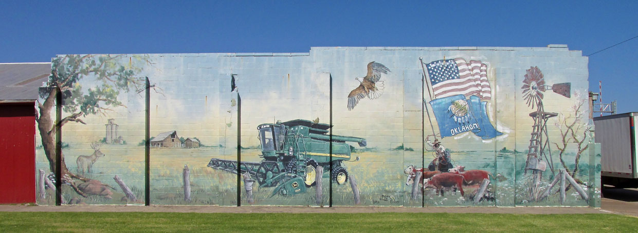
A very nice mural. I’m thinking the John Deere dealer had a hand in the production of this art work…
I saw these two hombres making their way down Broadway and took a picture just as the younger one turned toward me. They asked why I was taking pictures. I gave them the Sky Safari Story and a couple of my cards.
Nick & Dane Deterding. Both are in 4H. Nick likes to raise pigs. Dane wants to raise cattle.

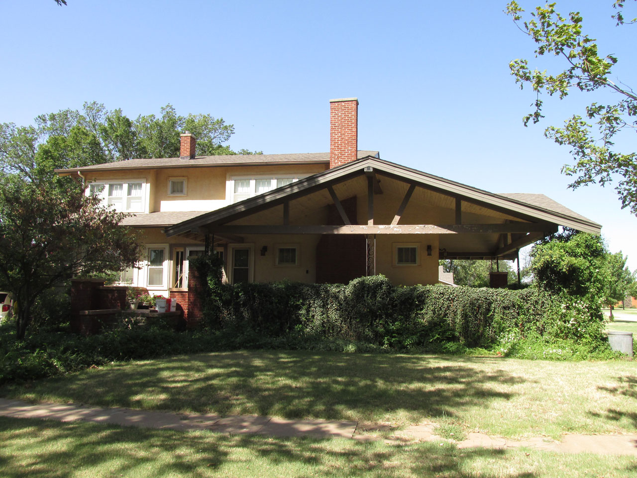
A mixture of brick, stone and concrete.
Broadway on the North side.
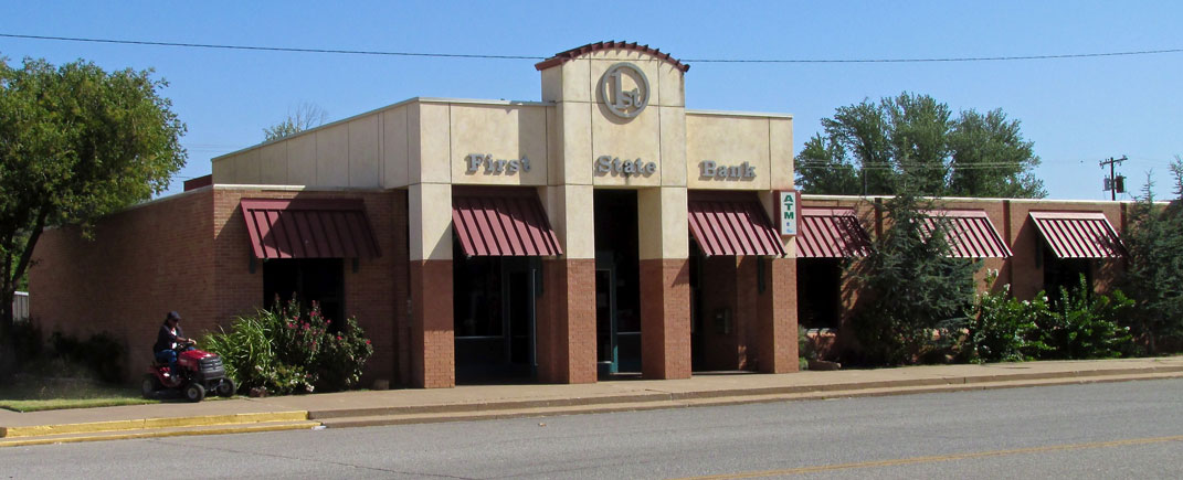
First State Bank
Business District – Broadway – The South Side
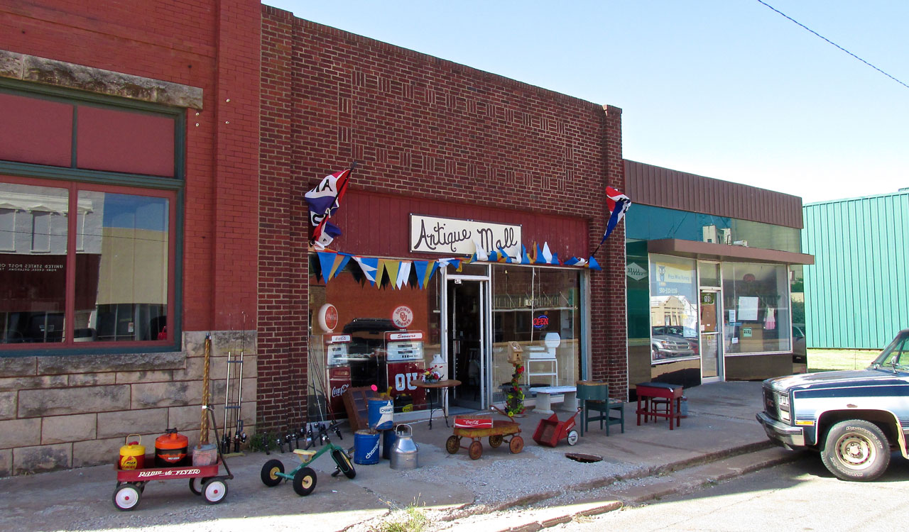
Antique Mall
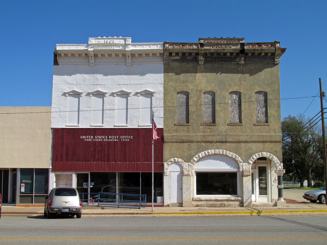
Two buildings over 100 years old. I like the stone arches and marble column of the green one.
Wilson Funeral Home
After taking the shot of the two old buildings I crossed the street. While surveying the scene, Steven Wilson came out of the Post Office with his mail, heading back to work. We talked for a minute. He said his funeral home had been in business since 1929. While writing this it occurred to me that Steven used the hearse to pick up the mail. I guess if you’re in the business, driving the hearse is just another way to get around town…
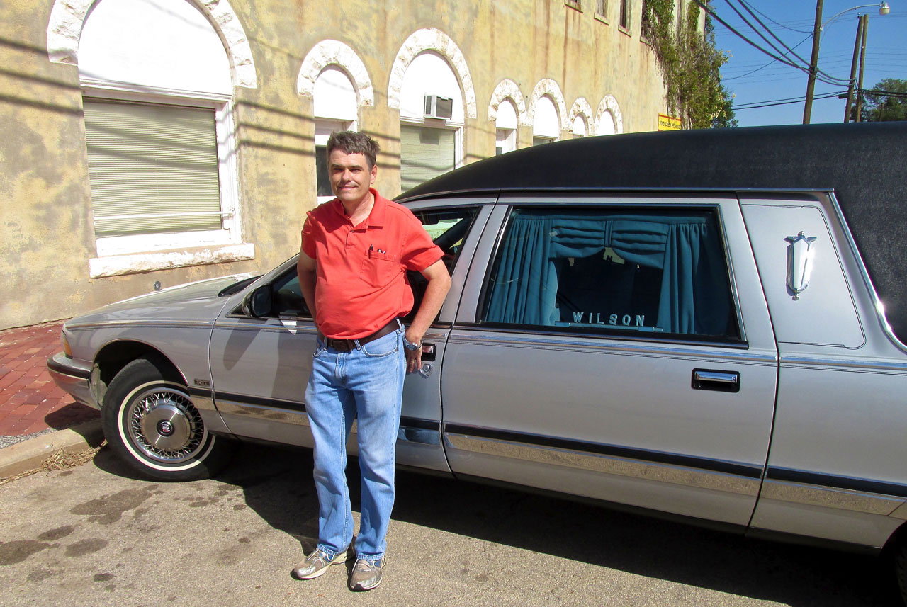
Steven Wilson – Wilson Funeral Home
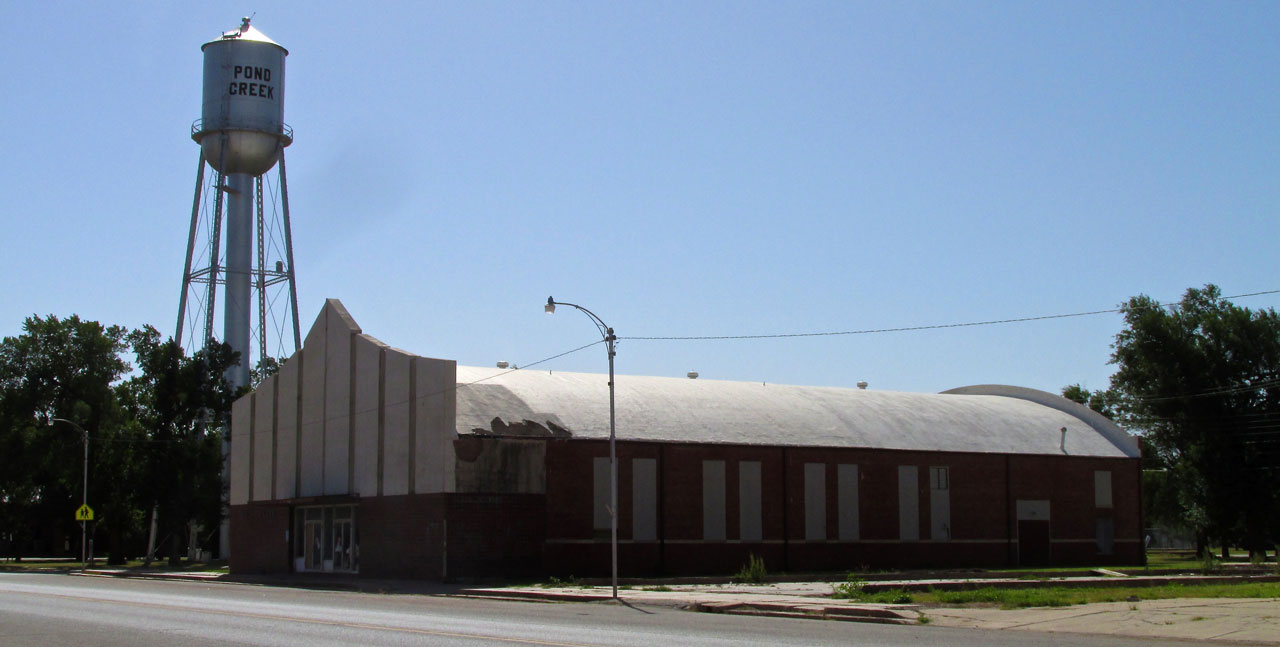
I found there are at least two water towers in Pond Creek. Here’s the other one. I could not determine what the long building had been but it was closed and not in use.
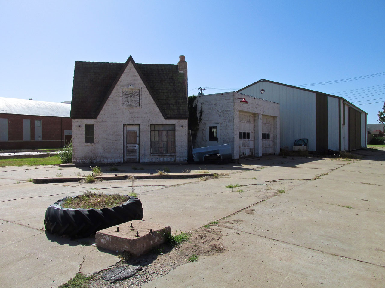
Steven Wilson told me this little, old building used to be the DX Gas Station.
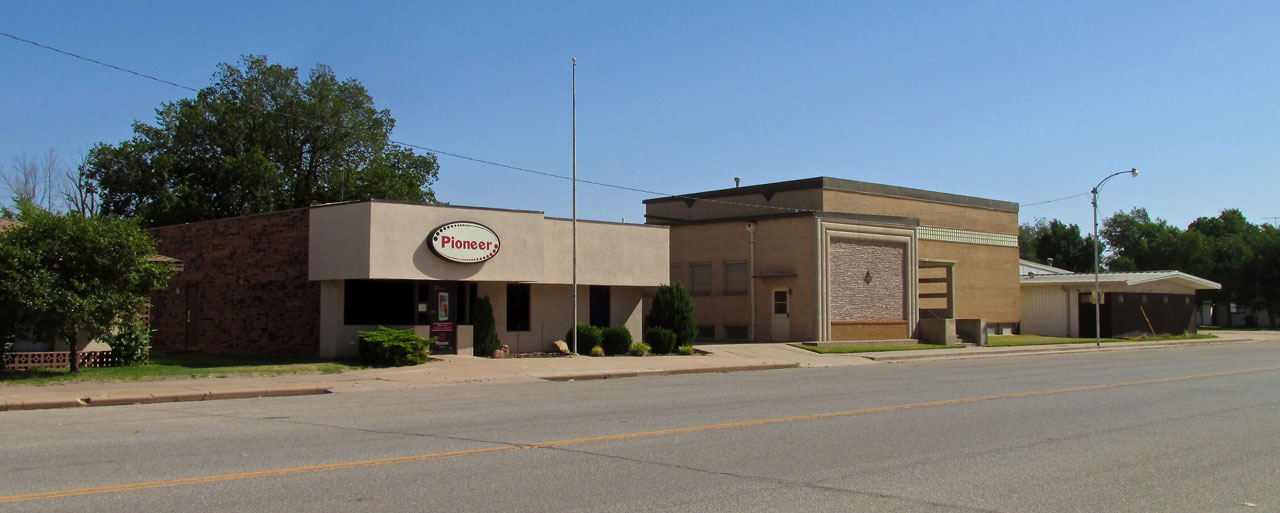
Pioneer Telephone and The Masons Building
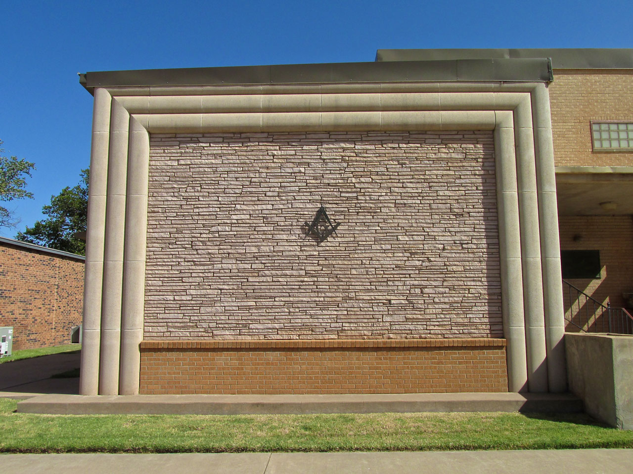
True to form, The Masons always have excellent brick and stone work on their meeting halls.
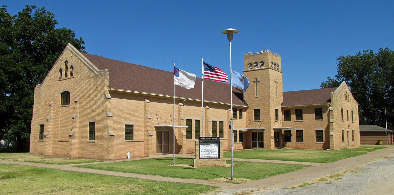
This is the unified school for Pond Creek and Hunter, Oklahoma.
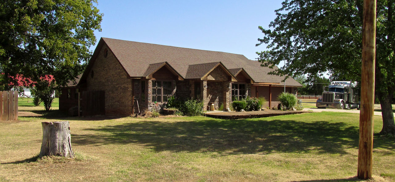
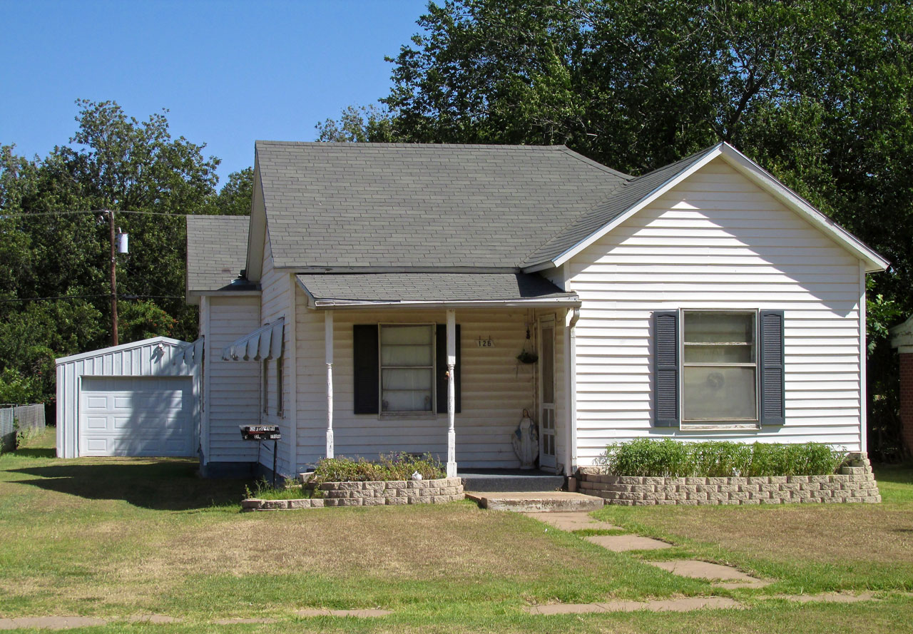
This nice brick home is where this truck driver stays when he is off the road.
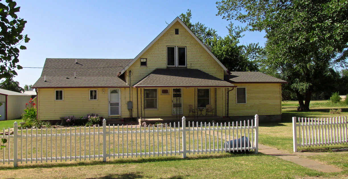
A Yellow House with a White Picket Fence.

I was intrigued by this intricate brick pattern.
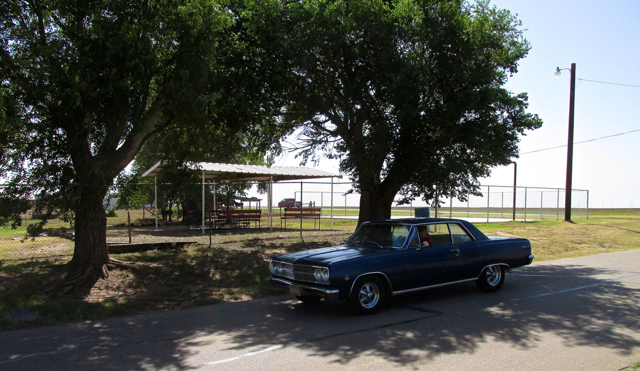
I was taking a picture of another park in Pond Creek when this Classic Chevy drove by. I waited for him to hit this spot so he could make the shot complete.
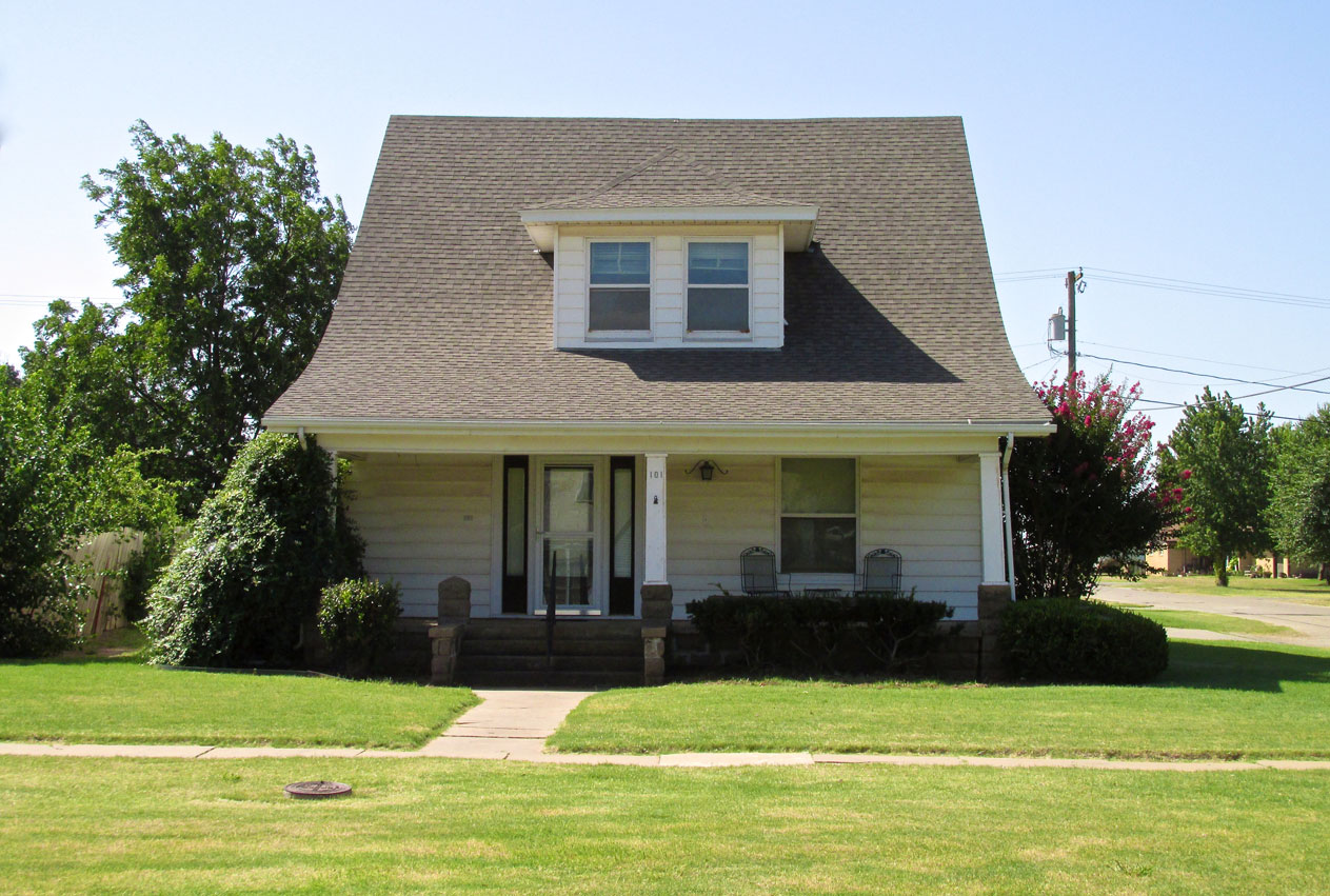
This house makes me think of Kentucky Downs for some reason.
The wind was strong when I landed and became stronger into the afternoon. Here is one in a string of visual aids I will be presenting to prove the point.
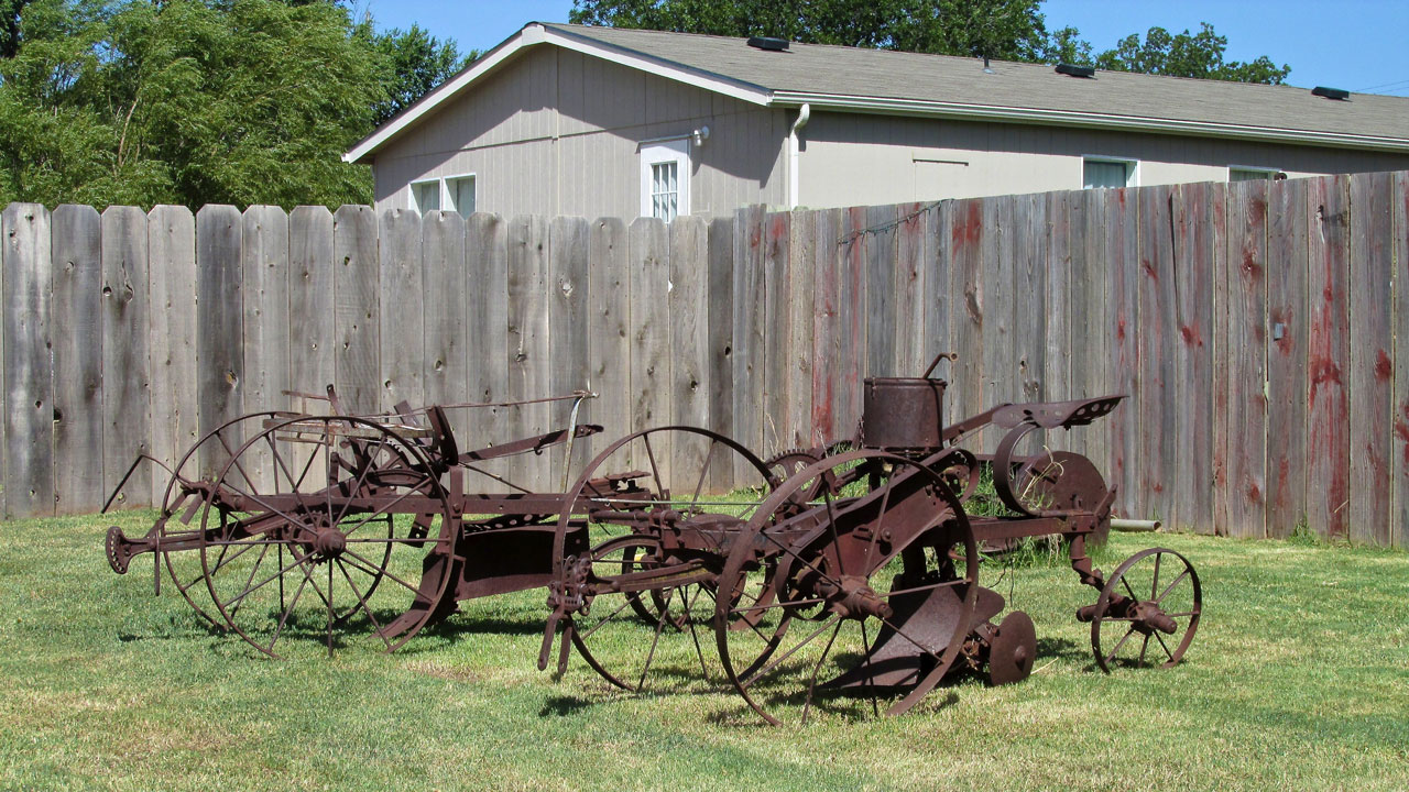
Antique Farm Equipment. What a great idea for yard ornaments!
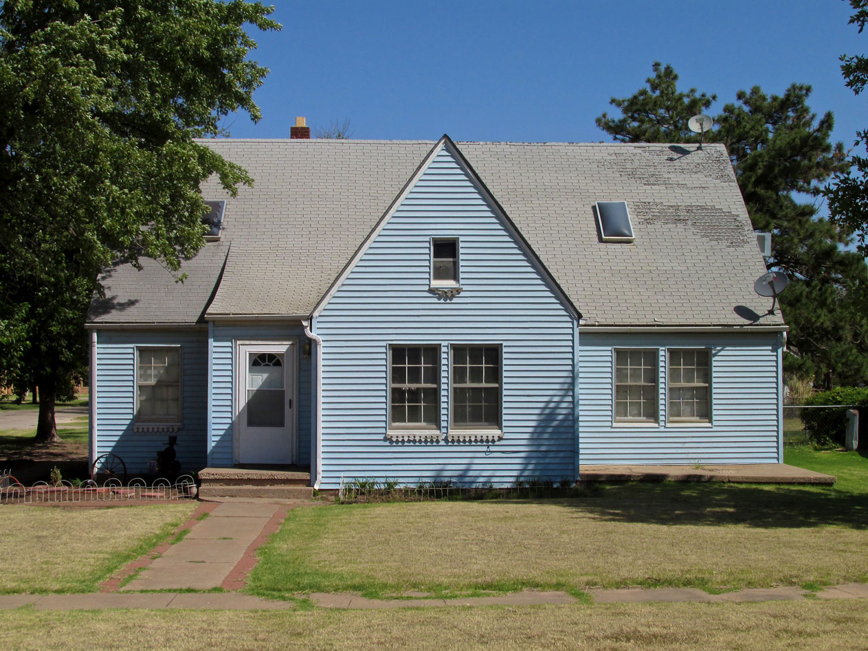
Although it needs some roof work, this house has a classic, country appeal.
The curved roof on this one makes it interesting.
An interesting and relatively new duplex.
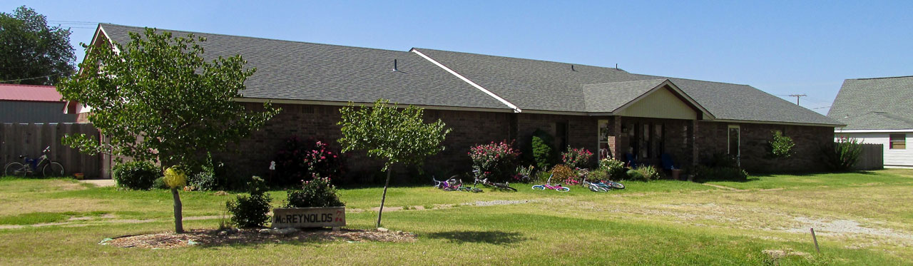
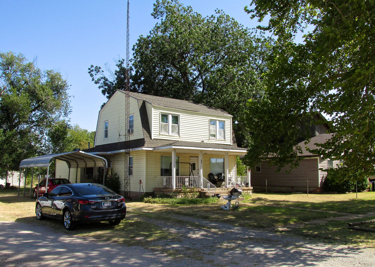
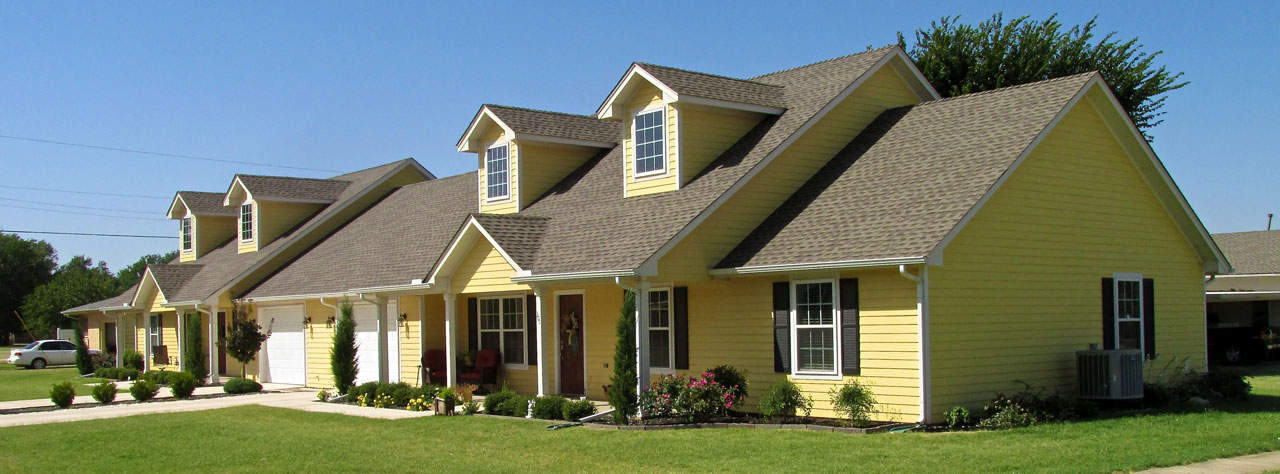
The photo doesn’t do my point justice. I think The McReynolds Home is the longest house I have ever seen. Long and narrow.
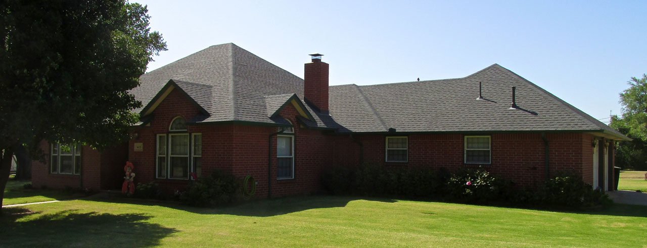
A solid looking brick ediface.
Brian’s Art Shot of The Day
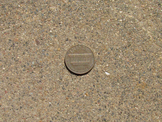
I found a penny on the sidewalk. Note the fine texture of the concrete.
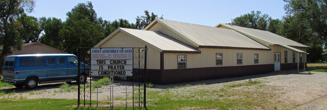
I like that. “Prayer Conditioned”.
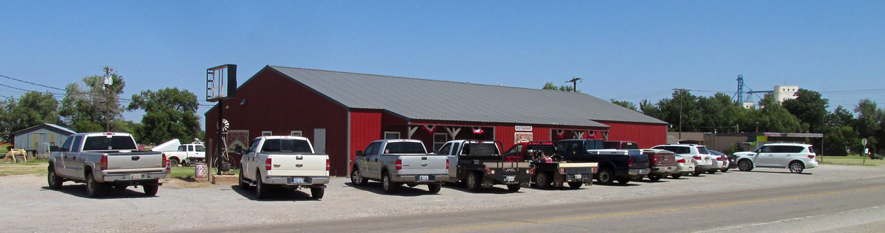
Greazy Steve’s
After touching down in Pond Creek, I asked Chris Gibson, and then later, Ann Deterding where I should eat lunch. Both mentioned Greazy Steve’s so I walked over to check it out. With a name like that how could I not stop in?
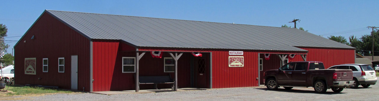
Greazy Steve’s at about 11 am.
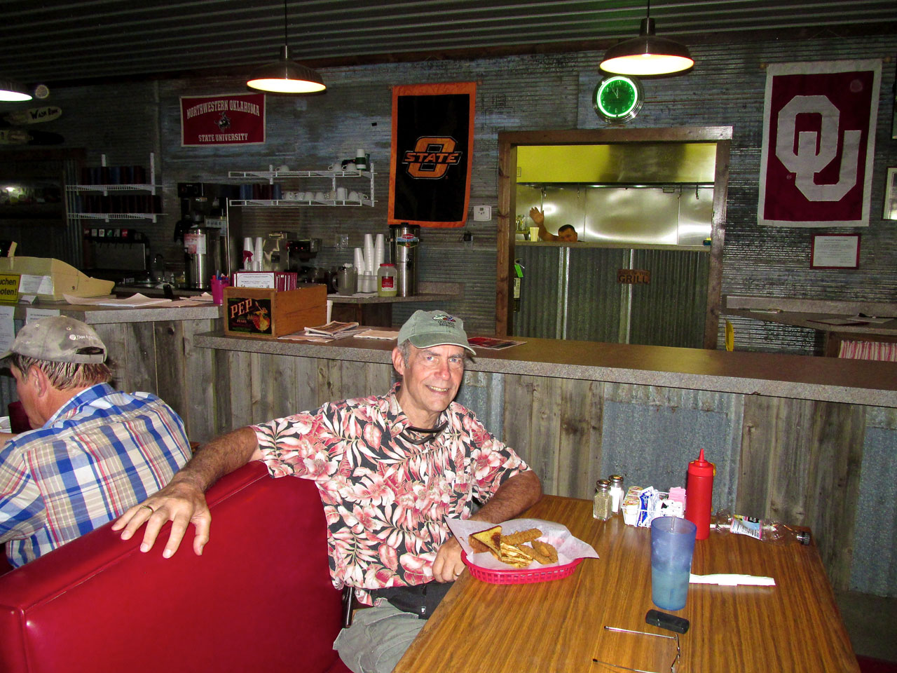
Once inside, I asked Waitress Heather to get a shot of me eating a reuben sandwich. In the background you can see cook Bob Adams waving. My Wife tells me what Adams is doing is called “Photo Bombing”… Upon reviewing these shots, The Sky Surfer realizes he looks like a raccoon after removing his Surf Goggles. I kept looking but did not find any Wichita State University banners in Greazy’s but it was nonetheless a delightful restaurant with good food and good ambience.
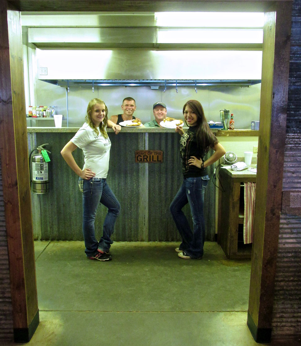
Heather Austin, Bob Adams, Greazy Steve Stinson and Dalia Herrera.
Now here is Greazy’s at the height of the lunch hour.
Bid A Fond Fairwell
As I walked back to the airfield I passed this group below. I have always thought it would be neat to have some goats. Farmer friends of mine have counseled otherwise. I’m still thinking about giving Pygmy Goats a try, though. They are a lot of fun at the petting zoo in Wichita.
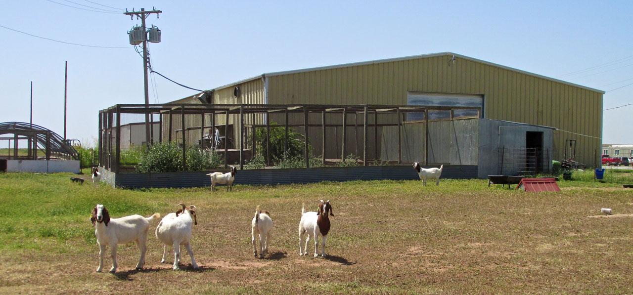
Try as I might, I could not get them to look at the camera in unison. They definitely are independent.
Surf’s Up!
It was a Yellow Flag Day that afternoon. At least that’s how I would have called it at Waimea. The temperature was about 105º and the wind was 25 gusting to 30. Just what The Sky Surfer likes! A “direct off the stern” TAILWIND! At most, about three times a season I am able to engineer a Safari ride home with a tailwind of this magnitude and angle. Gnarly but Righteous Surf! (Those of you new to The Sky Surfer’s World, go HERE for an explanation of Sky Safari Best Practices)
Even though not yellow, these flags visually relate the wind intensity.
As I pre-flighted the Quicksilver and then warmed up the motor, I stayed in the “wind shadow” of the city building. The issue for me with winds of 25 gusting to 30 manifests not in the air but on the ground. My MXL is so light it can be flipped up on a wing or even upside down if caught by a gust from the side. While the engine warmed up I took the shot below of the hopper/loader.
A loader near where I tied down my plane.
Dance The Pedals
When taking the photo above the wind was coming from behind me. Once ready to taxi to the active, my plan was to spend as little time as possible on the ground. After getting past the hopper truck I made a quick turn into the wind while simultaneously running up the throttle. Doing this, I exposed the side of my plane to the wind for the least amount of time and was airborne in seconds.
Moments after taking off I turned downwind and took this shot of the field through the right rear side of my Quicksilver. I don’t think I rolled more than 10 feet into the wind before rising into the air…
Some New, Some Old
On the way back I was following the same bearing I took for the trip to Pond Creek. So, I passed by the same general territory. Even so, I will show you some things I didn’t see on the trip up OR some of the same things from a different angle.
Below we see a rarity – A Round Barn. There is one outside Derby, Kansas that I have photographed many times. They are an historical design of note. I found a site by Dale Travis that has to be the definitive website in tribute to The Round Barn. You can see it HERE.
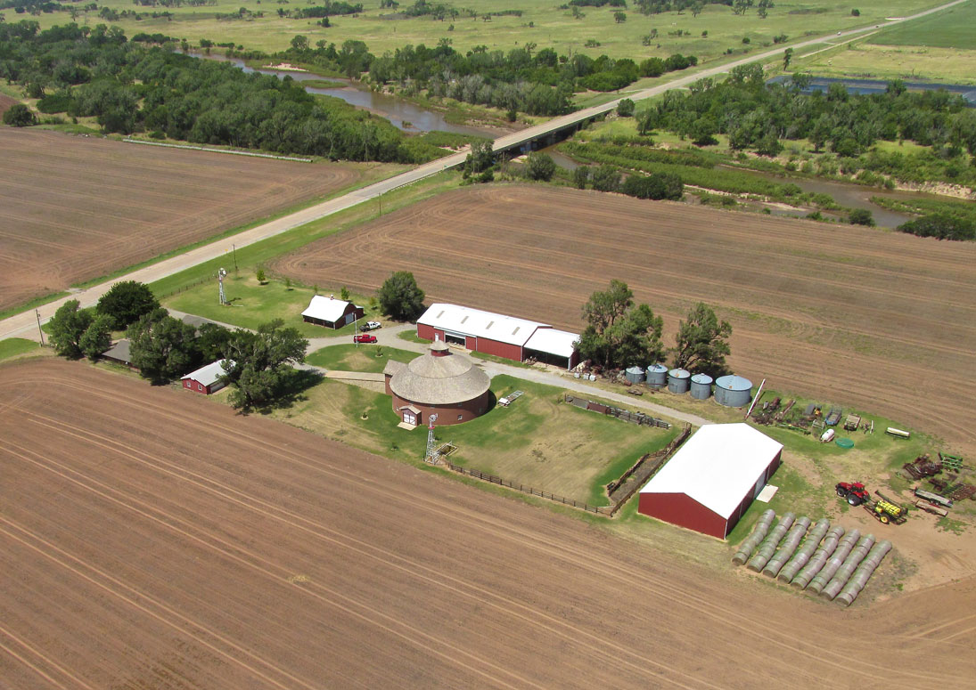
A Round Barn surrounded by contemporary out buildings.
My Son Jack liked trains when he was young. Here is a fine specimen of a railroad truss bridge set in a beautiful scene.
Heading Northeast, I shot this telephoto to show Jefferson, OK to the left with Medford, OK on the horizon toward the right.
This grain elevator is on the East Side of Jefferson. I can’t figure what the red and white building adjacent to it is for. It looks like an office or apartment building but that can’t be.
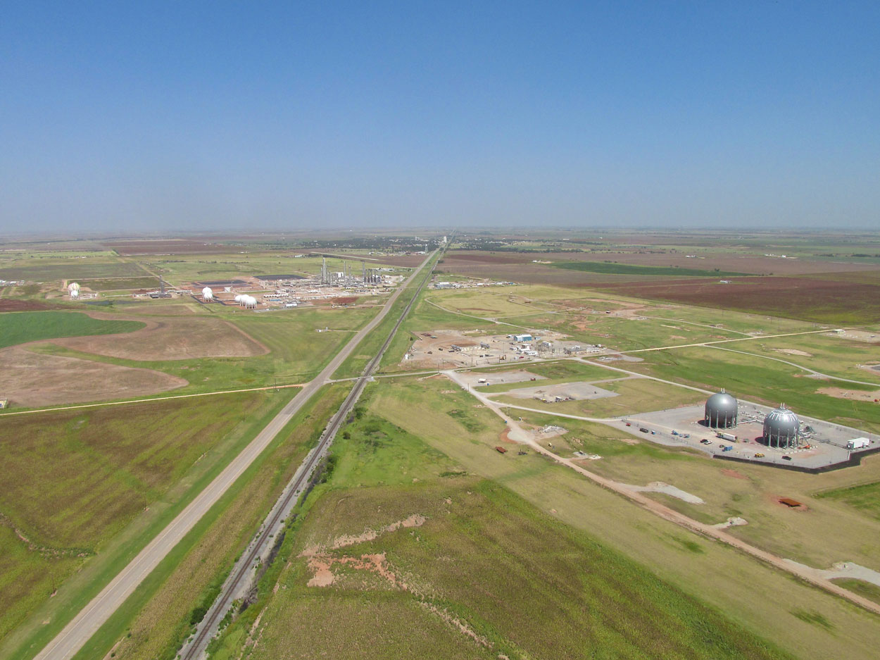
Three items here. In the fore are two gas plants straddling the highway/railroad. Then if you look closely you will see the Medford Municipal Airport left of the highway. Finally at the middle on the horizon is Medford, Oklahoma.
The Medford Airport from 800′ AGL looking Northwest.

Medford from about two miles South looking North at 1000′ AGL.
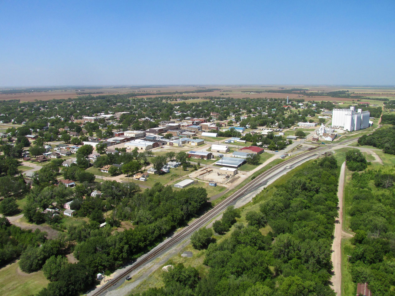
Downtown Medford is anchored by a grain elevator next to the railroad tracks.
Looking Northeast after passing Medford at 1,000′ AGL. I was riding a 30 mph tailwind and the temperature was about 100 degrees.
Somebody is saving old railroad ties.
I couldn’t decide what this project was about…
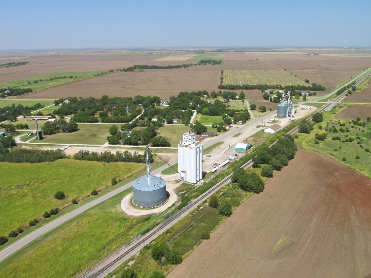
Don’t let the top name on the grain elevator fool you like it did me… This is Renfrow, Oklahoma. Clyde is over to the West and is even smaller. The internet had little information about it. That in itself is a good reason to like Clyde, Oklahoma.
Caldwell, Kansas. Coming in I showed it from the other side. This is from 400′ AGL looking Northwest.
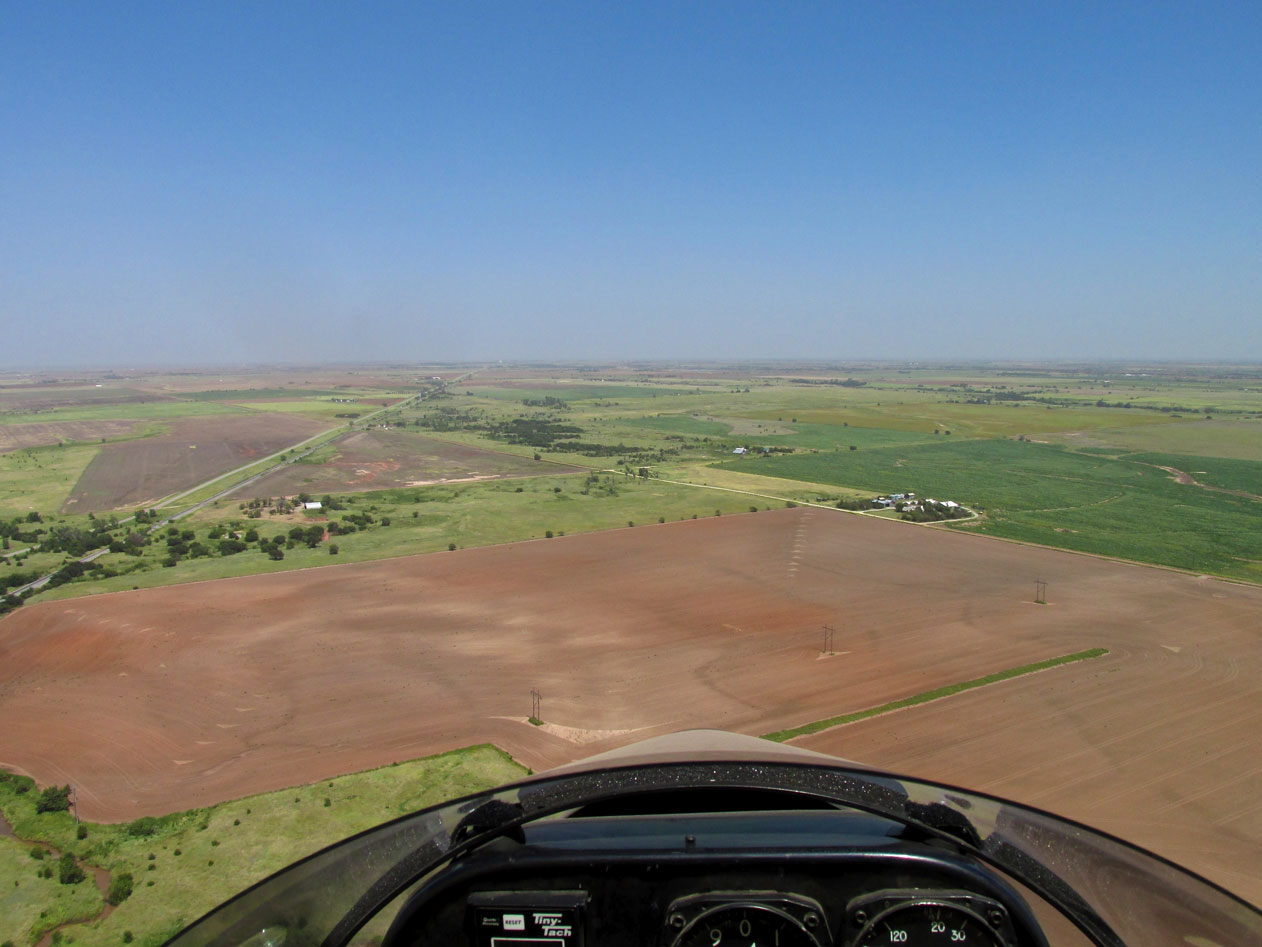
Back out in the country again at Ultralight Flight Level 75.
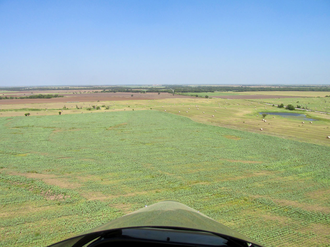
The point of this shot is largely lost because it is not in motion. What I want you to see is the wavelets on the surface of the green corn. They are very pronounced in higher winds.
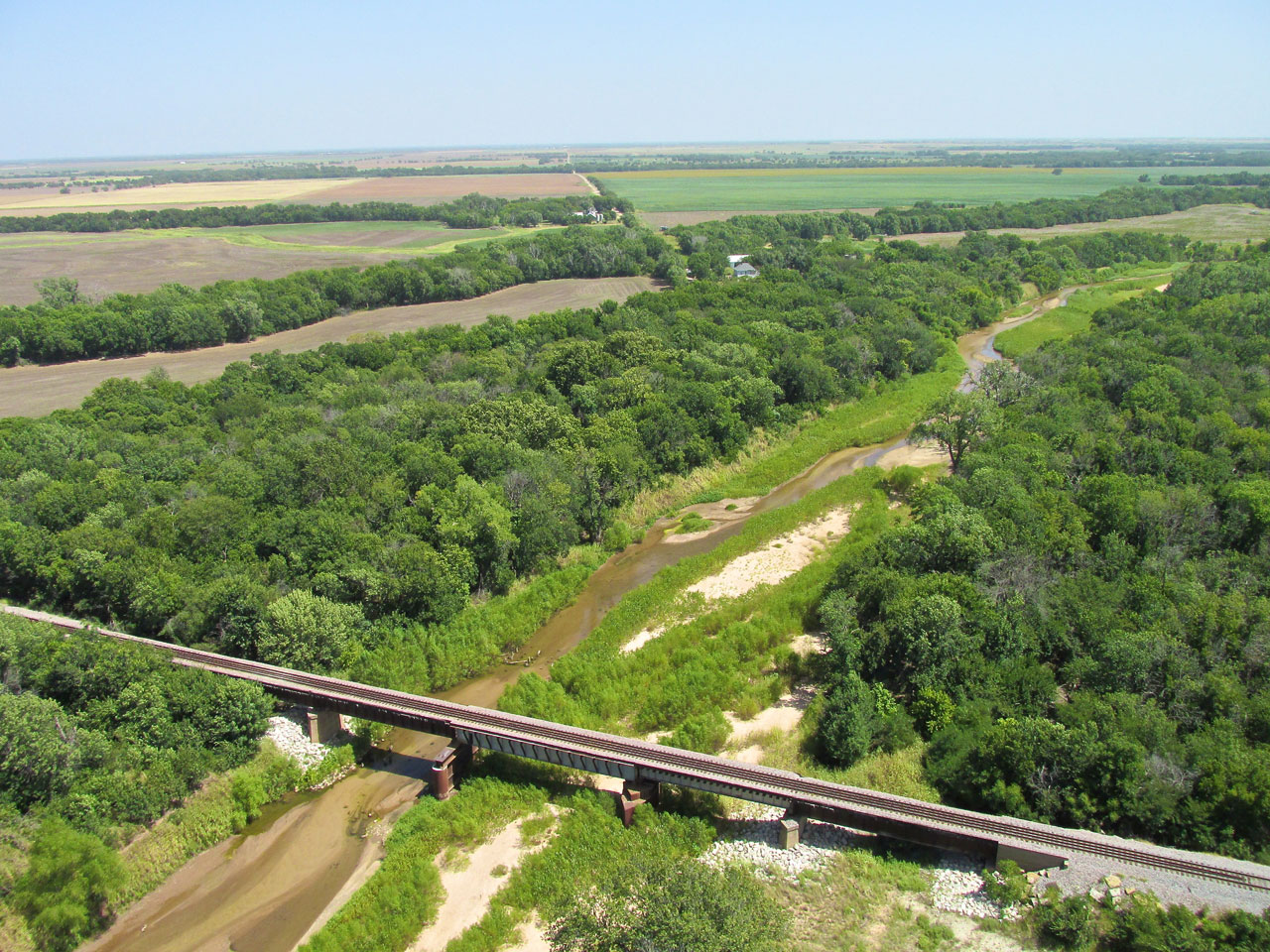
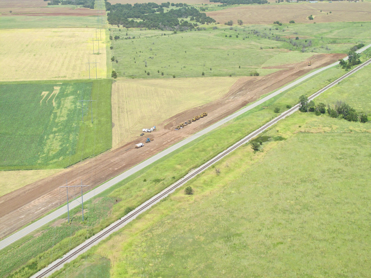
I was admiring this new railroad bridge over the Chikaskia River when…
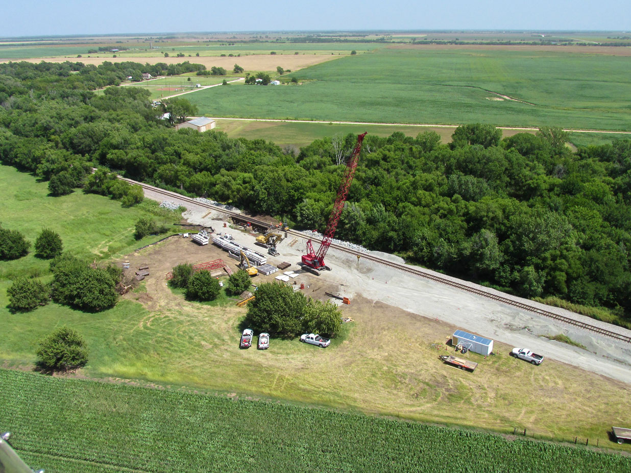
…just up the road I saw this crew working on another bridge. I was tracking about 70 mph across the ground when I took this shot. After that I pulled up into a right high bank and turned 180 degrees back into the wind. This allowed me to hover above the crew for a second. I waved and then turned downwind again rapidly disappearing from sight.
A little settlement with no name but containing a grain elevator with a railroad stop. In the foreground you get a better idea of the “wind waves on the corn” I was showing earlier.
A Sequence – Mystery Then Solution
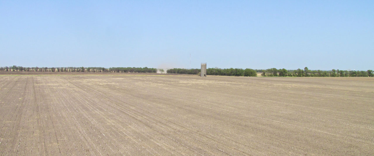
I decided to fly at 10′ AGL for a while and noticed what looked like a “dust devil” at the corner of the field above.
As I passed over it, though, you can see it was a large John Deere pulling a disking rig. That’s where the dust came from. One field in this quadrant has recently been burned.
Wellington, Kansas from the West. I am at about 500′ AGL approximately 5 miles away.
I described this “burned out” looking crop to a couple of guys who should know. They said it is called “silage”. I think they mean it would be used to make silage.
Another angle. I am at about 30′ AGL.
This is Riverdale, Kansas from 300′ AGL. I didn’t see anyone out. It was very hot that day.
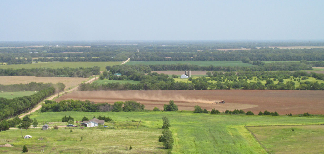
A little farther along I saw this Case Tractor leaving an impressive sky trail of dirt. I was in parallel flight to that dirt plume.
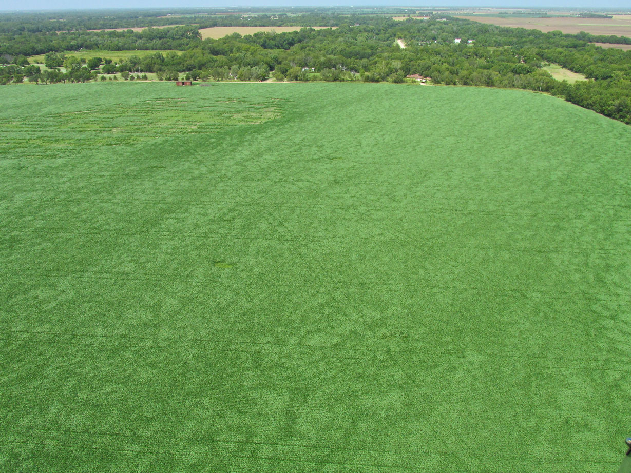
In case you haven’t gotten the point yet, here is another scene showing the wind dancing on the corn. You’ll just have to imagine it in motion. It was mesmerizing.
Sometimes I will duck into the Ninnescah for a short run but it was far too windy and turbulent down there to have any fun that day…
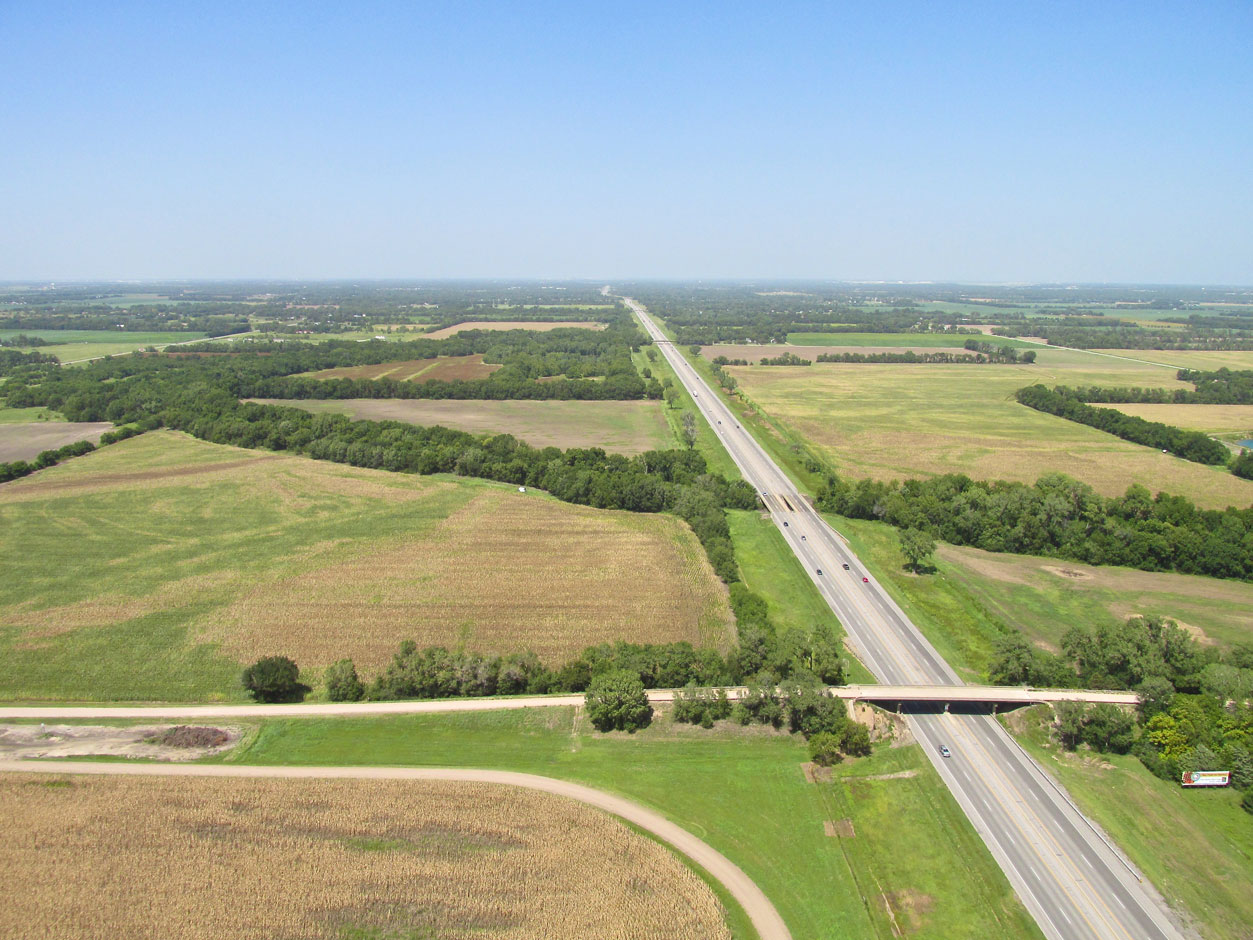
This is I-135 heading North through Wichita. The part that cuts through town is called The Canal Route and represents a major engineering coup.
Wind Shadow
Whenever I return from a Safari in a relatively high wind, I taxi up to the South side of the Quonset hangar. This shields my plane from the wind so I can walk over and open the door to my hangar which is to the North.
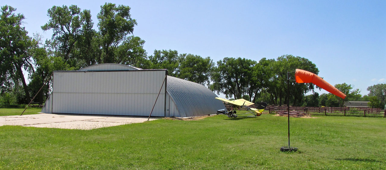
Sky Surfer’s trusty Quicksilver MXL rests out of the breeze before being put to stable.
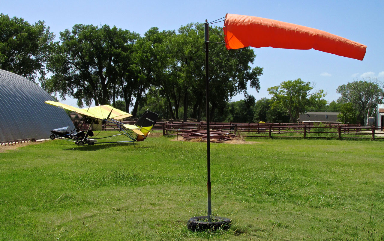
Because the excellent tailwind figured so big in this story I decided you needed a double dose of the windsock shot!
All The Elements
A lot of guys only like to fly when it is calm. I guess that is OK for them.
The Sky Surfer doesn’t mind robust wind at all – in fact – he thrives on it. Strong Sky Surf is enjoyable as a challenge and simply as a motive force. Whenever he gets the chance, he really, really enjoys a strong tailwind on the homeward leg. Riding The Big Waves back from Pond Creek made an interesting trip all that much better.
‘Till Next Safari – This is Brian FitzGerald – The Sky Surfer wishing you Blue Skies & Tailwinds!™